The best walks and hikes around Montgaillard
4.4
(307)
2,256
hikers
96
hikes
Hiking around Montgaillard offers diverse landscapes within the Hautes-Pyrénées department, situated in the Pyrenees mountain range. The region is characterized by varied topography, including mountainous terrain, extensive forests, and prominent ridges. It is drained by the Adour River and its tributaries, contributing to picturesque riverside settings. This area also encompasses a Natura 2000 site, highlighting its natural heritage.
Best hiking trails around Montgaillard
- The most popular hiking route is Fairy Cave – The thermal baths loop from Bagnères-de-Bigorre, a…
Last updated: July 4, 2026
4.7
(10)
74
hikers
7.44km
02:16
250m
250m
Moderate hike. Good fitness required. Easily-accessible paths. Suitable for all skill levels.
4.5
(2)
12
hikers
5.27km
01:32
140m
140m
Easy hike. Great for any fitness level. Easily-accessible paths. Suitable for all skill levels.

Sign up for free
3.0
(1)
11
hikers
Easy hike. Great for any fitness level. Easily-accessible paths. Suitable for all skill levels.
4.0
(1)
4
hikers
8.45km
02:19
140m
140m
Moderate hike. Good fitness required. Easily-accessible paths. Suitable for all skill levels.
3
hikers
6.55km
01:50
130m
130m
Easy hike. Great for any fitness level. Easily-accessible paths. Suitable for all skill levels.
Get access to more routes and recommendations from other explorers.
Sign up for free
Already have an account?
Our route recommendations are based on thousands of hikes, rides, and runs completed by other people on komoot.
Start today with a free account
Your next adventure awaits.
Login or Signup

Tips from the Community

beautiful church for a moment of reflection
0
0

Small, centrally located bistro where you can have a drink and a bite to eat
1
0
Beautiful church that should definitely be visited when visiting the city
1
0

Very worth seeing, you have to see it
0
0

it's totally different from that of the north
0
0

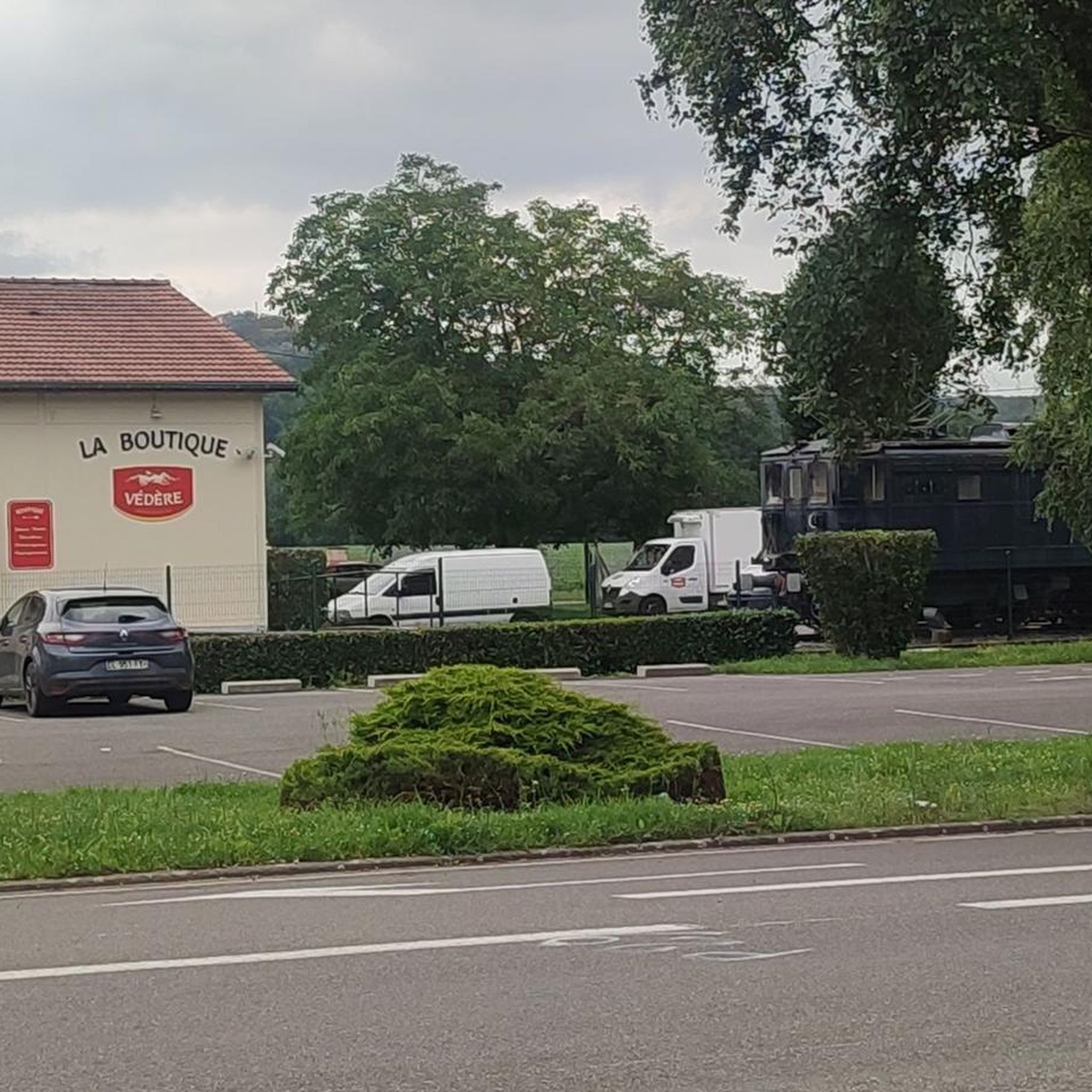
Beautiful old station building and nice use. Unfortunately, a railway cycle path would be much nicer as an alternative to the busy D8.
4
0

Bagnères-de-Bigorre is at the foot of the emblematic Pic du Midi. This spa resort, which dates back to antiquity, is located in a peaceful natural setting. The town is about thirty kilometers from the Col du Tourmalet. The Col d'Aspin, another legend of the Tour de France, is also not far away.
0
0
Frequently Asked Questions
How many hiking trails are available in Montgaillard?
Montgaillard offers a wide variety of hiking experiences, with nearly 100 trails available. These routes cater to different preferences and skill levels, allowing you to explore the diverse landscapes of the Hautes-Pyrénées.
What are the difficulty levels of hikes in Montgaillard?
The trails around Montgaillard offer a range of difficulties. You'll find over 35 easy routes, more than 50 moderate trails, and a few challenging options for experienced hikers. This variety ensures there's a suitable path for every adventurer.
Are there family-friendly hiking options in Montgaillard?
Yes, Montgaillard is well-suited for family outings. The Fairy Cave – The thermal baths loop from Bagnères-de-Bigorre is a moderate trail that connects interesting sights. Additionally, the region research mentions the Puyolles Circuit, a family-friendly loop that winds through the village heights, and a unique Barefoot Trail for a sensory adventure.
Are there any circular hiking routes in Montgaillard?
Yes, Montgaillard offers several circular hiking routes. The Kkkk loop from Pouzac is a popular moderate option. The region also features the Puyolles Circuit and a circular walk from Montgaillard village up Les Côtes and to Saint-Genès, both offering extensive views of the Pyrenees.
What kind of views can I expect on hikes around Montgaillard?
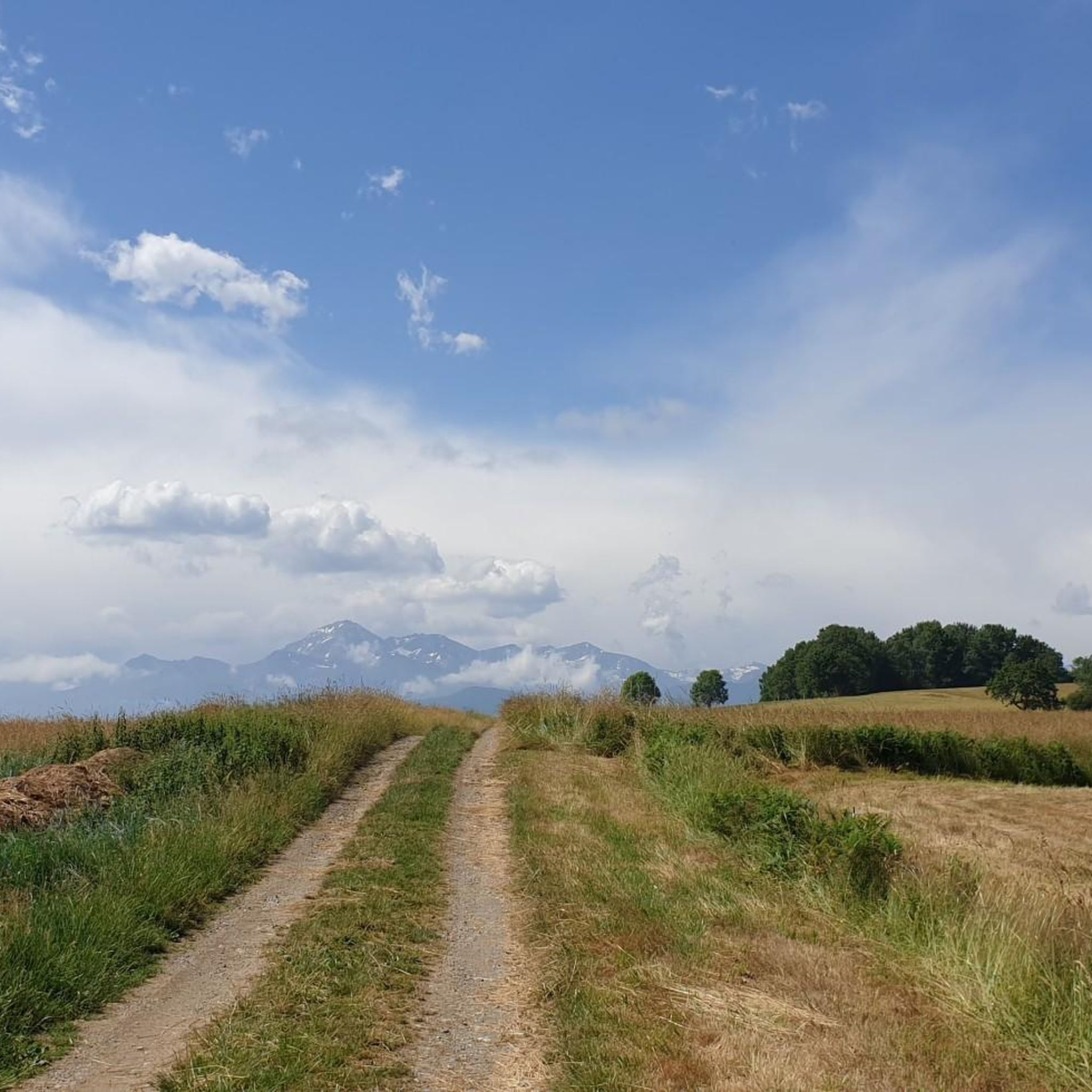
Hiking around Montgaillard provides stunning and varied views. From higher vantage points, you can enjoy panoramic vistas of the Tarbaise plain, the Haut-Adour valley, and iconic peaks like the Pic du Midi de Bigorre and Montaigu. Ridge walks offer sweeping views of the Pyrenees to the south and the plain to the north, while trails like the one to Cabane des Carmilles provide scenic glimpses of the Pyrenees through forested areas.
Are there any notable natural features or attractions to see while hiking?
Montgaillard is rich in natural beauty. The area encompasses a Natura 2000 site known as the 'valley of the Adour' and is drained by the picturesque Adour River. You can also explore nearby attractions such as Bagnères-de-Bigorre, a charming spa town, and the Pic du Midi, known for its observatory and breathtaking views.
What do other hikers enjoy most about the trails in Montgaillard?
The trails in Montgaillard are highly regarded by the komoot community, with an average rating of 4.5 stars from over 300 reviews. Hikers often praise the diverse landscapes, from mountainous terrain and extensive forests to picturesque riverside settings along the Adour River, and the well-maintained paths suitable for various ability levels.
When is the best time to go hiking in Montgaillard?
The best time for hiking in Montgaillard typically spans from spring through autumn, when the weather is mild and the mountain paths are clear of snow. Summer offers warm conditions ideal for higher-altitude exploration, while spring and autumn provide vibrant foliage and comfortable temperatures. Winter hiking is possible, but some higher trails may require specific gear due to snow and ice.
Are there options for more challenging hikes in the Montgaillard area?
While Montgaillard offers many easy and moderate trails, there are also more challenging options for experienced hikers, with 6 difficult routes available. The region's proximity to the Pyrenees National Park also opens up access to renowned long-distance trails like the GR10 and iconic sites such as the Cirque de Gavarnie and the Vignemale for those seeking extensive adventures.
Can I reach hiking trailheads in Montgaillard using public transport?
Montgaillard is situated in a rural area of the Hautes-Pyrénées. While some local bus services might connect to nearby towns like Bagnères-de-Bigorre, direct public transport access to all trailheads might be limited. It is advisable to check local transport schedules or consider personal transportation for greater flexibility in reaching specific starting points.
Are there any specific trails that offer panoramic views of the Pyrenees?
Absolutely. For sweeping panoramic views of the Pyrenees, consider trails that involve ridge walks. The region research highlights routes like the one to Col de Porte-Pa, which offers stunning views of the Foix valley and high Pyrenean peaks, and the circular walk to Les Côtes and Saint-Genès, providing extensive vistas from Soularac to Roc de Batail.
What kind of wildlife might I encounter on the trails?
The Montgaillard area, with its diverse landscapes including forests, rivers, and mountainous terrain, is part of a rich ecosystem. As a Natura 2000 site, it supports various species. Hikers might spot local birds, small mammals, and a variety of flora. Respecting the natural environment and keeping a quiet presence increases your chances of observing wildlife.
Most popular routes around Montgaillard
Most popular attractions around Montgaillard

Get inspired with the komoot mobile app


Explore more
Browse the best Hikes in other regions.
