The best walks and hikes around Bians-Les-Usiers
4.5
(673)
4,023
hikers
145
hikes
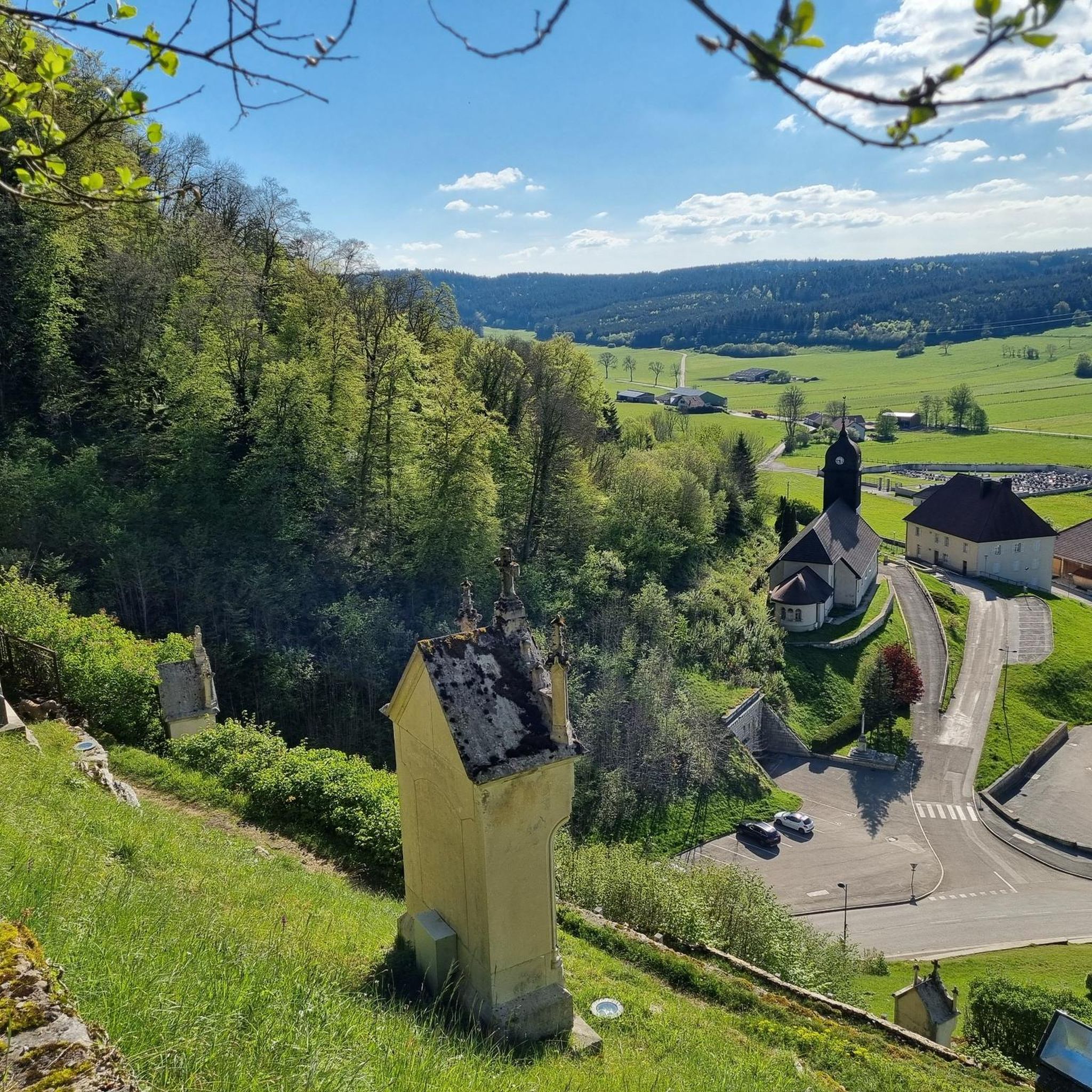
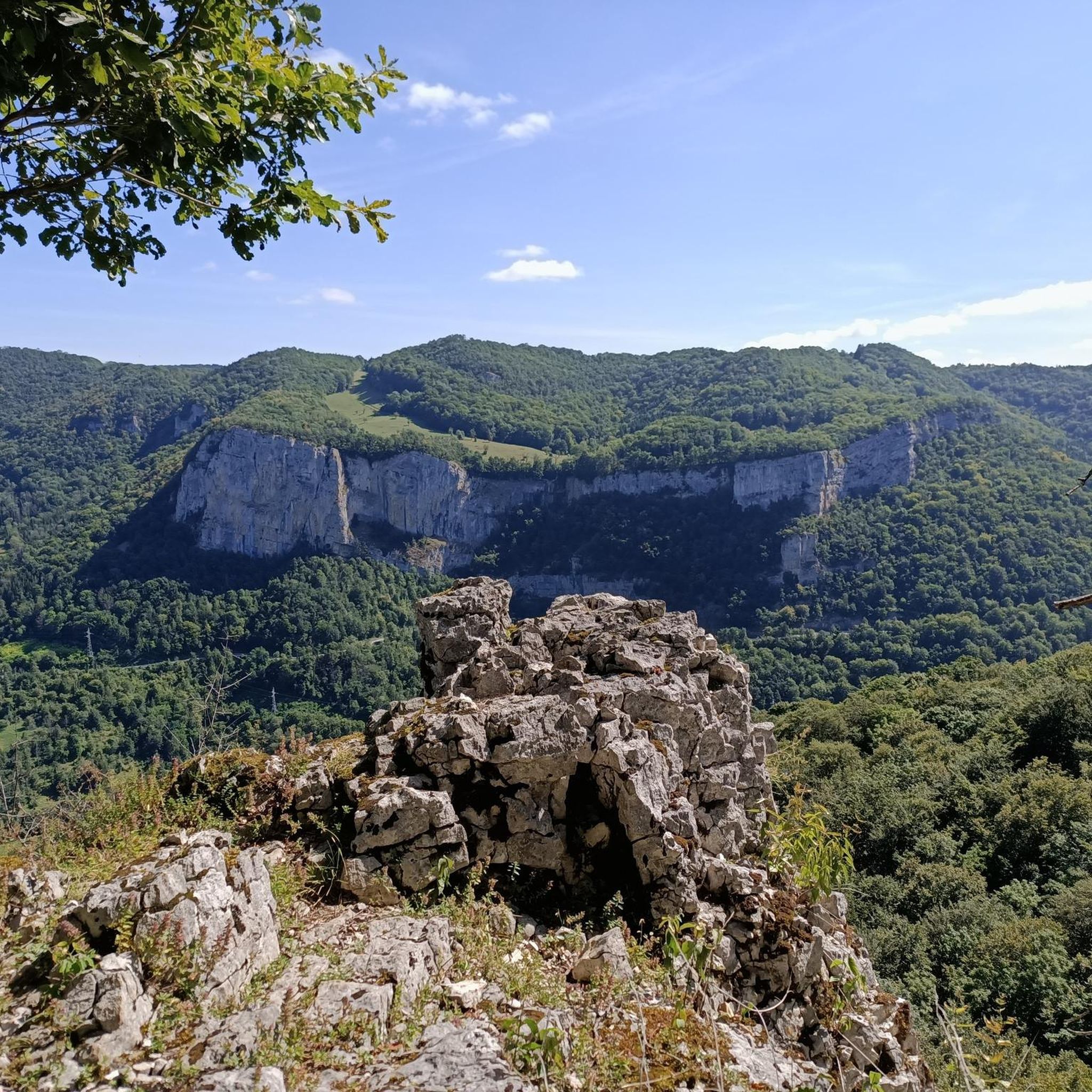
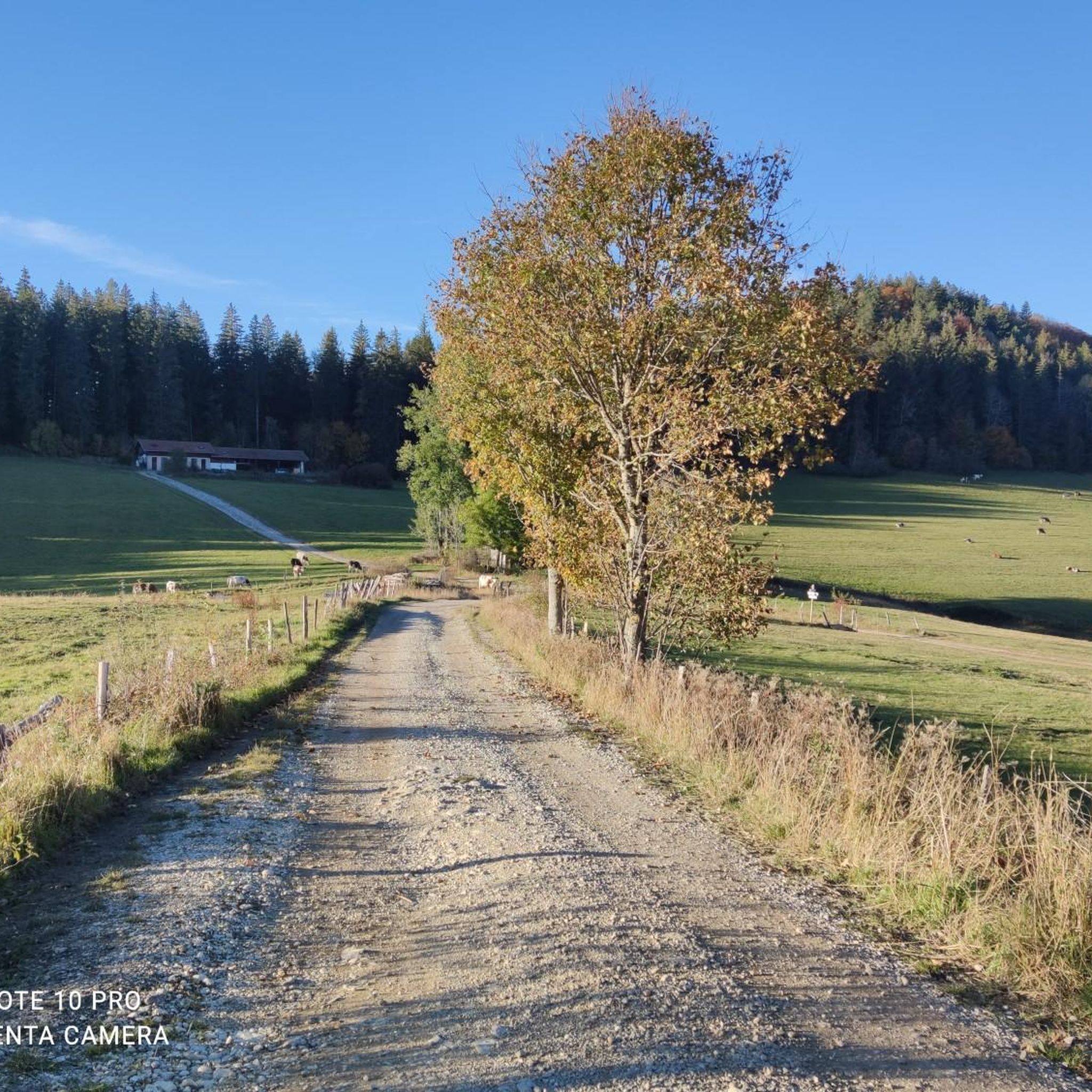
Hiking around Bians-Les-Usiers, located in the Jura mountains, offers diverse terrain ranging from 700 to 922 meters in elevation. The region is characterized by a fascinating karst environment, dense forests, and deep gorges. Notable features include the dramatic Source of the Loue and several panoramic viewpoints. This area provides varied hiking opportunities for exploring its natural beauty.
Best hiking trails around Bians-Les-Usiers
- The most popular hiking route is Source de la Loue – Gorges of the Loue loop from Ouhans…
Last updated: May 25, 2026
4.8
(13)
87
hikers
19.5km
06:09
780m
780m
Hard hike. Very good fitness required. Sure-footedness, sturdy shoes and alpine experience required.
4.3
(12)
62
hikers
11.2km
03:46
430m
430m
Moderate hike. Good fitness required. Mostly accessible paths. Sure-footedness required.

Sign up for free
5.0
(6)
24
hikers
4.27km
01:13
100m
100m
Easy hike. Great for any fitness level. Easily-accessible paths. Suitable for all skill levels.
5.0
(2)
19
hikers
8.58km
02:31
240m
240m
Moderate hike. Good fitness required. Easily-accessible paths. Suitable for all skill levels.
1.0
(1)
18
hikers
7.23km
02:10
220m
220m
Moderate hike. Good fitness required. Easily-accessible paths. Suitable for all skill levels.
Get access to more routes and recommendations from other explorers.
Sign up for free
Already have an account?
Our route recommendations are based on thousands of hikes, rides, and runs completed by other people on komoot.
Start today with a free account
Your next adventure awaits.
Login or Signup

Tips from the Community

Please note that the trail has been closed since 2022. The original plan was to secure the trail until 2023, but it was then extended to 2024, but it was still closed in 2025.
2
0

I love this place
0
0

You can still see some old and newer buildings at the source of the Loue, as well as bridges and walls that probably belonged to the former mills here.
4
0
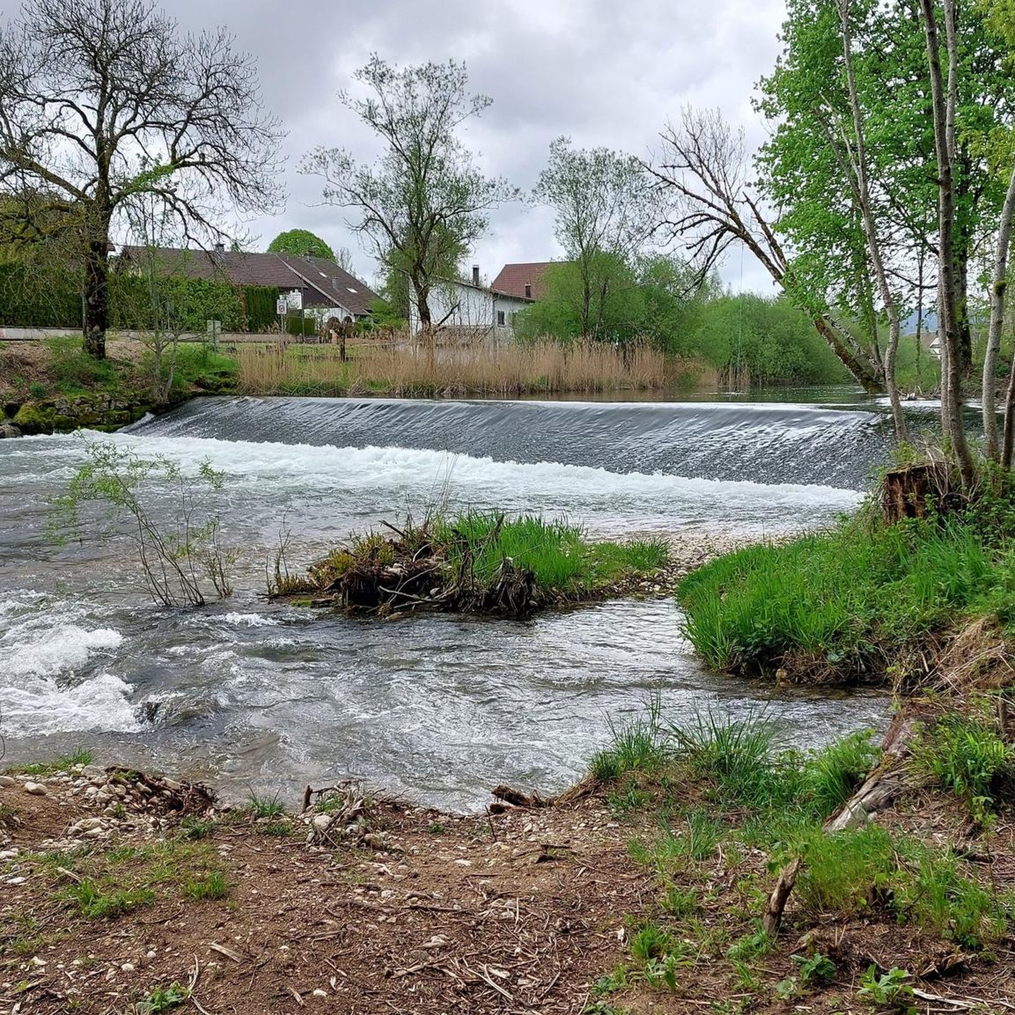
Great paths lead along the Loue and offer beautiful views of the wild river.
3
0
The source of the Loue River is announced by the rushing water even before you see it. It's impressive and magical to stand beneath the 150-meter-high cliffs and watch the river rush out of its cave.
5
1

A river straight from the mountain - and then a spectacular waterfall!
0
0

It's also worth taking a canoe down the river.
1
0
Frequently Asked Questions
How many hiking trails are available around Bians-Les-Usiers?
There are over 140 hiking routes around Bians-Les-Usiers, catering to various fitness levels, from easy strolls to challenging treks. You'll find 53 easy routes, 64 moderate, and 23 difficult trails.
Are there any family-friendly hiking options in the Bians-Les-Usiers area?
Yes, the region offers several easier trails suitable for families. While specific family-friendly routes aren't highlighted, many of the 53 easy routes provide gentle terrain and shorter distances, perfect for a leisurely outing with children. Consider exploring paths around the villages for less strenuous walks.
What kind of natural features can I expect to see on hikes around Bians-Les-Usiers?
The Bians-Les-Usiers area is rich in natural wonders. You can explore the dramatic Source de la Loue, where the river emerges from a rock face, or the unique Source du Pontet with its waterfall and limestone formations. The Gorges de Noailles offer captivating walks through dense woods. The region is also known for its fascinating karst landscape and panoramic viewpoints like those at Renédale and Mont Pelé.
Are there any challenging hikes for experienced trekkers?
Absolutely. For experienced trekkers, the region offers 23 difficult routes. A notable challenging option is the Source de la Loue – Source du Pontet loop from Ouhans, a 19.5 km path that connects two significant river sources and features considerable elevation changes.
Can I find circular hiking routes in Bians-Les-Usiers?
Yes, many of the trails are designed as circular routes, allowing you to start and end at the same point. Examples include the Source de la Loue – Gorges of the Loue loop from Ouhans and the Source de la Loue – Gorges de Noailles loop from Ouhans. These loops are excellent for exploring the area's natural beauty without retracing your steps.
What are the best viewpoints for panoramic scenery?
For breathtaking panoramic views, consider hiking to Mont Pelé (1045 m), which offers sweeping 360-degree vistas of the Val des Usiers, the high Jura mountain range, and even Mont Blanc on clear days. The Mount Pelé loop from Bugny is a great way to experience this. Other notable viewpoints include those at Renédale, du Moine, and Hautepierre.
What do other hikers say about the trails in Bians-Les-Usiers?
The hiking routes in Bians-Les-Usiers are highly rated by the komoot community, with an average score of 4.5 stars from over 660 reviews. Hikers often praise the diverse terrain, the impressive natural features like the Source de la Loue, and the well-marked paths that make exploring the Jura mountains enjoyable.
Are there any historical or cultural attractions near the hiking trails?
Beyond the natural beauty, you can visit the historic Joux Castle, a significant fortress in the region. While not directly on a hiking trail, the UNESCO World Heritage site of the Royal Saltworks of Arc-et-Senans is also within reach, offering a glimpse into the area's industrial past.
What is the best time of year to go hiking in Bians-Les-Usiers?
The region is beautiful throughout the warmer months, typically from spring to autumn, when the trails are clear and the weather is pleasant for exploring. Autumn offers vibrant foliage, while spring brings fresh greenery. Winter hiking is possible but may require specific gear due to snow and ice, especially at higher elevations.
Are there any specific trails that feature waterfalls?
Yes, the region is known for its dramatic water features. The Source de la Loue is a spectacular site where the river emerges from a 150-meter-high rock face. Additionally, the Source du Pontet features a waterfall originating from a deep, accessible cave, making it a unique natural highlight to visit.
What are the typical elevation changes on hikes in this area?
The elevation in the Bians-Les-Usiers region ranges from 700 to 922 meters, offering varied terrain. While some easy routes have minimal elevation gain, more challenging trails like the Source de la Loue – Source du Pontet loop from Ouhans can involve significant ascents, with over 775 meters of elevation gain.
Are there any towns or villages nearby where I can find amenities?
Yes, the area includes charming towns and villages. Pontarlier is a nearby city offering a wider range of amenities, while Ornans is known for its picturesque setting along the Loue river. Smaller villages like Ouhans, Goux-les-Usiers, Levier, and Sombacour also provide local services and a starting point for many trails.
Most popular routes around Bians-Les-Usiers
Most popular attractions around Bians-Les-Usiers

Get inspired with the komoot mobile app


Explore more
Browse the best Hikes in other regions.
