The best running trails around Clinchamps-Sur-Orne
4.3
(192)
8,330
runners
17
runs
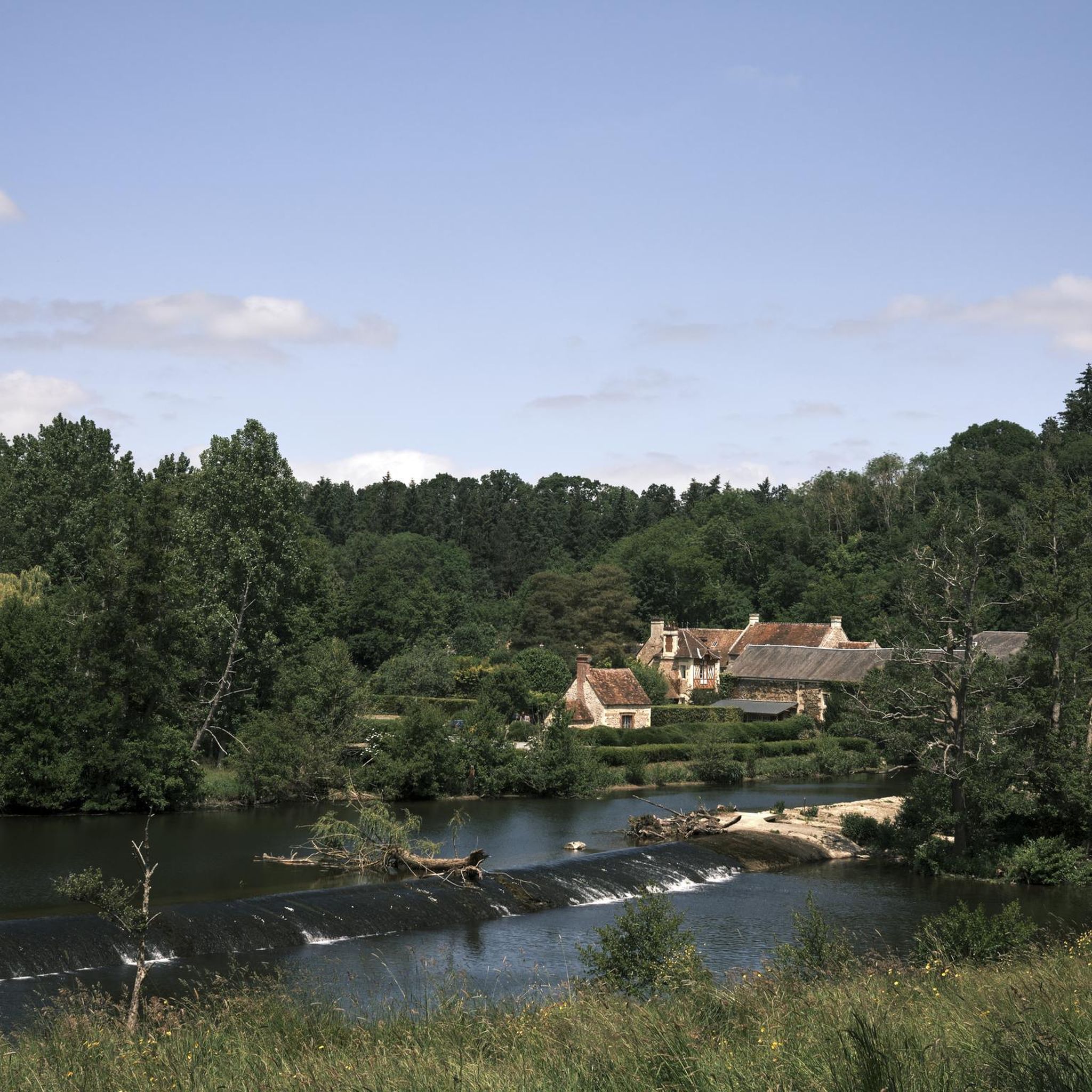
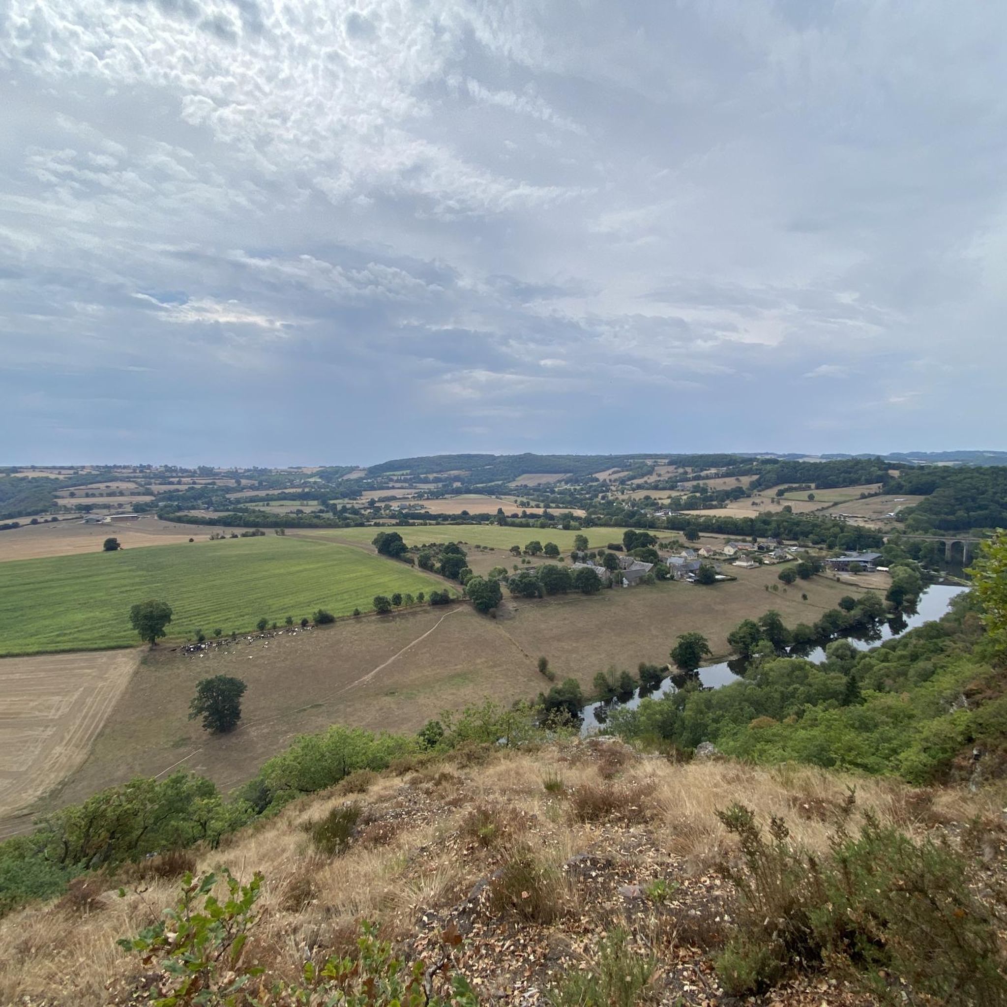
Jogging around Clinchamps-Sur-Orne offers diverse landscapes within the Norman Bocage, characterized by green landscapes and hedgerows. The terrain features varied elevations, ranging from 6 to 98 meters, providing options for different fitness levels. Many running paths lead along the scenic banks of the Orne River and through wooded areas, offering views overlooking the Val de Maizet. The region's name, "Clinchamps," meaning "field(s) on a slope," reflects its inclined topography suitable for physical activity.
Best jogging routes around Clinchamps-Sur-Orne
- The most popular jogging route is Former mine at May-sur-Orne loop from Amayé-sur-Orne, a 5.0 miles (8.0 km) trail that takes 49 minutes to complete. This route offers a blend of nature and history, passing by the remains of an ancient mine along a bikeway.
- Another top favourite among local runners is Running loop from Laize-Clinchamps, a moderate 4.1 miles (6.6 km) path. This route features varied elevations within the green landscapes of the Norman Bocage.
- Local runners also love the Saint-Clair Church loop from Laize-Clinchamps, a 6.4 miles (10.3 km) trail leading through green landscapes and hedgerows, often completed in about 1 hour 4 minutes.
- Jogging around Clinchamps-Sur-Orne is defined by green landscapes, hedgerows, and the Orne River banks. The network offers options for various ability levels, from easy to difficult.
- The routes in Clinchamps-Sur-Orne are highly rated by the komoot community with an average score of 4.3 stars from over 200 reviews. More than 11,000 runners have used komoot to explore Clinchamps-Sur-Orne's varied terrain.
Last updated: July 5, 2026
65
runners
Hard run. Very good fitness required. Mostly paved surfaces. Suitable for all skill levels.
5.0
(1)
15
runners
6.57km
00:42
70m
70m
Moderate run. Good fitness required. Mostly paved surfaces. Suitable for all skill levels.

Sign up for free
7
runners
8.70km
00:54
70m
70m
Moderate run. Good fitness required. Mostly paved surfaces. Suitable for all skill levels.
6
runners
10.3km
01:05
90m
90m
Moderate run. Good fitness required. Mostly paved surfaces. Suitable for all skill levels.
5.0
(1)
8
runners
Easy run. Great for any fitness level. Mostly paved surfaces. Suitable for all skill levels.
Get access to more routes and recommendations from other explorers.
Sign up for free
Already have an account?
Our route recommendations are based on thousands of hikes, rides, and runs completed by other people on komoot.
Start today with a free account
Your next adventure awaits.
Login or Signup


Tips from the Community

Magnificent viewpoint and place to stop near the Orne!
0
0

The Saint-Clair church in Mutrécy is a Romanesque church dating from the 11th century. You can admire the beautiful stone masonry, the sculpted portal and the octagonal bell tower. The church is located in the heart of the village of Mutrécy, surrounded by a cemetery. You can also discover the surrounding countryside, which offers panoramic views of the Normandy landscapes.
2
0


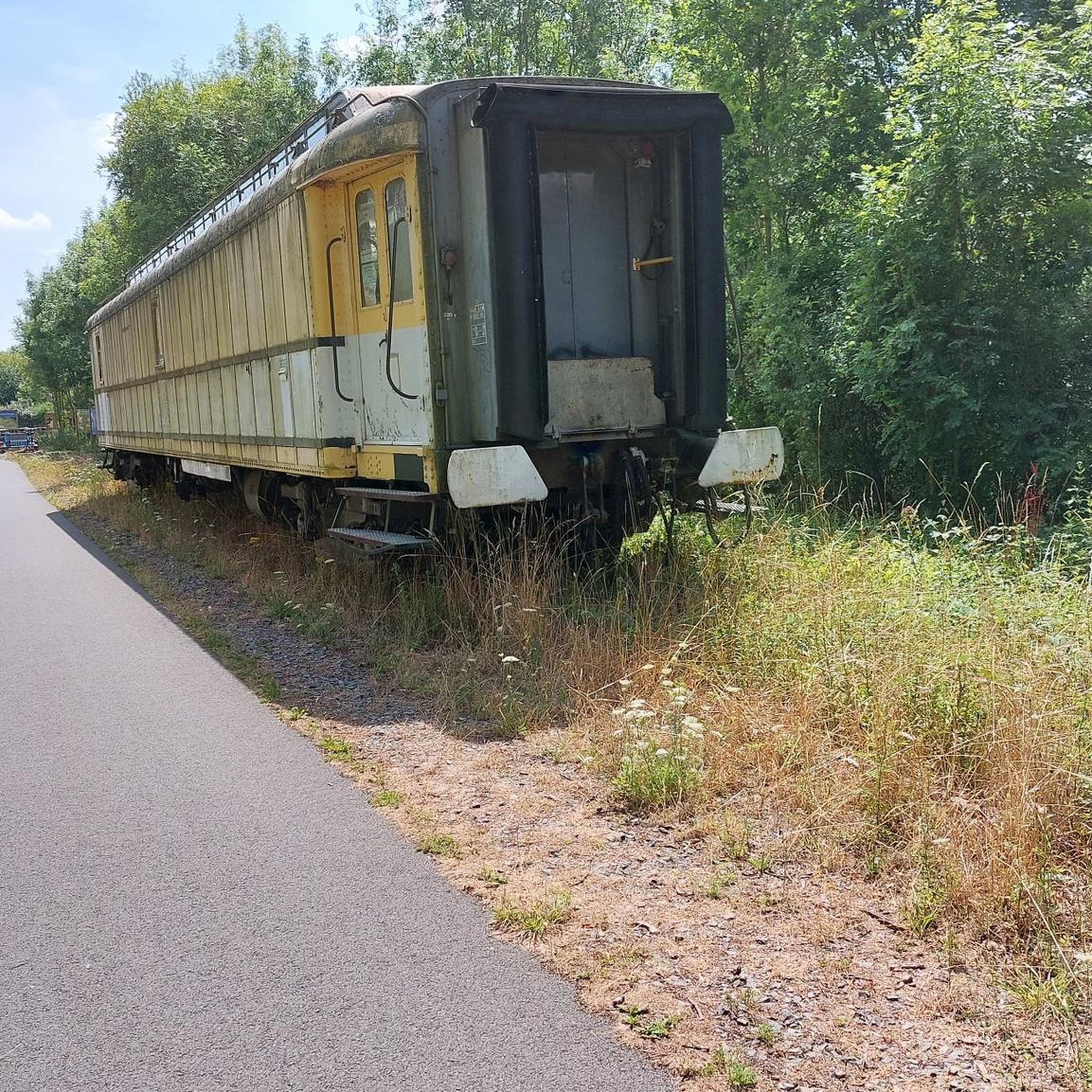
Next to the bikeway "Voie verte" are the remains of the ancient mine of May sur Orne. The extraction was done on the right bank of the Orne river whereas, the shipment by rail took place on the left bank. The emaciated silhouettes of the crusher-accumulators that overlooked the railway tracks are still standing. So is the mining bridge and a storage silo. This site reminds that in the history Normandy, was once one of the main steel regions in France. More info: http://baguenaudes.net/mine-de-may-sur-orne/
2
0
Frequently Asked Questions
How many running routes are available around Clinchamps-Sur-Orne?
There are 13 dedicated running routes around Clinchamps-Sur-Orne listed on komoot. These routes cater to various fitness levels, offering options from easy to difficult.
What kind of terrain can I expect on the jogging trails in Clinchamps-Sur-Orne?
The region, part of the Norman Bocage, features picturesque green landscapes and hedgerows. You can expect varied elevations, as the area ranges from 6 to 98 meters in altitude. Many paths follow the scenic banks of the Orne River and wind through wooded areas, often providing views overlooking the Val de Maizet.
Are there any easy or beginner-friendly running routes?
Yes, among the 13 routes, there is 1 easy route available, making it suitable for beginners or those looking for a less strenuous run. The majority of routes are moderate, but there are options for all levels.
What do other runners say about the trails in Clinchamps-Sur-Orne?
The running routes in Clinchamps-Sur-Orne are highly regarded by the komoot community, with an average rating of 4.3 stars from over 200 reviews. More than 11,000 runners have used komoot to explore the varied terrain, often praising the green landscapes and diverse paths.
Are there any circular running routes in the area?
Yes, many of the routes are loops. For example, the Running loop from Laize-Clinchamps is a moderate 6.6 km path, and the Saint-Clair Church loop from Laize-Clinchamps offers a 10.3 km run through green landscapes and hedgerows.
Can I combine running with exploring historical sites?
Absolutely. The region has a rich history. For instance, the Former mine at May-sur-Orne loop from Amayé-sur-Orne takes you past the remains of an ancient mine along a bikeway. You might also encounter historical elements like the 11th-century Eglise Notre-Dame or the Château de Clinchamps on other trails.
Are there any challenging routes for experienced runners?
Yes, for those seeking a more demanding run, there are 2 difficult routes available. One such option is the Former mine at May-sur-Orne – Banks of the Orne River loop from Laize-Clinchamps, which covers over 16 km with significant elevation changes.
What natural features or landmarks can I see while jogging?
Many routes offer scenic views of the Orne River and the Val de Maizet. You can also explore the unique industrial heritage at the Former mine at May-sur-Orne. The region is characterized by the 'Norman Bocage' with its distinctive hedgerows and wooded areas.
Is Clinchamps-Sur-Orne suitable for family-friendly running or walks?
While specific 'family-friendly' routes are not explicitly detailed, the presence of easy and moderate trails, along with diverse landscapes like the Orne River banks and wooded areas, suggests that many routes could be enjoyed by families. The nearby Alpes Mancelles are also noted for being perfect for family excursions.
Are there options for longer runs, perhaps combining different scenic elements?
Yes, you can find longer routes that combine various features. The Banks of the Orne River – Former mine at May-sur-Orne loop from Laize-Clinchamps is a moderate 11.2 km route that allows you to experience both the riverside scenery and the historical mine site.
How can I get to the jogging routes by public transport?
While specific public transport links directly to trailheads are not detailed, Clinchamps-sur-Orne is part of the new commune of Laize-Clinchamps. Checking local bus services or regional transport options for Laize-Clinchamps would be the best approach to find connections to the general area.
Where can I find parking near the running trails?
Many routes start from villages like Laize-Clinchamps or Amayé-sur-Orne. It is generally advisable to look for public parking areas within these villages, especially near community centers or churches, as specific trailhead parking is not always designated. For routes like the Former mine at May-sur-Orne loop, parking might be available near the former mine site or in the adjacent village.
Most popular routes around Clinchamps-Sur-Orne
Most popular attractions around Clinchamps-Sur-Orne

Get inspired with the komoot mobile app


Explore more
Browse the best Running Trails & Routes in other regions.
