The best walks and hikes around Curis-Au-Mont-D'Or
4.4
(369)
2,381
hikers
29
hikes
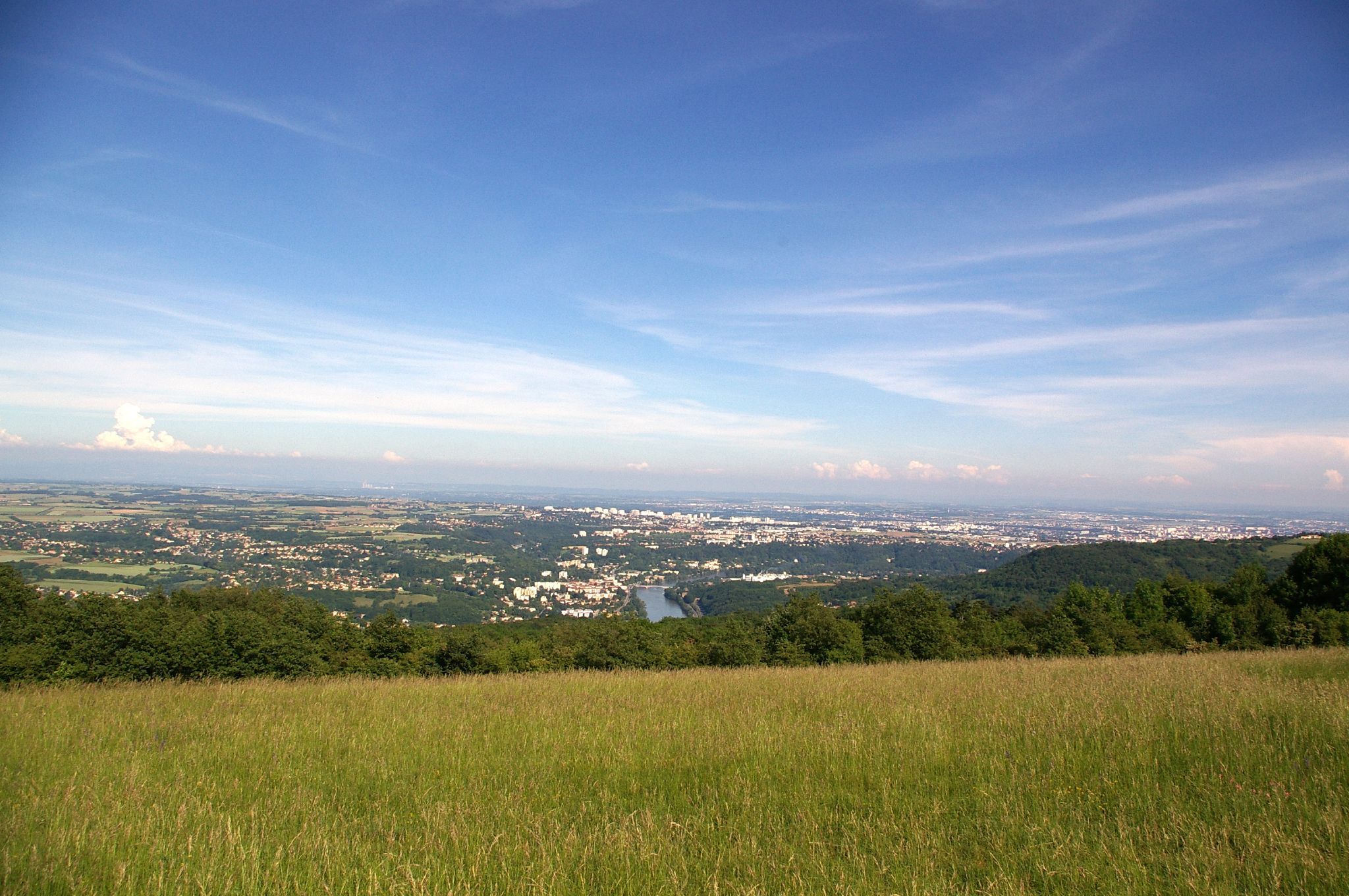
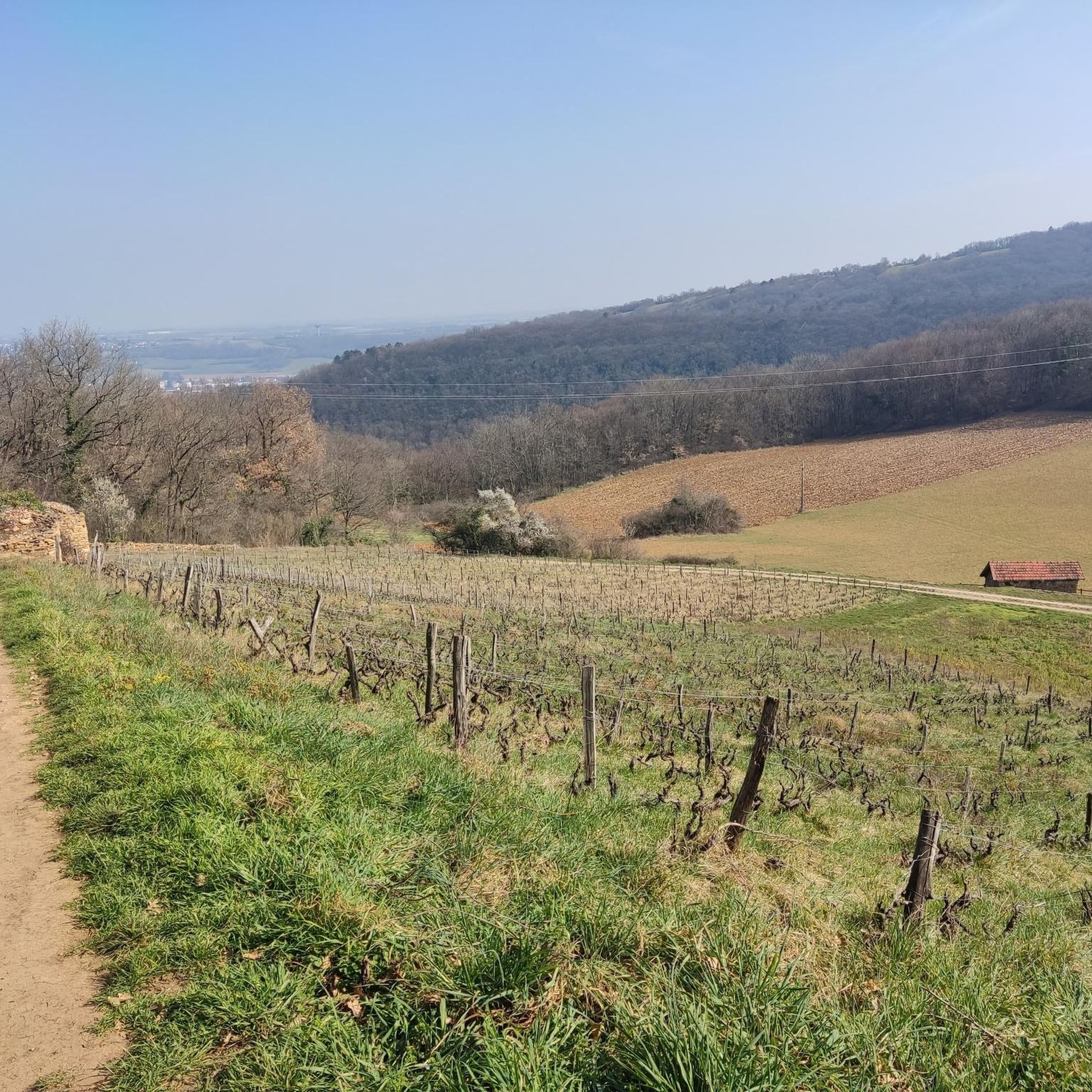
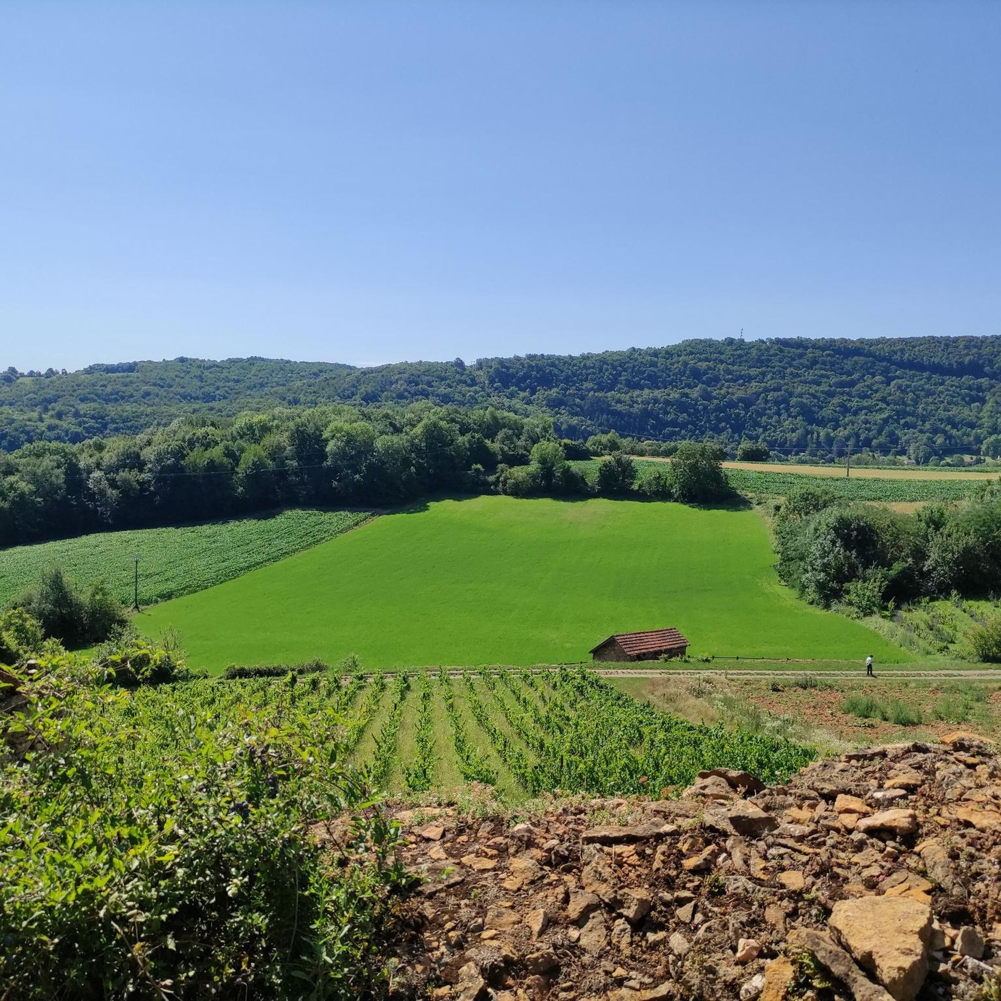
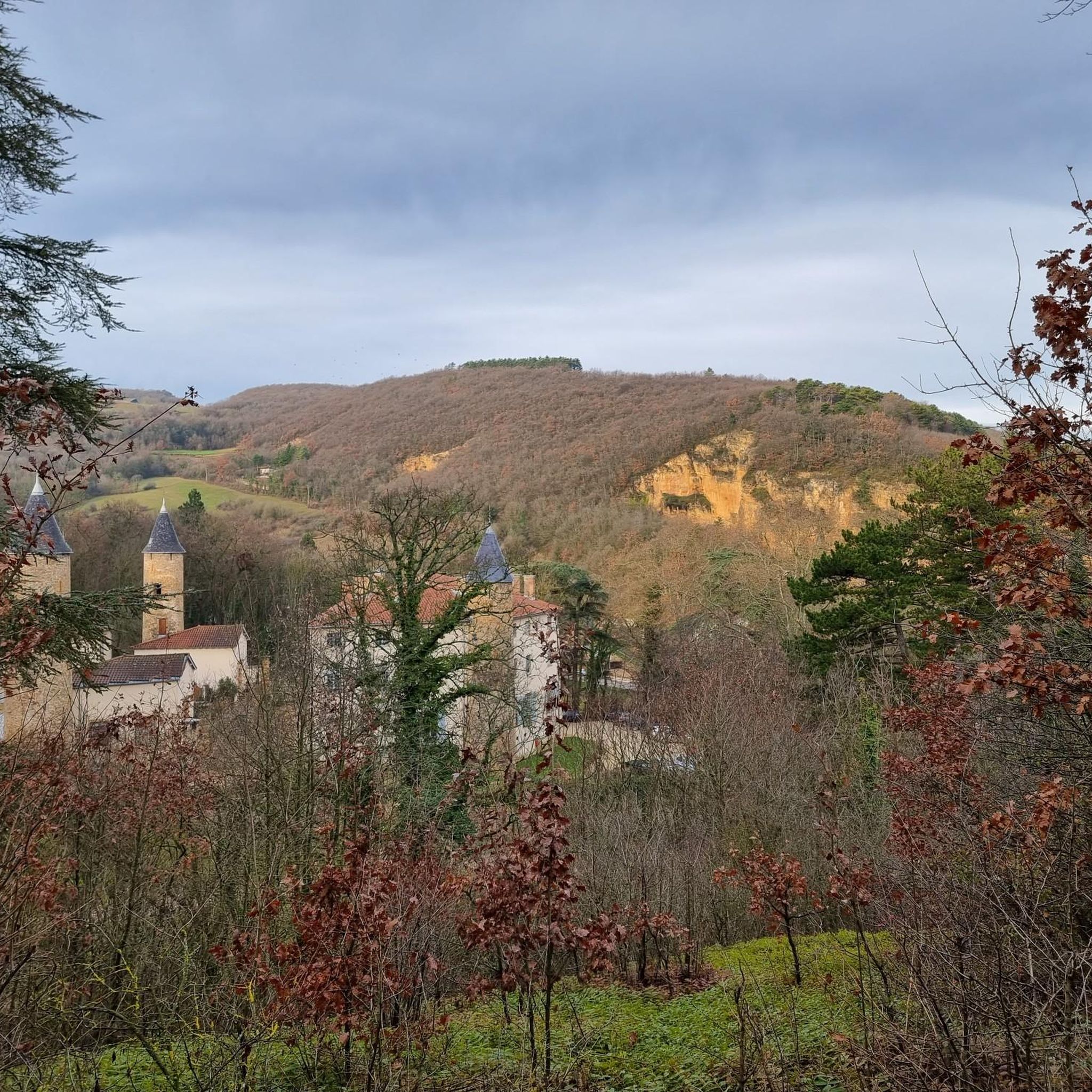
Hiking around Curis-Au-Mont-D'Or offers access to the diverse terrain of the Monts d'Or massif, characterized by hills, forests, and vineyards. The region features the serene banks of the Thou and Saône rivers, providing settings for walks. Elevated points like Mont Thou offer panoramic views across the landscape. Historical quarries also mark the area, adding a unique dimension to the natural scenery.
Best hiking trails around Curis-Au-Mont-D'Or
- The most popular hiking route is Caborne Enterrée – Château de la Trolanderie loop from Albigny - Neuville, a difficult 10.7 miles (17.3 km) trail that takes 5 hours 10 minutes to complete. This route explores the varied terrain of the Monts d'Or massif.
- Another top favourite among local hikers is Croix de Rampau – Ruins in the Bois de la Roche loop from Curis-au-Mont-d'Or, a moderate 7.0 miles (11.3 km) path. This trail leads through wooded areas and offers views of the surrounding landscape.
- Local hikers also love the Mont Thou – La Porte du Pinay loop from Curis-au-Mont-d'Or, a 5.5 miles (8.9 km) trail leading through the hills around Mont Thou, often completed in about 2 hours 47 minutes.
- Hiking around Curis-Au-Mont-D'Or is defined by the Monts d'Or massif, riverbanks, and historical quarries. The network offers options for various ability levels, from easy strolls to more challenging routes.
- The routes in Curis-Au-Mont-D'Or are highly rated by the komoot community with an average score of 4.4 stars from over 300 reviews. More than 2000 hikers have used komoot to explore Curis-Au-Mont-D'Or's varied terrain.
Last updated: June 25, 2026
4.3
(29)
137
hikers
17.3km
05:12
560m
560m
Hard hike. Very good fitness required. Easily-accessible paths. Suitable for all skill levels.
4.4
(18)
44
hikers
Moderate hike. Good fitness required. Easily-accessible paths. Suitable for all skill levels.

Sign up for free
4.5
(21)
98
hikers
8.92km
02:47
360m
360m
Moderate hike. Good fitness required. Easily-accessible paths. Suitable for all skill levels.
5.0
(3)
51
hikers
5.50km
01:40
190m
190m
Easy hike. Great for any fitness level. Easily-accessible paths. Suitable for all skill levels.
5.0
(8)
28
hikers
6.29km
02:03
280m
280m
Moderate hike. Good fitness required. Easily-accessible paths. Suitable for all skill levels.
Get access to more routes and recommendations from other explorers.
Sign up for free
Already have an account?
Our route recommendations are based on thousands of hikes, rides, and runs completed by other people on komoot.
Start today with a free account
Your next adventure awaits.
Login or Signup

Other adventures around Curis-Au-Mont-D'Or

Tips from the Community


I've done it several times and I always enjoy it the same way. Life is wonderful, but it's cold in winter 🥶
1
0

Beautiful view of Beaujolais
0
0


Very nice course
1
0
A must-see in the middle of nowhere
0
0
Frequently Asked Questions
How many hiking trails are available in Curis-Au-Mont-D'Or?
Curis-Au-Mont-D'Or offers a diverse network of over 25 hiking trails. These routes cater to various fitness levels, with 10 easy, 15 moderate, and 1 difficult trail to explore the Monts d'Or massif.
What kind of terrain can I expect on hikes in Curis-Au-Mont-D'Or?
The terrain in Curis-Au-Mont-D'Or is characterized by the varied landscape of the Monts d'Or massif. You'll find a mix of hills, forests, and vineyards, with distinctive golden-colored limestone. Trails can range from serene walks along the Thou and Saône riverbanks to more challenging ascents offering panoramic views from elevated points like Mont Thou.
Are there any family-friendly hiking options in Curis-Au-Mont-D'Or?
Yes, Curis-Au-Mont-D'Or has several easy trails suitable for families. For instance, "The stairs – La Porte du Pinay loop from Curis-au-Mont-d'Or" is an easy 5.5 km route that can be a good option for a leisurely family outing.
What are some notable natural features or landmarks to look out for on the trails?
Hikers can discover a variety of natural and historical features. The region is known for its panoramic views from summits like Mont Thou and Mont Verdun. You might also encounter historical quarries, traditional drystone shelters known as "cabornes," and the dramatic Gorges d'Enfer. Depending on the season, the rich flora includes orchids and wild asparagus.
Can I bring my dog on the hiking trails in Curis-Au-Mont-D'Or?
Generally, dogs are welcome on many hiking trails in the Monts d'Or area, but it's always recommended to keep them on a leash, especially in areas with wildlife or near agricultural land. Always check local signage for specific restrictions or protected areas.
Are there any circular hiking routes in the area?
Yes, many of the trails in Curis-Au-Mont-D'Or are circular, allowing you to start and end at the same point. Examples include the moderate "Croix de Rampau – Ruins in the Bois de la Roche loop from Curis-au-Mont-d'Or" and the more challenging "Caborne Enterrée – Château de la Trolanderie loop from Albigny - Neuville."
What do other hikers say about the trails in Curis-Au-Mont-D'Or?
The hiking routes in Curis-Au-Mont-D'Or are highly rated by the komoot community, with an average score of 4.4 stars from over 300 reviews. Hikers often praise the varied terrain, the beautiful views from elevated points, and the well-maintained paths that lead through forests and vineyards.
Are there any historical sites or castles visible from or near the trails?
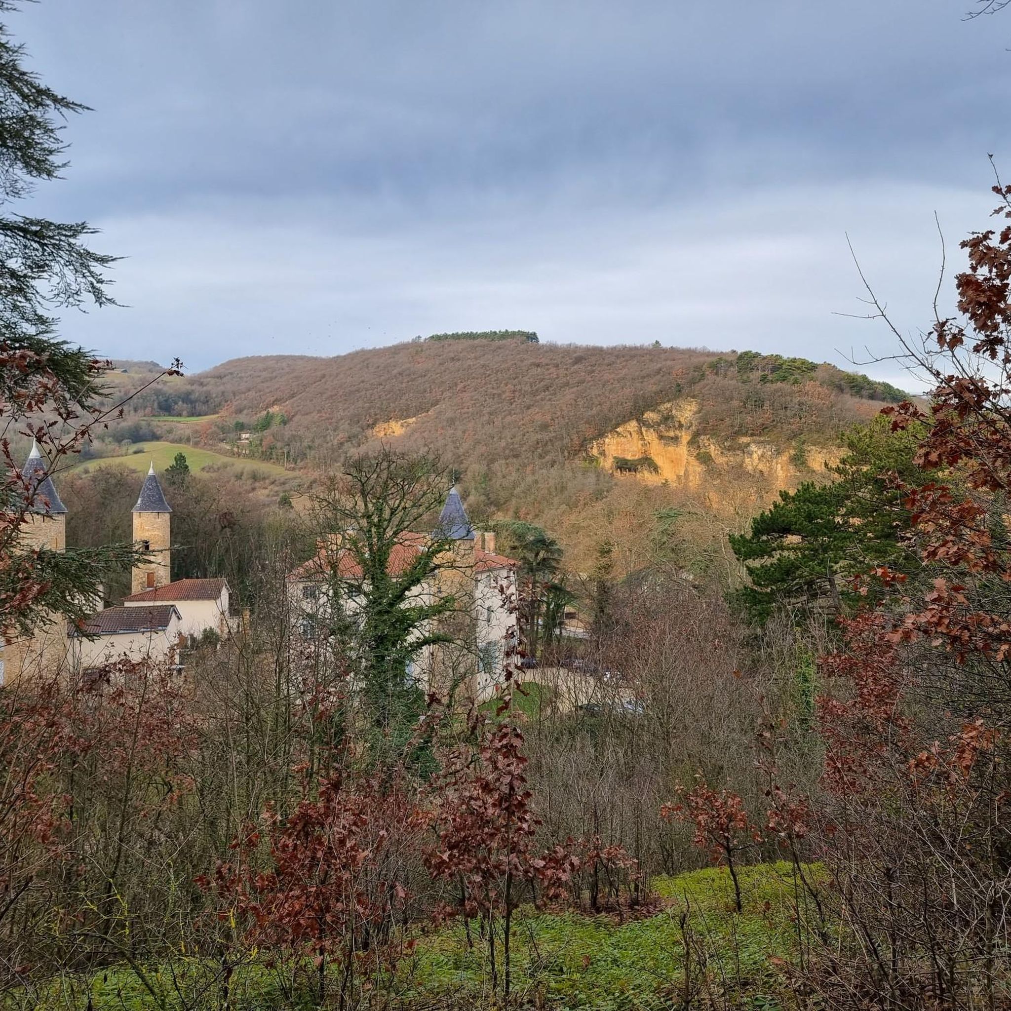
Yes, the region is rich in heritage. Along the trails, you can discover elements like old wash houses and traditional drystone shelters. Nearby, you might find castles such as Rochetaillée-sur-Saône Castle or Fétan Castle. The Château de Curis Park, a 30-hectare estate, also features historical architectural elements and remarkable trees.
What is the best time of year to go hiking in Curis-Au-Mont-D'Or?
Curis-Au-Mont-D'Or offers enjoyable hiking throughout much of the year. Spring brings vibrant flora, while autumn showcases beautiful foliage in the forests and vineyards. Summer is also popular, though it can be warm, making early morning or late afternoon hikes ideal. Winter hiking is possible, but conditions can vary, so check local weather forecasts.
Is public transport available to reach the trailheads?
While Curis-Au-Mont-D'Or is accessible, specific public transport options directly to all trailheads can vary. It's advisable to check local bus schedules or regional transport services from nearby larger towns like Lyon for the most up-to-date information on reaching specific starting points.
Are there opportunities for panoramic views during hikes?
Absolutely. The hilly topography of the Monts d'Or massif provides numerous opportunities for breathtaking panoramic views. Elevated points such as Mont Thou and Mont Verdun are renowned for offering expansive vistas across the landscape.
What is the difficulty level of the hikes in Curis-Au-Mont-D'Or?
The hikes in Curis-Au-Mont-D'Or range from easy strolls to more challenging routes. You'll find 10 easy trails, 15 moderate trails, and 1 difficult trail, ensuring options for various experience levels. For example, "Mont Thou – La Porte du Pinay loop from Curis-au-Mont-d'Or" is a moderate option, while "Caborne Enterrée – Château de la Trolanderie loop from Albigny - Neuville" is considered difficult.
Most popular routes around Curis-Au-Mont-D'Or
Most popular attractions around Curis-Au-Mont-D'Or

Get inspired with the komoot mobile app


Explore more
Browse the best Hikes in other regions.
