Attractions and Places To See around Montouliers - Top 20
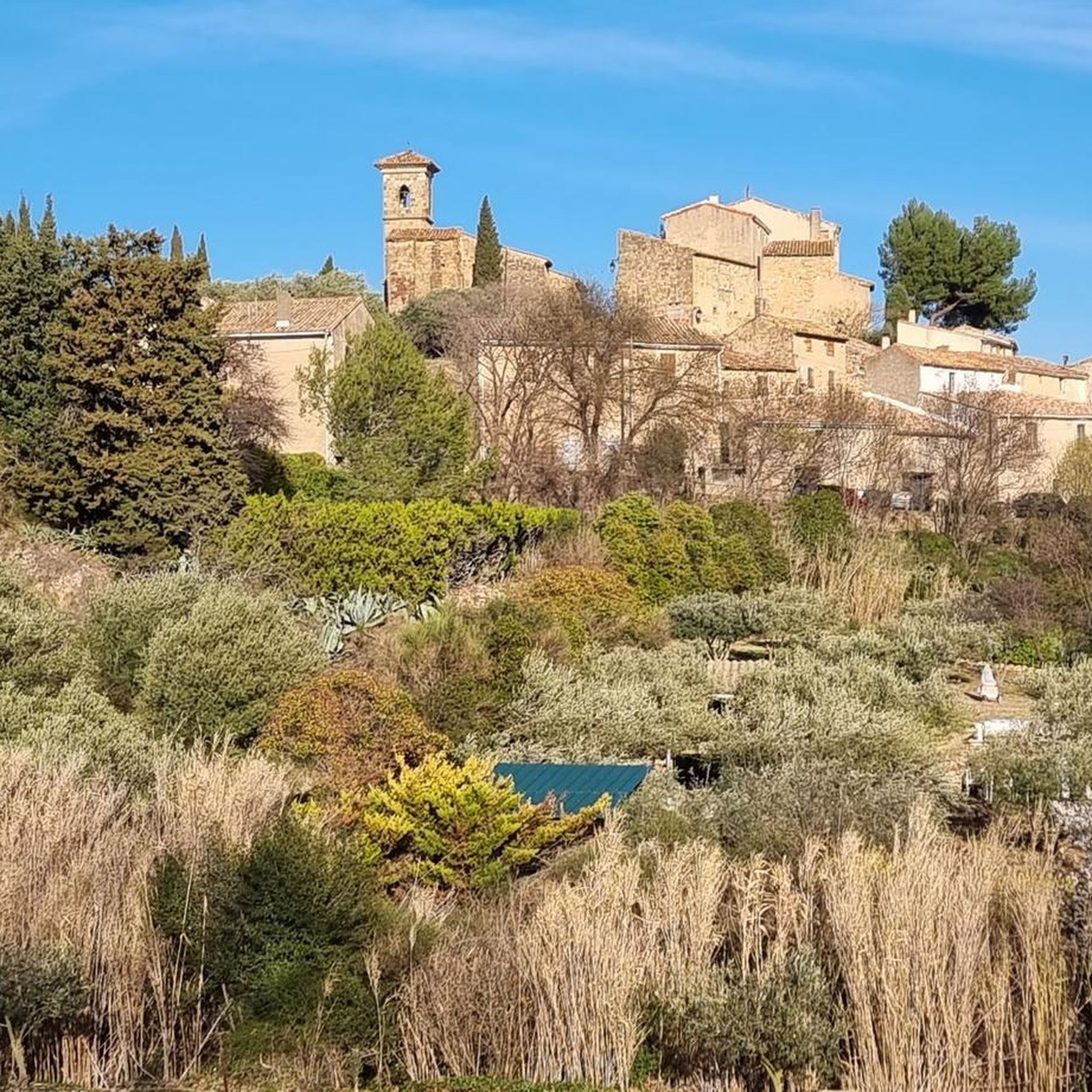
Best attractions and places to see around Montouliers, a village in the Hérault department of Occitanie, France, is characterized by its historical allure and natural beauty. Situated amidst vineyards, olive groves, and rolling hills, it serves as a gateway to the Minervois wine region. The area offers a blend of historical landmarks, scenic landscapes, and cultural experiences. Visitors can explore ancient streets, Romanesque architecture, and the distinctive red earth of the region.
Best attractions and places to see around Montouliers
…Last updated: July 7, 2026
The Port of Somail
Highlight • Settlement
Translated by Google •
Tip by

Junction of the Canal du Midi and the Canal de la Robine
Highlight • Other
Translated by Google •
Tip by

Sign up now to discover places like this
Get recommendations on the best single tracks, peaks, & plenty of other exciting outdoor places.
Sign up for free
Gailhousty Lock and Spillway
Highlight • Monument
Translated by Google •
Tip by

Canal de Jonction
Highlight • River
Translated by Google •
Tip by
Marie Close fashion show
Highlight • Gorge
Translated by Google •
Tip by

Sign up for free to discover even more attractions around Montouliers.
Sign up for free
Already have an account?
Start today with a free account
Your next adventure awaits.
Login or Signup

Tips from the Community

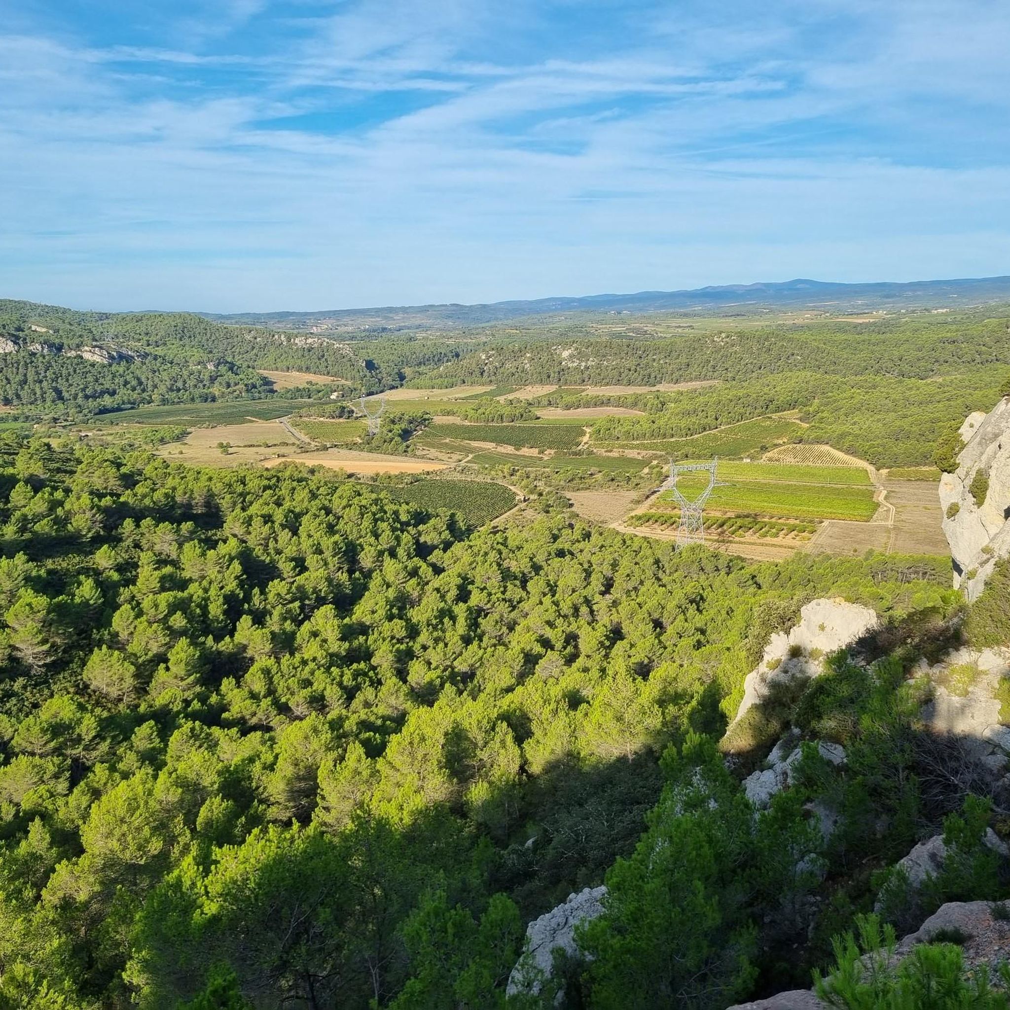
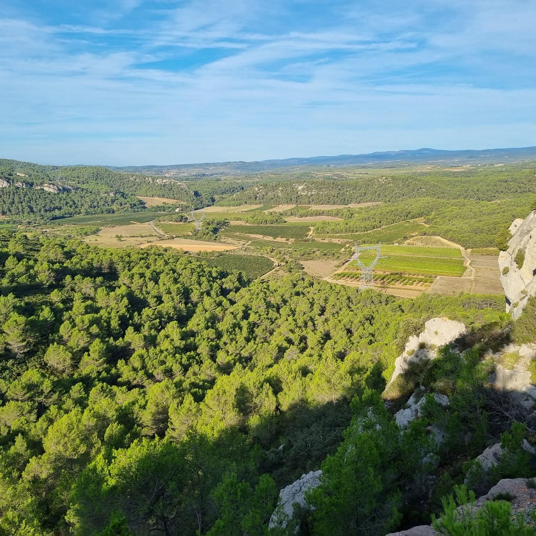
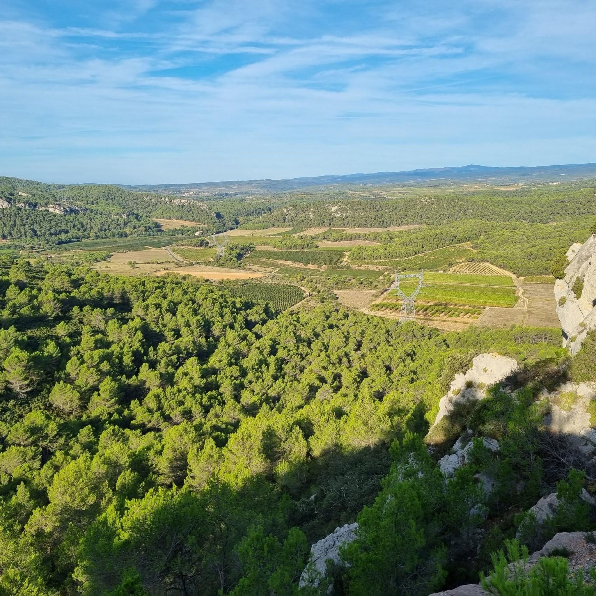
Several walking options are available. Either an out-and-back on the paved road starting from Cruzy (7.4km, 130m elevation gain), or a loop that turns towards Villespassans without actually reaching it, skirting around L'Estagnol and descending to the right to the Chapel of Sainte Foi (10km, 210m elevation gain). A small correction regarding the incorrect names: The first gorge at Roquefourcade (the village spring) is called Marie-Coquette, the ruined building after the small Chapel of Sainte Foi is called the Sainte Foi Sheepfold, and the second gorge that climbs towards Les Gyssières (Platières) is called Marie-Close. This walk is especially recommended after the spring rains when there is water in the Nazoure River and waterfalls at Marie-Close.
0
0

The section posted for this Highlight is in the town of Sallèles-d'Aude so you have a lot of people walking in this section. Dog walkers with dogs not on leads, families taking the whole path etc., so whilst it is pretty in can be annoying when biking, This was in the last days of Oct. '25 so I think in summer it would be almost impassable at times. The other way towards the Gailhousty Lock and eventually Narbonne is much quieter if you want to ride unhindered by walkers & dogs, especially if you take the wide gravel track on the other side of the canal from the Vioe Verte.
0
0


Pretty canal, shaded, bucolic. Don't miss the Gailhousty site, at the downstream outlet of the Jonction canal on the Aude river. This canal, put into operation in 1787, connects the Canal du Midi and the Robine de Narbonne canal. The Gailhousty site consists of a lock, a spillway, a bridge and a dry dock. Upstream of the lock, the canal is protected from the floods of the Aude thanks to a system of dikes that surround it up to Sallèles-d'Aude. Downstream of the lock is a space designed to be able to be submerged during heavy floods: the spillway. The bridge is designed to provide rapid access to all points of the site, is of neat architecture, with a low arched vault and four quarter-circle staircases placed at each corner. During floods, it is necessary to be able to react quickly and to manoeuvre the defence systems in time. Placed on the downstream head of the lock, it participates in the system of containing the strongest floods. The monumental spillway, 30 metres long, is located on the left bank of the canal between the Gailhousty lock and the Aude. Its front façade on the canal side is pierced with vertical crenellations that plunge into the water. At the back, it has 5 arched openings at the foot of which launches an 8km long landing channel called "La saignée" directed towards the Capestang pond. This building houses no fewer than 15 oversized valves. It is not intended to evacuate excess water from the Jonction canal but must allow the passage of flood water from the Aude river. Originally, it was planned that these waters loaded with fertile silt would be directed into the Capestang pond to fill it and promote crops there.
0
0
Superb site, at the downstream outlet of the Jonction canal on the Aude river. This canal, put into operation in 1787, allows to make the connection between the Canal du Midi and the Canal de la Robine de Narbonne. The Gailhousty site consists of a lock, a spillway, a bridge and a dry dock. Upstream of the lock, the canal is protected from the floods of the Aude thanks to a system of dikes which surround it up to Sallèles-d'Aude. Downstream of the lock is a space designed to be able to be submerged during heavy floods: the spillway. The bridge is designed to allow rapid access to all points of the site, is of a neat architecture, with a low arched vault and four quarter-circle staircases placed at each corner. In times of flood, it is necessary to be able to react quickly and maneuver the defense systems in time. Placed on the downstream head of the lock, it participates in the system of containing the strongest floods. The monumental spillway, 30 meters long, is located on the left bank of the canal between the Gailhousty lock and the Aude. Its front facade on the canal side is pierced with vertical crenellations that plunge into the water. At the back, it has 5 arched openings at the foot of which launches an 8km long landing channel called "La saignée" directed towards the Capestang pond. This building houses no less than 15 oversized valves. It is not intended to evacuate excess water from the Jonction canal but must allow the passage of flood water from the Aude river. Originally, it was planned that this water loaded with fertile silt would be directed into the Capestang pond to fill it and promote crops there.
0
0
Very pretty canal, less known than the Canal du Midi, shaded. Do not miss the Gailhousty site, at the downstream outlet of the Canal de Jonction on the Aude river. This canal, put into operation in 1787, allows to make the connection between the Canal du Midi and the Canal de la Robine de Narbonne. The Gailhousty site consists of a lock, a spillway, a bridge and a dry dock. Upstream of the lock, the canal is protected from the floods of the Aude thanks to a system of dikes which surround it up to Sallèles-d'Aude. Downstream of the lock is a space designed to be able to be submerged during heavy floods: the spillway. The bridge is designed to provide rapid access to all points of the site, is of neat architecture, with a low arched vault and four quarter-circle staircases placed at each corner. During floods, it is necessary to be able to react quickly and maneuver the defense systems in time. Placed on the downstream head of the lock, it participates in the system of containing the strongest floods. The monumental spillway, 30 meters long, is located on the left bank of the canal between the Gailhousty lock and the Aude. Its front facade on the canal side is pierced with vertical crenellations that plunge into the water. At the rear, it has 5 arched openings at the foot of which launches an 8km long landing channel called "La Saignée" directed towards the Capestang pond. This building houses no less than 15 oversized valves. It is not intended to evacuate excess water from the Jonction canal but must allow the passage of flood water from the Aude river. Originally, it was planned that this water loaded with fertile silt would be directed into the Capestang pond to fill it and promote crops there.
0
0
It is one of the most emblematic places on the canal: its buildings, its chapel, its inn, its humpback bridge, its stores, bear witness to the activity of the time around the canal. Once the work on the canal was finished, an administration was set up to manage navigation on the canal. Seven divisions were created along the canal. The Somail division covered 45 km. A passenger transport service was also set up, the stop at the Somail inn corresponded to the third day of navigation from Toulouse. The building even had a dungeon...
1
0

A very nice little place with lots of tourists, boats and cyclists. A typical stopover for many.
0
0
Frequently Asked Questions
What historical sites can I explore within Montouliers village?
Within Montouliers, you can wander through the narrow, winding streets known as the Calades, which are cobbled steps leading to the historic church and the remnants of an ancient castle. Don't miss the historically significant Roman Fountain and the serene 12th-Century Church (Church of Saint-Etienne), a testament to the village's medieval past.
What natural landscapes can I discover around Montouliers?
Montouliers is surrounded by the scenic beauty of the Minervois region, featuring vast vineyards, olive groves, and rolling hills. The distinctive scrubland and red earth characterize the local environment. For more extensive natural exploration, nearby options include Lake Jouarres, the intriguing Grotte de la Devèze, the tranquil Forêt de Fontfroide, the unique Gouffre de l'Œil Doux, and the expansive Narbonnaise en Méditerranée Natural Regional Park.
Are there family-friendly activities available near Montouliers?
Yes, several attractions are suitable for families. You can enjoy pony rides within Montouliers. The nearby Port of Somail and the Junction of the Canal du Midi and the Canal de la Robine are both listed as family-friendly, offering picturesque settings for leisurely walks and boat rides along the UNESCO-listed Canal du Midi. The Gailhousty Lock and Spillway is also a fascinating site for all ages.
Where can I experience the local wine culture and tastings?
Montouliers is situated in the heart of the renowned Minervois Wine Region. The village itself is home to a local winery where visitors can enjoy wine tastings. The broader region offers numerous vineyards and wineries, providing diverse tasting and tour opportunities, celebrated for its range of red and white wines.
What historical and cultural attractions are located a short drive from Montouliers?
Beyond Montouliers, you can visit the UNESCO World Heritage site of the Canal du Midi, including the picturesque Port of Somail and the impressive Junction of the Canal du Midi and the Canal de la Robine. Other notable sites include the Abbey of Sainte Marie (11th Century), the Archaeological Museum in Quarante, the historic Wind Turbine Bollée, the medieval town of Minerve, and the ancient Oppidum of Ensérune. Further afield, the fortified city of Carcassonne and the historic city of Narbonne with its famous covered market are excellent day trip options.
Are there hiking opportunities around Montouliers?
Yes, the area around Montouliers offers numerous hiking trails through vineyards, olive groves, and scrubland. You can find detailed routes, including options like the 'Défilé de Marie-Coquette loop from Cruzy' or 'In the maquis loop from Bize-Minervois', by exploring the dedicated Hiking around Montouliers guide.
Can I go cycling near Montouliers?
Absolutely. The region is excellent for cycling, with trails winding through the scenic Minervois landscape and along the Canal du Midi. You can find various routes, from easy to difficult, such as 'The Canal du Midi – Canal du Midi Capestang loop from Cruzy' or 'The Port of Somail – Le Somail loop from Bize-Minervois'. For more options, consult the Cycling around Montouliers guide or the Road Cycling Routes around Montouliers guide.
What do visitors particularly enjoy about the attractions near Montouliers?
Visitors frequently praise the picturesque settings and historical significance of the area. The Port of Somail is often highlighted for its charm, having inspired many painters. The impressive engineering of the Junction of the Canal du Midi and the Canal de la Robine and the Gailhousty Lock and Spillway are also popular, with many appreciating the well-maintained bike paths along the canals. The scenic views, such as the View over Paraza, are also highly regarded.
Are there any local markets to visit near Montouliers?
Yes, you can discover regional produce and crafts at various local markets in nearby towns. Popular market towns include Saint-Chinian, Capestang, Olonzac, and Narbonne, offering a taste of local life and specialties.
Where can I find panoramic views or viewpoints in the area?
For breathtaking panoramic views, consider visiting the Oppidum of Ensérune, an ancient archaeological site perched on a hill that offers unique vistas. Additionally, the View over Paraza provides a superb outlook over the town and the Minervois region.
What is the Canal de Jonction and its significance?
The Canal de Jonction is an approximately 5 km long canal that connects the Canal de la Robine with the Canal du Midi. It's a crucial link that allows for a direct waterway connection from the Canal du Midi to the Mediterranean Sea. It's also a very pleasant route for cycling, often shaded by pine trees.
Most popular routes around Montouliers

Get inspired with the komoot mobile app


Explore more
Still not found the Highlight you’re looking for? See guides of the top attractions in other regions:
