The best road cycling routes around Coulobres
4.3
(136)
2,823
riders
168
rides
Road cycling routes around Coulobres traverse the Hérault department, characterized by expansive vineyards, rolling hills, and varied terrain including schist cliffs and garrigue. The region offers a blend of picturesque landscapes and historical features, with moderate elevation changes suitable for road cycling. The local road network provides opportunities for exploration through a landscape that is generally flat in some areas, with distant views.
Best road cycling routes around Coulobres
- The most popular road cycling route is Pouzolles – Olivettes Dam…
Last updated: October 27, 2026
5.0
(2)
50
riders
52.0km
02:24
550m
550m
Moderate road ride. Good fitness required. Mostly well-paved surfaces and easy to ride.
3.5
(11)
38
riders
52.9km
02:31
720m
720m
Moderate road ride. Good fitness required. Mostly well-paved surfaces and easy to ride.

27
riders
76.0km
03:41
1,060m
1,060m
Hard road ride. Very good fitness required. Mostly well-paved surfaces and easy to ride.
22
riders
53.2km
02:30
640m
640m
Moderate road ride. Good fitness required. Mostly well-paved surfaces and easy to ride.
14
riders
41.2km
01:52
380m
380m
Moderate road ride. Good fitness required. Mostly well-paved surfaces and easy to ride.
Get access to more routes and recommendations from other explorers.
Already have an account?
Our route recommendations are based on thousands of hikes, rides, and runs completed by other people on komoot.
Start today with a free account
Your next adventure awaits.


Tips from the Community

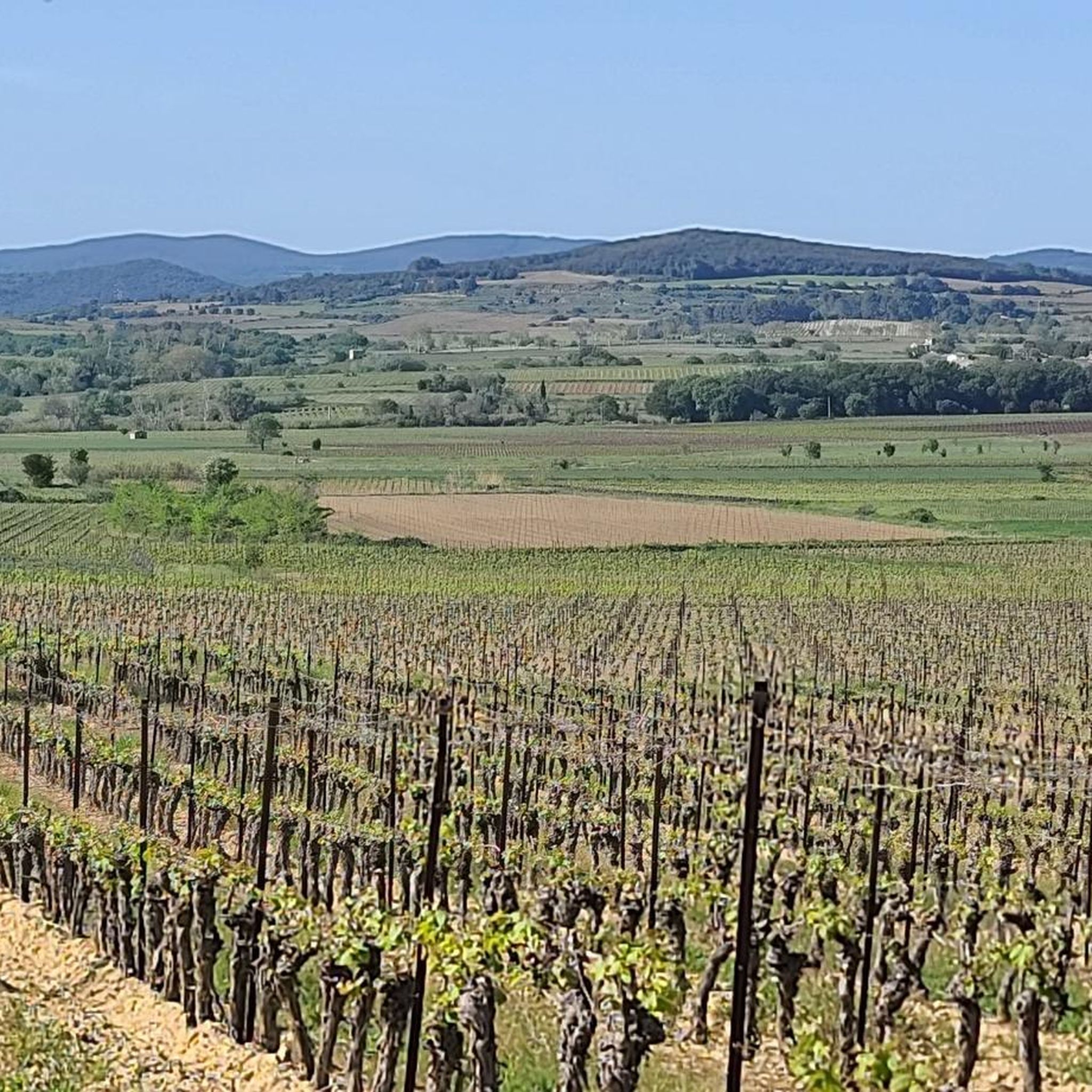
From the heights of Puech Haut, the panorama unfolds over two slopes. To the north, a perspective on the characteristic reliefs of Cabrières: in the center stands the Pic de Vissou (480 m), with the Liausson mountain (535 m) in the background; to the right stretches the Soureillé d'Izarne ridge. To the south, the view opens wide onto the vineyard plain that extends beyond Neffiès.
3
0
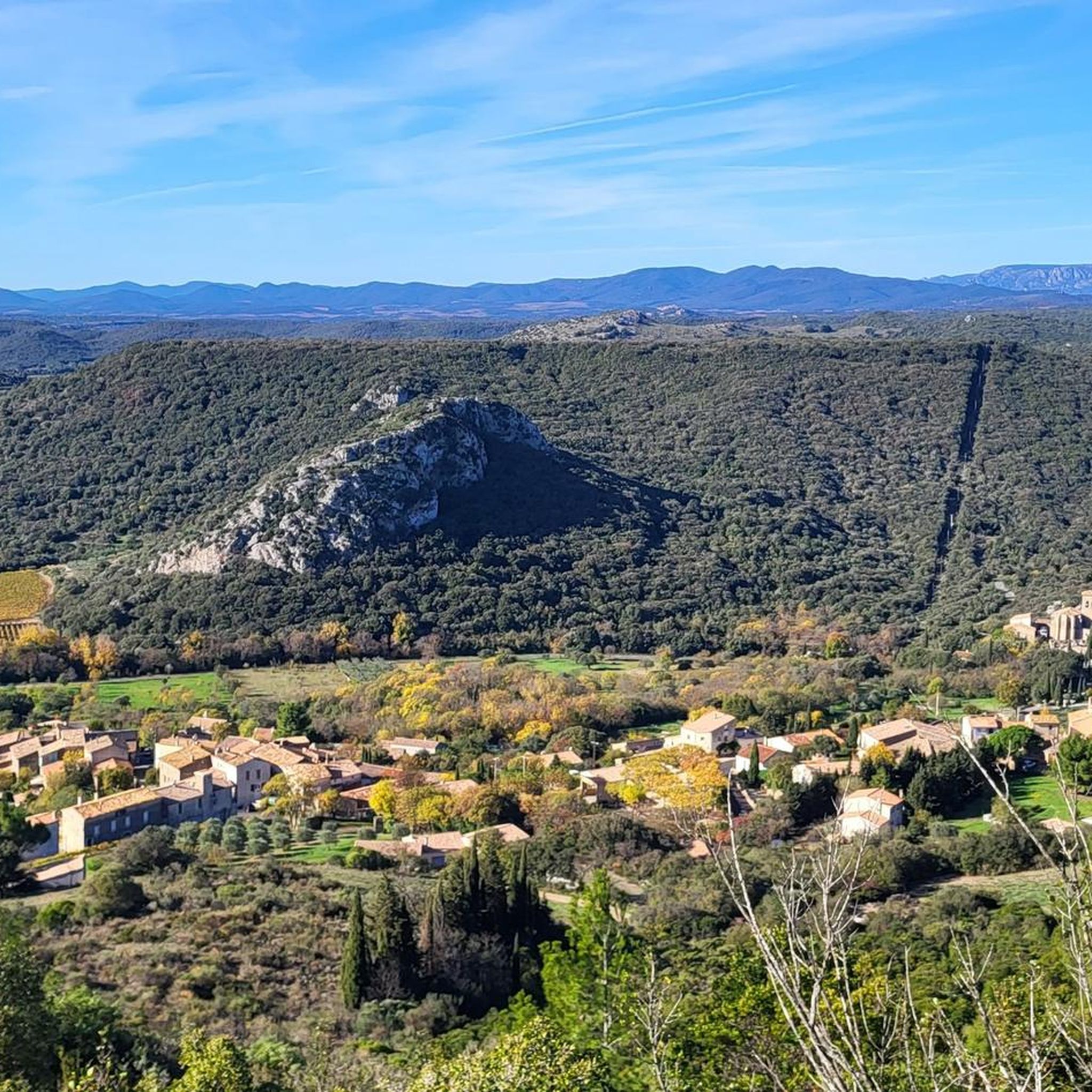
The castle overlooks Pézènes-les-Mines from the upper part of the village. This castle is private, but its facades, roofs, and enclosure have been protected as historical monuments since 1981. Its history is ancient, but the ensemble we see today is the result of several construction and transformation campaigns. The Romanesque chapel, integrated into the castle, dates back to the 12th century. Its apse was later raised in the 14th century to take on a defensive function. The castle itself underwent significant alterations in the 14th, 16th, and 17th centuries. Two gates were notably built into the enclosure in the 17th century. The defensive elements are still very legible: two gates with arrow slits controlled access to the courtyard and were once protected by a drawbridge. Two towers flank the ensemble, while the enclosure follows the natural irregularities of the terrain. The chapel also retains a rather remarkable detail: its door and some of its bays are decorated with basalt inlays, giving the building a discreet but original polychromy. Pézènes-les-Mines was not always the small village one might imagine today. Pézènes was the capital of a marquisate that grouped the communities of Pézènes, Montesquieu, and Valmascle. The castle was therefore at the heart of a larger seigneurial territory. Little-known information: A plan from 1800 shows that behind the castle stretched a long terrace of about 270 meters, arranged as a garden, promenade, and belvedere overlooking the Peyne valley.
3
0
It is difficult to imagine that the heart of the village was here nearly a thousand years ago. From the 11th century onwards, the Castellas formed the nucleus of the Abeilhan castrum, around which the fortified village developed. The church of Notre-Dame-de-Pitié is part of this history: it gradually replaced the old parish church of Saint-Pierre, located outside the ramparts, as the inhabitants grouped together under the protection of the fortifications. The latter still exists: transformed into a chapel, it can be discovered about 700 meters north-east of the old centre, amidst the vineyards. The Castellas has, however, almost entirely disappeared. At the end of the 19th century, its last vestiges were demolished to make way for the impressive construction you see today... a drinking water reservoir. Few visitors imagine that this imposing building actually hides a hydraulic infrastructure. In 1923, the war memorial was added to it in an elegant architectural composition with a double staircase, giving the ensemble its current appearance. A final curiosity: despite its name, Abeilhan has no connection with bees. The toponym most likely derives from the Gallo-Roman estate of a landowner named Apilius (Apilianum), recalling that this promontory was already occupied several centuries before the birth of the medieval village.
2
0
In the heart of old Cabrerolles, the Saint-Martin church recalls the medieval origins of this village in the Hérault's Avant-Monts. As in many fortified villages in Languedoc, the castle and the church formed the heart of the community. It was around these two poles that the narrow streets, dwellings, and daily life of the village developed. The building discovered today is the result of several construction campaigns and preserves the memory of this long evolution. Its dedication to Saint Martin is far from insignificant. Bishop of Tours in the 4th century, he was one of the great evangelizers of the Gallic countryside. His patronage, widespread in the oldest rural parishes, recalls the antiquity of the Christian community established in Cabrerolles.
2
0
Located at the entrance to the village, it occupies a site steeped in memory: the current building, dating from the 16th century, was built on the traces of a Romanesque chapel mentioned as early as 966. It thus bears witness to the continuity of a place of life and gathering that has spanned the centuries. Caussiniojouls developed around its ancient castrum, a fortified nucleus organized around the castle and the church. Here, the religious and the seigneurial once formed the heart of the medieval village: two essential landmarks that structured daily life and the organization of the territory. The Saint-Étienne church also bears the marks of time: its bell tower, destroyed by lightning in 1920, was rebuilt and then restored with local materials, recalling the village's attachment to its heritage.
2
0
Built at the end of the 12th century and integrated into the ramparts of Gabian, the church of Saint-Julien-et-Sainte-Basilisse forms the historic heart of the village. It still retains its original Romanesque nave and apse, while the side chapels and bell tower, added in the 15th century, bear witness to its evolution over time. The site is however much older: Gabian owes its name to a Gallo-Roman estate belonging to Gavius. The Romans diverted the spring of La Resclauze to supply Béziers via an aqueduct nearly twenty kilometers long, proof of the site's importance since Antiquity. This spring is also the origin of an exceptional geological curiosity: the presence of natural petroleum, exploited since Roman times for medicinal purposes and for caulking, and then from 1924 by the Société des Pétroles de Gabian. Industrial activity ceased when the small deposit could no longer compete with the large oil fields discovered in the mid-20th century.
3
0
The castle and the church have formed the historic heart of Pouzolles since the Middle Ages. The castle is attested as early as the 12th century as the possession of the lords of Pouzolles, before passing into the hands of several noble families over the centuries. Alongside it, a castle chapel was built in the 15th century to serve the castle and its inhabitants. In 1556, a plague epidemic forced the inhabitants of the neighboring hamlet of Saint-Martin de Grézan to take refuge around the fortress. The chapel then became the parish church, and the village developed under the shelter of the fortifications.
3
0
This southern Gothic church, built between the 13th and 14th centuries, has accompanied the village's history for over seven hundred years. Its sober architecture hides numerous transformations: the different construction phases remain visible on the facades, while its imposing bell tower, remodeled in the 17th century and then restored in the 1950s, is distinguished by its green glazed spire, which has become one of the village's emblems. As you leave the churchyard, take the time to discover the old alleyways and the Fontaine à la Grenouille (Frog Fountain), whose spring is said to have favored the birth of Saint-Geniès-de-Fontedit.
2
0
Frequently Asked Questions
What kind of terrain can I expect when road cycling around Coulobres?
Road cycling routes around Coulobres traverse the Hérault department, characterized by expansive vineyards, rolling hills, and varied terrain including schist cliffs and garrigue. The region offers a blend of picturesque landscapes with moderate elevation changes, making it suitable for road cycling. Some local roads, like the one from La Médailhe to Rec d'Oulette, even feature sublime vineyards with minimal traffic, though some sections might include gravel.
How many road cycling routes are available in the Coulobres area?
There are nearly 200 road cycling routes available around Coulobres on komoot. These routes cater to various skill levels, with 36 easy, 106 moderate, and 47 difficult options, ensuring there's a ride for every cyclist.
Are there any challenging road cycling routes for experienced riders?
Yes, for experienced riders seeking a challenge, Coulobres offers 47 difficult road cycling routes. These routes often feature more significant elevation gains and longer distances, providing a rewarding experience through the region's varied landscapes of vineyards and hills.
What are some scenic viewpoints or landmarks I can see along the road cycling routes?
Coulobres offers several scenic viewpoints and historical landmarks. You can enjoy panoramic views from the Belvédère de la Croix de Guiraudou, which offers a vantage point over the flat and distant local landscape. Historical sites include the Sainte-Eulalie Church of Montblanc, with its Romanesque nave and 35-meter watchtower, and the Chateau de Cassan. Many routes also wind through picturesque vineyards.
Are there any circular road cycling routes around Coulobres?
Yes, many of the road cycling routes around Coulobres are designed as loops. For example, the Pouzolles – Olivettes Dam loop from Pouzolles is a popular moderate route, and the Olivettes Dam – Lac de Vailhan loop from Pouzolles offers a scenic ride around water bodies.
What do other road cyclists say about the routes in Coulobres?
The road cycling routes in Coulobres are highly rated by the komoot community, with an average score of 4.3 stars from over 100 reviews. More than 2,700 road cyclists have used komoot to explore the varied terrain, often praising the picturesque vineyards, rolling hills, and the blend of natural beauty with historical sites.
Are there road cycling routes that pass through vineyards?
Absolutely. The region around Coulobres is famous for its expansive vineyards, and many road cycling routes are specifically designed to wind through them. For instance, the Château de Pézènes – Faugères loop from Pouzolles takes you through beautiful vineyard landscapes and past historical sites.
What is the best time of year for road cycling in Coulobres?
While specific weather data isn't provided, the Hérault department generally enjoys a Mediterranean climate. Spring and autumn typically offer pleasant temperatures and less extreme weather, making them ideal for road cycling. Summers can be hot, so early morning or late afternoon rides might be preferable, while winters are generally mild but can be cooler and wetter.
Are there any routes suitable for beginners or those looking for an easy ride?
Yes, Coulobres offers 36 easy road cycling routes, perfect for beginners or those seeking a more relaxed ride. These routes typically have less elevation gain and shorter distances, allowing you to enjoy the scenery without excessive effort.
Can I find road cycling routes that include water features like dams or lakes?
Yes, several routes incorporate water features. The Pouzolles – Olivettes Dam loop from Pouzolles offers scenic views around the Olivettes Dam, and the Olivettes Dam – Lac de Vailhan loop from Pouzolles leads through a landscape featuring both the Olivettes Dam and Lac de Vailhan.
Are there any long-distance road cycling routes in the Coulobres area?
Yes, Coulobres offers several longer road cycling routes for those looking to cover more distance. For example, the Olivettes Dam – Château de Pézènes loop from Pouzolles is a moderate route spanning over 54 kilometers, providing a substantial ride through the region.
Most popular attractions around Coulobres

Get inspired with the komoot mobile app


Explore more
Browse the best Road cycling routes in other regions.
