The best running trails around Gorniès
4.4
(92)
2,230
runners
144
runs
Jogging around Gorniès offers a diverse landscape characterized by rugged peaks, limestone formations, and dense woodlands. The region features significant elevation changes, with trails leading to prominent features like Roc Blanc and Anjeau Peak. These running routes provide opportunities to explore the natural beauty of the area, from challenging ascents to varied terrain.
Best jogging routes around Gorniès
- The most popular jogging route is Roc Blanc and Montagne de la Séranne Trail, a 7.6 miles (12.2 km) trail that…
Last updated: June 24, 2026
50
runners
16.1km
02:12
840m
840m
Jog the difficult Peyre Martine Trail, a 10.0-mile route with 2756 feet of elevation gain and panoramic views from its summit.
15
runners
12.2km
01:50
610m
610m
This difficult 7.6-mile jogging trail from Notre-Dame-du-Suc offers panoramic views from Le Roc Blanc and challenging terrain.

Sign up for free
10
runners
11.4km
01:39
410m
410m
Hard run. Very good fitness required. Sure-footedness, sturdy shoes and alpine experience required.
60
runners
25.3km
03:52
1,370m
1,370m
Hard run. Very good fitness required. Mostly paved surfaces. Suitable for all skill levels.
4.0
(1)
44
runners
19.7km
02:36
790m
790m
Hard run. Very good fitness required. Mostly paved surfaces. Suitable for all skill levels.
Get access to more routes and recommendations from other explorers.
Sign up for free
Already have an account?
Our route recommendations are based on thousands of hikes, rides, and runs completed by other people on komoot.
Start today with a free account
Your next adventure awaits.
Login or Signup

Tips from the Community

A great village, with winding alleyways where it's pleasant to get lost.
0
0
A magical place, ideal for taking a break by the water.
0
0


magnificent waterfalls, a must-see
1
0

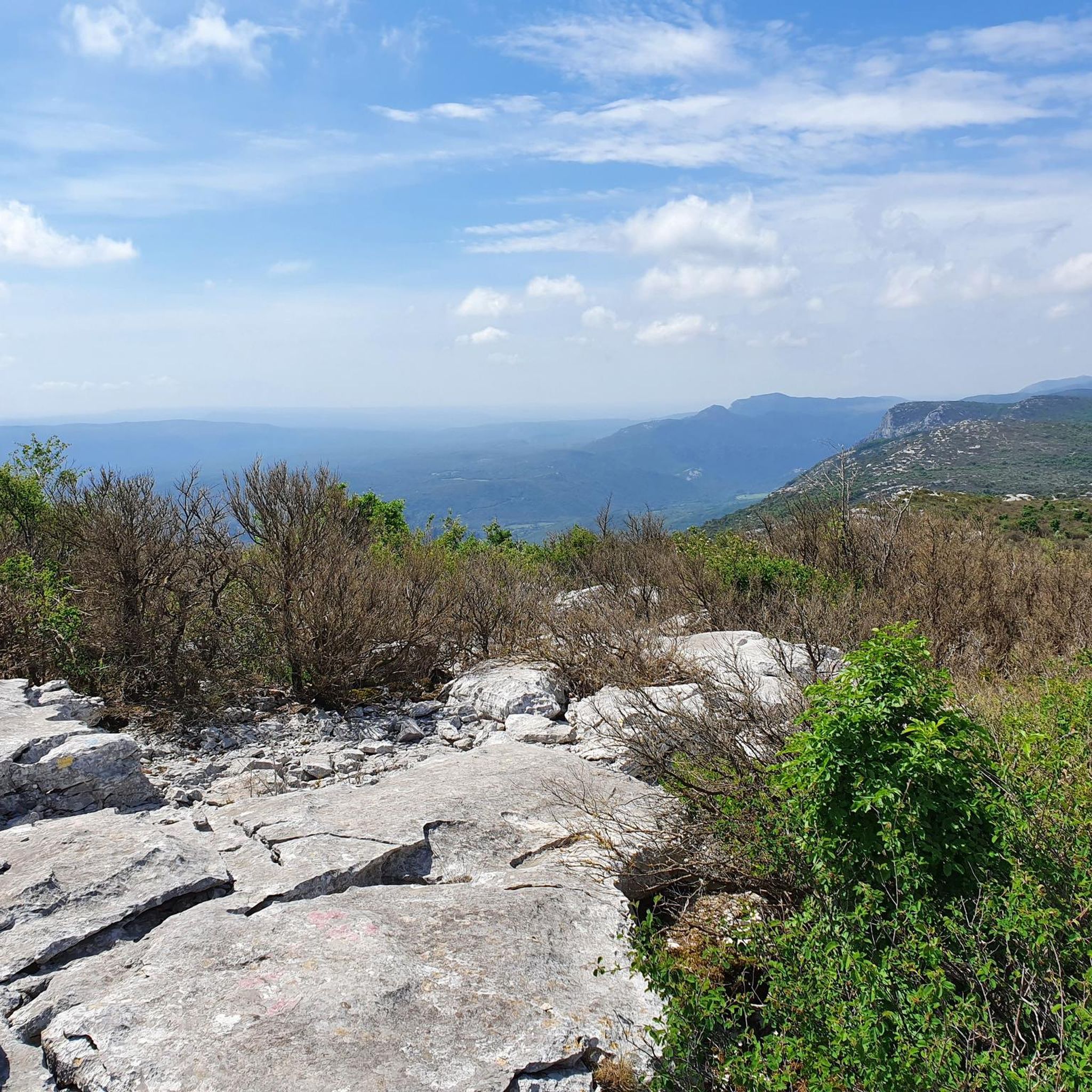
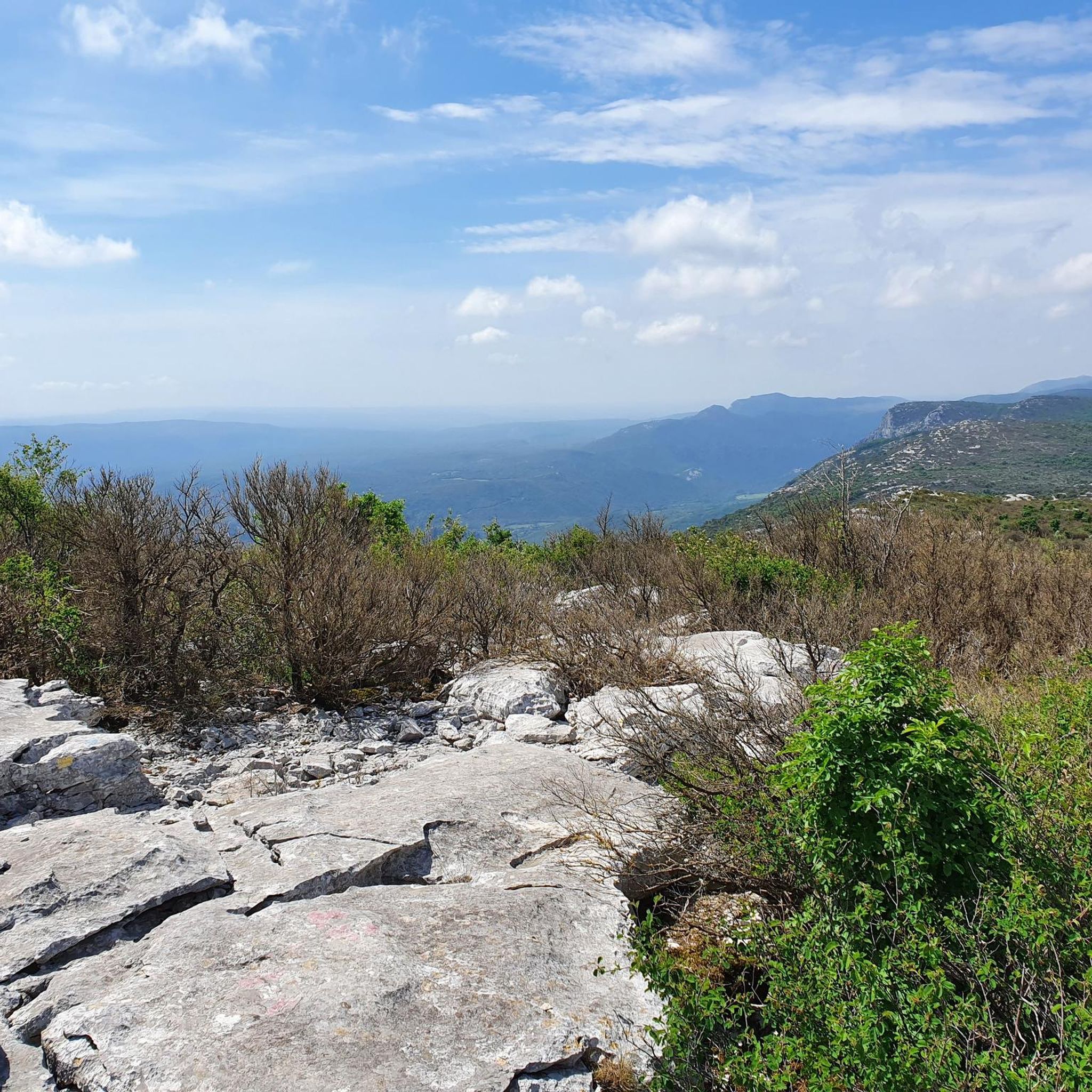
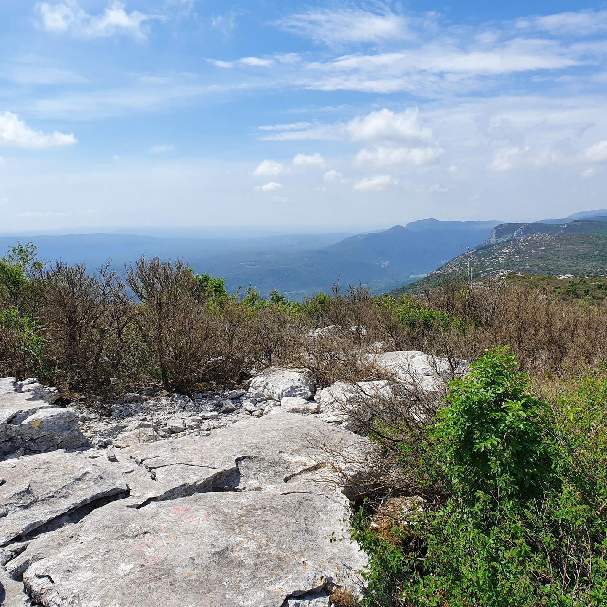
A really nice spot. Not as high as the ROC BLANC, but almost prettier, with a much more pleasant hike. The path to get there is nice, although steep, with a good difference in altitude! The descent is moderately gentle, but few surprises. In short, a pleasant summit, where it is good to spend time! BE CAREFUL, once at the top, to get to the "cornice", an 8/10m hole is almost at the edge of the path. Watch your feet.
2
0
A pretty little village at the foot of the Séranne!
1
0
The beginning of the path of the ascent towards the statue of the Virgin Mary, is done from the parking lot, near the Sanctuary of Notre-Dame du Suc. The climb is steep, but after all, everything is deserved! You will come across the 14 important moments that Jesus went through during his crucifixion. After 15/20 minutes, you will come across the large statue of the Virgin Mary.
2
0
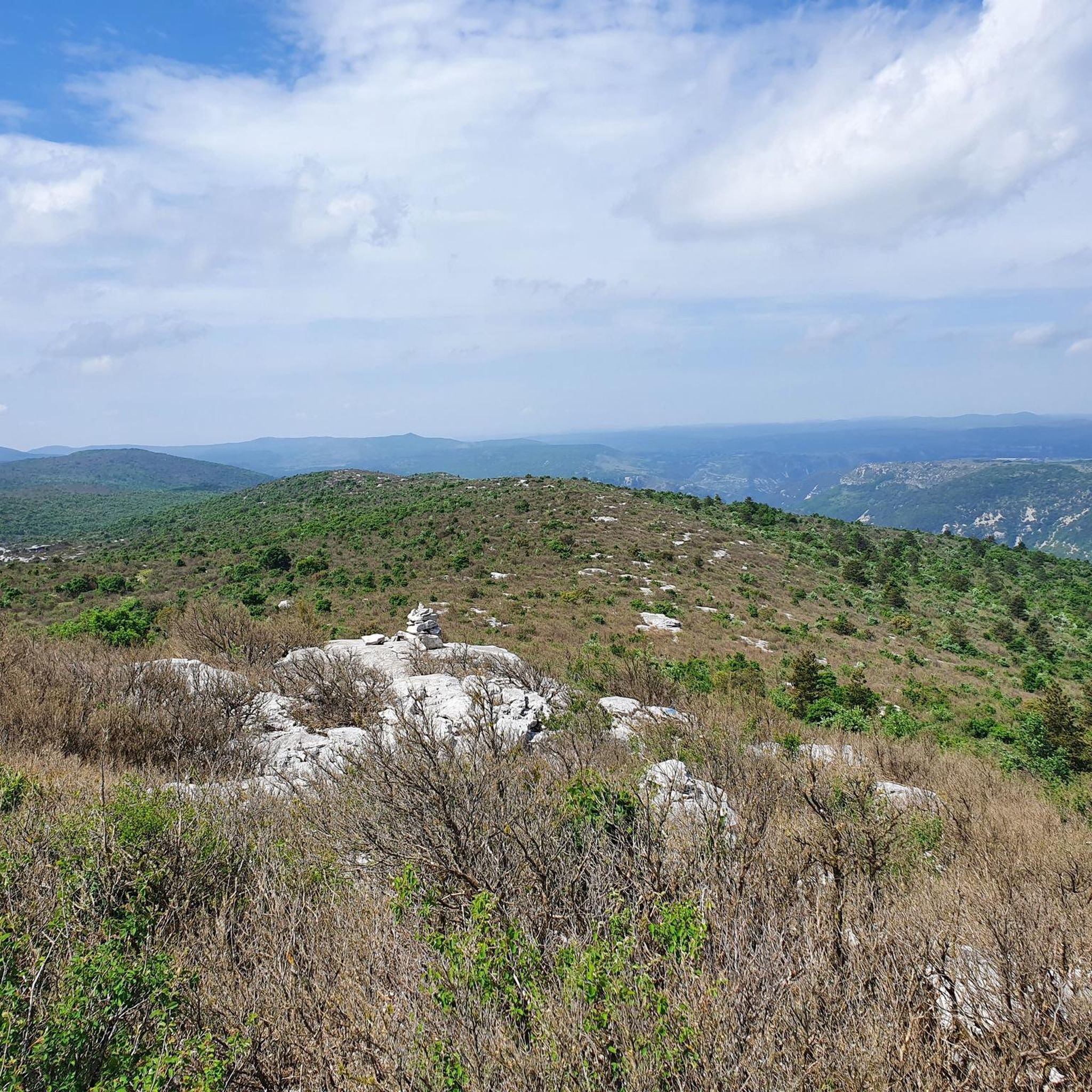
Access to the Roc du Blanc via the Sanctuary of Notre-Dame du Suc, via the statue of the Virgin Mary, is quite easy, provided you have some legs and a good cardio! It really climbs quite a bit for a good part, to finally calm down when you reach the antennas. Afterwards, it is only a "big" path, where it is not uncommon to come across hunters. Be careful, at the Roc Blanc, you are between 911 and 940m above sea level, depending on where you are positioned, it is important to cover yourself, especially in winter. The descent is steep (on my route). The path is sometimes not very obvious on the ridge, you have to follow the blue markings with a semblance of yellow! The hike in the opposite direction is tough, due to its slope of more than 38° in places, advice to amateurs!
3
0
Frequently Asked Questions
How many running routes are available in Gorniès?
Gorniès offers a wide selection of over 140 running routes, catering to various preferences and fitness levels. The komoot community has explored these trails over 2000 times, highlighting the region's popularity for outdoor activities.
Are there easy jogging routes in Gorniès?
Yes, Gorniès features a few easy jogging routes, with 6 trails specifically categorized as easy. These routes are perfect for beginners or those looking for a more relaxed run through the region's diverse landscapes.
Are there challenging running trails in Gorniès?
Absolutely. Gorniès is known for its challenging terrain, with 66 routes classified as difficult. These trails often feature significant elevation changes, leading to rugged peaks and offering expansive views. For example, the Roc Blanc and Montagne de la Séranne Trail is a difficult route with substantial elevation gain.
Are there long-distance running trails in Gorniès?
Yes, for runners seeking longer distances, Gorniès provides several options. The Le Roc Blanc loop from Cazilhac, for instance, spans over 20 kilometers, offering an extended challenge through varied landscapes.
What natural attractions can I see while jogging in Gorniès?
While running in Gorniès, you can explore several natural attractions. The region is rich in limestone formations and caves. You might encounter highlights like Anjeau Cave or the impressive Cirque de Navacelles, a grand canyon-like formation. Many routes traverse dense woodlands and offer views of rugged peaks.
Are there circular jogging routes in Gorniès?
Many of the running routes in Gorniès are designed as loops, allowing you to start and finish at the same point. The Anjeau Peak loop from Saint-Laurent-le-Minier is a popular example, providing a challenging circular path with panoramic vistas.
Can I bring my dog on the running trails in Gorniès?
Generally, dogs are welcome on many trails in the Gorniès region, especially those passing through natural areas and forests. However, it's always advisable to check local regulations for specific routes, particularly in protected areas or near agricultural land, and to keep your dog on a leash for their safety and to respect wildlife.
Are there family-friendly running routes in Gorniès?
While many routes in Gorniès feature significant elevation changes and are rated as difficult, there are also easier options suitable for families. Look for routes categorized as 'easy' or 'moderate' which tend to have less challenging terrain and shorter distances, making them more enjoyable for all ages.
What do other runners enjoy about the trails in Gorniès?
The running trails in Gorniès are highly rated by the komoot community, boasting an average score of 4.3 stars from over 50 reviews. Runners frequently praise the diverse landscape, challenging ascents to peaks, and the opportunity to explore dense forests and limestone formations. The varied terrain and scenic views are often highlighted as key attractions.
Are there jogging routes with parking available in Gorniès?
Many running routes in Gorniès start from villages or designated trailheads where parking is typically available. For example, routes like the Aven de la Chaise loop from Brissac often have convenient parking options in nearby towns, making access straightforward for runners arriving by car.
How accessible are Gorniès' running trails by public transport?
Accessibility by public transport in the Gorniès region can be limited, as many trailheads are located in more remote natural areas. While some villages might have bus connections, it's often more convenient to reach the starting points of running routes by car. We recommend checking local bus schedules for specific villages if you plan to rely on public transport.
Are there running routes with cafes or refreshments nearby in Gorniès?
Some running routes in Gorniès pass through or near small villages where you might find local cafes or shops for refreshments. For instance, routes starting or ending in villages like Saint-Laurent-le-Minier or Brissac may offer opportunities to refuel. It's always a good idea to carry sufficient water and snacks, especially on longer or more remote trails.
Most popular attractions around Gorniès

Get inspired with the komoot mobile app


Explore more
Browse the best Running Trails & Routes in other regions.
