The best walks and hikes around Beaulieu-Sur-Loire
4.5
(69)
373
hikers
44
hikes
Hiking around Beaulieu-Sur-Loire offers a network of trails primarily following the region's waterways. The landscape is characterized by the Canal Latéral à la Loire and the Loire River, featuring flat terrain and minimal elevation changes. These routes often include historical structures like the Briare Aqueduct, providing a blend of natural and engineered scenery. The area is suitable for various activity levels, with options for easy hikes Beaulieu-Sur-Loire.
Best hiking trails around Beaulieu-Sur-Loire
- The most popular hiking route is Circuit du…
Last updated: July 4, 2026
5.0
(1)
10
hikers
10.1km
02:39
80m
80m
Moderate hike. Good fitness required. Easily-accessible paths. Suitable for all skill levels.
4.0
(6)
31
hikers
Moderate hike. Good fitness required. Easily-accessible paths. Suitable for all skill levels.

Sign up for free
4.0
(2)
7
hikers
Hard hike. Very good fitness required. Easily-accessible paths. Suitable for all skill levels.
4.5
(4)
13
hikers
Easy hike. Great for any fitness level. Easily-accessible paths. Suitable for all skill levels.
5.0
(2)
6
hikers
Hard hike. Very good fitness required. Easily-accessible paths. Suitable for all skill levels.
Get access to more routes and recommendations from other explorers.
Sign up for free
Already have an account?
Our route recommendations are based on thousands of hikes, rides, and runs completed by other people on komoot.
Start today with a free account
Your next adventure awaits.
Login or Signup
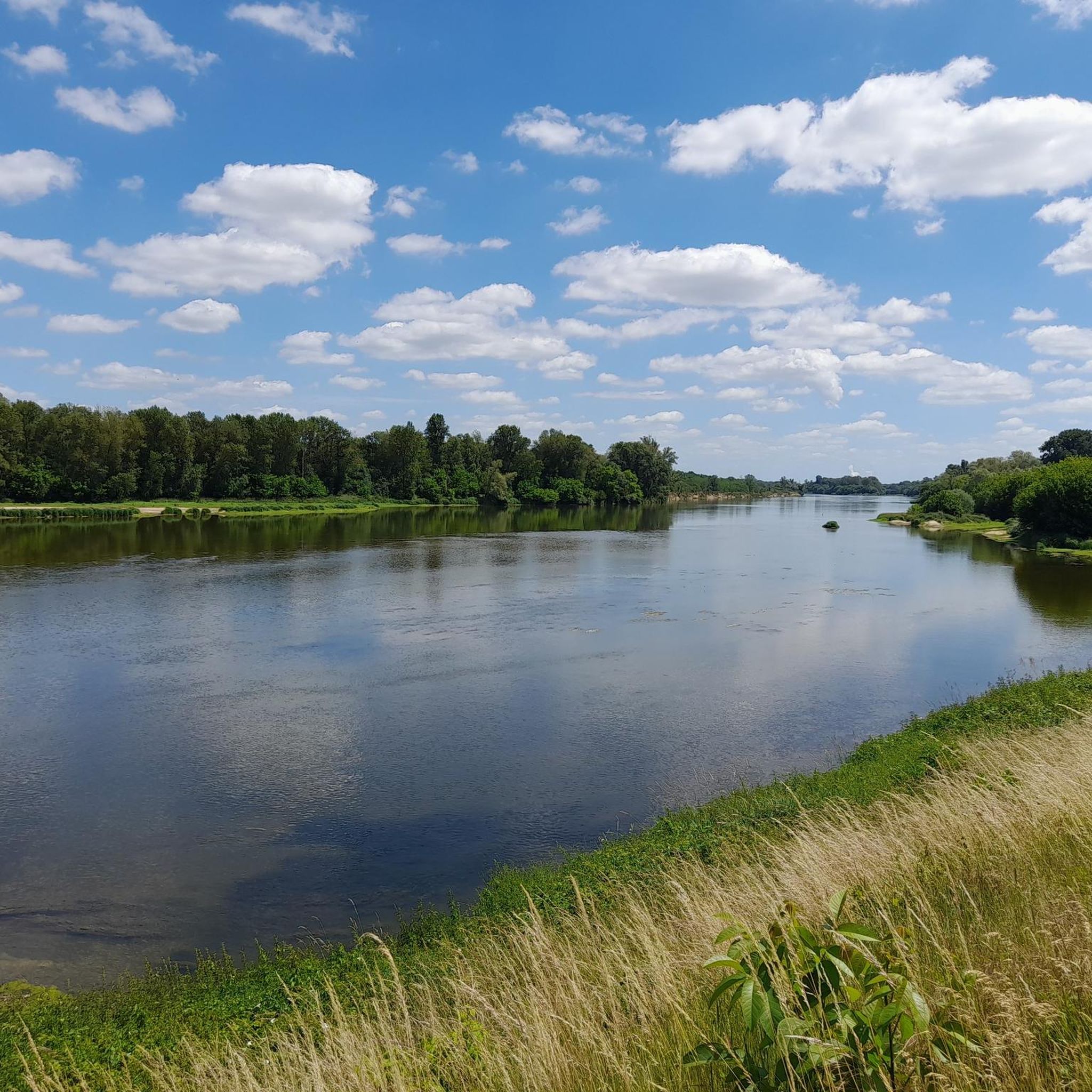
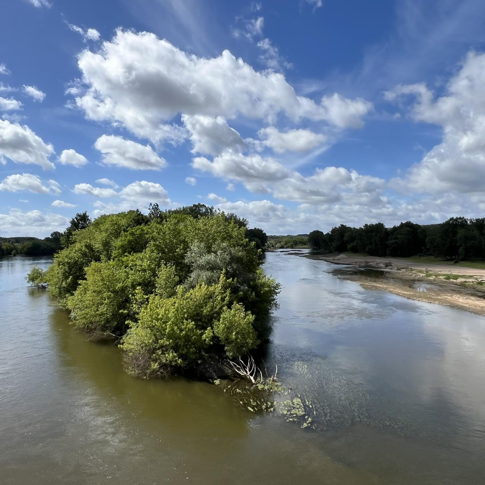
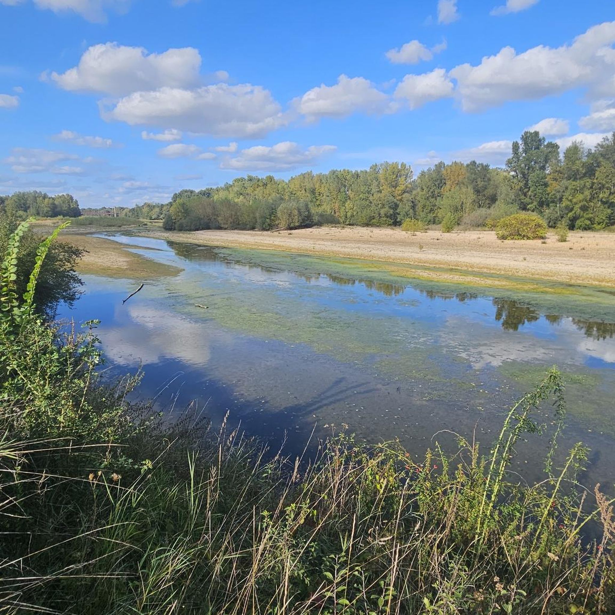
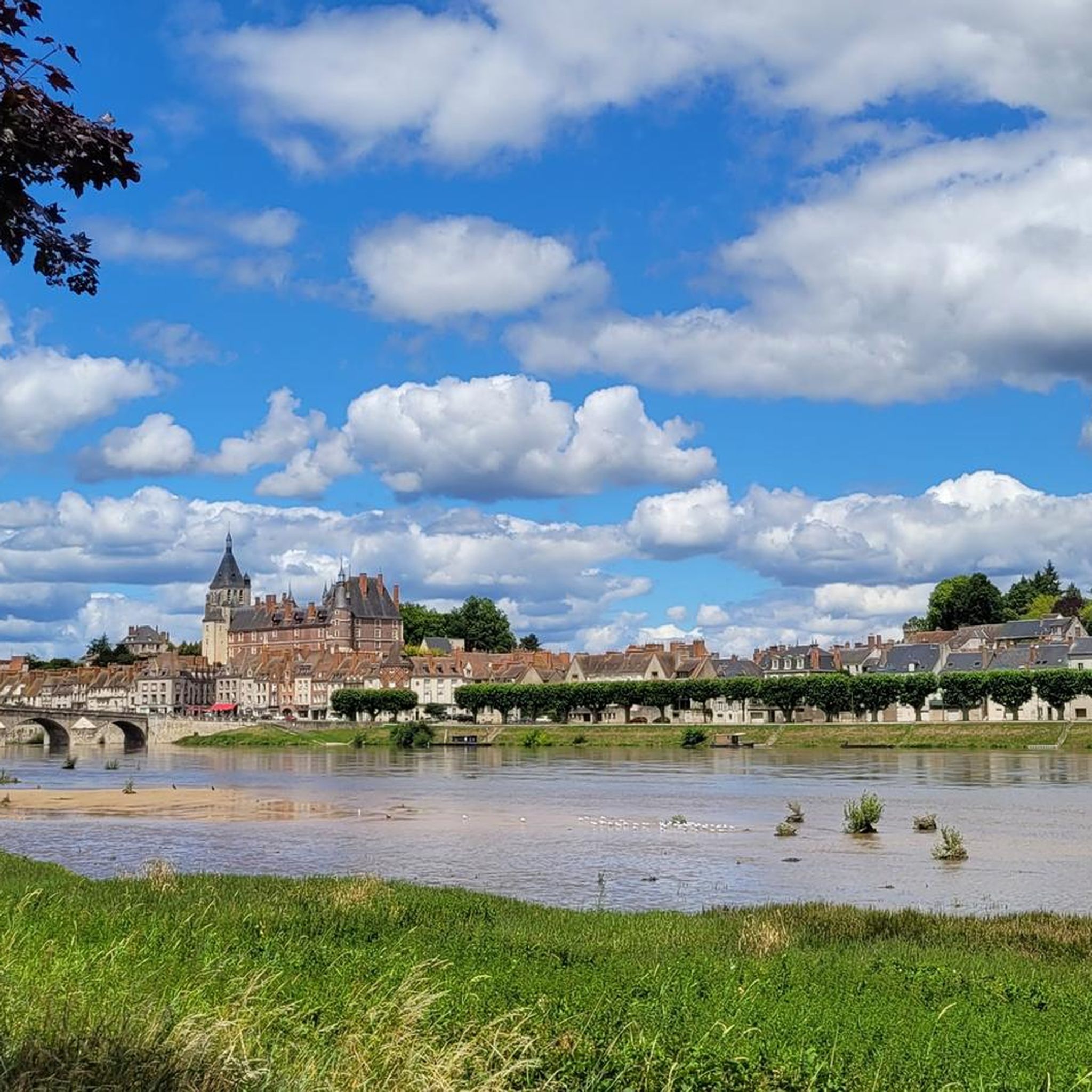

Tips from the Community


Very beautiful canal bridge, but I am no expert on canal bridges.
0
0


romantic place to rest
1
0

we rode over it with our bikes and had a great view of the Loire and Chalon
1
0

The 2023 footbridge allows pedestrians and cyclists to pass through and a staircase leads down to the beach for swimming in the Loire.
1
0

The Pont Canal de Saint-Firmin-sur-Loire, built between 1891 and 1896 by the engineers Sigault and Mazoyer, allows the side canal to the Loire to cross the RD 951. It is located 180 meters from the canal bridge of Briare. The work consists of an arch 7 m wide and 4.83 m high under closure. The arch consists of a horizontal elliptical vault of 10.70 m. framed by two oblique and flared vaults of 7.2 m. for a total length of 25.10 m. The arch is equipped with a pair of inverted guard doors at each of its heads. These doors are closed when the flood waters of the Loire threaten to enter the village of Saint-Firmin-sur-Loire.
1
1

Very beautiful view of the Loire
1
0
Frequently Asked Questions
How many hiking trails are available around Beaulieu-Sur-Loire?
There are over 45 hiking trails documented around Beaulieu-Sur-Loire on komoot. These routes cater to various preferences, from easy strolls to more challenging long-distance paths.
Are there easy hiking trails suitable for beginners or casual walkers?
Yes, Beaulieu-Sur-Loire offers a good selection of easy hikes. Approximately half of the routes, around 23 trails, are classified as easy, making them perfect for beginners or those looking for a relaxed walk along the waterways.
What is the typical duration for hikes in Beaulieu-Sur-Loire?
Hike durations vary, but many popular routes can be completed within a few hours. For example, the Circuit du sentier de Gaston — Châtillon-sur-Loire typically takes around 2 hours 39 minutes, while longer routes like the Canal Latéral à la Loire – Briare Aqueduct loop from Châtillon-sur-Loire can take over 6 hours.
Are there any circular walking routes in the area?
Yes, many of the trails around Beaulieu-Sur-Loire are circular, offering convenient starting and ending points. Notable circular routes include the Briare Aqueduct – Briare Bridge loop from Châtillon-sur-Loire and the Mantelot Lock – Canal Latéral à la Loire loop from Châtillon-sur-Loire.
What kind of scenery can I expect on the hiking trails?
The landscape is primarily defined by its waterways, including the Canal Latéral à la Loire and the Loire River. You'll experience flat terrain, minimal elevation changes, and often encounter historical structures like the impressive Briare canal bridge, offering a blend of natural and engineered beauty.
Are the hiking trails in Beaulieu-Sur-Loire suitable for families with children?
Given the generally flat terrain and numerous easy routes, many trails are suitable for families. The paths along the canal and riverbanks provide safe and enjoyable environments for walks with children, often with interesting sights like locks and bridges.
Can I bring my dog on the hiking trails?
Most trails in the Beaulieu-Sur-Loire region are dog-friendly, provided your dog is kept on a leash. The open paths along the canals and rivers offer plenty of space for you and your canine companion to enjoy the outdoors.
What are some interesting landmarks or attractions to see while hiking?
Hikers can discover several points of interest. The iconic Briare canal bridge (Aqueduct) is a major highlight. You might also encounter the Saint Stephen's Church, the Châtillon-sur-Loire bridge, and various historic canal locks along the routes.
Is parking available near the trailheads?
Yes, parking is generally available in the towns and villages that serve as common starting points for these trails, such as Châtillon-sur-Loire and Bonny-sur-Loire. Many routes begin near public parking areas, especially those along the canal.
What do other hikers enjoy most about hiking in Beaulieu-Sur-Loire?
The area is highly rated by the komoot community, with an average score of 4.5 stars from over 70 reviews. Reviewers often praise the peaceful canal-side paths, the historical aqueduct, and the overall flat and accessible nature of the routes, making them enjoyable for various activity levels.
Are there any longer, more challenging hikes for experienced hikers?
While the terrain is generally flat, there are longer routes that offer a greater challenge due to their distance. For instance, the Canal Latéral à la Loire – Mantelot Lock loop from Bonny-sur-Loire is a difficult 19.9 km trail, providing a substantial day out for those seeking more endurance.
Most popular routes around Beaulieu-Sur-Loire
Most popular attractions around Beaulieu-Sur-Loire

Get inspired with the komoot mobile app


Explore more
Browse the best Hikes in other regions.
