The best walks and hikes around Corquilleroy
4.3
(97)
664
hikers
122
hikes
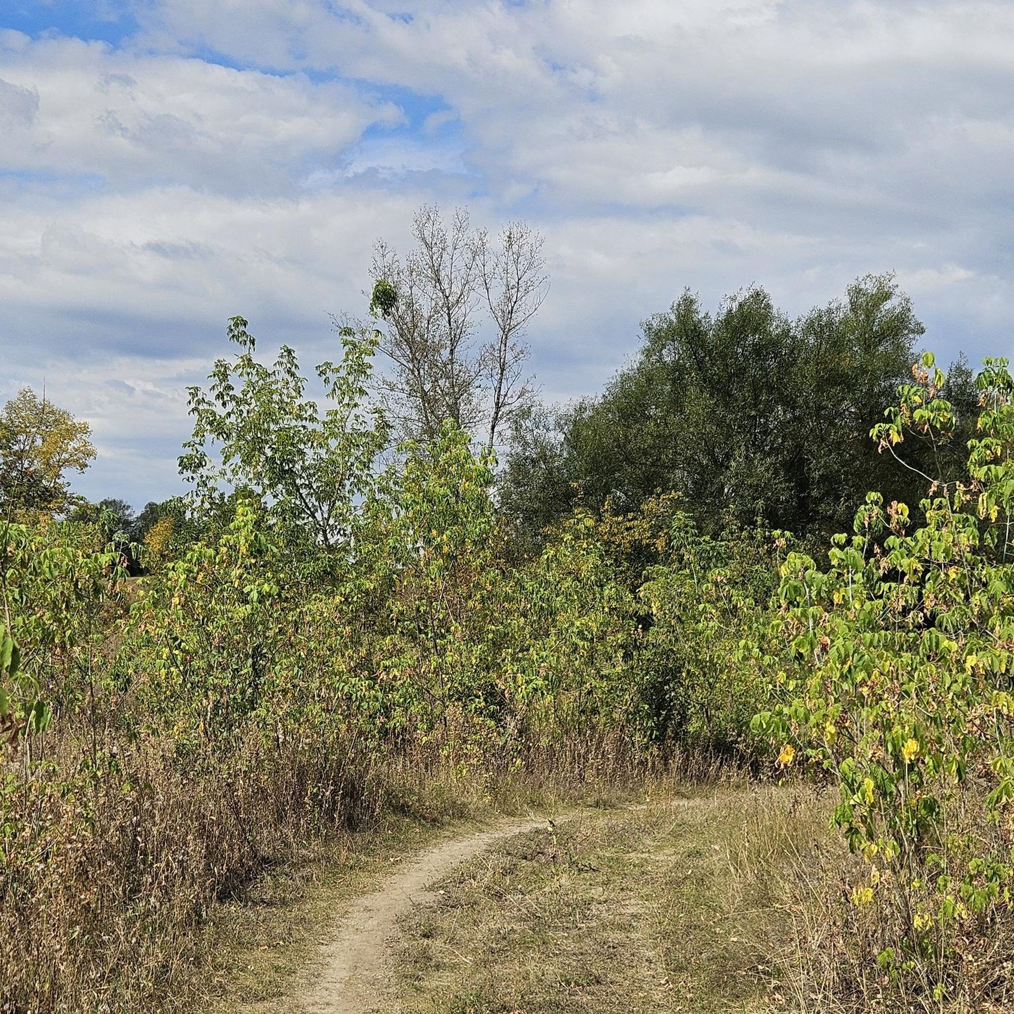
Hiking around Corquilleroy offers access to a diverse natural setting within the Gâtinais region of France. The area is characterized by its extensive network of waterways, including the Briare, Loing, and Orléans canals, which provide numerous waterside paths. The surrounding landscape features a mix of rivers, marshes, ponds, fields, prairies, and woodlands, contributing to varied hiking experiences. Terrain is generally gentle, with minimal elevation changes, making many routes accessible.
Best hiking trails around Corquilleroy
- The most popular hiking route is…
Last updated: July 2, 2026
4.2
(5)
60
hikers
4.94km
01:15
10m
10m
Easy hike. Great for any fitness level. Easily-accessible paths. Suitable for all skill levels.
4.7
(3)
48
hikers
3.16km
00:48
10m
10m
Easy hike. Great for any fitness level. Easily-accessible paths. Suitable for all skill levels.

Sign up for free
4.8
(5)
21
hikers
14.8km
03:45
30m
30m
Moderate hike. Good fitness required. Easily-accessible paths. Suitable for all skill levels.
5.0
(1)
14
hikers
6.60km
01:40
10m
10m
Easy hike. Great for any fitness level. Easily-accessible paths. Suitable for all skill levels.
5.0
(1)
14
hikers
6.29km
01:36
20m
20m
Easy hike. Great for any fitness level. Easily-accessible paths. Suitable for all skill levels.
Get access to more routes and recommendations from other explorers.
Sign up for free
Already have an account?
Our route recommendations are based on thousands of hikes, rides, and runs completed by other people on komoot.
Start today with a free account
Your next adventure awaits.
Login or Signup


Tips from the Community

The Briare Canal is a shipping canal in the French regions of Centre-Val de Loire and Bourgogne-Franche-Comté. Together with the Loing Canal, the Lateral Canal à la Loire, and the Canal du Centre, it forms a chain of canals (the Bourbonnais Route) that served the Parisian waterways. Today, it allows inland waterway vessels and pleasure craft to cross from the Seine to the Saône and then via the Rhône to the Mediterranean.
1
0

A striking contrast in the quality of the road or the developments of the Briard Canal are painful to see compared to those of the Orléans Canal.
0
0

Formerly two mills facing each other, the Vieux-Moulin on the left bank and the Moulin-Neuf on the right bank, the first probably dating from the 18th century. During the 20th century, the two-wheel buildings were replaced by the large central building which spans the Loing today.
0
0
Place where the three canals of Briare, Orléans and Loing meet, since 1724, the year the construction of the Loing ended. The house was that of the lock keeper and the lock controller, today the House of Nature and Water.
0
0


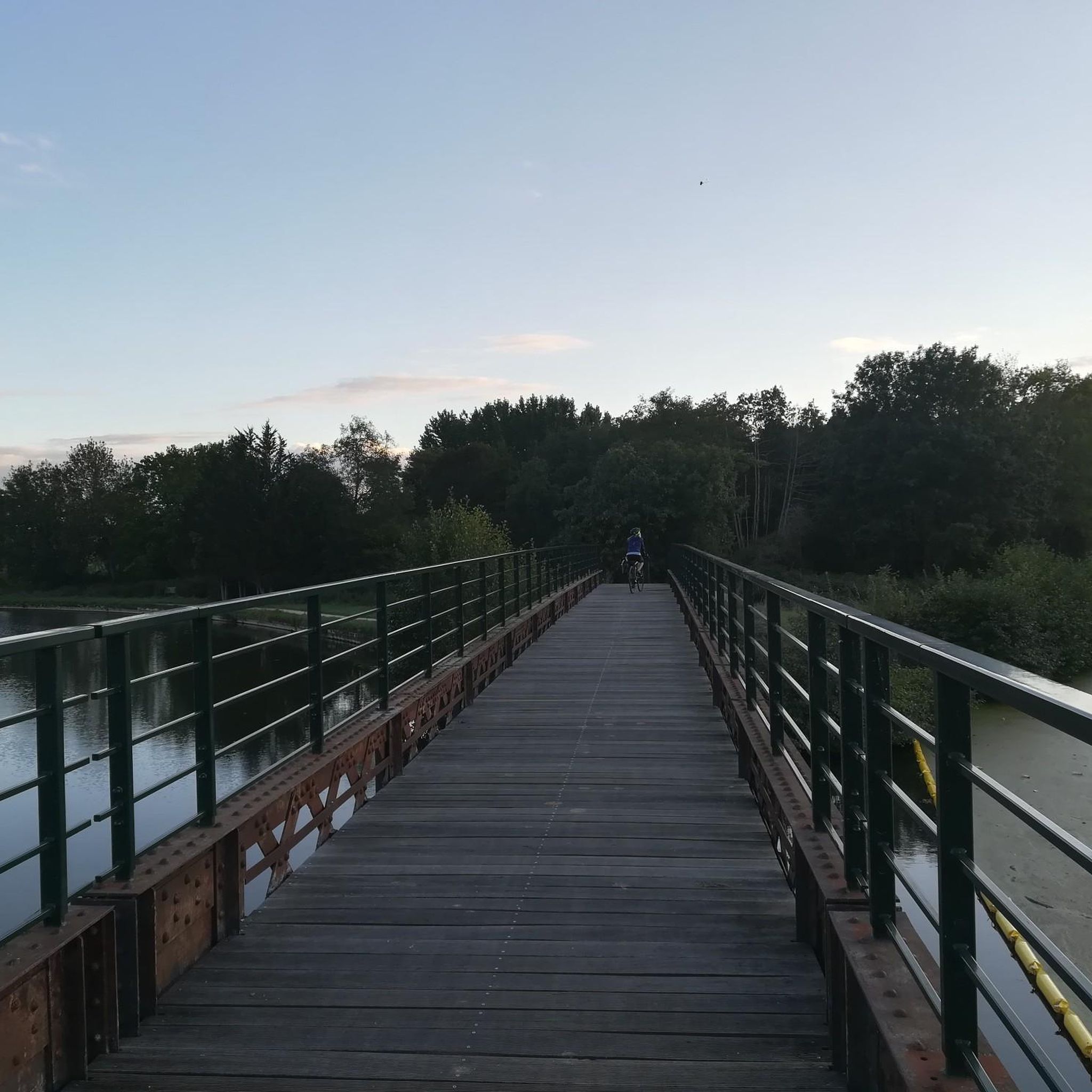
Very nice at sunset
2
0
Frequently Asked Questions
What kind of landscapes can I expect when hiking around Corquilleroy?
Corquilleroy is nestled in the Gâtinais region, characterized by abundant waterways, including the Briare, Loing, and Orléans canals. You'll find picturesque waterside paths, diverse ecosystems with rivers, marshes, ponds, fields, prairies, and woodlands. The terrain is generally gentle, offering varied and engaging experiences.
Are there easy hiking trails suitable for beginners or casual walkers?
Yes, Corquilleroy offers many easy options. Out of 122 available routes, 57 are classified as easy. An example is the Le Solin loop from Châlette-sur-Loing, an easy 1.5-mile (2.3 km) trail that takes about 35 minutes to complete.
What is the general difficulty level of hikes in Corquilleroy?
The majority of hikes around Corquilleroy are either easy or moderate. There are 57 easy routes and 63 moderate routes, making the area accessible for most fitness levels. Only a small number of trails (2) are classified as difficult.
What natural landmarks or attractions can I see on hikes near Corquilleroy?
The region is rich in waterways. You can explore the Junction of the Canal d'Orléans and the Canal de Briare, or walk along the scenic Canal de Briare. The Gâtinais region itself is known for its diverse natural features, including unique rocky formations in some areas.
Are there any historical or cultural points of interest along the trails?
Yes, you might encounter historical elements like the Bardin Mill. Additionally, the nearby town of Montargis, often called the 'Venice of Gâtinais,' is just 7 km away and features 131 bridges and footbridges, offering a blend of natural and historical scenery.
Is parking available near the trailheads in Corquilleroy?
While specific parking areas aren't detailed for every trailhead, as a charming village, Corquilleroy and its surrounding towns typically offer public parking options within reasonable proximity to popular starting points for hikes.
Can I reach hiking trails in Corquilleroy using public transport?
Corquilleroy is a rural village. While local bus services might connect to larger towns, direct public transport to specific trailheads may be limited. It's advisable to check local transport schedules or consider driving to access the starting points of most hikes.
What do other hikers enjoy the most about hiking in Corquilleroy?
The area is highly rated by the komoot community, with an average score of 4.3 stars from over 80 reviews. Hikers often praise the serene beauty of the waterways, the well-maintained paths, and the diverse, gentle landscapes of the Gâtinais region.
Are there any circular walking routes available?
Yes, many routes in the area are designed as loops. For instance, you can try the The Ponds loop from Cepoy, a moderate 5.1-mile (8.2 km) trail exploring local pond systems, or the Old Mill – Old Paper Mill loop from Chalette-sur-Loing, an easy 4.3-mile (6.8 km) option.
Are the hiking trails in Corquilleroy suitable for families with children?
Yes, the generally flat terrain and numerous easy routes make Corquilleroy suitable for families. The waterside paths along the canals are particularly pleasant for leisurely strolls with children. The 'Échappée gâtinaise en terres agricoles' trail, starting from Corquilleroy, is an easy 6.44 km route perfect for a family outing.
Can I bring my dog on the hiking trails in Corquilleroy?
The Gâtinais region and its rural paths are generally dog-friendly. Most natural areas and towpaths along the canals welcome dogs, though it's always recommended to keep them on a leash, especially near agricultural lands or wildlife, and to respect local signage.
What is the best time of year to go hiking in Corquilleroy?
The diverse landscapes of Corquilleroy offer pleasant hiking experiences throughout much of the year. Spring and autumn provide comfortable temperatures and beautiful scenery with blooming flora or vibrant fall colors. Summer is also suitable, especially for waterside walks, while winter can offer peaceful, crisp conditions.
Are there any longer day hikes available for more experienced hikers?
For those seeking a longer challenge, the Old Paper Mill – Old Mill loop from Châlette-sur-Loing is a moderate 10.0-mile (16.1 km) path that follows canal towpaths and rural landscapes, offering a more extended exploration of the area.
Most popular routes around Corquilleroy
Most popular attractions around Corquilleroy

Get inspired with the komoot mobile app


Explore more
Browse the best Hikes in other regions.
