The best walks and hikes around Becherbach bei Kirn
4.6
(3715)
13,839
hikers
632
hikes
Hiking around Becherbach bei Kirn offers diverse landscapes, including rolling hills, dense forests, and clear streams within the picturesque Nahetal. The region features unique geological formations like the Kirner Dolomites, impressive quartzite rock formations in the Hahnenbachtal. Trails often traverse the idyllic Trübenbachtal and provide views over the Nahe valley. This varied terrain provides a range of hiking experiences.
Best hiking trails around Becherbach bei Kirn
- The most popular hiking route is Junkerwaldblick Viewpoint – Eselbrücke Kohlenhütte loop from Schmidthachenbach…
Last updated: June 30, 2026
4.3
(6)
25
hikers
Moderate hike. Good fitness required. Easily-accessible paths. Suitable for all skill levels.
4.9
(9)
21
hikers
Moderate hike. Good fitness required. Easily-accessible paths. Suitable for all skill levels.

Sign up for free
5.0
(3)
16
hikers
9.30km
02:41
240m
240m
Moderate hike. Good fitness required. Easily-accessible paths. Suitable for all skill levels.
5.0
(2)
11
hikers
Moderate hike. Good fitness required. Easily-accessible paths. Suitable for all skill levels.
4.6
(5)
12
hikers
7.16km
01:56
90m
90m
Easy hike. Great for any fitness level. Easily-accessible paths. Suitable for all skill levels.
Get access to more routes and recommendations from other explorers.
Sign up for free
Already have an account?
Our route recommendations are based on thousands of hikes, rides, and runs completed by other people on komoot.
Start today with a free account
Your next adventure awaits.
Login or Signup
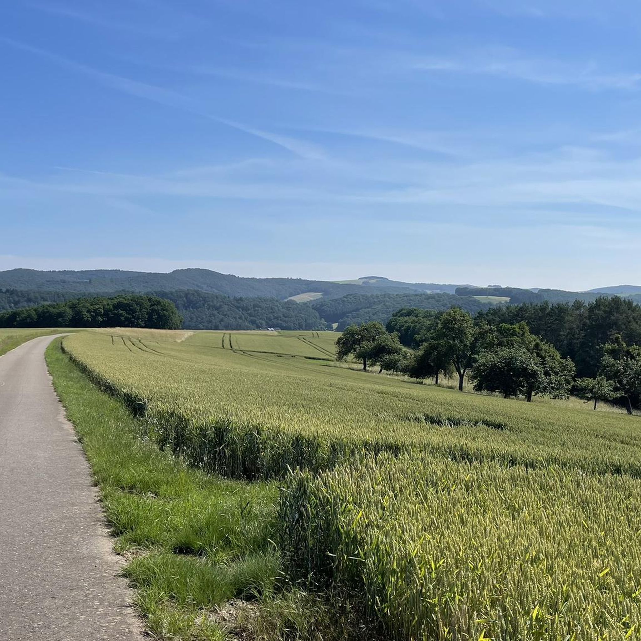
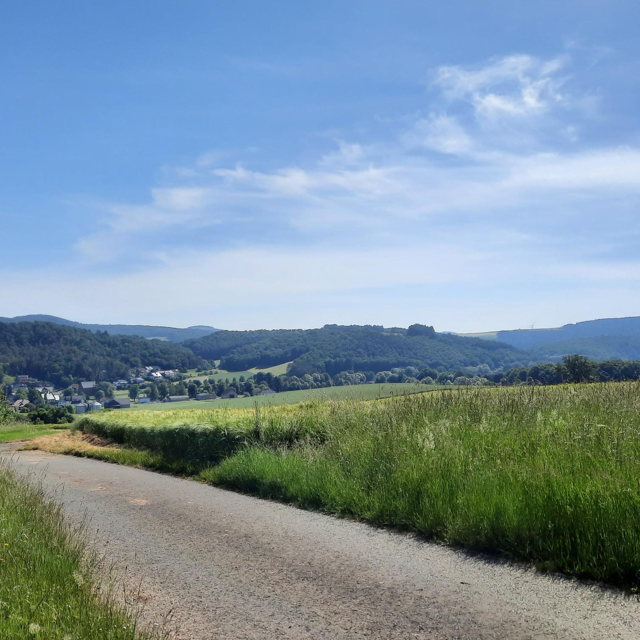
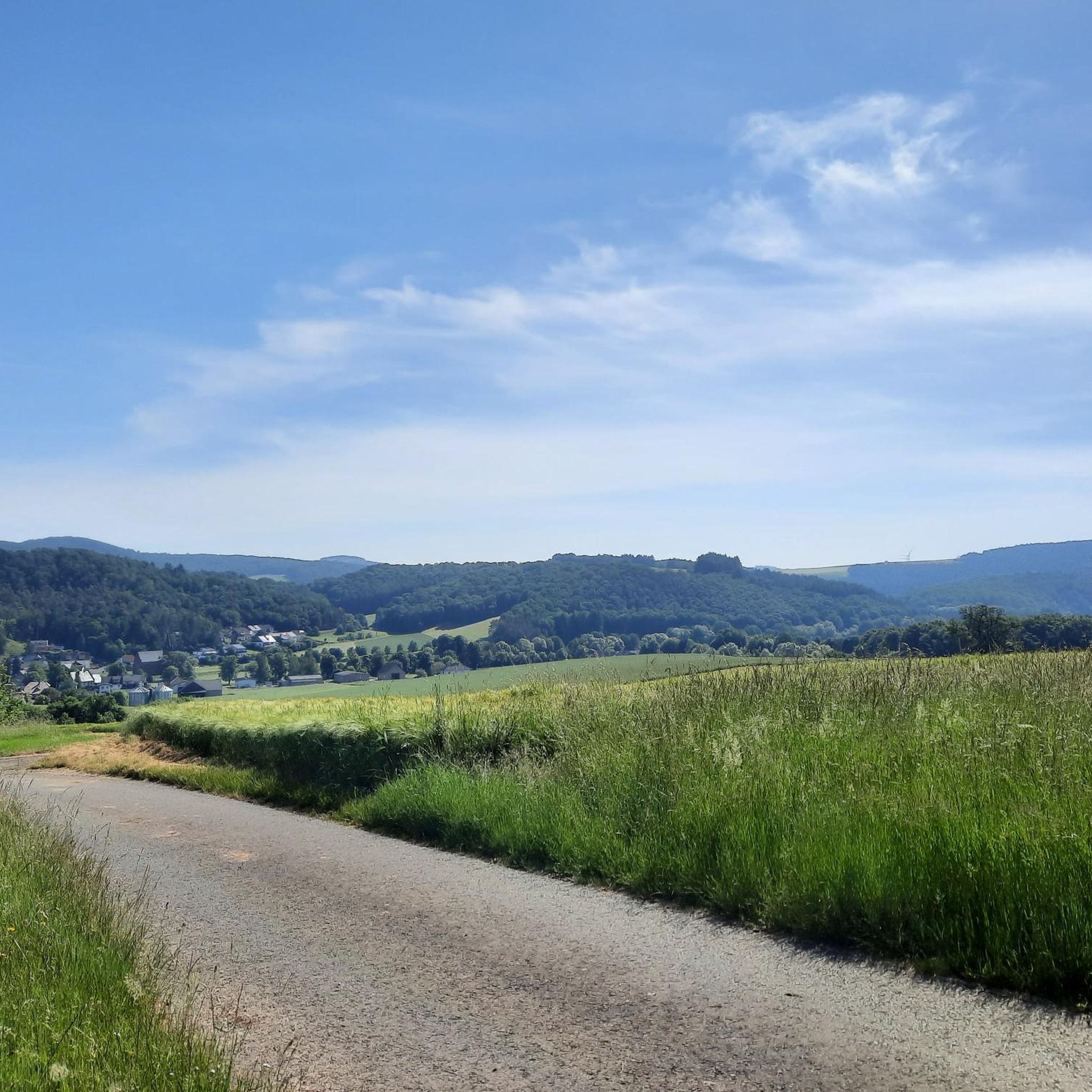
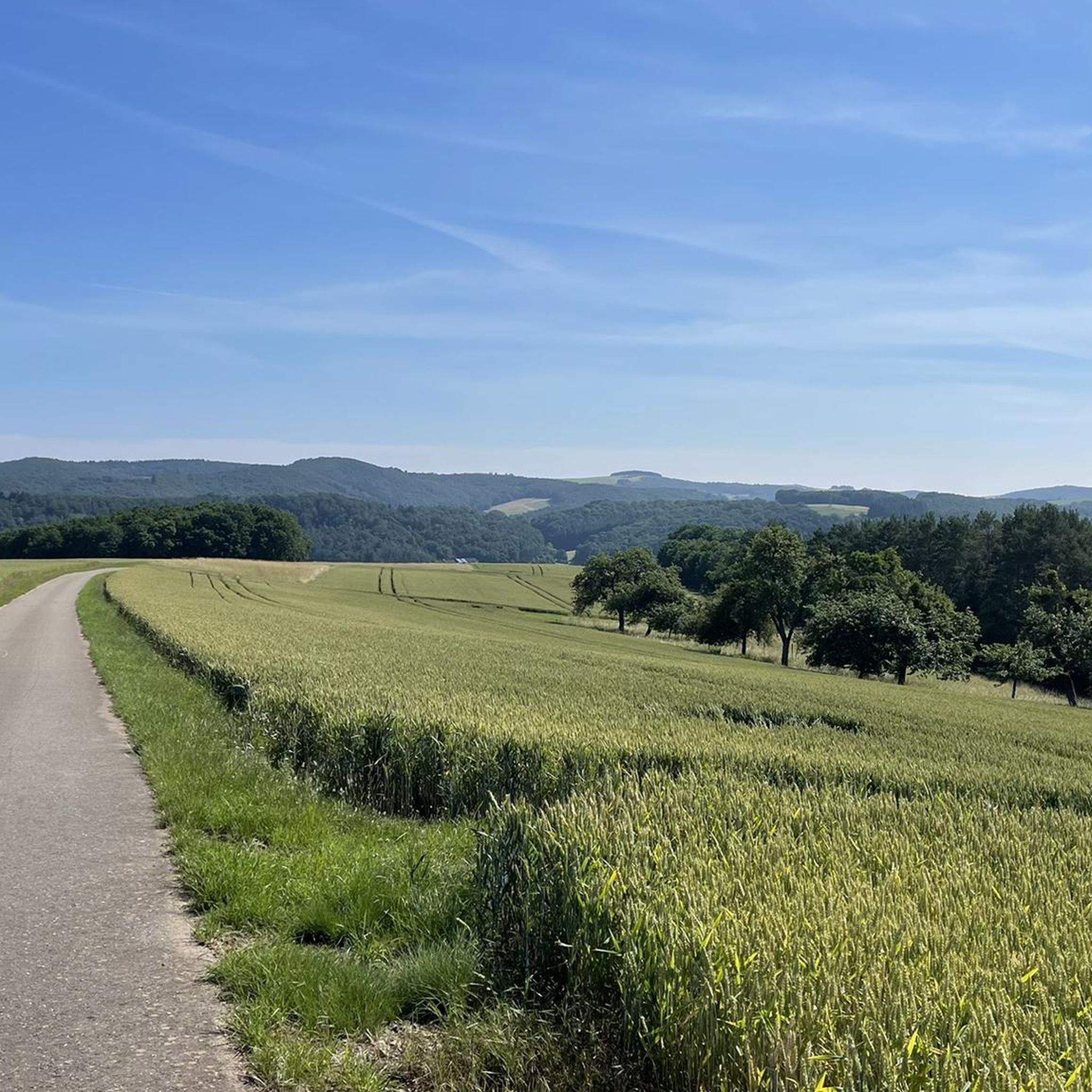

Tips from the Community

Nestled between meadows and a stream lies the Füllmannsmühle, a historic mill site that was revitalized after a fire. Today, tradition meets farm life: direct sales of free-range meat and sausages, along with fresh eggs – regional, honest, and uncomplicated. On the grounds, buildings and details recall the mill's former operations; contrasting with these are the farm's modern-day machinery and stables. For hikers, the mill is a welcome stop: a quick detour, a stop, refuel, and move on. Tip: Check opening hours in advance, park considerately, and keep dogs on leashes.
0
0

The evangelical parish of Becherbach includes the villages of Becherbach, Heimweiler and Ozweiler and currently has around 690 parishioners.
1
0
The two namesakes of the VITALTour can be found here as beautiful wooden sculptures.
1
0

The evangelical parish, whose new church building was inaugurated in 1967, belongs to the evangelical parish of Becherbach. A bell tower was also built in 1996, as the church had not previously had its own bell. (Wikipedia)
1
0
Here you can see the lower Horbachsmühle, slightly above, and then you come to the Füllmansmühle.
1
0
A great rest area with seating, swings and information board
0
0
Simply beautiful the Süssbachklamm!
1
0
Old stone bridge over the Großbach
0
0
Frequently Asked Questions
How many hiking trails are available around Becherbach bei Kirn?
There are over 600 hiking routes around Becherbach bei Kirn. These include a wide variety of options, with more than 330 easy trails, 250 moderate routes, and over 40 challenging hikes, ensuring something for every skill level.
What kind of terrain can I expect on hikes near Becherbach bei Kirn?
The terrain around Becherbach bei Kirn is diverse, featuring rolling hills, lush forests, and clear streams within the picturesque Nahetal. You'll also encounter unique geological formations like the impressive Kirner Dolomites in the Hahnenbachtal, and idyllic valleys such as the Trübenbachtal. Many routes offer scenic views over the Nahe valley.
Are there any family-friendly hiking options in Becherbach bei Kirn?
Yes, Becherbach bei Kirn offers many family-friendly hikes. With over 330 easy routes, you can find trails suitable for all ages. For example, the Braunenberg – Heimweiler Village Center loop from Heimweiler is an easy 7.1 km trail that can be a good option for families.
What are some notable natural attractions to see while hiking?
Hikers can discover several natural attractions. The Kirner Dolomites, impressive quartzite rock formations up to 30 meters high in the Hahnenbachtal, are a unique geological feature. The serene Nahetal and the idyllic Trübenbachtal also offer beautiful natural scenery. You might also encounter landmarks like the Teufelseiche (Devil's Oak) on routes such as the Teufelseiche (Devil's Oak) – Eselbrücke Kohlenhütte loop from Schmidthachenbach.
Are there any historical sites or castles along the hiking trails?
Absolutely. The region is rich in history. You can visit Dhaun Castle with its romantic park and tree trail, or the Kyrburg Castle ruins, offering impressive views over the Nahe valley. The "3-Castle-Weg" vitality tour connects Kyrburg with Steinkallenfels Castle Ruins and Wartenstein castles, often passing through the Hahnenbach gorge.
What is the best time of year to go hiking in Becherbach bei Kirn?
The best seasons for hiking in Becherbach bei Kirn are typically spring and autumn. During these times, the weather is mild, and the scenery is particularly vibrant, making for ideal hiking conditions.
Are there any circular hiking routes available?
Yes, many of the hiking routes around Becherbach bei Kirn are circular. For example, the Junkerwaldblick Viewpoint – Eselbrücke Kohlenhütte loop from Schmidthachenbach is a popular moderate circular trail offering scenic views.
What do other hikers enjoy most about the trails in Becherbach bei Kirn?
The trails in Becherbach bei Kirn are highly rated by the komoot community, with an average score of 4.6 stars from over 3,300 reviews. Hikers often praise the diverse landscapes, including rolling hills and dense forests, and the unique geological features like the Kirner Dolomites. The variety of routes for different ability levels is also frequently appreciated.
Are there any easy hikes with good viewpoints?
While many routes offer views, an easy option that provides scenic vistas is the Old Brickworks Ruins – Swing with a View of Heimweiler loop from Heimweiler. This moderate 7.3 km trail leads through areas with historical ruins and offers pleasant viewpoints.
Where can I find parking for hiking trails in Becherbach bei Kirn?
Parking availability varies by trailhead. Many routes start from villages like Schmidthachenbach or Heimweiler, where you can typically find local parking options. It's advisable to check the specific tour details on komoot for recommended starting points and parking information for your chosen route.
Are there any routes that pass by interesting shelters or huts?
Yes, some routes will lead you past interesting shelters and huts. For instance, you might encounter the Schinderhannes Hut and Schinderhannes Oak Natural Monument, or the Falkenstein Shelter with Views over the Kellenbach Valley, which offer great spots for a break.
What is the typical duration for a moderate hike in this area?
Moderate hikes in Becherbach bei Kirn typically range from 2 to 3 hours. For example, the Junkerwaldblick Viewpoint – Eselbrücke Kohlenhütte loop from Schmidthachenbach, a 7.6 km moderate trail, usually takes about 2 hours and 3 minutes to complete.
Most popular routes around Becherbach bei Kirn
Most popular attractions around Becherbach bei Kirn

Get inspired with the komoot mobile app


Explore more
Browse the best Hikes in other regions.
