The best walks and hikes around Montoussé
4.3
(66)
472
hikers
43
hikes
Hiking around Montoussé offers a variety of terrain, characterized by rolling hills and forested areas, with views extending towards the Pyrenees. The region features a network of trails suitable for different experience levels, from gentle paths to more demanding ascents. Many routes follow natural contours, providing a mix of open landscapes and shaded woodland sections. The area's geology contributes to varied scenery, making it a suitable destination for those seeking diverse hiking trails.
Best hiking trails around Montoussé
- The most…
Last updated: July 4, 2026
4.0
(3)
22
hikers
7.82km
02:21
200m
200m
Moderate hike. Good fitness required. Mostly accessible paths. Sure-footedness required.
4.3
(4)
8
hikers
7.83km
02:29
270m
270m
Hard hike. Good fitness required. Sure-footedness, sturdy shoes and alpine experience required.

Sign up for free
4.7
(3)
7
hikers
5.07km
01:39
180m
180m
Hard hike. Great for any fitness level. Sure-footedness, sturdy shoes and alpine experience required.
6
hikers
6.83km
01:57
160m
160m
Easy hike. Great for any fitness level. Easily-accessible paths. Suitable for all skill levels.
5
hikers
7.50km
03:10
620m
620m
Moderate hike. Good fitness required. Easily-accessible paths. Suitable for all skill levels.
Get access to more routes and recommendations from other explorers.
Sign up for free
Already have an account?
Our route recommendations are based on thousands of hikes, rides, and runs completed by other people on komoot.
Start today with a free account
Your next adventure awaits.
Login or Signup



Tips from the Community

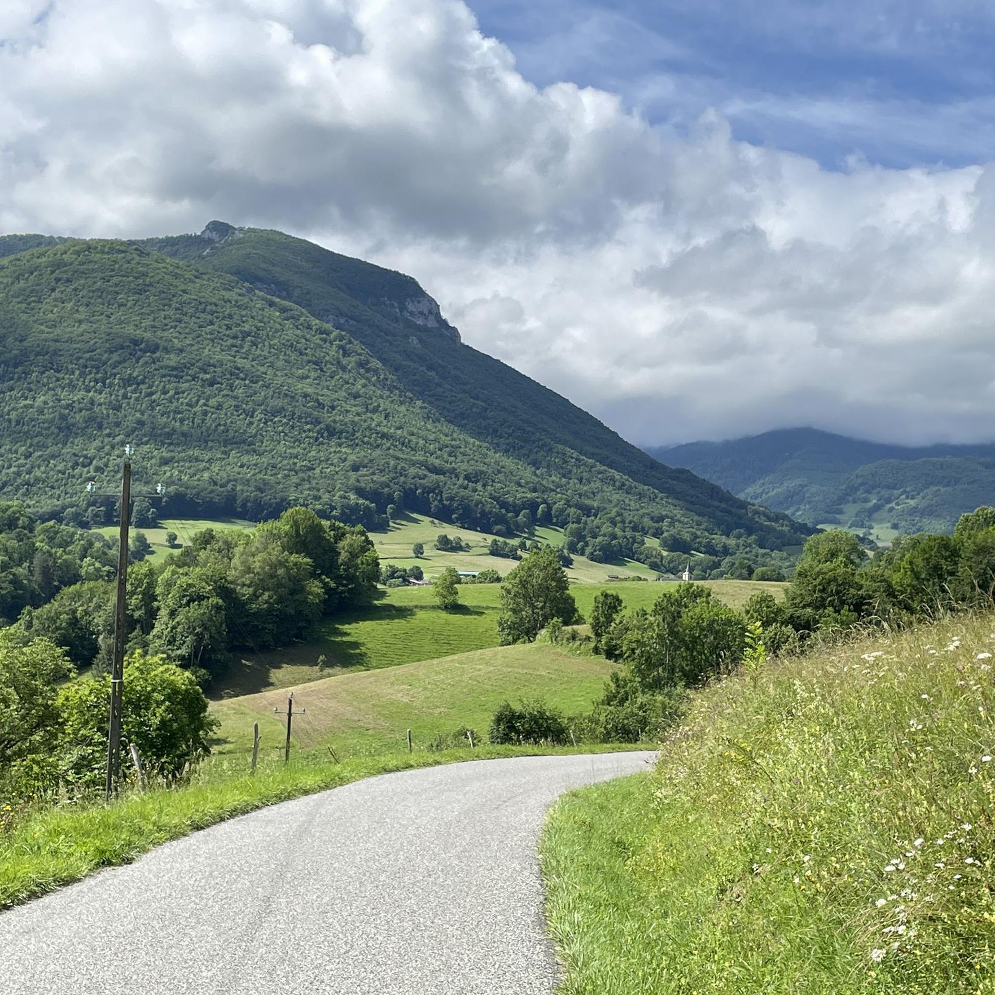
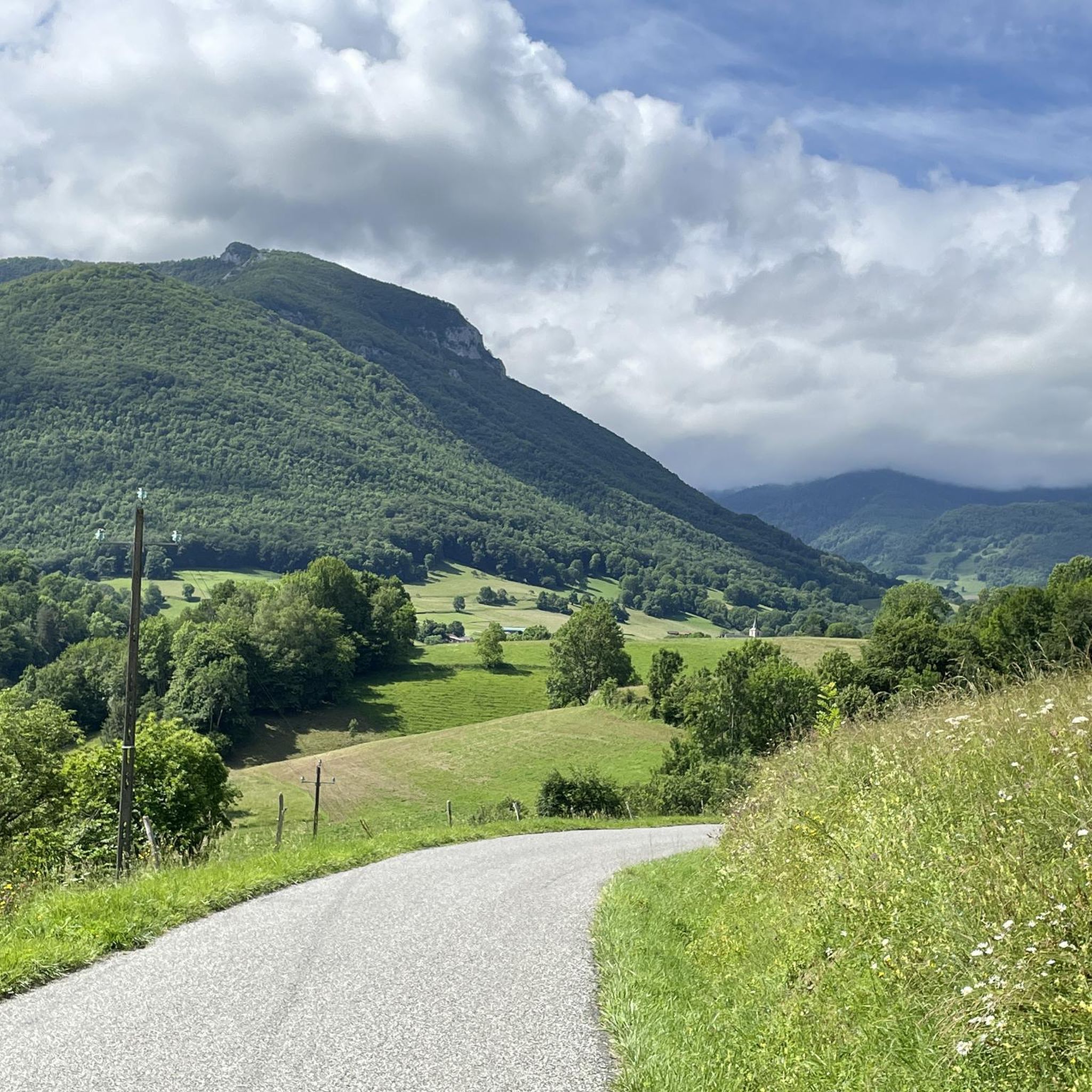
Along the Cap de la Bielle road is this charming church, ideal for a few minutes of rest and enjoying the payasse.
0
0
Very nice course with its small winding roads but well maintained and easy to ride all this embellished with magnificent views. Easier route starting from Nestier.
1
0
Frequently Asked Questions
How many hiking trails are available around Montoussé?
There are over 40 hiking routes around Montoussé, offering a diverse range of experiences. These include 11 easy trails, 25 moderate routes, and 7 more challenging options, catering to various fitness levels.
What makes hiking in Montoussé unique?
Hiking around Montoussé is characterized by its rolling hills, extensive forested areas, and captivating views that stretch towards the majestic Pyrenees mountains. The trails offer a pleasant mix of open landscapes and shaded woodland sections, shaped by the region's varied geology.
What do other hikers say about the trails in Montoussé?
The hiking routes in Montoussé are highly regarded by the komoot community, boasting an average rating of 4.3 stars from over 60 reviews. Hikers often praise the varied terrain and the scenic views, especially those of the Pyrenees.
Are there easy hiking trails suitable for beginners in Montoussé?
Yes, Montoussé offers 11 easy hiking trails perfect for beginners or those looking for a relaxed walk. An example is the Rue de Cap de la Vielle – Hautaget Church loop from Nestier, which is 4.2 miles (6.8 km) long and takes about 1 hour 55 minutes to complete through rural landscapes.
Are there challenging hikes for experienced trekkers in Montoussé?
For more experienced hikers, Montoussé provides 7 challenging routes. One such option is the View of the Pyrenees loop from Gazave, a difficult 4.9 miles (7.8 km) path that offers panoramic views of the Pyrenees mountains.
Can I find hikes with panoramic views of the Pyrenees in Montoussé?
Absolutely! Several routes in Montoussé offer stunning views of the Pyrenees. The View of the Pyrenees loop from Gazave and the View of the Pyrenees loop from Montsérié are both excellent choices for breathtaking mountain vistas.
Are there any circular hiking routes in Montoussé?
Yes, many of the trails around Montoussé are designed as circular routes, allowing you to start and end at the same point. Popular options include the Drinking Water loop from Lortet and the Arneille Peak loop from Hèches.
Are the hiking trails in Montoussé suitable for families with children?
Yes, many of the easier trails in Montoussé are suitable for families. The region's gentle paths through forests and rolling hills provide a pleasant environment for children to explore. Look for routes marked as 'easy' for the most family-friendly options.
Are dogs allowed on the hiking trails around Montoussé?
Generally, dogs are welcome on hiking trails in the Montoussé region, especially if kept on a leash. It's always a good idea to carry water for your pet and be mindful of local wildlife and other hikers. Specific restrictions might apply in certain protected areas, so always check local signage.
Where can I park when hiking in Montoussé?
Parking is typically available near the starting points of many popular trails and in the villages surrounding Montoussé, such as Lortet, Gazave, and Nestier. Look for designated parking areas or roadside spots where permitted. Always ensure you park responsibly and do not obstruct local access.
What are some interesting places to see or landmarks near the hiking trails in Montoussé?
While hiking around Montoussé, you can explore several interesting points of interest. Notable attractions include the historic Col de Coupe, the scenic Road of the Baronnies, and the fascinating Gargas Cave. These offer cultural and natural diversions to your hiking experience.
What is the best time of year to go hiking in Montoussé?
The best time for hiking in Montoussé is generally from spring to autumn (April to October). During these months, the weather is typically mild and pleasant, with lush greenery in spring and vibrant colors in autumn. Summer offers warmer temperatures, ideal for longer days on the trails.
Are there options for winter hiking in Montoussé?
Winter hiking in Montoussé is possible, especially on lower elevation trails, but conditions can vary. While the rolling hills may see less snow than the higher Pyrenees, some paths might be muddy or icy. Always check local weather forecasts and trail conditions before heading out, and ensure you have appropriate gear for colder temperatures.
Most popular routes around Montoussé
Most popular attractions around Montoussé

Get inspired with the komoot mobile app


Explore more
Browse the best Hikes in other regions.
