The best road cycling routes around Montsérié
4.6
(60)
3,893
riders
120
rides
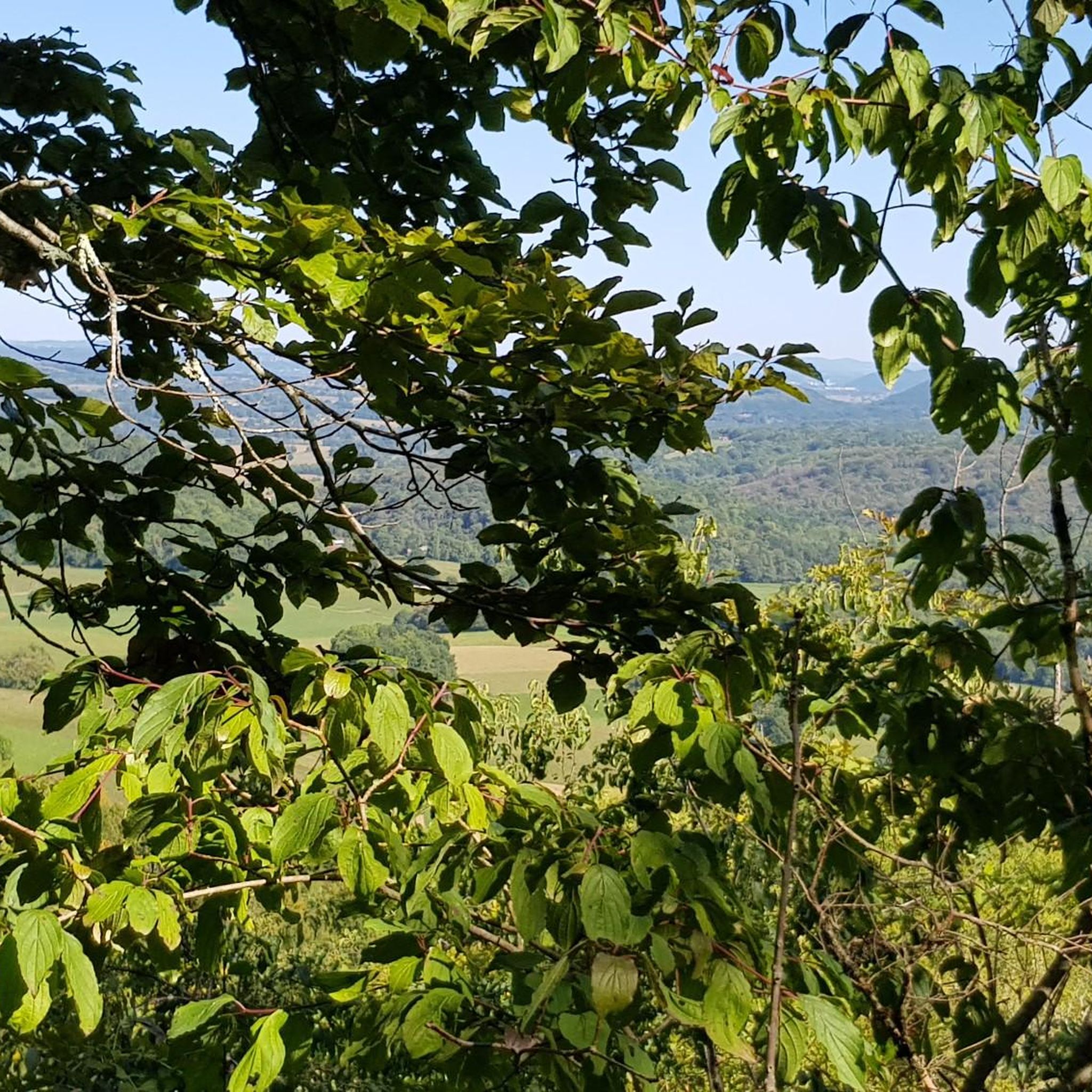
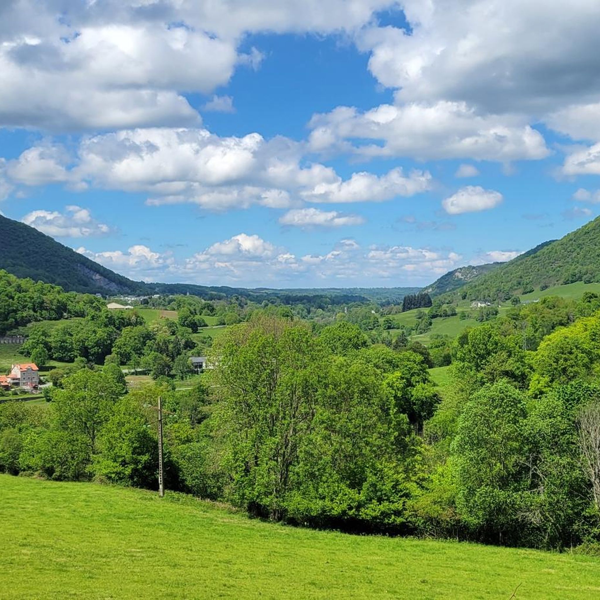
Road cycling around Montsérié, situated in the Hautes-Pyrénées department of southwestern France, provides access to varied and challenging terrain within the Pyrenees mountain range. The region features demanding ascents over mountain passes and more gentle, rolling landscapes. Cyclists can expect a mix of mountain vistas, verdant hills, and serene valleys.
Best road cycling routes around Montsérié
- The most popular road cycling route is Rock of the Virgin – Calvaire du Mont-Arès loop from Tuzaguet, a 20.0 miles (32.2 km) trail that takes 1 hour 35 minutes to complete. This route features moderate climbs through the local landscape.
- Another top favourite among local road cyclists is Rock of the Virgin – Dungeon church loop from Saint-Laurent-de-Neste, an easy 17.1 miles (27.5 km) path. This route offers a less strenuous ride through the area's rolling terrain.
- Local road cyclists also love the Izaourt – Basilica of Saint Just loop from Saint-Laurent-de-Neste, a 29.8 miles (48.0 km) trail leading through varied terrain with moderate elevation gain, often completed in about 2 hours 11 minutes.
- Road cycling around Montsérié is defined by mountain vistas, verdant hills, and challenging ascents within the Pyrenees. The network offers options for different ability levels, from easy rides to more demanding climbs.
- The routes in Montsérié are highly rated by the komoot community with an average score of 4.3 stars from more than 40 reviews. More than 1800 road cyclists have used komoot to explore Montsérié's varied terrain.
Last updated: July 2, 2026
18
riders
44.5km
02:01
490m
490m
Moderate road ride. Good fitness required. Mostly well-paved surfaces and easy to ride.
5.0
(1)
28
riders
65.0km
03:03
850m
850m
Moderate road ride. Good fitness required. Mostly well-paved surfaces and easy to ride.

Sign up for free
5.0
(1)
17
riders
47.4km
02:13
540m
540m
Moderate road ride. Good fitness required. Mostly well-paved surfaces and easy to ride.
7
riders
27.5km
01:16
280m
280m
Easy road ride. Great for any fitness level. Mostly well-paved surfaces and easy to ride.
5.0
(1)
7
riders
45.6km
02:03
420m
420m
Moderate road ride. Good fitness required. Mostly well-paved surfaces and easy to ride.
Get access to more routes and recommendations from other explorers.
Sign up for free
Already have an account?
Our route recommendations are based on thousands of hikes, rides, and runs completed by other people on komoot.
Start today with a free account
Your next adventure awaits.
Login or Signup



Tips from the Community


One of the first passes in the baronies to test yourself before attacking the mountain. Not very high percentage, superb view of the Pyrenees mountain range.
1
0

Lannemezan, although located at an altitude of 600 meters, has a mountain climate. This is due to the proximity of the Pyrenean chain. The mountains are clearly visible on a clear day. The town has some quite interesting buildings to discover, but above all it has first-rate natural areas due to its numerous waterways.
0
0

Small climb but nice and quiet, beautiful route and beautiful views
1
0

In the small village of Bazus is this atypical church with its fortified bell tower.
1
0
The Neste canal was created between 1848 and 1862 and put into service in 1863. With a capacity of 7 m3 / s, its purpose is to artificially supply the Gascon rivers originating on the Lannemezan plateau.
0
0
Superb, winding road to perfection but well maintained along or crossing many rivers. I love !
2
0
Menhir overhanging the Virgin Mary or reminder of the grotto of Lourdes, this small monument located at the edge of the road calls out to the passer-by.
1
0
Frequently Asked Questions
How many road cycling routes are available around Montsérié?
The Montsérié area offers a wide selection of road cycling routes, with over 120 options available. These routes cater to various skill levels, including easy, moderate, and difficult rides.
What kind of terrain can I expect when road cycling in Montsérié?
Road cycling around Montsérié, nestled in the Hautes-Pyrénées, features varied and challenging terrain. You'll encounter demanding ascents over mountain passes, as well as more gentle, rolling landscapes. The region is known for its breathtaking mountain vistas, verdant hills, and serene valleys, with gradients on some routes reaching 12-14%.
Are there routes suitable for beginners or those looking for an easier ride?
Yes, Montsérié offers several easier road cycling routes. For instance, the Rock of the Virgin – Dungeon church loop from Saint-Laurent-de-Neste is an easy 17.1-mile (27.5 km) path that provides a less strenuous ride through the area's rolling terrain. Overall, about 25 of the routes are classified as easy.
What about more challenging road cycling routes with significant elevation gain?
For cyclists seeking a challenge, Montsérié provides routes with significant elevation gain. The Pyrenees are famous for their legendary cols and demanding ascents. Approximately 28 routes in the area are classified as difficult, offering a physically demanding yet rewarding experience with steep gradients.
Can I find circular road cycling routes in the Montsérié area?
Yes, many of the road cycling routes around Montsérié are designed as loops, allowing you to start and finish in the same location. Examples include the popular Rock of the Virgin – Calvaire du Mont-Arès loop from Tuzaguet and the Izaourt – Basilica of Saint Just loop from Saint-Laurent-de-Neste.
What are some scenic viewpoints or natural features I might encounter on a ride?
The region offers numerous scenic spots. You might pass by the Col de Coupe, or enjoy a View of the Church and Castle Ruins of Hèches. The broader Pyrenean landscape features majestic peaks, lush forests, and natural wonders like the Gouffre d'Esparros and Grottes de Médous further afield.
Are there any historical or cultural landmarks accessible by road bike?
While specific routes may vary, the area surrounding Montsérié is rich in cultural heritage. You can explore significant sites like the St-Bertrand-de-Comminges cathedral and the ancient Gallo-Roman Villa of Montmaurin, which are often accessible via the region's road network.
What is the best time of year for road cycling in Montsérié?
The Pyrenees region generally offers excellent cycling conditions from spring through autumn. Summer provides warmer temperatures, while spring and autumn offer cooler weather and vibrant landscapes. Always check local weather forecasts, especially for mountain passes, as conditions can change rapidly.
Is public transport an option for accessing road cycling routes in Montsérié?
While Montsérié itself is a small commune, the Hautes-Pyrénées department has some public transport options. However, direct access to specific road cycling route starting points by public transport might be limited. It's advisable to check local bus or train schedules for nearby larger towns like Saint-Laurent-de-Neste and plan your route accordingly.
Where can I park my car when starting a road cycling route in Montsérié?
Parking availability will depend on your chosen starting point. In smaller villages like Montsérié or Saint-Laurent-de-Neste, you can typically find public parking areas. For specific routes, it's recommended to check the route details on komoot or local signage for designated parking spots near the trailhead or starting village.
What do other cyclists say about road cycling in Montsérié?
The road cycling routes in Montsérié are highly rated by the komoot community, with an average score of 4.3 stars from over 40 reviews. More than 1800 road cyclists have used komoot to explore the varied terrain, often praising the challenging ascents, scenic views, and diverse options for different ability levels.
Are there any long-distance road cycling options near Montsérié?
Montsérié's location within the Pyrenees provides excellent access to longer road cycling adventures. Many routes, such as the Road of the Baronnies – Abbaye de l'Escaladieu loop from Saint-Laurent-de-Neste, extend for over 40 miles (65 km) and offer significant elevation, making them suitable for longer rides. The broader Pyrenees region is renowned for its extensive network of challenging long-distance routes.
Most popular attractions around Montsérié

Get inspired with the komoot mobile app


Explore more
Browse the best Road cycling routes in other regions.
