The best mountain hikes around Urrugne
5.0
(4)
12
hikers
5
hikes
Mountaineering around Urrugne offers diverse landscapes, situated between the Pyrenean mountains and the Atlantic coast. The region encompasses the foothills of the Pyrenees, providing access to peaks like La Rhune, which rises to 901 meters. Mountaineers can explore varied terrain, including the Ibardin Mountains, tranquil Lake Xoldokogaina, and the coastal paths of the Basque Corniche.
Best mountaineering routes around Urrugne
- The most popular mountaineering route is Txurrumurru Summit Sculpture loop from Endara, a 5.7 miles (9.2 km) trail that takes 4 hours to complete. This difficult route features significant elevation gain towards the summit.
- Another top favourite among local mountaineers is Larhun – Sugizeaga loop from Manttu Baïta, a moderate 6.5 miles (10.5 km) path. This route offers views of the iconic La Rhune mountain.
- Local mountaineers also love the Mountaineering loop from Irun, a 4.6 miles (7.4 km) trail leading through varied terrain, often completed in about 2 hours 15 minutes.
- Mountaineering around Urrugne is defined by Pyrenean foothills, coastal paths, and mountain lakes. The network offers options for different ability levels, from moderate ascents to more difficult summit challenges.
- The routes in Urrugne are highly rated by the komoot community with an average score of 4.97 stars from over 15 reviews. More than 50 mountaineers have used komoot to explore Urrugne's varied terrain.
Last updated: July 2, 2026
5
hikers
11.0km
04:25
530m
530m
Moderate mountaineering route. Good fitness required. Mostly accessible paths. Sure-footedness required.
5.0
(1)
2
hikers
13.6km
05:19
800m
800m
Hard mountaineering route. Very good fitness required. Sure-footedness, sturdy shoes and alpine experience required.

Sign up for free
5.0
(3)
2
hikers
Moderate mountaineering route. Good fitness required. Mostly accessible paths. Sure-footedness required.
2
hikers
4.26km
01:55
310m
310m
Hard mountaineering route. Good fitness required. Sure-footedness, sturdy shoes and alpine experience required.
1
hikers
12.0km
03:50
480m
470m
Moderate mountaineering route. Good fitness required. Easily-accessible paths. Suitable for all skill levels.
Our route recommendations are based on thousands of hikes, rides, and runs completed by other people on komoot.
Start today with a free account
Your next adventure awaits.
Login or Signup
Popular around Urrugne
Hexatrek, the western and central Pyrenees – Between mountains and the ocean
A land rich in character – running in the Basque Country
Promising paths - Trail running in the Basque Pyrenees
The coast to the mountains – the best hikes in Spain’s Basque Country
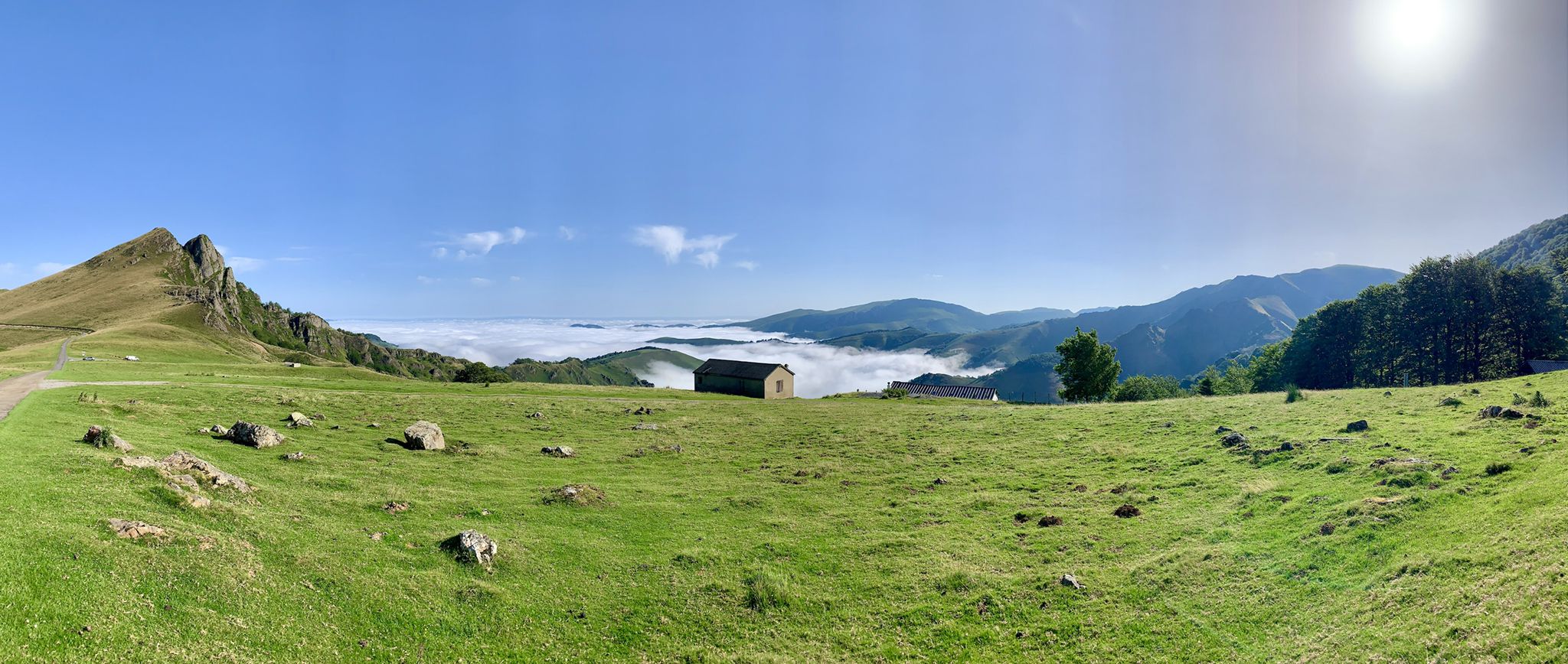
The Western Pyrenees – crossing the Pyrenees on the GR 10
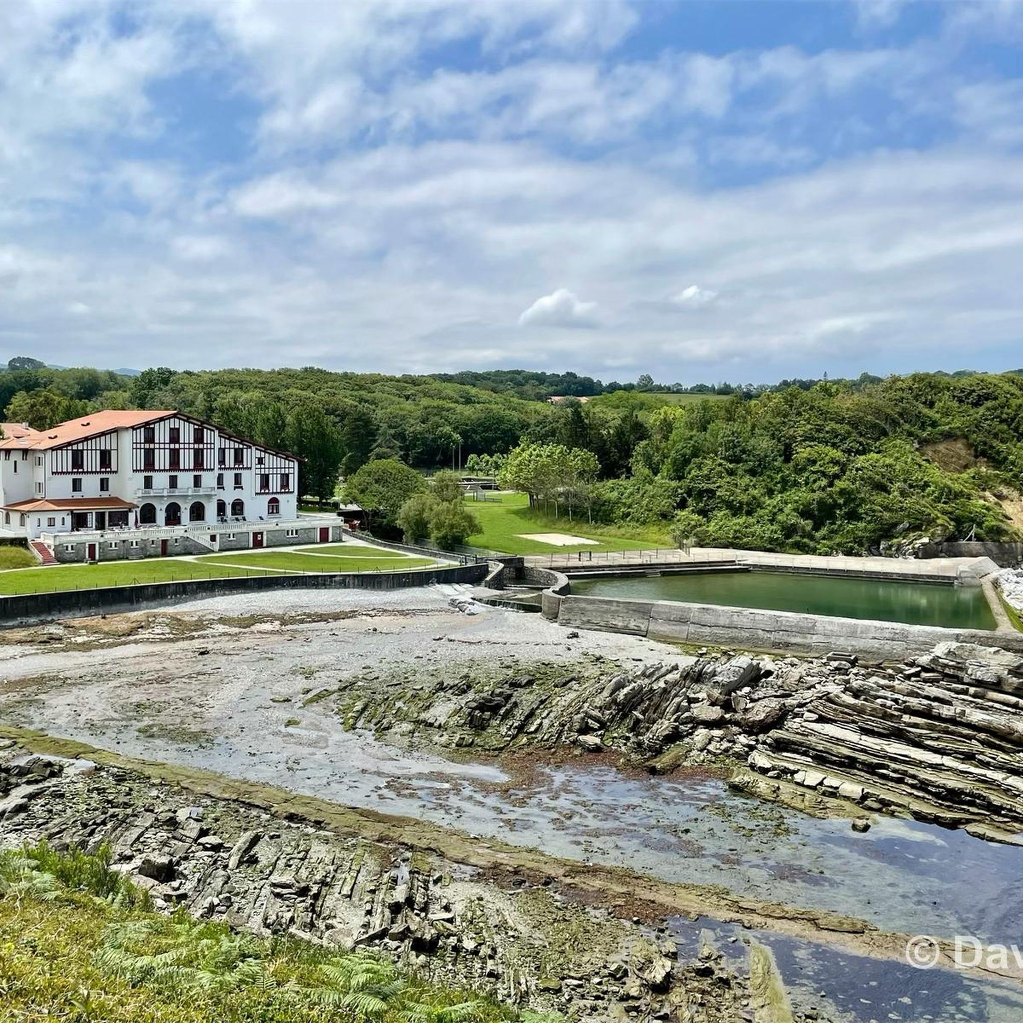
Running Trails around Urrugne
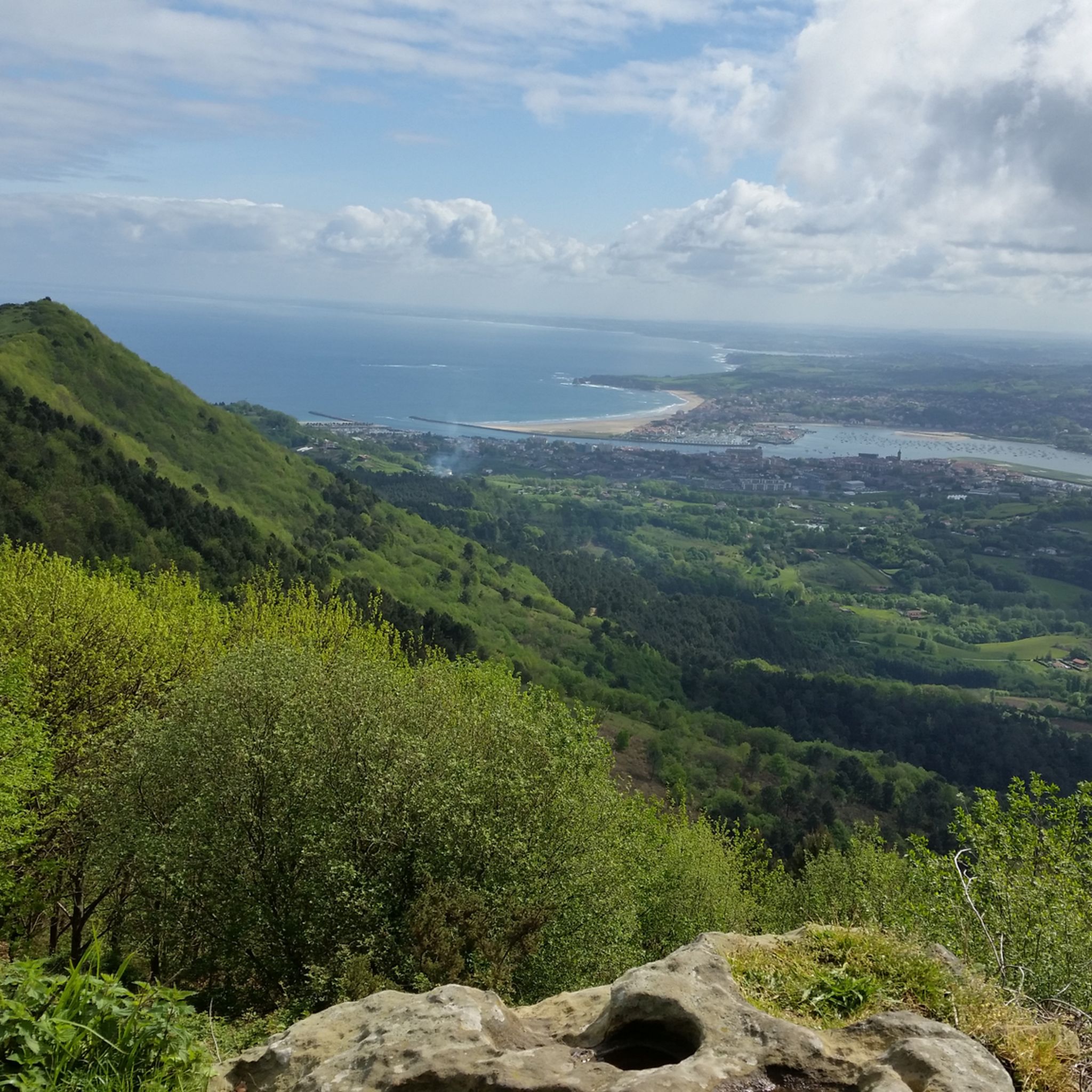
Hiking around Urrugne
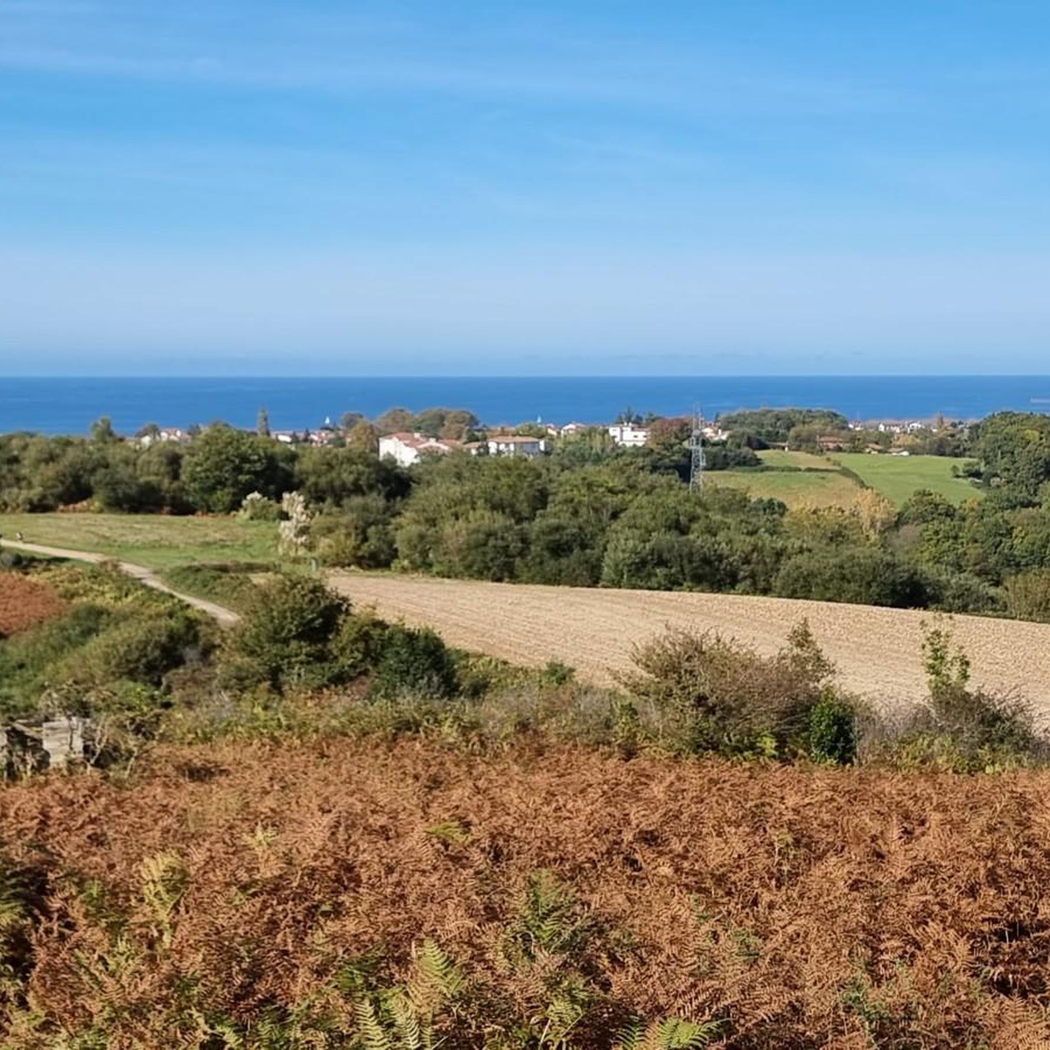
Cycling around Urrugne
MTB Trails around Urrugne
Road Cycling Routes around Urrugne
Other adventures around Urrugne


Tips from the Community

Caution! Approaching Irumugarrieta Peak from the south, you have to climb a serious, vertical wall. Unfortunately, with a dog, we had to give up here and fought our way down cross-country through the undergrowth. The other way around, it probably won't work with a dog even without abseiling. The tour is still very beautiful, but I wouldn't do the special descent again.
1
0

Near the end of the stream section, the concrete blocks covering the stream are as of September 2025 completely missing, leaving you two options forward: 1) walk on a 20cm wide path right next to a big cliff, 2) walk inside of the stream bed, knee-deep in water. We decided to turn back because it did not seem safe for us. Caution recommended!
1
0


From this pass, several mountain bike options are available.
0
0

From this hill we see the summit of Pic d'Ibantelly to our left, the French town of Sare at our feet, and Peña Plata to our right.
0
0
nice pass there are 2 climbs not long but between 12/14% approximately
0
0

The bivouac room is open. Rainproof seating is provided in front. (April 2025)
0
0
Frequently Asked Questions
How many mountaineering routes are available around Urrugne?
Urrugne offers several distinct mountaineering routes, with a total of 8 documented tours. These range from moderate to difficult, providing options for various skill levels.
Are there any beginner-friendly mountaineering routes in Urrugne?
While many routes in Urrugne are moderate to difficult, some offer a less strenuous introduction to the region's beauty. For example, the Mountaineering loop from Irun is a moderate 7.4 km trail that can be completed in about 2 hours 15 minutes, making it a good option for those looking for a shorter, less challenging experience.
What are some challenging mountaineering routes for experienced climbers?
For experienced mountaineers seeking a challenge, the region offers difficult routes with significant elevation gain. Consider the Txurrumurru Summit Sculpture loop from Endara, a 9.2 km trail with over 550 meters of ascent, typically taking around 4 hours. Another demanding option is the Pilotalekugaña – Larhun loop from Alkegiberea, which spans 13.2 km and features nearly 800 meters of elevation gain.
Can I find circular mountaineering routes in Urrugne?
Yes, many of the mountaineering routes around Urrugne are designed as loops, allowing you to start and finish at the same point. Examples include the Larhun – Sugizeaga loop from Manttu Baïta, which offers views of La Rhune, and the Aritxulegi loop from Lasaingana, both providing scenic circular journeys.
What kind of wildlife might I encounter on the trails?
The Pyrenean foothills around Urrugne are home to diverse wildlife. Keep an eye out for Manex sheep and griffon vultures soaring overhead. You might also spot the robust 'pottok,' small Basque horses that roam freely in the mountains, especially around areas like La Rhune.
Are there any notable landmarks or attractions along the mountaineering routes?
Absolutely! The routes often pass by or offer views of significant natural and cultural landmarks. You can explore the serene Lake Xoldokogaina in the Ibardin Mountains, or ascend La Rhune for exceptional 360-degree panoramic views. Some routes also lead near interesting highlights such as the Zugarramurdi Cave or the beautiful Aitzondo Waterfall. For those interested in mountain shelters, highlights like Gîte Trapero Baita are also nearby.
What is the best time of year for mountaineering in Urrugne?
The region's climate, influenced by both the Pyrenees and the Atlantic, generally makes spring and autumn ideal for mountaineering. During these seasons, temperatures are milder, and the landscapes are vibrant. Summer can also be pleasant, especially at higher altitudes, but be prepared for warmer conditions. Winter mountaineering is possible but requires appropriate gear and awareness of snow conditions.
What do other mountaineers enjoy most about the routes in Urrugne?
The mountaineering routes in Urrugne are highly rated by the komoot community, with an average score of 4.97 stars from over 15 reviews. Reviewers often praise the diverse landscapes, from the dramatic Pyrenean foothills to the stunning coastal views, and the variety of trails catering to different abilities.
Is there public transport access to the starting points of mountaineering routes?
While Urrugne is a village, public transport options to specific trailheads can be limited. It's advisable to check local bus schedules for connections to areas like Olhette or Ibardin, which serve as starting points for some popular routes. However, for maximum flexibility, driving to the trailheads is often the most convenient option.
Where can I find parking for mountaineering trails in Urrugne?
Many popular trailheads, especially those leading to well-known areas like La Rhune or the Ibardin Mountains, typically have designated parking areas. It's recommended to research specific route starting points in advance to confirm parking availability and any potential fees.
Are there any huts or shelters along the mountaineering routes for breaks or overnight stays?
Yes, the region has several huts and shelters that can be useful for breaks or, in some cases, overnight stays. Examples include Lizarrietako lepoa, Benta Beltza Shelter, and Bergerie Ikatzborda. Always check their accessibility and whether reservations are required, especially for overnight stays.
Most popular routes around Urrugne
Most popular attractions around Urrugne

Get inspired with the komoot mobile app


Explore more
Browse the best Mountain Hikes & Routes in other regions.
