The best walks and hikes around Biriatou
4.5
(691)
4,359
hikers
23
hikes
Hiking around Biriatou offers a diverse landscape characterized by rolling hills, forested paths, and views towards the Pyrenees foothills and nearby lakes. The region features a mix of challenging ascents to summits and gentler trails around natural features. Terrain includes rocky sections, open pastures, and wooded areas, providing varied conditions for hikers.
Best hiking trails around Biriatou
- The most popular hiking route is Manttale Summit – View of Lake Xoldokogaina loop from Biriatou, a 10.9 miles (17.6 km) trail…
Last updated: May 12, 2026
4.8
(45)
343
hikers
17.6km
06:02
680m
680m
Hard hike. Very good fitness required. Sure-footedness, sturdy shoes and alpine experience required.
4.3
(17)
175
hikers
8.79km
03:13
470m
470m
Moderate hike. Good fitness required. Mostly accessible paths. Sure-footedness required.

Sign up for free
45
hikers
15.6km
05:05
620m
620m
Hard hike. Very good fitness required. Sure-footedness, sturdy shoes and alpine experience required.
4.6
(7)
34
hikers
4.47km
01:33
190m
190m
Moderate hike. Great for any fitness level. Mostly accessible paths. Sure-footedness required.
5.0
(1)
41
hikers
5.50km
02:27
450m
450m
Moderate hike. Good fitness required. Mostly accessible paths. Sure-footedness required.
Get access to more routes and recommendations from other explorers.
Sign up for free
Already have an account?
Our route recommendations are based on thousands of hikes, rides, and runs completed by other people on komoot.
Start today with a free account
Your next adventure awaits.
Login or Signup
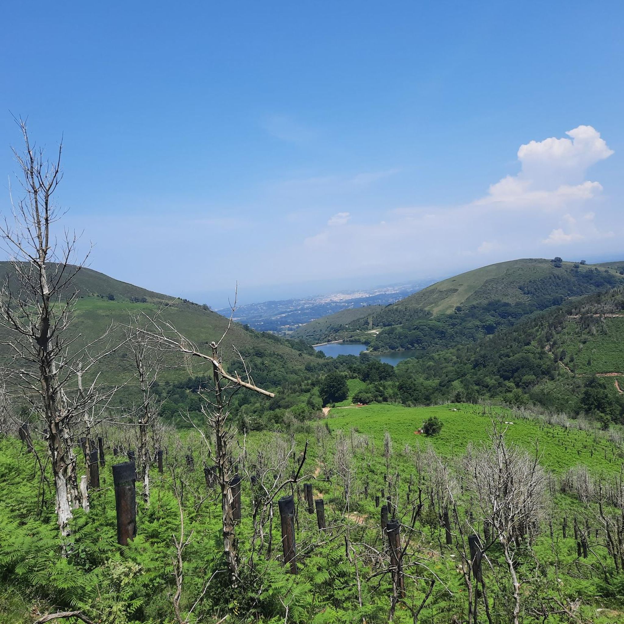
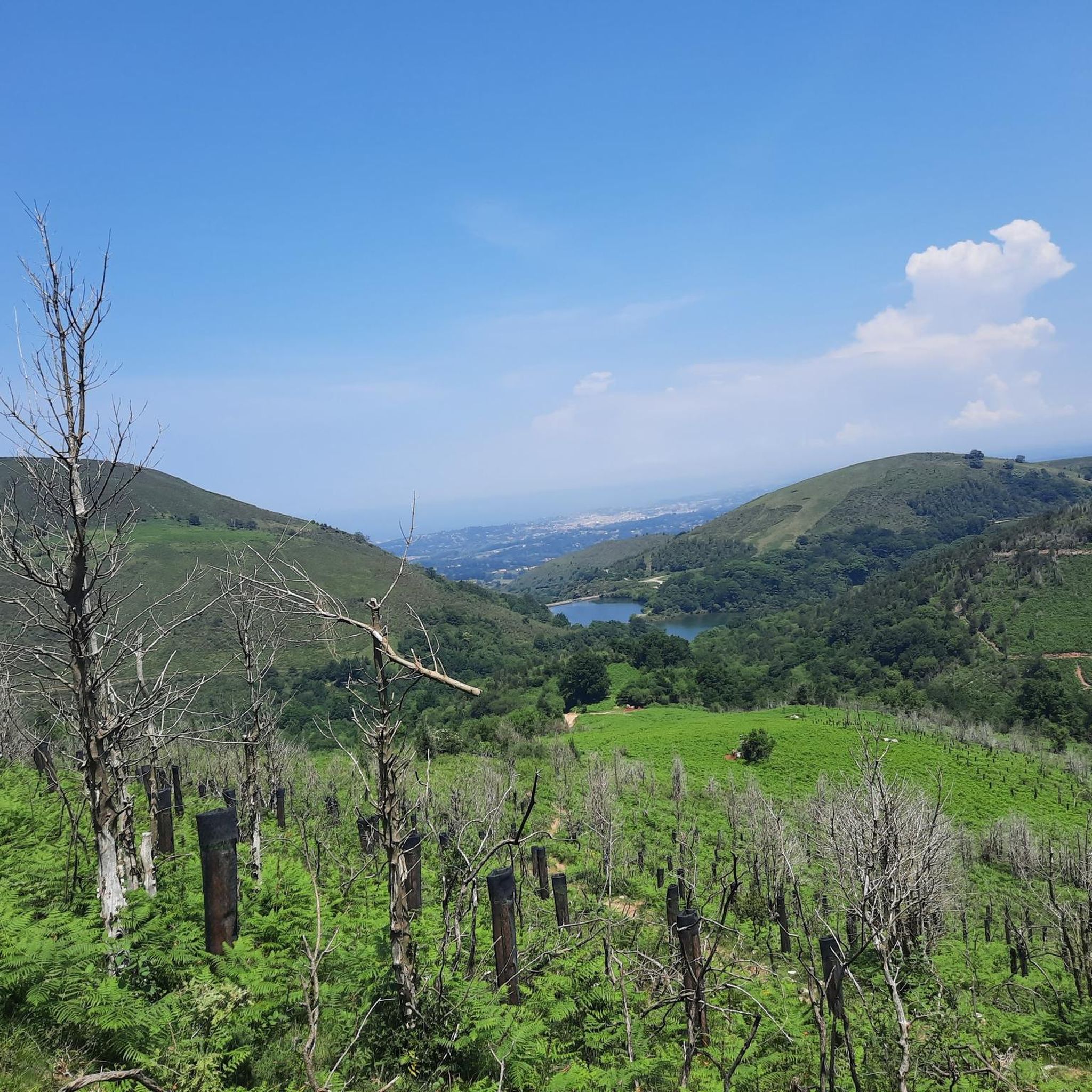
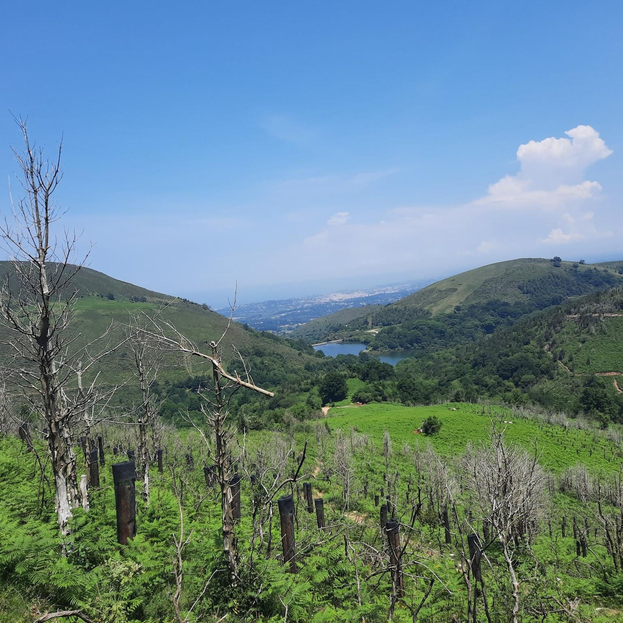
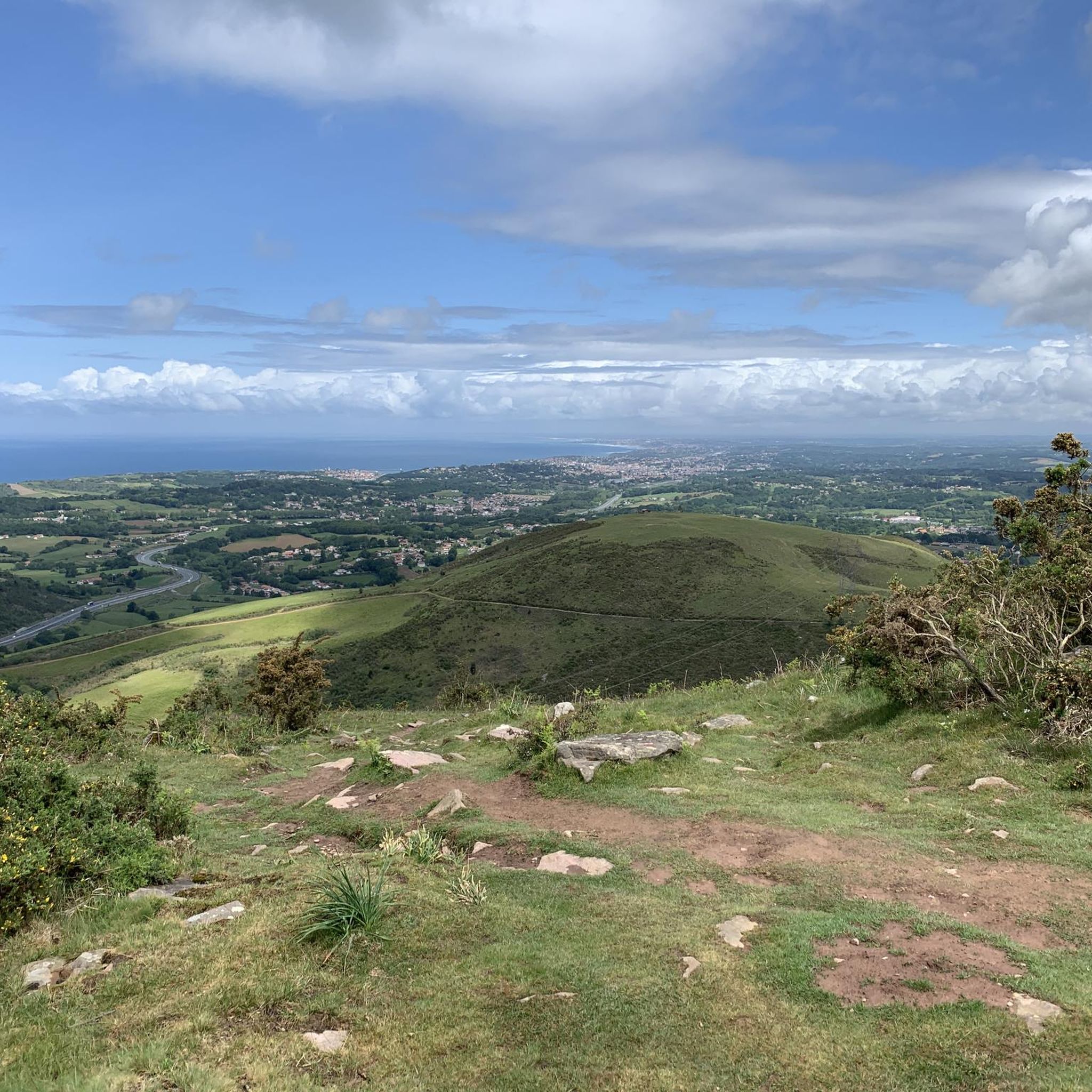


Tips from the Community

Very beautiful Stele followed by an Ocean / Mountain panorama
0
0

An emblematic summit of the region, the Rhune is visible from many places. This one allows you to admire it in all its splendor.
1
1

Tip top lake for a picnic break, be careful when we arrived the water level was low in the middle of summer, but not too many mosquitoes and plenty of shade to rest by the water
0
0


Overlooks the ocean on the Hendaye side
0
0

Culminating at an altitude of 574 meters, this border summit offers large open panoramas of the Atlantic coast and the first Basque mountains.
1
1

Small land "beach" on the lake, perfect for taking a break in the shade of the trees and at the water's edge
2
1

Shops, French and Spanish restaurants, on the edge of the border,
2
1
Frequently Asked Questions
How many hiking trails are available around Biriatou?
There are over 20 hiking trails around Biriatou, offering a range of difficulties from easy strolls to challenging summit ascents. The komoot community has explored more than 20 routes in the area.
Are there any easy or family-friendly walks in Biriatou?
Yes, Biriatou offers several easier routes suitable for families. For a moderate option that's not too long, consider the Roches des Perdrix – Partridge Rock loop from Biriatou, which is about 2.8 miles (4.5 km) long and takes around 1 hour 30 minutes. It offers pleasant views without significant elevation gain.
Can I find circular hiking routes in Biriatou?
Many of the trails around Biriatou are designed as loops, allowing you to start and end at the same point. A popular moderate circular route is the Chapel of Mount Calvary – Xoldoko Gaïna loop from Biriatou, which covers 3.8 miles (6.1 km) and passes historical points of interest.
Are there trails with scenic viewpoints in the Biriatou area?
Absolutely. The region is known for its panoramic views. The View of Lake Xoldokogaina – View of the Rhune loop from Biriatou offers expansive vistas, including the iconic La Rhune. For higher elevations, the Manttale Summit – View of Lake Xoldokogaina loop from Biriatou provides significant elevation gain and stunning panoramic views from Manttale Summit.
What kind of natural attractions can I see along the hiking trails?
Biriatou's trails often feature diverse natural beauty. You can find beautiful lake views, such as those around Lake Xoldokogaina. There's also the Uzkaingo Erreka Waterfall, which can be a refreshing sight on your hike.
Are there any historical landmarks or points of interest near the hiking routes?
Yes, the area has several notable landmarks. The Ermita de Guadalupe is a significant religious building, and the Saint-Ignace Pass is a well-known mountain pass in the region. Some trails, like the Chapel of Mount Calvary loop, pass directly by historical sites.
What is the best season for hiking in Biriatou?
The best seasons for hiking in Biriatou are generally spring and autumn, when the weather is mild and the landscapes are vibrant. Summer can also be pleasant, especially in the mornings or late afternoons, though some trails might be more exposed to the sun. Winter hiking is possible, but higher elevations may require appropriate gear due to colder temperatures.
What do other hikers enjoy most about the trails in Biriatou?
The hiking trails around Biriatou are highly rated by the komoot community, with an average score of 4.5 stars from over 600 reviews. Hikers frequently praise the diverse landscapes, from rolling hills and forested paths to challenging summit ascents, and the beautiful views towards the Pyrenees foothills and nearby lakes.
Are there less crowded hiking options around Biriatou?
While some popular routes can see more foot traffic, many of Biriatou's 20+ trails offer a sense of tranquility. To find quieter paths, consider exploring some of the moderate routes that venture deeper into the forested areas or those slightly off the main tourist circuits. Early mornings or weekdays are also good times to avoid crowds.
What should I wear for hiking in Biriatou?
Given the varied terrain and potential for changing weather, it's best to wear layers. Sturdy hiking boots are recommended for rocky sections and varied paths. Always check the local weather forecast before heading out, and consider bringing rain gear, even on sunny days, as conditions in the Pyrenees foothills can change quickly.
Are there any trails that feature lakes or water bodies?
Yes, the region is characterized by scenic lake views. Many trails offer glimpses of or pass directly by Lake Xoldokogaina. You can also find the Endara-San Anton Reservoir nearby, providing additional water features to enjoy during your hike.
Are there any accessible hiking trails for people with limited mobility?
While many trails in Biriatou feature varied terrain, including rocky sections and elevation changes, there are generally easier paths that might be more suitable. For specific accessible routes, it's recommended to check individual trail descriptions on komoot for details on surface type and gradient, as dedicated accessible infrastructure may vary.
Most popular routes around Biriatou
Most popular attractions around Biriatou

Get inspired with the komoot mobile app


Explore more
Browse the best Hikes in other regions.
