The best walks and hikes around Saint-Martin-D'Arrossa
4.5
(1472)
11,086
hikers
14
hikes
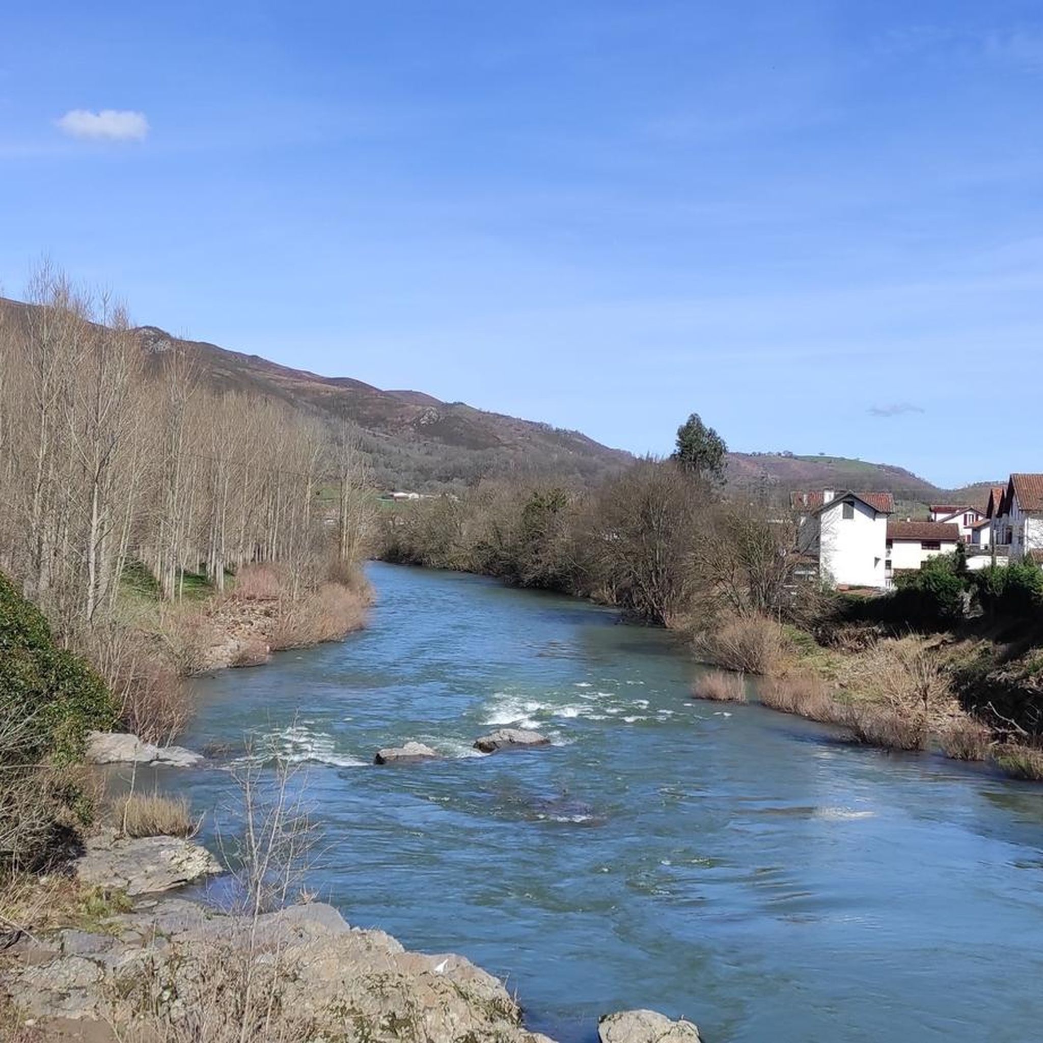
Hiking around Saint-Martin-D'Arrossa offers access to the French Basque Country's diverse terrain. The region is situated at the foot of the Larla and Jara peaks, providing direct access to the Pyrenees mountains. The landscape features a mix of forests, open hillsides, and historical elements like old iron mines. Hikers can expect varied terrain, from well-trodden paths to more rugged trails along mountain flanks.
Best hiking trails around Saint-Martin-D'Arrossa
- The most popular hiking route is Pic de Larla – The iron mine loop from Saint-Martin-d'Arrossa, a 7.5 miles (12.1 km) moderate trail that takes 4 hours 17 minutes to complete. This route allows for discoveries related to the Larla.
- Another top favourite among local hikers is Jara's summit – Jara (812 m) loop from Saint-Martin-d'Arrossa, a difficult 7.8 miles (12.6 km) path. The Jara summit offers views of the surrounding area, including Baigorri and the Nive valley.
- Local hikers also love the Lexudoko Ridge (724 m) loop from Saint-Martin-d'Arrossa, a 6.4 miles (10.3 km) trail leading through varied terrain, often completed in about 4 hours 15 minutes.
- Hiking around Saint-Martin-D'Arrossa is defined by Pyrenean foothills, prominent peaks like Larla and Jara, and the Lexudoko Ridge. The network offers options for different ability levels, from moderate paths to more challenging ascents.
- The routes in Saint-Martin-D'Arrossa are highly rated by the komoot community with an average score of 4.5 stars from more than 1300 reviews. More than 10000 hikers have used komoot to explore Saint-Martin-D'Arrossa's varied terrain.
Last updated: June 25, 2026
4.6
(25)
174
hikers
12.1km
04:18
700m
690m
Moderate hike. Good fitness required. Mostly accessible paths. Sure-footedness required.
4.7
(9)
70
hikers
17.8km
06:25
700m
700m
Hard hike. Very good fitness required. Mostly accessible paths. Sure-footedness required.

Sign up for free
4.8
(5)
24
hikers
23.9km
09:15
1,320m
1,320m
Hard hike. Very good fitness required. Sure-footedness, sturdy shoes and alpine experience required.
4.3
(3)
26
hikers
10.1km
03:25
510m
510m
Moderate hike. Good fitness required. Easily-accessible paths. Suitable for all skill levels.
5.0
(1)
23
hikers
6.15km
02:11
350m
350m
Moderate hike. Good fitness required. Mostly accessible paths. Sure-footedness required.
Get access to more routes and recommendations from other explorers.
Sign up for free
Already have an account?
Our route recommendations are based on thousands of hikes, rides, and runs completed by other people on komoot.
Start today with a free account
Your next adventure awaits.
Login or Signup
Popular around Saint-Martin-D'Arrossa
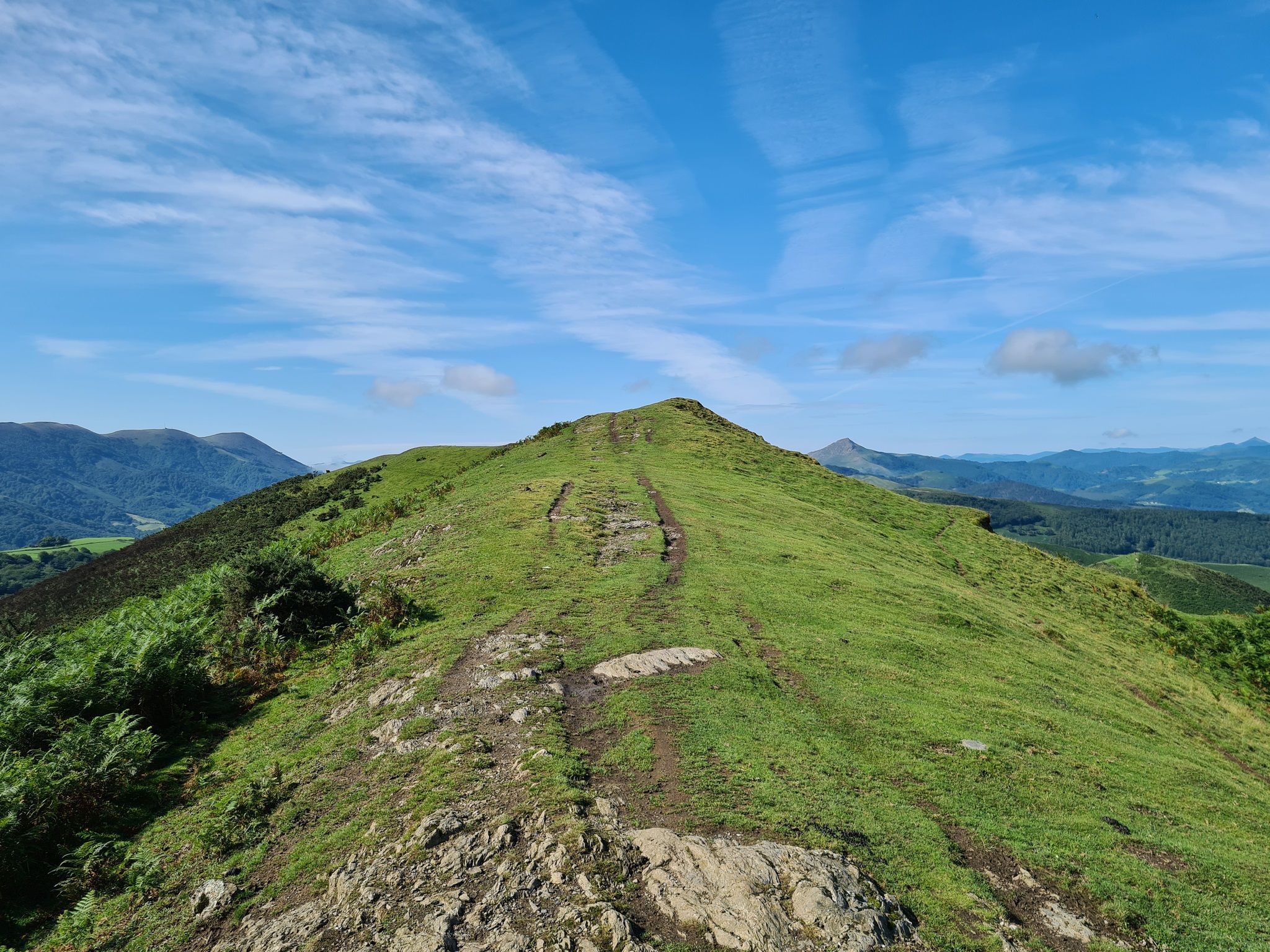
The Pyrenees to Biscay — La Grande Traversée MTB du Pays Basque
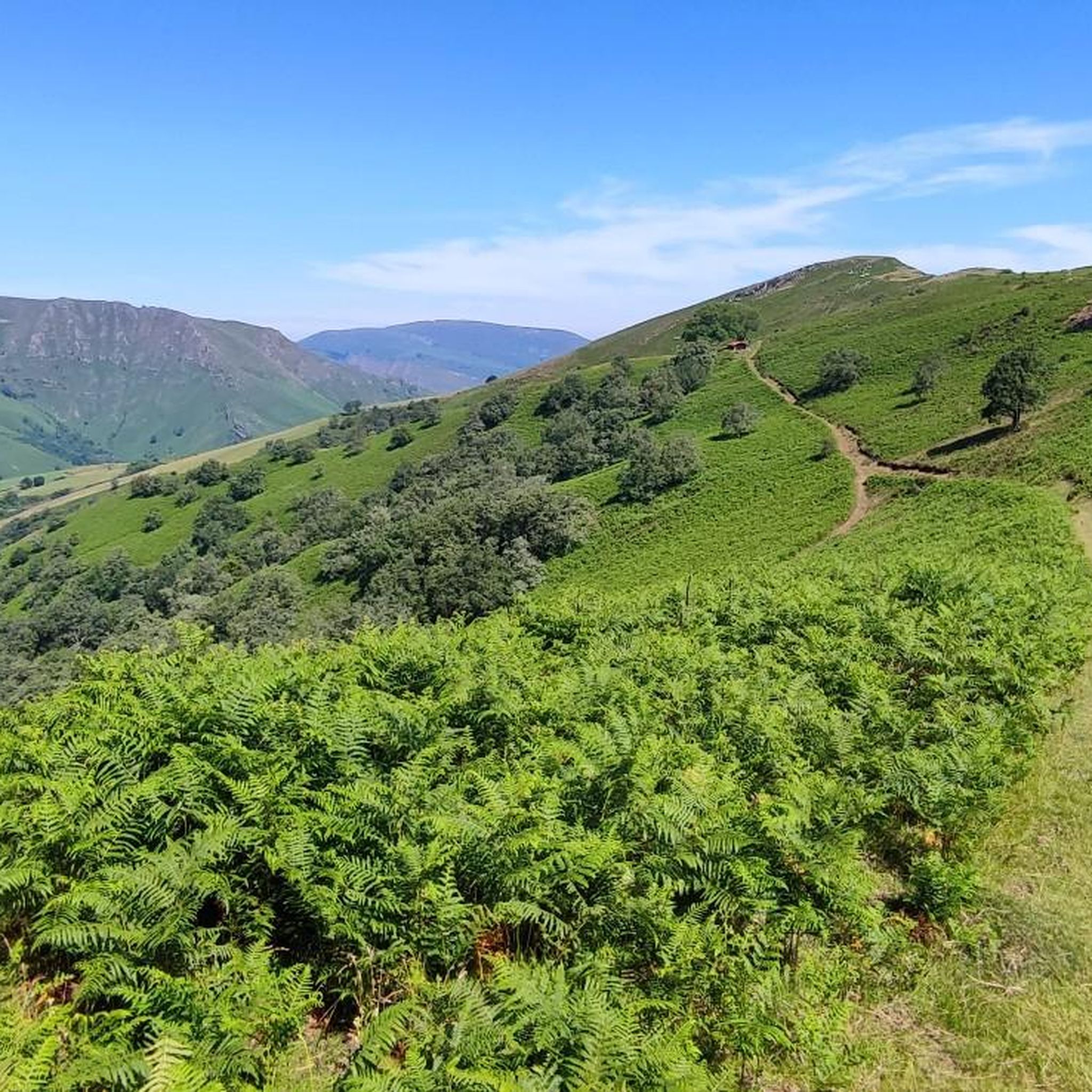
Road Cycling Routes around Saint-Martin-D'Arrossa
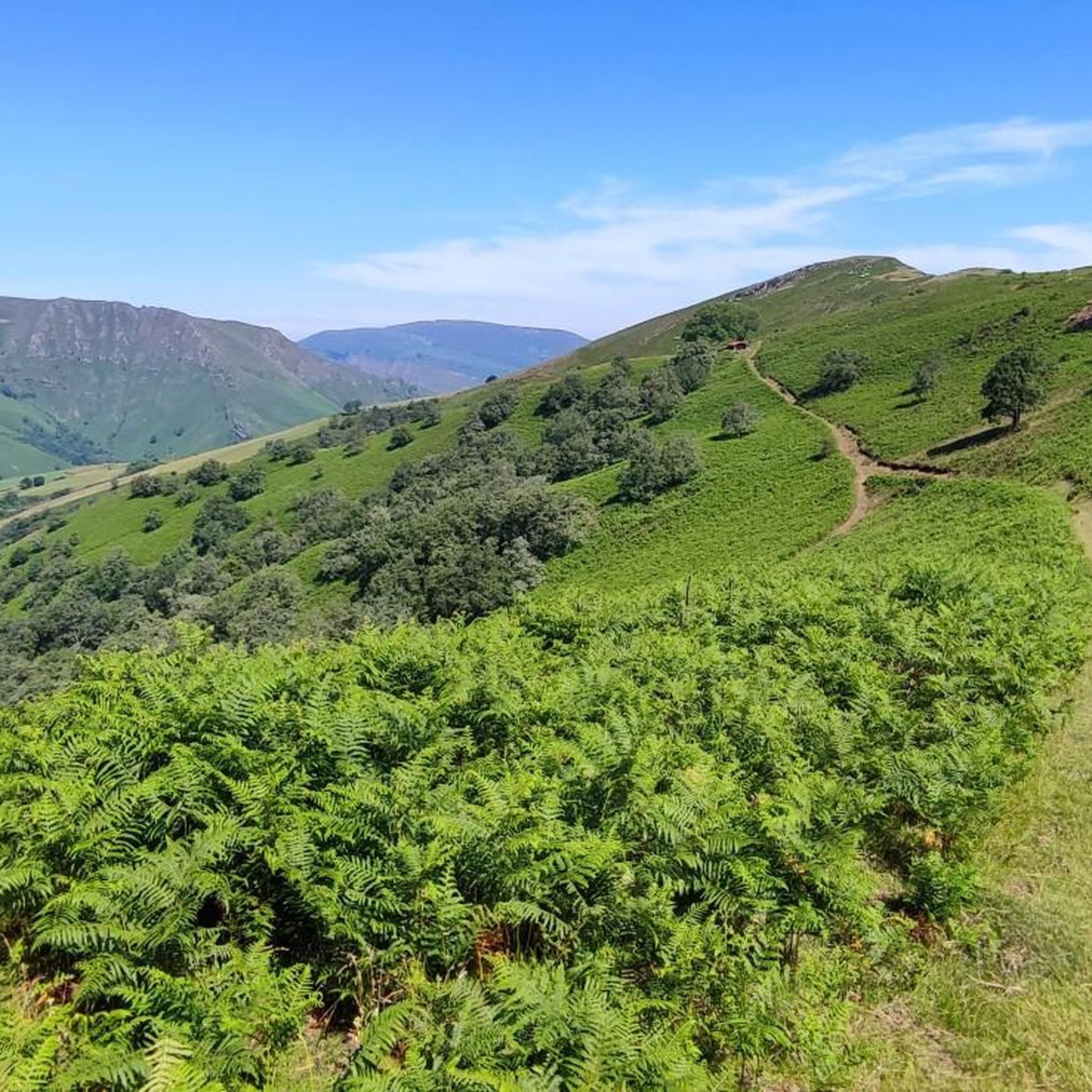
Cycling around Saint-Martin-D'Arrossa
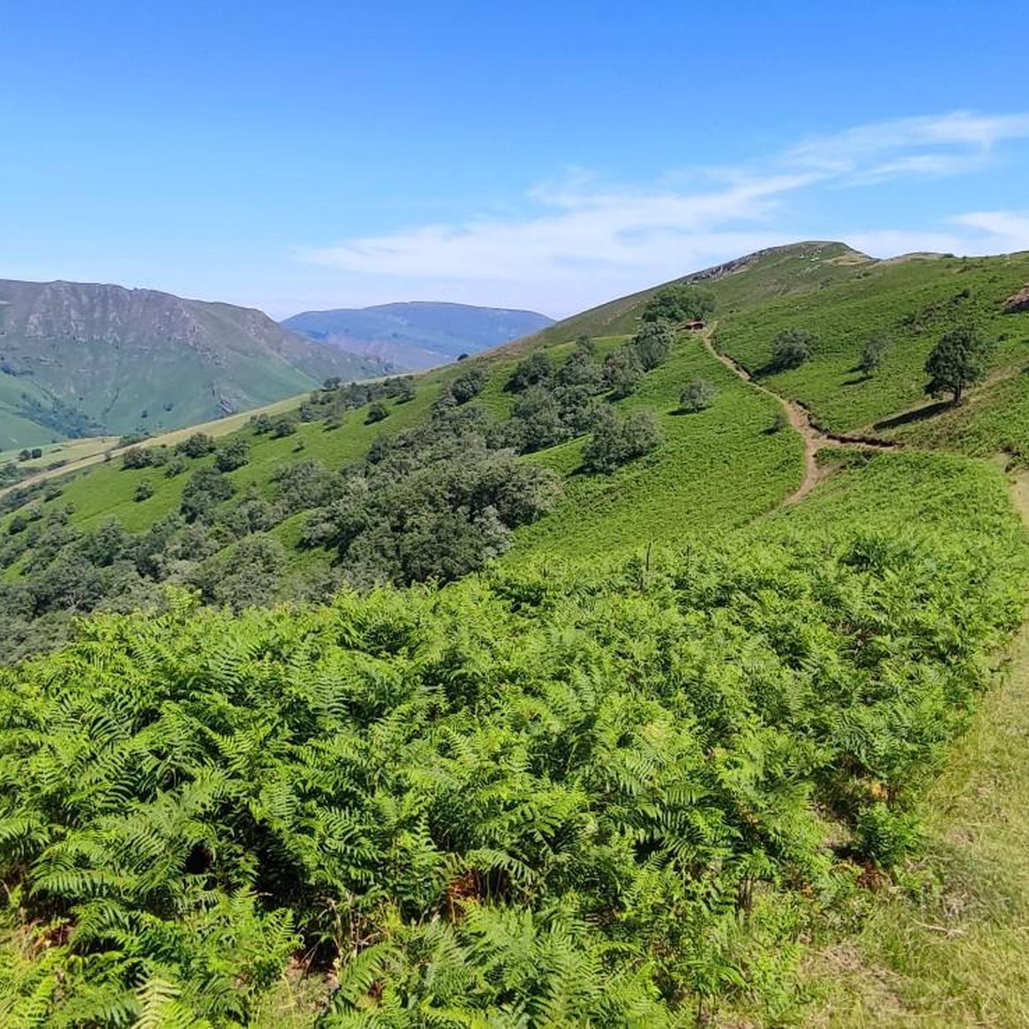
MTB Trails around Saint-Martin-D'Arrossa
Running Trails around Saint-Martin-D'Arrossa

Gravel biking around Saint-Martin-D'Arrossa

Mountain Hikes around Saint-Martin-D'Arrossa
Other adventures around Saint-Martin-D'Arrossa

Tips from the Community

Very beautiful hike, quite difficult, it climbs steeply from the start. Superb view of the Pyrenees, mountains and the Basque coast. Variant on this route, going up, turn right before starting the ascent along the ridge line... easier. End of hike, poorly described with a return to the village very far from the fronton parking lot. D or my turn back at the end. Have a good hike 🥾🌶️⛰️
0
0


Culminating at 962 meters, Larrateko Egia is located on the GR 10 path towards Iparla. In addition to offering a breathtaking panorama of the Basque Country, the summit gives an overview of the verticality of the Iparla ridges.
1
0

Parking... and after the tour in the beer garden
2
0
The peak of Iparla dominates the ridges of the same name, culminating at 1,044 meters above sea level. This magnificent natural wall symbolizes the separation between France and Spain. From the village of Bidarray the ascent is gradual without too much difficulty along the ridge.
4
0
Perched on its rocky promontory, the small village of Bidarray offers magnificent views of the mountains that surround it. Nestled at the foot of the Iparla ridges, Bidarray is on the GR 10 path and offers plenty of supplies.
3
0
Perched on its rocky promontory, the small village of Bidarray offers magnificent views of the surrounding mountains. Nestled at the foot of the ridges of Iparla, Bidarray, is on the way to the GR 10 and offers something to refuel.
1
0

An impressive cliff. As you get closer to the void, you feel a current of air pushing you upwards
3
0
Frequently Asked Questions
What natural features or landmarks can I expect to see while hiking in Saint-Martin-D'Arrossa?
The region is characterized by its proximity to the Pyrenees, with prominent peaks like Larla and Jara. You'll encounter varied terrain including forests, open hillsides, and historical elements such as old iron mines. Notable landmarks include the Iparla Peak and the Roland's Pass, offering dramatic scenery.
What is the best time of year to go hiking in Saint-Martin-D'Arrossa?
Saint-Martin-D'Arrossa benefits from a mild oceanic climate, with summer averages around 25°C. This makes it comfortable for hiking throughout much of the year, though spring and autumn offer particularly pleasant temperatures and vibrant landscapes.
Are there any easy hiking trails suitable for beginners or those looking for a less strenuous walk?
While many trails in Saint-Martin-D'Arrossa are rated moderate to difficult, there are options that can be adapted for varying fitness levels. For instance, the Lexudoko Ridge (724 m) loop from Saint-Martin-d'Arrossa is a moderate 10.3 km trail that offers rewarding views without extreme difficulty, typically taking around 4 hours 15 minutes.
What is the typical duration of hikes in the Saint-Martin-D'Arrossa area?
Hikes in Saint-Martin-D'Arrossa vary in length and duration. For example, the Pic de Larla – The iron mine loop from Saint-Martin-d'Arrossa is about 12.1 km and takes around 4 hours 17 minutes. Longer, more challenging routes like the Lexudoko Ridge (724 m) – Jara (812 m) loop from Ossès-St Martin d'Arrossa can extend to 18.1 km, requiring over 6 hours to complete.
Are the hiking trails in Saint-Martin-D'Arrossa suitable for families with children?
The region offers a variety of trails, and while some are challenging, others can be enjoyed by families. Consider shorter sections of moderate trails or look for routes with less elevation gain. Always check the specific trail details for distance and elevation to ensure it matches your family's capabilities.
Can I bring my dog on the hiking trails in Saint-Martin-D'Arrossa?
Generally, dogs are welcome on many hiking trails in the French Basque Country, but it's always best to keep them on a leash, especially in areas with livestock or wildlife. Please be mindful of local regulations and clean up after your pet.
What do other hikers enjoy the most about hiking in Saint-Martin-D'Arrossa?
The area is highly rated by the komoot community, with an average score of 4.5 stars from over 1300 reviews. Hikers often praise the diverse terrain, from rolling hills to challenging peaks, and the magnificent panoramic views from summits like Jara.
Are there any circular hiking routes available in Saint-Martin-D'Arrossa?
Yes, many of the popular routes in the area are circular, allowing you to start and end at the same point. Examples include the Jara's summit – Jara (812 m) loop from Saint-Martin-d'Arrossa and the Lexudoko Ridge (724 m) loop from Saint-Martin-d'Arrossa, providing convenient exploration of the landscape.
Are there places to eat or stay near the hiking routes in Saint-Martin-D'Arrossa?
Saint-Martin-D'Arrossa and nearby villages like Saint-Jean-Pied-de-Port (10 km away) and Itxassou (13 km away) offer traditional Basque houses and cultural heritage, where you can find charming places to eat and accommodation options before or after your hikes.
How many hiking trails are there in the Saint-Martin-D'Arrossa region?
There are at least 16 hiking trails available in the Saint-Martin-D'Arrossa region, catering to various fitness levels and offering diverse experiences through the Basque Country's stunning landscapes.
What kind of terrain should I expect on the hiking trails?
The terrain around Saint-Martin-D'Arrossa is quite varied. You can expect a mix of well-trodden paths, more rugged trails along mountain flanks, forests, and open hillsides. The area is situated at the foot of the Larla and Jara peaks, providing direct access to the Pyrenees mountains, so some routes will involve significant elevation changes.
Are there any historical sites or cultural points of interest along the trails?
Yes, the region has a rich cultural heritage. Some trails, like the Pic de Larla – The iron mine loop, allow for discoveries related to the Larla, including old iron mines. The area also features traditional Basque houses in the villages, adding to the cultural experience.
Most popular routes around Saint-Martin-D'Arrossa
Most popular attractions around Saint-Martin-D'Arrossa

Get inspired with the komoot mobile app


Explore more
Browse the best Hikes in other regions.
