The best cycling routes around Uhart-Cize
4.6
(230)
3,368
riders
141
rides
Touring cycling routes around Uhart-Cize traverse a landscape characterized by significant elevation changes and varied terrain. The region features numerous mountain passes and rolling hills, offering challenging ascents and rewarding descents. Routes often lead through valleys and past natural viewpoints, providing diverse cycling experiences. The area's geography supports a range of cycling difficulties, from moderate climbs to demanding mountain routes.
Best touring cycling routes around Uhart-Cize
- The most popular touring cycling route is Col de Gamia Loop from Saint-Jean-Pied-de-Port,…
Last updated: October 7, 2026
4.3
(10)
44
riders
46.7km
03:17
840m
830m
This difficult 29.0-mile touring cycling loop from Saint-Jean-Pied-de-Port offers 2741 feet of elevation gain and scenic Pyrenean views.
4.9
(15)
116
riders
54.3km
04:06
1,300m
1,300m
Hard bike ride. Very good fitness required. Mostly paved surfaces. Suitable for all skill levels.

4.8
(12)
109
riders
46.8km
03:43
1,280m
1,280m
Hard bike ride. Very good fitness required. Mostly paved surfaces. Suitable for all skill levels.
4.8
(4)
125
riders
65.6km
04:59
1,610m
1,610m
Hard bike ride. Very good fitness required. Mostly paved surfaces. Suitable for all skill levels.
4.4
(46)
288
riders
Hard bike ride. Very good fitness required. Mostly paved surfaces. Suitable for all skill levels.
Get access to more routes and recommendations from other explorers.
Already have an account?
Our route recommendations are based on thousands of hikes, rides, and runs completed by other people on komoot.
Start today with a free account
Your next adventure awaits.
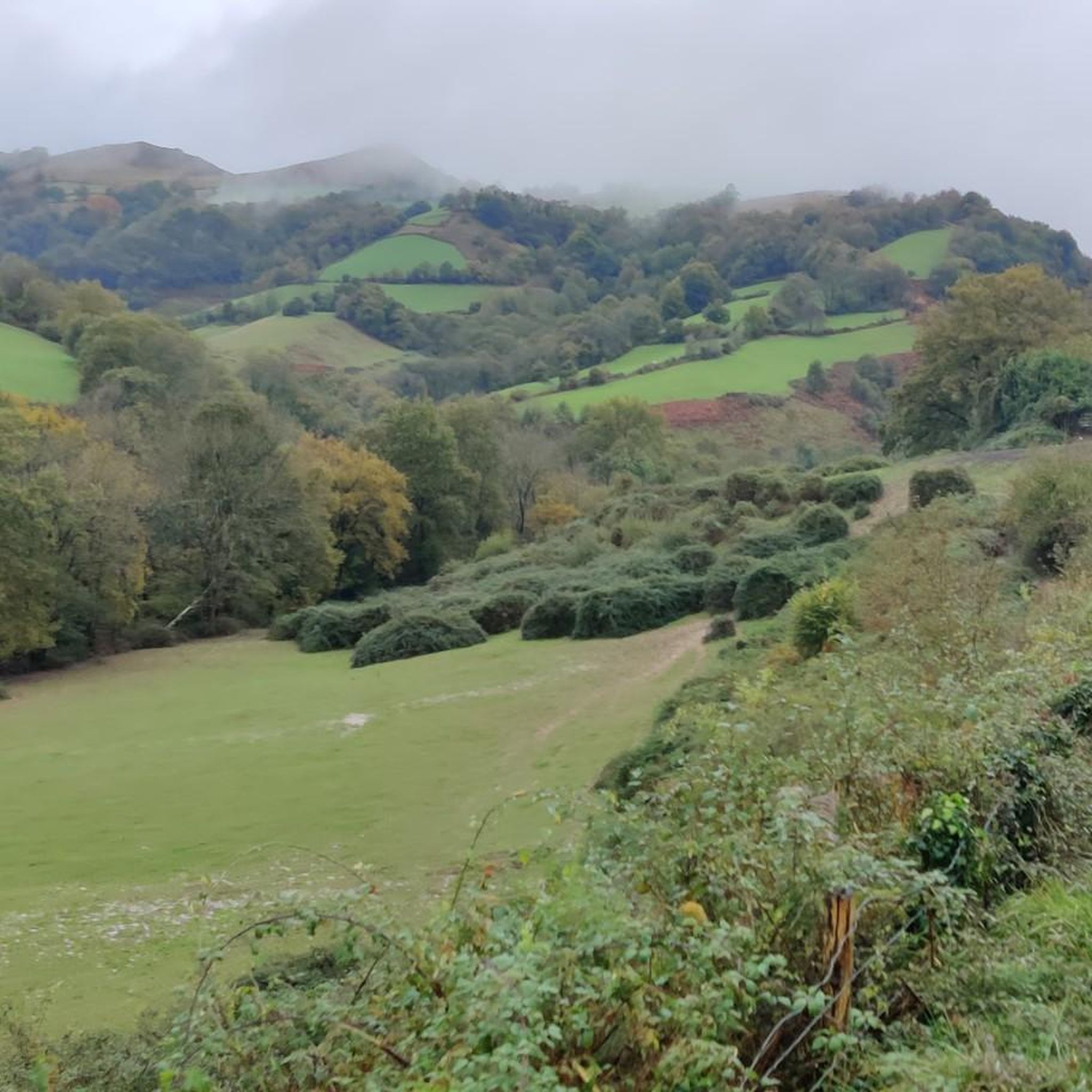
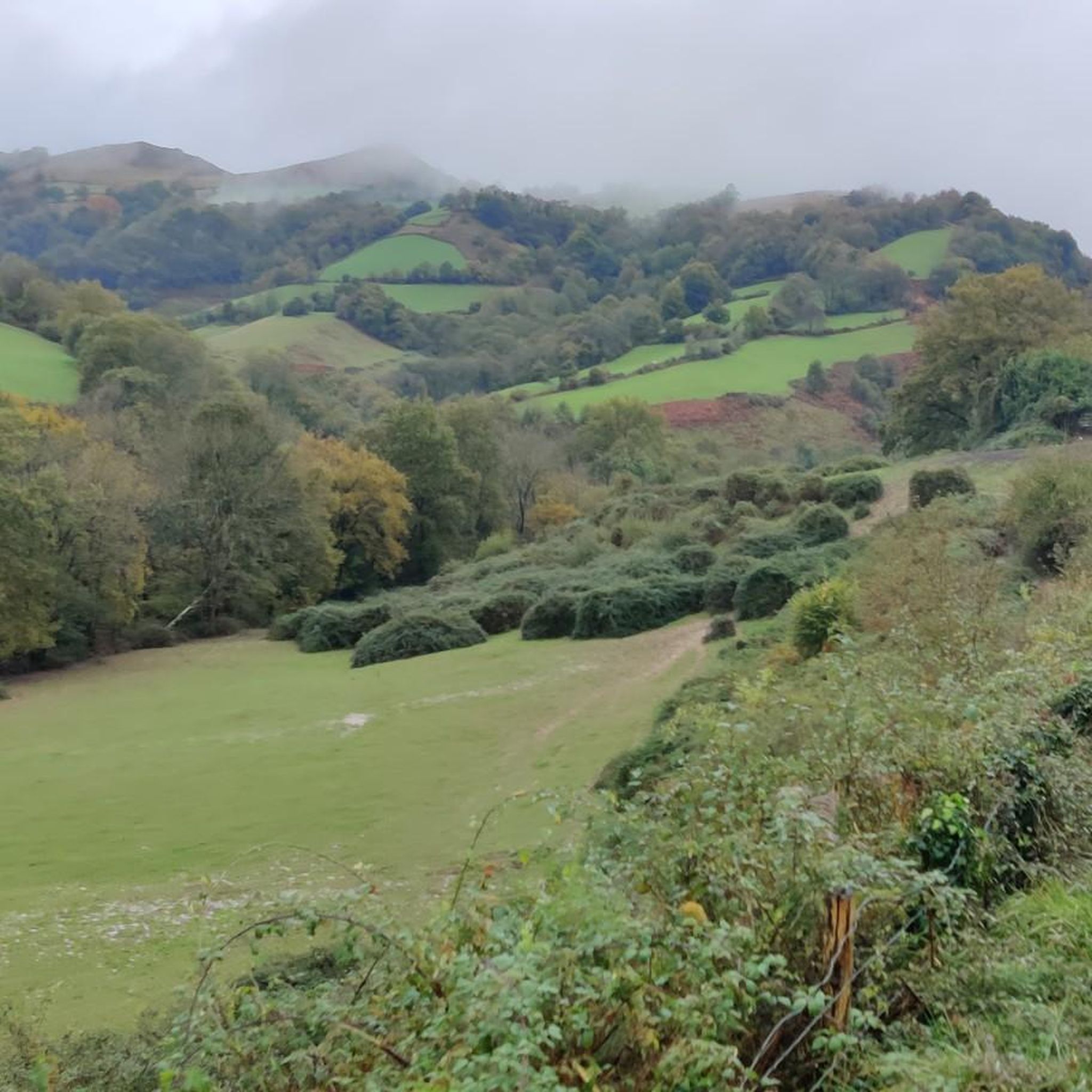
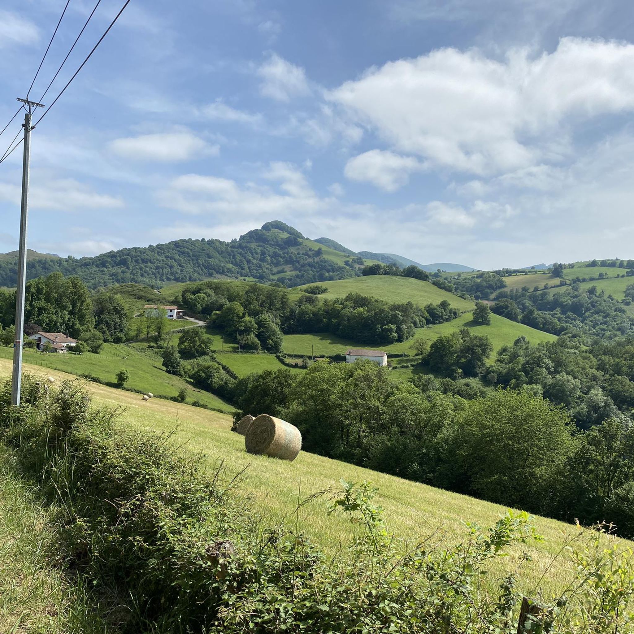
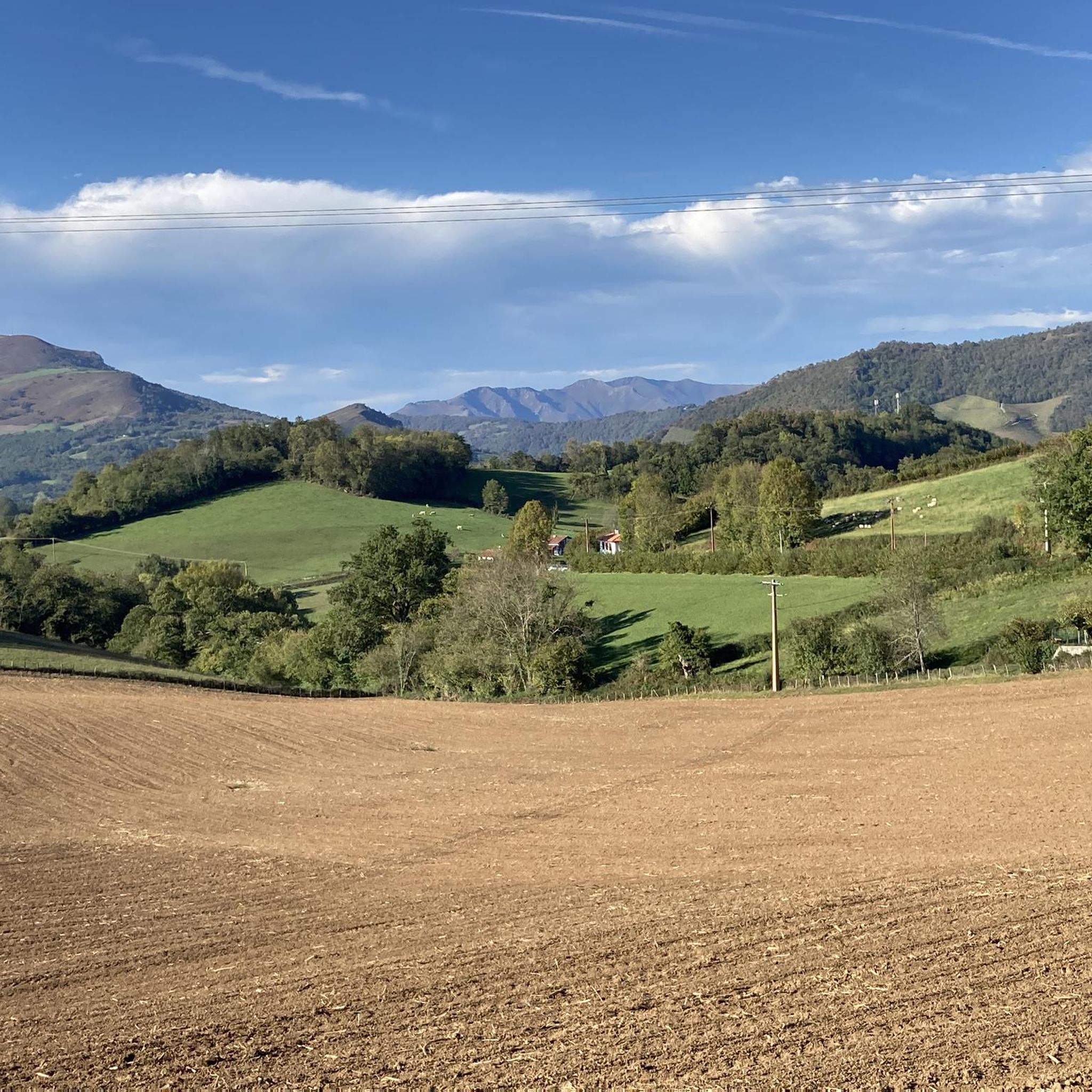

Tips from the Community

Immediately after passing the Sain Jaques city gate, the path leads downhill on this busy medieval street. The section of the Camino de Santiago, always bustling with numerous pilgrims, is lined with pilgrim hostels and massive sandstone houses with colorful doors and shutters.
1
0

Lake Iraty (Lac d'Iraty) a Peaceful Mountain Reservoir. Nestled in the heart of the iconic Basque mountains, Lake Iraty (Lac d'Iraty) is a serene reservoir surrounded by the vast beech canopy of the Iraty Forest. The calm, clear waters mirror the rolling green hills, making it one of the most picturesque stops along the surrounding trails.
1
0


The route continues uphill to the top of the Ibaneta Pass
1
0

Pretty little lake located in the forest, at the edge of the road.
0
0

Starting point for several climbs that allow you to cross the border and reach Spain. It is a very quiet town where you can take a break and get water. I remember that on hot summer days... the heat is oppressive because there is a lot of humidity. It is a typical town in the area where you will also find some bars where you can have a drink.
0
0

As you hike, approach the Saint-Jean-Pied-de-Port gate for a truly historic experience. This iconic entrance, known as the Porte Saint-Jacques, welcomes you with its impressive stone arch. Take time to admire the gate’s old-world charm and the stunning views of the surrounding Basque countryside before exploring the cobbled streets of this picturesque town.
1
0
One of the most inhospitable and spectacular mountain passes in the eastern Pyrenees, with several slopes, all of them very difficult. The landscape is wild and wonderful. You can breathe absolute tranquility and you can dedicate yourself exclusively to enjoying the views, the horses, the sheep, the cows and the suffering on the bike. The summit is on the border with Spain, although there is no road that crosses the border, so the pass runs entirely in France. I have climbed it on 2 of its slopes. The first time I climbed it on the slope that crosses the Col d'Orgambide, on the D428 road, which starts from Estérençuby. The first 3 km are very easy, until you cross the detour to go up to Artaburu, where the road begins to have slopes of more than 10%. From there, to the summit, the climb is very hard, around 9%, on a very rough and bumpy road, with a lot of humidity and crossing a wonderful beech forest. Once you reach the top of the Col d'Orgambide, you turn right and continue climbing for another half kilometre with a gradient of 11%. There comes a small descent, to face the last 3 kms, the first 2 very hard with several 13% gradients. The last kilometre is very easy and has panoramic views that are simply wonderful. The second time I climbed it on the side that starts from Arneguy and Ondarolle. This side is harder than the previous one, with a central section that is hellish, being 6 kms at an average of 10%, and a very hard km at 12% and 18% gradients!!! The final part is more gentle. You cross the Croix de Thibault in the penultimate kilometre of the climb. The final kilometre is very gentle and with beautiful and exciting panoramic views.
1
0
Frequently Asked Questions
How many touring cycling routes are available around Uhart-Cize?
There are over 130 touring cycling routes around Uhart-Cize, offering a wide range of experiences for cyclists. The region is particularly known for its challenging terrain, with 83 difficult routes, 43 moderate, and 9 easier options.
What kind of terrain can I expect on touring cycling routes around Uhart-Cize?
Uhart-Cize's touring cycling routes are characterized by significant elevation changes, including numerous mountain passes and rolling hills. You can expect challenging ascents and rewarding descents, often leading through scenic valleys and past natural viewpoints. The landscape offers a diverse cycling experience, from demanding mountain routes to more moderate climbs.
Are there any family-friendly touring cycling routes in Uhart-Cize?
While Uhart-Cize is renowned for its challenging mountain passes, there are a limited number of easier routes available. For families or those seeking less strenuous rides, it's advisable to check the difficulty ratings carefully. Look for routes specifically marked as 'easy' on komoot to ensure a suitable experience.
What are some of the most challenging touring cycling routes in the area?
Uhart-Cize is a destination for experienced touring cyclists. Routes like the Bagargui – Port de Larrau loop from Saint-Jean-Pied-de-Port, which spans over 147 km with significant elevation gain, offer an extremely demanding ride through high mountain passes. Another challenging option is the Bagargiak Pass – Porte Notre-Dame loop from Saint-Jean-Pied-de-Port, covering over 70 km with substantial climbs.
Are there circular touring cycling routes around Uhart-Cize?
Yes, many touring cycling routes around Uhart-Cize are designed as loops, allowing you to start and end in the same location. Examples include the Col de Gamia Loop from Saint-Jean-Pied-de-Port and the Porte Saint-Jacques – Bagargiak Pass loop from Saint-Jean-Pied-de-Port, both offering comprehensive tours of the region's landscapes.
What can I see along the touring cycling routes in Uhart-Cize?
The routes often pass by significant natural and historical landmarks. You might encounter natural monuments like the Roland Fountain, or enjoy panoramic views from summits such as Munhoa Summit and Jara's summit. Mountain passes like Ibañeta Pass (Col de Burregieta) are also prominent features.
Are there any interesting historical sites or natural wonders near the cycling paths?
Beyond the stunning natural landscapes, you can explore points of interest such as the Stone Circle at Col d'Orgambide, offering a glimpse into ancient history. For those interested in geological formations, the Harpéa Cave is another notable natural wonder in the vicinity.
What is the best time of year for touring cycling in Uhart-Cize?
The best time for touring cycling in Uhart-Cize is generally from late spring to early autumn (May to October). During these months, the weather is typically more stable, and mountain passes are clear of snow, offering optimal conditions for tackling the region's challenging routes. Always check local weather forecasts before heading out, especially for higher elevations.
What do other touring cyclists enjoy most about cycling in Uhart-Cize?
The touring cycling routes in Uhart-Cize are highly rated by the komoot community, with an average score of 4.5 stars from over 180 reviews. Cyclists frequently praise the challenging climbs, the rewarding descents, and the extensive scenic vistas offered by the mountain passes and valleys. The diverse terrain and well-maintained paths are also often highlighted.
Is public transport available to access touring cycling routes in Uhart-Cize?
Public transport options to directly access the starting points of all touring cycling routes in Uhart-Cize can be limited, especially for more remote mountain passes. It is often more convenient to travel by car to reach trailheads, particularly those outside of major towns like Saint-Jean-Pied-de-Port. Some local bus services might connect larger villages, but their schedules and bike-carrying capacity should be verified in advance.
Where can I find parking for touring cycling routes around Uhart-Cize?
Parking is generally available in and around the main towns and villages, such as Saint-Jean-Pied-de-Port, which serves as a common starting point for many routes. For specific trailheads in more rural areas, look for designated parking lots or safe roadside parking spots. Always ensure your vehicle is parked legally and does not obstruct local traffic or access.
Are touring cycling routes in Uhart-Cize suitable for dogs?
While many natural areas in Uhart-Cize are dog-friendly, the suitability of touring cycling routes for dogs depends on the specific route and your dog's fitness level. Given the significant distances and elevation changes, most touring cycling routes are not ideal for dogs to run alongside. If you plan to bring your dog, consider shorter, less strenuous paths and ensure they are comfortable with a bike trailer or carrier if they are not running.
Most popular routes around Uhart-Cize
Most popular attractions around Uhart-Cize

Get inspired with the komoot mobile app


Explore more
Browse the best Cycling routes in other regions.
