The best walks and hikes around Preuilly-Sur-Claise
4.5
(29)
132
hikers
15
hikes
Hiking around Preuilly-Sur-Claise offers diverse landscapes, from tranquil river valleys to expansive forests and historical sites. The region is characterized by the scenic Claise Valley, providing picturesque riverside walks and views of the surrounding countryside. Extensive woodlands like the Preuilly Forest offer opportunities for longer hikes through ancient trees and past serene ponds. Beyond the main forest, a network of rural tracks and wooded hillsides provides varied terrain and panoramic views of the Touraine du Sud region.
Best hiking trails…
Last updated: July 3, 2026
5.0
(1)
10
hikers
6.61km
01:41
20m
20m
Easy hike. Great for any fitness level. Easily-accessible paths. Suitable for all skill levels.
5.0
(1)
3
hikers
7.66km
02:03
90m
90m
Moderate hike. Good fitness required. Easily-accessible paths. Suitable for all skill levels.

Sign up for free
4
hikers
9.80km
02:37
110m
110m
Moderate hike. Good fitness required. Easily-accessible paths. Suitable for all skill levels.
5.0
(1)
3
hikers
Easy hike. Great for any fitness level. Easily-accessible paths. Suitable for all skill levels.
2
hikers
10.0km
02:36
70m
70m
Moderate hike. Good fitness required. Easily-accessible paths. Suitable for all skill levels.
Get access to more routes and recommendations from other explorers.
Sign up for free
Already have an account?
Our route recommendations are based on thousands of hikes, rides, and runs completed by other people on komoot.
Start today with a free account
Your next adventure awaits.
Login or Signup


Tips from the Community

Beautiful hike in southern Touraine
0
0

Born in Yzeures in 1918, Mado Robin was a well-known French opera singer. She died in Paris in 1960. Her birthplace honors her with a small museum and a square named after her.
0
0
Frequently Asked Questions
How many hiking trails are available around Preuilly-sur-Claise?
There are 14 diverse hiking trails around Preuilly-sur-Claise, offering a range of experiences from tranquil riverside strolls to more extensive forest explorations. Half of these routes are considered easy, while the other half are moderate, ensuring options for various fitness levels.
Are there any easy walks suitable for families or beginners?
Yes, Preuilly-sur-Claise offers 7 easy hiking routes. A great option for a relaxed outing is the L'Étang Neuf loop from Étang de la Ribaloche, which is 4.1 miles (6.6 km) long and takes about 1 hour 41 minutes to complete, offering a gentle path around the lake. Another easy choice is the Notre-Dame Church – Mado Robin Monument loop from Le Bourg, a shorter 3.7 miles (6 km) trail.
What kind of landscapes can I expect to see on the trails?
The trails around Preuilly-sur-Claise showcase diverse landscapes. You can expect picturesque riverside walks along the Claise Valley, extensive ancient woodlands within the Preuilly Forest, and varied terrain through rural tracks and wooded hillsides. These offer panoramic views of the Touraine du Sud region and glimpses of local flora.
Are there any circular hiking routes?
Yes, many of the trails around Preuilly-sur-Claise are circular, allowing you to start and end at the same point. For example, the Chamussay Bridge loop from Chaumussay is a moderate 4.7 miles (7.6 km) circular path featuring varied terrain through the countryside and past the historic bridge.
What are some longer or more challenging hikes in the area?
For those seeking a longer adventure, the Le Nymphée loop from Le Petit Favier is a moderate 10.5 miles (16.9 km) trail that leads through wooded areas and rural landscapes, typically taking around 4 hours 25 minutes to complete. Another moderate option is the Notre-Dame Church loop from Yzeures-sur-Creuse, which covers 9.8 km.
What historical sites or attractions can I see near the hiking trails?
While hiking, you can discover several historical and cultural points of interest. The region features charming local villages like Chaumussay with its rich heritage. You might also encounter significant landmarks such as the Boussay Castle, the historic Notre-Dame Church, or the ancient Porte Bourbon. Some trails offer views of the nearby town of La Roche-Posay.
Is Preuilly-sur-Claise a good destination for wildlife spotting?
The diverse natural environments, particularly the extensive Preuilly Forest and the tranquil Claise Valley, provide habitats for various wildlife. While specific sightings are never guaranteed, hikers often report seeing local bird species and other small animals, especially in the quieter, wooded sections of the trails.
What do other hikers say about the trails in Preuilly-sur-Claise?
The hiking trails in Preuilly-sur-Claise are highly regarded by the komoot community, with an average rating of 4.5 out of 5 stars from over 25 reviews. Hikers frequently praise the region's diverse scenery, from the peaceful riverside paths to the immersive forest trails, and appreciate the well-maintained routes.
Are there any greenways or accessible paths in the area?
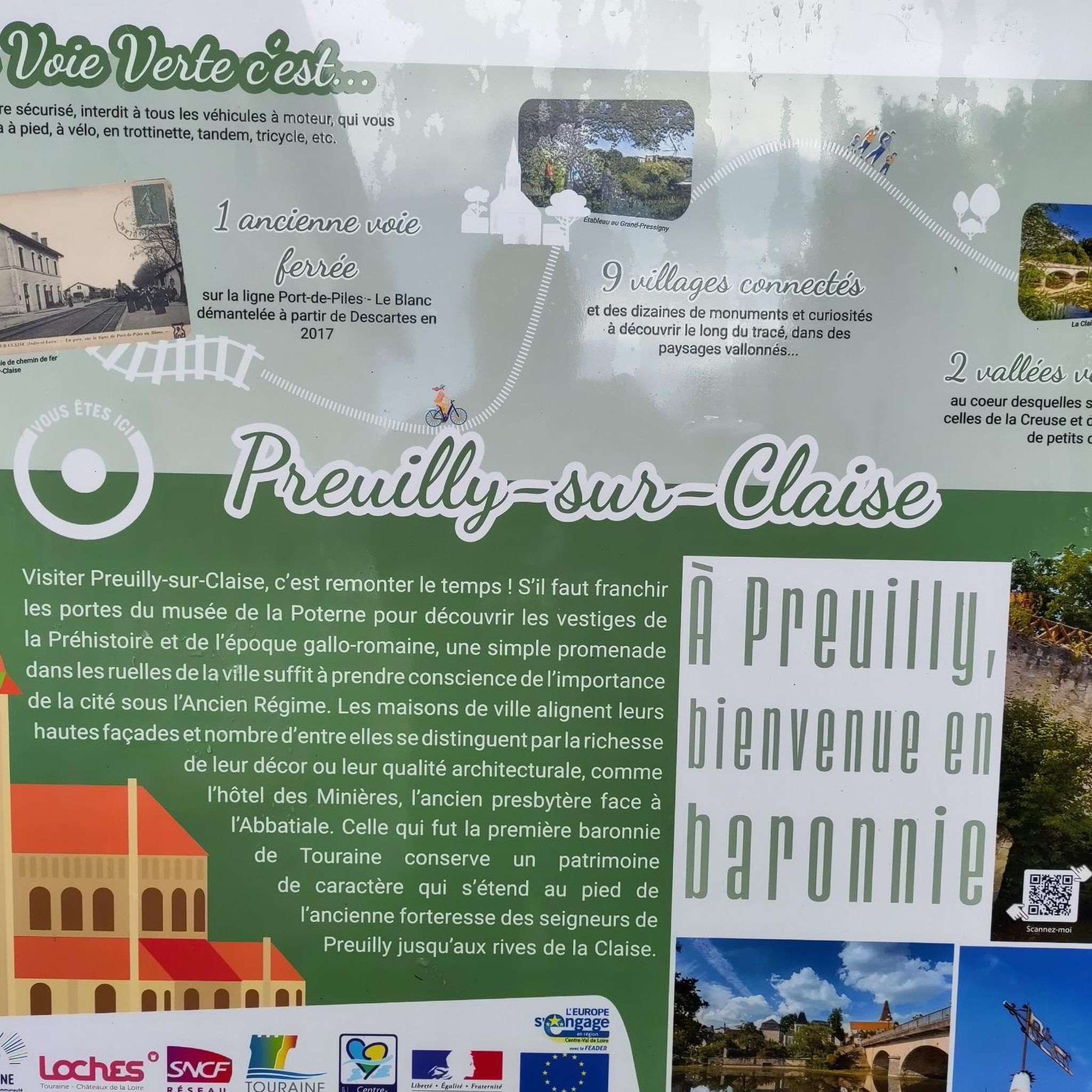
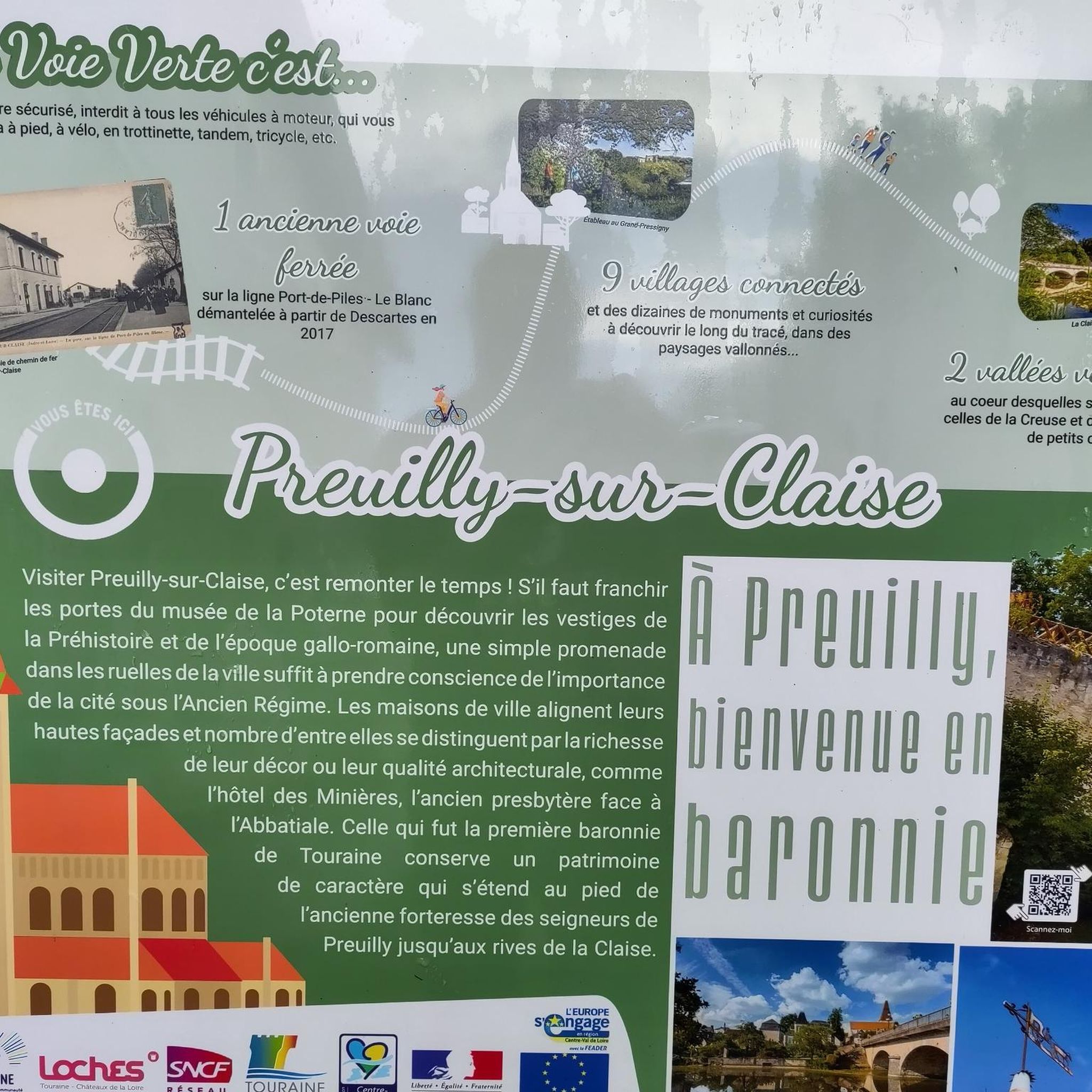
Yes, the municipality has developed greenways (Voies Vertes), which are converted old railway lines or towpaths. These offer relatively flat and accessible routes, ideal for walking. A notable greenway near the old train station in Preuilly-sur-Claise provides amenities like shelters, picnic tables, and even a bike repair station, making it suitable for a leisurely stroll.
What is the best time of year to go hiking in Preuilly-sur-Claise?
Preuilly-sur-Claise offers enjoyable hiking experiences throughout much of the year. Spring brings blooming flora and mild temperatures, while autumn provides beautiful fall foliage in the forests. Summer is pleasant for riverside walks, though it can be warmer. Even winter offers opportunities for crisp, quiet walks, especially on the well-established forest paths.
Is there public transport available to reach the trailheads?
While specific public transport links directly to every trailhead might be limited, the region does have some local transport options. It's advisable to check local bus schedules or regional transport services for connections to Preuilly-sur-Claise itself, and then plan your hike from accessible points within or near the town.
Where can I park my car when hiking in Preuilly-sur-Claise?
Parking is generally available in and around Preuilly-sur-Claise, particularly near the town center and designated starting points for popular trails. Many routes, especially those that begin in villages or near attractions, will have convenient parking areas. For specific routes, it's recommended to check the komoot tour details for suggested parking locations.
Most popular routes around Preuilly-Sur-Claise
Most popular attractions around Preuilly-Sur-Claise

Get inspired with the komoot mobile app


Explore more
Browse the best Hikes in other regions.
