The best running trails around Souvigny-De-Touraine
4.3
(74)
3,090
runners
235
runs
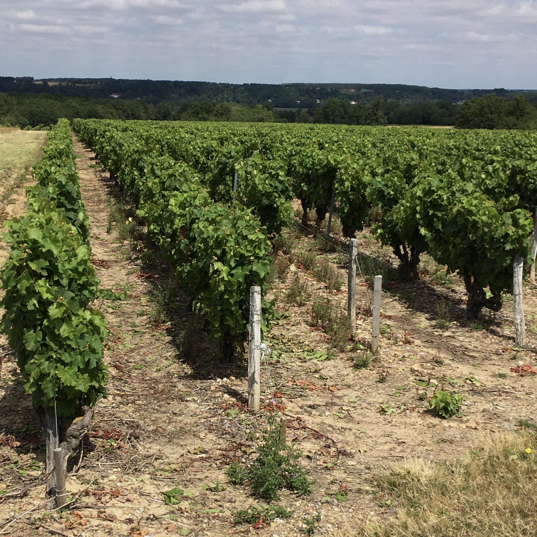
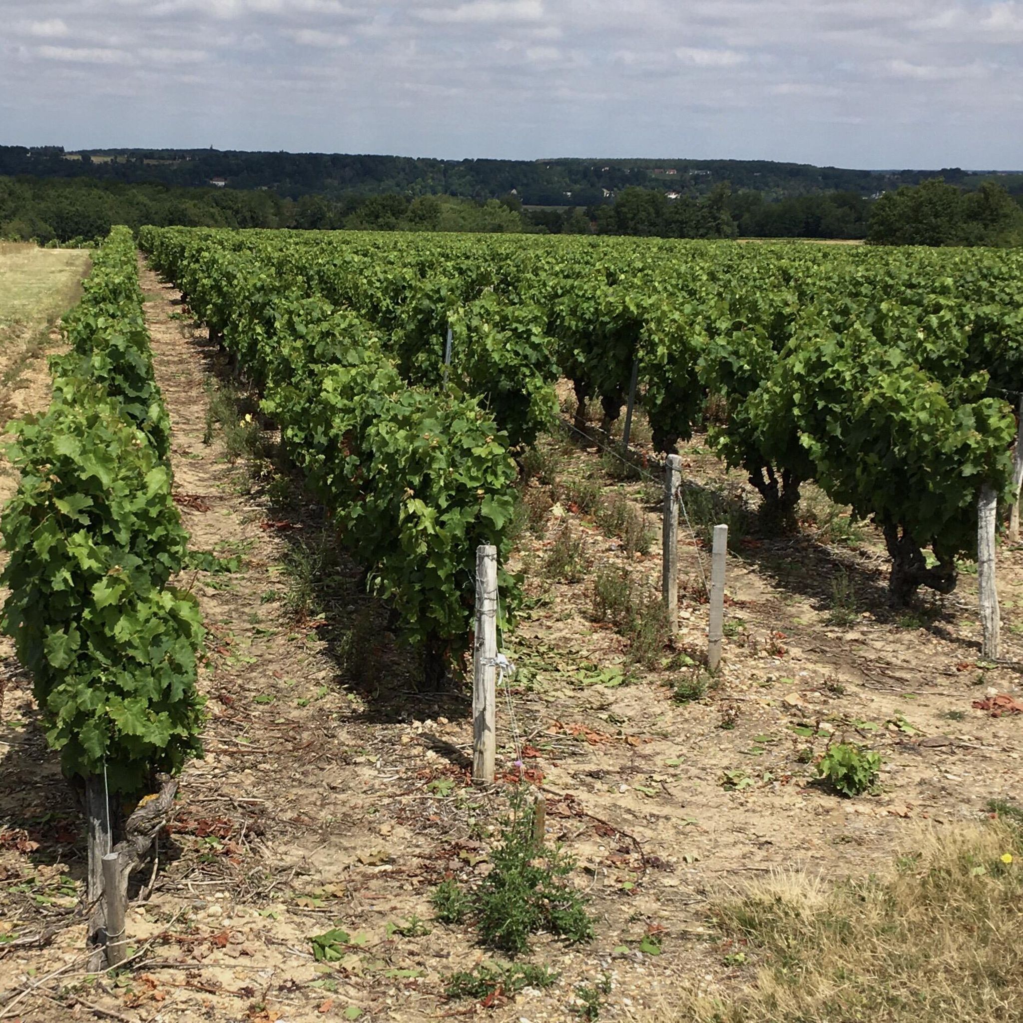
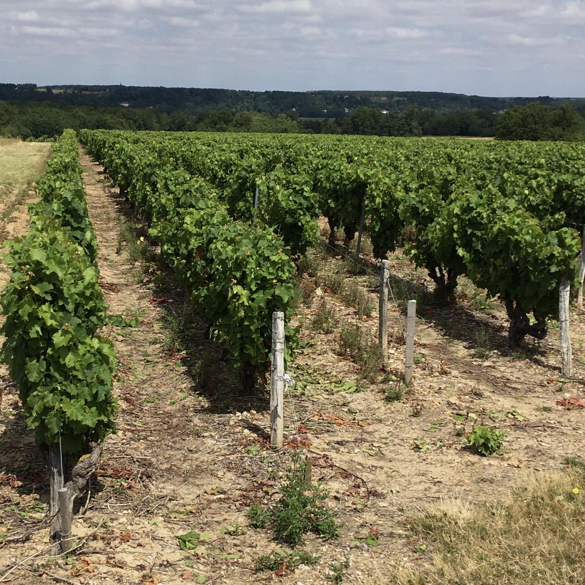
Jogging routes Souvigny-de-Touraine traverse a rural commune within the Loire-Anjou-Touraine Regional Natural Park, characterized by its extensive natural landscapes. The region features expansive forests, covering approximately 65% of its area, which provide numerous shaded paths. The Amasse river valley also meanders through the area, offering potential running routes along its banks. The broader park includes dominant valleys, rivers, streams, vineyards, and cultivated plateaus, providing varied terrain for runners.
Best jogging routes around Souvigny-De-Touraine
- The most popular jogging route is Route…
Last updated: June 27, 2026
5.0
(1)
16
runners
9.43km
00:59
80m
80m
Moderate run. Good fitness required. Mostly paved surfaces. Suitable for all skill levels.
16
runners
Moderate run. Good fitness required. Mostly paved surfaces. Suitable for all skill levels.

Sign up for free
9
runners
9.74km
01:01
80m
70m
Moderate run. Good fitness required. Mostly paved surfaces. Suitable for all skill levels.
9
runners
10.7km
01:07
100m
100m
Moderate run. Good fitness required. Mostly paved surfaces. Suitable for all skill levels.
5.0
(1)
7
runners
7.87km
00:52
40m
40m
Moderate run. Good fitness required. Mostly paved surfaces. Suitable for all skill levels.
Get access to more routes and recommendations from other explorers.
Sign up for free
Already have an account?
Our route recommendations are based on thousands of hikes, rides, and runs completed by other people on komoot.
Start today with a free account
Your next adventure awaits.
Login or Signup

Tips from the Community


At first glance, it may seem surprising that a statue was dedicated to the Italian polymath LEONARDO da VINCI (1452 to 1519) here in the French Loire Valley. But you have to know that he spent the last years of his life in the neighboring castle of Le Clos Lucé at the invitation of the French king and died there on May 2, 1519. His grave is believed to be in the Hubertus Chapel - see https://www.komoot.com/de-de/highlight/958658 - but it is not certain whether his remains are actually there.
0
0

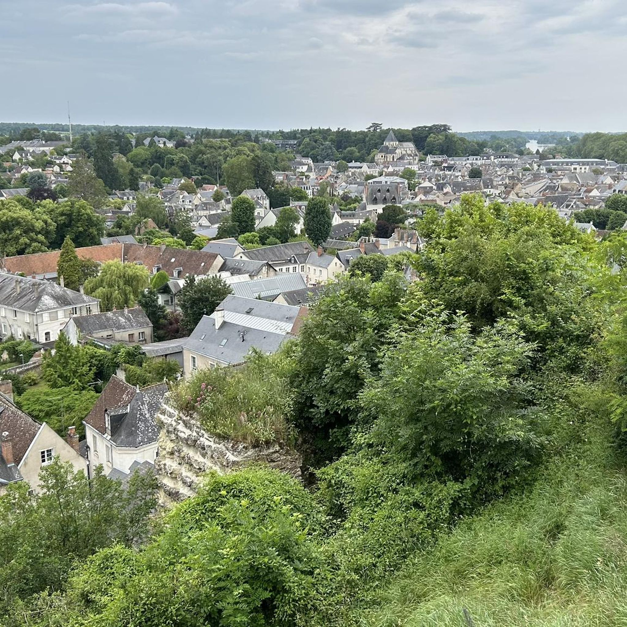
On the bike path - approaching Amboise - view of the town It's a dream to arrive in beautiful weather and have such a wonderful view. Amboise is a wonderful town - I highly recommend it to everyone - great food!
0
0

Agréable étang où se reposer en Forêt d’Amboise. De nombreuses personnes s’y rendent, dont des sportifs, tels que des coureurs, des marcheurs, et des cyclistes. Il est aussi à noter que des bancs ainsi que des tables sont mis à disposition afin de pique-niquer.
1
0

Great view of the castle. Unfortunately it is difficult to get seats in the bar.
1
0

Very beautiful and large places and super friendly people!!!
0
0

A must-see in the region: crossing the bridge with a view of the castle!
1
0

Frequently Asked Questions
How many running trails are available in Souvigny-De-Touraine?
Souvigny-De-Touraine offers over 220 running routes, catering to various preferences and fitness levels. You'll find a mix of easy, moderate, and challenging paths through forests, along the Amasse river valley, and across cultivated plateaus.
What are the difficulty levels of the jogging routes in Souvigny-De-Touraine?
The routes range from easy to difficult. There are 14 easy routes, 179 moderate routes, and 27 difficult routes, ensuring options for beginners and experienced runners alike.
Are there any circular running routes in Souvigny-De-Touraine?
Yes, many of the running trails in Souvigny-De-Touraine are circular, allowing you to start and end your run at the same point. For example, the Route de Saint-Lubin loop from Saint-Règle is a popular 5.9-mile (9.4 km) option, and the Running loop from Chargé covers 6.0 miles (9.7 km) through woodlands and fields.
What kind of terrain can I expect on the running paths in Souvigny-De-Touraine?
The terrain in Souvigny-De-Touraine is quite varied. You'll encounter shaded forest paths, routes along the Amasse river valley, and trails through vineyards and cultivated plateaus. The region's inclusion in the Loire-Anjou-Touraine Regional Natural Park means a diverse landscape, from flat sections to more undulating routes.
Are there any scenic running routes that pass by historical landmarks or natural features?
Absolutely! The region is rich in natural beauty and history. While running, you might encounter traditional architecture like historic mills or troglodyte dwellings. For a route with varied scenery, consider the Pont du Maréchal Leclerc – Clock Tower loop from Chargé, which offers views along the river and through local settlements. You can also explore nearby attractions like the stunning Château de Chenonceau or the Château d'Amboise, which are close enough to incorporate into a longer outing.
What do other runners enjoy most about jogging in Souvigny-De-Touraine?
The running routes in Souvigny-De-Touraine are highly rated by the komoot community, with an average score of 4.3 stars from over 60 reviews. Runners often praise the serene environment, the extensive shaded forest paths, and the varied scenery that makes each run unique.
Are there any easy running routes suitable for beginners or a relaxed jog?
Yes, Souvigny-De-Touraine offers 14 easy running routes perfect for beginners or those looking for a less strenuous jog. These paths typically feature gentler inclines and well-maintained surfaces, allowing for a comfortable experience amidst the beautiful natural surroundings.
Can I find routes that are suitable for families with children?
While specific 'family-friendly' routes aren't explicitly categorized, the 14 easy routes available in Souvigny-De-Touraine are generally suitable for families with children. These paths offer a pleasant way to explore the natural landscapes together without excessive difficulty. Look for routes with minimal elevation gain and shorter distances.
Are there any running trails that offer views of the Loire River or other significant waterways?
Souvigny-De-Touraine is traversed by the Amasse river valley, providing potential routes along its banks. While the Loire River itself might be a bit further, the broader Loire-Anjou-Touraine Regional Natural Park is characterized by its dominant valleys and crisscrossed rivers, offering many opportunities for scenic waterside runs. The Port of Chaumont-sur-Loire is a notable nearby highlight.
What is the best time of year to go running in Souvigny-De-Touraine?
The region's expansive forests provide ample shade, making it pleasant for running during warmer months. Spring and autumn offer particularly beautiful scenery with comfortable temperatures. Even in winter, the trails can be enjoyable, though conditions might vary, so checking local weather is always recommended.
Are there any longer running routes for endurance training?
Yes, for those seeking longer distances, Souvigny-De-Touraine has numerous moderate and difficult routes. For example, the Pont du Maréchal Leclerc – Clock Tower loop from Chargé is 7.3 miles (11.7 km) long, and the Running loop from Saint-Règle covers 6.6 miles (10.6 km), offering good options for longer runs.
Where can I find parking for the running trails in Souvigny-De-Touraine?
As a rural commune, parking is generally available near trailheads or in the villages from which routes often start, such as Saint-Règle or Chargé. Specific parking information is usually detailed on individual route pages on komoot, so it's best to check the route you plan to run for precise locations.
Most popular routes around Souvigny-De-Touraine
Most popular attractions around Souvigny-De-Touraine

Get inspired with the komoot mobile app


Explore more
Browse the best Running Trails & Routes in other regions.
