The best road cycling routes around Lantosque
4.6
(45)
3,034
riders
50
rides
Road cycling around Lantosque offers diverse terrain within the Alpes-Maritimes department, situated in the Vésubie Valley. The region is characterized by significant elevation changes, deep gorges, and mountain roads, providing a challenging environment for cyclists. Its proximity to the Mercantour National Park contributes to a landscape of varied mountain scenery and preserved natural features. Routes often feature well-paved surfaces and panoramic mountain views.
Best road cycling routes around Lantosque
- The most popular road cycling route is Col de Turini from…
Last updated: June 29, 2026
5.0
(6)
163
riders
48.6km
03:12
1,550m
1,540m
Hard road ride. Very good fitness required. Mostly well-paved surfaces and easy to ride.
5.0
(2)
112
riders
48.0km
02:52
1,250m
1,270m
Hard road ride. Very good fitness required. Mostly well-paved surfaces and easy to ride.

Sign up for free
5.0
(1)
55
riders
69.9km
04:14
1,850m
1,850m
Hard road ride. Very good fitness required. Mostly well-paved surfaces and easy to ride.
5.0
(1)
44
riders
49.4km
03:08
1,290m
1,290m
Hard road ride. Very good fitness required. Mostly well-paved surfaces and easy to ride.
5.0
(1)
71
riders
57.2km
03:11
1,210m
1,210m
Hard road ride. Very good fitness required. Mostly well-paved surfaces and easy to ride.
Get access to more routes and recommendations from other explorers.
Sign up for free
Already have an account?
Our route recommendations are based on thousands of hikes, rides, and runs completed by other people on komoot.
Start today with a free account
Your next adventure awaits.
Login or Signup
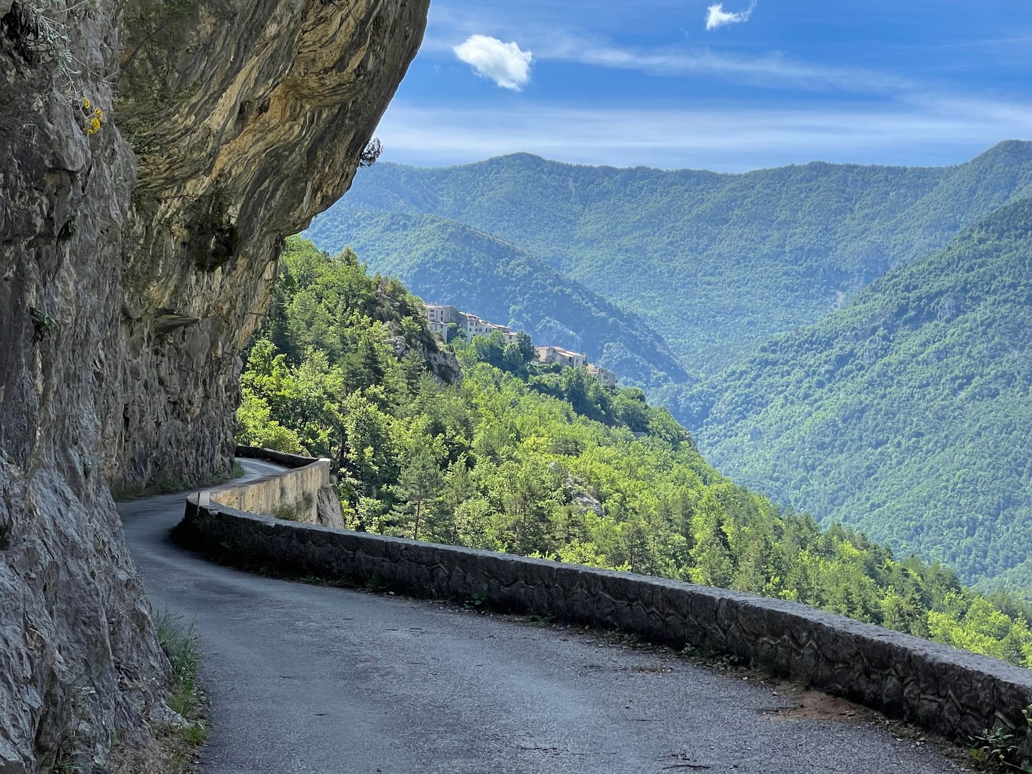
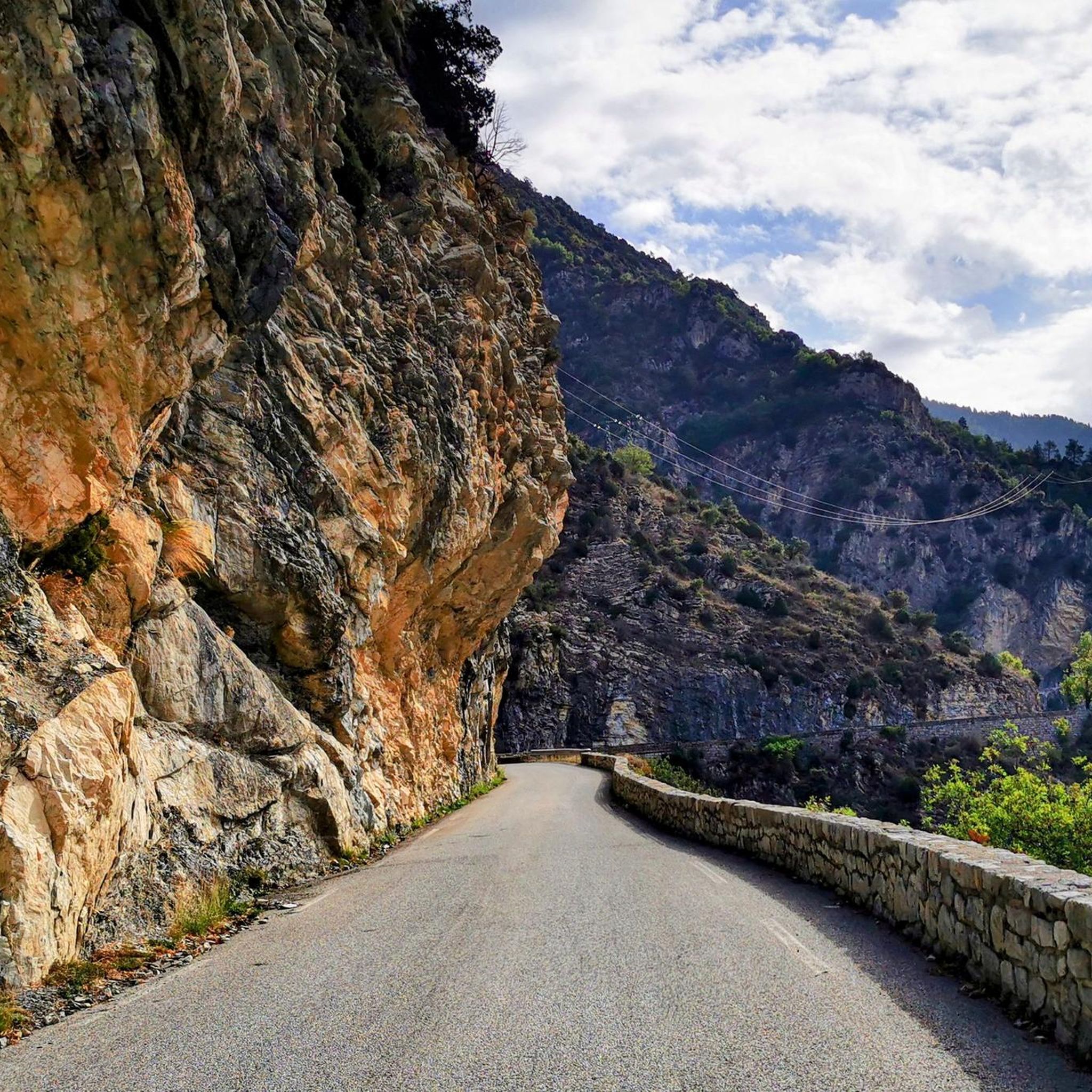
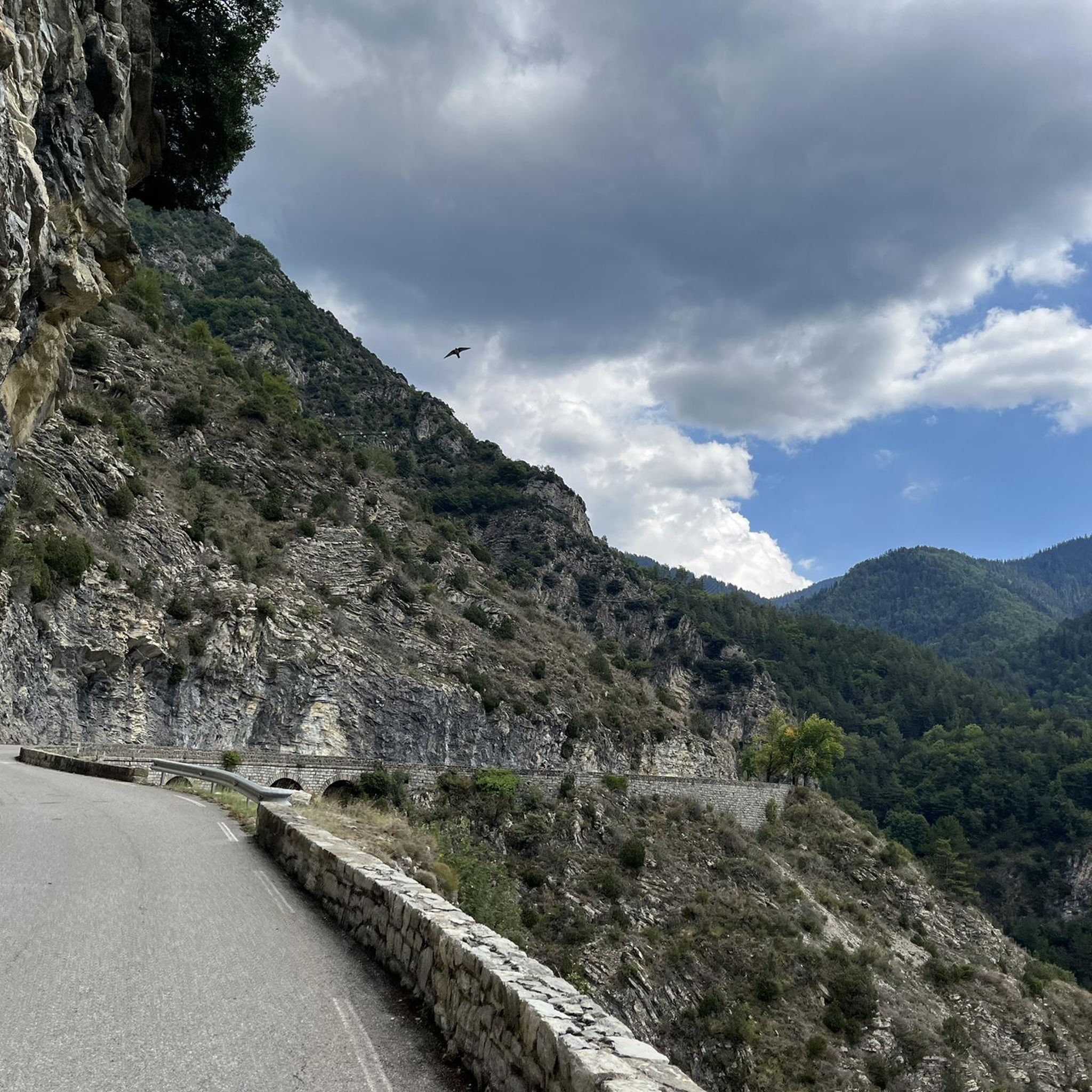
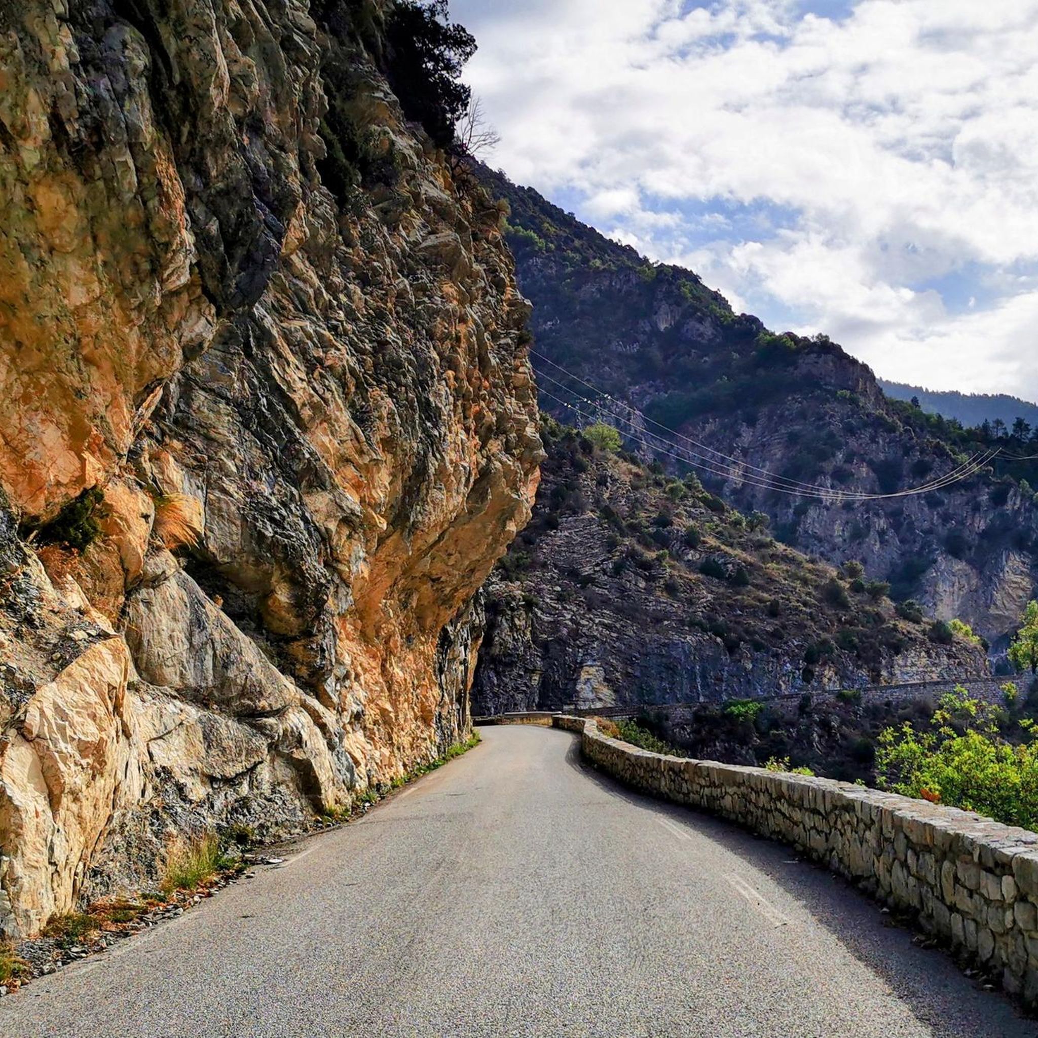

Other adventures around Lantosque

Tips from the Community

excellent route early in the morning in summer
0
0

The Col Saint-Martin Pass, or Col de la Colmiane, is a mountain pass in the Southern Alps located at an altitude of 1,500 meters in the Alpes-Maritimes department of France. It provides a year-round road link between the Tinée Valley to the west and the Vésubie Valley to the east.
0
0
The Col Saint-Martin Pass, or Col de la Colmiane, is a mountain pass in the Southern Alps located at an altitude of 1,500 meters in the Alpes-Maritimes department of France. It provides a year-round road link between the Tinée Valley to the west and the Vésubie Valley to the east.
0
0
Col Saint Martin (el. 1500 m.) is a high mountain pass in the Alps in the department of Alpes-Maritimes in France.[1] It is traversed by the D-2205 highway.[2] The place has been crossed at the Tour de France road cycling race in 1973, 1975 and 2020, as well as at multiple editions of the Paris-Nice.
0
0
Col Saint Martin (el. 1500 m.) is a high mountain pass in the Alps in the department of Alpes-Maritimes in France.[1] It is traversed by the D-2205 highway.[2] The place has been crossed at the Tour de France road cycling race in 1973, 1975 and 2020, as well as at multiple editions of the Paris-Nice.
0
0

In July during the week there was almost no traffic, making it a completely relaxed drive up.
0
0
Currently (as of July 2025), there's a lot of excavation and construction going on here. For cycling emergencies, there's a local sports shop that carries all kinds of cycling supplies and was able to quickly help us with our bike repairs: https://sport-addict06.fr/
2
0

one of the most beautiful roads in the area
1
0
Frequently Asked Questions
What is the general terrain like for road cycling around Lantosque?
Road cycling around Lantosque, nestled in the Vésubie Valley within the Alpes-Maritimes, is characterized by diverse and challenging terrain. You'll encounter significant elevation changes, deep gorges, and winding mountain roads. The region's proximity to the Mercantour National Park means varied mountain scenery, well-paved surfaces, and panoramic views, making it ideal for cyclists seeking demanding climbs and scenic rides.
How many road cycling routes are available in the Lantosque area?
There are over 50 road cycling routes around Lantosque documented on komoot. These routes cater to various skill levels, with 2 easy, 13 moderate, and 37 difficult options, ensuring there's a suitable challenge for most road cyclists.
Are there any challenging climbs for experienced road cyclists?
Absolutely. Lantosque is renowned for its challenging climbs. Routes like the Col de Turini from Lantosque - Mercantour National Park, a 48.6 km ride with over 1,500 meters of elevation gain, offer substantial ascents. Another demanding option is the Col de Turini – View of the Col de Turini Road loop from La Bollène-Vésubie, which features over 1,700 meters of climbing.
What are some notable natural features or viewpoints I can expect to see while cycling?
The region offers breathtaking natural features and viewpoints. You'll cycle through the dramatic Gorges de la Vésubie and experience the majestic landscapes of the Mercantour National Park. Specific highlights include the iconic Col de Turini, the panoramic Braus Pass, and the stunning Fantastic View at Col de Braus. The village of Lantosque itself is perched on a rocky ledge, offering superb views of the gorges.
Are there any circular road cycling routes around Lantosque?
Yes, several excellent circular routes are available. For instance, the Saint-Martin Pass – Col de la Colmiane loop from La Bollène-Vésubie is a difficult 48 km circular path offering mountain scenery. Another popular loop is the Col à Utelle – Madonna of Utelle loop from Lantosque, spanning about 49.4 km through mountain passes and scenic viewpoints.
What is the best time of year for road cycling in Lantosque?
The Alpes-Maritimes region, where Lantosque is located, generally offers favorable conditions for road cycling from spring through autumn. The discreet roads provide a pleasant experience away from urban hustle. However, given the significant elevation changes and mountain passes, it's advisable to check local weather conditions, especially for higher altitudes, during early spring or late autumn to avoid unexpected cold or snow.
What do other road cyclists say about the routes in Lantosque?
The road cycling routes around Lantosque are highly regarded by the komoot community, holding an average rating of 4.7 stars from over 40 reviews. Cyclists often praise the challenging climbs, the well-paved surfaces, and the breathtaking panoramic mountain views, particularly those through the Vésubie Valley and near the Mercantour National Park.
Are there any historical or cultural landmarks to see along the cycling routes?
Beyond the natural beauty, Lantosque and its surroundings offer glimpses into the region's history. You might encounter typical village architecture with old stone houses, narrow streets, and ancient structures like a well-preserved wash house or castle ruins. The Notre-Dame de la Ménour and Its Hairpin Bends is a notable religious building that adds to the cultural richness of the area.
Can I find places to eat or stay in Lantosque and nearby areas?
Lantosque is a charming village with typical architecture, and while specific cafes or restaurants aren't detailed in the route information, villages in the Alpes-Maritimes region generally offer local amenities. For accommodation and dining, exploring Lantosque itself or nearby hamlets like Pélasque, Loda, and Saint-Colomban, which offer superb viewpoints, would be a good starting point.
What are the road conditions like for cycling in the Lantosque area?
The road cycling routes around Lantosque are generally known for their well-paved surfaces. This makes for a smooth riding experience, even on the challenging mountain roads and through the deep gorges. However, as with any mountainous region, it's always wise to be aware of potential debris or changing conditions, especially after adverse weather.
Are there any easier road cycling routes for beginners or those looking for a less strenuous ride?
While many routes in Lantosque are classified as difficult, there are a few options for those seeking a less strenuous ride. Komoot lists 2 easy and 13 moderate road cycling routes in the area. These routes still allow you to enjoy the beautiful scenery without the extreme elevation gains of the more challenging climbs, making them suitable for beginners or a more relaxed pace.
Most popular routes around Lantosque
Most popular attractions around Lantosque

Get inspired with the komoot mobile app


Explore more
Browse the best Road cycling routes in other regions.
