Top 17 Mountain Passes around Roquebillière
Best mountain passes around Roquebillière are found in the Vésubie Valley, at the gateway to the Mercantour National Park. This location serves as a base for exploring various mountain passes in the French Alps. The surrounding region offers a range of passes, each with distinct features. These passes provide access to diverse landscapes and challenging routes.
Best mountain passes around Roquebillière
- The most popular mountain pass is Col de Turini, a mountain pass that features a 15.3 km climb…
Last updated: May 13, 2026
Col de Turini
Highlight • Mountain Pass
Translated by Google •
Tip by

Col de la Colmiane
Highlight • Mountain Pass
Translated by Google •
Tip by
Sign up now to discover places like this
Get recommendations on the best single tracks, peaks, & plenty of other exciting outdoor places.
Sign up for free
Saint-Martin Pass (La Colmiane)
Highlight • Mountain Pass
Translated by Google •
Tip by

Pas de l'Arpette Trail
Highlight (Segment) • Trail
Translated by Google •
Tip by

Ascent of the Col de Turini from Sospel
Highlight (Segment) • Mountain Pass
Translated by Google •
Tip by

Sign up for free to discover even more mountain passes around Roquebillière.
Sign up for free
Already have an account?
Start today with a free account
Your next adventure awaits.
Login or Signup
Popular around Roquebillière

Cycling from the Italian Riviera to the French Alps – Alpine Arc (part 1)
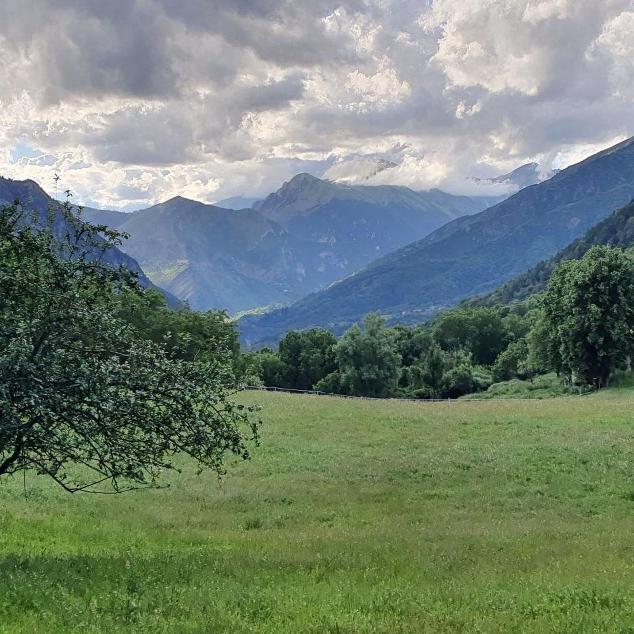
Road Cycling Routes around Roquebillière
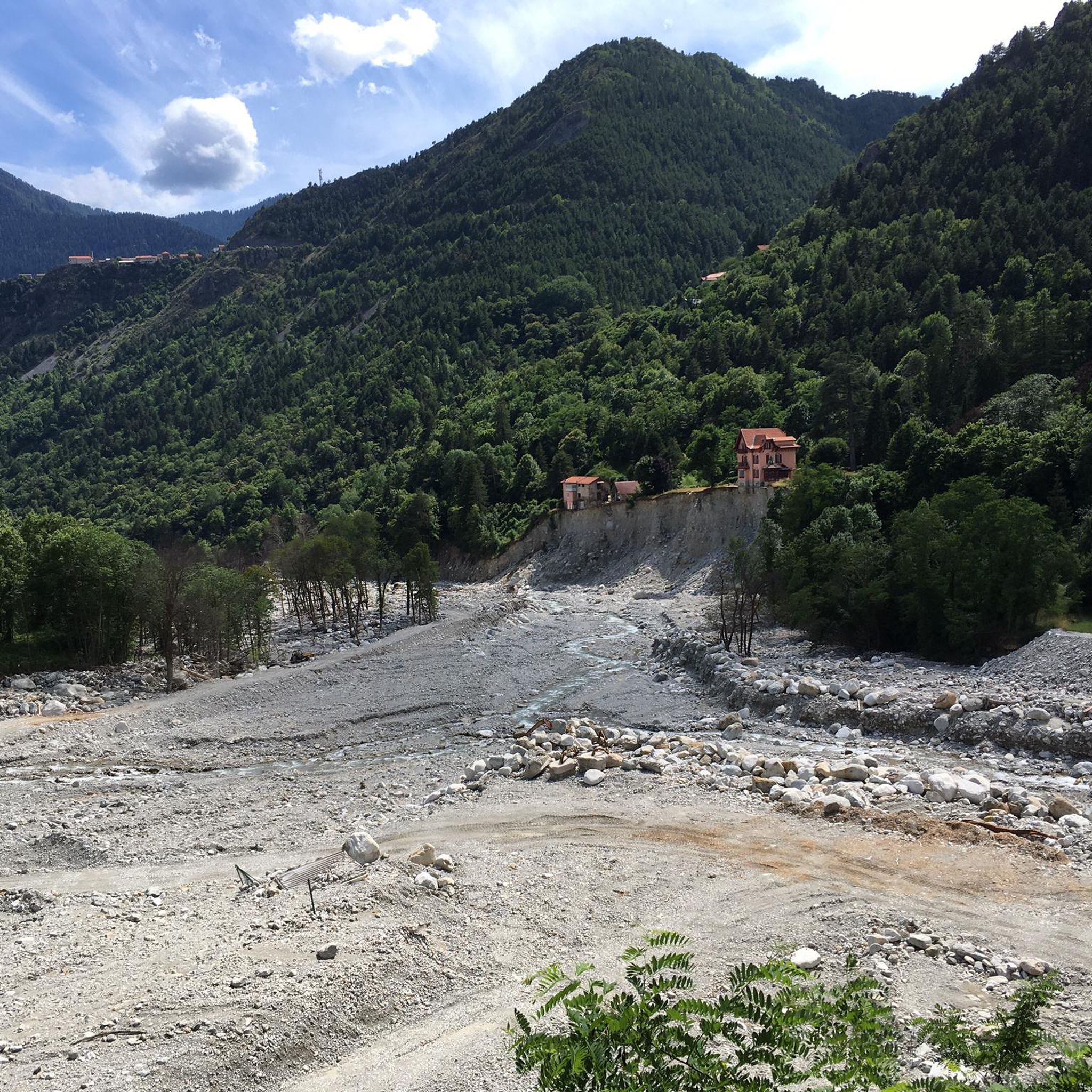
Hiking around Roquebillière
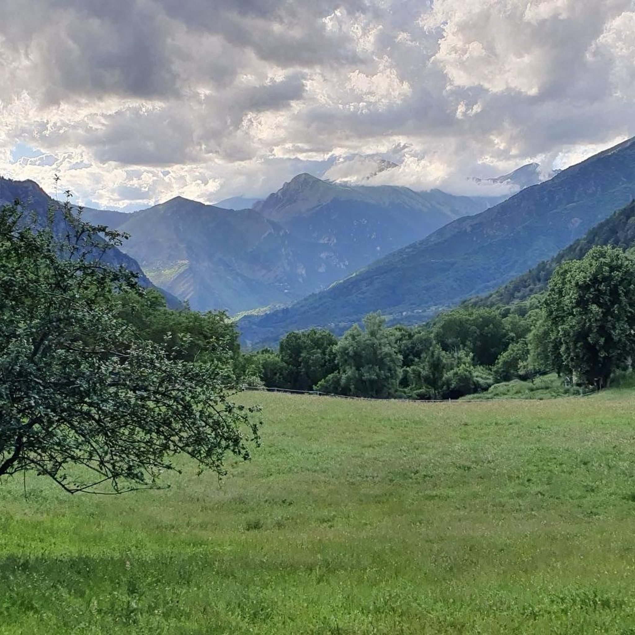
Cycling around Roquebillière
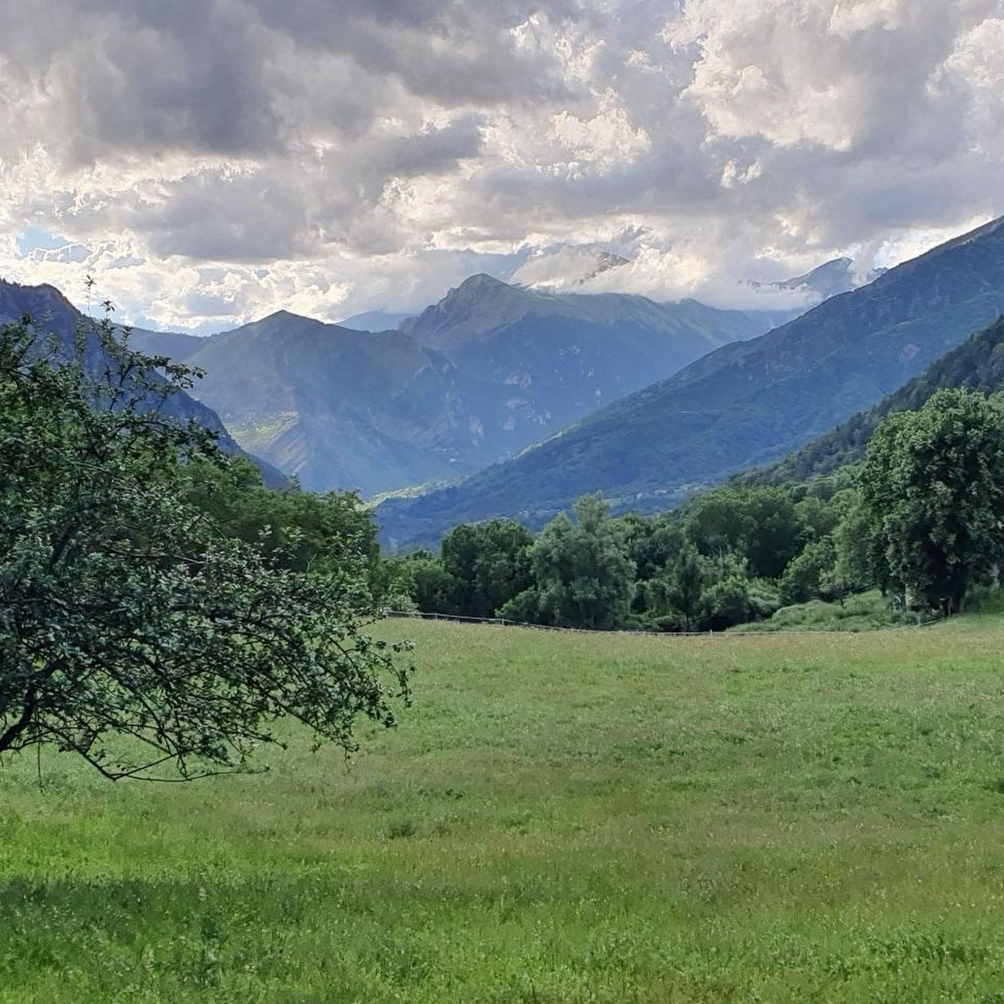
MTB Trails around Roquebillière
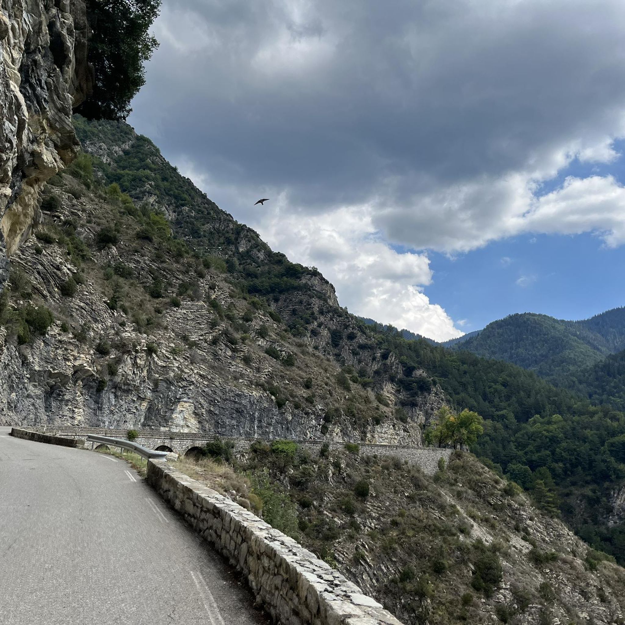
Running Trails around Roquebillière
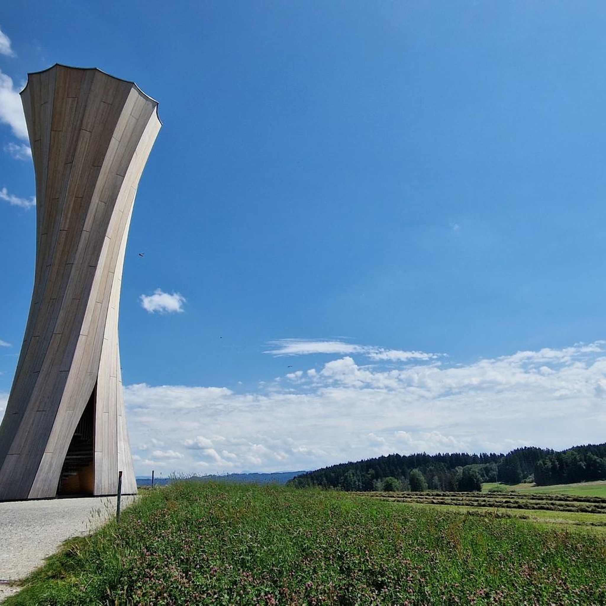
Mountain Hikes around Roquebillière
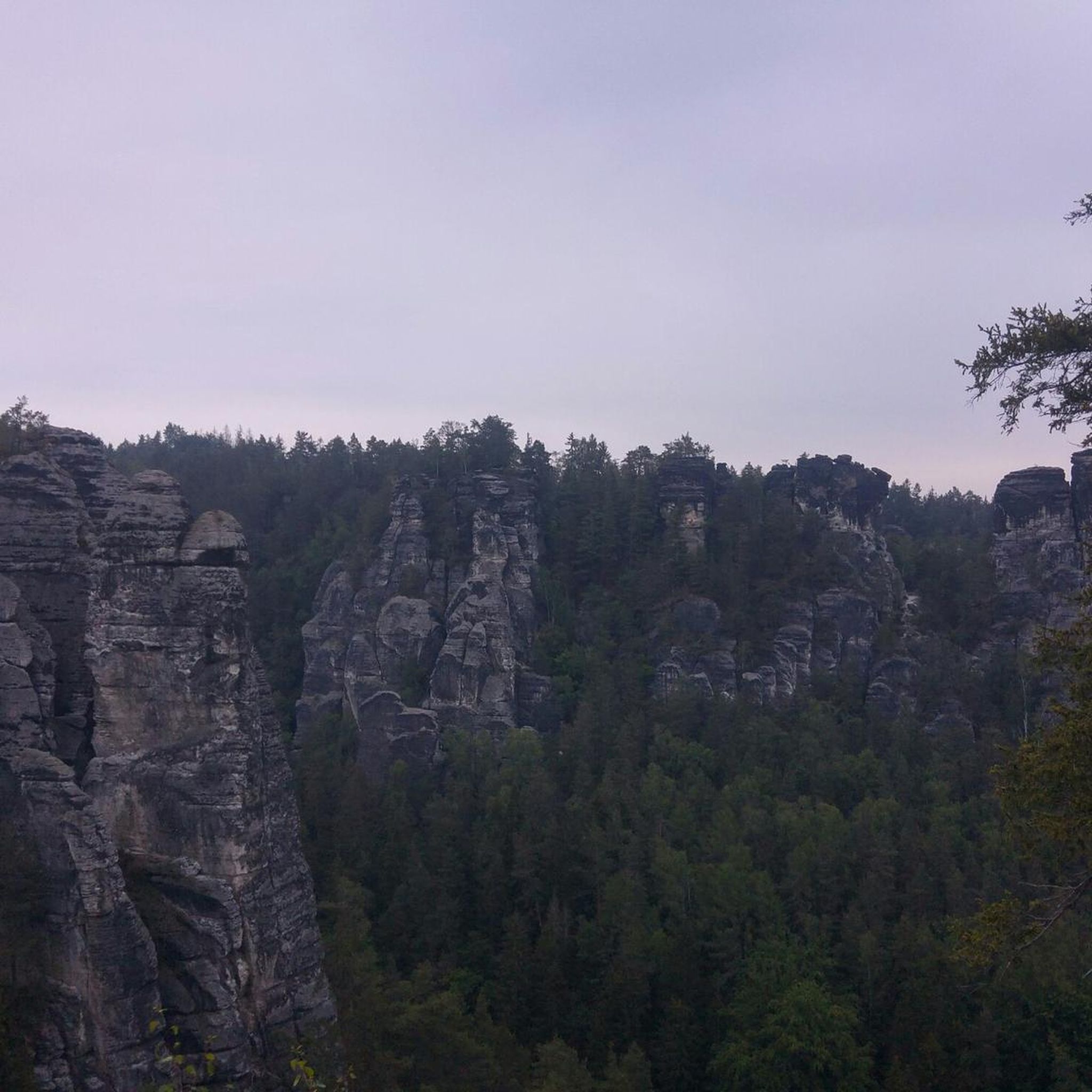
Gravel biking around Roquebillière
Other adventures around Roquebillière

Tips from the Community

The Col Saint-Martin Pass, or Col de la Colmiane, is a mountain pass in the Southern Alps located at an altitude of 1,500 meters in the Alpes-Maritimes department of France. It provides a year-round road link between the Tinée Valley to the west and the Vésubie Valley to the east.
0
0
The Col Saint-Martin Pass, or Col de la Colmiane, is a mountain pass in the Southern Alps located at an altitude of 1,500 meters in the Alpes-Maritimes department of France. It provides a year-round road link between the Tinée Valley to the west and the Vésubie Valley to the east.
0
0
The Col de Turini is a mountain pass located in the southern French Alps. It connects Lantosque, in the Vésubie Valley, to Sospel, in the Bévéra Valley. It also provides access to the Paillon Valley and the towns of Escarène and Lucéram. Rising to an altitude of 1,604 meters, it is located near the summit of the Authion Massif. The pass lies between the communes of Moulinet and La Bollène-Vésubie. A hamlet is located at the pass, where three main roads converge. A fourth road leads to Camp d'Argent, where a ski resort is located, and beyond to the summit of Authion (Pointe des Trois-Communes).
0
0

In July during the week there was almost no traffic, making it a completely relaxed drive up.
0
0

In addition to the cycling challenge offered by this 24-kilometer category one pass, this climb is notable for its beautiful scenery. The 25 hairpin bends create an epic cycling environment, all while passing through delightful heritage sites, such as the Notre-Dame de la Ménour chapel and the village of Moulinet.
0
0

The Pas de l'Arpette (2511 m) is the gateway to the Merveilles Valley, from Vésubie. Effort and beautiful emotions guaranteed. From the Gordolasque car park, cross the Countet bridge (1692 m) and turn right at milestone 412, in the direction of Pas de l'Arpette (2511 m), which you reach after crossing the Empuonrame valley. Then we can move to the Merveilles Valley, which can be visited in the company of a guide approved by the Mercantour National Park to observe the more than 40,000 rock carvings, the oldest dating back to the Copper Age and the beginning of the Bronze Age. . Age. The return is made by the same route.
0
0

The Col Saint Martin is an alpine pass which connects the Vésubie valley to the Tinée valley. It peaks at 1,500 meters above sea level. Enjoy the spectacular panorama, with views of the mountains of the Mercantour national park and the Tinée and Vésubie valleys.
0
0

The Col de la Colmiane, also known as Col Saint-Martin, peaks at 1,500 meters above sea level. This climb was featured in the 2018 Paris-Nice race on stage 7.
0
0
Frequently Asked Questions
What are some of the most notable mountain passes near Roquebillière?
Beyond the popular Col de Turini and Saint-Martin Pass (La Colmiane), the region offers several other remarkable passes. These include the high-altitude Baisse du Basto, known for potential ibex sightings, and the challenging Pas de l'Arpette Trail, which serves as a gateway to the Vallée de la Merveille. Further afield in the Mercantour National Park, you can find the iconic Col de la Bonette, often cited as the highest paved road in France, and the historic Col de Tende with its dramatic hairpin bends.
What kind of outdoor activities can I do near the mountain passes around Roquebillière?
The mountain passes near Roquebillière are excellent for a variety of outdoor activities. You can find challenging road cycling routes, such as the Lantosque – Col de Turini loop, or the Col de Turini – Braus Pass loop. For hikers, there are mountain hikes like the Lac de la Fous – Lacs du Mont Clapier loop or the Baus de la Frema loop. Running enthusiasts can explore trails like the Clot de Raut Summit – Lantosque loop. You can find more details on these activities and routes in our guides for Road Cycling Routes around Roquebillière, Mountain Hikes around Roquebillière, and Running Trails around Roquebillière.
Are there any family-friendly mountain passes or activities near Roquebillière?
While many passes offer challenging terrain, the area around Saint-Martin Pass (La Colmiane) is particularly family-friendly. The La Colmiane resort area provides activities like a giant zipline, summer toboggan, and mountain biking, making it a great destination for families looking for adventure beyond just scenic views. For hiking, look for easier sections of trails or consider the peripheral zones of Mercantour National Park.
What natural features and wildlife can I expect to see on these passes?
The mountain passes offer diverse natural beauty, from the extensive forested sections of Col de Turini to the olive groves and switchbacks of the Vésubie side of Saint-Martin Pass. Higher passes like Col de la Bonette transition to more barren, rocky, 'lunar' terrain. Wildlife sightings are common, especially chamois and ibex at higher altitudes like Baisse du Basto and Pas de l'Arpette. Marmots and bearded vultures can also be spotted in the Mercantour National Park, particularly around Col de la Bonette and Col de la Cayolle.
When is the best time to visit the mountain passes around Roquebillière?
The best time to visit the mountain passes near Roquebillière is generally from late spring to early autumn (May to October). During these months, the weather is typically more stable, and most high-altitude passes are clear of snow and open for travel. Summer offers the warmest temperatures and full access to all activities, while spring and autumn provide beautiful seasonal colors and fewer crowds. Always check local weather and road conditions before heading out, especially for higher passes.
Are there any mountain passes with historical significance near Roquebillière?
Yes, the region boasts passes with rich history. The Col de Tende, for instance, is a historic border pass on the Franco-Italian border, famous for its 'road of 50 hairpin bends' and its role in trade and military history. It's also part of ancient salt roads. The Col de la Bonette, while known for its height, also has historical significance as the highest road in France and has been featured in the Tour de France.
Which mountain passes offer the most challenging climbs for cyclists?
For cyclists seeking a challenge, the region offers several demanding ascents. The Col de Turini is legendary, with a 15.3 km climb and an average gradient of 7.24%. The Col Saint Martin also presents a challenging 16-kilometer climb with gradients between 5% and 9%. Further into Mercantour, the Col de la Bonette and Col de la Lombarde are known for their long, sustained gradients and high altitudes, making them popular among experienced cyclists.
Can I find viewpoints with panoramic scenery on these mountain passes?
Absolutely. Most mountain passes in the region offer spectacular panoramic views. From Col de Turini, you can enjoy incredible vistas towards Nice and the Mediterranean Sea. Saint-Martin Pass provides sweeping views of the Mercantour National Park mountains and both the Tinée and Vésubie valleys. The Col de la Bonette offers unparalleled high-mountain scenery and breathtaking panoramas of the Southern Alps, while Col de la Cayolle is considered one of the most beautiful passes in the Alps for its sublime wilderness setting.
What makes the Col de la Lombarde a unique mountain pass to visit?
The Col de la Lombarde is a high-altitude border pass connecting France and Italy at 2,350 meters. It's unique for its dramatic border scenery and the blend of French and Italian alpine landscapes. Cyclists, hikers, and motorists are drawn to its challenging routes and the presence of military remnants like blockhouses. The Italian side is particularly noted for its narrow, scenic road, and it provides access to the sanctuary of Sant'Anna di Vinadio, the highest in Europe.
What should I know about hiking to Pas de l'Arpette?
The Pas de l'Arpette Trail offers a rugged hiking experience and is an entry point into the renowned Vallée de la Merveille. Located at 2511 meters, it involves a significant climb of around 800m from La Gordolasque. The strenuous effort is rewarded with stunning scenery and frequent sightings of chamois and ibex. Note that stricter rules apply in the Vallée de la Merveille, including restrictions on staying at lakes and leaving marked paths, and guided tours are recommended to observe the ancient rock carvings.
Are there any mountain passes that are particularly good for spotting wildlife?
Yes, several passes offer excellent opportunities for wildlife viewing. The Baisse du Basto, approaching 3,000 meters in altitude, significantly increases your chances of encountering ibex. The Pas de l'Arpette Trail also frequently features chamois and ibex. In the wider Mercantour National Park, particularly around the Col de la Bonette and Col de la Cayolle, you might spot marmots and even bearded vultures, especially in the more remote, high-mountain areas.
What is special about the Col de la Cayolle?
The Col de la Cayolle, at 2,326 meters, is often considered one of the most beautiful passes in the Alps. It traverses the Mercantour National Park, connecting the Ubaye Valley with the Bachelard and Var valleys. The road offers a stunning diversity of landscapes, including green meadows, forests, waterfalls, and picturesque hamlets. The Var River has its source near the pass, adding to its natural charm. It's a prime spot for wildlife viewing and is popular for cycling and hiking, often forming part of scenic multi-pass routes.
Most popular routes around Roquebillière
Most popular attractions around Roquebillière

Get inspired with the komoot mobile app


Explore more
See even more epic mountain passes by checking out these guides around Roquebillière:
