The best walks and hikes around Bastorf
4.5
(778)
3,128
hikers
49
hikes
Hiking around Bastorf offers a diverse landscape characterized by its Baltic Sea coastline, rolling hills, and expansive forests. The region is situated between Kühlungsborn and Rerik, featuring coastal paths, dunes, and steep cliffs. Inland, the "Kühlung" hills provide a unique hiking experience with streams, ponds, and ravines. This area is shaped by the last Ice Age, with elevations reaching up to 128 meters.
Best hiking trails around Bastorf
- The most popular hiking route is Buk Lighthouse – Riedensee Beach loop…
Last updated: July 8, 2026
4.7
(192)
568
hikers
11.5km
03:01
90m
90m
Moderate hike. Good fitness required. Easily-accessible paths. Suitable for all skill levels.
4.7
(33)
123
hikers
Easy hike. Great for any fitness level. Easily-accessible paths. Suitable for all skill levels.

Sign up for free
4.6
(30)
111
hikers
Easy hike. Great for any fitness level. Easily-accessible paths. Suitable for all skill levels.
4.5
(57)
248
hikers
6.45km
01:39
30m
30m
Easy hike. Great for any fitness level. Easily-accessible paths. Suitable for all skill levels.
4.7
(36)
180
hikers
11.3km
02:51
20m
20m
Moderate hike. Good fitness required. Easily-accessible paths. Suitable for all skill levels.
Get access to more routes and recommendations from other explorers.
Sign up for free
Already have an account?
Our route recommendations are based on thousands of hikes, rides, and runs completed by other people on komoot.
Start today with a free account
Your next adventure awaits.
Login or Signup

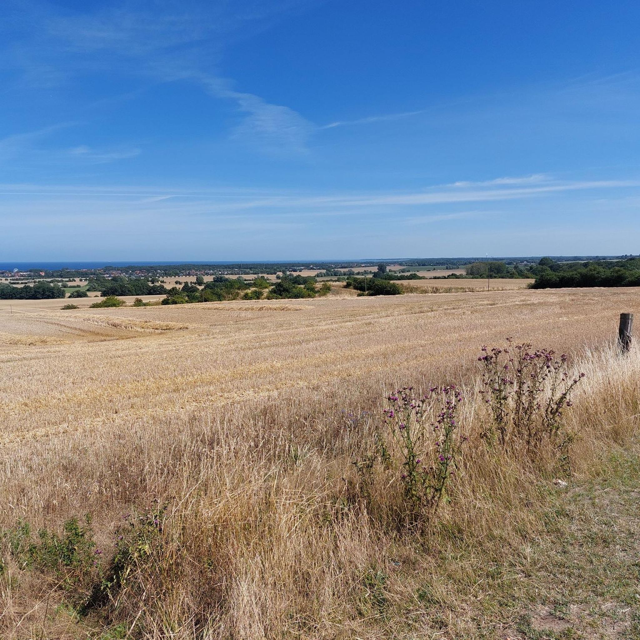
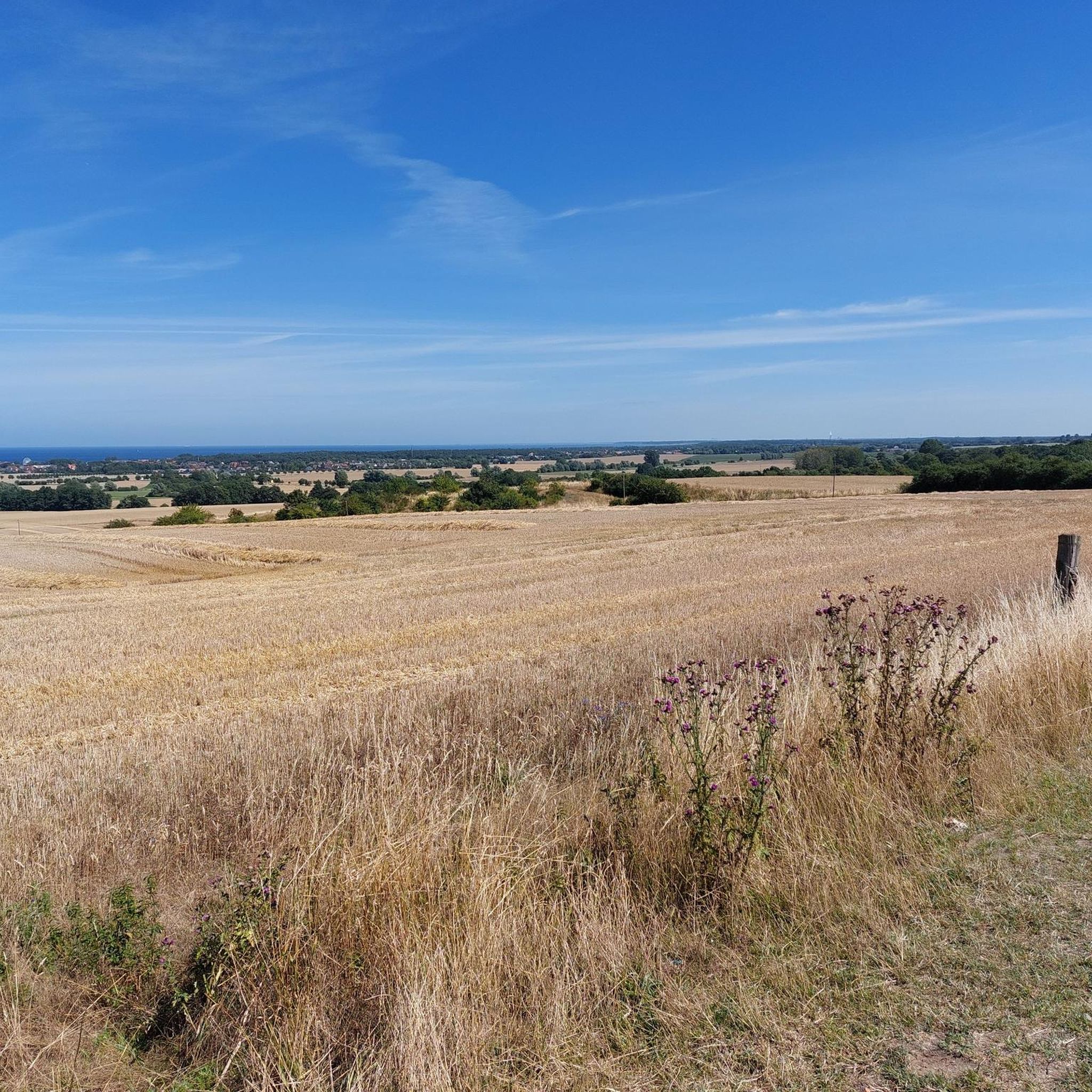
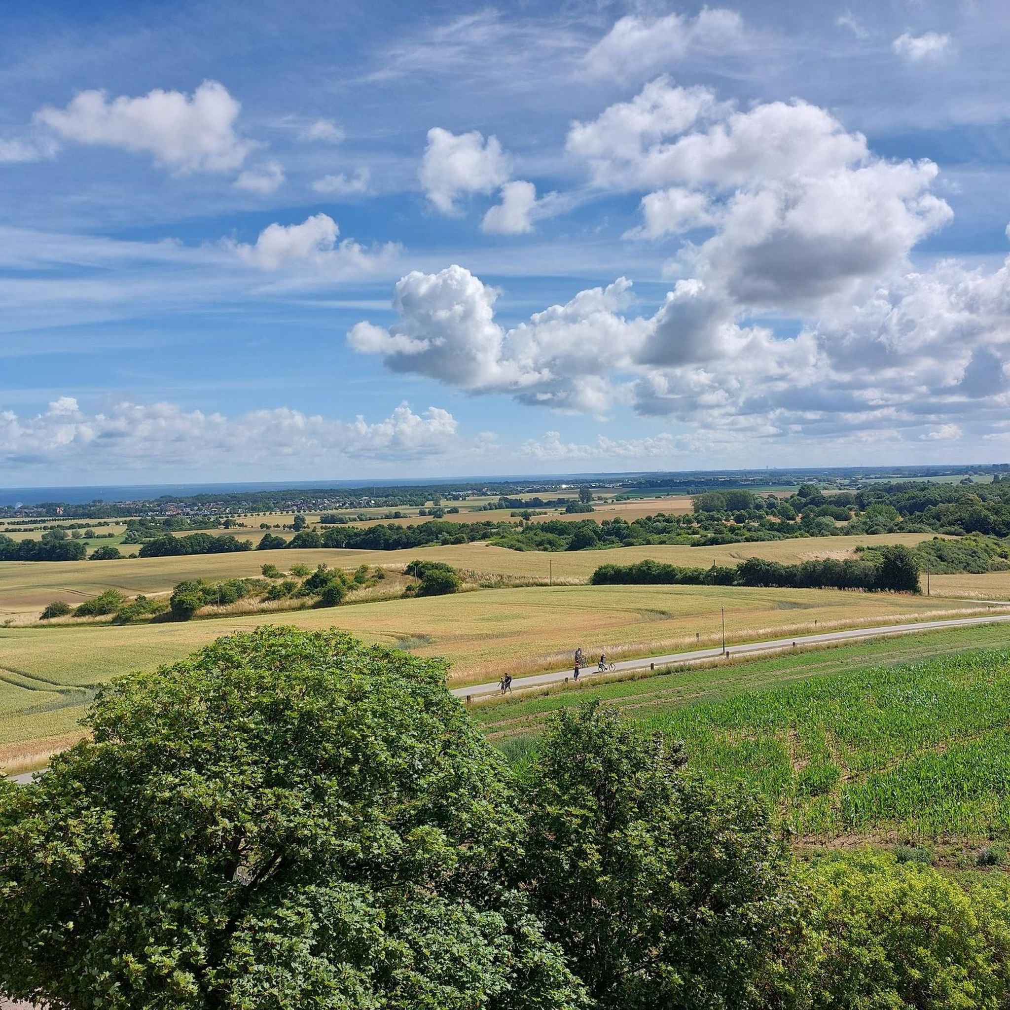
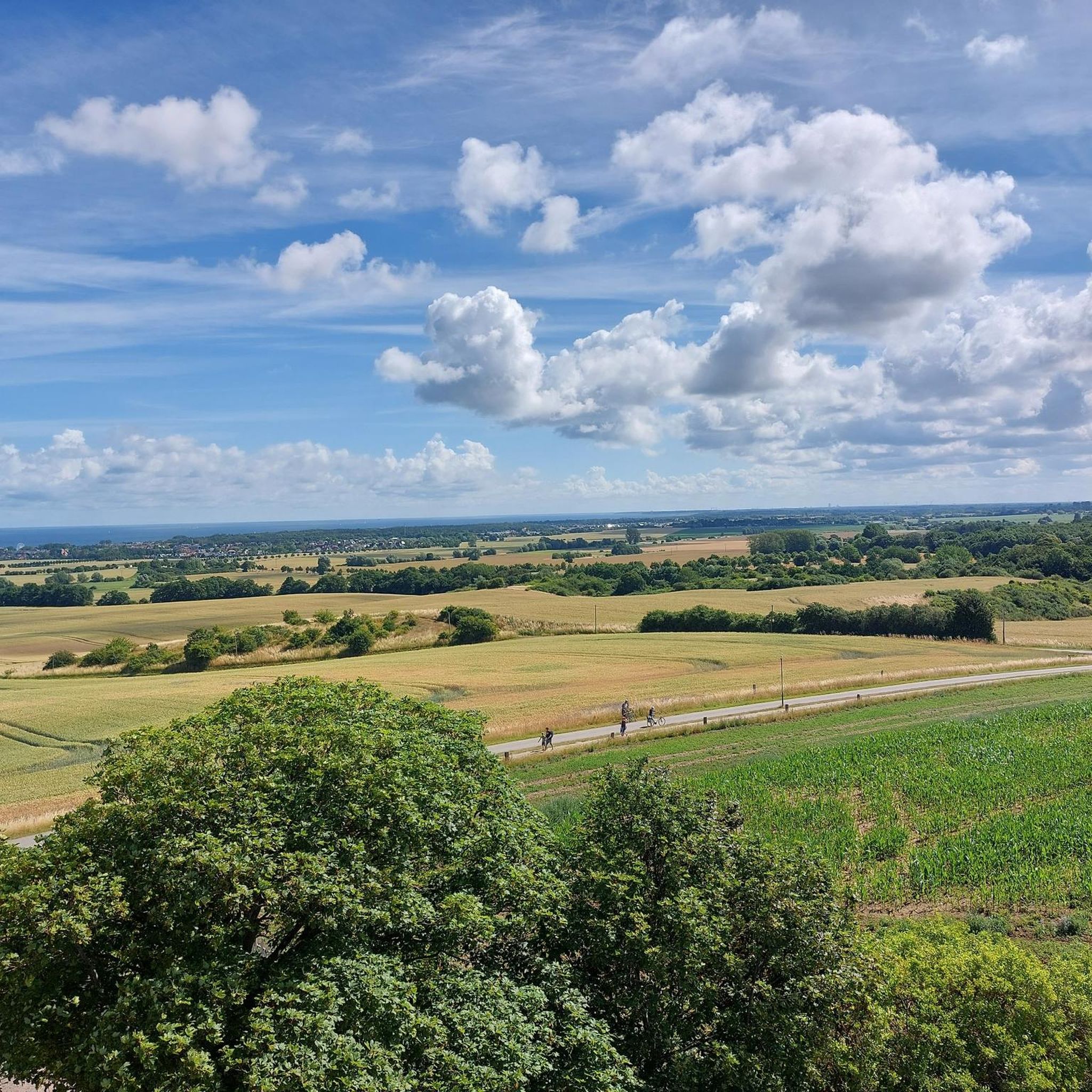
Other adventures around Bastorf

Tips from the Community

"Natural beach" – no name, no special feature. But when a 26k super-liker leaves their like, even anonymous sand automatically becomes a tourist attraction.
0
0

From the Signalberg, you can enjoy an impressive view over Lake Riedensee and the Baltic Sea. Perched high above the coast, a sweeping panorama opens up: In the foreground lies the serenely shimmering Lake Riedensee, framed by dunes and reed beds, and beyond it stretches the vast, blue Baltic Sea. On a clear day, you can see as far as the Wustrow peninsula and far along the coast. The Signalberg is a popular vantage point for walkers and nature lovers who enjoy the tranquility, the fresh sea breeze, and the unique view over the protected landscape.
3
0
At Riedensee, several viewing platforms invite you to experience the impressive natural beauty of the Baltic Sea coast up close. From here, you have a sweeping view of the lake, the dune landscape, and the sea. Nature lovers and photographers especially appreciate the platforms, as they offer ideal observation points for migratory birds and other animal species. Even at sunrise or sunset, a fascinating panorama unfolds from there, impressively highlighting the tranquil beauty of the nature reserve surrounding Riedensee.
2
0

If you're looking for a relaxing holiday, Kühlungsborn West is much quieter and less crowded. However, the beach here is narrower, but becomes more beautiful towards the west.
0
3

The building fits there and beautifully
0
0

From here it is about 200m to the lighthouse, you can easily manage
0
0

Beautiful sandy beach in Kühlungsborn. You can have a wonderful time here.
1
0
Frequently Asked Questions
How many hiking trails are available in Bastorf, and what are their difficulty levels?
Bastorf offers a wide range of hiking opportunities with over 40 trails. Approximately 25 of these are considered easy, 16 are moderate, and a few are more difficult, catering to various fitness levels and preferences.
What natural features or landmarks can I expect to see while hiking around Bastorf?
Hikers in Bastorf can explore a diverse landscape. The iconic Buk Lighthouse is a central landmark, offering panoramic views. You'll also encounter the unique 'Kühlung' hills, a forested area shaped by the Ice Age, featuring streams, ponds, and deep ravines. The Riedensee Beach and its surrounding dune landscape provide impressive natural beauty, with viewing platforms like the View of the Riedensee from the viewing platform offering expansive vistas.
Are there opportunities for coastal hiking or trails along the Baltic Sea?
Yes, Bastorf is situated directly on the Baltic Sea coastline, offering refreshing sea breezes and scenic walks. The region is part of the extensive Baltic Sea Coast Hiking Trail E9, allowing you to explore diverse coastal landscapes, including dunes and steep cliffs. Many routes provide continuous stunning views of the sea, such as the trails leading towards the Rerik Cliff Coast.
Are there family-friendly hiking options in Bastorf?
Absolutely. Bastorf offers numerous easy trails suitable for families. For example, the View of Bastorf Lighthouse – Bastorf Lighthouse and Fields loop from Riedensee is an easy 4.8 km path that provides scenic views without being too strenuous, perfect for a family outing.
Can I bring my dog on the hiking trails in Bastorf?
Generally, dogs are welcome on most hiking trails in Bastorf. However, it's always recommended to keep them on a leash, especially in nature reserves, coastal areas, or near livestock, to protect wildlife and ensure a pleasant experience for everyone. Please check local signage for any specific restrictions.
Are there any circular hiking routes available in Bastorf?
Yes, many of the trails around Bastorf are designed as circular routes, allowing you to start and end at the same point. A popular option is the Buk Lighthouse – Riedensee Beach loop from Bastorf, a moderate 11.5 km trail that offers diverse scenery.
What is the best time of year to go hiking in Bastorf?
Bastorf is enjoyable for hiking throughout much of the year. Spring and autumn offer pleasant temperatures and beautiful natural colors, with fewer crowds. Summer is ideal for coastal walks and combining hiking with beach visits, though trails can be busier. Winter hiking can be serene, especially along the coast, but requires appropriate gear for colder conditions.
How can I get to the hiking trails in Bastorf, and is parking available?
Bastorf is accessible by car, and parking is generally available at key starting points for trails, such as near the Bastorf Lighthouse or in the village center. For public transport, regional buses connect Bastorf with nearby towns like Kühlungsborn and Rerik, from where you can access various trailheads.
What makes the landscape around Bastorf unique for hiking?
The landscape around Bastorf is unique due to its striking contrast between the Baltic Sea coastline and the inland 'Kühlung' hills. These hills, often called the 'smallest low mountain range by the sea,' were shaped by the last Ice Age and feature ancient geological erratics. This combination offers hikers everything from refreshing sea views to dense forests, streams, and valleys, all within a relatively compact area.
Are there any longer or more challenging hikes for experienced hikers?
For experienced hikers seeking a challenge, Bastorf offers longer routes that explore more of the diverse terrain. An example is the Rerik Cliffs – Rerik Beach loop from Bastorf, a difficult 27.4 km trail that takes you along the dramatic Rerik Cliffs and offers extensive coastal views.
What do other hikers enjoy the most about hiking in Bastorf?
The hiking trails in Bastorf are highly rated by the komoot community, with an average score of 4.6 stars from over 600 reviews. Hikers frequently praise the varied terrain, from coastal paths with sea views to the tranquil, forested 'Kühlung' hills. The well-maintained paths and the iconic Bastorf Lighthouse are also often highlighted as favorite aspects of the region's hiking experience.
Are there any viewpoints offering extensive panoramas?
Yes, Bastorf is rich in viewpoints. The Buk Lighthouse itself, perched on a 78.8-meter hill, provides impressive panoramic views of the coastline, including Rostock and Warnemünde. Additionally, the Signalberg viewpoint near Riedensee offers extensive views over Lake Riedensee and the Baltic Sea, extending to the Wustrow peninsula on clear days.
Can I find places to eat or drink near the hiking trails?
While specific cafes or pubs directly on every trail are not guaranteed, Bastorf and the nearby resorts of Kühlungsborn and Rerik offer various dining options. Many routes pass through or near these towns, allowing hikers to find refreshments and meals after their excursions. It's advisable to carry water and snacks, especially on longer routes.
Most popular routes around Bastorf
Most popular attractions around Bastorf

Get inspired with the komoot mobile app


Explore more
Browse the best Hikes in other regions.
