The best walks and hikes around Bastheim
4.5
(9180)
34,107
hikers
60
hikes
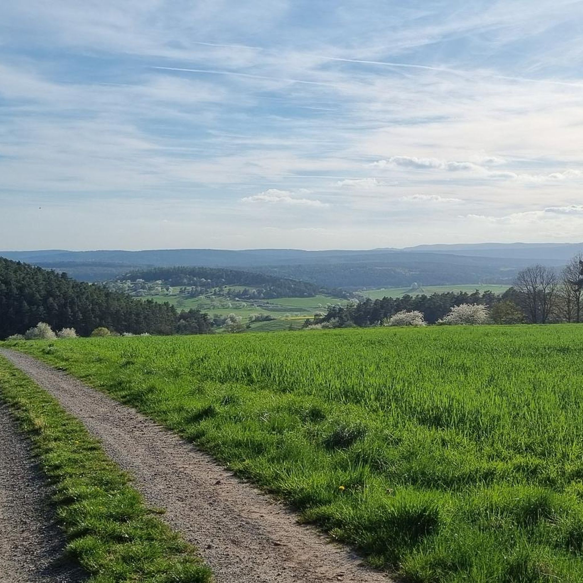
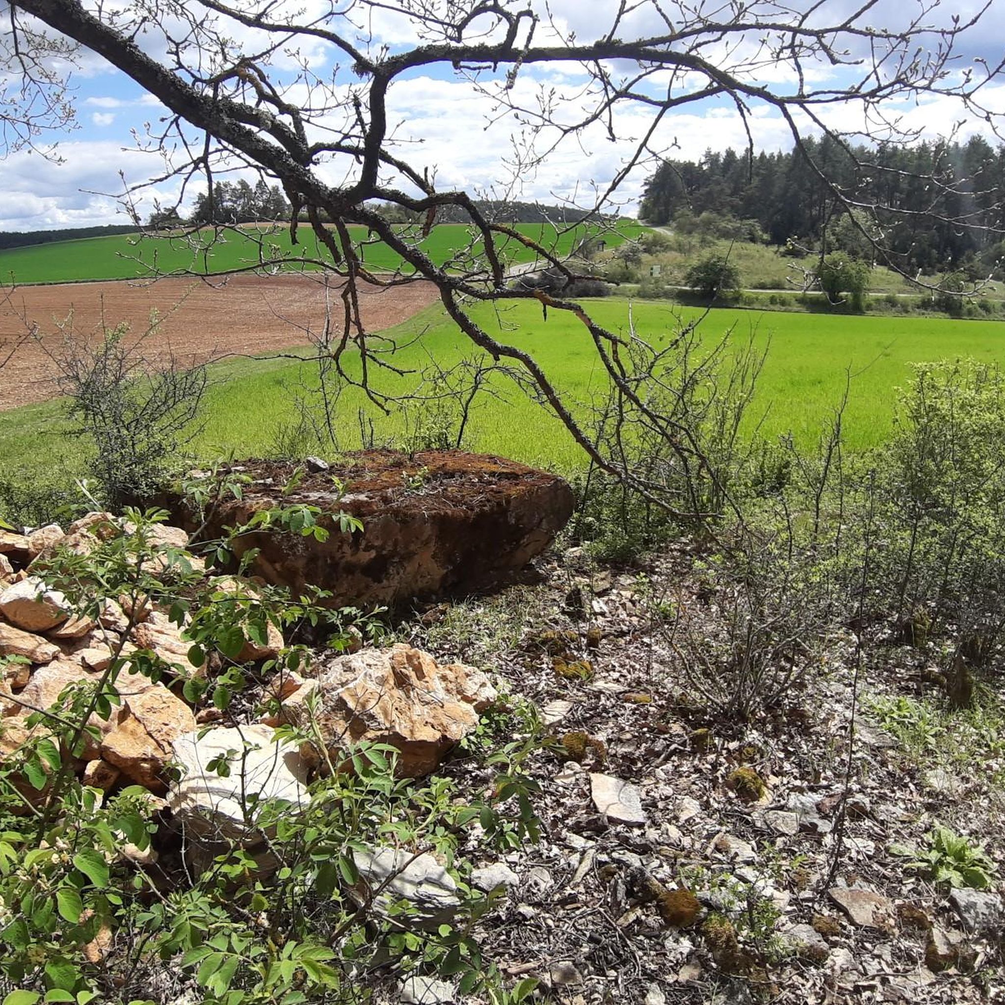
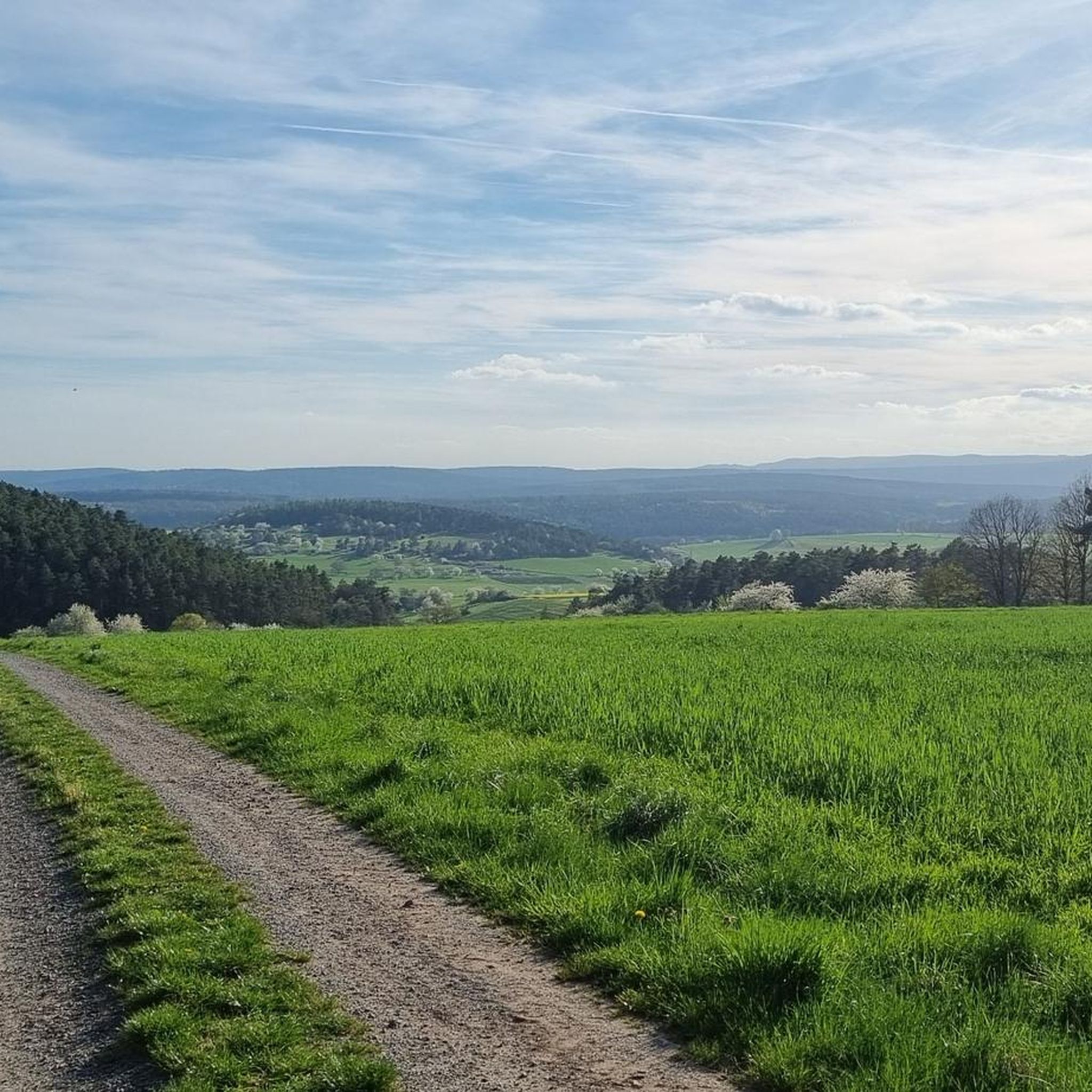
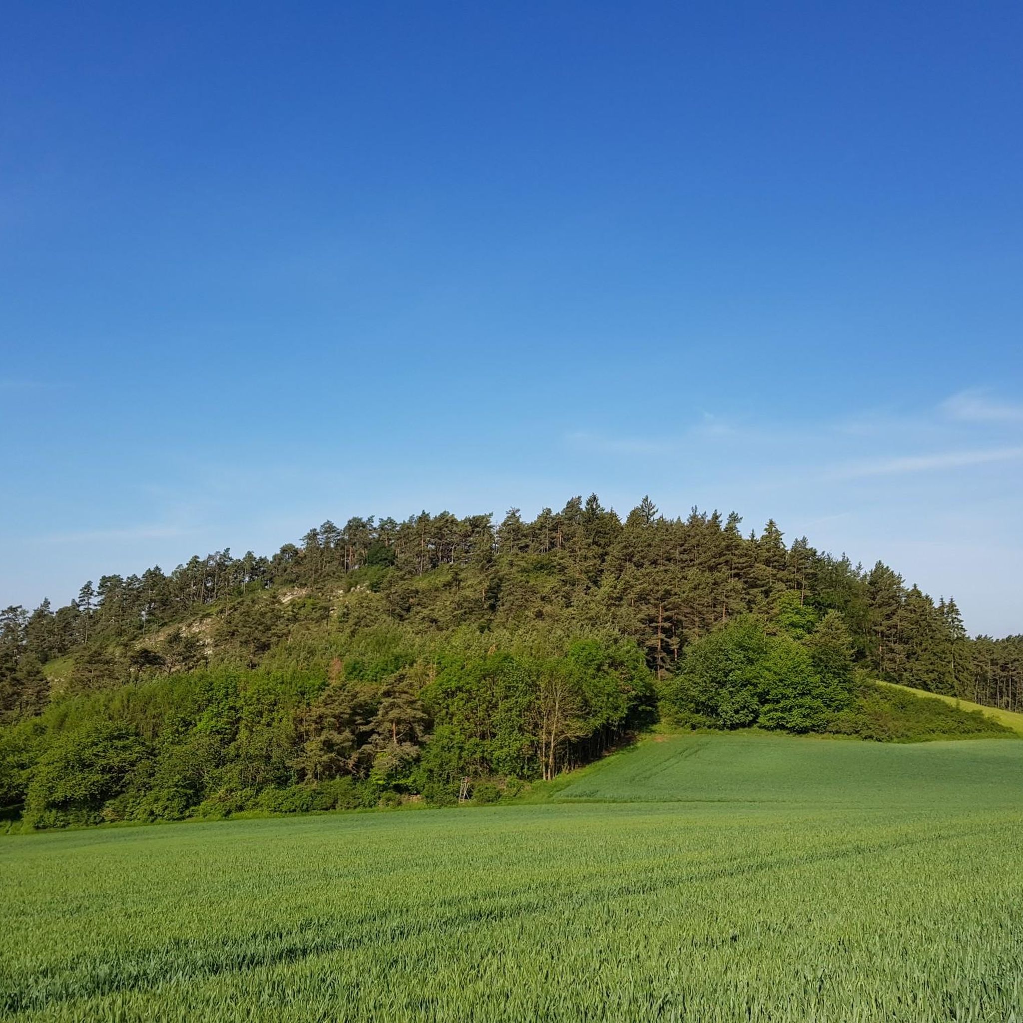
Hiking around Bastheim offers a diverse landscape characterized by rolling hills, dense woodlands, and open fields within the Rhön region. The area features numerous streams and small lakes, providing varied natural settings for outdoor activities. Elevations are generally moderate, with many routes traversing gentle slopes and valleys. This terrain supports a wide range of hiking experiences, from leisurely strolls to more extended excursions.
Best hiking trails around Bastheim
- The most popular hiking route is Nonnenpfad – Lake Frickenhäuser loop from Landkreis Rhön-Grabfeld, a 4.4 miles (7.0 km) trail that takes 1 hour 57 minutes to complete, offering scenic views around Lake Frickenhäuser.
- Another top favourite among local hikers is Gustav Fuchs Monument – Nonnenpfad loop from Bastheim, an easy 4.5 miles (7.3 km) path. This route features varied forest and open landscapes.
- Local hikers also love the Monastery Tavern – Winter Lime Tree of Geckenau loop from Landkreis Rhön-Grabfeld, a 4.2 miles (6.8 km) trail leading through rolling hills and tranquil forests, often completed in about 1 hour 50 minutes.
- Hiking around Bastheim is defined by its rolling hills, tranquil forests, and picturesque valleys. The network offers options for different ability levels, from easy walks to more moderate hikes.
- The routes in Bastheim are highly rated by the komoot community with an average score of 4.6 stars from over 7,500 reviews. More than 31,500 hikers have used komoot to explore Bastheim's varied terrain.
Last updated: October 31, 2026
4.5
(2)
27
hikers
Easy hike. Easily walkable paths.
4.0
(3)
19
hikers
6.70km
01:49
90m
90m
Easy hike. Easily walkable paths.

4.8
(6)
14
hikers
Easy hike. Easily walkable paths.
5.0
(1)
8
hikers
Moderate hike. Good fitness required. Easily walkable paths.
15
hikers
Easy hike. Easily walkable paths.
Get access to more routes and recommendations from other explorers.
Already have an account?
Our route recommendations are based on thousands of hikes, rides, and runs completed by other people on komoot.
Start today with a free account
Your next adventure awaits.

Tips from the Community


New catering team, Asian cuisine - deliciously complemented with Franconian dishes.
0
0

oh how well done - mega in green and to relax
0
0
A remarkable linden tree with lodger bugs...
0
0

always beautiful in the afternoon-evening sun
1
0
very nice meandering along the edge of the forest slope
0
0

Beautiful path in the forest. The Frickenbach stream flows right next to it.
3
0
Frequently Asked Questions
How many hiking trails are available around Bastheim?
Bastheim offers a wide selection of hiking opportunities, with over 60 trails recorded on komoot. The majority of these, around 45 routes, are classified as easy, making the area accessible for various fitness levels.
Are there any easy or beginner-friendly hikes in Bastheim?
Yes, Bastheim is particularly well-suited for easy and beginner-friendly hikes. A significant portion of the trails, about 45 routes, are rated as easy. For a pleasant walk, consider the Monastery Tavern – Winter Lime Tree of Geckenau loop from Landkreis Rhön-Grabfeld, which is an easy 6.8 km route.
What kind of natural attractions can I discover while hiking in Bastheim?
The Bastheim area, nestled in the Rhön region, features diverse natural attractions. You can find unique geological formations like the Basalt Prism Wall at Gangolfsberg or the intriguing Teufelskeller (Devil’s Cellar). There are also several picturesque lakes, including the Basalt Lake at the Stone House and Silbersee.
Are there any waterfalls to see on hikes near Bastheim?
Yes, for those interested in waterfalls, the Devil's Mill Waterfall is a notable natural highlight in the vicinity of Bastheim. It offers a refreshing sight during your hiking adventures.
What do other hikers say about the trails in Bastheim?
The hiking trails in Bastheim are highly regarded by the komoot community, boasting an impressive average rating of 4.6 stars from over 1,600 reviews. Hikers frequently praise the area's tranquil forests, rolling hills, and the well-maintained paths that make for enjoyable experiences.
Are there any longer hiking trails for more experienced hikers?
While many trails are easy, Bastheim also offers options for longer excursions. For a moderate challenge, consider the Langbrunnen Pond – Schweinberg State Forest loop from Landkreis Rhön-Grabfeld, which spans 11.8 km and takes approximately 3 hours 11 minutes to complete.
Can I find circular hiking routes in the Bastheim area?
Yes, circular routes are a common feature of hiking in Bastheim, allowing you to start and end your journey in the same location. Many of the trails, such as the Monastery Tavern – Winter Lime Tree of Geckenau loop, are designed as loops, offering convenient exploration of the landscape.
What is the best time of year to go hiking in Bastheim?
The Rhön region, including Bastheim, is beautiful year-round. Spring brings blooming meadows, summer offers lush greenery, and autumn transforms the forests with vibrant colors. Even in winter, with appropriate gear, the snow-covered landscapes can be very picturesque. The moderate elevations make it accessible for hiking in most seasons.
Are there any viewpoints or scenic spots along the trails?
Yes, the rolling hills and varied landscapes around Bastheim offer several scenic spots. While specific named viewpoints are not detailed in every route, the open fields and higher elevations often provide expansive views of the Rhön countryside. Keep an eye out for natural clearings and elevated paths for picturesque vistas.
Are the hiking trails in Bastheim suitable for families with children?
Absolutely. With a large number of easy trails and moderate elevations, Bastheim is very family-friendly. Many routes feature gentle paths through woodlands and open fields, perfect for walks with children. The shorter, easy loops are particularly well-suited for families looking for a relaxed outdoor experience.
Are there any cafes or places to get refreshments near the hiking trails?
While specific cafes directly on every trail are not listed, the villages and towns within the Bastheim area, such as Bastheim itself, typically offer local eateries and guesthouses where you can find refreshments and traditional Rhön cuisine after your hike. It's always a good idea to check local opening times.
Is parking available at the trailheads in Bastheim?
Parking availability varies by trailhead. In general, smaller villages and popular starting points for hikes in the Rhön region often have designated parking areas, sometimes near community centers or local attractions. It is advisable to check specific route descriptions on komoot for detailed parking information for your chosen trail.
Most popular routes around Bastheim
Most popular attractions around Bastheim

Get inspired with the komoot mobile app


Explore more
Browse the best Hikes in other regions.
