The best cycling routes around Saint-Martin-De-Vaulserre
4.4
(293)
2,545
riders
121
rides
Touring cycling routes around Saint-Martin-De-Vaulserre traverse an undulating landscape within the Isère department, offering access to the diverse terrain of the Auvergne-Rhône-Alpes region. The commune's elevation ranges from 320 to 584 meters, providing natural inclines and descents. It is situated on the "Terres froides" plateau and borders the Chartreuse Regional Natural Park, characterized by mountains, valleys, and dense forests. This area features quiet roads and scenic routes around lakes such as Aiguebelette and Paladru, making it suitable for varied cycling…
Last updated: November 1, 2026
28
riders
23.5km
01:37
350m
350m
Moderate bike ride. Good fitness required. Mostly paved surfaces.
5.0
(2)
12
riders
Hard bike ride. Very good fitness required. Mostly paved surfaces.

4.5
(2)
17
riders
33.9km
02:35
840m
840m
Hard bike ride. Very good fitness required. Mostly paved surfaces.
12
riders
43.2km
03:01
730m
730m
Hard bike ride. Very good fitness required. Mostly paved surfaces.
17
riders
129km
10:00
3,500m
3,500m
Hard bike ride. Very good fitness required. Mostly paved surfaces.
Get access to more routes and recommendations from other explorers.
Already have an account?
Our route recommendations are based on thousands of hikes, rides, and runs completed by other people on komoot.
Start today with a free account
Your next adventure awaits.
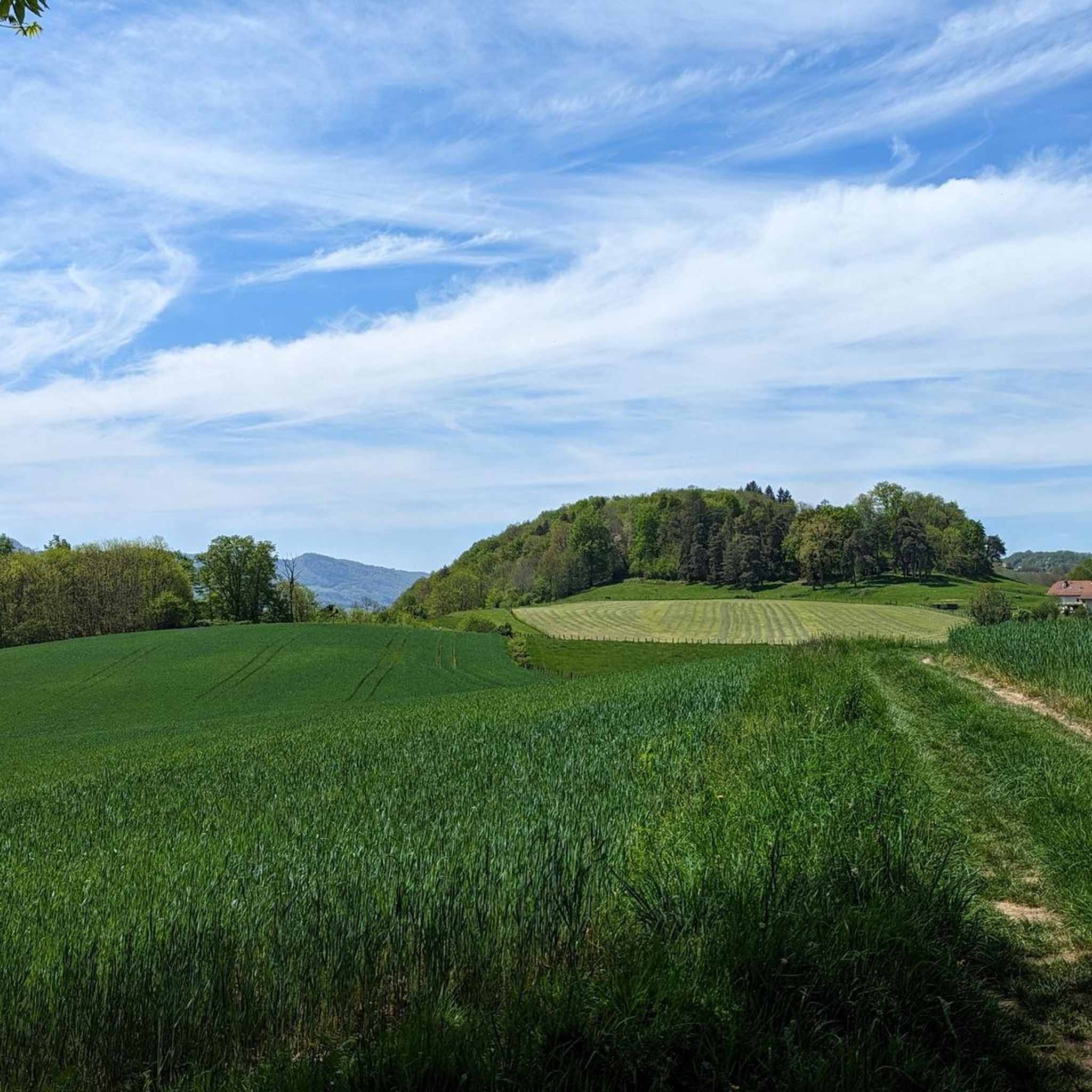
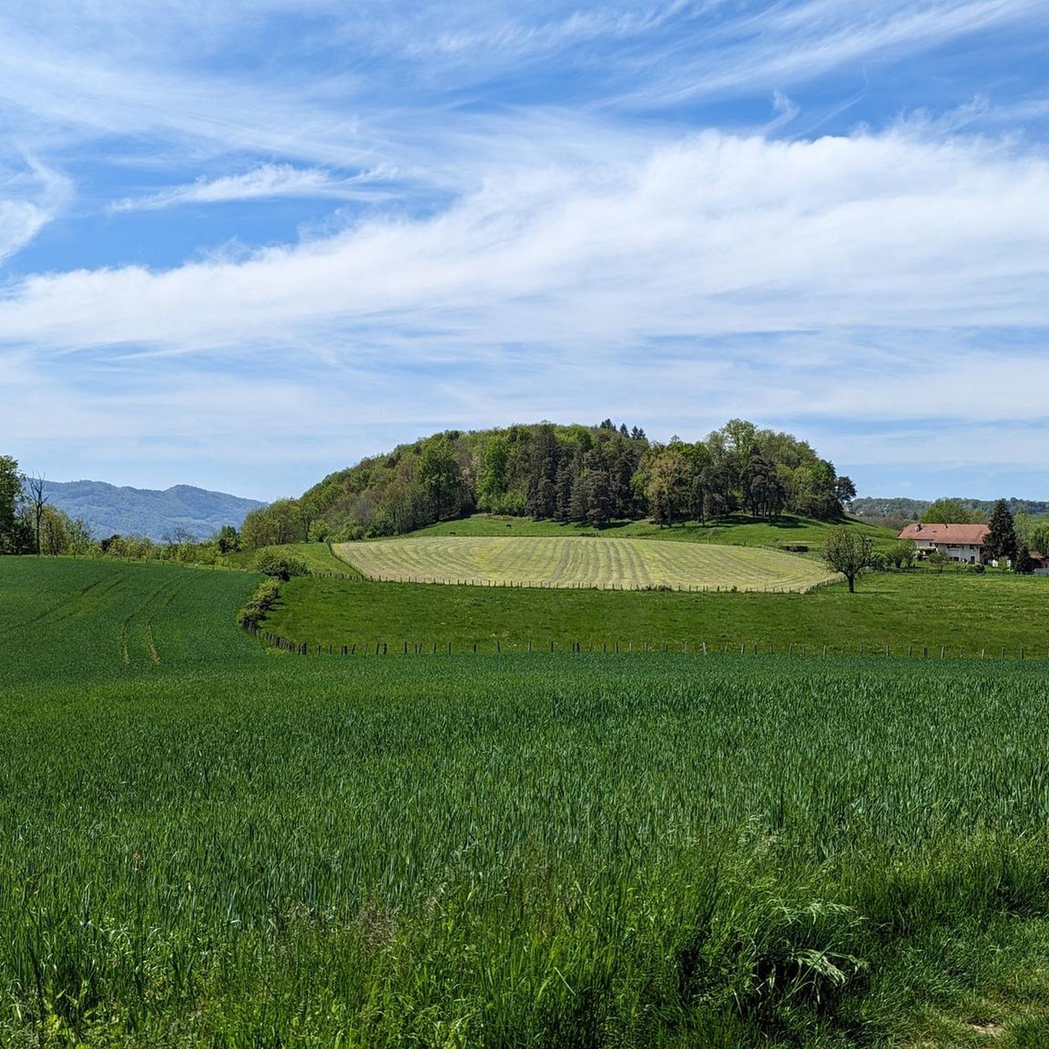
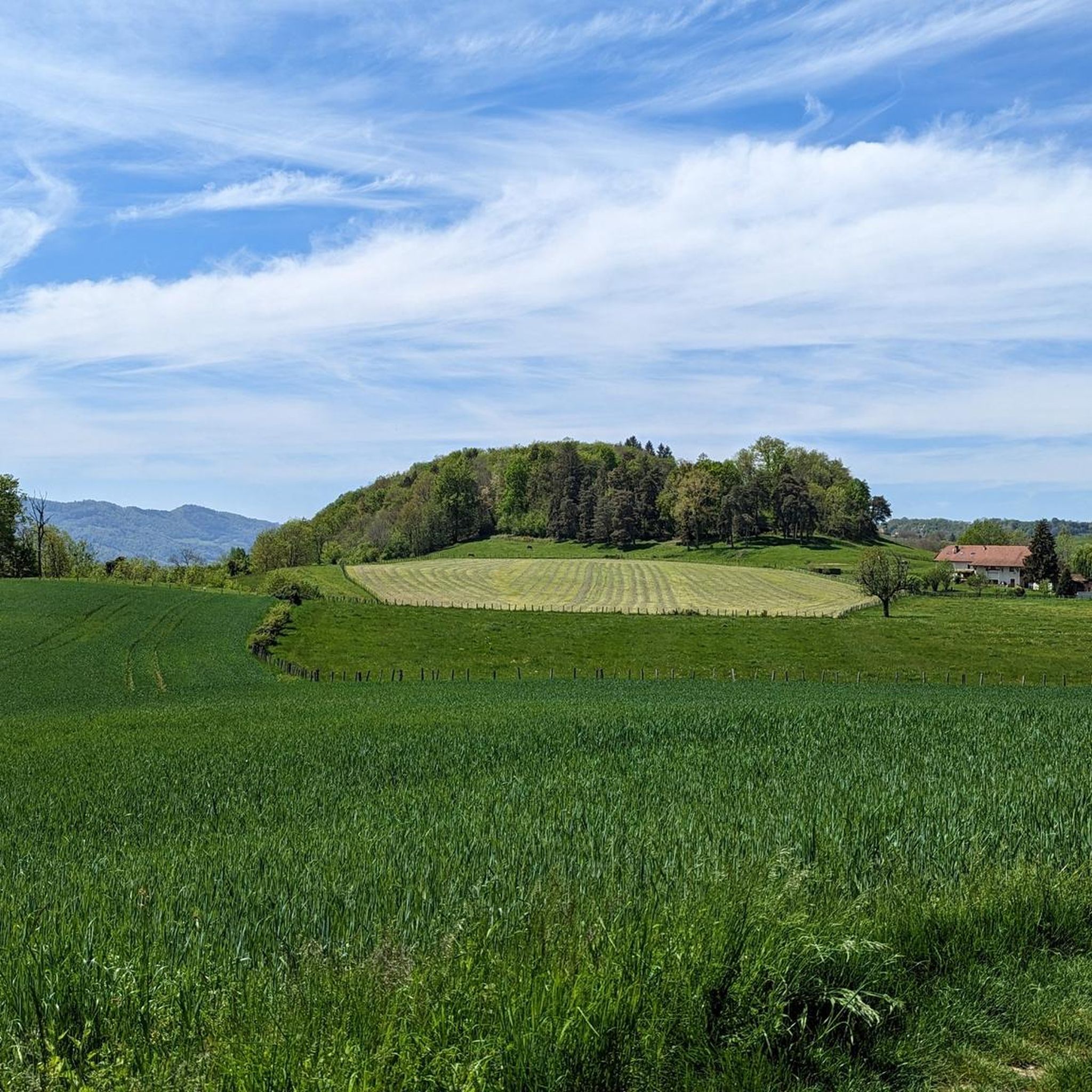

Tips from the Community

The trail runs along the Guiers river to its confluence with the Rhône, on the edge of Savoie.
0
0
The lake of Romagnieu (known as the O'lac leisure center) is a 15-hectare artificial body of water renowned for relaxation, outdoor recreation, and water activities.
0
0
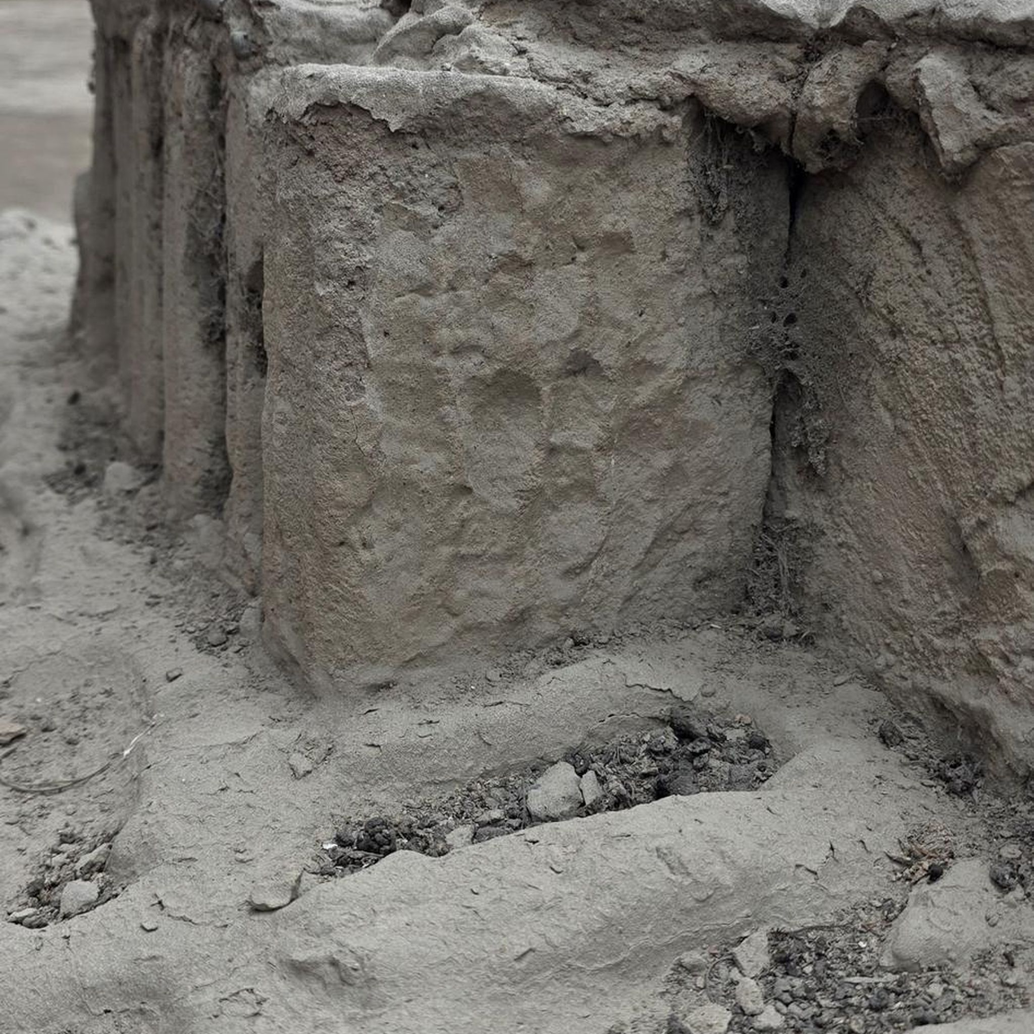
For a long time, this bridge marked the political border between the Kingdom of France (Dauphiné side) and the States of Savoy. In 1822, a border stone (stone no. 5) had been set in its center to demarcate the two territories. This historic stone has since been moved to the Place des Tilleuls in the village, where it serves as a fountain.
0
0

Great straight in soft gravel. The route remains pleasant with views of the Chartreuse while staying on the flat.
0
0
Passage during the market, there was a nice activity.
0
0

Nice flat gravel path to avoid the very busy road between St Laurent du Pont and St Joseph de rivière, up to the Demay bridge. Runs along the l'Herretang canal
0
0

Proper climb from Chambery, beautiful views of the Chartreuse.
0
0
Unfortunately unpaved cycle path, but beautiful landscape, partly views of the Chartreuse.
3
0
Frequently Asked Questions
How many touring cycling routes are available around Saint-Martin-De-Vaulserre?
There are over 120 touring cycling routes in the Saint-Martin-De-Vaulserre area, offering a wide range of experiences from moderate rides to more challenging routes with significant climbs. The komoot community has rated these routes with an average score of 4.4 stars.
What kind of terrain can I expect when touring cycling in this region?
The region around Saint-Martin-De-Vaulserre features an undulating landscape, characteristic of the "Terres froides" plateau, with elevations ranging from 320 to 584 meters. You'll find quiet roads with changing gradients, from gentle slopes to challenging climbs, especially as you approach the Chartreuse Regional Natural Park. The area also offers scenic rides around picturesque lakes like Lake Aiguebelette and Lake Paladru.
Are there any family-friendly touring cycling routes near Saint-Martin-De-Vaulserre?
Yes, while many routes offer varied challenges, there are options suitable for families looking for easier rides. The broader Chartreuse area and routes around lakes often provide more gentle sections. For specific easy routes, you can explore the 10 easy touring cycling routes available in the region.
Are there circular touring cycling routes available?
Many of the touring cycling routes around Saint-Martin-De-Vaulserre are designed as loops, allowing you to start and finish in the same location. For example, the popular Chemin des marais – Lake Paladru loop from Saint-Béron - La Bridoire is a circular route that takes you through varied landscapes.
What natural features or landmarks can I see along the touring cycling routes?
The routes often pass by significant natural features and local landmarks. You can explore areas near picturesque lakes such as Lake Aiguebelette and Lake Paladru. Along your rides, you might encounter highlights like the Grenant Stream, the Old Saint-Martin Bridge, or the Waterfalls of the Ruisseau de la Pissoire. The Gorges of the Grotte de Saint-Christophe are also accessible in the wider region.
Are there challenging routes for experienced touring cyclists?
Absolutely. The region offers 71 difficult touring cycling routes, many featuring significant elevation gain. Routes like the View of Lake Aiguebelette – Lake Aiguebelette loop from Saint-Bueil or the Crusille Pass (573 m) – Col du Banchet loop from Le Pont-de-Beauvoisin provide substantial climbs and rewarding descents, often traversing parts of the Chartreuse massif known for its demanding terrain.
Can I find routes with scenic views of Lake Aiguebelette?
Yes, Lake Aiguebelette is a prominent feature in the region, and several touring cycling routes offer stunning views of its turquoise waters. A popular option is the View of Lake Aiguebelette loop from Le Pont-de-Beauvoisin, which provides beautiful vistas of the lake and its surroundings.
What is the best season for touring cycling in Saint-Martin-De-Vaulserre?
The spring and autumn months generally offer the most pleasant conditions for touring cycling in the Isère department, with milder temperatures and beautiful scenery. Summer can also be enjoyable, though it's advisable to start earlier in the day to avoid the midday heat. Winter can be challenging due to colder temperatures and potential snow in higher elevations, especially closer to the Chartreuse mountains.
Is public transport available to access cycling routes around Saint-Martin-De-Vaulserre?
While Saint-Martin-De-Vaulserre is a rural commune, public transport options in the broader Isère department can help access the region. It's recommended to check local bus services or regional trains to nearby towns like Le Pont-de-Beauvoisin or La Tour-du-Pin, which may offer connections closer to various route starting points. Always verify if bikes are permitted on board.
Where can I park my car when starting a touring cycling route?
Parking is generally available in the villages and towns that serve as starting points for many routes. For example, in Le Pont-de-Beauvoisin, you can typically find parking facilities. When planning your route, look for designated parking areas in the commune of Saint-Martin-De-Vaulserre or other nearby villages to ensure convenient access to your chosen trail.
Are there any routes that explore the 'Terres froides' plateau?
Yes, Saint-Martin-De-Vaulserre is situated on the northern part of the 'Terres froides' plateau, meaning many routes naturally traverse this characteristic undulating terrain. You'll experience the rural charm and natural inclines and descents typical of this area, offering a true taste of the local landscape.
What do other touring cyclists enjoy most about cycling in Saint-Martin-De-Vaulserre?
The area is highly rated by the komoot community, with an average score of 4.4 stars from over 290 reviews. Touring cyclists often praise the varied terrain, the scenic beauty of the lakes and valleys, and the challenging climbs that provide rewarding views. The proximity to the Chartreuse Regional Natural Park also offers diverse cycling experiences.
Most popular routes around Saint-Martin-De-Vaulserre
Most popular attractions around Saint-Martin-De-Vaulserre

Get inspired with the komoot mobile app


Explore more
Browse the best Cycling routes in other regions.
