The best road cycling routes around Coublevie
4.5
(277)
6,727
riders
11
rides
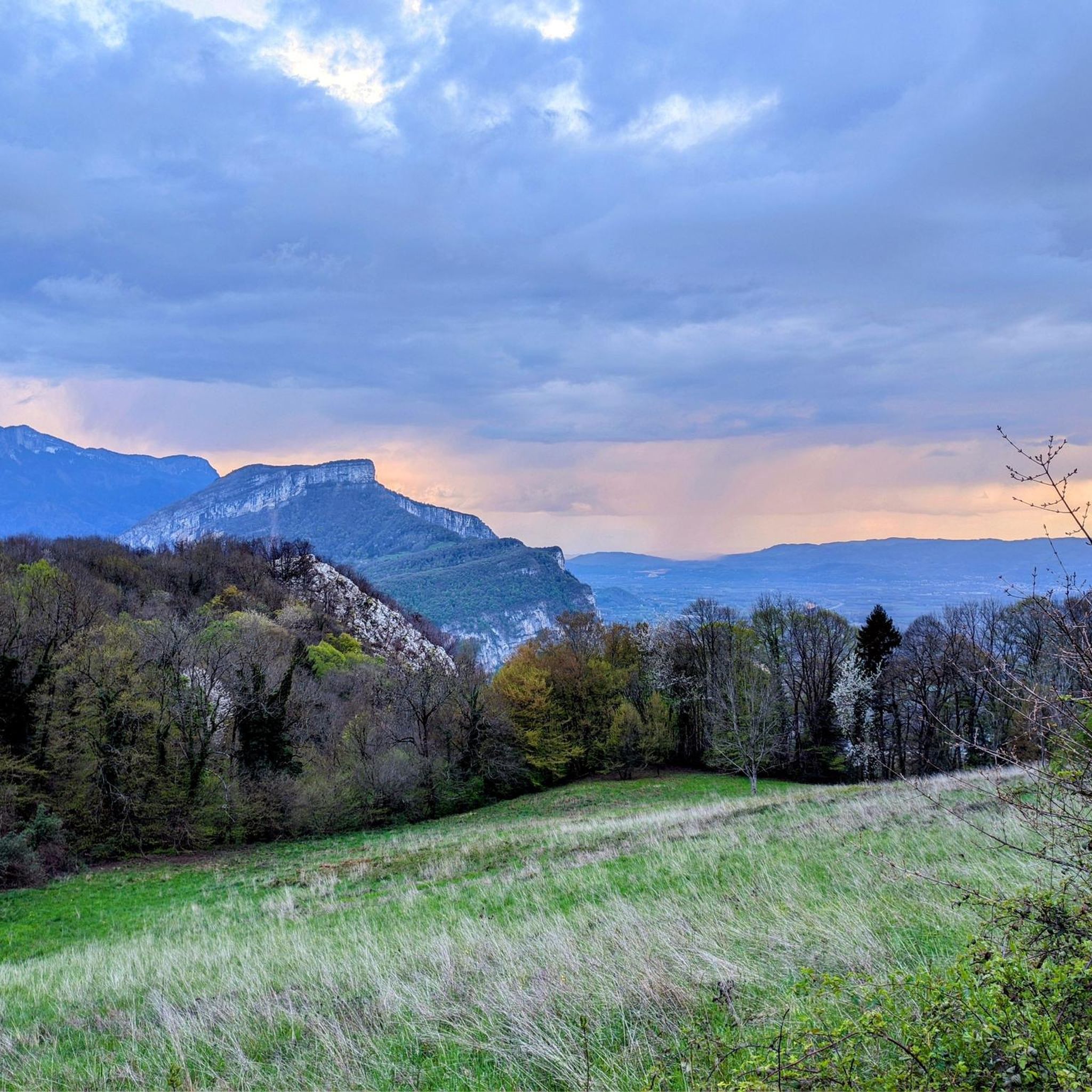
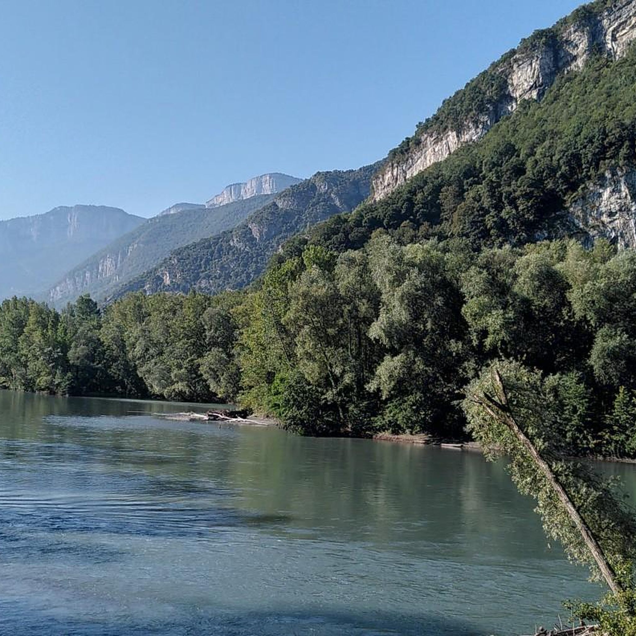
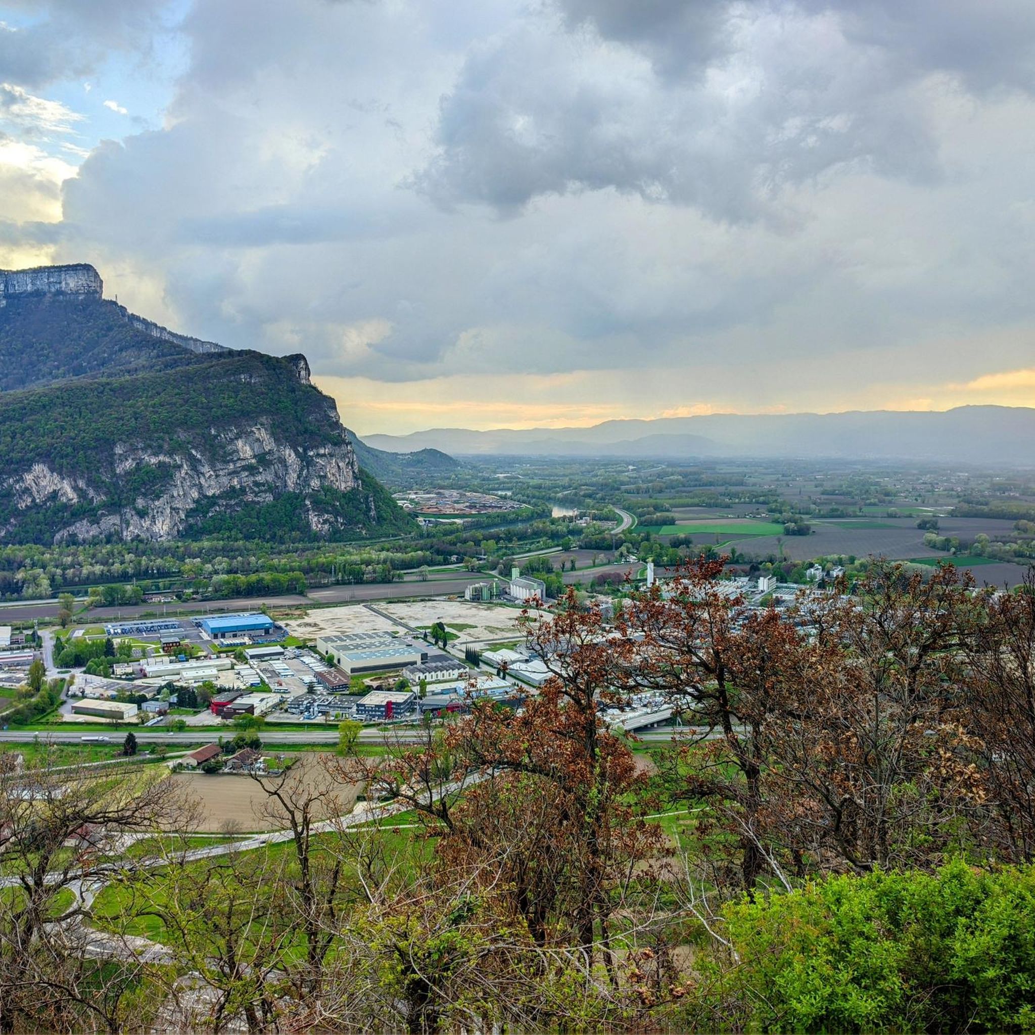
Road cycling around Coublevie offers routes through the pre-Alpine landscape of the Chartreuse Regional Natural Park. The terrain is characterized by significant elevation changes, including ascents to mountain passes and descents into deep gorges. Cyclists can expect a mix of winding roads through forested areas and open sections with views of the surrounding peaks and valleys. The region provides a diverse environment for road cycling, from challenging climbs to more rolling routes.
Best road cycling routes around Coublevie
- The most…
Last updated: July 2, 2026
4.6
(17)
266
riders
38.1km
01:58
650m
650m
Moderate road ride. Good fitness required. Mostly well-paved surfaces and easy to ride.
4.7
(3)
167
riders
87.3km
05:05
2,110m
2,110m
Hard road ride. Very good fitness required. Mostly well-paved surfaces and easy to ride.

Sign up for free
4.7
(3)
75
riders
33.8km
01:40
510m
510m
Moderate road ride. Good fitness required. Mostly well-paved surfaces and easy to ride.
27
riders
27.4km
01:18
360m
360m
Moderate road ride. Good fitness required. Mostly well-paved surfaces and easy to ride.
18
riders
32.0km
01:50
600m
600m
Moderate road ride. Good fitness required. Mostly well-paved surfaces and easy to ride.
Get access to more routes and recommendations from other explorers.
Sign up for free
Already have an account?
Our route recommendations are based on thousands of hikes, rides, and runs completed by other people on komoot.
Start today with a free account
Your next adventure awaits.
Login or Signup

Tips from the Community

Small pass, easy climb from the north, great descent to the south.
1
0
Divided village, Savoie and Isère, as well as churches and restaurants.
2
0
Great landscape, easy climb, quite a lot of traffic.
2
0
Small pass in the Chartreuse, beautiful views and relatively quiet road.
2
0


I love this village. It's an ideal starting point for a hike to the Cirque de Saint-Même.
0
0

Here is the route for the ascent of the Col des Mille Martyrs starting from Saint-Nicolas-de-Macherin
1
0

From Saint Laurent du Pont, a demanding 14km climb, with many sections at over 10%. It is divided into three parts: 9km of irregular ascent (6 to 11.5% /100m) to the junction for the Chartreuse Monastery. Then 2km of flat terrain to the foot of St Pierre de Chartreuse and finally a very steep climb (several sections at +12% /100m) to the Col de Cucheron. A pass not to be underestimated! 25 degrees at St Laurent = 15 degrees at the top of the pass and its very shaded slopes. Dress accordingly.
2
0
Frequently Asked Questions
How many road cycling routes are available around Coublevie?
There are over 10 diverse road cycling routes around Coublevie, catering to various skill levels. These include 3 easy, 7 moderate, and 1 difficult route, all offering unique experiences through the region's pre-Alpine landscape.
What kind of terrain can I expect when road cycling in Coublevie?
Road cycling in Coublevie features a pre-Alpine landscape within the Chartreuse Regional Natural Park. You'll encounter significant elevation changes, including ascents to mountain passes and descents into deep gorges. The routes offer a mix of winding roads through forested areas and open sections with panoramic views of surrounding peaks and valleys.
Are there any challenging road cycling routes for experienced riders?
Yes, for experienced riders seeking a challenge, the region offers routes with substantial elevation gain. A notable difficult route is the Col du Cucheron (1,139 m) – Gorges du Guiers Mort loop from Coublevie, which spans 54.2 miles (87.3 km) and includes over 2,100 meters of ascent, traversing the scenic Gorges du Guiers Mort.
Are there any easier or beginner-friendly road cycling routes in Coublevie?
Yes, Coublevie offers several easier routes suitable for beginners or those looking for a less strenuous ride. While specific 'easy' routes are available, many moderate routes can be approached at a comfortable pace. For example, the Gorges de Crossey – Pierre Chave Bridge loop from Coublevie is a moderate 20.9 miles (33.6 km) trail with around 514 meters of elevation gain, offering a good balance.
What are some scenic highlights or points of interest along the road cycling routes?
The routes around Coublevie offer stunning natural beauty. You can enjoy views of the Vercors massif (View of the Vercors massif), or visit viewpoints like Plan du Rey, Rocher de Bellevue Viewpoint, and Roche Brune Viewpoint. Many routes also pass through picturesque gorges and over mountain passes such as Col des Mille Martyrs and Placette Pass.
Are there circular road cycling routes available?
Yes, many of the road cycling routes around Coublevie are designed as loops, allowing you to start and end in the same location. An example is the popular Pierre Chave Bridge – Col des Mille Martyrs loop from Coublevie, a 23.5 miles (37.8 km) trail featuring a notable climb to a mountain pass.
What do other road cyclists think about the routes in Coublevie?
The road cycling routes in Coublevie are highly regarded by the komoot community, holding an average rating of 4.6 stars from over 230 reviews. Cyclists often praise the diverse terrain, the challenging climbs, and the beautiful scenery of the Chartreuse Regional Natural Park.
What is the best time of year for road biking in Coublevie?
Given the pre-Alpine landscape and mountain passes, the best time for road biking in Coublevie is typically from late spring through early autumn (May to October). During these months, the weather is generally more stable, and mountain passes are clear of snow, offering optimal conditions for cycling.
Are there any routes that offer a good balance of distance and elevation for a moderate ride?
Absolutely. For a moderate ride with a good balance, consider the Pierre Chave Bridge – Miribel-les-Échelles Church loop from Coublevie. This route covers 47.7 miles (76.7 km) with approximately 766 meters of elevation gain, providing a rewarding experience without being overly strenuous.
Can I find routes that include multiple mountain passes?
Yes, the region is known for its mountain passes. Many routes incorporate several, offering a classic road cycling experience. For instance, the Pierre Chave Bridge – Placette Pass loop from Coublevie is a moderate 32 km route that includes the ascent to Placette Pass, providing a taste of the region's iconic climbs.
Most popular attractions around Coublevie

Get inspired with the komoot mobile app


Explore more
Browse the best Road cycling routes in other regions.
