The best running trails around Les Haies
4.4
(207)
7,203
runners
431
runs
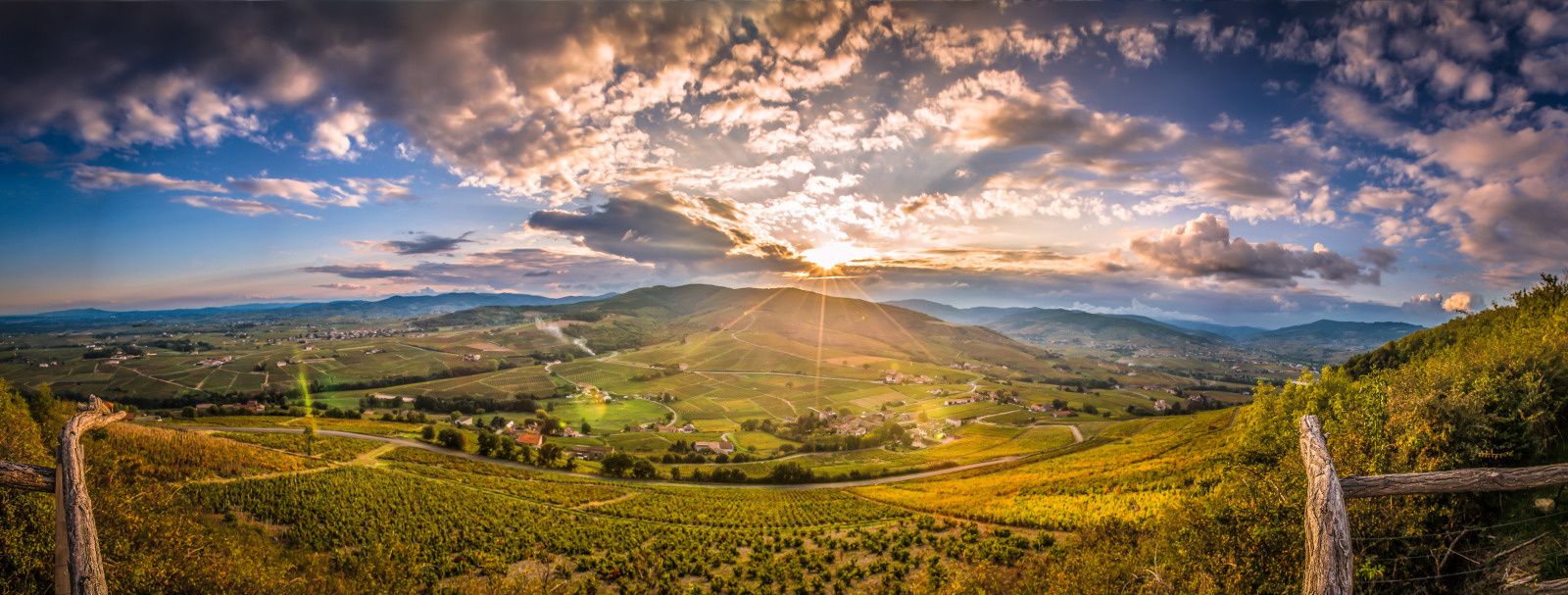
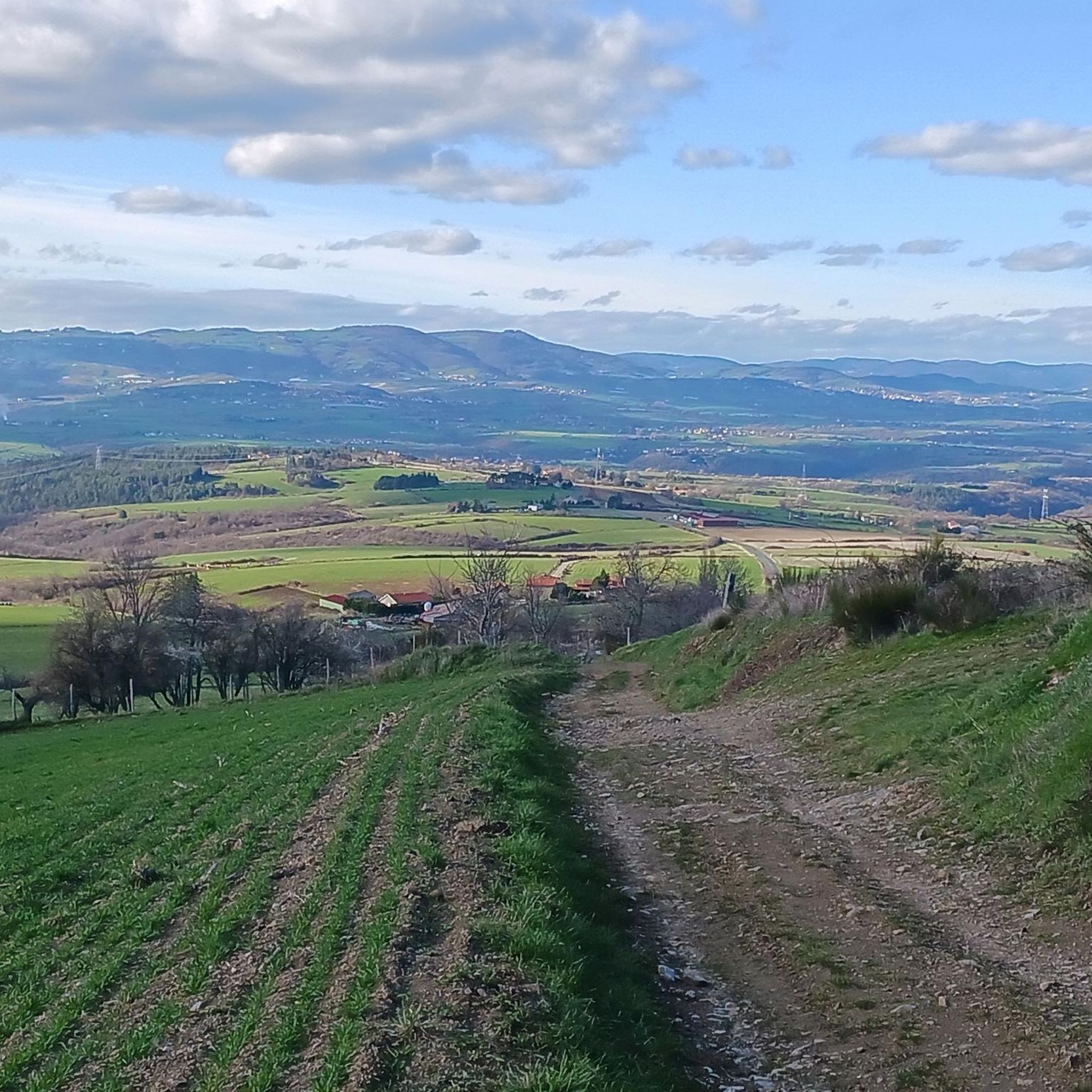
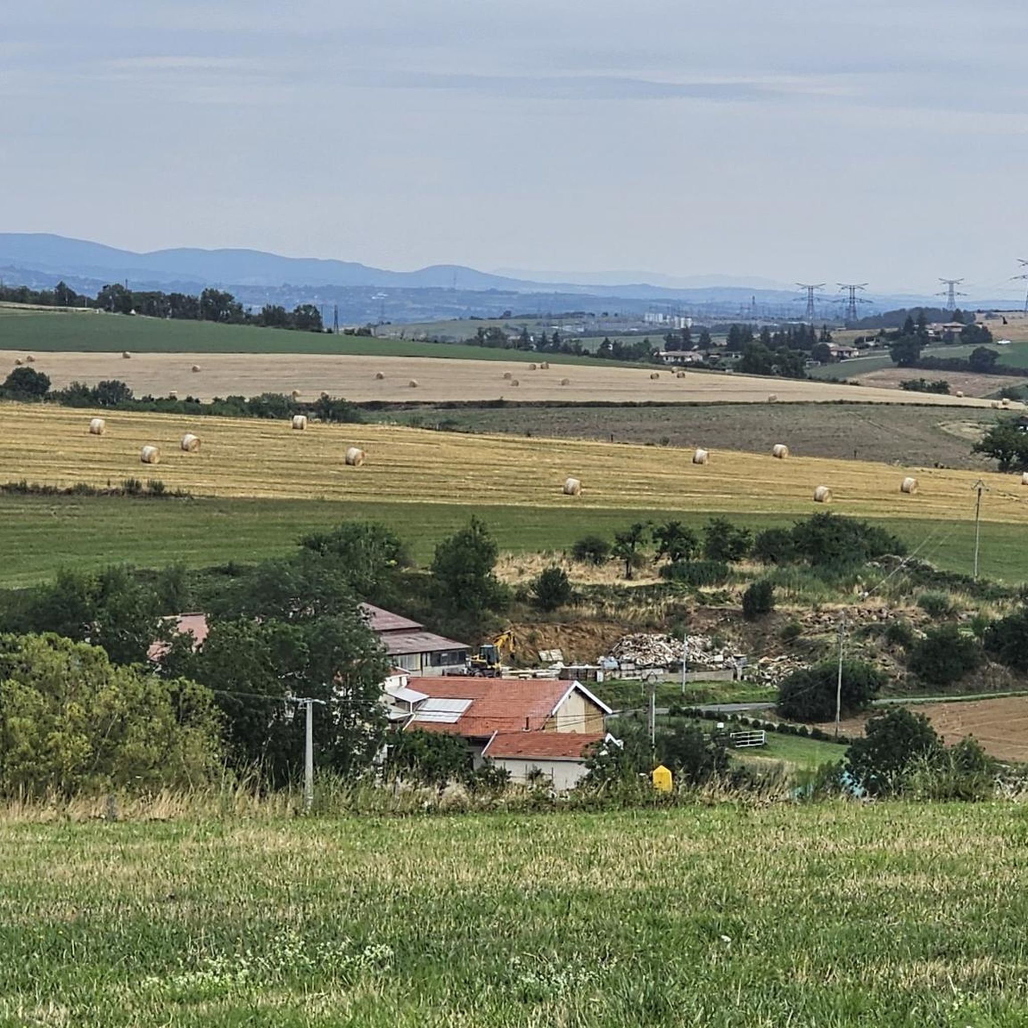
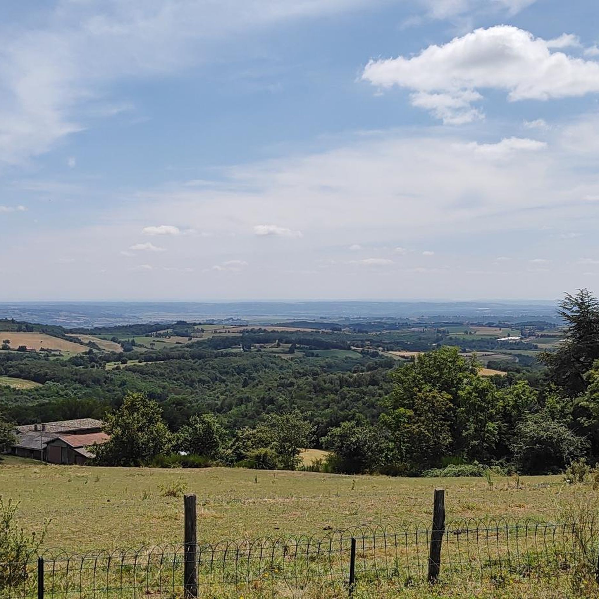
Jogging routes Les Haies traverse a landscape characterized by extensive hedgerows, which form vital ecological corridors. These natural features create a mosaic of fields, woodlands, and winding paths, offering varied terrain for runners. The rural environment provides a peaceful and immersive experience, connecting joggers with nature. This region offers a diverse setting for running, from open fields to more sheltered, tree-lined sections.
Best jogging routes around Les Haies
- The most popular jogging route is Running loop from Croix Régis,…
Last updated: July 1, 2026
4.0
(2)
21
runners
10.6km
01:08
180m
180m
Moderate run. Good fitness required. Mostly paved surfaces. Suitable for all skill levels.
18
runners
20.4km
02:44
780m
780m
Hard run. Very good fitness required. Mostly paved surfaces. Suitable for all skill levels.

Sign up for free
10
runners
13.2km
01:50
620m
620m
Hard run. Very good fitness required. Mostly accessible paths. Some sure footedness required.
5
runners
6.43km
00:48
200m
190m
Moderate run. Good fitness required. Mostly paved surfaces. Suitable for all skill levels.
7
runners
5.89km
00:47
230m
230m
Moderate run. Good fitness required. Mostly paved surfaces. Suitable for all skill levels.
Get access to more routes and recommendations from other explorers.
Sign up for free
Already have an account?
Our route recommendations are based on thousands of hikes, rides, and runs completed by other people on komoot.
Start today with a free account
Your next adventure awaits.
Login or Signup

Other adventures around Les Haies

Tips from the Community

We did this hike yesterday, it's worth the detour but being in good physical condition and walking poles are mandatory ☺️
0
0

Nestled on the slopes of Mont Minister in the Pilat massif, this geological formation attracts many curious people. This natural cave would be the cause of a collapse of part of the mica schist strata emerging from the ground on the hillside.
0
2
This beautiful forest track bypasses Mont Monnet. It offers beautiful views of the surroundings. It is ideal for mountain biking or gravel.
0
0

Mont Monnet (782 meters) is located at the northeastern end of the Pilat massif. Its rocky ridge offers an exceptional panorama of the Rhône valley from the orientation table. Also worth seeing is the chapel and the beautiful statue of Notre-Dame-d'en-Haut, long dedicated to pilgrimages.
2
0

The Col de Grenouze rises at the end of eight kilometers of climbing, with an elevation gain of 462 meters. The average gradient is 5.7% with maximum gradients of 17%.
1
0

Mont Monnet peaks at 782 meters and is located at the northeastern end of the Pilat massif. Its rocky crest offers an exceptional panorama of the Rhône valley from the orientation table.
1
1

Wide track that bypasses Mont Monnet. Can be done in both directions.
1
0

The path is very steep, only for expert riders. DH section is with big steps and rocks, even walking the path is difficult !
0
0
Frequently Asked Questions
How many running routes are available in Les Haies?
Les Haies offers a wide selection of running routes, with over 400 trails to explore. This includes a mix of easy, moderate, and difficult options to suit various fitness levels.
Are there running routes suitable for beginners in Les Haies?
Yes, beginners will find several suitable options. There are 24 easy routes available, providing a gentle introduction to running in the region's unique hedgerow landscapes. These routes typically feature less elevation and shorter distances.
What kind of terrain can I expect when running in Les Haies?
The terrain in Les Haies is quite varied, characterized by extensive hedgerows that create a mosaic of fields, woodlands, and winding paths. You can expect to run through open spaces, sheltered tree-lined sections, and paths that follow ecological corridors. This offers a stimulating and diverse experience for runners.
Are there any circular running routes in Les Haies?
Many of the running routes in Les Haies are circular, allowing you to start and finish at the same point. For example, the Running loop from Le Grand Bois is a moderate 6.6-mile (10.6 km) path that guides you through a mix of open areas and woodlands.
What do other runners enjoy most about jogging in Les Haies?
The running routes in Les Haies are highly rated by the komoot community, with an average score of 4.4 stars from over 150 reviews. Runners often praise the tranquil, immersive experience provided by the rural environment and the chance to connect with nature amidst the biodiverse hedgerow landscapes.
Are there any scenic spots or landmarks to see along the running routes?
Yes, the area around Les Haies features several interesting natural and man-made landmarks. You might encounter the Vallée de l'Arbuel, the Les Roches de Marlin, or the Madonne de la Croix-Régis. These highlights add to the scenic beauty and cultural interest of your run.
Can I run with my dog on the trails in Les Haies?
While specific dog-friendly regulations can vary by individual trail, the natural environment of Les Haies, characterized by hedgerows and rural paths, generally offers a pleasant setting for running with dogs. Always ensure your dog is under control and check for any local signage regarding leash requirements or restricted areas.
What is the best time of year for running in Les Haies?
The varied plant species within the hedgerows contribute to seasonal changes in scenery, making running enjoyable throughout the year. Spring offers blossoms, summer provides lush greenery, and autumn brings vibrant colors. The hedgerows also act as natural windbreaks, offering some protection from the elements, which can be beneficial during a run in any season.
Are there options for longer, more challenging runs?
Absolutely. For those seeking a greater challenge, Les Haies offers 125 difficult routes. An example is the Grenouze Pass – Mont Ministre loop from Longes, a demanding 20.2 km (12.6 miles) trail with significant elevation gain, perfect for experienced runners.
What makes running in Les Haies a unique experience?
Running in Les Haies is unique due to its landscape dominated by extensive hedgerows. These aren't just boundaries; they are vital ecological corridors and biodiversity hotspots. This means your run is often accompanied by a diverse range of flora and fauna, offering a truly immersive and lively natural environment that connects you deeply with the rural surroundings.
Are there any family-friendly running options in Les Haies?
Yes, with 24 easy routes and 273 moderate routes, there are plenty of options that families can enjoy. These trails offer a chance to experience the natural beauty of the hedgerow landscape together, often with less strenuous inclines and shorter distances, making them suitable for a family outing.
Is parking generally available near the running routes in Les Haies?
While specific parking information for each route varies, as a rural area, you can often find parking in designated areas near trailheads or in nearby villages. It's advisable to check the route details on komoot for specific parking suggestions before heading out.
Most popular attractions around Les Haies

Get inspired with the komoot mobile app


Explore more
Browse the best Running Trails & Routes in other regions.
