The best mountain hikes around Séguret
5.0
(6)
14
hikers
3
hikes
Mountaineering around Séguret is characterized by the dramatic limestone formations of the Dentelles de Montmirail, offering varied terrain for ascents and traverses. The region features a mix of rocky peaks, forested slopes, and scenic valleys, providing diverse challenges for mountaineers. Elevations range from moderate climbs to more demanding routes, with many trails winding through vineyards and offering panoramic views of the surrounding Provençal landscape. The area's geology makes it a notable destination for those seeking technical and scenic mountaineering experiences.
…Last updated: June 24, 2026
5.0
(2)
10
hikers
4.90km
01:47
230m
230m
Hard mountaineering route. Great for any fitness level. Sure-footedness, sturdy shoes and alpine experience required.
5.0
(2)
2
hikers
9.89km
03:03
370m
360m
Moderate mountaineering route. Good fitness required. Easily-accessible paths. Suitable for all skill levels.

Sign up for free
5.0
(2)
2
hikers
11.7km
03:57
480m
480m
Hard mountaineering route. Good fitness required. Sure-footedness, sturdy shoes and alpine experience required.
Our route recommendations are based on thousands of hikes, rides, and runs completed by other people on komoot.
Start today with a free account
Your next adventure awaits.
Login or Signup

Tips from the Community

Very steep (vertical) climb after about 2 km can be avoided by a small detour.
0
0


hiking shoes recommended as it is steep.
0
0

tough climbing and scrambling in some parts but doable, the views are really beautiful!
0
0

Access via a small goat path to the summit of the Dentelles, 360° viewpoint over the Comtat Venaissin
1
0

nice rest area with the possibility to climb the Rocher du MIDI on foot
1
0

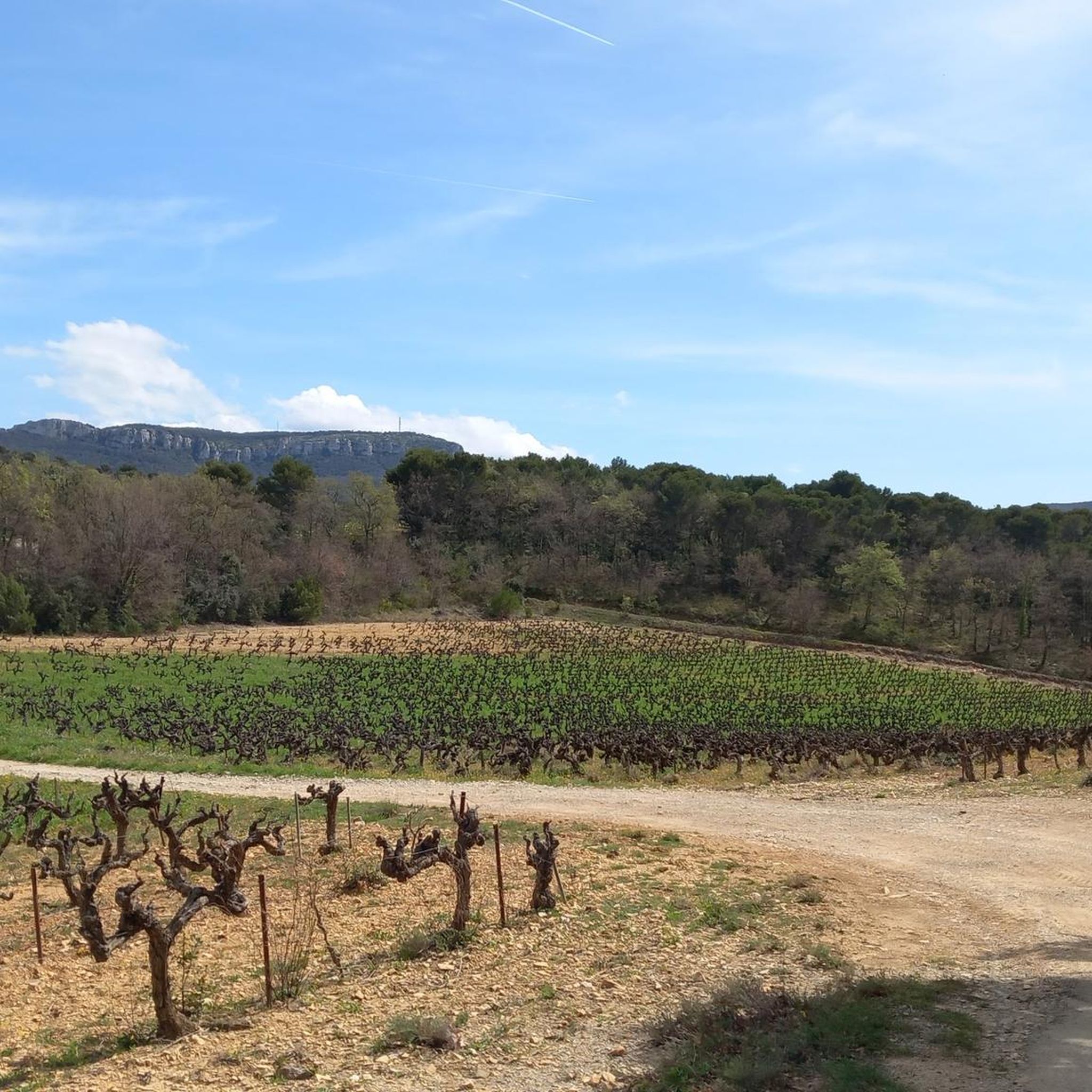
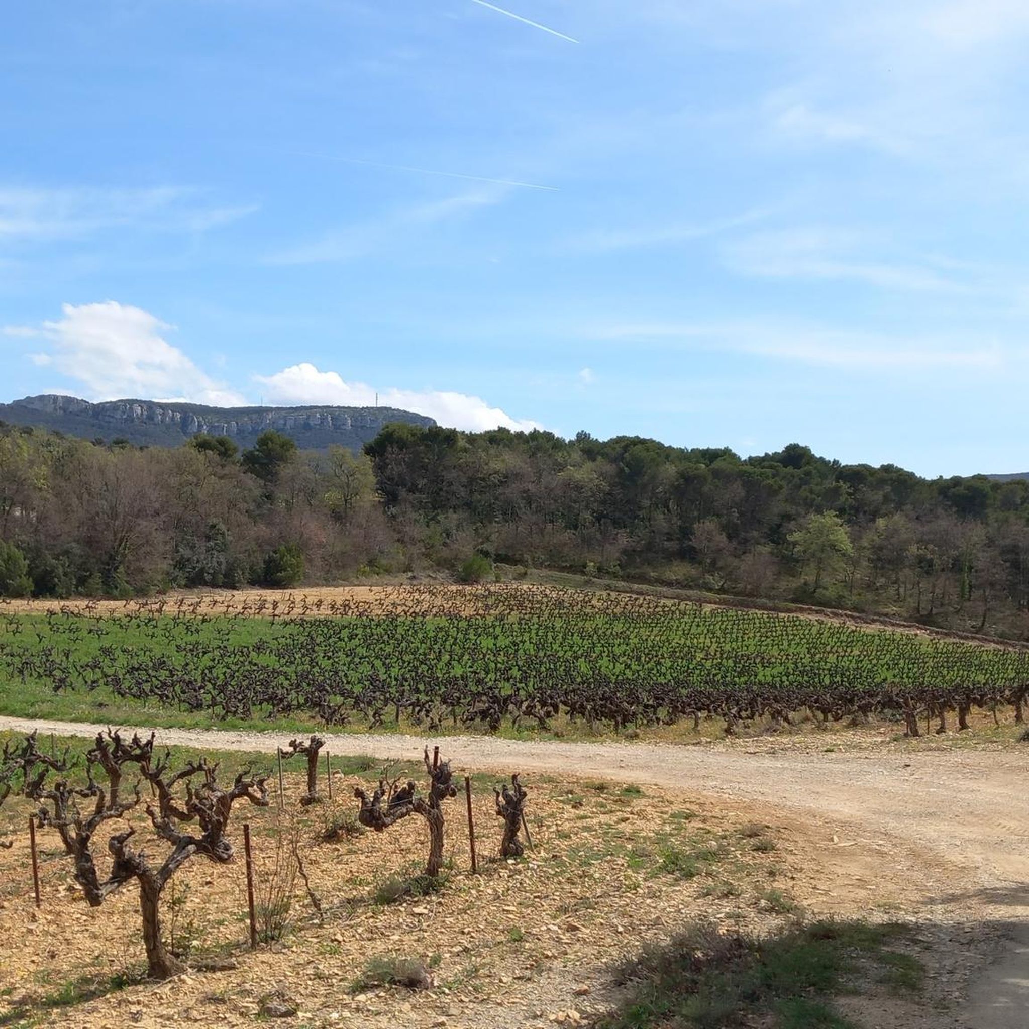
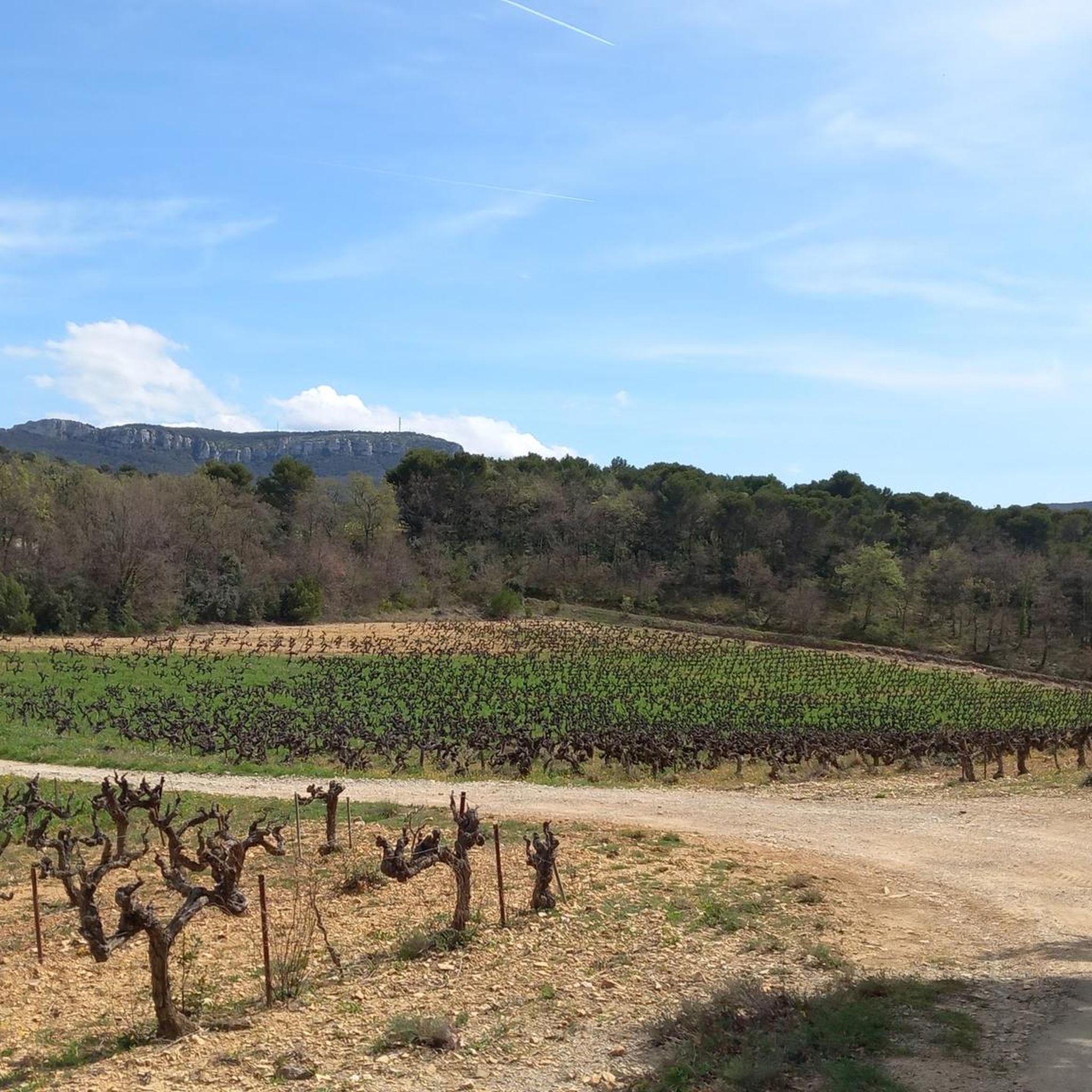
Here you are in the heart of the Dentelles de Montmirail, a series of three limestone ridges. The view of the rocks, forests and vineyards is breathtaking.
3
0

The Dentelles de Montmirail are divided into three parallel chains. The central one, the Dentelles Sarrasines, is the smallest but the highest, culminating at 667 meters. A technical but sublime place, with a view of Mont Ventoux.
0
0
Frequently Asked Questions
What kind of mountaineering routes can I expect around Séguret?
The Séguret region, dominated by the dramatic limestone formations of the Dentelles de Montmirail, offers a mix of rocky peaks, forested slopes, and scenic valleys. You'll find routes ranging from moderate ascents to more demanding climbs, often winding through vineyards with panoramic views of the Provençal landscape.
Are there any moderate mountaineering routes suitable for those with some experience?
Yes, for those with some mountaineering experience, the Chemin de Cayron – Col du Cayron loop from Lafare is a moderate option. This route is about 6.1 miles (9.9 km) long and traverses a mountain pass, offering expansive views over the surrounding vineyards and valleys.
What are some of the more challenging mountaineering options in the area?
For experienced mountaineers, the region offers several difficult routes. One such option is The Dentelles de Montmirail – Chemin de Cayron loop from Gigondas, which is 7.2 miles (11.7 km) long and leads through the rugged Dentelles de Montmirail.
Are there any circular mountaineering routes around Séguret?
Yes, many of the mountaineering routes in the Séguret area are designed as loops. For example, the Chemin de Cayron – Dentelles de Montmirail loop from Gigondas is a popular circular trail that directly engages with the distinctive limestone peaks.
What is the best time of year for mountaineering in Séguret?
The best time for mountaineering in Séguret is typically during the spring (April to June) and autumn (September to October) when the weather is milder and the landscapes are particularly vibrant. Summers can be very hot, making early morning starts essential, while winters can bring colder temperatures and occasional snow at higher elevations.
What kind of wildlife might I encounter on the trails?
While mountaineering around Séguret, you might spot various birds of prey soaring above the Dentelles de Montmirail. The forested areas are home to wild boar, deer, and smaller mammals. Keep an eye out for diverse insect life and reptiles basking in the sun on rocky outcrops.
Are there any interesting landmarks or attractions near the mountaineering routes?
Yes, the region is rich in natural and historical landmarks. You can find several mountain passes like Col de la Madeleine and Suzette Pass. Nearby, you can also explore historical sites such as Vaison-la-Romaine Roman Bridge or the ruins of Castellas de Durban.
What do other mountaineers say about the routes in Séguret?
The mountaineering routes in Séguret are highly rated by the komoot community, with an average score of 4.6 stars from over 8 reviews. Users often praise the dramatic limestone scenery, the challenging ascents, and the rewarding panoramic views of the Provençal landscape.
Are there options for less crowded mountaineering experiences?
While the Dentelles de Montmirail are popular, exploring routes during weekdays or outside of peak tourist season (July-August) can offer a more tranquil experience. Many trails allow for a sense of solitude amidst the rugged natural beauty.
What should I consider bringing for mountaineering in Séguret?
Given the rocky terrain and varied elevations, sturdy hiking boots with good ankle support are essential. Depending on the route's difficulty, you might also consider a helmet, especially for more exposed sections. Always carry sufficient water, sun protection, a map or GPS device, and appropriate layers for changing weather conditions.
Are there any places to get food or drinks near the trails?
The villages surrounding the Dentelles de Montmirail, such as Séguret, Gigondas, and Lafare, offer various cafes, restaurants, and local shops where you can refuel before or after your mountaineering adventure. It's advisable to check opening hours, especially in smaller villages.
Where can I park when accessing mountaineering trails in Séguret?
Parking is generally available in the villages that serve as starting points for the trails, such as Gigondas or Lafare. Look for designated public parking areas. It's always a good idea to arrive early, especially during peak season, to secure a spot.
Most popular routes around Séguret
Most popular attractions around Séguret

Get inspired with the komoot mobile app


Explore more
Browse the best Mountain Hikes & Routes in other regions.
