The best running trails around Clitourps
4.5
(93)
2,409
runners
186
runs
Jogging routes around Clitourps traverse a diverse landscape, characterized by a mix of coastline featuring dunes, beaches, and cliffs, alongside inland areas. The region is shaped by the Saire River, which flows through the area, and includes features like the Saire Waterfall. Runners can expect varied terrain, from coastal paths to routes through bocage countryside and gentle hills.
Best jogging routes around Clitourps
- The most popular jogging route is Saire Waterfall – La Saire loop from Le Vast, an…
Last updated: June 29, 2026
12
runners
Hard run. Very good fitness required. Mostly paved surfaces. Suitable for all skill levels.
5.0
(1)
6
runners
13.1km
01:31
170m
170m
Moderate run. Good fitness required. Mostly paved surfaces. Suitable for all skill levels.

Sign up for free
4.0
(1)
7
runners
Hard run. Very good fitness required. Mostly paved surfaces. Suitable for all skill levels.
6
runners
14.9km
01:41
50m
50m
Moderate run. Good fitness required. Mostly paved surfaces. Suitable for all skill levels.
4
runners
9.69km
01:03
60m
60m
Moderate run. Good fitness required. Mostly paved surfaces. Suitable for all skill levels.
Get access to more routes and recommendations from other explorers.
Sign up for free
Already have an account?
Our route recommendations are based on thousands of hikes, rides, and runs completed by other people on komoot.
Start today with a free account
Your next adventure awaits.
Login or Signup
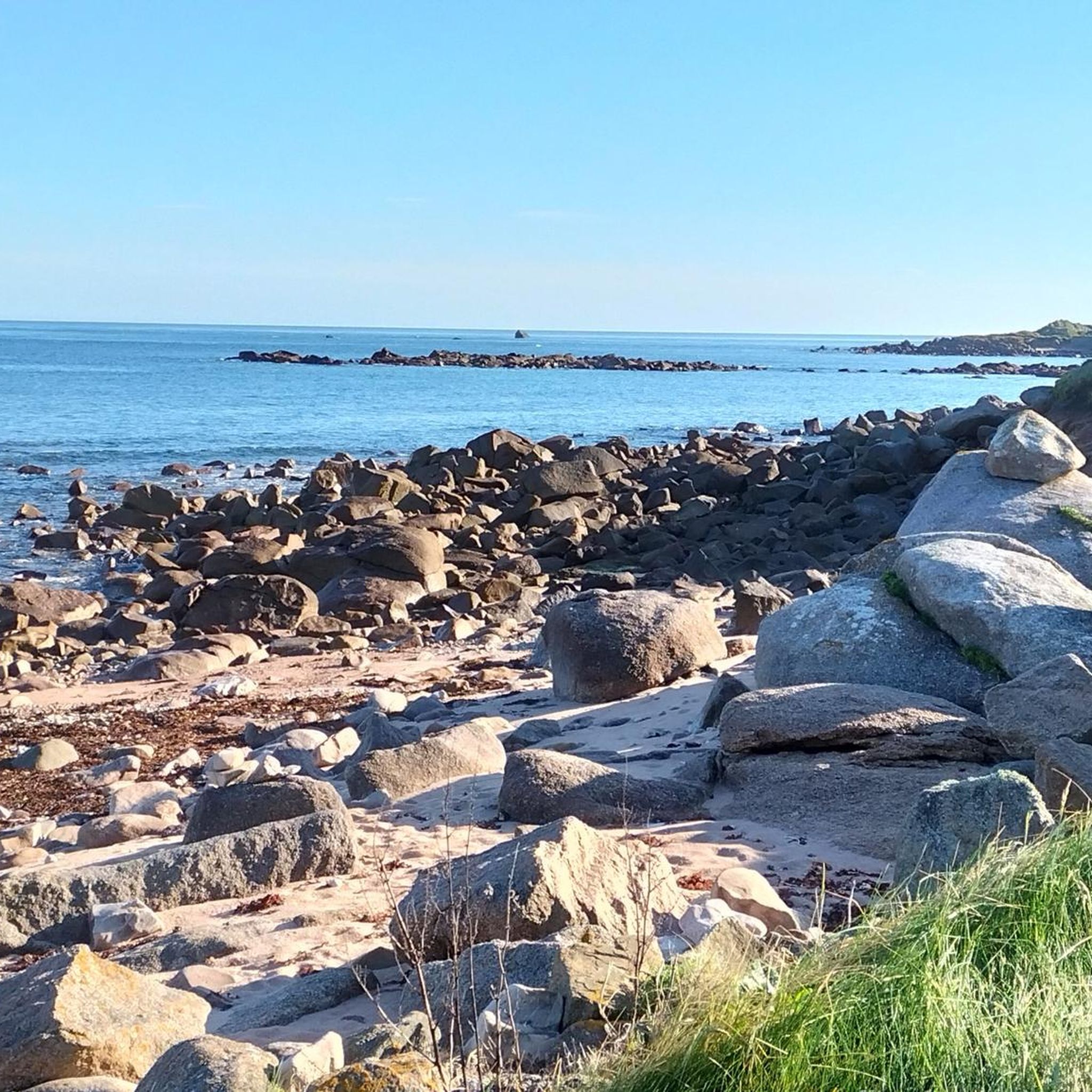
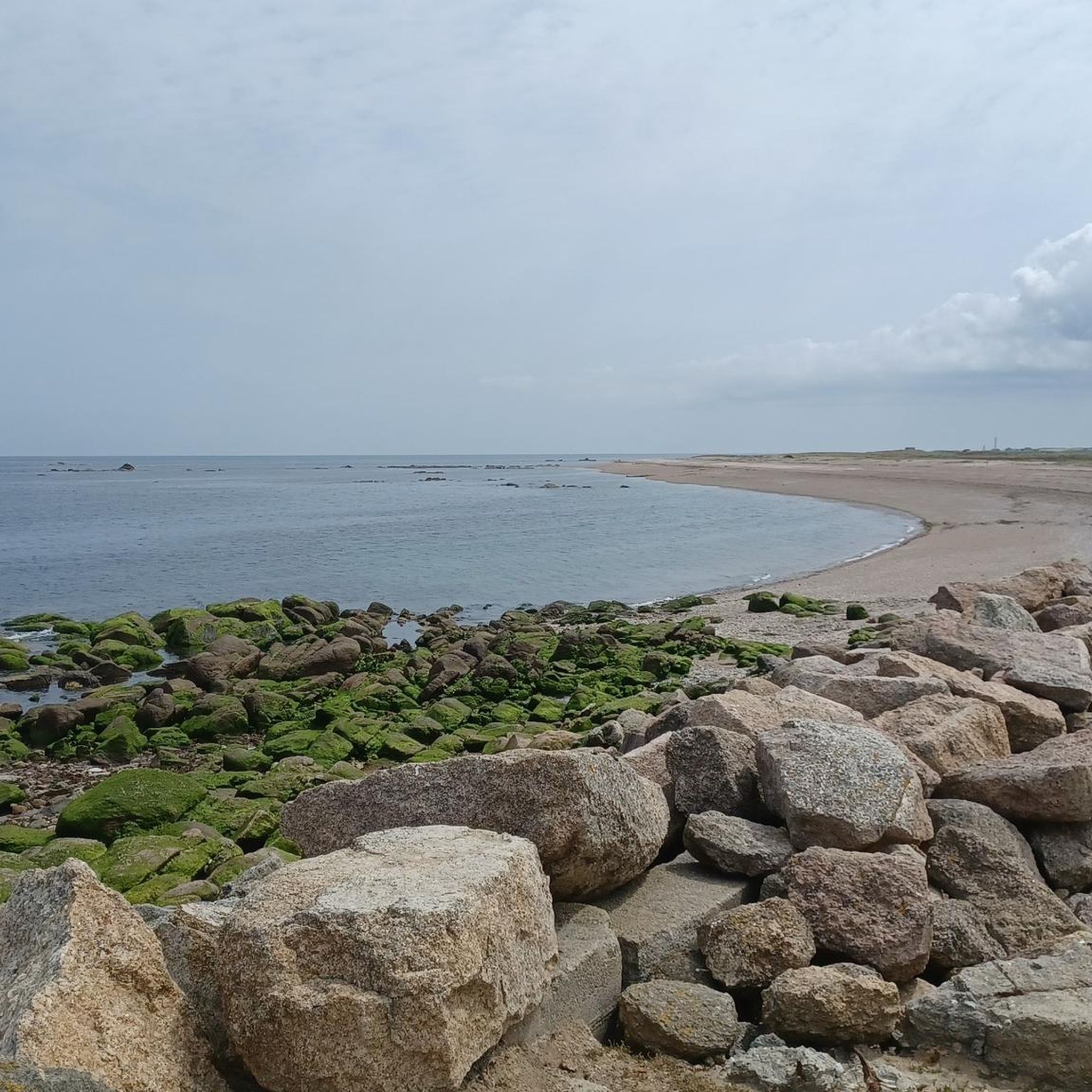
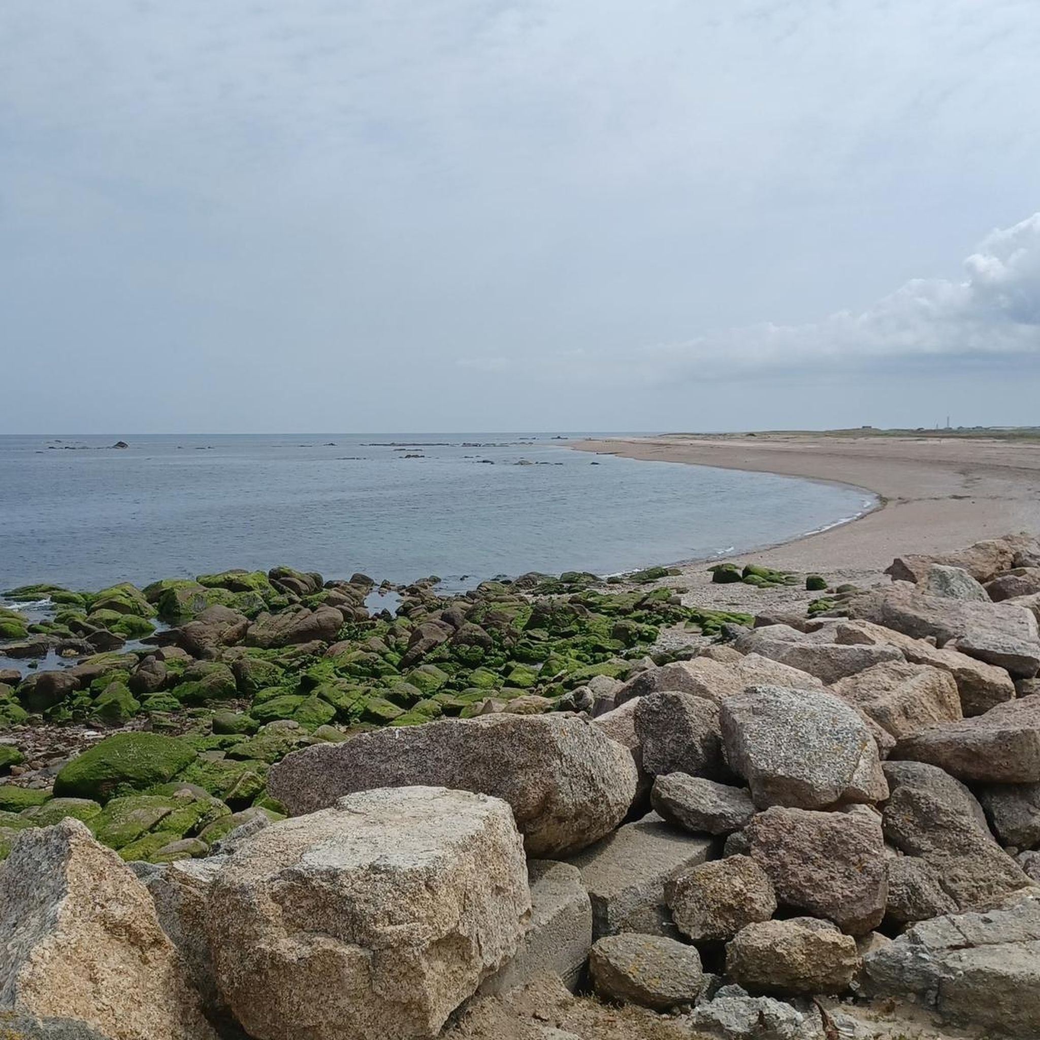
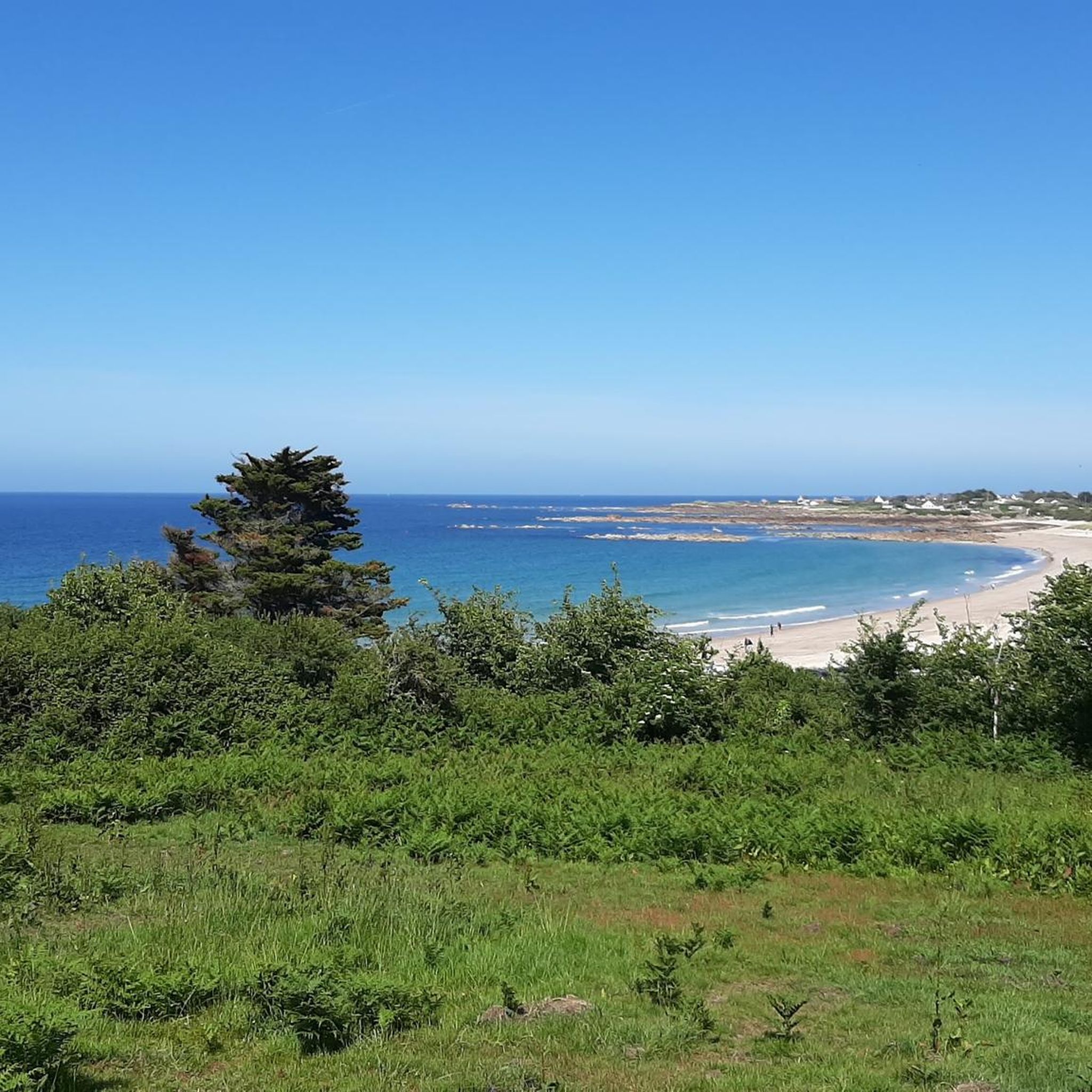
Tips from the Community

The hike is beautiful and safe. Except for one major drawback: if you have a dog, be careful because there are several farm properties with dogs running free!! There is a waterfall at the end of the hike.
1
0
Magnificent tour. Not to be missed. Battery well charged. We loved it.
0
0

The original lighthouse was built in 1775 to protect the dangerous waters around Pointe de Barfleur, which were known for numerous shipping disasters, including the sinking of the "White Ship" in 1120. Since the first tower did not meet the requirements of the 1825 national coastal lighting program, construction began on a new, larger tower in 1829. Completed in 1835 under the direction of architect Charles-Félix Morice de la Rue, it replaced the old tower, which was then used as an optical telegraph. The new tower is made of approximately 11,000 granite blocks and has 365 steps—symbolizing the days of a year. It also has 52 windows (representing the weeks) and 12 floors (representing the months).
6
0

Impressive lighthouse, possibility to climb and have a spectacular view
3
0

The Cascade de la Saire in Vast is an enchanting natural site located in the Manche department of Normandy. Nestled in the Val de Saire, this waterfall is a hidden gem that attracts nature lovers and hikers. Points of Interest: Natural Beauty: The waterfall is formed by the Saire River that flows through the village of Vast. It is characterized by a picturesque waterfall that descends over several levels of rocks, creating a soothing spectacle of lapping and greenery. The setting around the waterfall is particularly bucolic, with dense and lush vegetation surrounding the site, offering a true haven of peace. Peaceful Ambiance: The Cascade de la Saire is an ideal place to relax and enjoy the tranquility of nature. The soothing sound of flowing water and the serene atmosphere make it a perfect place for a meditative break or a picnic in the great outdoors. It is a popular site for photographers and artists who come to capture the natural beauty of the region. Why visit the Cascade de la Saire in Vast? Bucolic Setting: This is a perfect place for those looking for tranquility and natural beauty, far from the noise and bustle of big cities. Easy Access: The waterfall is easily accessible, making it an ideal destination for a nature outing, whether for a hike, a picnic, or simply a relaxing stroll. Landscape Richness: The waterfall and its surroundings offer a typically Norman landscape, with meadows, woods, and rivers that will delight nature and photography lovers. In summary, the Cascade de la Saire in Vast is a small natural treasure in Normandy, offering a peaceful and picturesque getaway in a green and serene setting. It is an ideal destination for nature lovers and those who wish to discover the authentic charm of the Val de Saire.
1
0


Frequently Asked Questions
How many running routes are available in Clitourps?
Clitourps offers a wide variety of running routes, with over 160 trails available. These routes cater to different fitness levels, including easy, moderate, and difficult options.
Are there easy running trails suitable for beginners in Clitourps?
Yes, Clitourps has several easy running trails perfect for beginners or those looking for a relaxed jog. For example, the Running loop from Saint-Pierre-Église is an easy 2.1-mile (3.4 km) path through bocage countryside, typically completed in about 21 minutes.
Can I find long-distance jogging routes in the Clitourps area?
Absolutely. While many routes are shorter, you can find longer options that allow for extended runs. The Saire Waterfall – La Saire loop from Le Vast is a notable example, covering 8.1 miles (13.1 km) with diverse terrain.
What kind of scenery can I expect on the running trails around Clitourps?
The Clitourps region boasts diverse and unspoilt natural landscapes. You can expect a mix of stunning coastline with dunes, beaches, and cliffs, as well as serene inland routes through bocage countryside and along the Saire River. Many trails offer refreshing sea air or verdant natural environments.
Are there any running routes that feature waterfalls in Clitourps?
Yes, the region is home to the picturesque Saire Waterfall in Le Vast. The Saire Waterfall – La Saire loop from Le Vast is a popular route that incorporates this enchanting natural site, offering a beautiful backdrop for your run.
Are there any circular running trails in Clitourps?
Many of the running routes in Clitourps are designed as loops, offering convenient circular paths. For instance, the Running loop from Varouville is a moderate 5.4-mile (8.7 km) circular path exploring varied landscapes, potentially including coastal views.
What are some interesting landmarks or attractions I might see while running in Clitourps?
Beyond the natural beauty, the area offers cultural attractions. You might encounter the charming Barfleur Harbour, the iconic Cap Lévi Lighthouse, or the historic Fort of Cap Lévi. These points of interest can add character to your longer runs.
Is Clitourps a good destination for family-friendly running or jogging?
Yes, the variety of routes includes options suitable for families. Many trails have accessible paths and varying distances, allowing you to choose routes that match your family's fitness levels. Look for shorter, easier loops like the Running loop from Saint-Pierre-Église for a pleasant family outing.
What do other runners say about the jogging routes in Clitourps?
The running routes in Clitourps are highly rated by the komoot community, with an average score of 4.6 stars from over 100 reviews. More than 2,400 runners have used komoot to explore the varied terrain, often praising the diverse landscapes and well-maintained paths.
Are there any running routes starting directly from Clitourps?
Yes, you can find routes that start directly from the village. The Running loop from Clitourps is an 8.2-kilometer (5.1-mile) moderate trail that begins and ends in Clitourps, offering a convenient option for local runners.
Are there running routes near Valcanville?
Yes, Valcanville is a good starting point for several running routes. For example, the Running loop from Valcanville is a moderate 6.7-kilometer (4.2-mile) trail that explores the local area.
What is the best time of year to go jogging in Clitourps?
Clitourps is an excellent destination for outdoor activities year-round. The extensive coastline offers invigorating runs with refreshing sea air, particularly pleasant during spring and autumn. Inland routes through verdant environments are enjoyable in warmer months, while winter runs can offer a unique, serene experience.
Most popular attractions around Clitourps

Get inspired with the komoot mobile app


Explore more
Browse the best Running Trails & Routes in other regions.
