The best walks and hikes around Morthomiers
4.5
(124)
1,095
hikers
103
hikes
Hiking around Morthomiers offers a variety of trails through the rural landscape of the Cher department in central France. The region is characterized by gentle topography, often featuring agricultural fields, small woodlands, and river valleys, particularly along the Cher River. Elevation changes are generally modest, making many routes accessible for various fitness levels.
Best hiking trails around Morthomiers
- The most popular hiking route is Circuit de la Chaussée de César — Villeneuve-sur-Cher, a 7.3 miles (11.8 km) trail that…
Last updated: July 3, 2026
4.7
(13)
29
hikers
11.8km
02:27
80m
80m
Moderate hike. Good fitness required. Easily-accessible paths. Suitable for all skill levels.
20
hikers
Easy hike. Great for any fitness level. Easily-accessible paths. Suitable for all skill levels.

Sign up for free
5.0
(1)
17
hikers
22.3km
05:44
110m
110m
Hard hike. Very good fitness required. Easily-accessible paths. Suitable for all skill levels.
10
hikers
8.65km
02:14
50m
50m
Moderate hike. Good fitness required. Easily-accessible paths. Suitable for all skill levels.
4.0
(1)
10
hikers
Easy hike. Great for any fitness level. Easily-accessible paths. Suitable for all skill levels.
Get access to more routes and recommendations from other explorers.
Sign up for free
Already have an account?
Our route recommendations are based on thousands of hikes, rides, and runs completed by other people on komoot.
Start today with a free account
Your next adventure awaits.
Login or Signup



Tips from the Community

Almost no one knows that… Under the Château de Saint-Florent-sur-Cher lie remnants of a much older defense and trading network along the Cher River, dating back to before the current castle. The site was already important before the castle. Even before the 13th century, a strategic crossing over the Cher River existed here. Not a bridge like today, but a ford and later a primitive crossing. So the château wasn't built "just like that." It literally stands on an old thoroughfare.
3
0
Saint-Florent-sur-Cher has that "true French provincial" feel. No tourist crowds, but charming historical spots, a river arch here, an old castle there, and a relaxed atmosphere.
2
0

Good place for fishing, a clean river, plenty of pikes & perch. Anglers would love this river 😍
9
1
You have to visit Saturday farmer Market, it has amazing products.
5
0
In a nice little peace and quiet town. Still, it has some beautiful areas
9
0
It's a nice little town but not much to do except if you are looking for peace and quiet .
8
0

Stop for a moment on this viaduct to appreciate the deep waters of the Cher river.
3
0
Frequently Asked Questions
What kind of landscape can I expect when hiking around Morthomiers?
Hiking around Morthomiers primarily features the rural landscape of the Cher department. You'll encounter gentle topography, often characterized by agricultural fields, small woodlands, and river valleys, particularly along the Cher River. The elevation changes are generally modest, making many routes accessible.
How many hiking trails are available around Morthomiers, and what are their difficulty levels?
There are over 80 hiking routes available around Morthomiers. The majority are easy, with 53 routes classified as easy, 32 as moderate, and 2 as difficult, offering options for various fitness levels.
Are there family-friendly hiking options near Morthomiers?
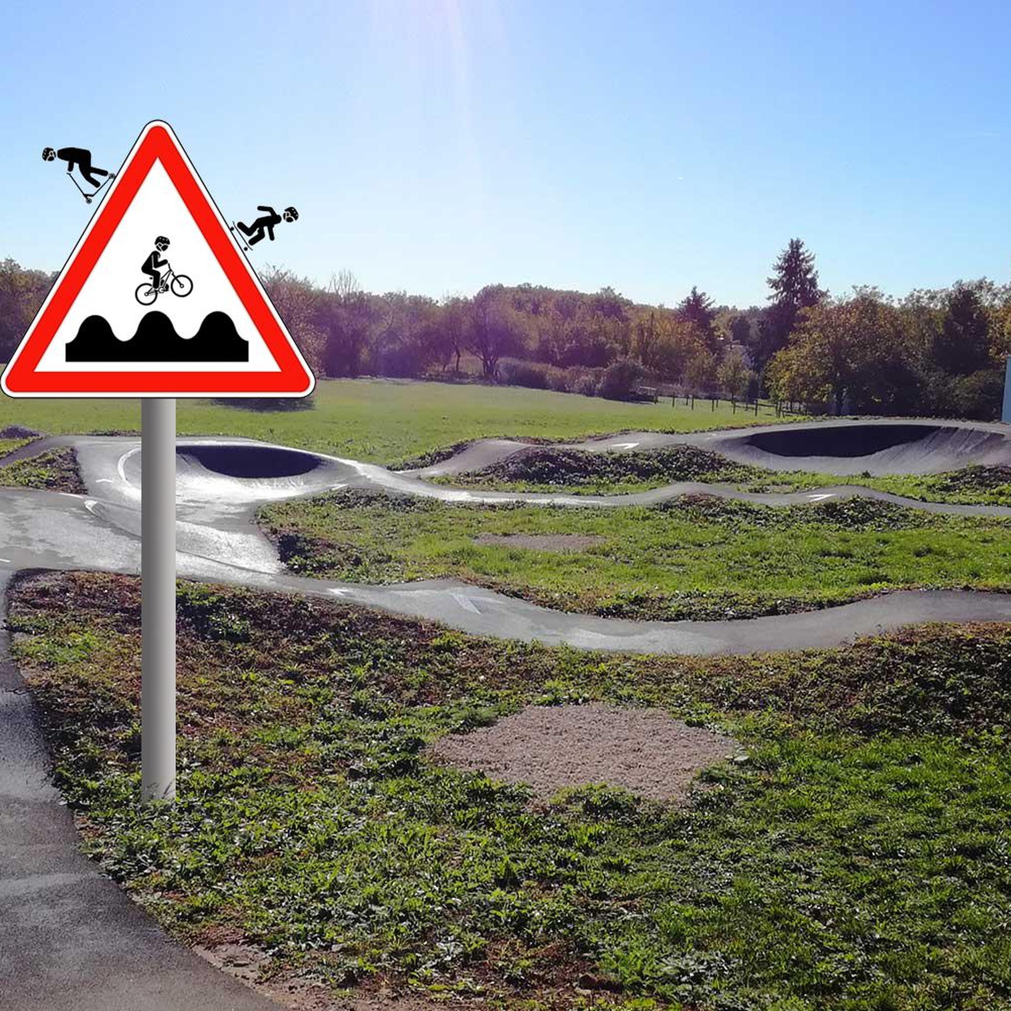
Yes, Morthomiers offers many family-friendly hiking options, with over 50 easy routes. A good example is the Saint-Ursin Church – Bikepark in the forest loop from La Chapelle-Saint-Ursin, which is 3.5 miles (5.7 km) long and leads through local forests.
Can I bring my dog on hikes around Morthomiers?
Most rural trails around Morthomiers are generally dog-friendly, but it's always advisable to keep your dog on a leash, especially when passing through agricultural areas or near livestock. Always carry water for your pet and clean up after them.
Are there any challenging hikes for experienced trekkers?
While most routes are easy to moderate, there are a couple of more challenging options. For instance, the Cher River – Saint-Florent-sur-Cher loop from Le Subdray is a difficult 13.8 miles (22.3 km) path that follows the Cher River, offering a longer and more demanding experience.
What interesting places or landmarks can I see while hiking near Morthomiers?
While hiking, you might find yourself near several notable attractions. These include the historic Bourges Cathedral (Saint-Étienne), the tranquil Bourges Marshes, and the impressive Jacques Cœur Palace. You may also encounter the Wooden Sculpture by Jacques Pissenem.
What is the best time of year to go hiking in Morthomiers?
The best time for hiking in Morthomiers is generally during spring and autumn when the weather is mild and the natural scenery is pleasant. Summer can also be suitable, but it's advisable to start early to avoid the midday heat. Winter hiking is possible, but some paths might be muddy.
Are there circular hiking routes available in Morthomiers?
Yes, many of the hiking routes around Morthomiers are circular, allowing you to start and end at the same point. An example is the Bikepark in the forest loop from La Chapelle-Saint-Ursin, a moderate 5.4-mile (8.7 km) trail.
What do other hikers enjoy the most about hiking in Morthomiers?
The hiking routes in Morthomiers are highly rated by the komoot community, with an average score of 4.5 stars from over 100 reviews. Hikers often praise the peaceful rural setting, the variety of paths through woodlands and along the river, and the accessibility for different skill levels.
Is parking available at the trailheads, or can I use public transport?
For most rural trailheads around Morthomiers, you can typically find roadside parking or small designated parking areas. Public transport options might be limited in some of the more remote starting points, so checking local bus schedules in advance is recommended if you plan to rely on it.
Where can I find shorter, easier hikes around Morthomiers?
For shorter and easier hikes, consider routes that stick to the flatter sections of the river valleys or smaller woodlands. The Saint-Florent-sur-Cher – Cher River loop from Saint-Florent-sur-Cher is an easy 3.7-mile (6 km) option that offers pleasant river views.
Most popular routes around Morthomiers
Most popular attractions around Morthomiers

Get inspired with the komoot mobile app


Explore more
Browse the best Hikes in other regions.
