The best running trails around Saint-Bonnet-De-Chavagne
4.4
(42)
1,788
runners
242
runs
Jogging around Saint-Bonnet-De-Chavagne offers a diverse landscape for runners, situated in the Isère department of southeastern France. The region features varied terrains, from the foothills of the Vercors and Chambaran mountains to the flatter plains of the Isère river. Extensive marked trails traverse these areas, providing options for different running experiences. Natural features like the Etang Dumoulin and historical landmarks such as the Château de l'Arthaudière enhance the outdoor experience.
Best jogging routes around Saint-Bonnet-De-Chavagne
- The most popular jogging route…
Last updated: July 1, 2026
4.0
(1)
37
runners
12.9km
01:29
200m
200m
Moderate run. Good fitness required. Mostly paved surfaces. Suitable for all skill levels.
5.0
(2)
27
runners
Hard run. Very good fitness required. Mostly paved surfaces. Suitable for all skill levels.

Sign up for free
4.0
(1)
17
runners
8.86km
00:55
30m
30m
Moderate run. Good fitness required. Mostly paved surfaces. Suitable for all skill levels.
19
runners
18.4km
02:58
1,100m
1,100m
Hard run. Very good fitness required. Mostly accessible paths. Some sure footedness required.
14
runners
12.0km
01:18
180m
180m
Moderate run. Good fitness required. Mostly paved surfaces. Suitable for all skill levels.
Get access to more routes and recommendations from other explorers.
Sign up for free
Already have an account?
Our route recommendations are based on thousands of hikes, rides, and runs completed by other people on komoot.
Start today with a free account
Your next adventure awaits.
Login or Signup
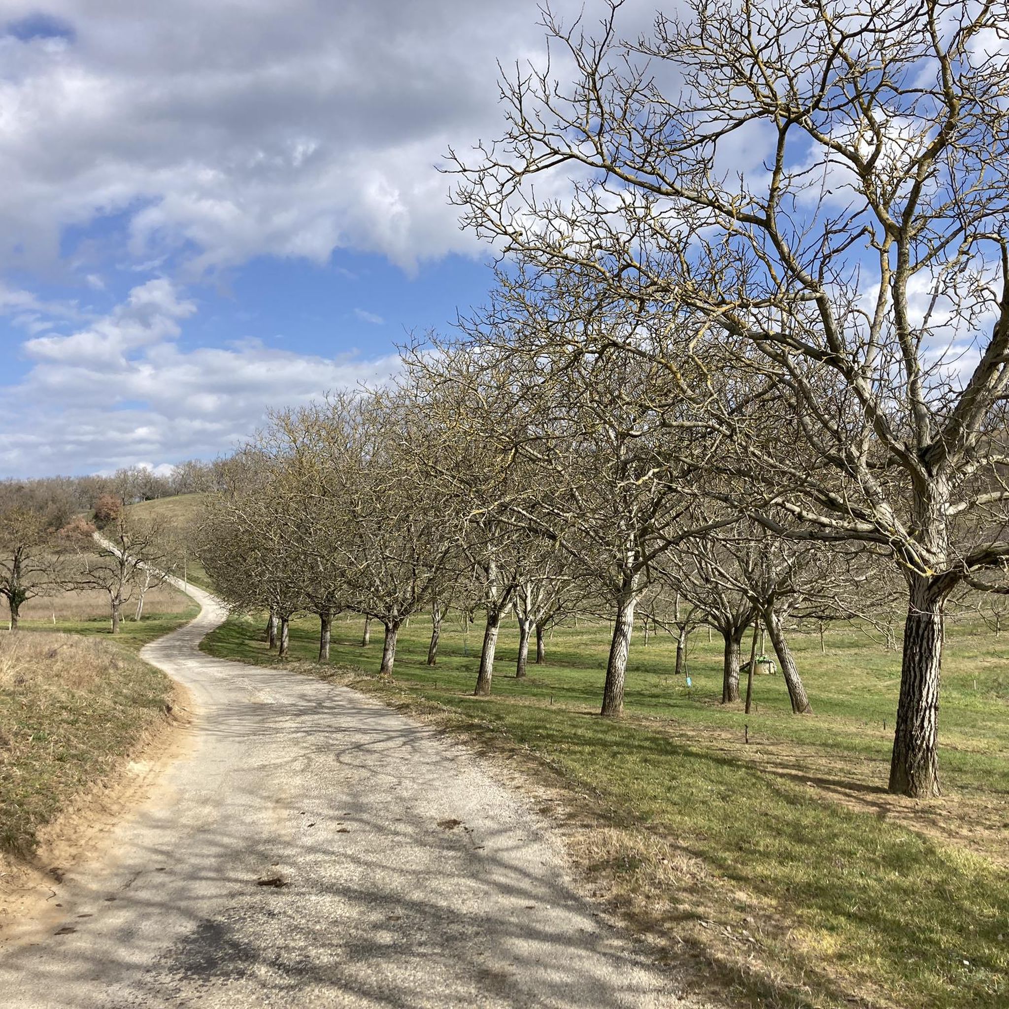
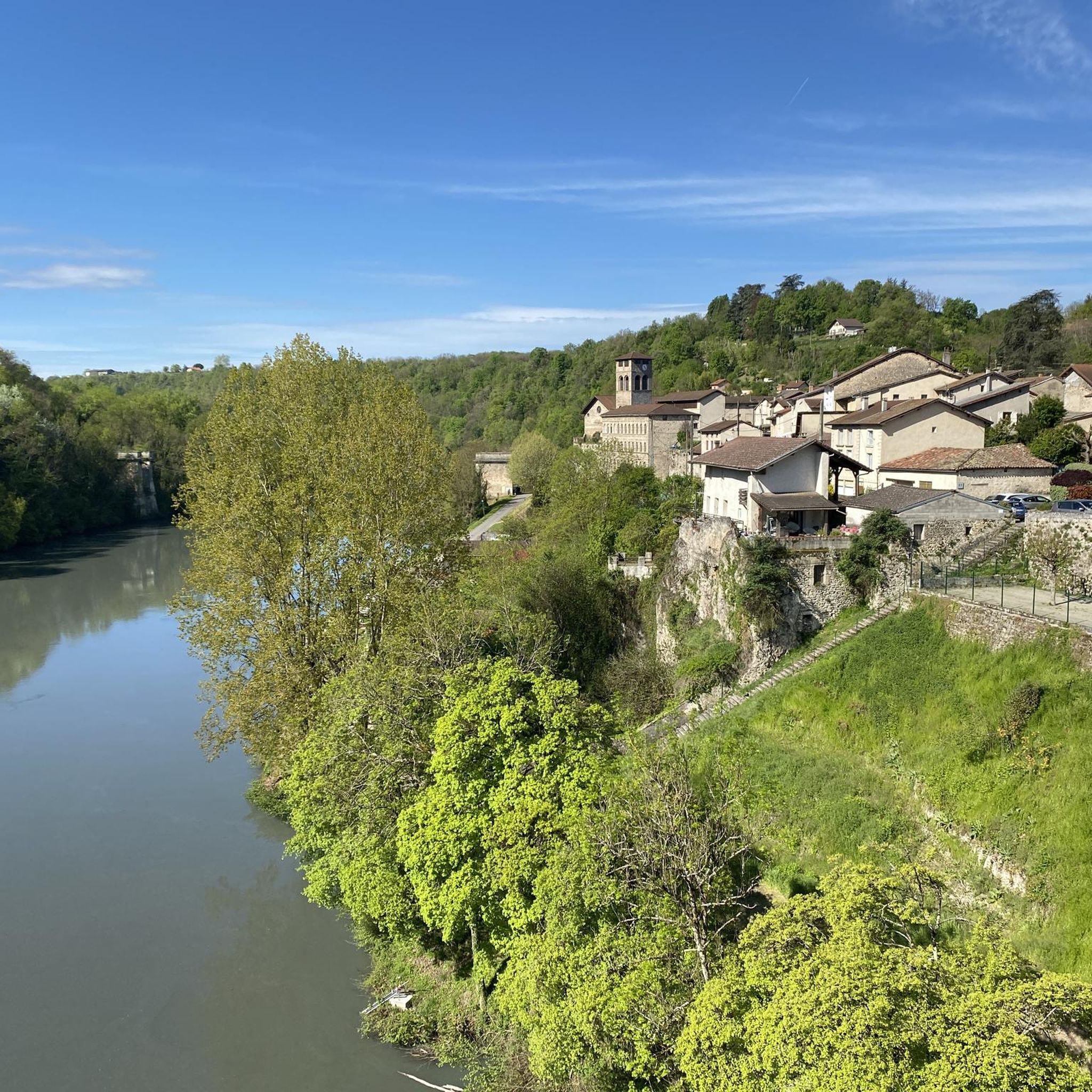
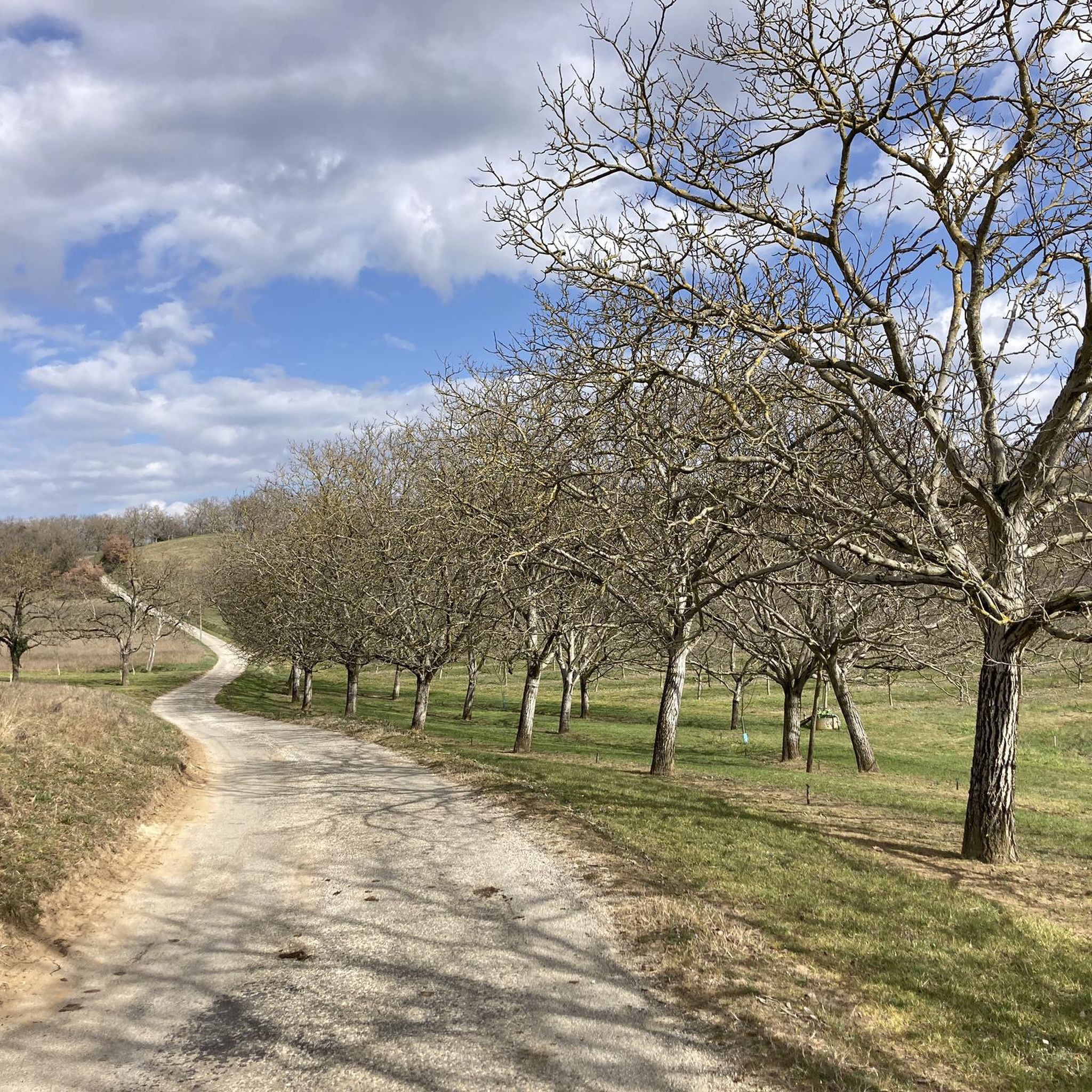
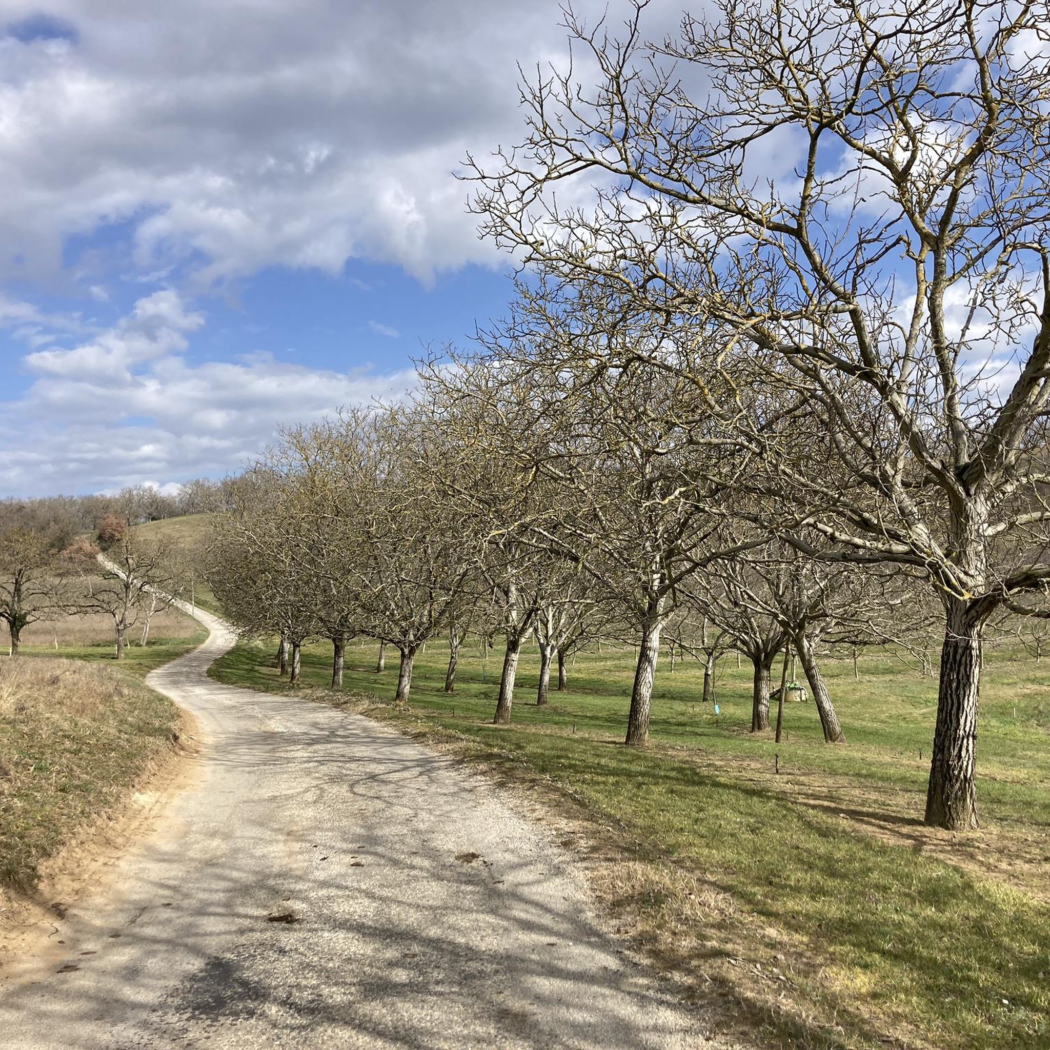

Tips from the Community

Listed among the Most Beautiful Villages in France, Saint-Antoine-l'Abbaye surprises with the richness of its medieval heritage. The Gothic abbey church overlooks a collection of cobbled streets, half-timbered houses, and terraced gardens.
1
0


An exceptional site in a green, quiet setting with an exceptional heritage
0
0


The former abbey church of Saint-Antoine was built in the 14th century on the site of a previous Romanesque church. With its dimensions of 61 meters long, 32 meters wide and a 22 meter high nave, it is on a par with the great Gothic cathedrals. In 1840, the church of the Abbey of Saint-Antoine-l'Abbaye, the mother monastery of the Antoniter order, was included in the list of monuments (Base Mérimée) in France as a monument historique.
1
1
Saint-Antoine-l'Abbaye, with 1,053 inhabitants, is classified as one of the Plus beaux villages de France (Most Beautiful Villages in France), is located in the historic Dauphiné landscape and was formerly the center of the Antonite nursing order. The center of the town is the former Gothic abbey church of Saint-Antoine with the Trésor des Chanoines; The Grand Cour leads to it, to which the monastery buildings adjoin. Among other things, they house the Musée Departemental. In the area surrounding the city, the names of numerous farms recall the work of the Antonites: La Contamine, La Maladière and others.
0
1

Halfway between Grenoble and Valence, this medieval village is ranked among the most beautiful in France. The Saint-Antoine site is listed as a Historic Monument. Its imposing Gothic abbey is one of the most remarkable in the region. Every year in August the village organizes a medieval festival which brings together more than 200 artists and no less than 500 people in costume.
1
0

the small detour to the monastery is worthwhile. In the courtyard of the monastery, an avenue paved with large pebbles leads to the church. The roofs are covered with colorful glazed tiles.
1
0
Frequently Asked Questions
How many running routes are available around Saint-Bonnet-De-Chavagne?
There are over 230 running routes around Saint-Bonnet-De-Chavagne, offering a wide variety of terrains and distances. These include options from easy, flat paths to more challenging trails with significant elevation gain.
Are there running routes suitable for beginners or those seeking an easy jog?
Yes, Saint-Bonnet-De-Chavagne offers 14 easy running routes. The paths through the Isère plain are particularly suitable for a gentler experience. A good example is the Running loop from La Sône, which is 5.5 miles (8.8 km) and relatively flat.
What kind of terrain can I expect on the jogging trails in this region?
The region offers a diverse landscape for runners. You'll find routes traversing the flatter plains of the Isère river, as well as trails with ascents and descents in the foothills of the Vercors and Chambaran mountains. Many routes utilize a mix of dirt tracks, footpaths, and small asphalt roads.
Are there any family-friendly running routes in Saint-Bonnet-De-Chavagne?
Yes, the area around Etang Dumoulin (Dumoulin Pond) is known for its pleasant, shaded paths, including a 4.5 km loop described as an "agréable balade familiale." This makes it ideal for a leisurely jog or a family run.
Can I find challenging running trails with significant elevation gain?
Absolutely. For those seeking a more strenuous run, the foothills of the Vercors and Chambaran mountains provide routes with notable ascents and descents. The Saint-Antoine-l'Abbaye – Saint-Antoine-l'Abbaye loop from Saint-Antoine-l'Abbaye is a difficult 10.7 miles (17.2 km) path with significant elevation gain, traversing varied terrain.
Are there any scenic running routes with viewpoints?
Many routes offer beautiful panoramic views. For instance, a 12.48 km loop from Saint-Bonnet-De-Chavagne provides stunning views of the Vercors mountains, and at times, the Chartreuse and Monts d'Ardèche. The Trail above the Isère loop from La Sône also offers views over the Isère river and surrounding plains.
What historical landmarks or attractions can I see along the running routes?
The region combines natural beauty with historical interest. You might encounter the 13th-18th century Château de l'Arthaudière, known for its Renaissance gallery and terraced gardens. The charming Chapelle Notre Dame de la Salette, perched on a hilltop, is another point of interest along some local routes.
Are there any running routes that pass by natural features like waterfalls or ponds?
Yes, the Etang Dumoulin (Dumoulin Pond) is a notable natural feature with a pleasant 4.5 km loop perfect for a jog. While not directly within Saint-Bonnet-De-Chavagne, the Pont-en-Royans Waterfalls are a nearby attraction worth exploring.
What do other runners enjoy most about jogging in Saint-Bonnet-De-Chavagne?
The running routes in Saint-Bonnet-De-Chavagne are highly rated by the komoot community, with an average score of 4.3 stars from over 35 reviews. Runners often praise the diverse terrain, from river plains to rolling foothills, and the extensive network of marked trails that cater to different ability levels.
Are there any long-distance running trails in the area?
Yes, for those looking for longer runs, there are several options. The Col des Bois Communaux loop from Saint-Hilaire - Saint-Nazaire is a challenging 18.4 km (11.4 miles) route, and the Saint-Antoine-l'Abbaye – Saint-Antoine-l'Abbaye loop covers 17.2 km (10.7 miles).
Are the running routes in Saint-Bonnet-De-Chavagne typically circular?
Many of the running routes in the region are designed as loops, allowing you to start and finish at the same point. Examples include the Trail above the Isère loop from La Sône and the Château du Mollard loop from Chatte, providing convenient options for your run.
Is there good parking available near the running trails?
While specific parking details for every trail vary, many routes in the region are accessible from villages and towns, where public parking is generally available. It's advisable to check the starting point of your chosen route for the most convenient parking options.
Most popular routes around Saint-Bonnet-De-Chavagne
Most popular attractions around Saint-Bonnet-De-Chavagne

Get inspired with the komoot mobile app


Explore more
Browse the best Running Trails & Routes in other regions.
