The best running trails around Seyssins
4.2
(43)
3,690
runners
45
runs
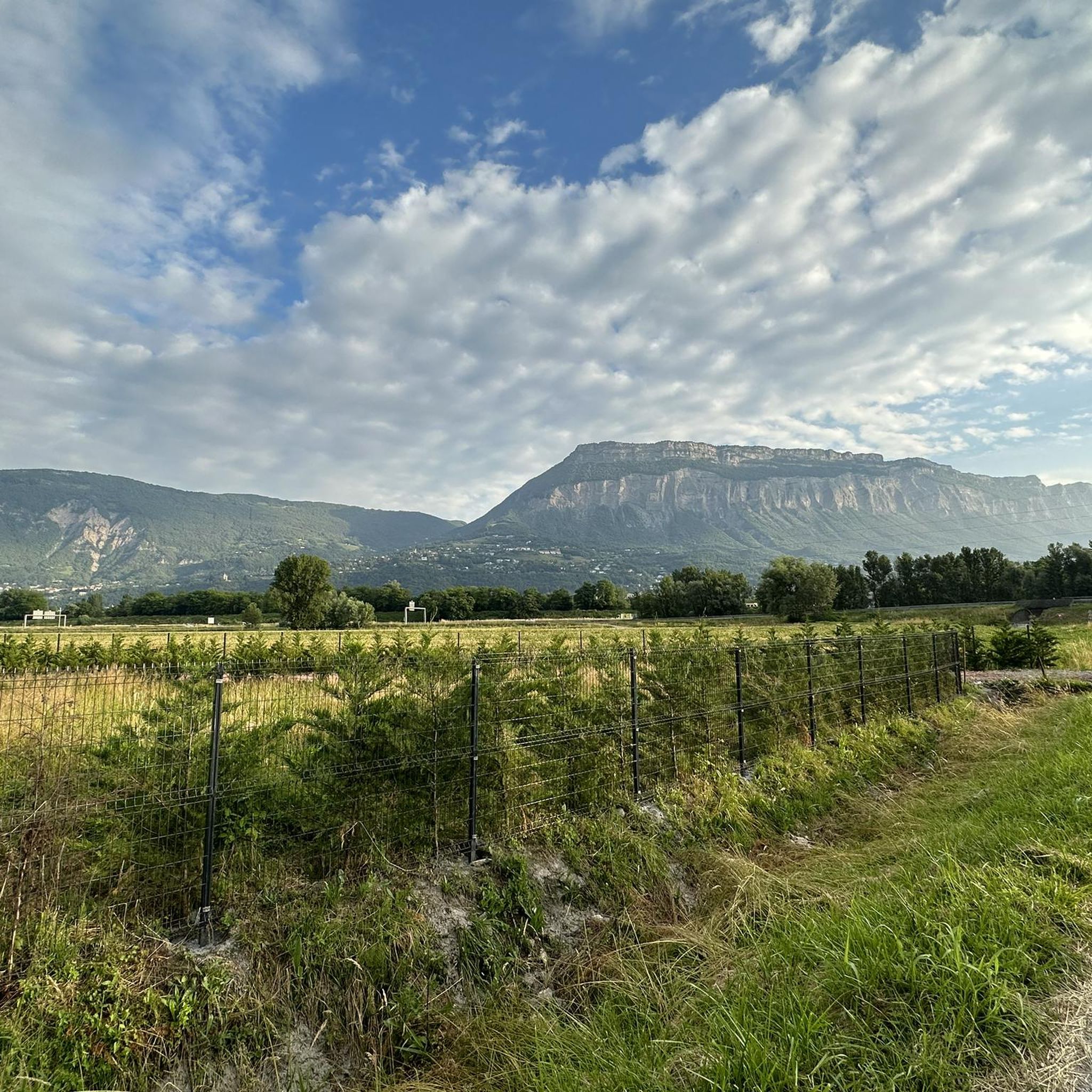
Jogging around Seyssins offers diverse landscapes, from the foothills of the Vercors Massif to paths along the Drac River. The region features a comprehensive network of running routes, including trails with significant elevation changes and easier, mostly paved options. Runners can experience scenic views of the Vercors mountains and the Isère valley, with some routes providing glimpses of the Belledonne mountains. This varied terrain caters to different fitness levels, making Seyssins a compelling destination for outdoor activities.
Best jogging routes…
Last updated: October 10, 2026
5.0
(1)
376
runners
39.5km
06:21
2,420m
2,380m
Hard run. Very good fitness required. Sure-footedness, sturdy shoes and alpine experience required.
3.7
(3)
301
runners
20.4km
03:47
1,700m
810m
Hard run. Very good fitness required. Sure-footedness, sturdy shoes and alpine experience required.

3.0
(1)
129
runners
10.8km
01:15
30m
30m
Moderate run. Good fitness required. Mostly paved surfaces. Suitable for all skill levels.
4.3
(4)
65
runners
7.23km
01:02
280m
270m
Hard run. Good fitness required. Sure-footedness, sturdy shoes and alpine experience required.
4.5
(2)
35
runners
15.7km
02:06
650m
640m
Jog this challenging 9.7-mile (15.7 km) loop on the old tramway route near Grenoble, featuring historical sites and Vercors views.
Get access to more routes and recommendations from other explorers.
Already have an account?
Our route recommendations are based on thousands of hikes, rides, and runs completed by other people on komoot.
Start today with a free account
Your next adventure awaits.
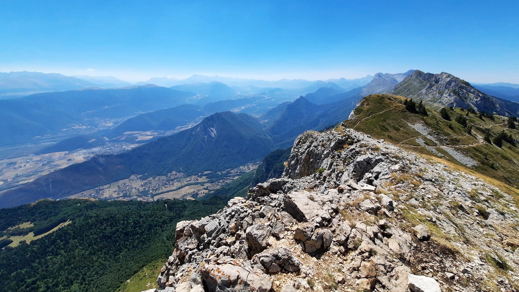
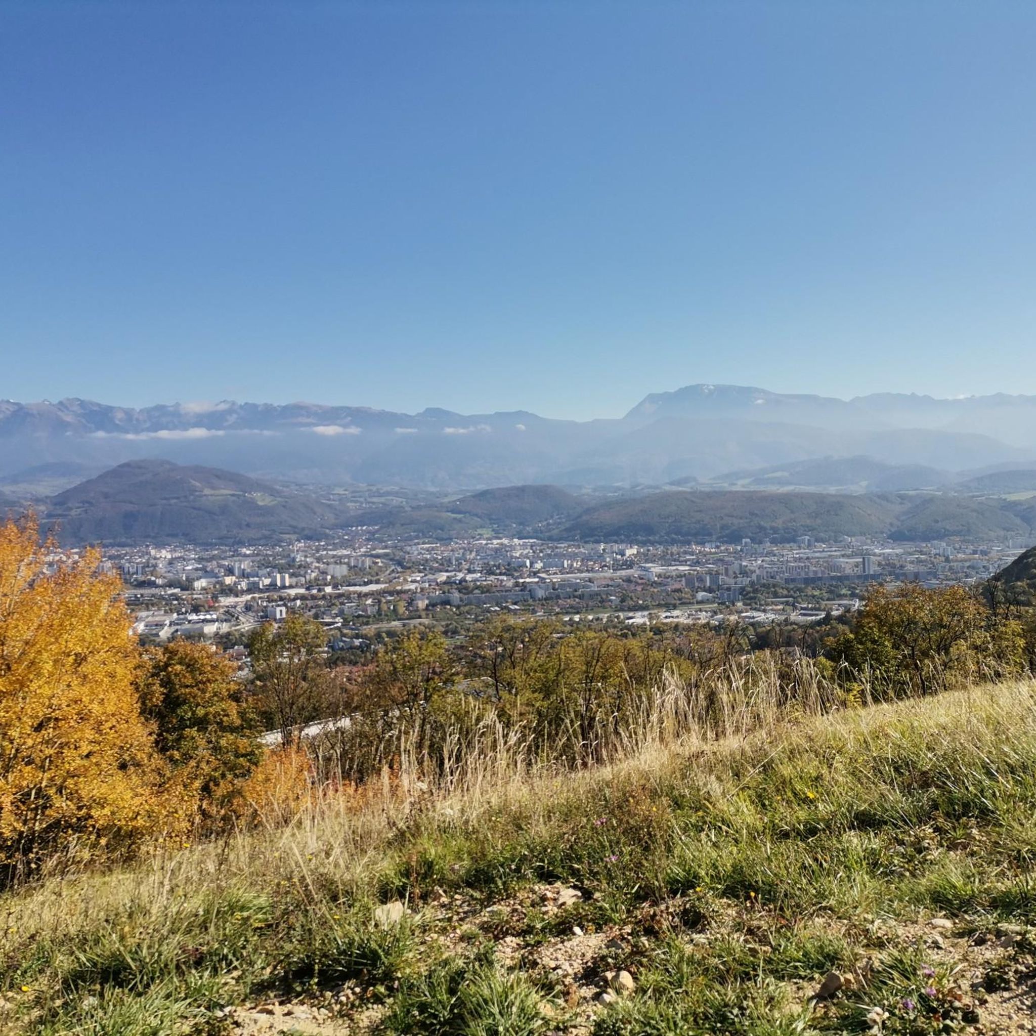
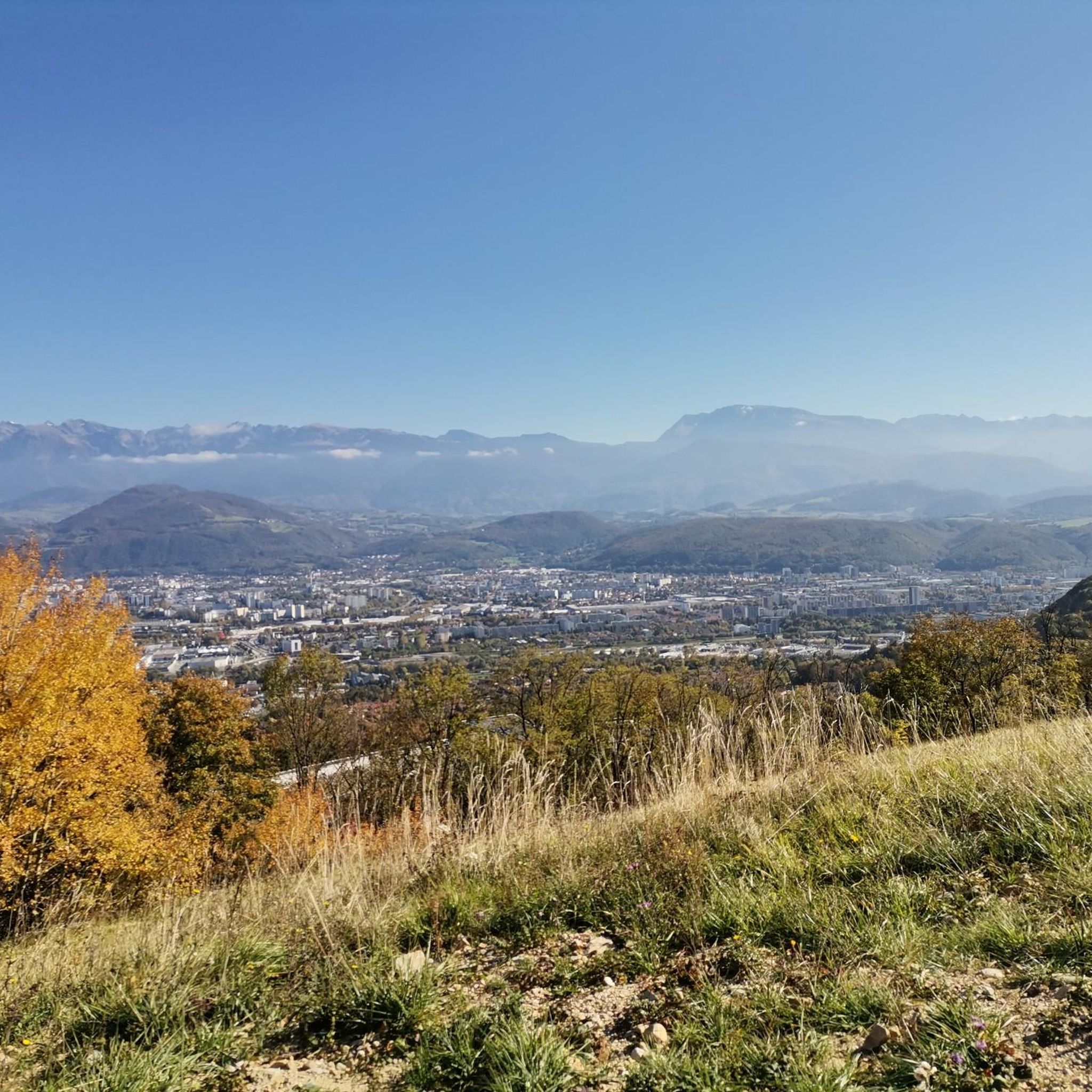
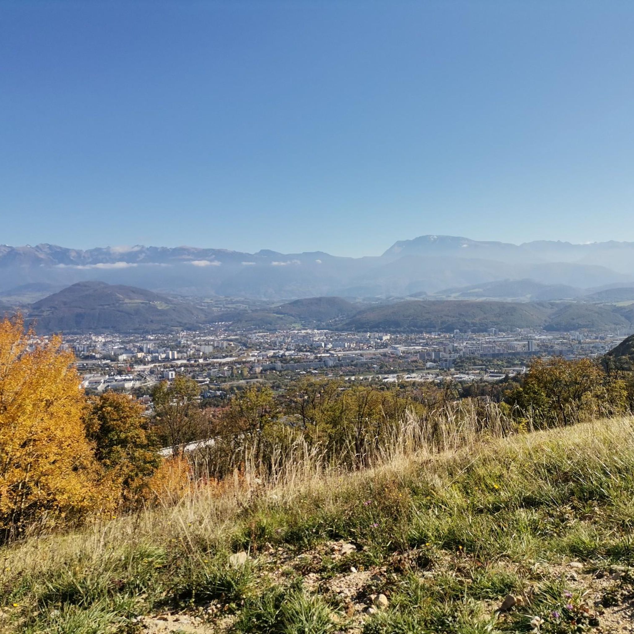

Other adventures around Seyssins

Tips from the Community

This hike offers superb panoramas and the arrival at Pic Saint-Michel, if you go clockwise, reveals a breathtaking view of the valley.
0
1

Nice little place, from here it goes down to Grenoble.
2
0

St Nizier du Moucherotte is at the top of a pass which joins the Drac valley and the Furon valley. Small village at the center of many hikes
0
0

Excellent hike with views of the Belledonne mountains and, if the weather is good, Mont Blanc. The climb to the Moucherotte is not particularly demanding, but the hike is very scenic and the view from the summit is a highlight. On the way down, you can take a detour over the dilapidated ski jump from the 1968 Olympics.
2
0

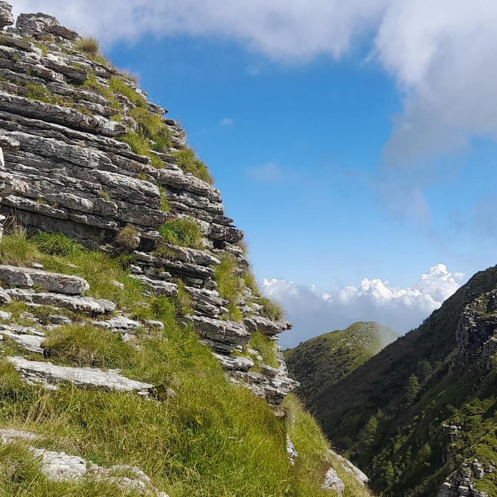
Located near Grenoble, Pic Saint-Michel is a 1,966 meter peak in the Vercors massif, renowned for its accessible trails and panoramic views. This site attracts outdoor enthusiasts with its well-maintained trails and rich biodiversity. Offering an exceptional panorama of the Isère valley, it represents a privileged destination for a nature getaway for all levels of sporting activity.
1
1

Magnificent hike. Technical places. you have access to the crests of the vertigo of the summits up to the peak St Michel
2
1
Very technical and slippery ridge path
4
0

Pic Saint-Michel stands like a spectacular belvedere, offering breathtaking views over the whole of the Vercors. This remarkable summit gives the impression of a land edge raised by the force of tectonic movements.
1
0
Frequently Asked Questions
How many running routes are available around Seyssins?
Seyssins offers a comprehensive network of over 30 running routes, catering to various fitness levels. These range from easy, mostly paved paths to more challenging trails with significant elevation gains, particularly in the foothills of the Vercors Massif.
What kind of terrain and difficulty can I expect on the jogging trails in Seyssins?
The running trails around Seyssins feature diverse terrain. You'll find everything from largely paved, moderate paths along the Drac River, like the Along the Drac — loop from Echirolles, to challenging routes with substantial elevation changes in the Vercors Massif foothills. Many routes, such as The Tramway Trail, offer a mix of historical sites and scenic views.
Are there any easy or beginner-friendly running paths in Seyssins?
Yes, Seyssins offers several easier running options. The Along the Drac — loop from Echirolles is a moderate, largely paved route that provides a gentle running experience along the river. While most routes have some elevation, this one is relatively flat and accessible.
What scenic views or landmarks can I expect to see along the running routes?
Many routes around Seyssins boast superb panoramas. You can enjoy stunning views of the Vercors mountains, the Isère valley, and even glimpses of the Belledonne mountains and Mont Blanc on clear days. Notable natural features include the Saint-Michel Peak and The Moucherotte Summit. Some trails also pass historical sites like the dilapidated ski jump from the 1968 Olympics or castles such as Sassenage Castle.
Are there any family-friendly jogging routes in the area?
For families, routes with less elevation and mostly paved surfaces are ideal. The Along the Drac — loop from Echirolles is a good option, offering a moderate, largely flat path suitable for a family outing. Always check the route details for specific difficulty and terrain to ensure it matches your family's capabilities.
Are the running trails around Seyssins dog-friendly?
While specific regulations for each trail can vary, many natural trails in the Vercors Massif foothills are generally accessible for dogs, provided they are kept on a leash. For routes like Fort and COMBOIRE ridge in a loop, which traverse natural areas, it's advisable to ensure your dog is well-behaved and to carry waste bags. Always respect local signage regarding pets.
Are there circular running routes available in Seyssins?
Yes, many of the running routes around Seyssins are designed as loops, allowing you to start and finish at the same point. Examples include the popular Along the Drac — loop from Echirolles and the more challenging Fort and COMBOIRE ridge in a loop.
What do other runners enjoy most about jogging in Seyssins?
The running routes in Seyssins are highly rated by the komoot community, with an average score of 4.4 stars from over 30 reviews. Runners often praise the diverse landscapes, from the Vercors Massif foothills to paths along the Drac River, and the stunning panoramic views. The variety of difficulty levels also makes it appealing to a wide range of runners.
Are there any running routes that follow the Drac River?
Yes, a notable route that follows the Drac River is the Along the Drac — loop from Echirolles. This moderate 6.7-mile (10.8 km) path offers a pleasant running experience, largely on paved surfaces along the river.
Is parking available near the jogging trailheads in Seyssins?
While specific parking information for every trailhead isn't detailed, Seyssins is well-equipped for outdoor activities. Given its proximity to Grenoble and the Vercors Massif, many popular trailheads and starting points for routes like The Tramway Trail typically have designated parking areas or accessible street parking nearby. It's always recommended to check local maps or route descriptions for specific parking details.
Can I access the running routes in Seyssins using public transport?
Seyssins is located near Grenoble, which has a good public transport network. While direct access to every trailhead via public transport might vary, many starting points for routes, especially those closer to urban areas or main roads, are often reachable by local buses or trams from Grenoble. For example, routes starting from Echirolles, like the Drac loop, are generally well-connected.
Most popular routes around Seyssins
Most popular attractions around Seyssins

Get inspired with the komoot mobile app


Explore more
Browse the best Running Trails & Routes in other regions.
