The best walks and hikes around Sigoyer
4.6
(203)
1,620
hikers
20
hikes
Hiking around Sigoyer offers diverse landscapes within the Durance Valley in the Hautes-Alpes region of France. The terrain features a blend of rolling hills and dramatic rocky cliffs, notably around Céüse Mountain. Unique marl formations create distinctive geometric shapes, particularly visible near the Col d'Espréaux. This area provides panoramic views of the Gap valley and surrounding countryside.
Best hiking trails around Sigoyer
- The most popular hiking route is Ceüse – Les Sciés loop from Camping Les Guérins, a 3.7 miles (5.9 km) trail that takes 2 hours 39 minutes to complete. This moderate route traces the foot of Céüse Mountain, offering views of the surrounding landscape.
- Another top favourite among local hikers is Guérins Pass – La Petite Céüse loop from Col des Guérins, a difficult 3.9 miles (6.3 km) path. This trail provides expansive vistas from La Petite Céüse and navigates varied mountain terrain.
- Local hikers also love the View of the Sigoyer plain – Ceuze pike loop from Col des Guérins, an 11.2 miles (18.0 km) trail leading through mountainous landscapes, often completed in about 6 hours 47 minutes.
- Hiking around Sigoyer is defined by prominent features like Céüse Mountain, the scenic Durance Valley, and unique marl formations. The network offers options for both moderate and difficult ability levels.
- The routes in Sigoyer are highly rated by the komoot community with an average score of 4.6 stars from over 190 reviews. More than 1500 hikers have used komoot to explore Sigoyer's varied terrain.
Last updated: May 12, 2026
4.3
(3)
108
hikers
5.91km
02:39
430m
430m
Moderate hike. Good fitness required. Mostly accessible paths. Sure-footedness required.
4.8
(19)
202
hikers
6.30km
02:12
340m
340m
Hard hike. Good fitness required. Sure-footedness, sturdy shoes and alpine experience required.

Sign up for free
4.6
(5)
45
hikers
18.2km
06:50
920m
920m
Hard hike. Very good fitness required. Sure-footedness, sturdy shoes and alpine experience required.
4.0
(1)
13
hikers
15.4km
05:31
770m
770m
Hard hike. Very good fitness required. Mostly accessible paths. Sure-footedness required.
4.0
(1)
9
hikers
12.2km
04:21
590m
600m
Moderate hike. Good fitness required. Mostly accessible paths. Sure-footedness required.
Get access to more routes and recommendations from other explorers.
Sign up for free
Already have an account?
Our route recommendations are based on thousands of hikes, rides, and runs completed by other people on komoot.
Start today with a free account
Your next adventure awaits.
Login or Signup
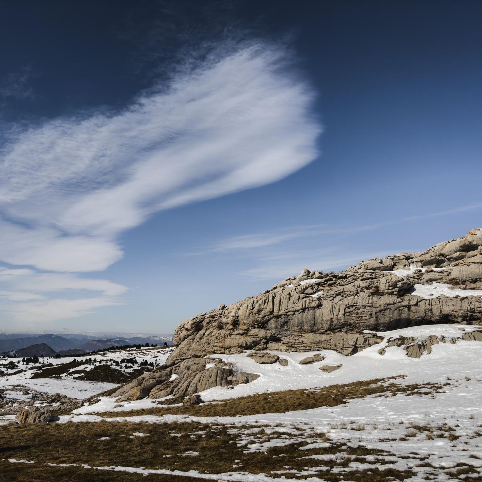
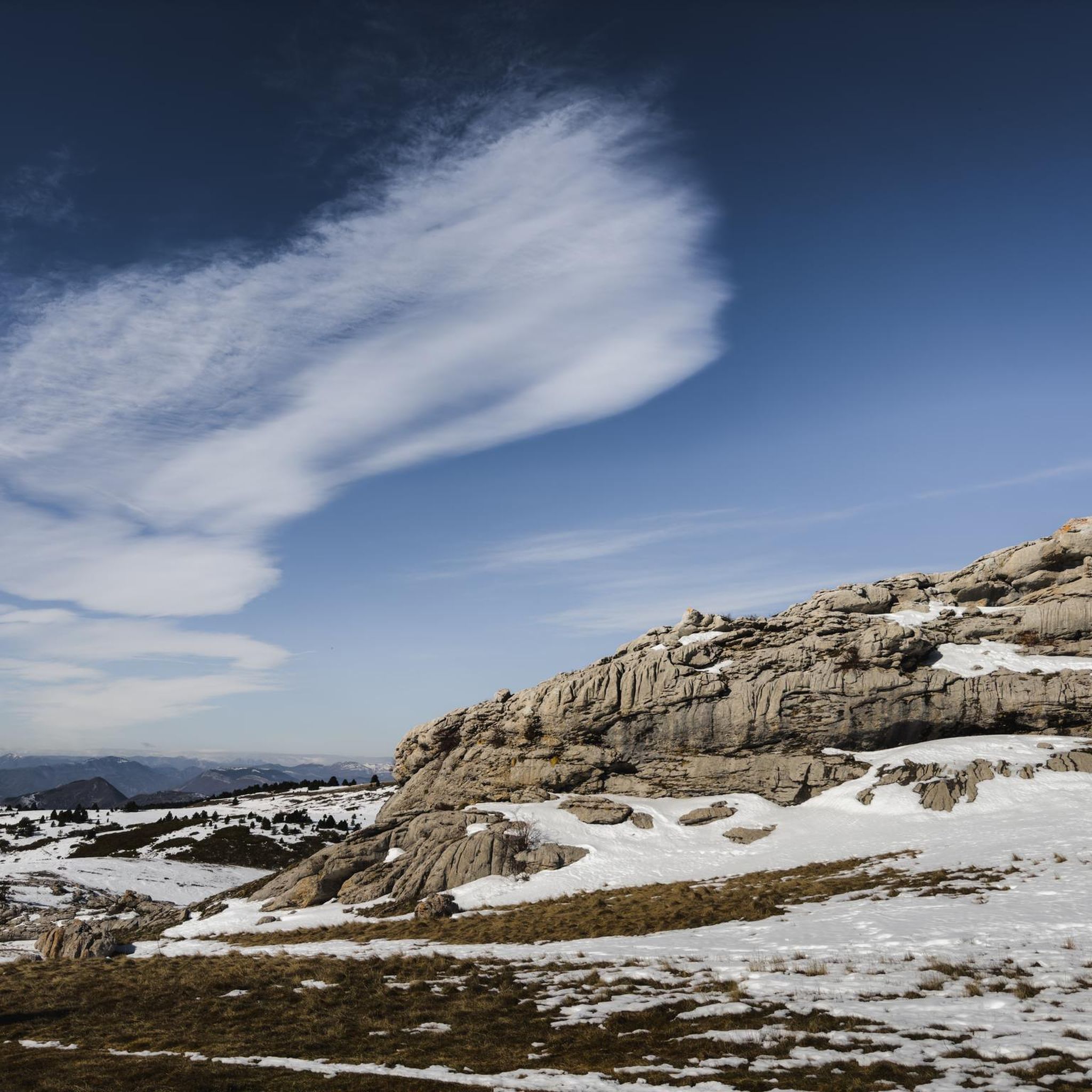
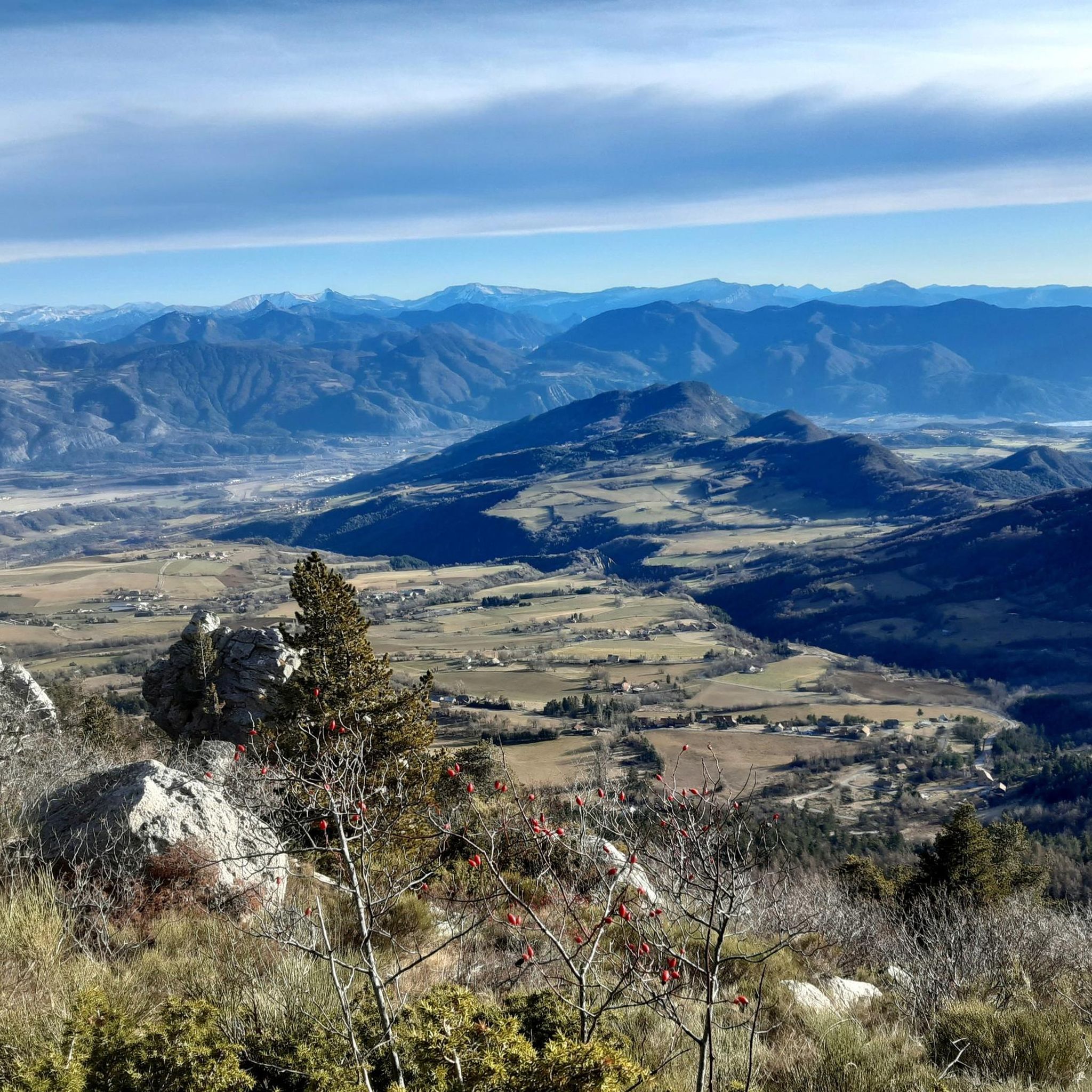
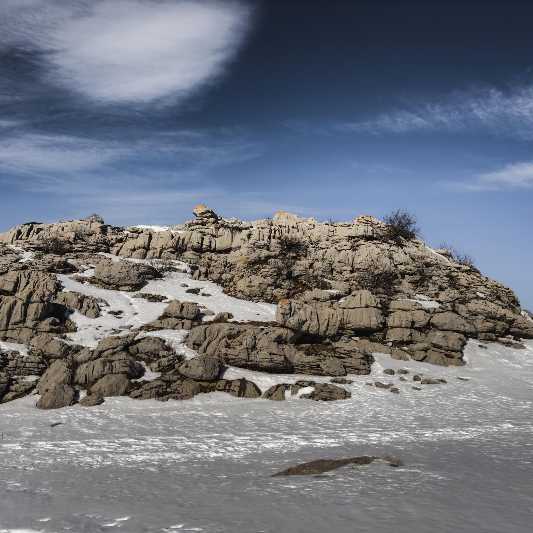

Tips from the Community


The last stretch from the field to the summit of Petite Céüze is a climb and a scramble. Not for those with a fear of heights. It's doable, but be careful. The same goes for the descent! Our eleven-year-old had the time of his life. The view from the top is breathtaking, and you can see far and wide!
1
0

The effort (crossing the delicate rock bar) is well rewarded by a magnificent view.
2
0

With its 2,016 meters this pass offers a magnificent balcony over the surrounding peaks, such as the peaks of Dévoluy.
0
0

The Montagne de Céüse culminates at an altitude of 2,016m. It is included in the Natura 2000 protected area. Some of the most extreme climbing routes in the world are found on the cliffs of the mountain. From the top there is an exceptional view.
0
1

Frequently Asked Questions
What kind of terrain can I expect on hikes around Sigoyer?
Hiking around Sigoyer offers a diverse landscape within the Durance Valley. You'll find a blend of gentle rolling hills and dramatic rocky cliffs, particularly around Céüse Mountain. The region is also known for its unique marl formations, which create distinctive geometric shapes in the mountains, especially visible near the Espréaux Pass.
Are there challenging hikes for experienced hikers in Sigoyer?
Yes, Sigoyer offers several challenging routes. For instance, the Guérins Pass – La Petite Céüse loop from Col des Guérins is a difficult 3.9-mile (6.3 km) path providing expansive vistas and navigating varied mountain terrain. Another demanding option is the View of the Sigoyer plain – Ceuze pike loop from Col des Guérins, an 11.2-mile (18.0 km) trail through mountainous landscapes.
Are there any easy hiking options suitable for beginners in Sigoyer?
While the komoot guide primarily features moderate to difficult routes, the broader Sigoyer area is known for trails suitable for various fitness levels, including easier walks. These often provide panoramic views without requiring extensive mountaineering experience. Many paths are easily accessible, making them suitable for all skill levels, though specific easy routes are not detailed in the provided data.
What are the best times of year to go hiking in Sigoyer?
The Hautes-Alpes region, where Sigoyer is located, generally offers excellent hiking conditions from spring through autumn. The pure air and tranquil environment are particularly enjoyable during these seasons. While winter hiking is possible, conditions can vary, and specific routes may require appropriate gear or experience due to snow and ice.
Are there any circular hiking routes in Sigoyer?
Yes, many of the popular trails around Sigoyer are circular. Examples include the moderate Ceüse – Les Sciés loop from Camping Les Guérins and the more difficult Guérins Pass – La Petite Céüse loop from Col des Guérins. These loops allow you to start and end at the same point, offering varied scenery along the way.
What natural features or landmarks can I see along the hiking trails?
Hikers in Sigoyer are rewarded with breathtaking panoramic views of the Gap valley, Céüse Mountain, and even distant peaks of the Écrins National Park. You can also explore unique geological marl formations, especially around the Espréaux Pass. The area also features fragrant lavender fields, adding to the sensory experience.
Are there any historical sites or attractions near the hiking routes?
Yes, the area combines natural beauty with historical intrigue. You can visit the ruins of Sigoyer's 13th-century medieval castle, which offers a 360° panorama of the Durance valley. Nearby, the significant 14th-16th century Tallard Castle is also worth exploring.
Is Sigoyer a good destination for family-friendly hikes?
The region offers a variety of trails, and while some are challenging, there are also easier paths suitable for families. The diverse landscapes, including rolling hills and scenic viewpoints, can make for an engaging experience for all ages. However, it's always recommended to check the specific trail details for distance and elevation to ensure it matches your family's capabilities.
Are dogs allowed on the hiking trails in Sigoyer?
Generally, dogs are welcome on many hiking trails in the French Alps, especially if kept on a leash. However, specific regulations can vary, particularly in protected natural areas or near livestock. It's always advisable to check local signage or specific trail guidelines for any restrictions before heading out with your dog.
Where can I find parking for hiking trails in Sigoyer?
Many hiking routes in Sigoyer, especially those starting from popular points like Col des Guérins or Camping Les Guérins, typically have designated parking areas nearby. For example, the Ceüse – Les Sciés loop starts from Camping Les Guérins, implying parking availability there. It's best to check the starting point of your chosen route for specific parking information.
What do other hikers enjoy most about hiking in Sigoyer?
The area is highly rated by the komoot community, with an average score of 4.6 stars from over 190 reviews. Hikers frequently praise the diverse landscapes, the stunning panoramic views of the Gap valley and Céüse Mountain, and the variety of trails that cater to different skill levels. The tranquility and pure air are also often highlighted as key aspects of the experience.
How many hiking trails are available in Sigoyer?
There are over 20 hiking routes available around Sigoyer, ranging from moderate to difficult. This network provides ample opportunities to explore the diverse landscapes of the Durance Valley and Céüse Mountain.
Most popular routes around Sigoyer
Most popular attractions around Sigoyer

Get inspired with the komoot mobile app


Explore more
Browse the best Hikes in other regions.
