The best walks and hikes around La Pernelle
4.5
(923)
5,013
hikers
221
hikes
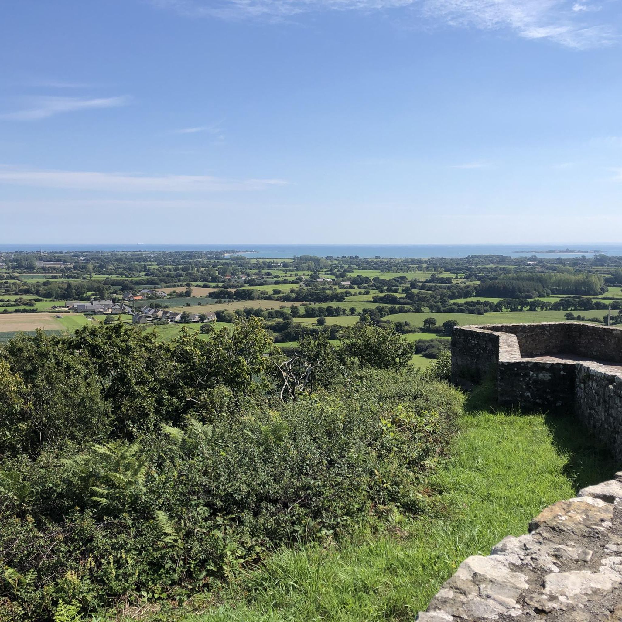
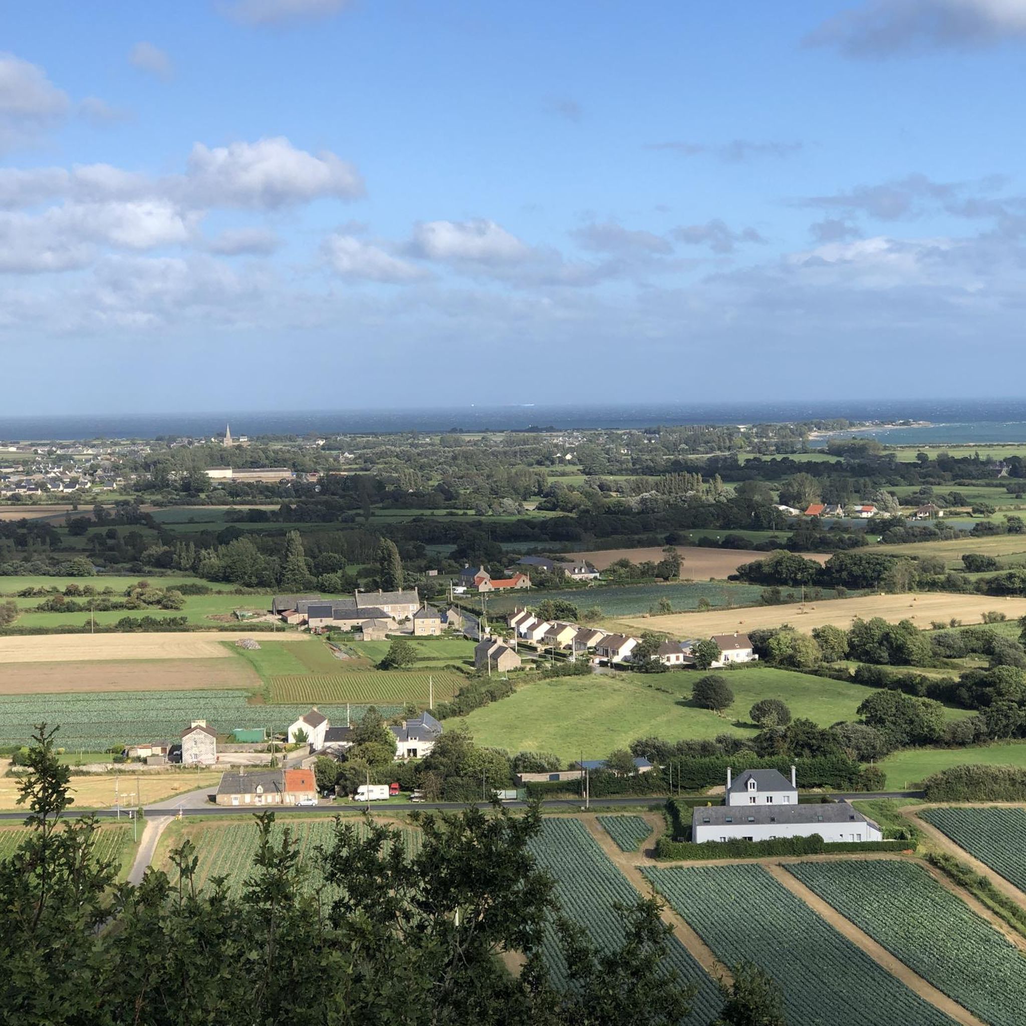
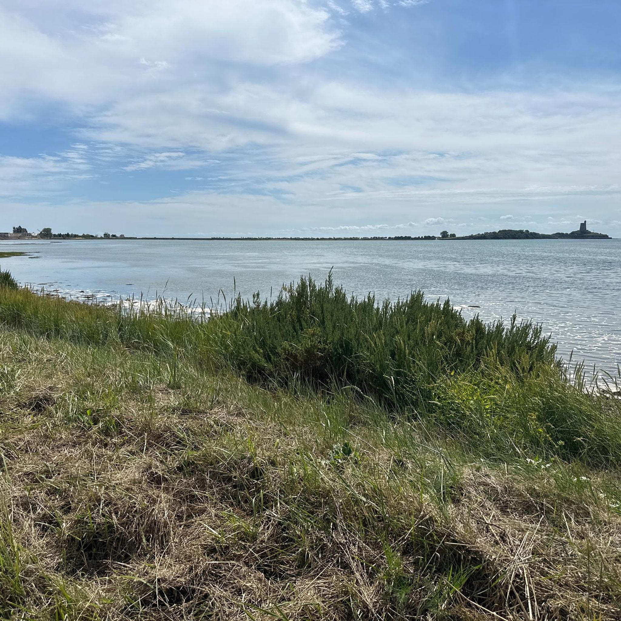
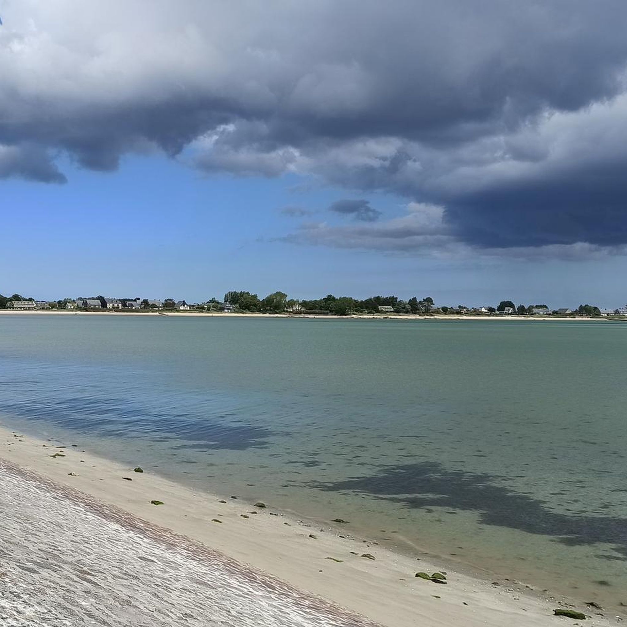
Hiking around La Pernelle offers elevated positions with panoramic views over the Val de Saire and the English Channel. The region features a mix of coastal paths, dense forests, and tranquil agricultural landscapes. Trails often provide vistas stretching from the Norman bocage to the island of Tatihou. This diverse terrain provides varied experiences for hikers.
Best hiking trails around La Pernelle
- The most popular hiking route is Val de Saire Panorama Trail, an easy 3.2 miles (5.2 km) trail…
Last updated: June 23, 2026
3.7
(6)
19
hikers
5.20km
01:24
70m
70m
This easy 3.2-mile hiking loop from La Pernelle offers panoramic views of the Val de Saire and takes about 1 hour and 24 minutes.
4.5
(4)
17
hikers
5.62km
01:25
10m
10m
Easy hike. Great for any fitness level. Easily-accessible paths. Suitable for all skill levels.

Sign up for free
3.0
(1)
4
hikers
11.0km
03:02
180m
180m
Moderate hike. Good fitness required. Easily-accessible paths. Suitable for all skill levels.
4
hikers
Moderate hike. Good fitness required. Easily-accessible paths. Suitable for all skill levels.
3.0
(1)
3
hikers
8.56km
02:18
110m
100m
Moderate hike. Good fitness required. Easily-accessible paths. Suitable for all skill levels.
Get access to more routes and recommendations from other explorers.
Sign up for free
Already have an account?
Our route recommendations are based on thousands of hikes, rides, and runs completed by other people on komoot.
Start today with a free account
Your next adventure awaits.
Login or Signup
Tips from the Community

The hike is beautiful and safe. Except for one major drawback: if you have a dog, be careful because there are several farm properties with dogs running free!! There is a waterfall at the end of the hike.
1
0
Magnificent tour. Not to be missed. Battery well charged. We loved it.
0
0

Childhood memory, it's a very nice place to have fun on the beach
2
0

The climb to the top of La Pernelle hill requires a good level of practice and, above all, training. I recommend the climb from Quettehou (the road starts behind the Intermarché supermarket), which is much quieter from a traffic perspective.
0
0

The Pointe de Saire lighthouse is located in an old fort built by Vauban. It overlooks the Bay of Réville as far as Saint-Vaast-la-Hougue and the Island of Tatihou. Its height is 10m and the range of its light is 10 nautical miles.
0
0

The Cascade de la Saire in Vast is an enchanting natural site located in the Manche department of Normandy. Nestled in the Val de Saire, this waterfall is a hidden gem that attracts nature lovers and hikers. Points of Interest: Natural Beauty: The waterfall is formed by the Saire River that flows through the village of Vast. It is characterized by a picturesque waterfall that descends over several levels of rocks, creating a soothing spectacle of lapping and greenery. The setting around the waterfall is particularly bucolic, with dense and lush vegetation surrounding the site, offering a true haven of peace. Peaceful Ambiance: The Cascade de la Saire is an ideal place to relax and enjoy the tranquility of nature. The soothing sound of flowing water and the serene atmosphere make it a perfect place for a meditative break or a picnic in the great outdoors. It is a popular site for photographers and artists who come to capture the natural beauty of the region. Why visit the Cascade de la Saire in Vast? Bucolic Setting: This is a perfect place for those looking for tranquility and natural beauty, far from the noise and bustle of big cities. Easy Access: The waterfall is easily accessible, making it an ideal destination for a nature outing, whether for a hike, a picnic, or simply a relaxing stroll. Landscape Richness: The waterfall and its surroundings offer a typically Norman landscape, with meadows, woods, and rivers that will delight nature and photography lovers. In summary, the Cascade de la Saire in Vast is a small natural treasure in Normandy, offering a peaceful and picturesque getaway in a green and serene setting. It is an ideal destination for nature lovers and those who wish to discover the authentic charm of the Val de Saire.
1
0

chilled and tasty restaurant built inside a WW2 bunker with a fabulous view - definitely save room for the Cafe Gourmand at the end!
0
0

The waterfall can only be seen from a distance from the road. Access is private.
3
0
Frequently Asked Questions
How many hiking trails are available around La Pernelle, and what are their difficulty levels?
There are over 200 hiking routes around La Pernelle. You'll find a good mix of challenges, with nearly 100 easy trails, over 100 moderate options, and about 15 more difficult routes for experienced hikers.
Where can I find the best panoramic views while hiking in La Pernelle?
La Pernelle is renowned for its elevated position, offering exceptional panoramic views. For expansive vistas across the Val de Saire, consider the Val de Saire Panorama Trail. Another excellent option is the Magnificent panorama – Val de Saire lookout loop from La Pernelle, which provides stunning perspectives over the entire valley and the English Channel, often extending to the island of Tatihou and La Hougue.
Are there any waterfalls to see on hikes near La Pernelle?
Yes, the Val de Saire region features a picturesque waterfall. You can visit the Waterfall on the Saire at Le Vast, which is a charming natural attraction in the area.
What historical sites or landmarks can I explore on a hike around La Pernelle?
The region is rich in history. You can hike to the impressive Gatteville lighthouse, which offers spectacular views from its top. The Fort of La Hougue, a UNESCO World Heritage site, is also accessible via coastal paths and showcases 17th-century military engineering. Additionally, the charming Barfleur Harbour is a historically significant village worth exploring.
Are there coastal hiking paths in La Pernelle?
Yes, La Pernelle is well-connected to coastal paths, including sections of the GR223. These paths allow for extended walks along the sea, offering opportunities to discover local flora and fauna. The Lighthouse, Pointe de Saire – The Seagull 1951 loop from Réville is an example of a coastal route that takes you through these scenic areas.
Are there circular hiking routes available in the La Pernelle area?
Yes, many routes around La Pernelle are designed as circular walks. For instance, the Saint Nicholas Church – Barfleur Harbour loop from Réville offers a longer, challenging circular path connecting historical sites and coastal areas. For a moderate option with great views, consider the Val de Saire lookout – Magnificent panorama loop from La Pernelle.
What do other hikers enjoy most about hiking in La Pernelle?
The area is highly rated by the komoot community, with an average score of 4.5 stars from over 900 reviews. Hikers frequently praise the diverse terrain, from coastal paths to dense forests, and especially the exceptional panoramic views over the Val de Saire and the English Channel.
Are there any family-friendly hiking options in La Pernelle?
Many of the easy routes around La Pernelle are suitable for families. These often include shorter loops with minimal elevation gain, allowing everyone to enjoy the tranquil rural landscapes and scenic viewpoints without excessive difficulty. The Val de Saire Panorama Trail is an easy 3.2-mile option that offers rewarding views.
What kind of terrain can I expect on hikes around La Pernelle?
Hiking around La Pernelle offers a varied terrain. You'll encounter elevated positions providing panoramic views, coastal paths along the English Channel, dense forests, and tranquil agricultural landscapes with pastures and farmland. This mix provides diverse experiences, from open vistas to sheltered woodland trails.
Is there parking available for hikers in La Pernelle?
Yes, parking is generally available in and around La Pernelle, particularly near popular trailheads and village centers. It's advisable to check specific starting points for routes for the most convenient parking locations.
What is the best time of year to go hiking in La Pernelle?
The region benefits from a mild climate, making it suitable for hiking through much of the year. Spring and autumn offer pleasant temperatures and beautiful scenery, with blooming flowers or vibrant fall foliage. Summer is also popular, especially for coastal walks, while winter can provide a unique, crisp experience, though some paths might be muddier.
Most popular routes around La Pernelle
Most popular attractions around La Pernelle

Get inspired with the komoot mobile app


Explore more
Browse the best Hikes in other regions.
