The best running trails around Lardier-Et-Valença
4.5
(14)
671
runners
71
runs
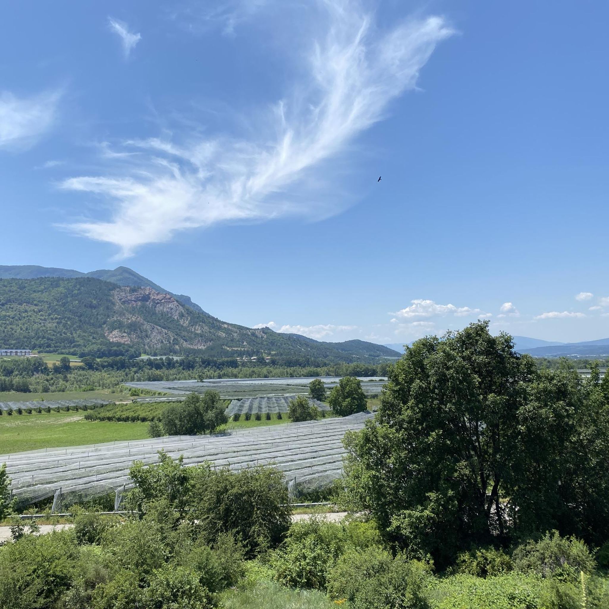
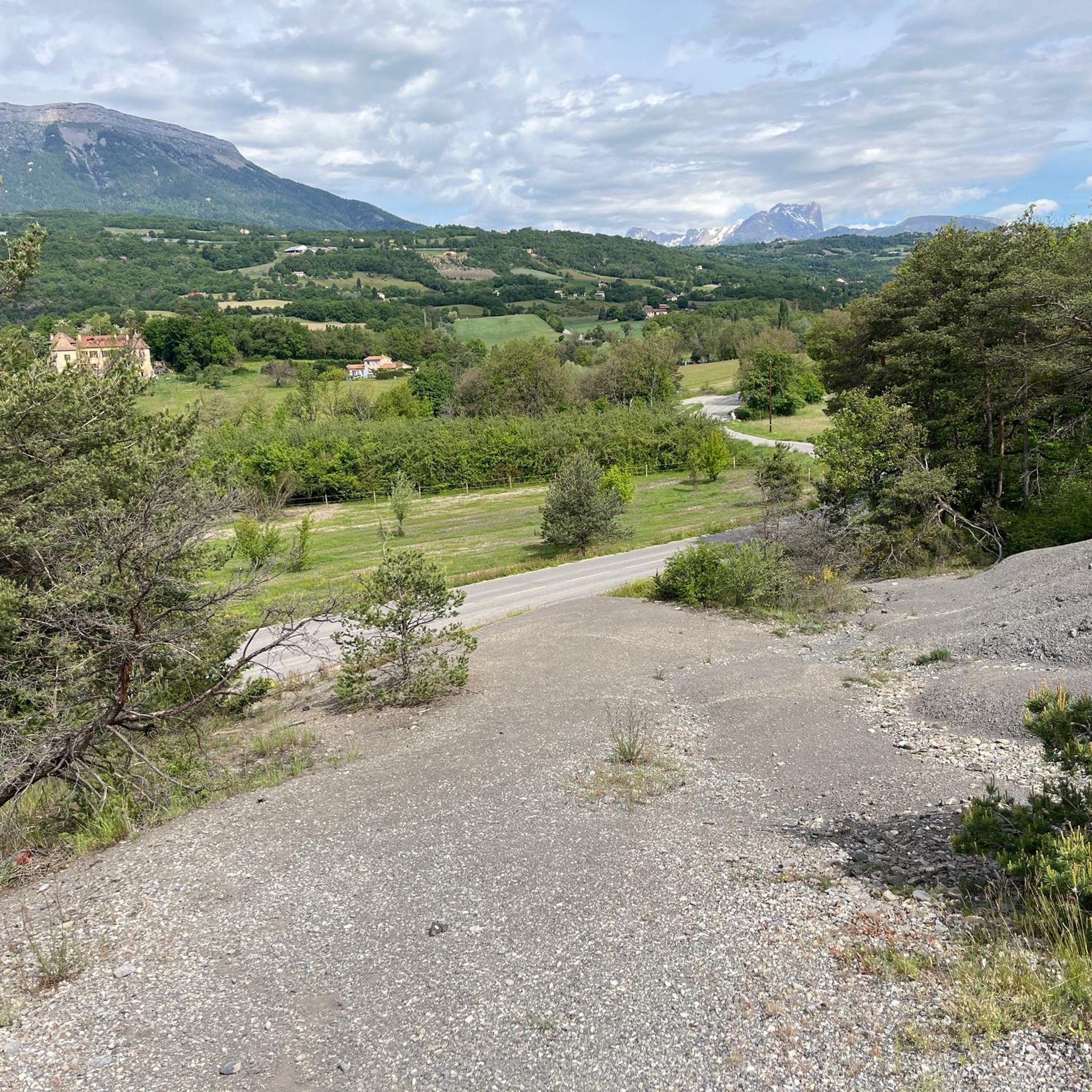
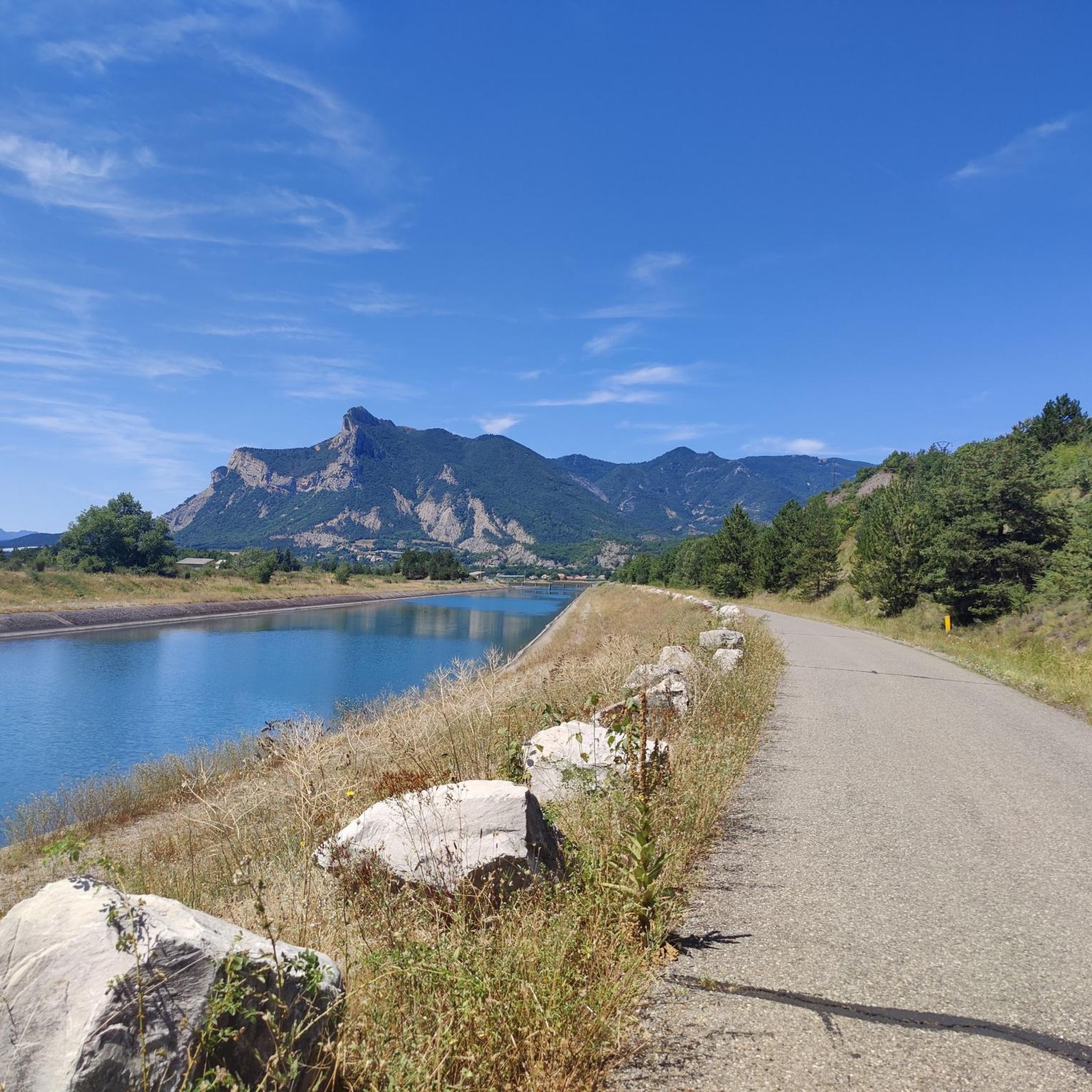
Jogging around Lardier-Et-Valença offers diverse natural landscapes, characterized by fields, hamlets, and forests. The region features the Durance River flowing nearby and the Céüzette mountain as a scenic backdrop, providing varied terrain for running. Runners can explore the fertile Durance Valley with its apple orchards or ascend to higher elevations for views of the Céüze massif and the summits of the Ecrins National Park. This area provides a mix of flat river paths and more challenging mountain trails.
Best jogging…
Last updated: May 12, 2026
33
runners
8.38km
01:02
350m
350m
Hard run. Very good fitness required. Sure-footedness, sturdy shoes and alpine experience required.
25
runners
5.71km
01:05
400m
400m
Hard run. Very good fitness required. Sure-footedness, sturdy shoes and alpine experience required.

Sign up for free
22
runners
9.54km
01:01
70m
70m
Moderate run. Good fitness required. Mostly paved surfaces. Suitable for all skill levels.
9
runners
6.67km
00:46
110m
110m
Moderate run. Good fitness required. Mostly paved surfaces. Suitable for all skill levels.
11
runners
11.6km
01:20
320m
320m
Hard run. Very good fitness required. Mostly paved surfaces. Suitable for all skill levels.
Get access to more routes and recommendations from other explorers.
Sign up for free
Already have an account?
Our route recommendations are based on thousands of hikes, rides, and runs completed by other people on komoot.
Start today with a free account
Your next adventure awaits.
Login or Signup

Tips from the Community


visit is of course subject to a fee
1
0

Tallard village is famous for its medieval heritage, particularly the 14th-16th century castle. The streets are narrow and winding and you can really feel the medieval heritage while walking or riding around.
1
0

The small streets of the town of Tallard lead to its 10th century castle. Its exceptional condition is a reference for all history and architecture enthusiasts.
1
1

With its 2,016 meters this pass offers a magnificent balcony over the surrounding peaks, such as the peaks of Dévoluy.
0
0

Town with a beautiful castle. Good for a break
1
0
Frequently Asked Questions
How many running routes are available in the Lardier-Et-Valença area?
There are over 75 running routes around Lardier-Et-Valença, catering to various skill levels. You'll find a mix of easy, moderate, and difficult trails to explore the diverse landscapes of the region.
What kind of landscapes can I expect while running in Lardier-Et-Valença?
Jogging in Lardier-Et-Valença offers a rich variety of landscapes. You can expect to run through bucolic scenery, including fields, hamlets, forests, and flowery meadows. The
Durance River
flows nearby, providing picturesque routes along its valley with apple orchards. Higher up, trails offer breathtaking panoramas of theCéüze massif
, the summits of theEcrins National Park
, and theDévoluy
.Are there any easy or beginner-friendly jogging routes in Lardier-Et-Valença?
Yes, Lardier-Et-Valença offers a few easy running routes perfect for beginners or those looking for a relaxed pace. These trails typically feature less elevation gain and cover gentler terrain, allowing you to enjoy the scenery without significant challenge.
Can I find circular running routes in the region?
Many of the running routes in Lardier-Et-Valença are designed as circular loops, allowing you to start and finish at the same point. For example, the Tallard Castle – Tallard Castle loop from Tallard is a moderate 6.2-mile (10.1 km) trail that brings you back to your starting point after exploring historic areas and the Durance Valley.
What are some notable landmarks or attractions I might see on a run?
Several routes pass by interesting landmarks. You could run past the historic Tallard Castle, or explore areas near the Massif de Céüse. The region also features various mountain passes like Espréaux Pass and Faye Pass, offering stunning views.
Are there any running routes suitable for families with children?
While specific 'family-friendly' routes are not explicitly categorized, many of the easier and moderate trails along the Durance Valley, such as sections of the
Durance à Vélo (V862)
, offer flat and scenic paths that could be suitable for families. These routes often pass through apple orchards and provide a pleasant, less strenuous experience.What do other runners enjoy most about jogging in Lardier-Et-Valença?
The running trails in Lardier-Et-Valença are highly rated by the komoot community, with an average score of 4.6 stars. Runners frequently praise the diverse terrain, from flat river paths to challenging mountain trails, and the exceptional panoramic views of the
Céüze massif
and theEcrins National Park
.Are there any long-distance running options in the area?
For those seeking longer runs, routes like the Tallard Castle loop from Fouillouse offer a moderate 7.5-mile (12.0 km) experience. Additionally, segments of the historic
"Napoleon Horse Route"
could be explored for varied and extended terrain, tracing historical footsteps through diverse landscapes.What is the best time of year to go running in Lardier-Et-Valença?
Lardier-Et-Valença is beautiful throughout the year, but spring and autumn are particularly ideal for running. Spring brings blooming meadows and pleasant temperatures, while autumn offers vibrant colors, especially along the
Serre de Malamort ridge
, enhancing the undergrowth for a truly immersive experience. Summer can be warm, so early morning or late evening runs are recommended.Are there any challenging running routes for experienced runners?
Yes, Lardier-Et-Valença is home to many challenging routes. For instance, the Guérins Pass loop from Camping Les Guérins is a difficult 5.2-mile (8.4 km) trail with significant elevation changes. Another demanding option is the Les Sciés – Ceüse loop from Col des Guérins, a difficult 3.5-mile (5.7 km) path winding through varied terrain with notable elevation gain.
Where can I find parking near the running trails?
Many trailheads in the Lardier-Et-Valença region offer parking facilities. For example, routes like the Guérins Pass loop start from areas like Camping Les Guérins, which typically have parking available. Similarly, routes originating from
Col des Guérins
orTallard
often have designated parking spots nearby.Are there any running routes that offer views of the Durance River?
Absolutely. The
Durance River
is a prominent natural feature of the region, and many running routes follow its course or offer views of the fertileDurance Valley
. Sections of theDurance à Vélo (V862)
, while primarily for cycling, provide flat and scenic paths perfect for jogging along the river, allowing you to discover its beauty and the surrounding apple orchards.Most popular routes around Lardier-Et-Valença
Most popular attractions around Lardier-Et-Valença

Get inspired with the komoot mobile app


Explore more
Browse the best Running Trails & Routes in other regions.
