The best walks and hikes around Saint-Nazaire-Le-Désert
4.4
(520)
3,892
hikers
84
hikes
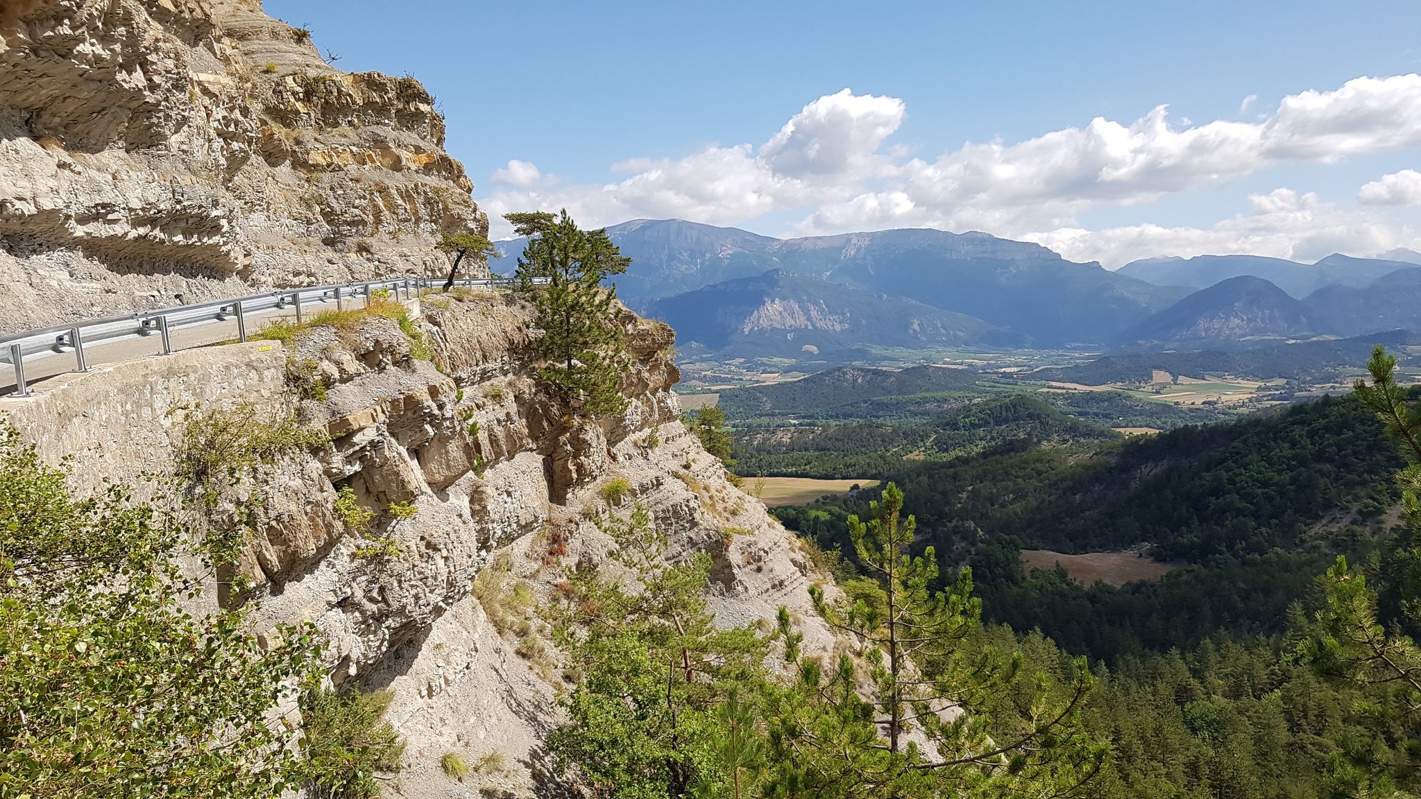
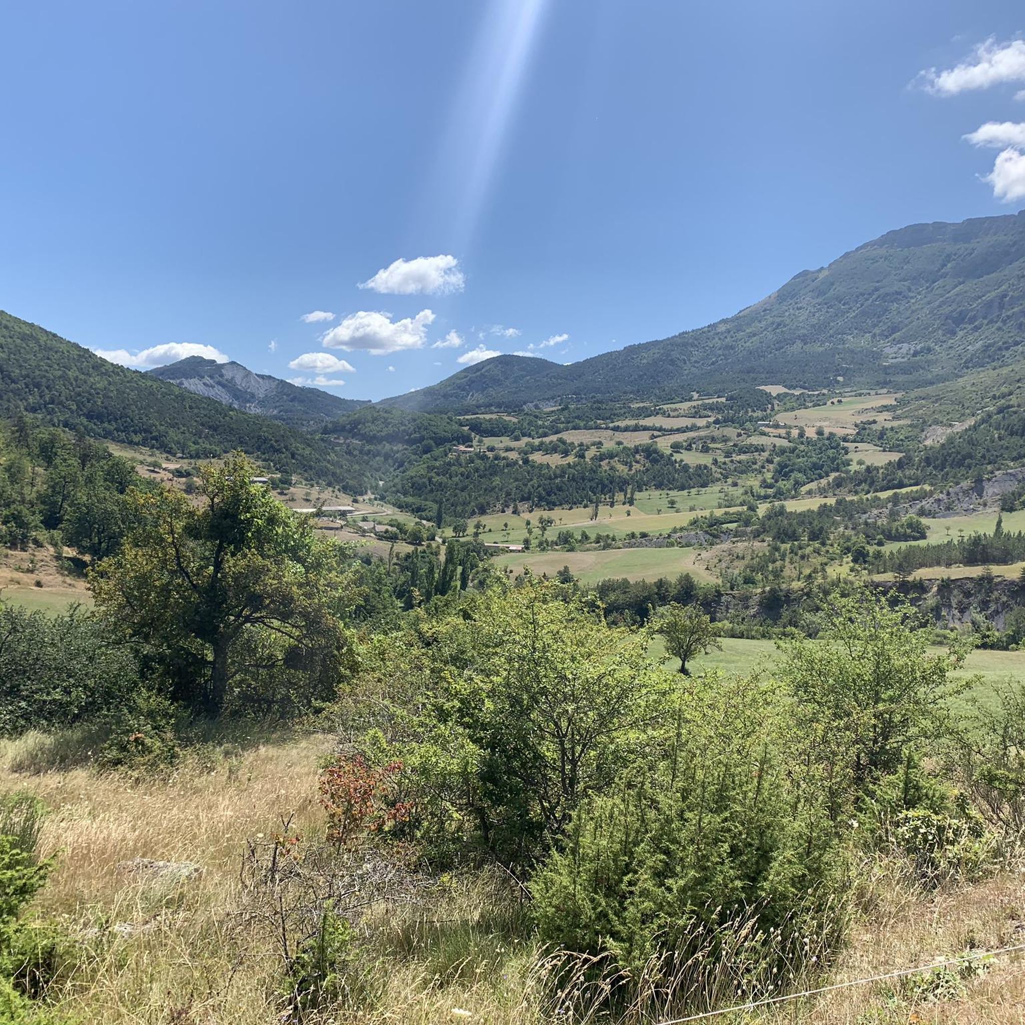
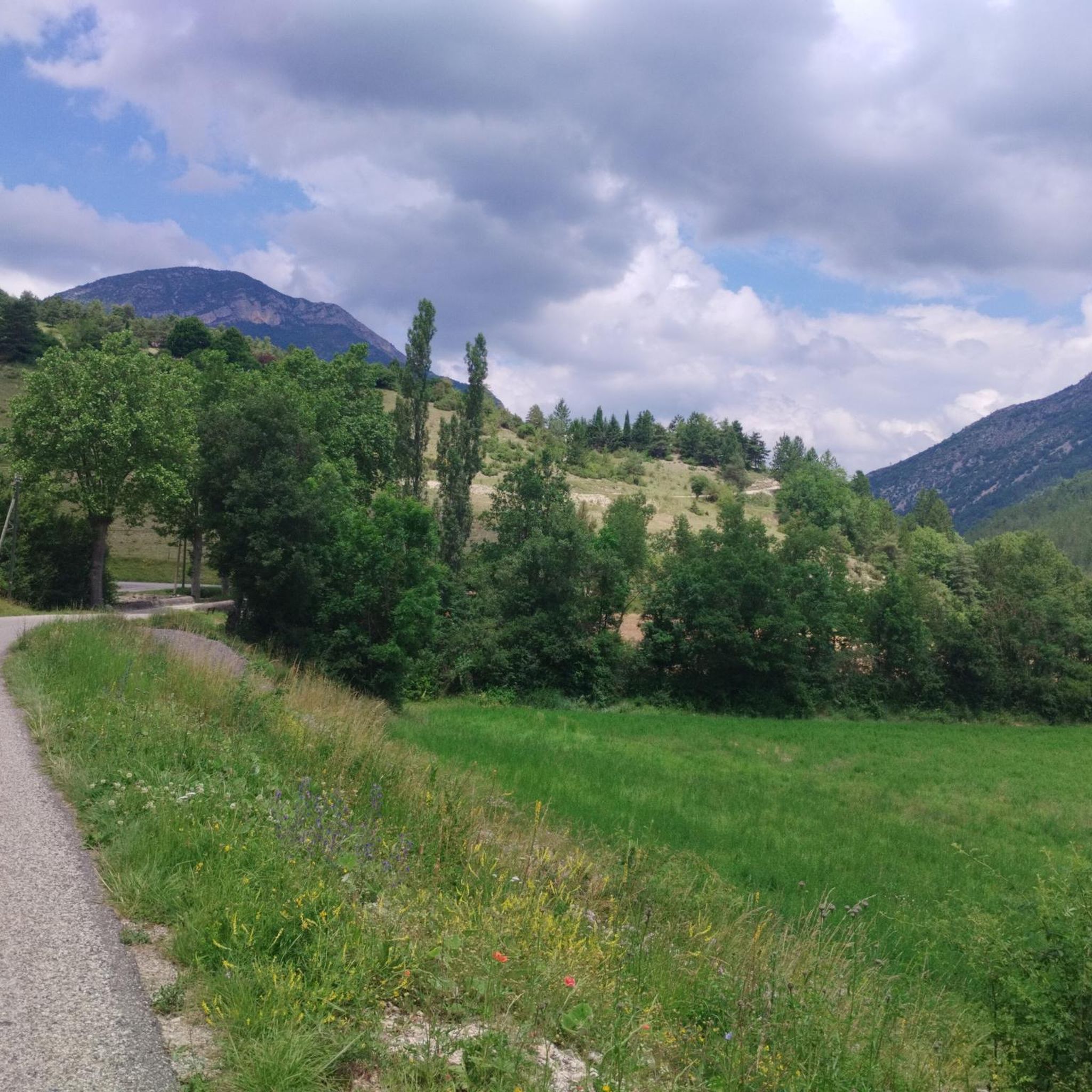
Hiking around Saint-Nazaire-Le-Désert offers access to a diverse and rugged natural landscape in the Drôme department of southeastern France. The region is characterized by wild terrain, deep valleys, natural constrictions (cluses), and numerous mountain passes. Hikers can explore areas like the Gorges de la Roanne, where the river carves through marl-limestone rocks, and ascend peaks such as Grand Delmas (1544m) and La Berche (1570m). This varied topography supports different environments, from arid slopes to mountain pastures and pine forests.
Best…
Last updated: June 25, 2026
5.0
(6)
43
hikers
10.1km
03:52
700m
700m
Moderate hike. Good fitness required. Easily-accessible paths. Suitable for all skill levels.
5.0
(2)
22
hikers
11.3km
03:53
600m
600m
Moderate hike. Good fitness required. Easily-accessible paths. Suitable for all skill levels.

Sign up for free
3.3
(3)
29
hikers
6.75km
03:21
600m
600m
Moderate hike. Good fitness required. Mostly accessible paths. Sure-footedness required.
5.0
(2)
22
hikers
Moderate hike. Good fitness required. Easily-accessible paths. Suitable for all skill levels.
5.0
(3)
18
hikers
9.36km
02:59
410m
410m
Moderate hike. Good fitness required. Easily-accessible paths. Suitable for all skill levels.
Get access to more routes and recommendations from other explorers.
Sign up for free
Already have an account?
Our route recommendations are based on thousands of hikes, rides, and runs completed by other people on komoot.
Start today with a free account
Your next adventure awaits.
Login or Signup
Popular around Saint-Nazaire-Le-Désert

Other adventures around Saint-Nazaire-Le-Désert

Tips from the Community

One of the most exceptional hikes in our region. Forest path north of the Renard pass. Very steep path to the Gouy pass. Very beautiful climb on the ridge to the summit of Créma. Magnificent views of Miélandre, Angèle (the Merlu) and, to the north, the Couspeau range and the Saou syncline. Very pleasant descent (although a little steep) on a forest path. The end with a little bit of asphalt to rest the joints. For almost everyone (somewhat technical passages).
1
0

The climb is really worth it. We did it in the afternoon. Definitely take enough water with you. It worked for our 9 year old daughter and with 2 year old on the back. The beginning is not so nice, because on an asphalt road. The route is relatively well marked.
1
0

leave the Col de Valouse early in the morning for a few difficult passages
0
0

The Col des Guillens from Saint-Nazaire-le-Désert is 3.9 km long with a total drop of 234 m. The average gradient is 6.1% with maximum gradients of 8.5%.
2
0

Wonderful view over the lavender fields.
1
0
Frequently Asked Questions
How many hiking trails are available around Saint-Nazaire-Le-Désert?
There are over 80 hiking trails to explore around Saint-Nazaire-Le-Désert. These routes cater to various skill levels, with 19 easy, 45 moderate, and 20 difficult options, ensuring there's a suitable path for almost every hiker.
What kind of terrain can I expect on hikes in Saint-Nazaire-Le-Désert?
The terrain around Saint-Nazaire-Le-Désert is diverse and rugged, shaped by the Alpine folding. You'll encounter deep valleys, natural constrictions (cluses), and numerous mountain passes. Expect paths through wild landscapes, along the turquoise waters of the Gorges de la Roanne, and ascents to peaks like Grand Delmas and La Berche, offering varied environments from arid slopes to mountain pastures and pine forests.
Are there any easy or family-friendly hiking routes in the area?
Yes, Saint-Nazaire-Le-Désert offers 19 easy hiking routes suitable for families or those seeking a more relaxed walk. While specific family-friendly amenities might vary, these trails provide a gentler introduction to the region's natural beauty. For example, the area features easy strolls alongside more challenging ascents.
What are some notable natural landmarks or viewpoints to see while hiking?
The region is rich in natural landmarks and panoramic viewpoints. You can explore the magnificent Roanne Gorges, where the river carves through marl-limestone rocks. Other highlights include the panoramic crest of La Berche, the summit of Grand Delmas on Montagne de Couspeau, and the Col de Pennes, known for its scenic beauty. You might also encounter rock arches like 'Le Trou de Souris' and other summits such as Le Veyou and Les Trois Becs.
Are there any circular hiking routes available?
Yes, many of the hiking routes around Saint-Nazaire-Le-Désert are circular, allowing you to start and end at the same point. Examples include the moderate View of Col de Reis – signpost loop from Chaudebonne, the Hiking loop from Patas, and the Saint-Nazaire-le-Désert loop from Saint-Nazaire-le-Désert. These loops offer diverse scenery and varying levels of challenge.
What do other hikers say about the trails in Saint-Nazaire-Le-Désert?
The hiking routes in Saint-Nazaire-Le-Désert are highly rated by the komoot community, with an average score of 4.3 stars from nearly 500 reviews. Hikers often praise the diverse and wild terrain, the stunning panoramic views from mountain passes, and the unique experience of exploring deep valleys and gorges like the Roanne. Over 3,700 visitors have used komoot to discover the area's varied landscapes.
What is the best time of year to go hiking in Saint-Nazaire-Le-Désert?
The region's diverse ecosystems, from arid south-facing slopes to mountain pastures, suggest that spring and autumn offer ideal conditions for hiking, with pleasant temperatures and vibrant natural colors. Summer can also be suitable, especially for higher altitude trails, but be prepared for warmer weather in the valleys. Winter hiking might be possible on lower trails, but higher mountain passes could be challenging due to snow.
Are there any hikes that feature water elements like rivers or gorges?
Absolutely. Saint-Nazaire-Le-Désert is situated at the end of the magnificent Gorges de la Roanne, where the turquoise waters of the Roanne river carve through marl-limestone rocks. Many trails offer opportunities to experience this unique natural feature, providing refreshing views and sounds of flowing water. The region also features other notable gorges, such as the Gorges de l'Arayon.
What are the typical distances and elevation gains for moderate hikes?
Moderate hikes in Saint-Nazaire-Le-Désert typically range from 6 to 12 kilometers (4 to 7.5 miles) with significant elevation gains. For instance, the View of Col de Reis – signpost loop from Chaudebonne is 10.1 km with over 700 meters of elevation gain, while the Saint-Nazaire-le-Désert – View of the Valley loop is 12.3 km with over 430 meters of elevation gain. These routes offer a good challenge and rewarding views.
Is there public transport available to reach Saint-Nazaire-Le-Désert for hikers?
Saint-Nazaire-Le-Désert is a charming, somewhat isolated village, which contributes to its wild and untouched appeal. While specific public transport details for reaching the village directly for hiking might be limited, it serves as a gateway to the surrounding natural territory. For detailed information on transport options to the wider Diois region, you might consult local tourism resources like Diois Tourisme.
Are there any specific peaks or mountains that can be summited?
Yes, the area boasts numerous mountain passes and peaks for hikers. You can ascend to the Grand Delmas peak (1544m) on the Montagne de Couspeau, or hike to the panoramic crest of La Berche (1570m). Other significant mountains include La Servelle (1613m) and Montanègre (1022m), offering challenging and scenic climbs with extensive views.
Most popular routes around Saint-Nazaire-Le-Désert
Most popular attractions around Saint-Nazaire-Le-Désert

Get inspired with the komoot mobile app


Explore more
Browse the best Hikes in other regions.
