The best walks and hikes around Samois-Sur-Seine
4.5
(2140)
9,723
hikers
32
hikes
Hiking around Samois-Sur-Seine offers a blend of riverine and forest landscapes. The region is situated along the Seine River, providing extensive riverbanks and towpaths, and borders the vast Fontainebleau Forest, characterized by diverse tree species. This combination creates varied terrain, from flat riverside walks to trails within the forest. The area also features smaller hills and historic village pathways.
Best hiking trails around Samois-Sur-Seine
- The most popular hiking route is Viewpoint – Calvary Cross loop from Samoreau, a 9.8…
Last updated: June 25, 2026
4.7
(26)
76
hikers
15.9km
04:12
140m
140m
Moderate hike. Good fitness required. Easily-accessible paths. Suitable for all skill levels.
4.5
(17)
42
hikers
9.65km
02:34
100m
100m
Moderate hike. Good fitness required. Easily-accessible paths. Suitable for all skill levels.

Sign up for free
4.8
(11)
48
hikers
20.7km
05:27
180m
180m
Hard hike. Very good fitness required. Easily-accessible paths. Suitable for all skill levels.
4.7
(11)
45
hikers
13.5km
03:31
100m
100m
Moderate hike. Good fitness required. Easily-accessible paths. Suitable for all skill levels.
4.8
(4)
16
hikers
6.56km
01:45
80m
80m
Easy hike. Great for any fitness level. Easily-accessible paths. Suitable for all skill levels.
Get access to more routes and recommendations from other explorers.
Sign up for free
Already have an account?
Our route recommendations are based on thousands of hikes, rides, and runs completed by other people on komoot.
Start today with a free account
Your next adventure awaits.
Login or Signup
Popular around Samois-Sur-Seine
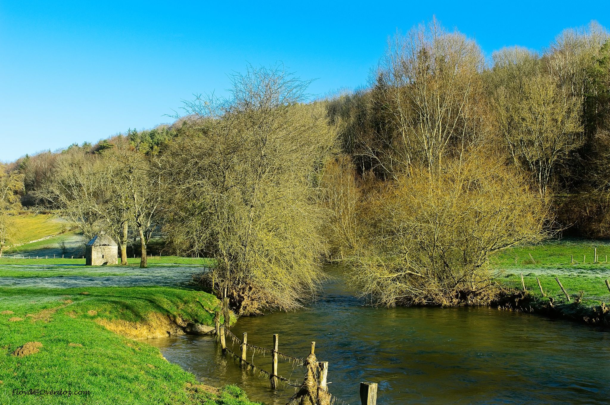
Exploring the Seine on the Île-de-France – hike the GR 2
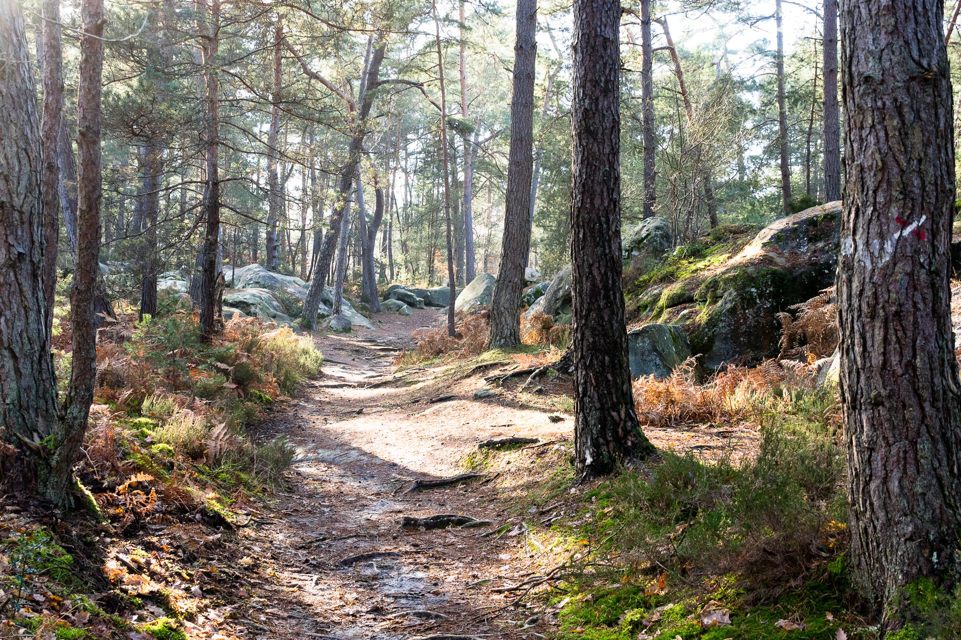
Between the rocks and the ages — les sentiers Denecourt-Colinet
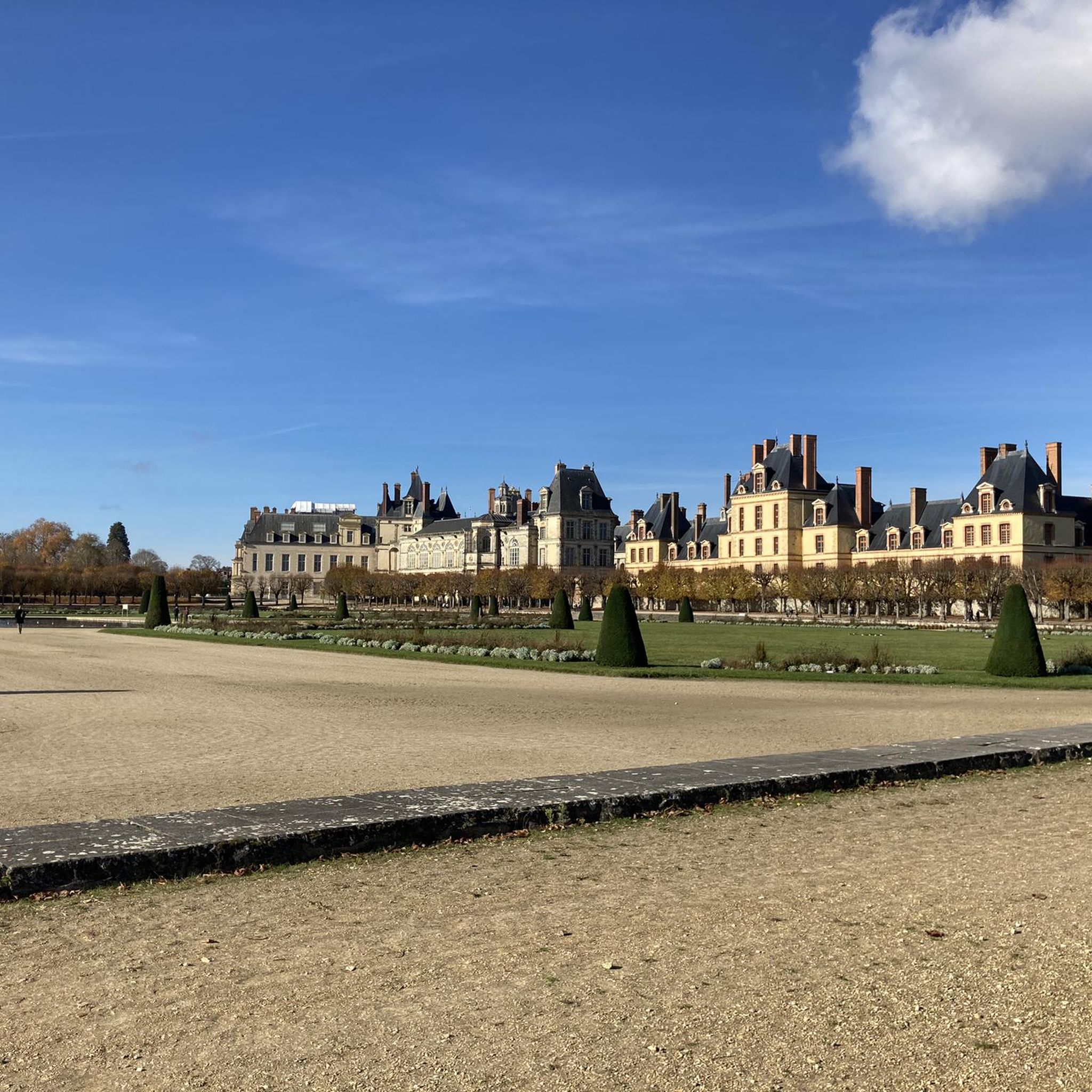
Road Cycling Routes around Samois-Sur-Seine
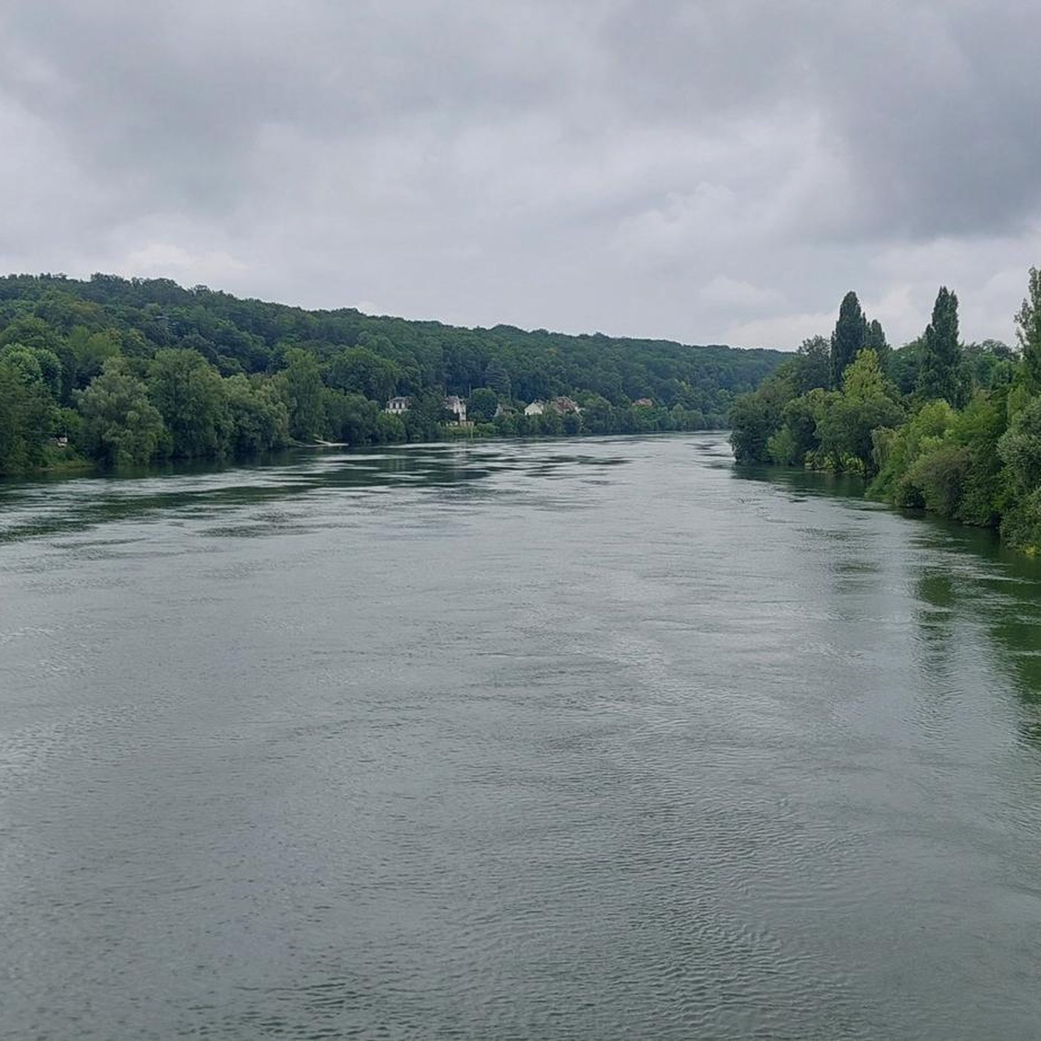
MTB Trails around Samois-Sur-Seine
Cycling around Samois-Sur-Seine

Running Trails around Samois-Sur-Seine

Gravel biking around Samois-Sur-Seine


Tips from the Community

Viewpoint overlooking the surroundings, a must-see
0
0

The origins of this imposing wayside cross are said to date back to the 17th century; it has been destroyed several times since – including during the French Revolution – but always rebuilt. The crossing, i.e. the intersection of the longitudinal and transverse beams of the cross, is designed as a closed circle, the transverse beam bears the inscription „Croix de Calvaire“. The name refers to Calvary Hill, in memory of the crucifixion of Jesus Christ on Golgotha (this Aramaic word means – just like Calvaire, derived from Latin – „skull place“) near Jerusalem.
2
0

Footbridge which provides access to the Cradle Island from lower Bréau.
0
0
This villa became a historic monument in 2002.
0
0
The origins of this impressive crossroads are said to date back to the 17th century; since then it has been destroyed several times - including during the French Revolution - but has always been rebuilt. The crossing, i.e. the intersection of the longitudinal and cross beams of the cross, is designed as a closed circle; the cross beam bears the inscription "Croix de Calvaire". The name refers to Calvary, in memory of the crucifixion of Jesus Christ on Golgotha (this Aramaic word - like Calvaire, which is derived from Latin - means "place of the skull") near Jerusalem.
3
0

Samois was not on Thibaut de Champagne's itinerary. It seemed useful to me to leave this village to have a view of the hillside opposite Héricy-Vulaines-Samorau. We regret that the old Roman bridge between Samois-sur-Seine and Héricy no longer exists, Louis XVIII decides to rebuild one, between these two communes. Built from wood provided by the surrounding forests, its location further upstream of the village, near Samoreau, is more favorable thanks to a narrowing of the Seine. In 1811 work began, but it was only in 1825 that the first Valvins bridge was inaugurated. To be more solid and adapted to modern life, in 1866 the bridge was rebuilt as a metal structure. After the Second World War, the bridge, completely destroyed by the German army, was entirely rebuilt in reinforced concrete, wider and asphalted, to facilitate the ever-increasing traffic] (Wikipedia has shortened the history of this bridge: The army American having crossed the Seine on a boat bridge, a temporary bridge in metal structure with wooden floor then bitumen was rebuilt to replace the one destroyed by the Germans. The current concrete bridge dates from 1977). The plateau of La Brosse and Fontaineroux, which is part of the commune, has been inhabited since the Neolithic period but the village of Héricy has its origins in the warehouses built by the Senon nautes, opposite the port of Samois-sur-Seine, the most important between Sens and Lutetia. Under Louis between Melun and Montereau-Fault-Yonne. It has been said to be Roman, but in 1177 it was already there, flanked by its mills. It was probably in the 14th century that it was equipped with towers and that the city was surrounded by walls and moats. With its large fortified gates to the south and north, Héricy then had the title of town. She suffered greatly from the Hundred Years' War. There were battles there several times and it was occupied from 1419 to 1430. The first written mention of the name is villa Velcina. This refers to “villa”, a large farm with farm buildings. The villa is a Roman creation whose name was given to later foundations (from the 6th to the 12th century). In relation to the other surrounding villages or hamlets, Samoreau, Héricy and La Brosse in the 12th century and even Fontaineroux in 1279. All this means that a large Gallo-Roman or Merovingian property may have existed on the site of the village. Samoreau was already occupied during the Neolithic period: numerous cut flints (chisels, scrapers, drills, saws, etc.) testify that peoples were “attracted there by the river where they found both the water necessary for their needs and fish in these waters, game on these banks, finally the very raw material of their weapons and their tools, the precious flint. » In 1177 the abbey of Saint-Germain-des-Prés acquired part of the village territory. In 1520 François I bought the hillsides where he built the Château des Pressoirs du Roy. From 1592 to 1597, Henri IV stayed at the Pressoirs du Roy in the company of the beautiful Gabrielle d’Estrées. In 1679 the royal water coach was created between Paris and Valvins (the village closest to Samoreau, on the banks of the Seine).
0
0

legendary stop in the middle of the forest. Only trains departing from Gare de Lyon at 8:16 a.m. and 9:16 a.m. on weekends.
3
0

Ideal for the picnic under shelter.
0
0
Frequently Asked Questions
What types of landscapes can I expect to see while hiking around Samois-Sur-Seine?
Hiking around Samois-Sur-Seine offers a diverse mix of scenery. You'll find extensive riverbanks and towpaths along the Seine River, providing serene waterside views. The region also borders the vast Fontainebleau Forest, characterized by its varied tree species and dense woodlands. This combination creates varied terrain, from flat riverside walks to more challenging forest trails.
Are there easy hiking options suitable for beginners or families in Samois-Sur-Seine?
Yes, Samois-Sur-Seine offers several easy hiking options. There are 18 easy routes available, many of which are gentle strolls along the Seine River or through the village's historic 'sentes'. For example, the Samois Tower – View of the Seine loop from Héricy is an easy 6.6 km trail that takes about 1 hour 46 minutes, suitable for most fitness levels.
Can I find circular hiking routes in the Samois-Sur-Seine area?
Yes, many of the hiking routes in Samois-Sur-Seine are circular, allowing you to start and end at the same point. Popular options include the Viewpoint – Calvary Cross loop from Samoreau, which is a 15.8 km moderate trail, and the Denecourt Tower – View of the Seine loop from Samois-sur-Seine, a 9.6 km moderate path.
What historical or cultural landmarks can I discover on hikes near Samois-Sur-Seine?
Beyond natural beauty, Samois-Sur-Seine is rich in history. You can explore the village's medieval charm through its 'sentes' (pedestrian pathways) and see the historic Saint-Hilaire Church. The Samois Tower – View of the Seine loop from Héricy passes by the notable Samois Tower. Additionally, the famous jazz guitarist Django Reinhardt's former residence is in the village. For a grand historical experience, the UNESCO World Heritage site of Fontainebleau Castle is just 6 km away.
Are there any specific trails that offer scenic viewpoints or river views?
Absolutely. The region's location along the Seine River means many trails offer beautiful river views. The Denecourt Tower – View of the Seine loop from Samois-sur-Seine features sections directly along the Seine. The Viewpoint – Calvary Cross loop from Samoreau also includes views from a viewpoint, offering expansive vistas of the surrounding landscape.
What do other hikers say about the trails in Samois-Sur-Seine?
The trails in Samois-Sur-Seine are highly regarded by the komoot community, with an average rating of 4.5 stars from over 1800 reviews. Hikers often praise the varied terrain, the beautiful mix of river and forest landscapes, and the well-maintained paths that cater to different skill levels.
Are there any natural attractions like lakes or caves to explore near Samois-Sur-Seine?
Yes, the area around Samois-Sur-Seine features several natural attractions. You can visit Piat Pond or Fairy Pond for tranquil waterside experiences. For those interested in unique geological features, the Grotte du Serment and Béatrix Cave offer interesting explorations within the Fontainebleau Forest.
How many hiking trails are available in Samois-Sur-Seine?
There are over 35 hiking trails available around Samois-Sur-Seine. These routes range in difficulty, with 18 easy, 14 moderate, and 3 difficult options, ensuring there's a suitable path for every hiker.
Are there any trails that pass by the famous 'Les Affolantes' villas?
Yes, the Seine riverbanks in Samois-Sur-Seine stretch for six kilometers and are lined with the splendid 19th-century bourgeois villas known as 'Les Affolantes'. Many riverside walks and trails, such as sections of the Denecourt Tower – View of the Seine loop from Samois-sur-Seine, will allow you to admire these unique architectural and historical elements.
Is there a trail suitable for people with reduced mobility?
Yes, the Petit Barbeau Walking Trail, which leads from the village along the Seine and through the forest, is partly accessible to people with reduced mobility. It's a great option for observing diverse tree species and enjoying the riverside scenery. You can find more information about this trail on the Fontainebleau-Tourisme website.
What is the longest moderate hike available in Samois-Sur-Seine?
For a longer moderate hike, consider the Viewpoint – Denecourt Tower loop from Samoreau. This route spans approximately 16.8 km and offers a good challenge with varied forest paths and scenic viewpoints.
Can I combine hiking with a visit to a beach or leisure center?
Yes, you can. The Bois-le-Roi Beach and Leisure Center is a nearby attraction that offers opportunities for relaxation and recreation after your hike. It's a great spot to cool off or enjoy other activities.
Most popular routes around Samois-Sur-Seine
Most popular attractions around Samois-Sur-Seine

Get inspired with the komoot mobile app


Explore more
Browse the best Hikes in other regions.
