The best walks and hikes around Corrençon-En-Vercors
4.5
(621)
5,473
hikers
110
hikes
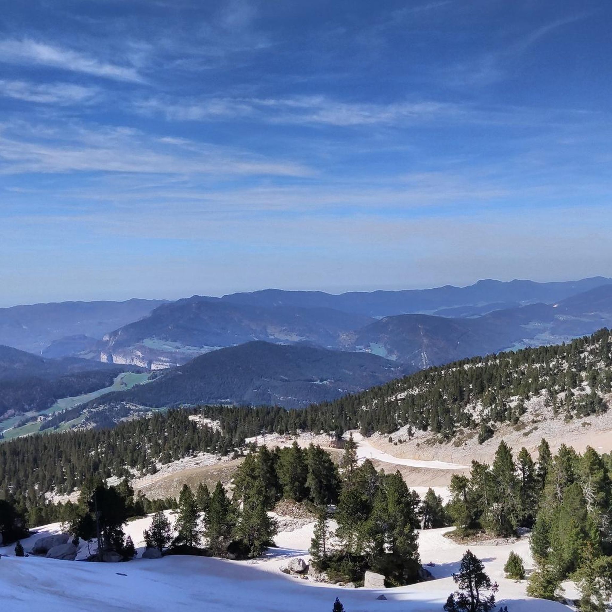
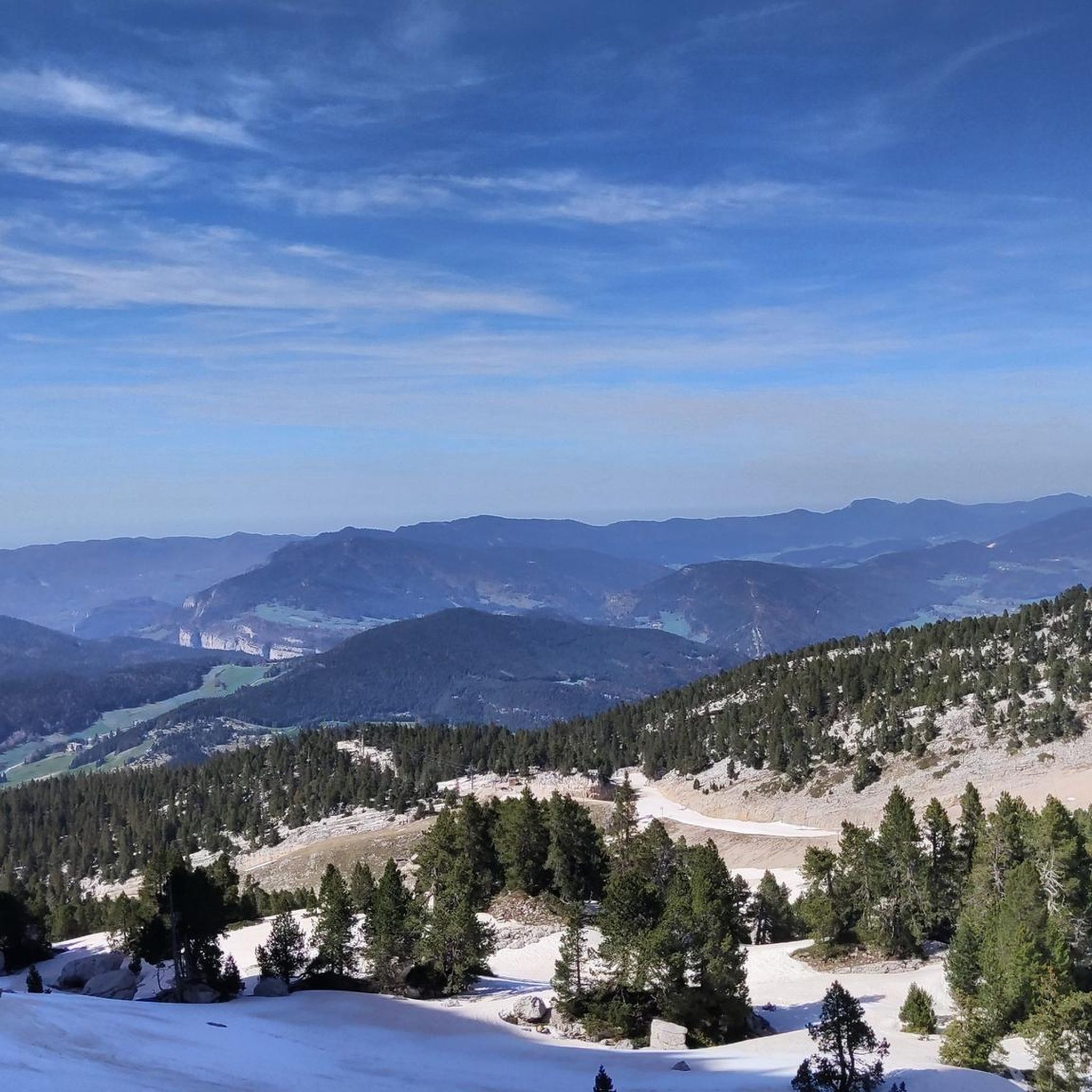
Hiking around Corrençon-En-Vercors offers diverse landscapes within the Vercors Regional Natural Park. The region features vast high-altitude plains, dramatic limestone cliffs, and deep gorges. Hikers can explore lush forests, expansive mountain pastures, and scenic ridges, providing a blend of serene natural beauty and challenging mountain terrain. The area is also characterized by numerous mountain passes and unique geological formations.
Best hiking trails around Corrençon-En-Vercors
- The most popular hiking route is Malaterre Shaft – Plaine d'Herbouilly loop from Corrençon-en-Vercors, an…
Last updated: September 1, 2026
3.9
(15)
126
hikers
Moderate hike. Good fitness required. Mostly accessible paths. Sure-footedness required.
4.8
(26)
291
hikers
Moderate hike. Good fitness required. Mostly accessible paths. Sure-footedness required.

Sign up for free
4.4
(8)
95
hikers
13.7km
05:39
910m
910m
Hard hike. Very good fitness required. Sure-footedness, sturdy shoes and alpine experience required.
4.8
(6)
44
hikers
15.1km
05:57
1,060m
1,060m
Hard hike. Very good fitness required. Sure-footedness, sturdy shoes and alpine experience required.
4.8
(5)
87
hikers
Hard hike. Very good fitness required. Mostly accessible paths. Sure-footedness required.
Get access to more routes and recommendations from other explorers.
Sign up for free
Already have an account?
Our route recommendations are based on thousands of hikes, rides, and runs completed by other people on komoot.
Start today with a free account
Your next adventure awaits.
Login or Signup
Popular around Corrençon-En-Vercors

Écrins, Belledonne and Vercors – HexaTrek, Hautes-Alpes
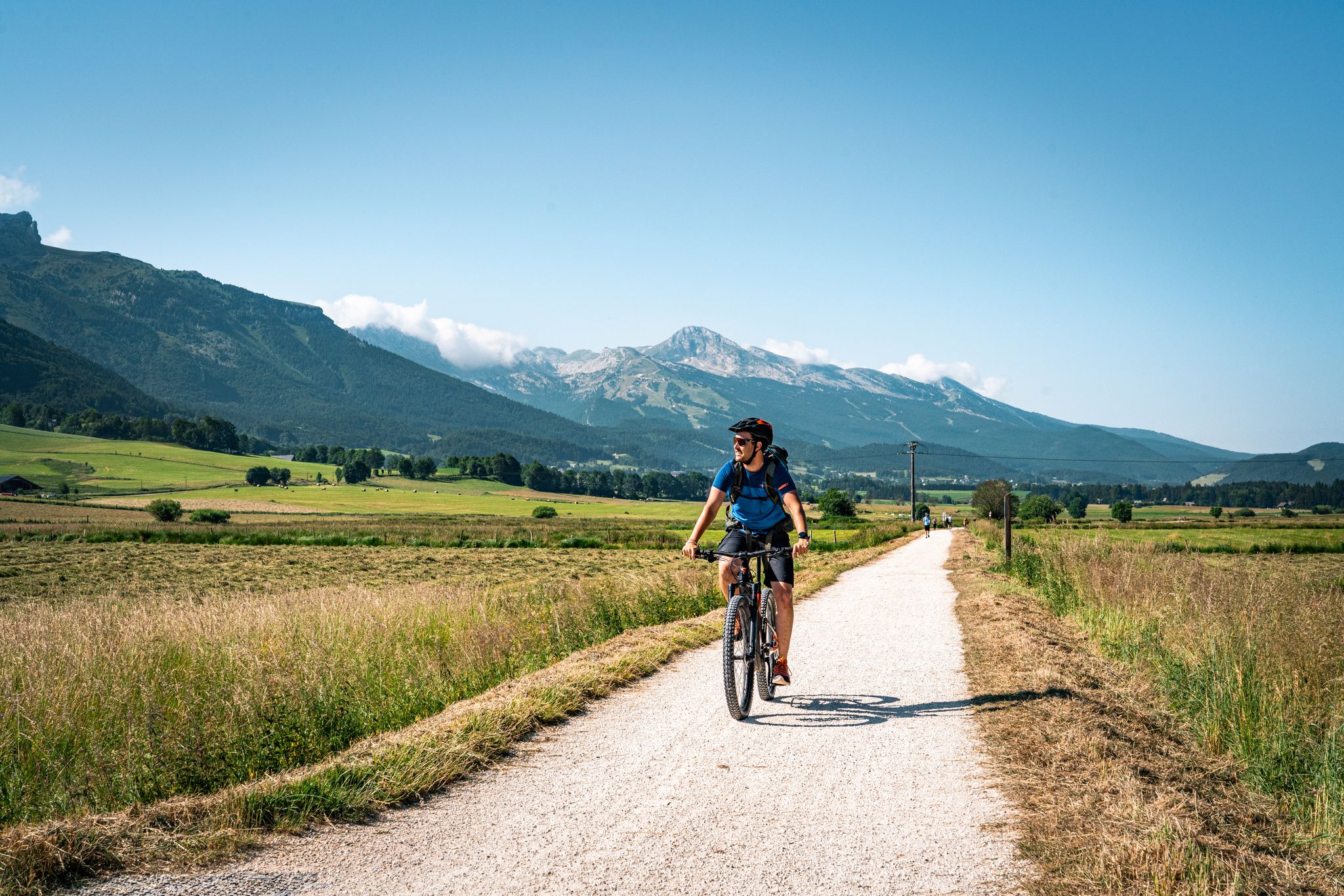
Vercors — the best gravel and mountain bike routes
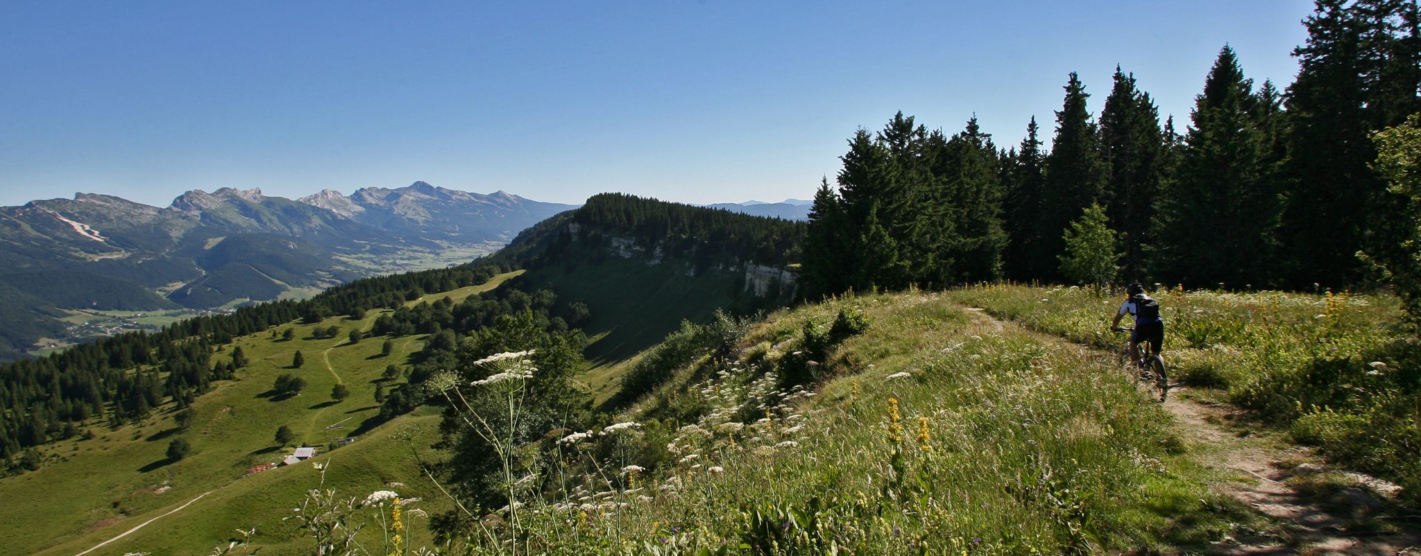
Legendary MTB routes in the bike paradise of Vercors Isère
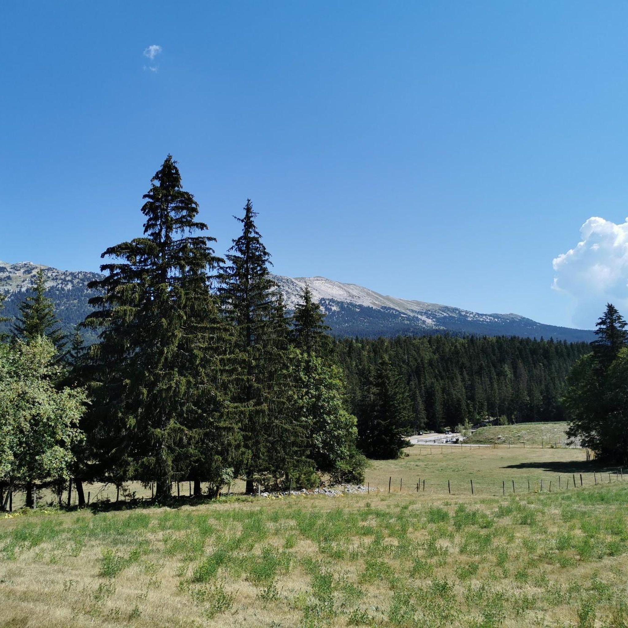
Running Trails around Corrençon-En-Vercors
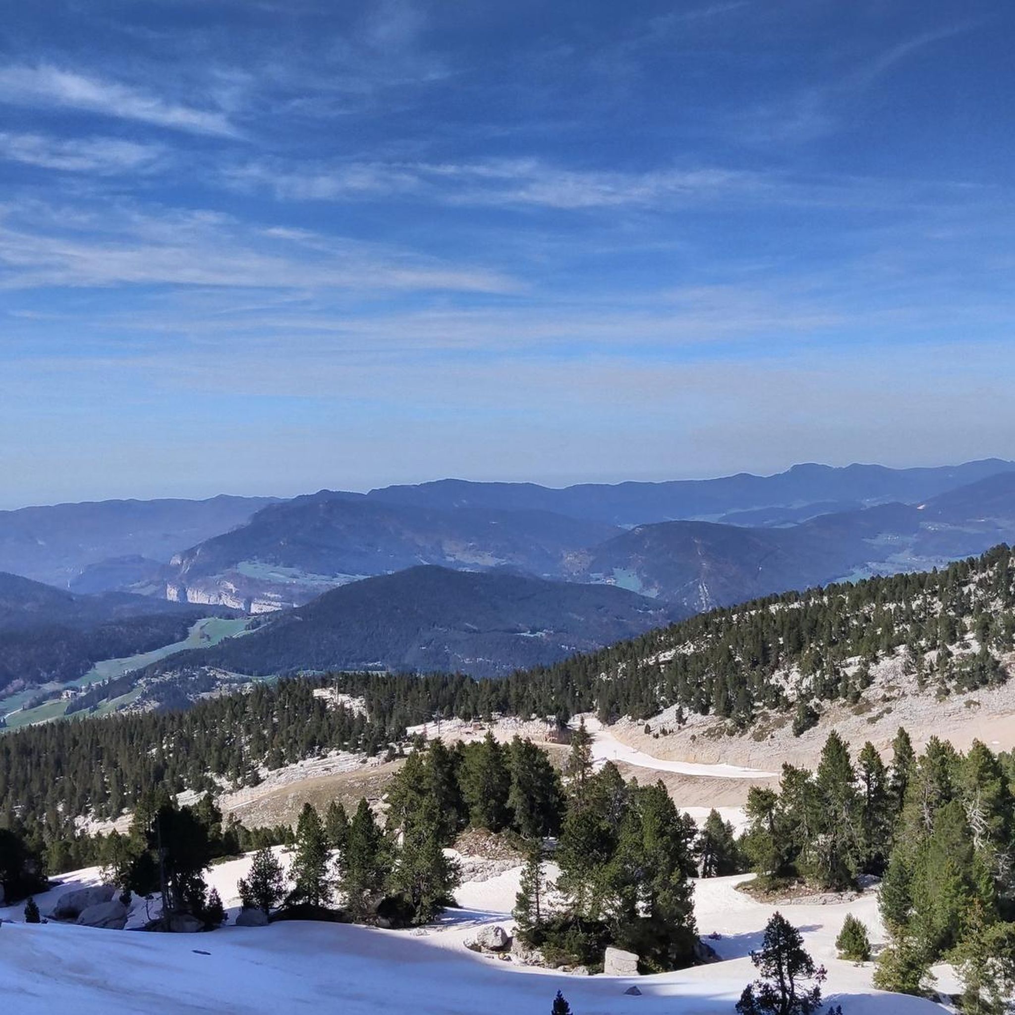
MTB Trails around Corrençon-En-Vercors
Road Cycling Routes around Corrençon-En-Vercors
Cycling around Corrençon-En-Vercors

Gravel biking around Corrençon-En-Vercors

Mountain Hikes around Corrençon-En-Vercors
Other adventures around Corrençon-En-Vercors


Tips from the Community

The Château Julien viewpoint offers a 360° panorama of the Gerbier ridge, the Grande Moucherolle and its smaller neighbor, all accompanied by a beautiful orientation table. But it also features an artistic work in slate called "Passage," which forms a kind of vortex that captures the energy of the mountains and returns it to the earth. The place will not leave you unmoved.
0
0

Lost in the middle of the mountains, this vast green expanse inspires tranquility. The landscape of the tree-covered mountains is magnificent, especially in autumn with a wide range of colors.
0
0

The ruins of the Herbouilly farm are a vestige of history. In June 1944, the farm served as a command post for Jean Prevost (Captain Goderville). On July 23, 1944, the Germans attacked Valchevrière. Jean Prévost and his men were forced to retreat, and the farm was destroyed by the Germans.
0
0

Panoramic view of the entire plateau
0
0
It's a high-altitude plain, cradled by forests. It's beautiful, it's fresh, and it smells good!
0
0
It is a vast high-altitude meadow, surrounded by forest. The altitude guarantees coolness in summer.
0
0

As I always say, you don't necessarily have to climb the most famous and most visited peaks (here, Moucherolle and Veymont) to have a sensational mountain experience. Great views across the entire range!
3
0

The Grande Moucherolle (2,284 meters) is the second highest peak in the Vercors massif. The Petite Moucherolle (2,156 meters), slightly further south, is separated from it by the Col des Moucherolles.
1
0
Frequently Asked Questions
How many hiking trails are available in Corrençon-en-Vercors?
Corrençon-en-Vercors offers a vast network of trails, with over 110 hiking routes available on komoot. These range from easy strolls to challenging multi-day treks, catering to all fitness levels within the Vercors Regional Natural Park.
What kind of landscapes can I expect to see while hiking in Corrençon-en-Vercors?
The region boasts incredibly diverse landscapes, including vast high-altitude plains, dramatic limestone cliffs, deep gorges, and lush forests. You'll also encounter expansive mountain pastures, scenic ridges, and picturesque passes, offering a rich tapestry of natural beauty.
Are there any easy, family-friendly hikes in Corrençon-en-Vercors?
Yes, there are many accessible options. For a shorter, moderate walk, consider the 45th Parallel North Monument – Le Clariant Restaurant loop. This 7.3 km path takes about 2 hours and 3 minutes, offering a pleasant way to explore the local area with family.
Where can I find panoramic views or notable viewpoints on a hike?
Corrençon-en-Vercors is rich in stunning viewpoints. You can hike to Saint-Michel Peak for panoramic vistas, or explore trails leading to the Arc Pass, Col Vert, or Col du Liorin, all known for their magnificent mountain views. Château Julien also offers breathtaking 360° panoramas.
Are there any circular hiking routes available?
Many routes in the area are circular, allowing you to start and end in the same location. An example is the moderate Malaterre Shaft – Plaine d'Herbouilly loop, which covers 13.8 km and takes approximately 4 hours and 24 minutes, leading through tranquil plains.
What is the best time of year to go hiking in Corrençon-en-Vercors?
The Vercors region is beautiful year-round, but the best time for hiking generally spans from late spring to early autumn (May to October) when trails are clear of snow and the weather is most favorable. Summer offers warm conditions, while spring and autumn provide vibrant colors and fewer crowds.
What do other hikers enjoy most about the trails in Corrençon-en-Vercors?
The trails in Corrençon-en-Vercors are highly rated by the komoot community, with an average score of 4.5 stars from over 480 reviews. Hikers often praise the diverse terrain, from high-altitude plains to dense forests, and the rewarding panoramic views from various peaks and passes.
Are there any challenging hikes for experienced trekkers?
Absolutely. For experienced hikers seeking a challenge, the Tête des Chaudières – Balme Pass loop is a difficult 13.7 km trail with significant elevation gain, typically taking around 5 hours and 39 minutes. The Traversée du Vercors also offers a classic long-distance, multi-day experience through the wild heart of the Natural Reserve.
Can I see any unique natural features or geological curiosities?
Yes, the region is known for its unique geological formations. You can explore areas around the Grotte de la Glacière for interesting geological curiosities. The Vercors also features dramatic limestone cliffs and deep chasms, characteristic of its mountainous terrain.
What are some of the natural attractions or landmarks I might encounter?
Beyond the stunning landscapes, you might encounter the tranquil Plaine d'Herbouilly, known for wildlife observation, or the historic ruins of the Herbouilly farm. The region also features significant peaks like the Grande and Petite Moucherolle, and various mountain passes such as the Pas de l'Oeille, where marmots and ibexes can sometimes be spotted.
Is there a hike that explores the area around the Moucherolle peaks?
Yes, you can explore the vicinity of the Moucherolle peaks. The Little Moucherolle loop from Corrençon-en-Vercors is a moderate 11.1 km hike that takes approximately 4 hours and 27 minutes, offering views of this prominent part of the Vercors massif.
Most popular routes around Corrençon-En-Vercors
Most popular attractions around Corrençon-En-Vercors

Get inspired with the komoot mobile app


Explore more
Browse the best Hikes in other regions.
