The best MTB trails around Wimereux
4.6
(77)
508
riders
36
rides
Mountain biking around Wimereux offers a diverse landscape for riders. The region is characterized by its coastal proximity, featuring routes that traverse along the English Channel and through areas like the Slack Estuary. Inland, riders encounter gentle hills such as Mont de Couple, providing varied elevation changes. The terrain often includes a mix of open coastal paths and more sheltered sections, suitable for different riding preferences.
Best mountain bike trails around Wimereux
- The most popular mountain bike trail is Fort…
Last updated: July 10, 2026
4.6
(29)
104
riders
39.7km
02:31
380m
380m
Moderate mountain bike ride. Good fitness required. Suitable for all skill levels.
4.5
(6)
65
riders
50.4km
03:46
580m
580m
Moderate mountain bike ride. Good fitness required. Suitable for all skill levels.

Sign up for free
4.3
(4)
41
riders
55.1km
03:43
560m
560m
Moderate mountain bike ride. Good fitness required. Advanced riding skills necessary.
14
riders
67.2km
04:48
760m
760m
Moderate mountain bike ride. Good fitness required. Advanced riding skills necessary.
4.5
(2)
25
riders
49.2km
03:14
540m
540m
Moderate mountain bike ride. Good fitness required. Suitable for all skill levels.
Get access to more routes and recommendations from other explorers.
Sign up for free
Already have an account?
Our route recommendations are based on thousands of hikes, rides, and runs completed by other people on komoot.
Start today with a free account
Your next adventure awaits.
Login or Signup
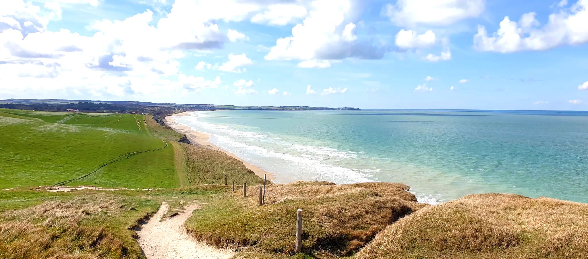
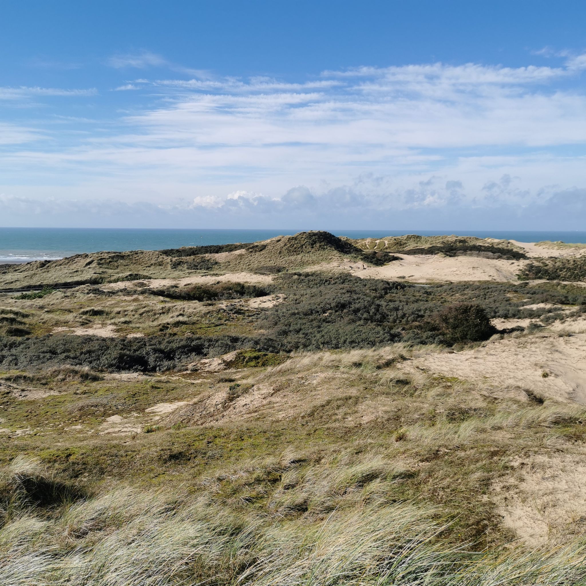
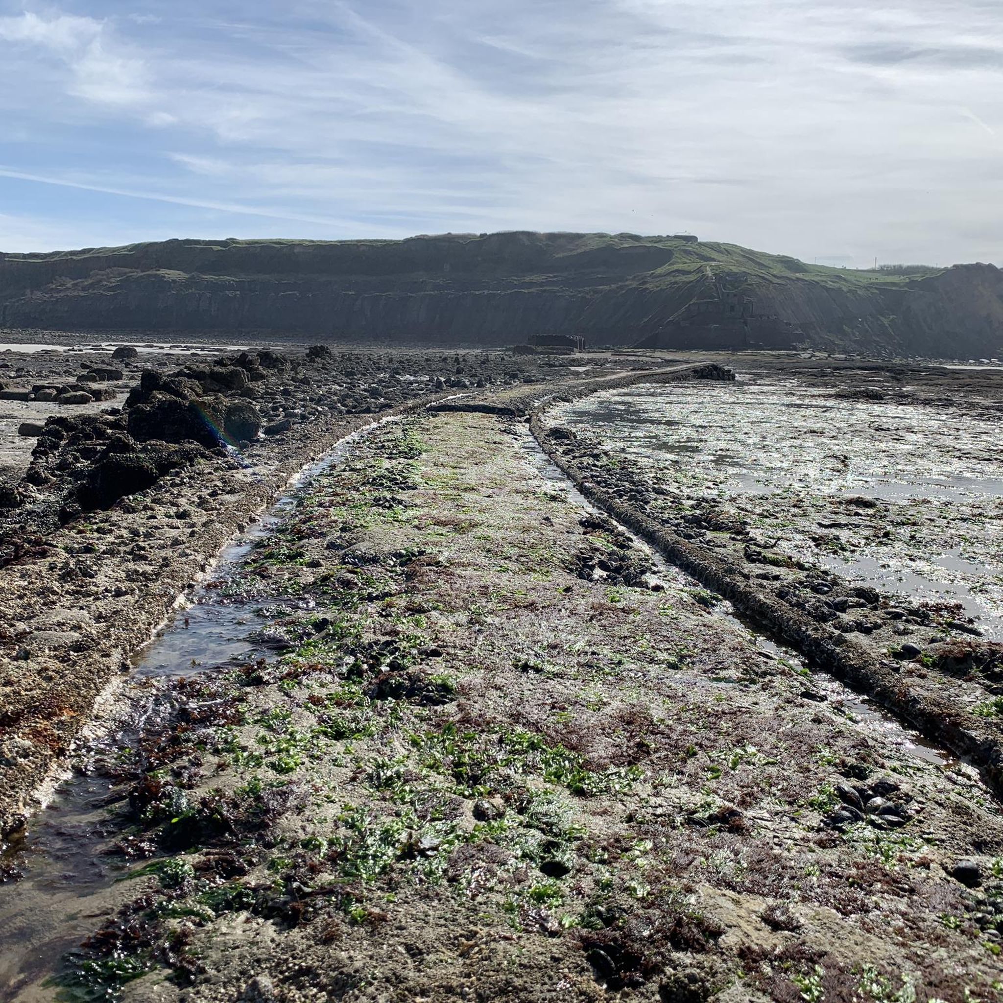



Tips from the Community

Very beautiful town with beautiful houses and a wonderful beach
0
0

Very beautiful viewpoint, well worth seeing.
0
0

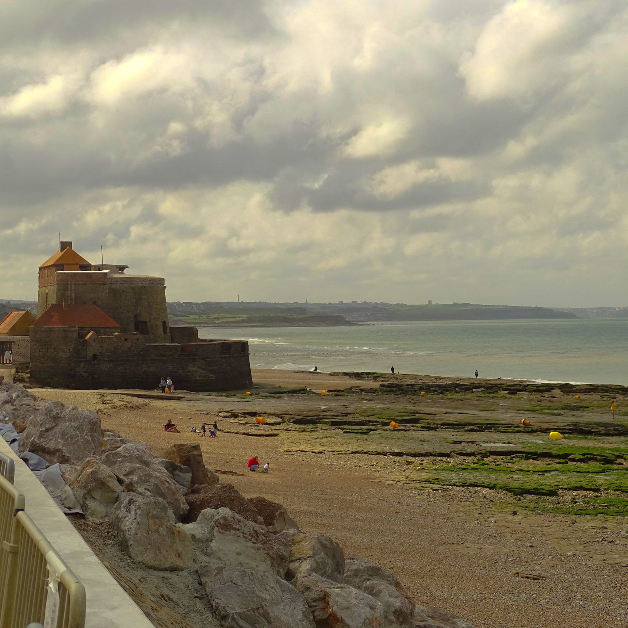
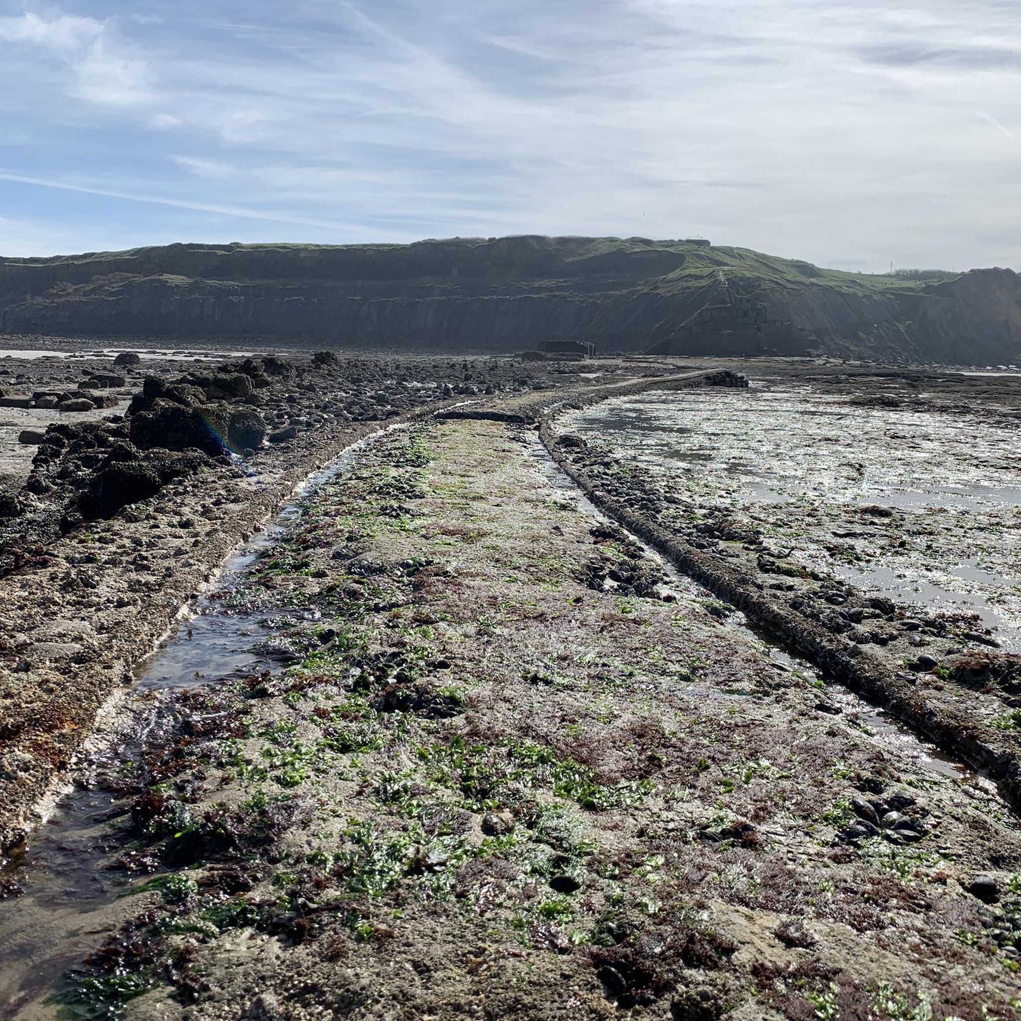
beautiful walk with departure and arrival at the fort of Ambleteuse. At low tide you can wade through the river at the height of the fort.
1
0

Mont de Couple is a small hill 163 meters above sea level. Its summit offers an exceptional view of the hinterland and the town of Wissant. In good weather, you can see the Strait of Dover, the White Cliffs of England, the Boulogne hinterland, and the Calais region.
1
0

Market day in Wissant. Fresh vegetables, fish, meat, and cheese. Worth a visit!
0
0


Bazinghen is a charming hamlet marked by the bocage landscape of Boulonnais. It is crossed by small country roads perfect for outings without too much traffic.
0
0
Frequently Asked Questions
How many mountain bike trails are available around Wimereux?
There are over 25 mountain bike trails around Wimereux, offering a variety of experiences for different skill levels. The komoot community has explored these routes over 500 times.
Are there easy mountain bike trails suitable for beginners in Wimereux?
Yes, Wimereux offers several easy mountain bike trails. For instance, the Fort d'Ambleteuse – Fort d'Ambleteuse loop from Wimereux is an easy 16.8-mile (27.1 km) trail that takes about 1 hour 40 minutes to complete, offering scenic views of the historic fort. Another easy option is the Fort d'Ambleteuse – View over Wimereux loop from Wimille – Wimereux, which is 10 miles (16.18 km) long.
What are some challenging mountain bike routes near Wimereux for advanced riders?
While the majority of trails are easy to moderate, routes like the Descent from Mont de Couple – Mount de Couple loop from Wimille – Wimereux offer a more demanding experience. This moderate 30.9-mile (49.8 km) path includes significant elevation gain, exploring the area around Mont de Couple, which can be challenging for some riders.
Are there circular mountain bike routes in Wimereux?
Yes, many of the mountain bike trails around Wimereux are circular, allowing you to start and end at the same point. Examples include the Fort d'Ambleteuse – Fort d'Ambleteuse loop from Wimereux and the Fort d'Ambleteuse – Geese Point loop from Wimille – Wimereux.
What kind of terrain can I expect on mountain bike trails in Wimereux?
The terrain around Wimereux is diverse, characterized by its coastal proximity. You'll find routes traversing along the English Channel, through areas like the Slack Estuary, and inland over gentle hills such as Mont de Couple. Expect a mix of open coastal paths and more sheltered sections, offering varied elevation changes.
What is the best time of year for mountain biking in Wimereux?
The spring and autumn months generally offer pleasant conditions for mountain biking in Wimereux, with milder temperatures and fewer crowds. Summer can be popular, especially along the coast, but can also be warmer. Winter riding is possible, but trails might be muddier, especially after rain.
What interesting landmarks or natural sights can I see along the mountain bike trails?
Many trails offer views of significant landmarks and natural features. You might pass by the historic Fort d'Ambleteuse, explore the Dunes of the Slack, or enjoy coastal vistas from Cap Gris-Nez Viewpoint. The region's coastal cliffs and estuaries provide dramatic scenery.
Are there any family-friendly mountain bike trails in Wimereux?
For families looking for an easier ride, the numerous easy-grade trails are a good option. These routes typically have less elevation gain and cover shorter distances, making them suitable for riders of varying ages and abilities. Always check the specific trail details for distance and elevation to ensure it matches your family's comfort level.
What do other mountain bikers say about the trails in Wimereux?
The mountain bike trails in Wimereux are highly rated by the komoot community, with an average score of 4.6 stars from over 100 reviews. Riders often praise the diverse coastal and inland scenery, the well-maintained paths, and the variety of routes available for different skill levels.
How long do mountain bike trails typically take to complete in Wimereux?
Trail durations vary significantly based on length and difficulty. Easy trails, such as the 10-mile Fort d'Ambleteuse – View over Wimereux loop, can take around 1 hour. Longer, moderate routes like the Fort d'Ambleteuse – Geese Point loop, which is 34.4 miles (55.3 km), might take closer to 3 hours 51 minutes.
Can I find mountain bike routes that explore the Slack Estuary?
Yes, the Slack Estuary is a notable feature in the region, and you can find mountain bike routes that traverse this area. The Slack Estuary – Fort d'Ambleteuse loop from Wimille – Wimereux is a moderate 28.4-mile (45.77 km) trail that allows you to explore this unique coastal environment.
Most popular attractions around Wimereux

Get inspired with the komoot mobile app


Explore more
Browse the best MTB trails in other regions.
