The 10 Most Amazing Peaks around Varces-Allières-Et-Risset
Mountain peaks around Varces-Allières-Et-Risset offer access to a range of notable summits within the Vercors and Belledonne massifs. This region is characterized by diverse landscapes, from forests and alpine pastures to distinctive geological formations. The area provides opportunities for exploring high-altitude terrain and experiencing panoramic views.
Best mountain peaks around Varces-Allières-Et-Risset
- The most popular mountain peaks is Saint-Michel Peak, a trail and summit offering magnificent panoramic views of the Vercors. This peak provides a significant but manageable challenge, with…
Last updated: July 7, 2026
The Moucherotte Summit
Highlight • Summit
Translated by Google •
Tip by

Saint-Michel Peak
Highlight • Trail
Translated by Google •
Tip by

Sign up now to discover places like this
Get recommendations on the best single tracks, peaks, & plenty of other exciting outdoor places.
Sign up for free
Charande Summit
Highlight • Summit
From up there, you'll enjoy a breathtaking view of the Molière alpine pasture.
Translated by Google •
Tip by

Four Lords Pass
Highlight • Mountain Pass
Tip by

La Grande Moucherolle
Highlight • Summit
Translated by Google •
Tip by

Sign up for free to discover even more peaks around Varces-Allières-Et-Risset.
Sign up for free
Already have an account?
Start today with a free account
Your next adventure awaits.
Login or Signup
Popular around Varces-Allières-Et-Risset
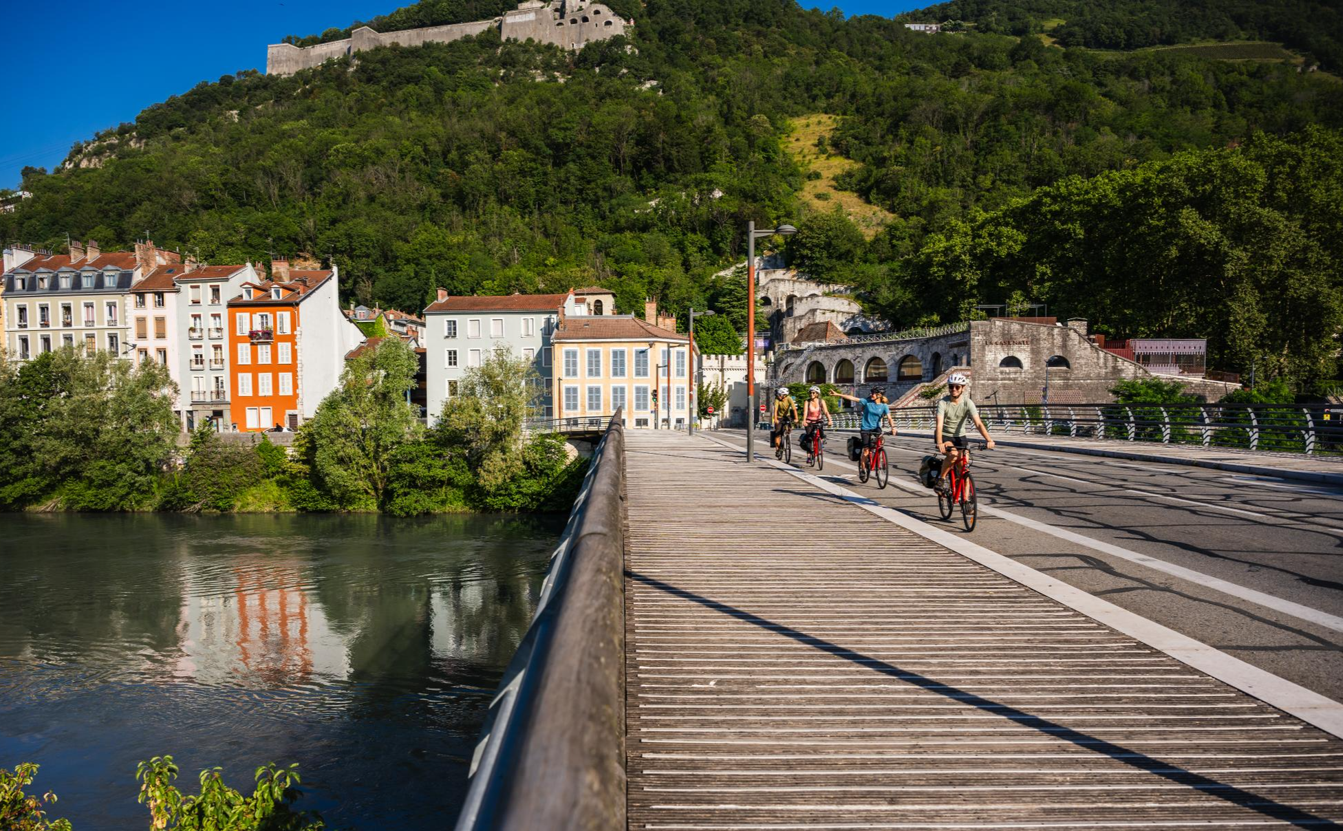
Cycling and views in Grenoble Alpes
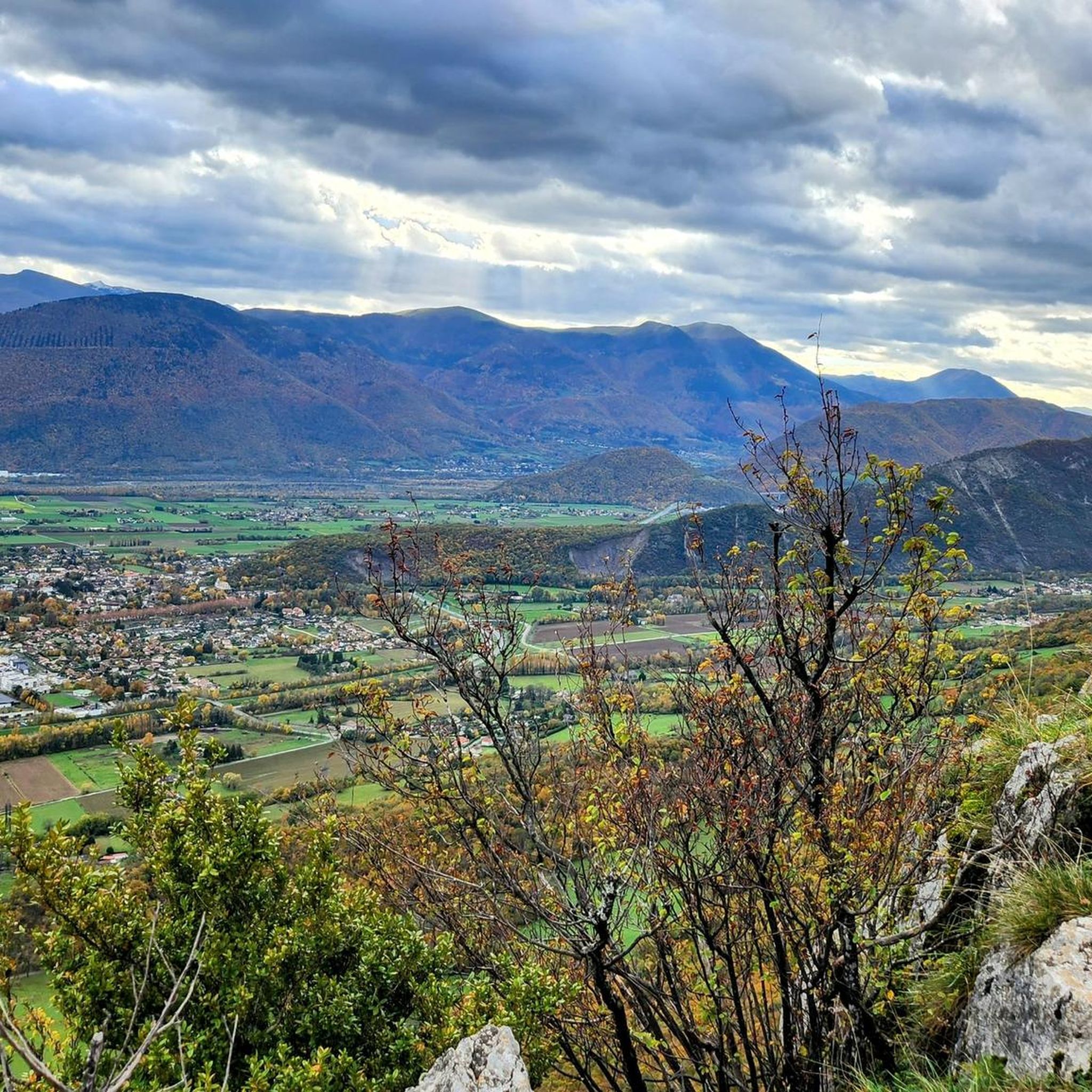
Road Cycling Routes around Varces-Allières-Et-Risset
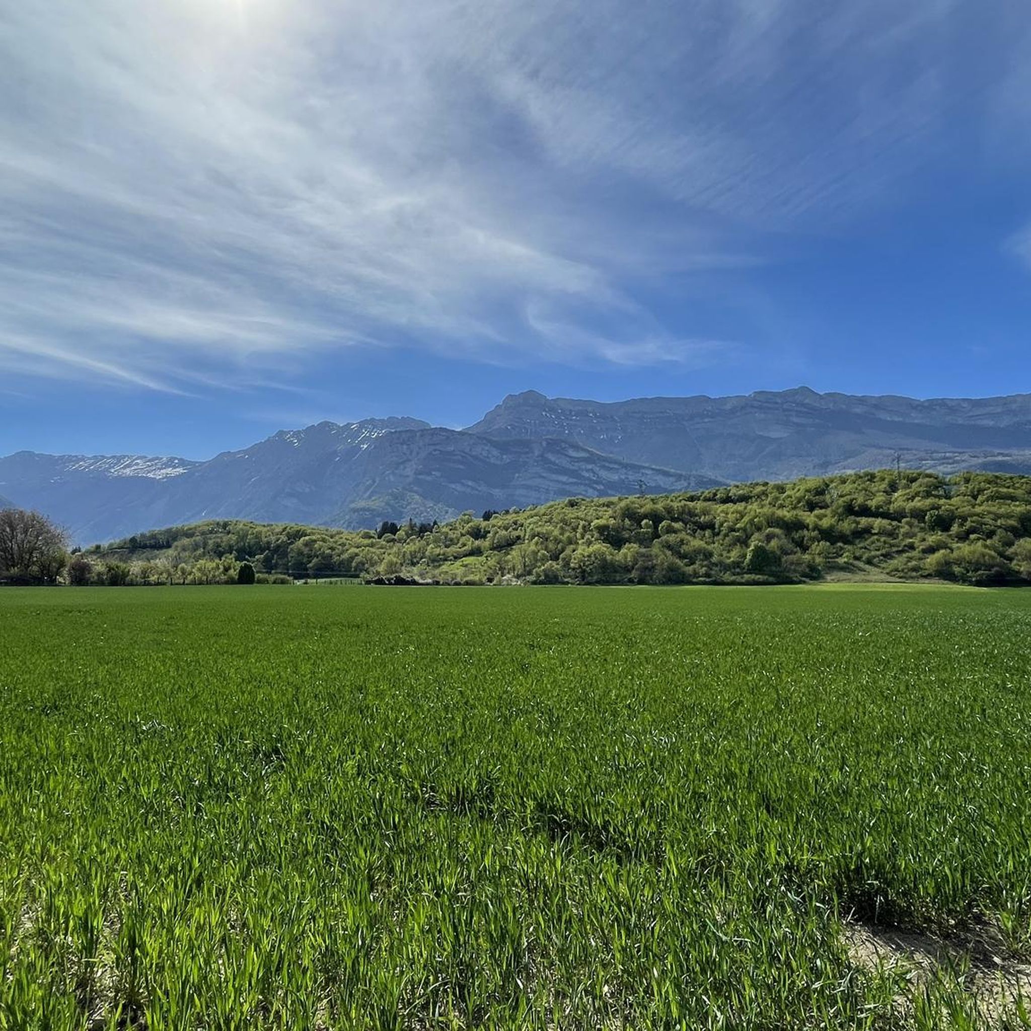
Running Trails around Varces-Allières-Et-Risset
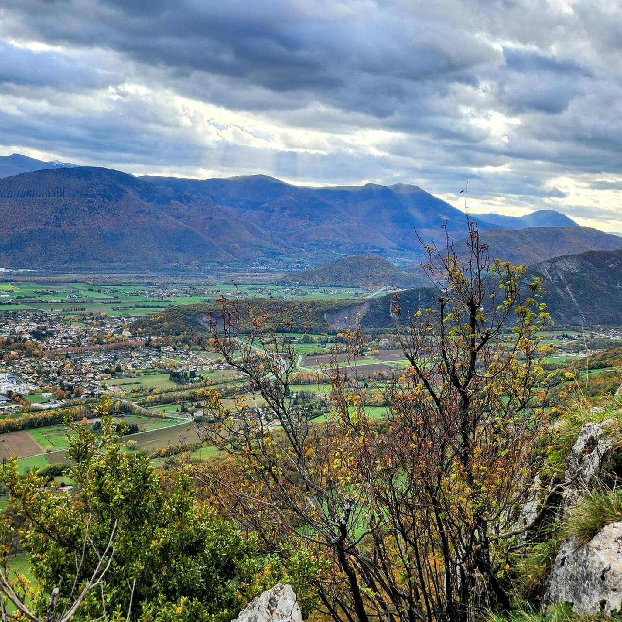
Cycling around Varces-Allières-Et-Risset
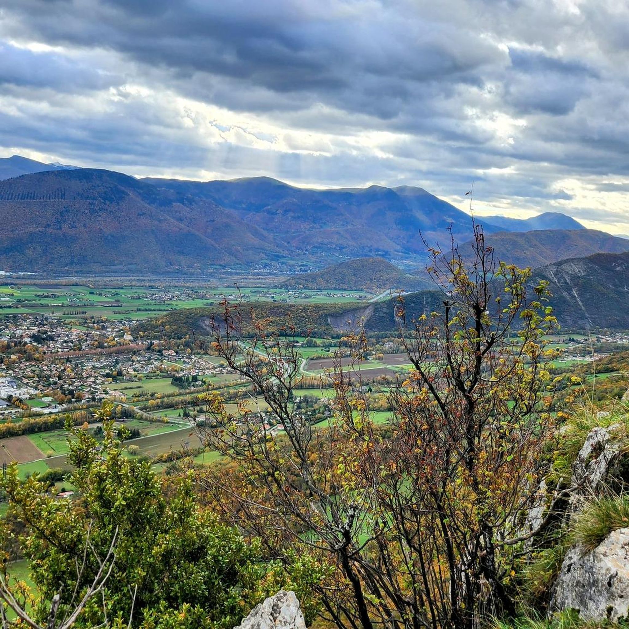
MTB Trails around Varces-Allières-Et-Risset
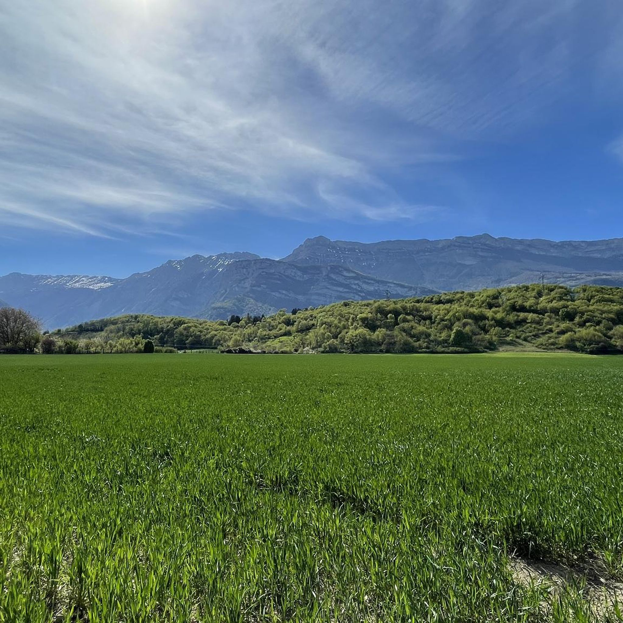
Hiking around Varces-Allières-Et-Risset
Gravel biking around Varces-Allières-Et-Risset
Mountain Hikes around Varces-Allières-Et-Risset
Other adventures around Varces-Allières-Et-Risset

Tips from the Community

nice climb up to the intersection...then the road going to the fort is cleaner depending on the day (twigs, bread needles...)
0
0

This hike offers superb panoramas and the arrival at Pic Saint-Michel, if you go clockwise, reveals a breathtaking view of the valley.
0
1

Very pleasant pass, because almost no cars, lots of shade and fantastic landscapes 9 km long and 680 m vertical drop
0
0

Great viewpoint, and great path on the ridges.
0
0

Second highest peak in the Vercors - and as usual with "second summits" 😆 harder to climb than the Grand Veymont. But, as I did on my tour, it can be crossed from both sides, T4+ to T5 (according to the SAC scale) or climbing sections 1+. I recommend going from northeast to south. More in my tour and in the second waypoint listed here, these are often marked multiple times on Komoot...
1
1
Second highest peak in the Vercors - and as is usual with "second summits" 😆 harder to climb than the Grand Veymont. But it is also possible to cross it here, from both sides T4+ to T5 (according to the SAC scale) or climbing sections 1+. But it is easier at the top than it looks from the northeast, from Lac de Moucherolle. If you have enough time, you can also cross the Petite Moucherolle in another intermediate climb.
0
1

Excellent hike with views of the Belledonne mountains and, if the weather is good, Mont Blanc. The climb to the Moucherotte is not particularly demanding, but the hike is very scenic and the view from the summit is a highlight. On the way down, you can take a detour over the dilapidated ski jump from the 1968 Olympics.
2
0

Located near Grenoble, Pic Saint-Michel is a 1,966 meter peak in the Vercors massif, renowned for its accessible trails and panoramic views. This site attracts outdoor enthusiasts with its well-maintained trails and rich biodiversity. Offering an exceptional panorama of the Isère valley, it represents a privileged destination for a nature getaway for all levels of sporting activity.
1
1
Frequently Asked Questions
Which mountain peaks are most notable around Varces-Allières-Et-Risset?
The region offers access to remarkable peaks in the Vercors and Belledonne massifs. In the Vercors, notable peaks include Saint-Michel Peak, known for its panoramic views, and The Moucherotte Summit, offering a vast panorama of the Isère valley. Other significant Vercors peaks are Les Deux Sœurs, Grand Veymont (the highest point of the massif), and the iconic Mont Aiguille. To the east, the Belledonne massif features the majestic Grand Pic de Belledonne.
What kind of views can I expect from the mountain peaks?
Many peaks offer breathtaking panoramas. From Saint-Michel Peak, you can see the Grenoble valley and a large part of the Alps, including the Belledonne and Chartreuse massifs, and even Mont Blanc on clear days. The Moucherotte Summit provides extensive views of the Isère valley, Grenoble, and the Alps. Grand Veymont offers a magnificent 360-degree panorama of the Gresse Valley and the Vercors plateau.
Are there any beginner-friendly mountain peaks or trails suitable for families?
Yes, Saint-Michel Peak offers routes that can be tailored for varying difficulty, including a relatively easy loop hike with less than 700m of elevation gain over 8.7km, which is suitable for children around 7 years old who are accustomed to walking.
What are the typical difficulty levels for mountain hikes in the area?
The mountain peaks around Varces-Allières-Et-Risset offer a range of difficulty levels. Peaks like Saint-Michel Peak and The Moucherotte Summit are generally considered intermediate. More challenging routes include the traverse between Les Deux Sœurs and the ascent to Grand Veymont, which is a significant 19-kilometer hike with a 1,037-meter ascent.
How long do typical mountain hikes around Varces-Allières-Et-Risset take?
Hike durations vary depending on the peak and route. A relatively easy loop hike for Saint-Michel Peak is about 8.7km. The full circuit around Mont Aiguille is 17.4 km. The demanding ascent to Grand Veymont involves a 19-kilometer hike.
What kind of natural features and wildlife can I encounter on these peaks?
The terrain includes forests, alpine pastures, and distinctive lapiaz formations. The Hauts-Plateaux Nature Reserve, where Grand Veymont is located, is known for its rich flora and fauna. Hikers might encounter ibex and marmots, especially in less frequented areas like Les Deux Sœurs and Grand Veymont. The Belledonne massif is characterized by sharp ridges, sparkling glacial lakes, and deep forests.
Are there any places to eat or rest near the mountain trails?
Yes, the hike to Saint-Michel Peak often passes by the Auberge des Allières, an old sheepfold, which can serve as a stop. For Summit Vertigo, there is a table and benches, as well as a barbecue, perfect for a picnic.
What do visitors enjoy most about the mountain peaks in this region?
Visitors frequently praise the magnificent panoramic views, especially from Saint-Michel Peak and The Moucherotte Summit. The feeling of absolute fullness at the summit and the opportunity to observe wildlife like ibex and marmots are also highly valued. The unique geological formations, such as Mont Aiguille's limestone needle shape, also draw appreciation.
What other outdoor activities can I do near these mountain peaks?
Beyond hiking, the region offers a variety of outdoor activities. You can explore road cycling routes like the 'Around Lake Monteynard' or 'Alpe d'Huez Climb' from the nearby Road Cycling Routes around Varces-Allières-Et-Risset guide. For more relaxed cycling, check out routes like 'Rochefort footbridge – Banks of the Drac loop' in the Cycling around Varces-Allières-Et-Risset guide. Gravel biking is also popular, with routes such as 'Col d'Herbouilly – Valchevrière Viewpoint loop' available in the Gravel biking around Varces-Allières-Et-Risset guide. The Belledonne massif is also excellent for trail running, mountain biking, skiing, and mountaineering.
Are there any unique geological formations to see?
Yes, the Vercors massif is known for its distinctive geological features. Mont Aiguille is an iconic peak recognized for its unique limestone needle shape. The terrain around Pic Saint-Michel also includes distinctive lapiaz formations. Les Deux Sœurs is a distinctive bifid (two-part) summit with high cliffs, and the 'Rocher des Jeux' nearby offers a unique Dolomite-like ambiance.
Which peaks offer the most challenging hikes?
For a significant challenge, consider the Grand Veymont, the highest point of the Vercors massif, which involves a 19-kilometer hike with over 1,000 meters of ascent. The traverse between Les Deux Sœurs and the Pas de l'Oeille also offers spectacular and adventurous routes with challenging terrain.
Can I find any historical or cultural points of interest near the peaks?
While the focus is on natural beauty, the hike to Saint-Michel Peak passes by the Auberge des Allières, an old sheepfold, offering a glimpse into the region's pastoral history. The area around Mont Aiguille also allows for the discovery of architectural treasures of Trièves.
Most popular routes around Varces-Allières-Et-Risset
Most popular attractions around Varces-Allières-Et-Risset

Get inspired with the komoot mobile app


Explore more
See even more amazing summits around Varces-Allières-Et-Risset with these guides:
