The best walks and hikes around Miribel-Lanchâtre
4.5
(1432)
12,855
hikers
347
hikes
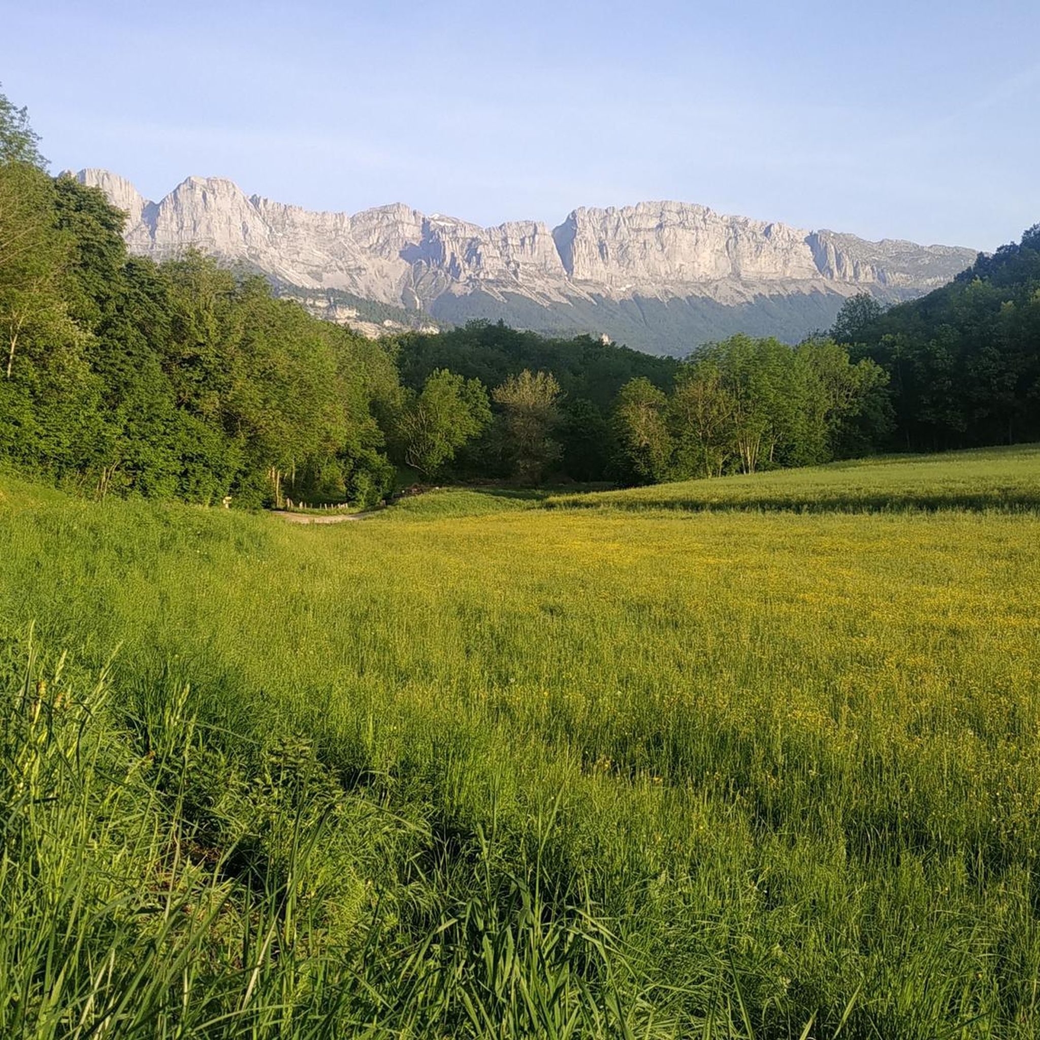
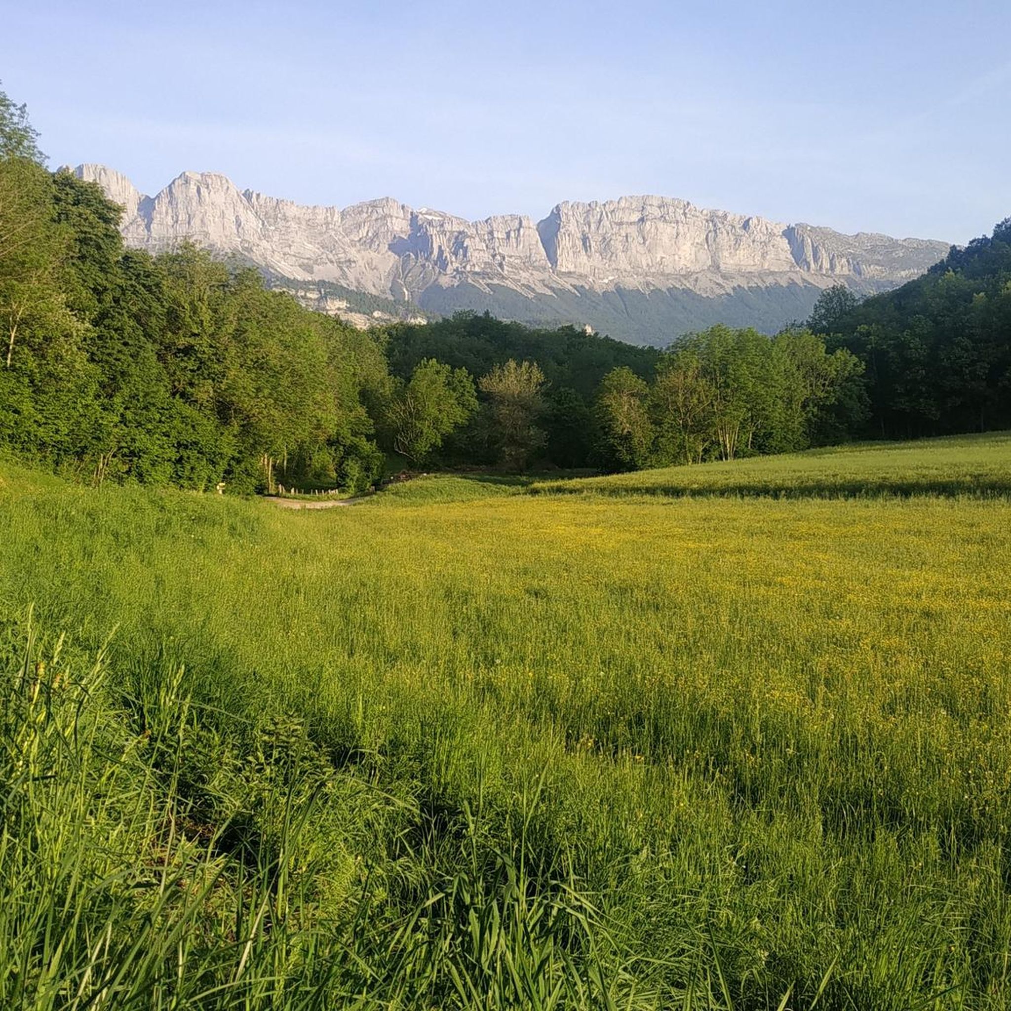
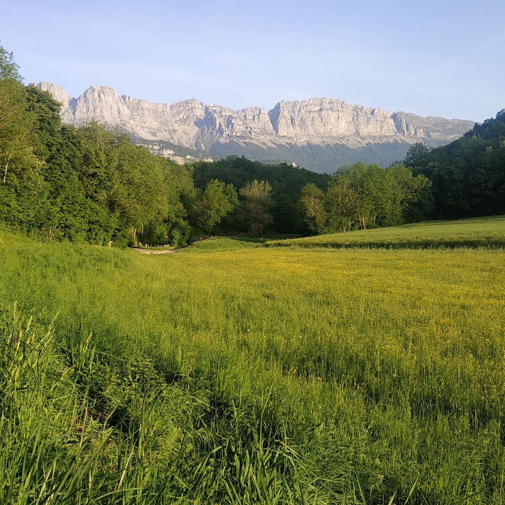
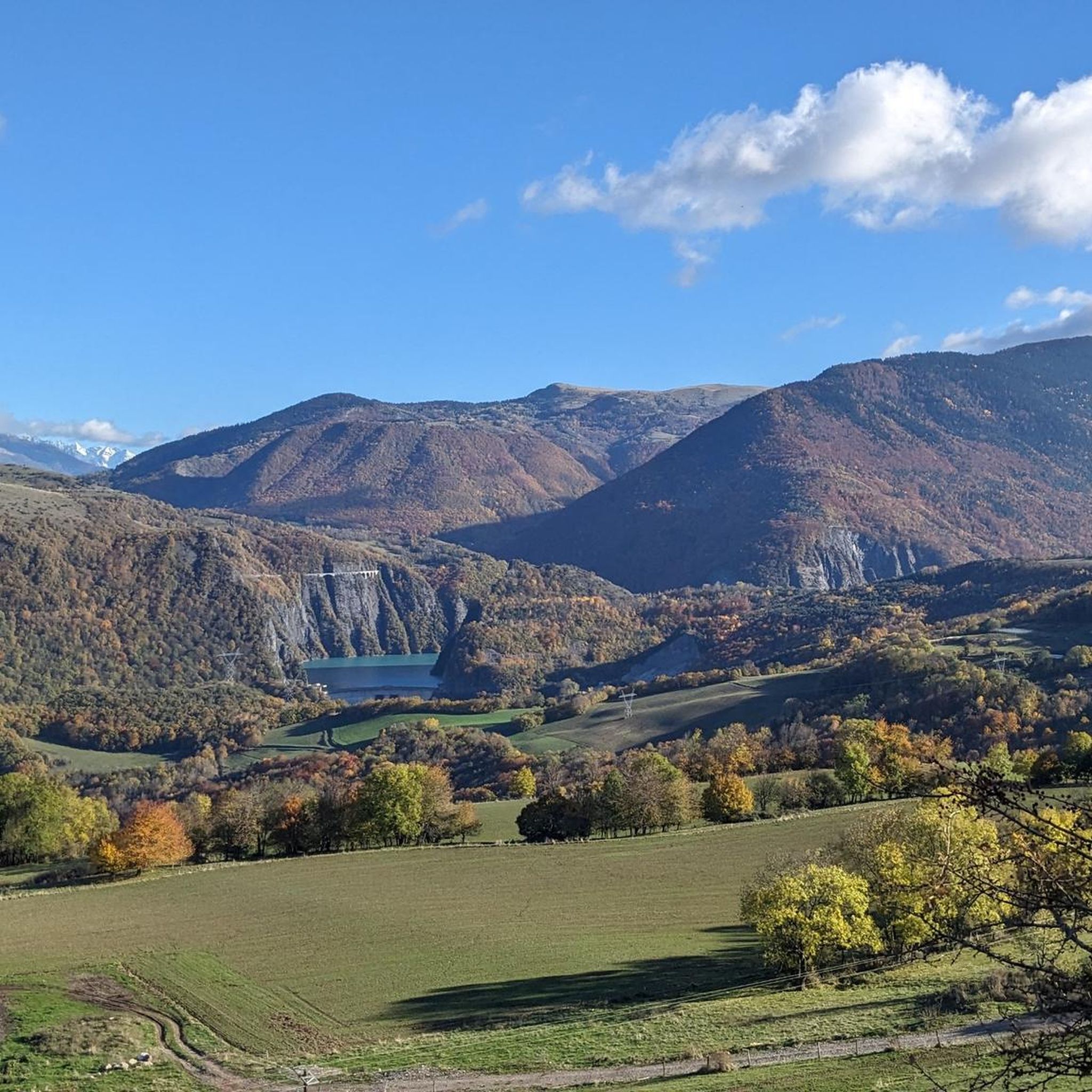
Hiking around Miribel-Lanchâtre offers access to the Vercors Regional Natural Park, characterized by varied topography ranging from 423 to 1,509 meters in elevation. The region features a mix of forests, prairies, and agricultural land, providing diverse terrain for exploration. Situated at the southern end of the Gresse valley, the area also offers views over the Trièves landscape and the impressive Obiou massif. This setting provides a network of trails for different hiking experiences.
Best hiking trails around Miribel-Lanchâtre
- The most…
Last updated: July 1, 2026
4.8
(12)
73
hikers
11.7km
04:15
550m
550m
Moderate hike. Good fitness required. Mostly accessible paths. Sure-footedness required.
5.0
(3)
36
hikers
5.32km
02:24
430m
430m
Moderate hike. Good fitness required. Mostly accessible paths. Sure-footedness required.

Sign up for free
5.0
(2)
27
hikers
12.1km
05:34
840m
840m
Hard hike. Very good fitness required. Sure-footedness, sturdy shoes and alpine experience required.
4.0
(2)
21
hikers
18.5km
08:38
1,320m
1,320m
Hard hike. Very good fitness required. Sure-footedness, sturdy shoes and alpine experience required.
4.0
(2)
19
hikers
9.97km
04:22
710m
710m
Moderate hike. Good fitness required. Mostly accessible paths. Sure-footedness required.
Get access to more routes and recommendations from other explorers.
Sign up for free
Already have an account?
Our route recommendations are based on thousands of hikes, rides, and runs completed by other people on komoot.
Start today with a free account
Your next adventure awaits.
Login or Signup


Tips from the Community


Great loop. Vultures and ibex guaranteed. Be careful, the Col des Soeurs is increasingly degraded (crumbling, rockfalls, etc.). The passage between the two Moucherolles is a bit exposed. Be sure-footed, do without children.
0
0

Small pass without too many passages and with tracks on each side for gravel riders 😁
0
0

A magnificent view of the East Balcony of the Vercors ✨🏔️✨
0
0
Very beautiful site for bivouac. But a few unserious people who swim and light fires even though it’s forbidden
0
0

The view of the lake is best from here. Continuing the climb to the Grande Moucherolle.
1
0

Located at an altitude of 1,500 meters at the Col de l'Arzelier, the Soldanelle refuge was built in 1968. Its terrace offers a breathtaking view of the valley. You can sleep there in both a dormitory and a yurt. The refuge is not manned all year round. All the information here: https://www.lasoldanelle.com/refuge/.
2
2

Frequently Asked Questions
How many hiking trails are available around Miribel-Lanchâtre?
Miribel-Lanchâtre offers a wide selection of hiking opportunities, with over 350 trails. These include 72 easy routes, 202 moderate paths, and 79 challenging hikes, catering to various skill levels within the Vercors Regional Natural Park.
What kind of terrain can I expect on hikes in Miribel-Lanchâtre?
The terrain around Miribel-Lanchâtre is diverse, ranging from 423 to 1,509 meters in elevation. You'll find a mix of forests, open prairies, and agricultural land, with trails traversing the Vercors massif, the Trièves landscape, and the Gresse valley. Expect varied topography, from gentle slopes to significant ascents, offering stunning views.
Are there any easy or beginner-friendly hikes in the area?
Yes, Miribel-Lanchâtre has 72 easy hiking routes suitable for beginners or those looking for a relaxed stroll. These trails often provide a gentle introduction to the region's natural beauty without demanding significant physical exertion. For example, the area around Col de l'Arzelier offers accessible paths.
What do other hikers say about the trails in Miribel-Lanchâtre?
The hiking trails in Miribel-Lanchâtre are highly regarded by the komoot community, holding an average rating of 4.5 stars from over 1400 reviews. Hikers often praise the stunning panoramic views of the Vercors, Dévoluy, and Trièves regions, as well as the diverse landscapes and well-maintained paths.
Are there any circular hiking routes around Miribel-Lanchâtre?
Yes, many routes in the area are circular, allowing you to start and end at the same point. An example is the Pré Achard – Col de l'Arzelier loop from Le Col de l'Arzelier, a moderate 10.6 km trail, or the Crête de la Ferrière loop from Miribel-Lanchâtre, which offers extensive views.
What natural features or landmarks can I see while hiking?
Hikers can enjoy magnificent panoramas of the Vercors, Dévoluy, and Trièves regions. Notable features include the impressive Obiou massif, the tranquil Gresse river, and various mountain passes such as Col de l'Arzelier and Col Vert. You might also encounter beautiful lakes like La Moucherolle Lake.
Are there any hikes that offer views of lakes?
Absolutely. The region boasts several viewpoints overlooking picturesque lakes. You can find trails that offer views of La Moucherolle Lake, or stunning vistas of Lake Monteynard from the Balcon du Drac or the Corniche du Drac.
What is the best time of year to go hiking in Miribel-Lanchâtre?
The Vercors region, where Miribel-Lanchâtre is located, is ideal for hiking from spring through autumn. During these seasons, the weather is generally pleasant, and the trails are clear. Winter offers opportunities for snowshoeing and other winter sports, especially in areas like Col de l'Arzelier, but requires appropriate gear and conditions.
Are there any family-friendly hiking options?
While specific family-friendly routes are not detailed, the presence of 72 easy trails suggests many options suitable for families. These typically feature gentler gradients and shorter distances, allowing for an enjoyable outing with children. Look for routes around the lower Vercors for more accessible paths.
Is it possible to hike with dogs in Miribel-Lanchâtre?
Many trails in the Vercors Regional Natural Park are generally dog-friendly, though it's always advisable to keep dogs on a leash, especially in areas with livestock or protected wildlife. Check local signage for any specific restrictions on individual trails or in certain nature reserves within the park.
What are some of the more challenging hikes in the area?
For experienced hikers seeking a challenge, Miribel-Lanchâtre offers 79 difficult routes. The Pré Achard – Pas de l'Œille loop from Château-Bernard is a demanding 12.7 km trail with significant ascents, often taking nearly 6 hours. Another challenging option is the Pré Achard – La Moucherolle Lake loop from Le Col de l'Arzelier, an 18.5 km route with substantial elevation gain.
Are there any places to eat or get refreshments near the trails?
The region around Miribel-Lanchâtre, particularly in and around villages like Col de l'Arzelier, offers amenities such as cafes and restaurants. These can be found at trailheads or in nearby towns, providing opportunities for refreshments before or after your hike.
Most popular routes around Miribel-Lanchâtre
Most popular attractions around Miribel-Lanchâtre

Get inspired with the komoot mobile app


Explore more
Browse the best Hikes in other regions.
