The best road cycling routes around Montrollet
4.6
(10)
286
riders
56
rides
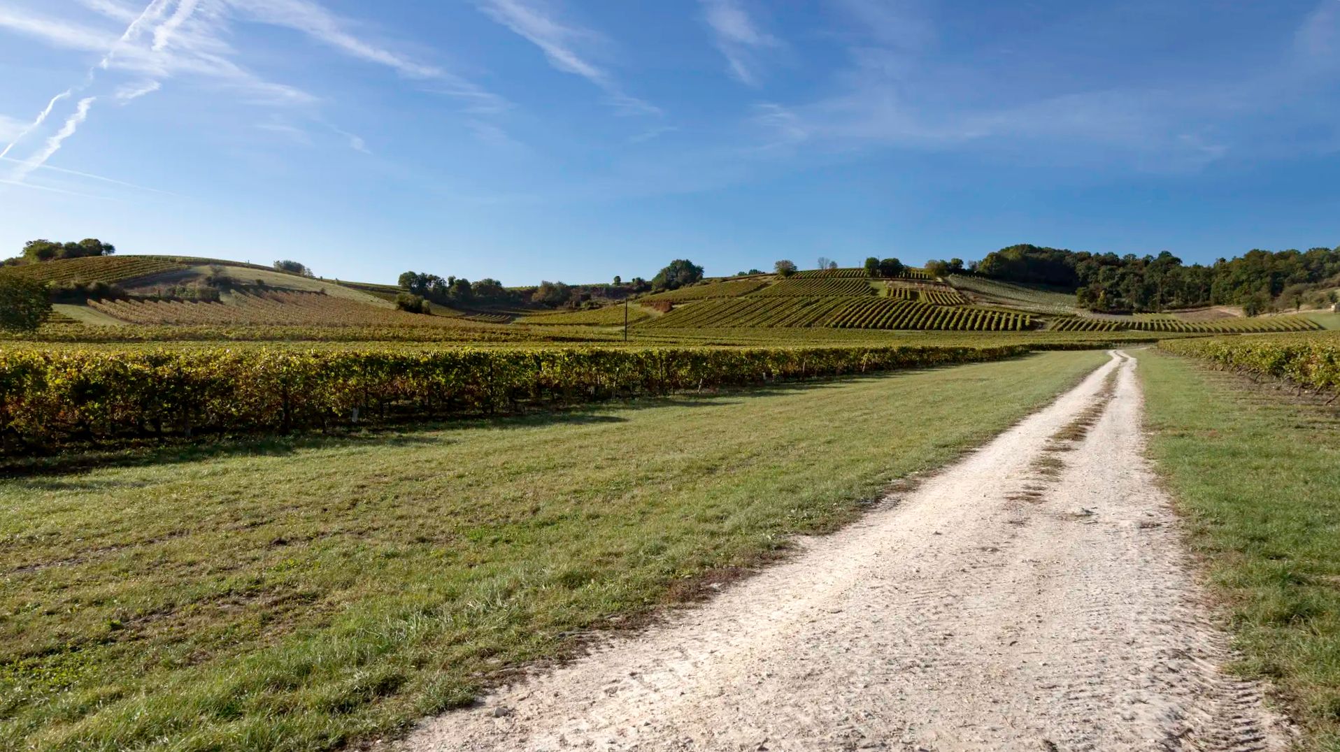
Road cycling routes around Montrollet traverse a diverse landscape characterized by rolling hills and a hilly plateau. Elevations in the area range from approximately 738 feet (225 meters) to over 1,200 feet (368 meters) at the Rocher aux Oiseaux. Cyclists can expect tranquil country roads winding through this varied topography, which includes geological features like gneiss in the western part of the territory. This environment provides a range of challenges suitable for different fitness levels.
Best road cycling routes around…
Last updated: July 2, 2026
4.0
(1)
14
riders
48.3km
02:16
550m
550m
Moderate road ride. Good fitness required. Mostly well-paved surfaces and easy to ride.
5.0
(1)
8
riders
49.4km
02:24
570m
570m
Moderate road ride. Good fitness required. Mostly well-paved surfaces and easy to ride.

Sign up for free
5.0
(1)
8
riders
47.0km
02:15
590m
590m
Moderate road ride. Good fitness required. Mostly well-paved surfaces and easy to ride.
5.0
(1)
5
riders
25.1km
01:13
360m
360m
Moderate road ride. Good fitness required. Mostly well-paved surfaces and easy to ride.
6
riders
50.3km
02:31
600m
600m
Moderate road ride. Good fitness required. Some segments of this route may be unpaved and difficult to ride.
Get access to more routes and recommendations from other explorers.
Sign up for free
Already have an account?
Our route recommendations are based on thousands of hikes, rides, and runs completed by other people on komoot.
Start today with a free account
Your next adventure awaits.
Login or Signup



Other adventures around Montrollet

Tips from the Community


This area is beautiful! Don't be afraid to venture off the path. It's worth it to walk among the rock formations and take in the sights!
1
0
A truly impressive place, a must-see if you've ever been to this region. I also recommend taking the audio tour. Overnight stays are available at Camping & Gîtes En Campagne, 18 km west of Oradour-sur-Glane.
0
0


This medieval city is labeled "Small city of character". And for good reason ! The streets of the heart of the city are full of half-timbered houses. The ramparts, the Vieux bridge, the Goire bridge, the Romanesque churches and the mansions affirm the undeniable charm of Confolens. Located at the confluence of the Vienne and the Goire, the city offers many water activities to visitors.
1
0
This position on the heights offers a beautiful view of the Issoire which flows below and on the north bank of this watercourse.
0
0
Frequently Asked Questions
What is the general terrain like for road cycling around Montrollet?
The terrain around Montrollet is characterized by a diverse and undulating landscape, featuring rolling hills and a distinct hilly plateau. Elevations range from approximately 225 meters to over 368 meters at the Rocher aux Oiseaux, the department's highest point. Cyclists can expect tranquil country roads winding through this varied topography, offering a mix of gentle ascents and more challenging climbs.
How many road cycling routes are available in the Montrollet area?
There are nearly 50 road cycling routes available around Montrollet. These routes are designed to accommodate various skill levels, with 7 easy routes, 34 moderate routes, and 8 difficult routes, ensuring options for every cyclist.
Are there any circular road cycling routes around Montrollet?
Yes, many of the routes around Montrollet are circular. For example, you can enjoy the View of the Issoire River – Confolens loop from 336, which is a moderate 48.3 km ride, or the Roadbike loop from Saint-Christophe, covering 49.8 km through varied terrain.
What kind of natural features or landmarks can I see while road cycling in Montrollet?
Road cycling routes around Montrollet offer glimpses of various natural and historical landmarks. You can pass by the ancient Fairies' Rock, a Bronze Age shelter, or the intriguing Chiroudi sacrifice stone. The region's geology also features gneiss in the western part of the territory, adding to the distinct character of the landscape.
Are there any historical sites accessible by road bike near Montrollet?
Absolutely. Cyclists can explore historical sites such as the visually striking Saint-Junien Three-Arched Bridge over the Glane river. For a poignant cultural experience, the preserved martyr village of Oradour-sur-Glane is also within a reasonable cycling distance.
What do other road cyclists think about the routes in Montrollet?
The road cycling routes in Montrollet are highly regarded by the komoot community, holding an impressive average rating of 4.7 stars from over 10 reviews. More than 200 road cyclists have already used komoot to explore the varied and engaging terrain of Montrollet.
What is a good moderate road cycling route to try in Montrollet?
A popular moderate route is the Fairies' Rock loop from Mortemart. This 43.6 km path takes you past the notable Fairies' Rock, offering both scenic views and a point of historical interest.
Are there any shorter road cycling options for beginners or those with less time?
Yes, for a shorter ride, consider the Étang de Fromental – Puy Tourteau loop from Mortemart. This moderate route is approximately 28.5 km long and can be completed in about 1 hour 27 minutes, offering a pleasant experience without requiring a full day.
What is the best time of year to go road cycling in Montrollet?
Montrollet's diverse landscape is enjoyable throughout much of the year. The rolling hills and tranquil country roads are particularly pleasant during spring and autumn when temperatures are mild and the scenery is vibrant. Summer also offers good conditions, though it can be warmer.
Are there any routes that offer views of rivers or bodies of water?
Yes, you can find routes that feature water views. The View of the Issoire River – Confolens loop from 336 is a prime example, offering scenic vistas along the Issoire River during its 48.3 km journey.
Can I find routes that pass through local villages or offer a glimpse of local culture?
Many routes wind through the charming countryside, connecting small villages and offering a sense of local life. While not a specific route, the area's historical sites like the remains of the 15th-century Montrollet castle and ancient fortified manors, as well as community initiatives like the municipal orchard, contribute to the pastoral charm you'll encounter.
Most popular attractions around Montrollet

Get inspired with the komoot mobile app


Explore more
Browse the best Road cycling routes in other regions.
