
The best running trails around La Péruse
4.6
(5)
156
runners
31
runs
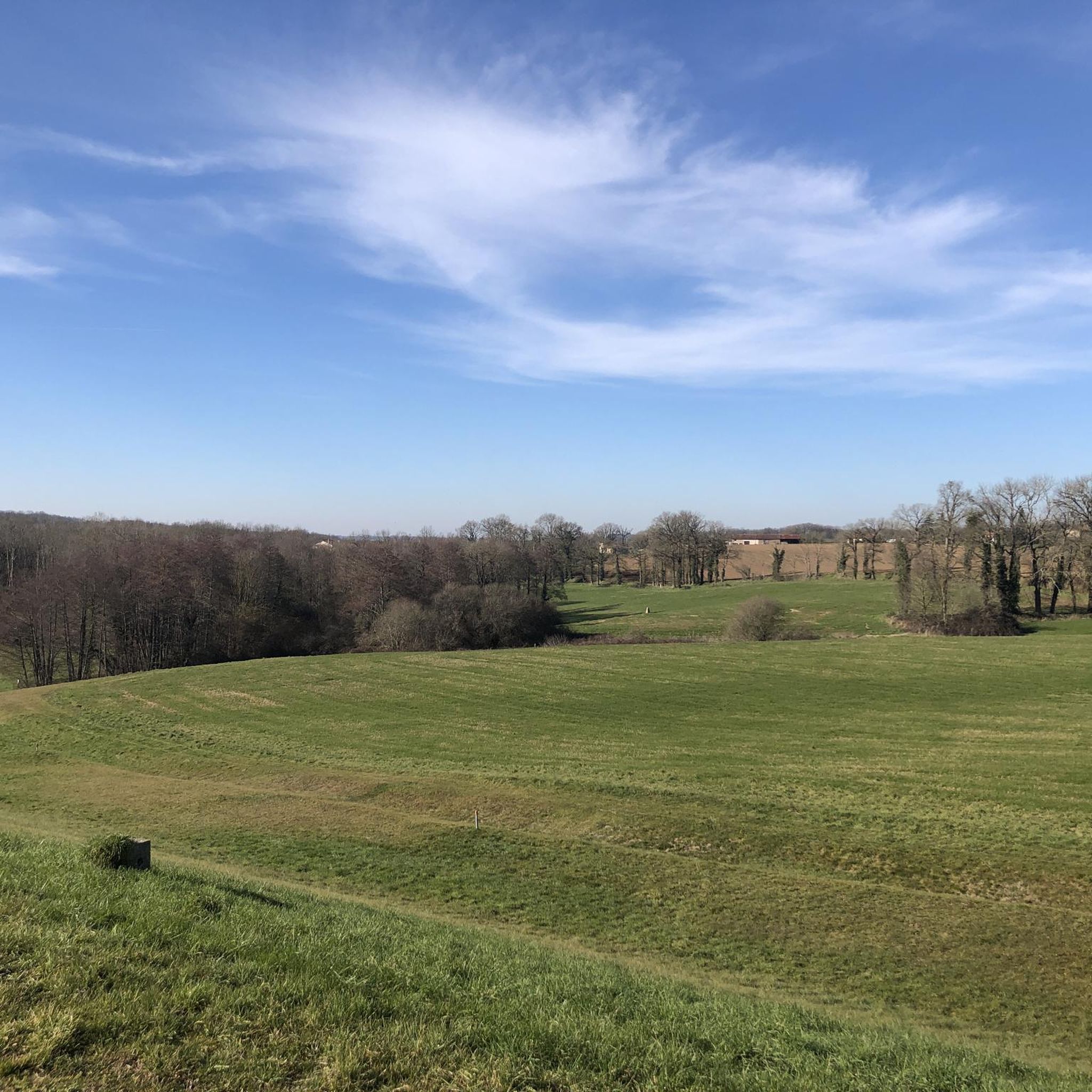
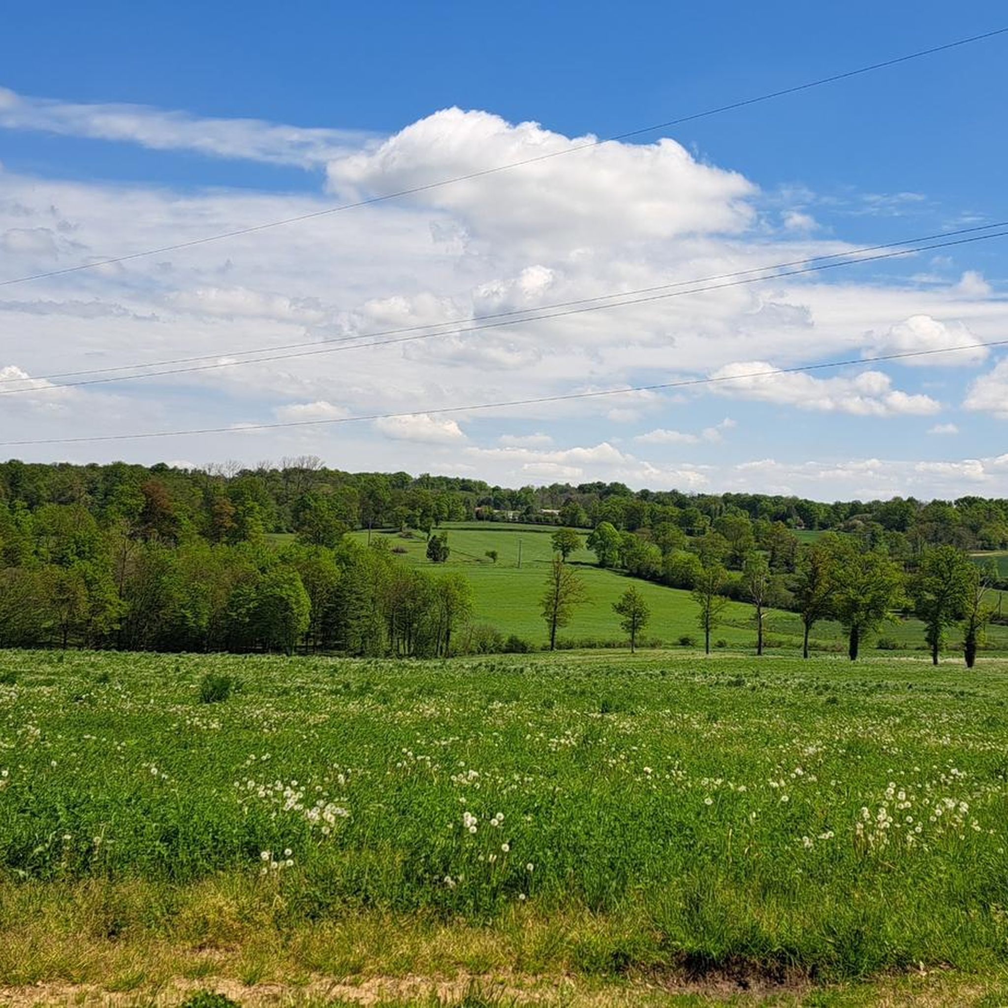
Jogging routes around La Péruse are primarily characterized by a gently undulating landscape, featuring a mix of open countryside and areas around local water bodies. The region offers a network of trails that traverse through rural settings, often passing by historical structures such as châteaux. Elevation changes are generally modest, making the routes accessible for various fitness levels.
Best jogging routes around La Péruse
- The most popular jogging route is Château de Chambes loop from Terres-de-Haute-Charente, a 5.7 miles…
Last updated: June 27, 2026
8
runners
9.20km
00:58
70m
70m
Moderate run. Good fitness required. Mostly paved surfaces. Suitable for all skill levels.
5.0
(1)
9
runners
7.06km
00:45
60m
60m
Moderate run. Good fitness required. Mostly paved surfaces. Suitable for all skill levels.

Sign up for free
6
runners
6.45km
00:40
40m
40m
Moderate run. Good fitness required. Mostly paved surfaces. Suitable for all skill levels.
5
runners
10.6km
01:06
80m
80m
Moderate run. Good fitness required. Mostly paved surfaces. Suitable for all skill levels.
5.0
(1)
4
runners
4.49km
00:28
30m
30m
Easy run. Great for any fitness level. Mostly paved surfaces. Suitable for all skill levels.
Get access to more routes and recommendations from other explorers.
Sign up for free
Already have an account?
Our route recommendations are based on thousands of hikes, rides, and runs completed by other people on komoot.
Start today with a free account
Your next adventure awaits.
Login or Signup
Frequently Asked Questions
How many running routes are available around La Péruse?
There are over 20 running routes around La Péruse documented on komoot, offering a variety of options for different preferences and fitness levels.
What kind of terrain can I expect on the jogging trails in La Péruse?
The jogging routes around La Péruse are primarily characterized by a gently undulating landscape. You can expect a mix of open countryside and trails around local water bodies, often passing by historical structures such as châteaux. The elevation changes are generally modest, making most routes accessible.
Are there any easy running routes for beginners in La Péruse?
While most routes are classified as moderate, the modest elevation changes and varied terrain make many of them suitable for beginners looking for a pleasant run. Routes like the Plan d'eau des Pradelles loop from Terres-de-Haute-Charente offer scenic waterside running without extreme difficulty.
Can I find circular running routes in La Péruse?
Yes, many of the running routes in La Péruse are circular, allowing you to start and finish at the same point. Popular options include the Château de Chambes loop from Terres-de-Haute-Charente and the Running loop from Gare du chemin de Fer de Charente-Limousine.
What are some interesting sights or landmarks I can see while running in La Péruse?
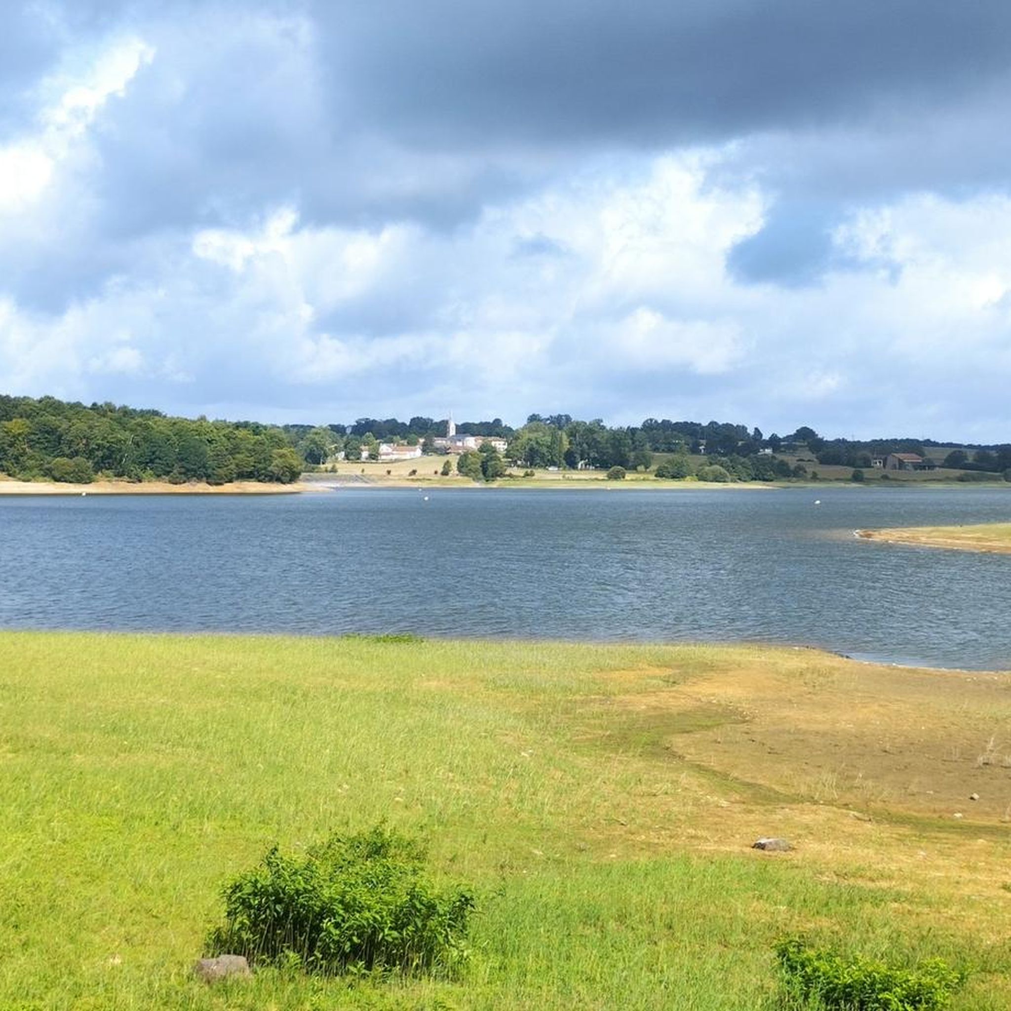
Jogging routes in La Péruse often feature views of local châteaux, such as the Château de Chambes. You can also enjoy scenic waterside views around bodies of water like the Lac de Lavaud and Lac de Mas Chaban. The Lavaud Gelade Lake Footbridge is another notable point of interest.
Are there any running trails that pass by lakes or water bodies?
Absolutely! The region is known for its routes around local water bodies. A great example is the Plan d'eau des Pradelles loop from Terres-de-Haute-Charente, which offers scenic waterside running around the Plan d'eau des Pradelles.
What do other runners say about the trails in La Péruse?
The running routes in La Péruse are highly rated by the komoot community, with an average score of 4.3 stars from 3 reviews. Runners often praise the tranquil rural settings, the modest elevation changes, and the scenic views of châteaux and water bodies.
Are there any longer distance running trails for experienced runners?
Yes, for those looking for a longer run, routes like the Running loop from Gare du chemin de Fer de Charente-Limousine cover approximately 6.7 miles (10.9 km) through the local countryside, offering a good challenge for experienced runners.
Can I find routes that offer views of historical sites?
Many routes in La Péruse incorporate historical elements. For instance, the Château de Chambes loop from Terres-de-Haute-Charente provides direct views of the Château de Chambes, allowing you to combine your run with a glimpse into the region's history.
What is the general difficulty level of running routes in La Péruse?
The majority of running routes in La Péruse are classified as moderate. There are a few more challenging options, but the overall network is designed to be accessible for various ability levels due to the gently undulating landscape and modest elevation gains.
Are there any routes that start or end near public transport hubs?
Yes, some routes are conveniently located near transport points. For example, the Running loop from Gare du chemin de Fer de Charente-Limousine starts near the Gare du chemin de Fer de Charente-Limousine, making it accessible for those using public transport.
Most popular attractions around La Péruse

Get inspired with the komoot mobile app


Explore more
Browse the best Running Trails & Routes in other regions.
