The best running trails around La Motte-Chalancon
5.0
(4)
318
runners
42
runs
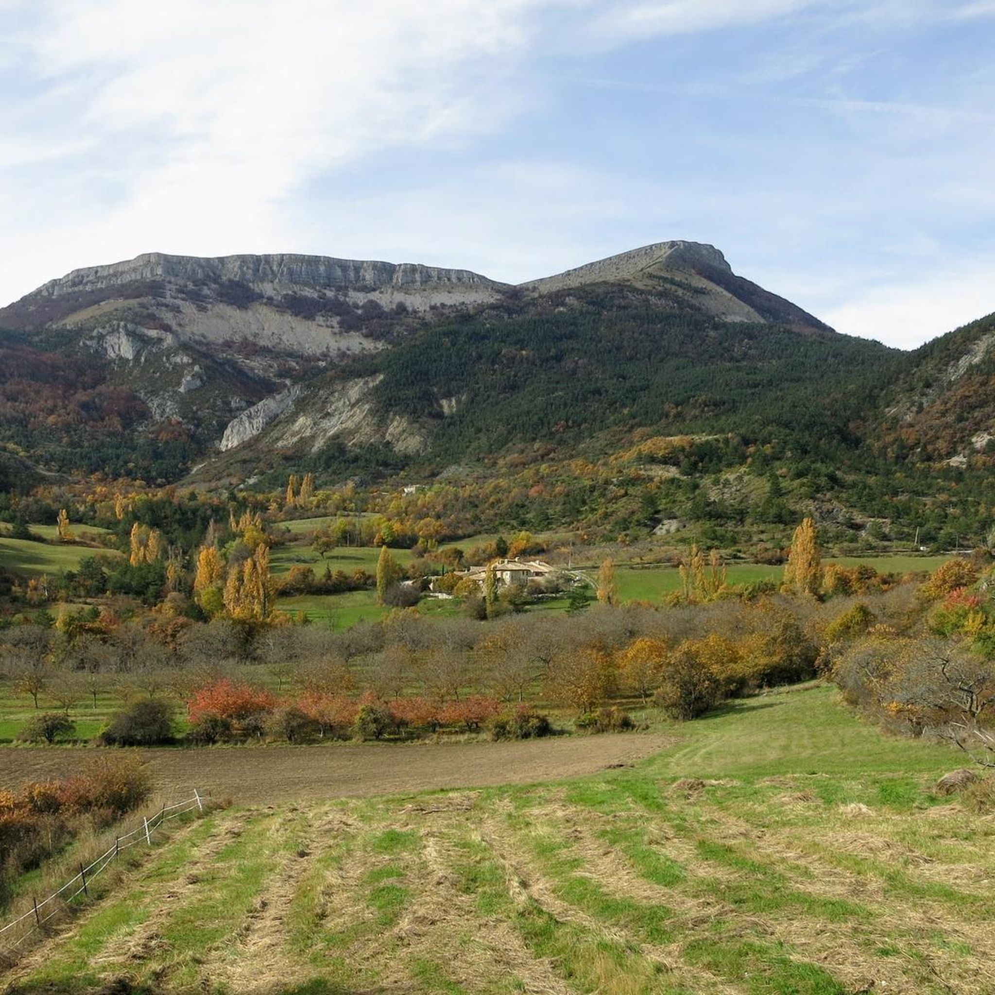
Jogging around La Motte-Chalancon takes runners through a landscape characterized by varied elevations and natural water features. The region features rolling hills and valleys, with some routes offering significant climbs. Dense woodlands and open areas provide diverse running environments. Runners can expect a mix of terrain, from riverside paths to more challenging ascents.
Best jogging routes around La Motte-Chalancon
- The most popular jogging route is Running loop from Cornillon-sur-l'Oule, a 7.0 miles (11.3 km) trail that takes 1 hour…
Last updated: July 8, 2026
21
runners
11.4km
01:33
480m
480m
Hard run. Very good fitness required. Mostly paved surfaces. Suitable for all skill levels.
19
runners
11.8km
01:34
460m
460m
Hard run. Very good fitness required. Mostly paved surfaces. Suitable for all skill levels.

Sign up for free
16
runners
49.3km
07:09
2,210m
2,210m
Hard run. Very good fitness required. Mostly paved surfaces. Suitable for all skill levels.
12
runners
13.9km
01:50
450m
450m
Hard run. Very good fitness required. Mostly paved surfaces. Suitable for all skill levels.
5
runners
7.60km
00:50
130m
130m
Moderate run. Good fitness required. Mostly paved surfaces. Suitable for all skill levels.
Get access to more routes and recommendations from other explorers.
Sign up for free
Already have an account?
Our route recommendations are based on thousands of hikes, rides, and runs completed by other people on komoot.
Start today with a free account
Your next adventure awaits.
Login or Signup
Tips from the Community

Building maintained in excellent condition.
0
0

Very beautiful hike with ridge trails. Be careful, the descent on the way back is very steep.
0
0

The Rock of Cairo is a cliff overlooking Rémuzat. Facing due east, the morning sun quickly warms the air. It is this phenomenon which allowed the reintroduction of vultures into this area. From the rock you can observe vultures including the Egyptian vulture, although it is becoming rarer. A place not to be missed in the region!
2
0
Climb to Cairo Rock, technical and magnificent. A prefectural decree prohibits descent from this side. You borrow some handrails and ladders. The course is accessible, however avoid it if you are afraid of heights.
0
0
The Col du Pensier at an altitude of 1,002 meters is the link between Rémuzat and Villeperdrix. It is located in a dense natural setting and offers some beautiful views of the Baronnies.
0
0
Beautiful single track which winds between the rock walls of the head of Mouret.
0
0
This small village in the Baronnies offers many possibilities to its visitors. Departure from hiking, vulture observation, caving, kayaking, mountain biking... The region of Rémuzat is full of activities to do. At the bend of a small street you discover wash houses, sculpted doors, vaulted porches, the church or even the 9th century Saint Michel Chapel.
0
0

This beautiful 16th century building has two towers. It has been the subject of restoration for 30 years and has been included on the list of historic monuments since 1926. It is known to have belonged to Philis de La Charce, a local heroine of the 17th century.
2
0
Frequently Asked Questions
How many running routes are available around La Motte-Chalancon?
There are over 40 running routes in the La Motte-Chalancon area, offering a wide range of options for different skill levels and preferences. You'll find everything from moderate paths to more challenging trails.
Are there any easy or beginner-friendly jogging routes in La Motte-Chalancon?
While many routes in the region feature varied elevations, there is at least one easy running route available. For those looking for a moderate challenge, the Plan d'eau du Pas des Ondes loop from La Motte-Chalancon is a good option, covering 5.6 miles (9.0 km) with less significant elevation changes.
What are the typical lengths and durations of running trails in this area?
Running trails around La Motte-Chalancon vary significantly in length and duration. For example, the Plan d'eau du Pas des Ondes loop is about 5.6 miles (9.0 km) and takes approximately 1 hour to complete, while longer, more challenging routes like the Rocher du Caire loop from Cornillac stretch over 30 miles (49 km) and can take several hours.
Are there challenging running routes for experienced runners?
Yes, La Motte-Chalancon is well-suited for experienced runners seeking a challenge. The region features significant climbs and varied terrain. There are 28 difficult routes, such as the Motte Vieille loop from La Motte-Chalancon, which covers 8.5 miles (13.7 km) with over 450 meters of elevation gain.
What kind of scenery can I expect on the jogging routes?
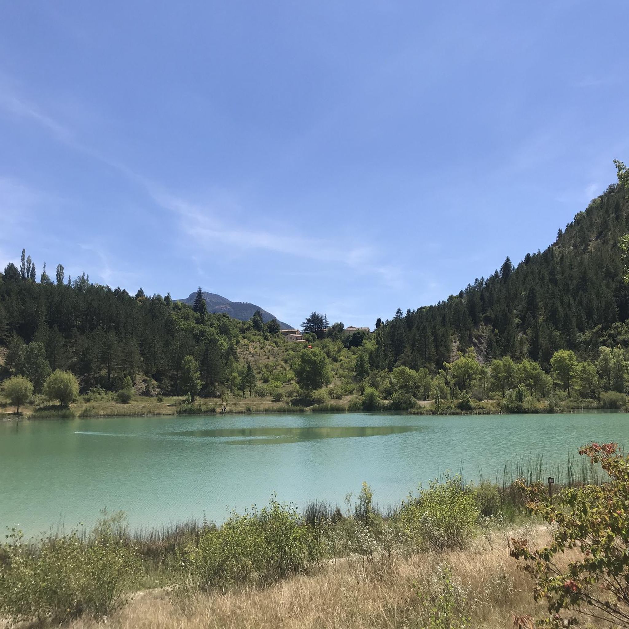
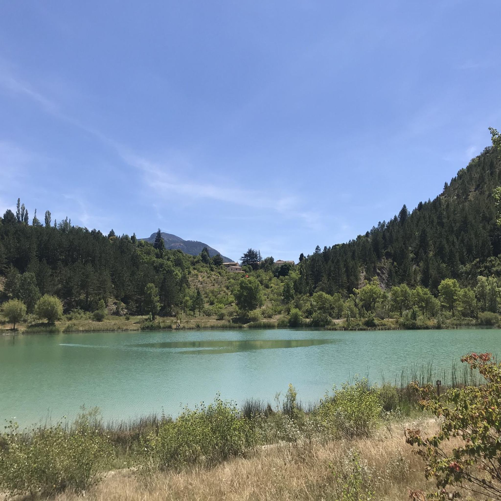
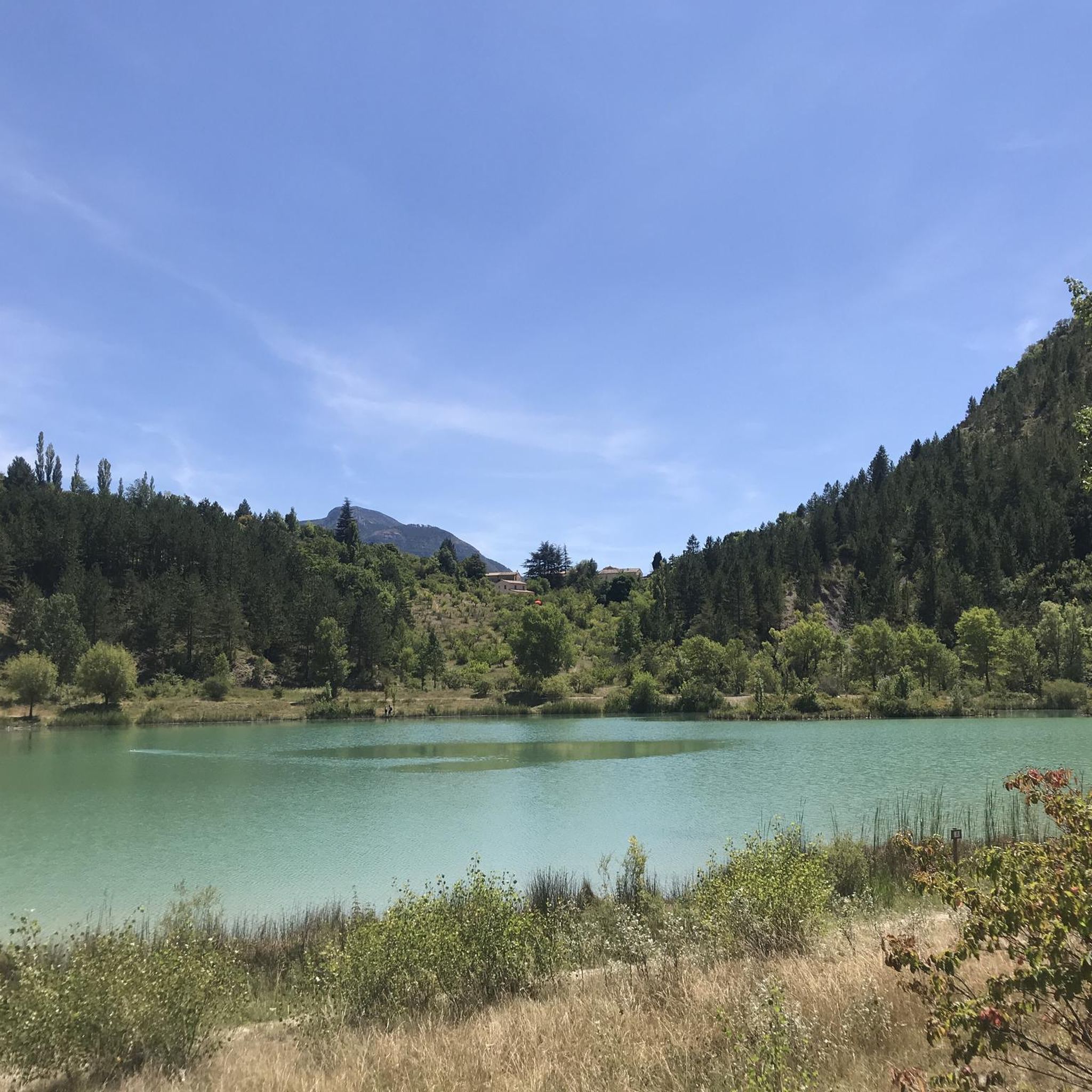
Runners can expect diverse scenery, including dense woodlands, open areas, and paths along natural water features. Many routes offer views of the surrounding hills and valleys, characteristic of the Drôme region. The Plan d'eau du Pas des Ondes loop, for instance, takes you around a scenic water body.
Are there any circular running routes available?
Yes, many of the running routes around La Motte-Chalancon are circular, allowing you to start and finish in the same location. Examples include the Running loop from Cornillon-sur-l'Oule and the Running loop from La Motte-Chalancon.
What do other runners say about the trails in La Motte-Chalancon?
The running routes in La Motte-Chalancon are highly rated by the komoot community, with an average score of 5.0 stars from over 2 reviews. More than 300 runners have used komoot to explore the varied terrain, often praising the diverse landscapes and challenging elevations.
Are there any notable landmarks or attractions along the running trails?
Yes, the region offers several points of interest. While running, you might encounter natural features like the Saut de la Drôme and the Claps, or enjoy panoramic views from the Rocher du Caire. The area also features historic sites such as the La Charce Castle.
Can I bring my dog on the running trails in La Motte-Chalancon?
Generally, dogs are welcome on many outdoor trails in the Drôme region, especially on natural paths. However, it's always advisable to keep them on a leash, particularly in areas with livestock or protected wildlife, and to check specific route regulations if available.
What is the best time of year for running in La Motte-Chalancon?
The Drôme region, with its Mediterranean influence, generally offers pleasant running conditions in spring and autumn when temperatures are milder. Summer can be warm, so early morning or late evening runs are preferable. Winter can bring cooler temperatures, but many routes remain accessible.
Are there any running routes that pass by mountain passes?
Yes, the region around La Motte-Chalancon is known for its mountain passes. While specific running routes might not directly traverse them, some trails offer views or pass near them. Notable passes in the vicinity include Prémol Pass and Col de Muse (932 m).
Are there any running routes suitable for families with children?
For families, easier and shorter routes with less elevation gain are recommended. The Plan d'eau du Pas des Ondes loop from La Motte-Chalancon, with its moderate difficulty and scenic water body, could be a good option for families looking for a pleasant outing.
Most popular attractions around La Motte-Chalancon

Get inspired with the komoot mobile app


Explore more
Browse the best Running Trails & Routes in other regions.
