The best road cycling routes around Denicé
4.4
(265)
5,831
riders
370
rides
Road cycling around Denicé offers a diverse landscape characterized by rolling hills and scenic valleys, typical of the Beaujolais region. The terrain features numerous "cols" or passes, providing varied elevation challenges for road cyclists. Routes often traverse through vineyards and past historic châteaux, connecting charming villages. The area presents a network of roads suitable for different skill levels, from moderate climbs to more demanding ascents.
Best road cycling routes around Denicé
- The most popular road cycling route is Oingt –…
Last updated: July 5, 2026
4.3
(3)
57
riders
58.5km
03:26
1,240m
1,240m
Hard road ride. Very good fitness required. Mostly well-paved surfaces and easy to ride.
4.6
(17)
138
riders
39.1km
02:07
740m
740m
Moderate road ride. Good fitness required. Mostly well-paved surfaces and easy to ride.

Sign up for free
5.0
(2)
46
riders
63.9km
03:27
1,280m
1,280m
Hard road ride. Very good fitness required. Mostly well-paved surfaces and easy to ride.
5.0
(4)
39
riders
Moderate road ride. Good fitness required. Mostly well-paved surfaces and easy to ride.
5.0
(1)
61
riders
38.5km
02:05
720m
720m
Moderate road ride. Good fitness required. Mostly well-paved surfaces and easy to ride.
Get access to more routes and recommendations from other explorers.
Sign up for free
Already have an account?
Our route recommendations are based on thousands of hikes, rides, and runs completed by other people on komoot.
Start today with a free account
Your next adventure awaits.
Login or Signup

Tips from the Community

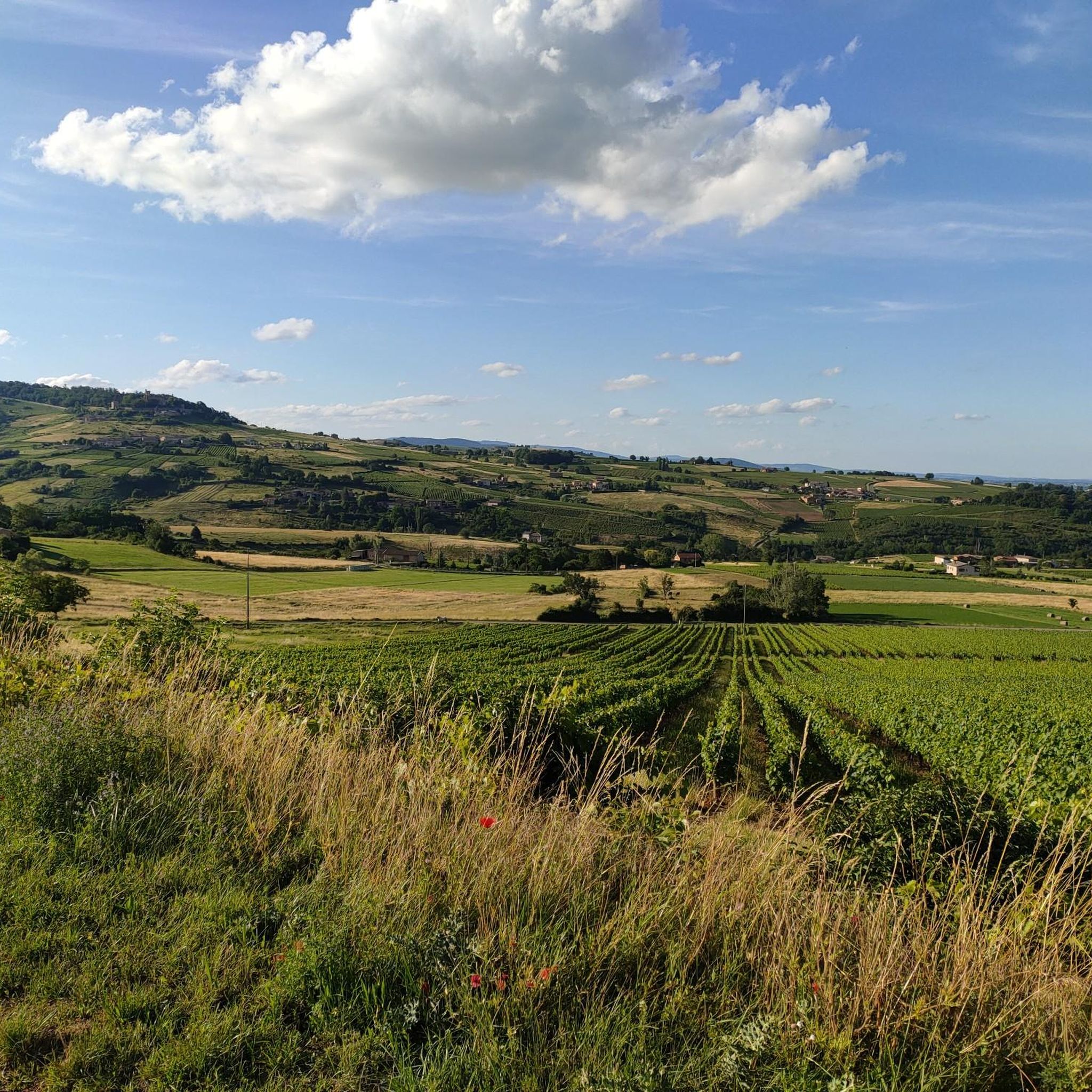
A crossroads, with a very beautiful willow tree, which offers several nice routes for amateur cyclists.
0
0

An essential landmark in the region for cyclists
0
0

Great snack for a break with a magnificent view of the vineyards. 🌭🍺🍟
0
0

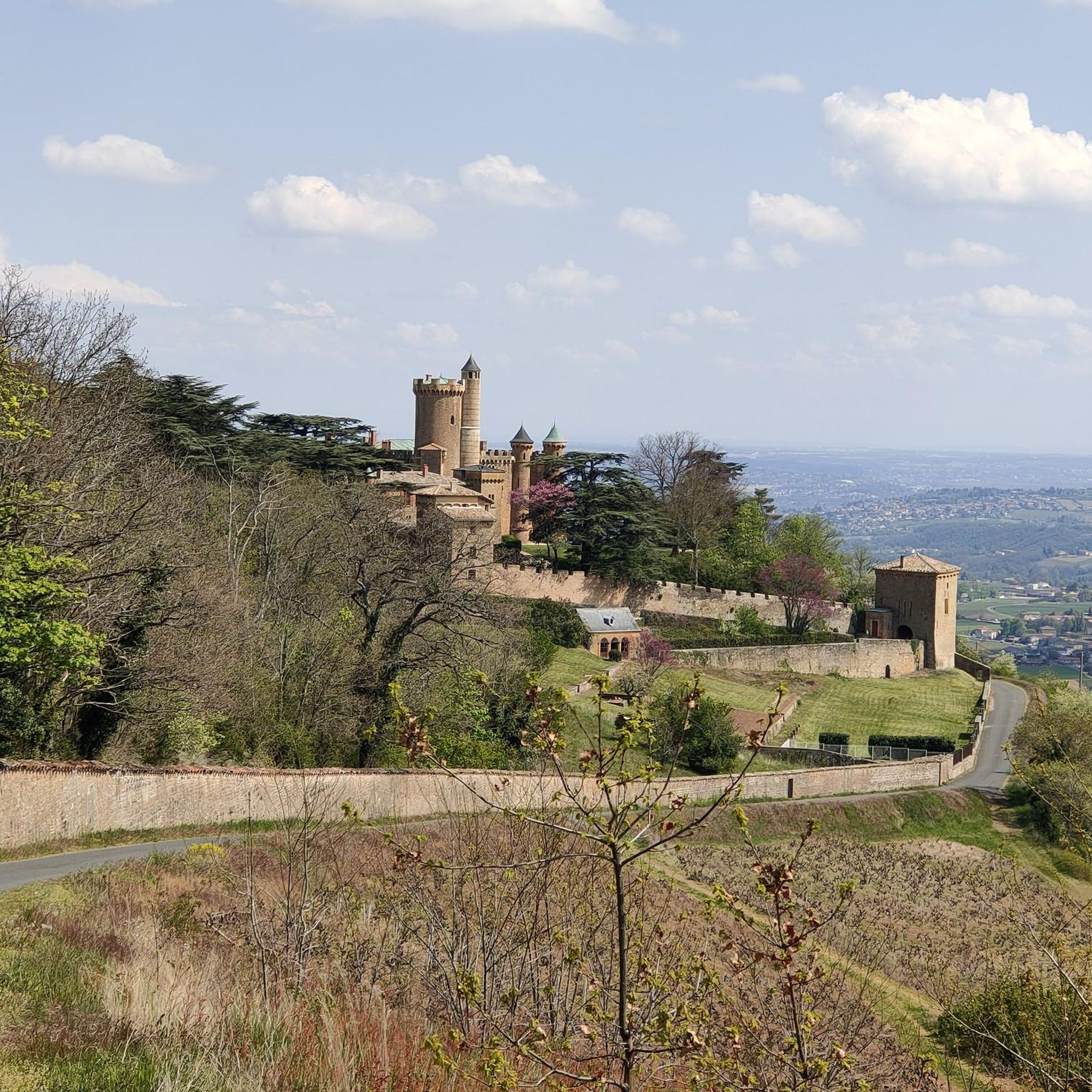
Magnificent castle in the commune of Montmelas St Sorlin
0
0

Frequently Asked Questions
How many road cycling routes are available around Denicé?
There are over 350 road cycling routes around Denicé recorded on komoot. This includes a wide range of options, with 208 moderate routes and 112 difficult routes, ensuring choices for various skill levels.
What are the typical difficulty levels for road cycling in Denicé?
Road cycling around Denicé offers a diverse range of difficulties. You'll find routes with significant elevation gain, characteristic of the Beaujolais region's 'cols' or passes. For example, the Oingt – Col de Saint-Bonnet loop from Lacenas is rated difficult, while the Col du Parasoir (657 m) – Le Saule d'Oingt loop from Porte des Pierres Dorées offers a moderate challenge.
Are there beginner-friendly road cycling routes in Denicé?
While many routes feature rolling hills and climbs, there are approximately 35 routes classified as easy, making them suitable for beginners or those looking for a more relaxed ride. These routes often traverse scenic valleys and vineyards with less demanding ascents.
What are the common starting points for road cycling routes in Denicé?
Many popular routes start from villages like Lacenas or Porte des Pierres Dorées. These locations often provide convenient access to the road network and are good points to begin your cycling adventure.
What kind of scenery can I expect on road cycling routes around Denicé?
The routes in Denicé are renowned for their picturesque scenery, characterized by rolling hills, expansive vineyards, and charming valleys. You'll frequently pass historic châteaux and traditional villages, offering a true taste of the Beaujolais region.
Are there any notable landmarks or attractions along the road cycling routes?
Yes, the region is rich in landmarks. You can cycle past historic sites like Montmelas Castle or Château de Fléchères. Many routes also feature climbs over significant mountain passes such as Col de Saint-Bonnet or Croix Papin Pass, offering stunning views.
What is the best time of year for road cycling in Denicé?
The spring and autumn months generally offer the most pleasant conditions for road cycling in Denicé, with milder temperatures and beautiful seasonal colors in the vineyards. Summer can also be excellent, though it's advisable to start earlier in the day to avoid the midday heat.
Are there loop road cycling routes available in Denicé?
Yes, many road cycling routes around Denicé are designed as loops, allowing you to start and finish in the same location. Examples include the Château du Sou – Le Saule d'Oingt loop from Lacenas and the Chapelle de Chevennes – Col du Parasoir (657 m) loop from Lacenas.
What do other road cyclists enjoy most about road cycling in Denicé?
The area is highly rated by the komoot community, with an average score of 4.4 stars from over 200 reviews. Reviewers often praise the challenging 'cols,' the beautiful vineyard landscapes, and the variety of routes suitable for different ability levels.
Are there places to stop for refreshments along the road cycling routes?
Yes, many routes pass through charming villages where you can find cafes and restaurants. Additionally, specific points like Le relais du Parasoir are known stops for cyclists, offering opportunities to refuel and rest.
What are some longer, more challenging road cycling routes in the area?
For those seeking a greater challenge, routes like the Chapelle de Chevennes – Col du Parasoir (657 m) loop from Lacenas, spanning over 64 km with significant elevation, provide a demanding and rewarding experience.
How long do road cycling routes in Denicé typically take to complete?
The duration varies significantly based on distance and elevation. Moderate routes, such as the Le relais du Parasoir – Col de Saint-Bonnet loop from Porte des Pierres Dorées (38.3 km), can take around 2 hours, while more difficult and longer routes might require 3.5 hours or more.
Most popular attractions around Denicé

Get inspired with the komoot mobile app


Explore more
Browse the best Road cycling routes in other regions.
