The best road cycling routes around Thurins
4.5
(276)
4,400
riders
155
rides
Road cycling routes around Thurins are situated within the Monts du Lyonnais, a region characterized by rolling hills, valleys, and elevations ranging from approximately 1,004 to 2,595 feet (306 to 791 meters). This varied topography provides a dynamic environment for road cyclists, featuring both challenging climbs and descents. The area is known for its agricultural landscapes, including vineyards and orchards, which contribute to the scenic appeal of the routes. Cyclists can also encounter historical landmarks such as the remains of…
Last updated: July 2, 2026
5.0
(2)
46
riders
49.4km
02:37
930m
940m
Hard road ride. Very good fitness required. Mostly well-paved surfaces and easy to ride.
38
riders
75.4km
03:39
1,040m
1,040m
Hard road ride. Very good fitness required. Mostly well-paved surfaces and easy to ride.

Sign up for free
25
riders
54.0km
02:50
1,010m
1,010m
Hard road ride. Very good fitness required. Mostly well-paved surfaces and easy to ride.
4.5
(2)
17
riders
33.3km
01:49
700m
700m
Moderate road ride. Good fitness required. Mostly well-paved surfaces and easy to ride.
16
riders
9.70km
00:32
140m
140m
Easy road ride. Great for any fitness level. Mostly well-paved surfaces and easy to ride.
Get access to more routes and recommendations from other explorers.
Sign up for free
Already have an account?
Our route recommendations are based on thousands of hikes, rides, and runs completed by other people on komoot.
Start today with a free account
Your next adventure awaits.
Login or Signup

Tips from the Community

The Le plan d'eau du Ronzey is a relaxation area in an exceptional natural setting, at the foot of the village of Yzeron. It is possible to fish, walk or go birdwatching. You will also find games for children on site.
0
0
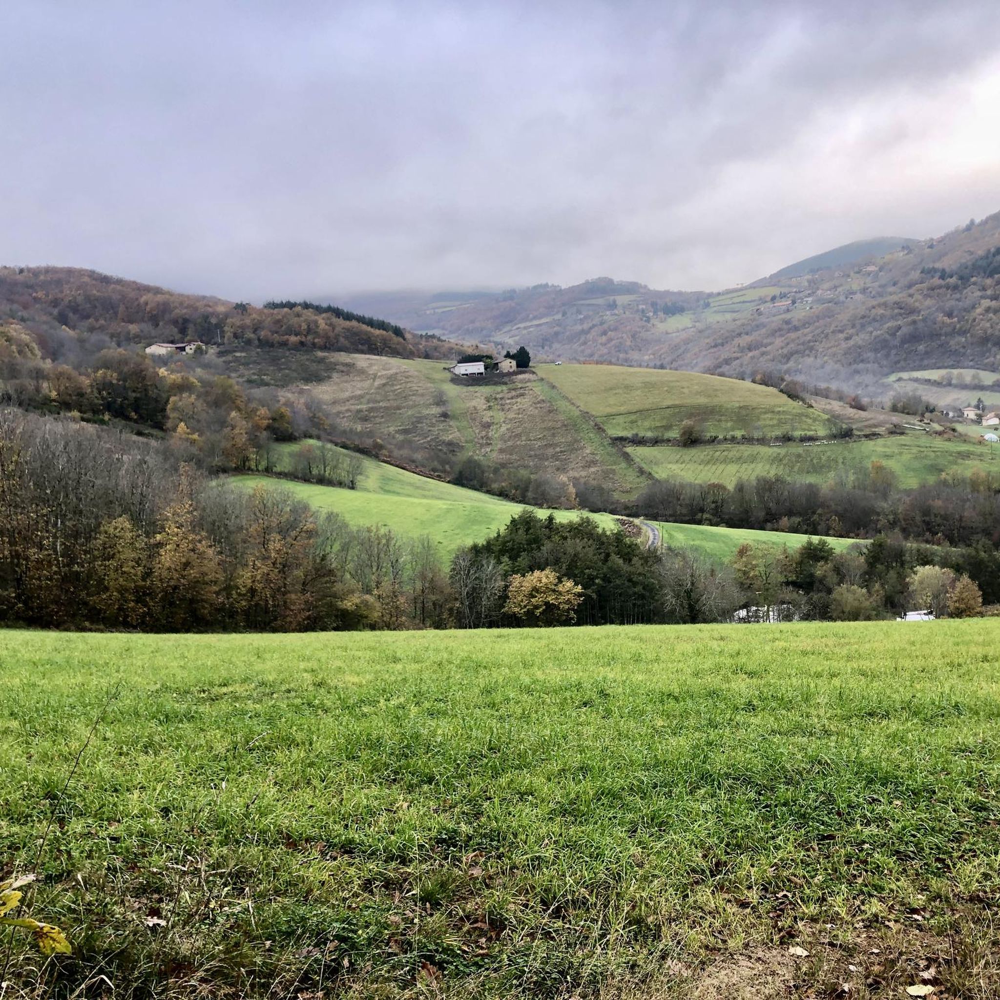
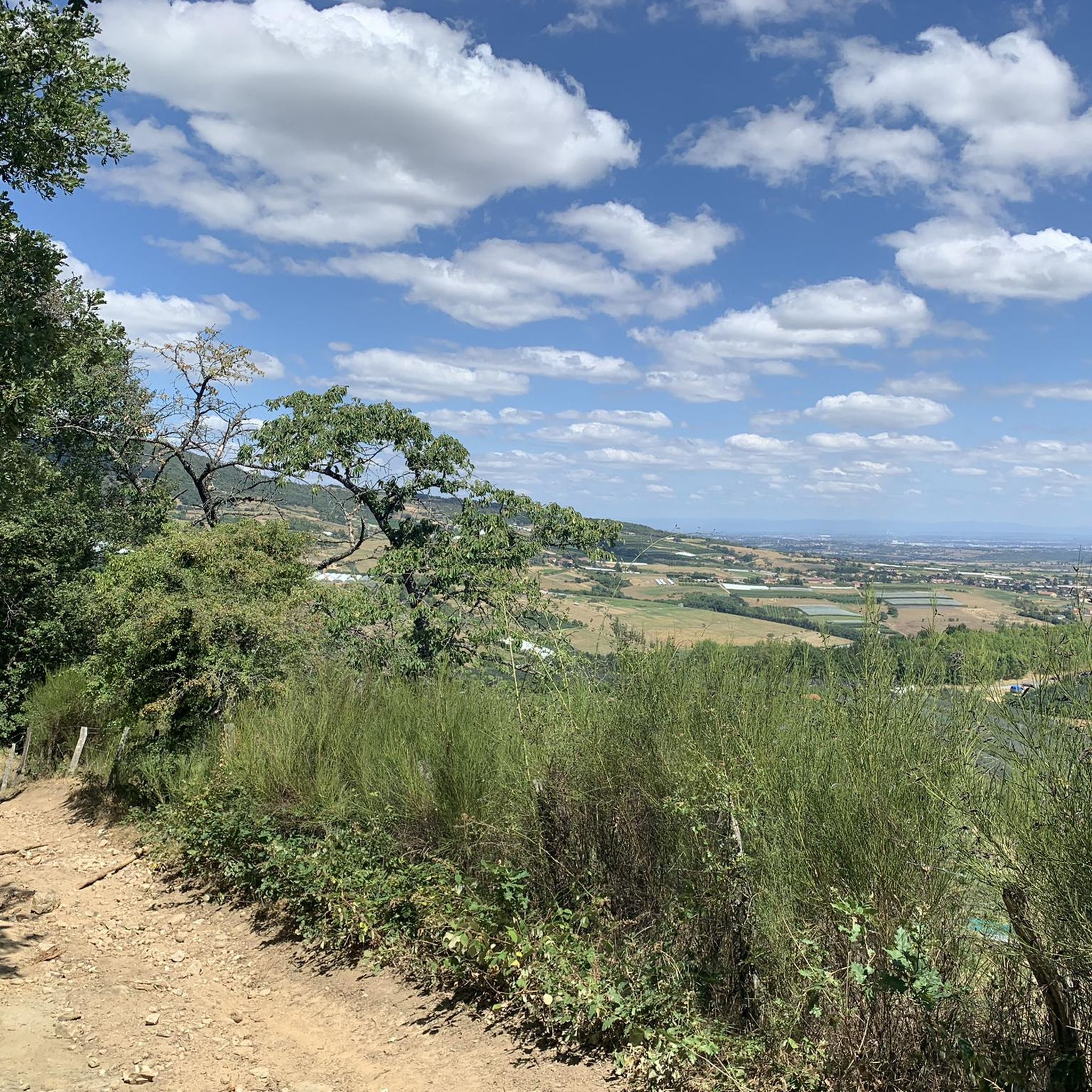
From Pomeys, you gain altitude on the road that winds towards Grézieu-le-Marché. All along, you enjoy superb viewpoints over the hilly landscape of the Lyonnais highlands.
0
0


No matter which way you climb, every climb has its charm.
0
0


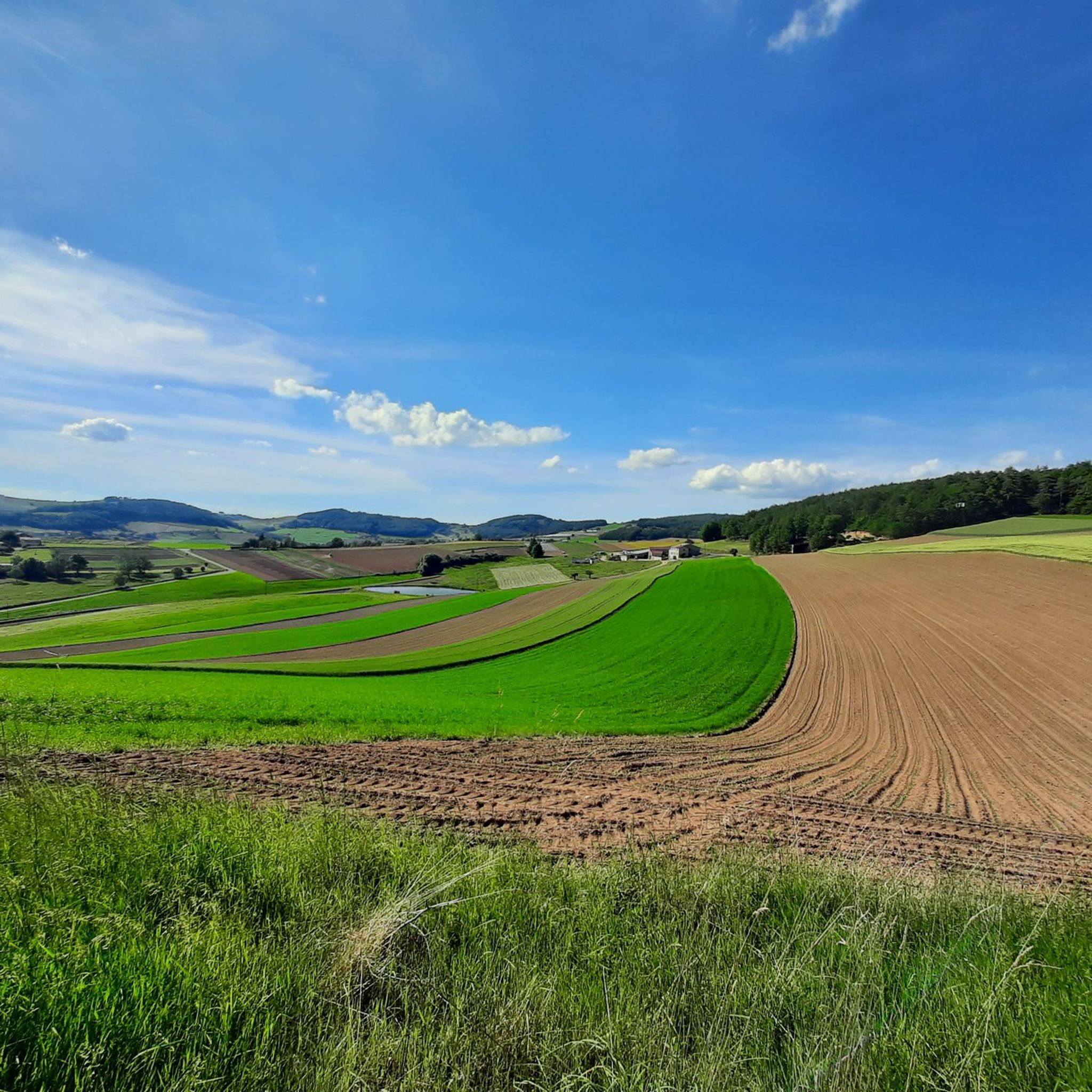
magnificent view of the valley and its orchards
0
0

Frequently Asked Questions
What kind of terrain can I expect on road cycling routes in Thurins?
Road cycling routes around Thurins are primarily situated within the Monts du Lyonnais, characterized by rolling hills, valleys, and elevations ranging from approximately 306 to 791 meters. This varied topography provides a dynamic environment with both challenging climbs and exhilarating descents. You'll also encounter picturesque agricultural landscapes, including vineyards and orchards, adding to the scenic appeal.
Are there road cycling routes suitable for beginners or those looking for an easier ride?
Yes, while the region is known for its varied topography, there are options for all skill levels. Out of nearly 150 road cycling routes around Thurins, 15 are classified as easy, offering gentler gradients and shorter distances for a more relaxed experience.
What historical landmarks or natural features can I see along the road cycling routes?
The routes often pass by impressive historical structures and offer stunning natural views. You can encounter remains of the ancient Roman Gier Aqueduct, including the Garon siphon bridge. The Chapelle Saint-Vincent is another notable landmark, offering panoramic views of the Lyon region and the Alps on clear days. The region's agricultural beauty, with vineyards and orchards, also provides a charming backdrop.
Are there any circular road cycling routes around Thurins?
Yes, many of the road cycling routes around Thurins are designed as loops, allowing you to start and finish in the same location. For example, the Route d'Yzeron – Yzeron loop from Soucieu-en-Jarrest is a popular moderate option, and the more challenging Yzeron – Col des Brosses loop from Thurins also offers a circular path.
What do other road cyclists think about the routes in Thurins?
The road cycling routes in Thurins are highly regarded by the komoot community, with an average rating of 4.5 stars from over 200 reviews. Cyclists often praise the varied terrain, the stunning panoramic views, and the charming agricultural landscapes that make each ride unique.
Are there specific viewpoints or scenic spots accessible by road bike?
Absolutely. The Monts du Lyonnais offer magnificent panoramas. Routes often provide views stretching as far as the Alps and Mont Blanc on clear days. The Chapelle Saint-Vincent is a particularly rewarding destination for its spectacular panoramic view of the Lyon region, the Alps, and Mont du Pilat.
What is the best time of year for road cycling in Thurins?
The region is generally pleasant for cycling from spring through autumn. Spring offers lush green landscapes and blooming orchards, while autumn provides beautiful fall colors. Summer can be warm, but the varied elevations mean you can often find cooler spots. Always check local weather forecasts before heading out.
Are there any lakes or water features I can cycle past near Thurins?
Yes, the area around Thurins features several beautiful lakes. You might cycle near Lac du Ronzey, the Thurins Dam, or Lac de la Madone, which also features a Statue of the Virgin Mary. These spots can offer scenic breaks during your ride.
Where can I find parking for road cycling routes in Thurins?
While specific parking areas for each route vary, Thurins and surrounding villages like Soucieu-en-Jarrest and Yzeron typically offer public parking options. It's advisable to check the starting point of your chosen route for the most convenient parking facilities.
Are there any challenging climbs for experienced road cyclists in the Thurins area?
Definitely. The Monts du Lyonnais are known for their significant elevation gains. Some climbs can be up to 14.1 km long with an average gradient of 5.7%. The Yzeron – Col des Brosses loop from Thurins, for instance, is a difficult route with over 1000 meters of elevation gain, offering extensive climbing and rewarding panoramic views.
Can I find cyclist-friendly cafes or pubs in Thurins?
Cycling routes often pass through charming traditional French villages, including Thurins itself. These villages typically offer opportunities to stop for refreshments at local cafes or pubs, allowing you to experience local heritage and refuel during your ride.
What is the overall difficulty range of road cycling routes around Thurins?
The road cycling network around Thurins offers a broad range of difficulties. You can find easy routes for a leisurely ride, moderate options like the Yzeron – Col des Brosses loop from Yzeron, and difficult paths with extensive climbing for experienced cyclists, such as the Yzeron – Col des Brosses loop from Thurins.
Most popular attractions around Thurins

Get inspired with the komoot mobile app


Explore more
Browse the best Road cycling routes in other regions.
