The best running trails around Sourcieux-Les-Mines
4.4
(496)
12,415
runners
420
runs
Jogging around Sourcieux-Les-Mines offers a variety of running routes through a landscape characterized by hills and forested areas. The region features notable elevations, with several routes traversing the Col de la Croix du Ban, indicating a challenging and varied terrain for runners. Paths often lead through natural settings, providing options for those seeking both demanding climbs and more moderate runs.
Best jogging routes around Sourcieux-Les-Mines
- The most popular jogging route is Col de la Croix du Ban – Le roi de la route #2 loop from Saint-Pierre-la-Palud, a 14.7 miles (23.6 km) trail that takes 3 hours 28 minutes to complete. This difficult route features significant elevation gain through the hilly landscape.
- Another top favourite among local runners is Col de la Croix du Ban – Col de la Croix du Ban (602 m) loop from Saint-Pierre-la-Palud, a difficult 8.8 miles (14.2 km) path. This route offers sustained climbs and views from the Col de la Croix du Ban.
- Local runners also love the Col de la Croix du Ban (602 m) – Col de la Croix du Ban loop from Saint-Pierre-la-Palud, a 7.2 miles (11.6 km) trail leading through the hilly terrain around Col de la Croix du Ban, often completed in about 1 hour 29 minutes.
- Jogging around Sourcieux-Les-Mines is defined by hilly terrain, forested sections, and routes with notable elevation gain. The network offers options for different ability levels, from moderate paths to challenging long distance jogging routes.
- The routes in Sourcieux-Les-Mines are highly rated by the komoot community with an average score of 4.4 stars from over 400 reviews. More than 11,000 runners have used komoot to explore Sourcieux-Les-Mines's varied terrain.
Last updated: July 5, 2026
5.0
(3)
87
runners
23.6km
03:28
1,240m
1,240m
Hard run. Very good fitness required. Mostly accessible paths. Some sure footedness required.
4.5
(2)
60
runners
Hard run. Very good fitness required. Mostly accessible paths. Some sure footedness required.

Sign up for free
5.0
(1)
42
runners
Hard run. Very good fitness required. Mostly accessible paths. Some sure footedness required.
11
runners
6.24km
00:40
110m
110m
Moderate run. Good fitness required. Mostly paved surfaces. Suitable for all skill levels.
10
runners
14.3km
01:41
280m
280m
Moderate run. Good fitness required. Mostly paved surfaces. Suitable for all skill levels.
Get access to more routes and recommendations from other explorers.
Sign up for free
Already have an account?
Our route recommendations are based on thousands of hikes, rides, and runs completed by other people on komoot.
Start today with a free account
Your next adventure awaits.
Login or Signup
Tips from the Community


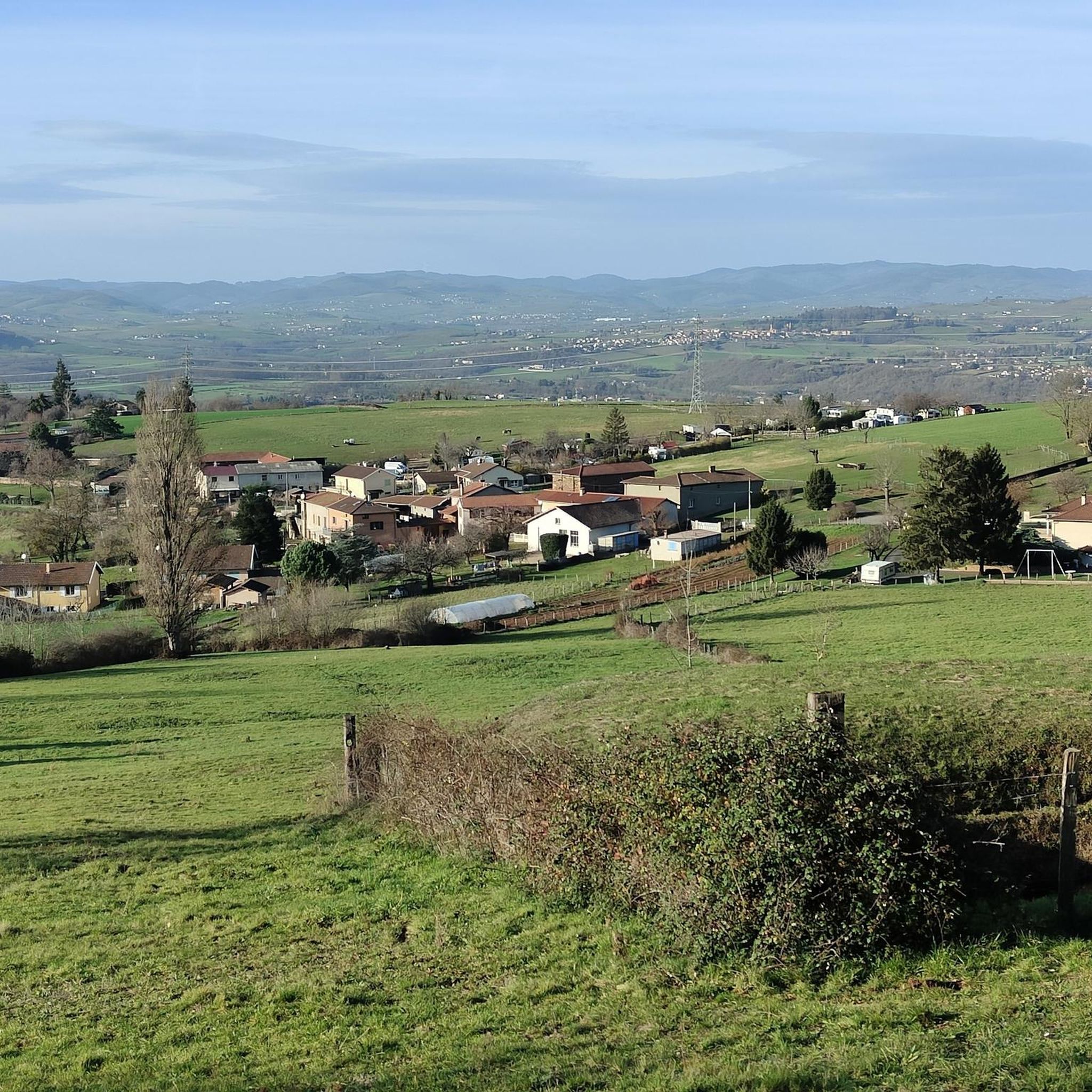
The descent is really cool on the Chevinay side
1
0

Please note: the restaurant is no longer available! It's best to plan ahead and bring your own supplies.
0
0

But what is this car doing here? :)
0
0

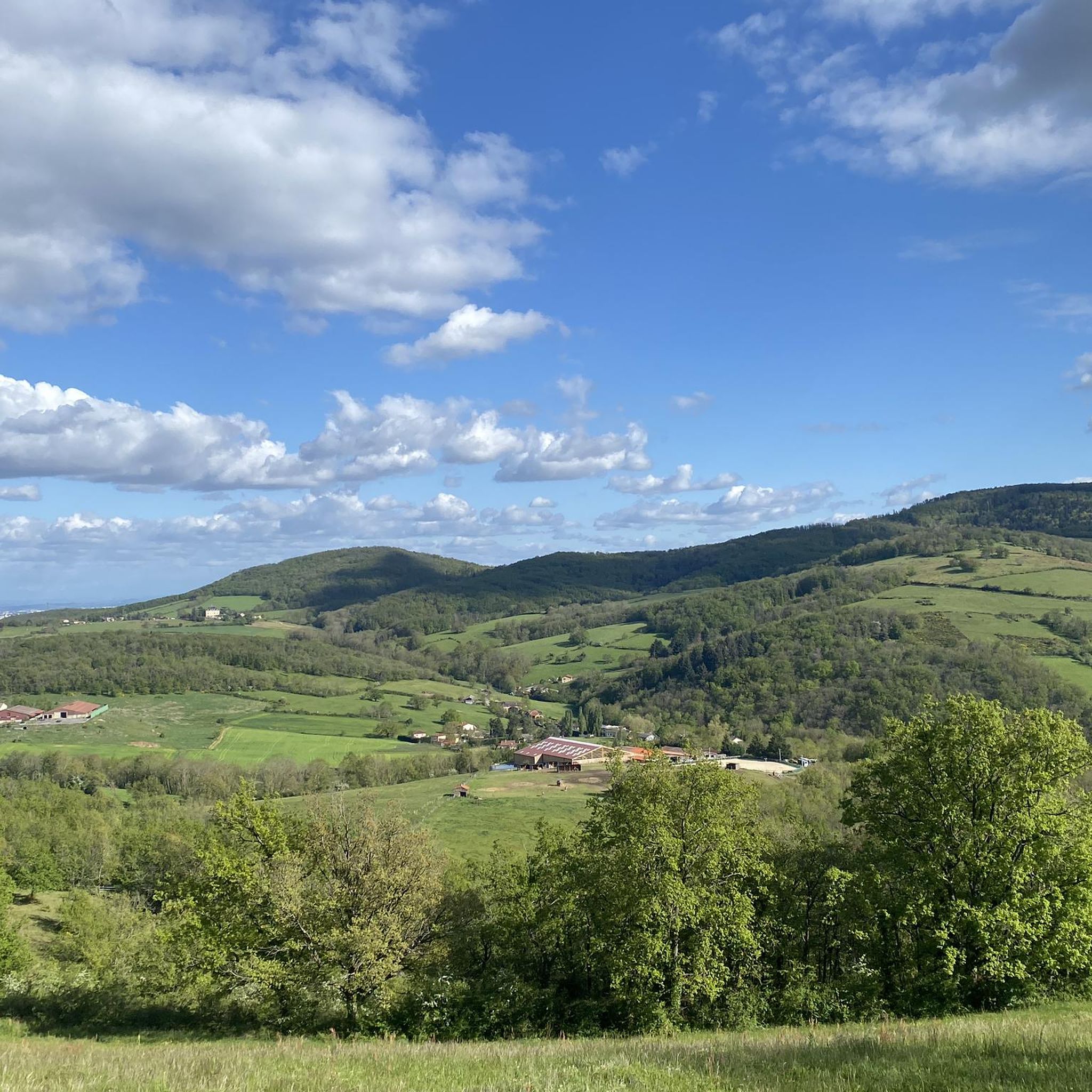
As you climb the challenging Col de la Croix du Ban, you’ll be rewarded with breathtaking panoramic views of the city of Lyon. This iconic vantage point offers stunning views of the city’s skyline, with its historic buildings, modern skyscrapers, and the confluence of the Rhone and Saone rivers.
0
0

The Col de la Croix du Ban, in the Monts du Lyonnais, can be approached either from Saint-Pierre-la-Palud or from Poulionnay. In the first case, it is a six-kilometre climb, in the second it is only three. In both cases, the average gradient is 6%.
0
1
The Croix du Ban pass is a delightful challenge for bikepacking enthusiasts, offering a rewarding climb through the lush, wooded landscapes of the Monts du Lyonnais. The ascent is steady to the summit, from where you will have a breathtaking view of the surrounding valleys and hills.
1
0
Chateau le Poirier is nestled in the picturesque countryside and offers you a blend of history and scenic beauty. This historic estate, surrounded by its gardens, gives you a glimpse of the grandeur of its past through its well-preserved architecture and majestic presence.
1
0
Frequently Asked Questions
How many running routes are available around Sourcieux-Les-Mines?
There are over 400 running routes in the Sourcieux-Les-Mines area, offering a wide range of options for different fitness levels and preferences. The region is known for its hilly and forested terrain.
Are there easy jogging routes suitable for beginners in Sourcieux-Les-Mines?
Yes, Sourcieux-Les-Mines offers 22 easy running routes. These paths typically feature less elevation gain and shorter distances, making them ideal for those new to jogging or looking for a more relaxed run.
What kind of terrain can I expect on the running trails in Sourcieux-Les-Mines?
The terrain around Sourcieux-Les-Mines is characterized by hills and forested areas, with many routes featuring notable elevation gain. You'll find a mix of challenging climbs and more moderate paths through natural settings.
Are there any scenic running routes with points of interest?
Many routes offer scenic views and pass by interesting landmarks. For example, you might encounter highlights such as the Col de la Luère or the Old Col de la Croix du Ban. The region's hilly landscape provides numerous vantage points.
Are there any loop running routes in Sourcieux-Les-Mines?
Yes, many of the running routes in Sourcieux-Les-Mines are designed as loops, allowing you to start and finish at the same point. An example is the moderate 6.3 km Domaine de La Tourette – La Tourette Convent loop from Éveux.
What do other runners enjoy most about jogging in Sourcieux-Les-Mines?
The running routes in Sourcieux-Les-Mines are highly rated by the komoot community, with an average score of 4.4 stars from over 400 reviews. Runners often praise the varied terrain, the challenging climbs, and the beautiful natural scenery of the forested hills.
Are there longer distance running routes for experienced runners?
Absolutely. For those seeking a challenge, there are several long-distance routes with significant elevation gain. An example is the 14.3 km Château le Poirier loop from Lentilly, which is rated as moderate.
Can I find running routes that are less crowded?
While some popular routes, especially those around the Col de la Croix du Ban, can see more activity, the extensive network of over 400 trails means you can often find quieter paths, particularly on weekdays or by exploring some of the less-trafficked moderate routes.
Are there any running routes that are accessible by public transport?
While specific public transport links to every trailhead can vary, many routes start from villages or towns in the region, such as Saint-Pierre-la-Palud or Éveux, which may have local bus services. It's advisable to check local transport schedules for specific starting points.
What is the best time of year to go running in Sourcieux-Les-Mines?
The region's forested and hilly landscape makes it enjoyable for running across multiple seasons. Spring and autumn offer pleasant temperatures and beautiful foliage. Summer can be good, especially in the shaded forest sections, while winter runs are possible, though some higher elevation paths might require more caution depending on conditions.
Are there any running routes that pass by castles or historical sites?
Yes, the area has historical points of interest. For instance, you might find routes near the Saint-Bonnet-le-Froid Castle and Church or the Charnay Village and Castle, offering a blend of natural beauty and cultural exploration during your run.
Most popular routes around Sourcieux-Les-Mines
Most popular attractions around Sourcieux-Les-Mines

Get inspired with the komoot mobile app


Explore more
Browse the best Running Trails & Routes in other regions.
