The best walks and hikes around Poilhes
4.6
(365)
1,888
hikers
135
hikes
Hiking around Poilhes offers diverse landscapes, from the banks of the Canal du Midi to the wetlands of Capestang Lake. The region features rolling hills, vineyards, and historical sites like the Oppidum d'Ensérune. This varied terrain provides a range of hiking experiences, including paths along ancient waterways and routes through agricultural lands.
Best hiking trails around Poilhes
- The most popular hiking route is Etang de Montady viewpoint – Malpas Tunnel loop from Colombiers, a 5.2 miles (8.4 km) moderate…
Last updated: May 24, 2026
4.3
(6)
10
hikers
3.29km
00:54
50m
50m
Easy hike. Great for any fitness level. Easily-accessible paths. Suitable for all skill levels.
4.6
(19)
113
hikers
14.6km
03:53
170m
170m
Moderate hike. Good fitness required. Easily-accessible paths. Suitable for all skill levels.

Sign up for free
5.0
(2)
6
hikers
12.8km
03:18
60m
60m
Moderate hike. Good fitness required. Easily-accessible paths. Suitable for all skill levels.
5.0
(1)
10
hikers
9.73km
02:35
100m
100m
Moderate hike. Good fitness required. Easily-accessible paths. Suitable for all skill levels.
5.0
(1)
8
hikers
1.90km
00:31
30m
30m
Easy hike. Great for any fitness level. Easily-accessible paths. Suitable for all skill levels.
Get access to more routes and recommendations from other explorers.
Sign up for free
Already have an account?
Our route recommendations are based on thousands of hikes, rides, and runs completed by other people on komoot.
Start today with a free account
Your next adventure awaits.
Login or Signup
Tips from the Community

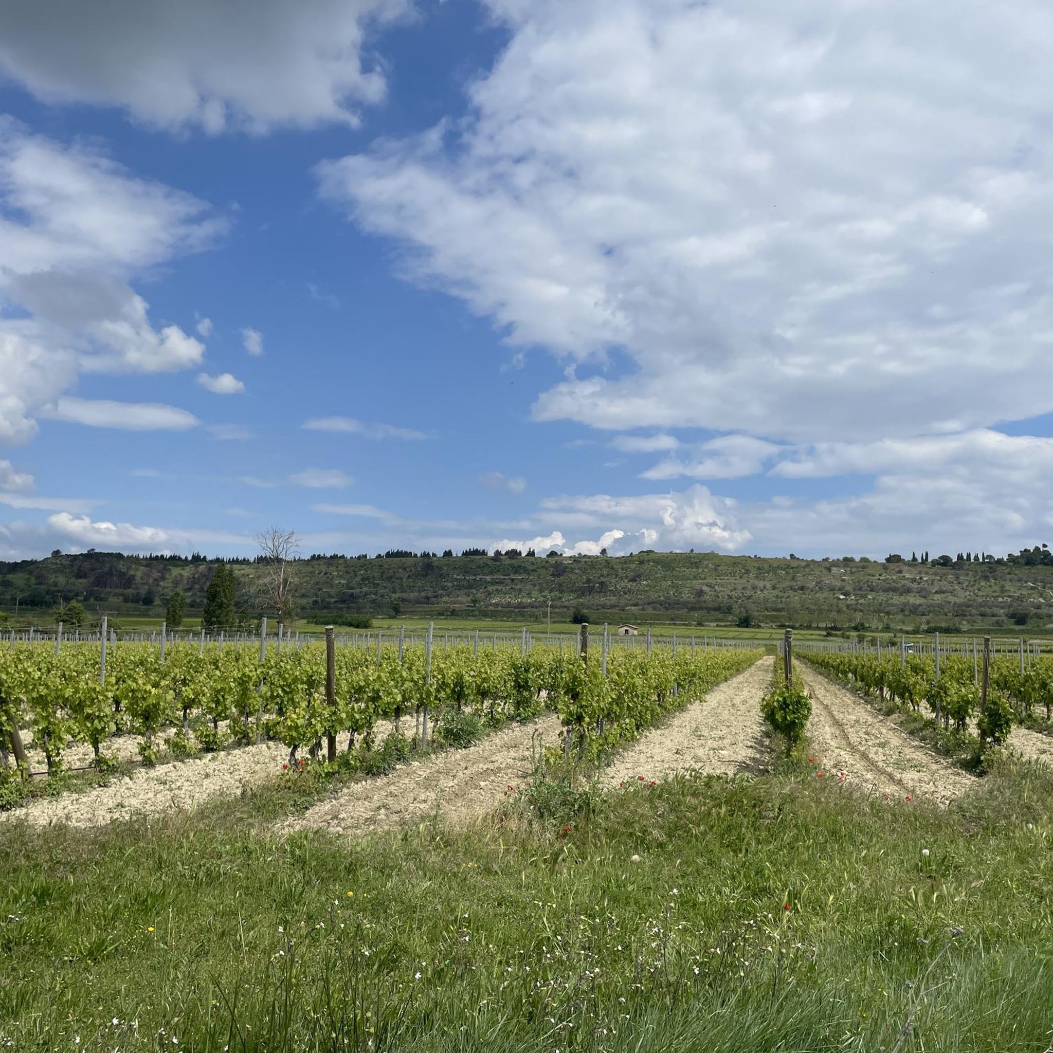
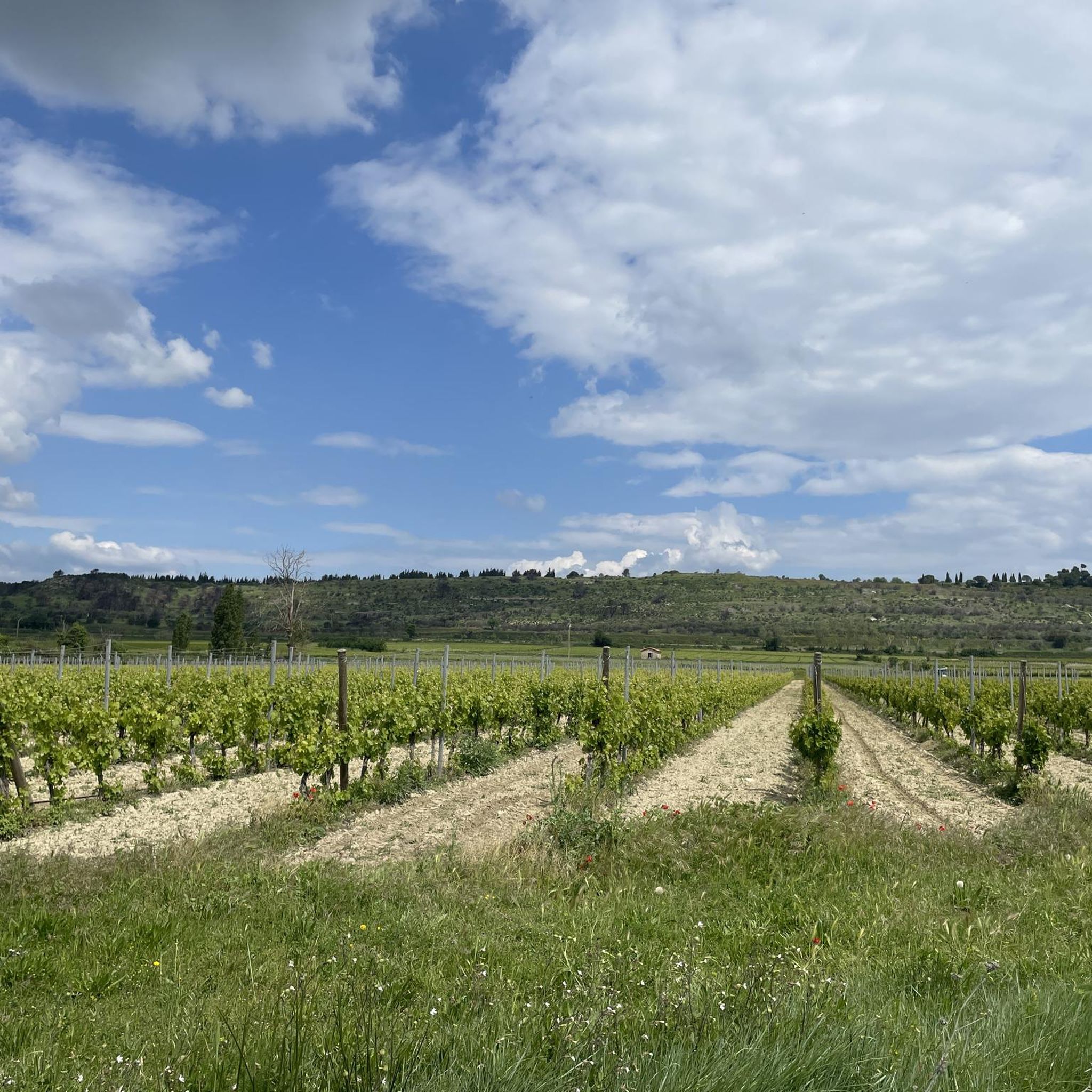
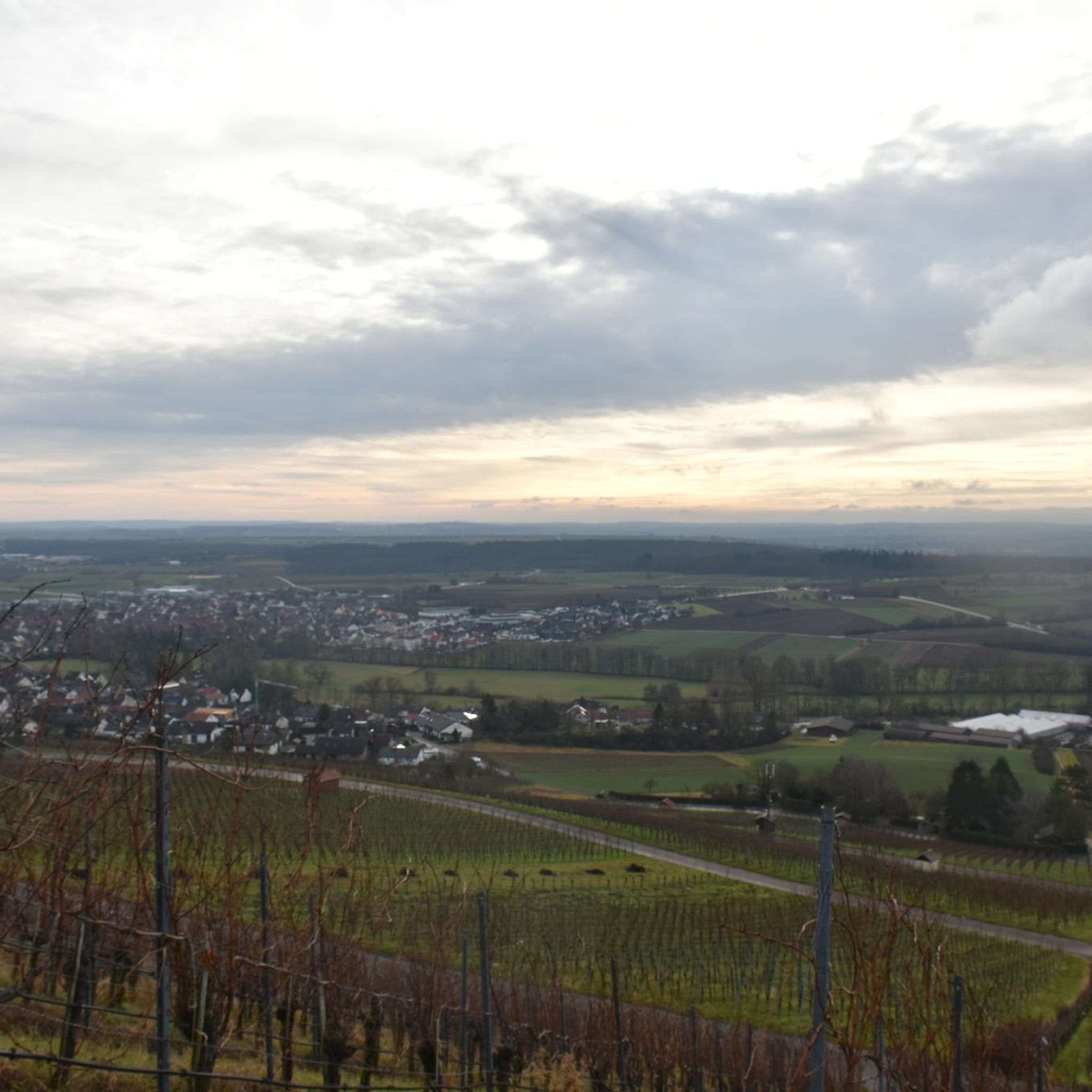
The Montady pond is a former pond, drained during the Middle Ages, located in the western part of the French department of Hérault, between Béziers and Narbonne. Thanks to drainage canals, the water is channeled towards a central collector, which explains the star-shaped layout of the fields and vineyards. This canal system dates back to the 13th century. Sixty drainage ditches converge at the circular ditch, called the Redondel, in the center of the former pond. The water is then carried away by a counter-sloping ditch towards the Capestang pond and through a tunnel under the Ensérune hill and the Malpas tunnel. The tunnel is located at a depth of 29.5 meters below the Malpas pass and 16 meters below the Canal du Midi tunnel. The pond is visible from the Montady tower, a remnant of the former 12th-century castle, and from the top of the hill, the Ensérune oppidum. Heavy rainfall, like that at the end of October 2019, can cause it to reappear. (Wikipedia)
0
0
With its tree-lined squares, fountains, and narrow streets, Capestang is a lively village with a typical Mediterranean atmosphere. The village is located just twenty kilometers from the sea. Who would suspect, passing through, that its fate was long linked to the harvesting of sea salt? Indeed, the pond that gave it its name, "Lou Cap de l'estang" (meaning "the head of the pond"), brought wealth to the town around the 14th century. Largely dried up today, it is reborn with the rains and floods, creating a protected wetland landscape classified as a Natura 2000 site, where various species of birds and flamingos come to nest. Thanks to its salt marshes, its fertile land, and its geographical location at the crossroads of trade routes, Capestang experienced its golden age in the Middle Ages. From this rich historical past remain unique monuments that make Capestang such a singular city, where life is good.
1
0


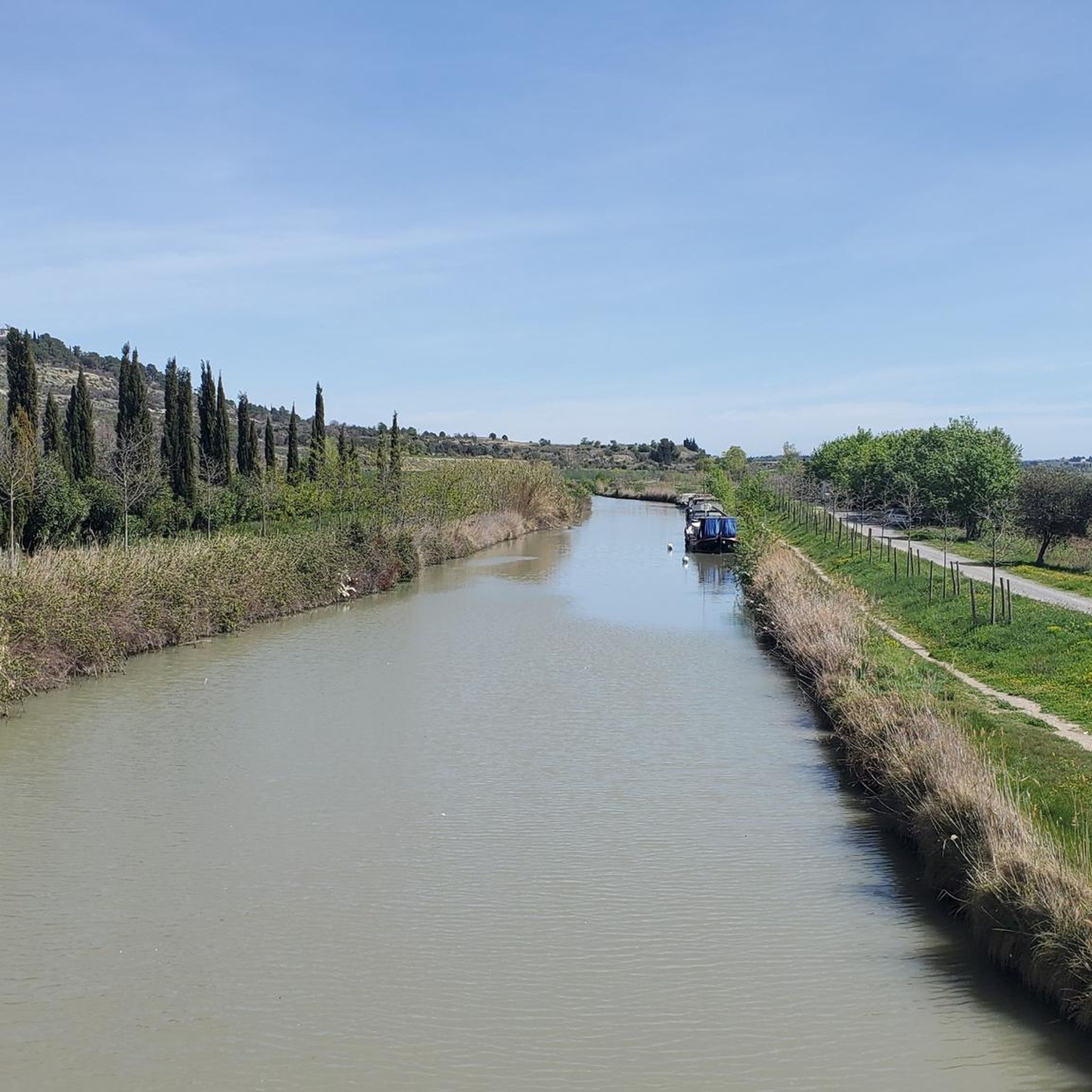
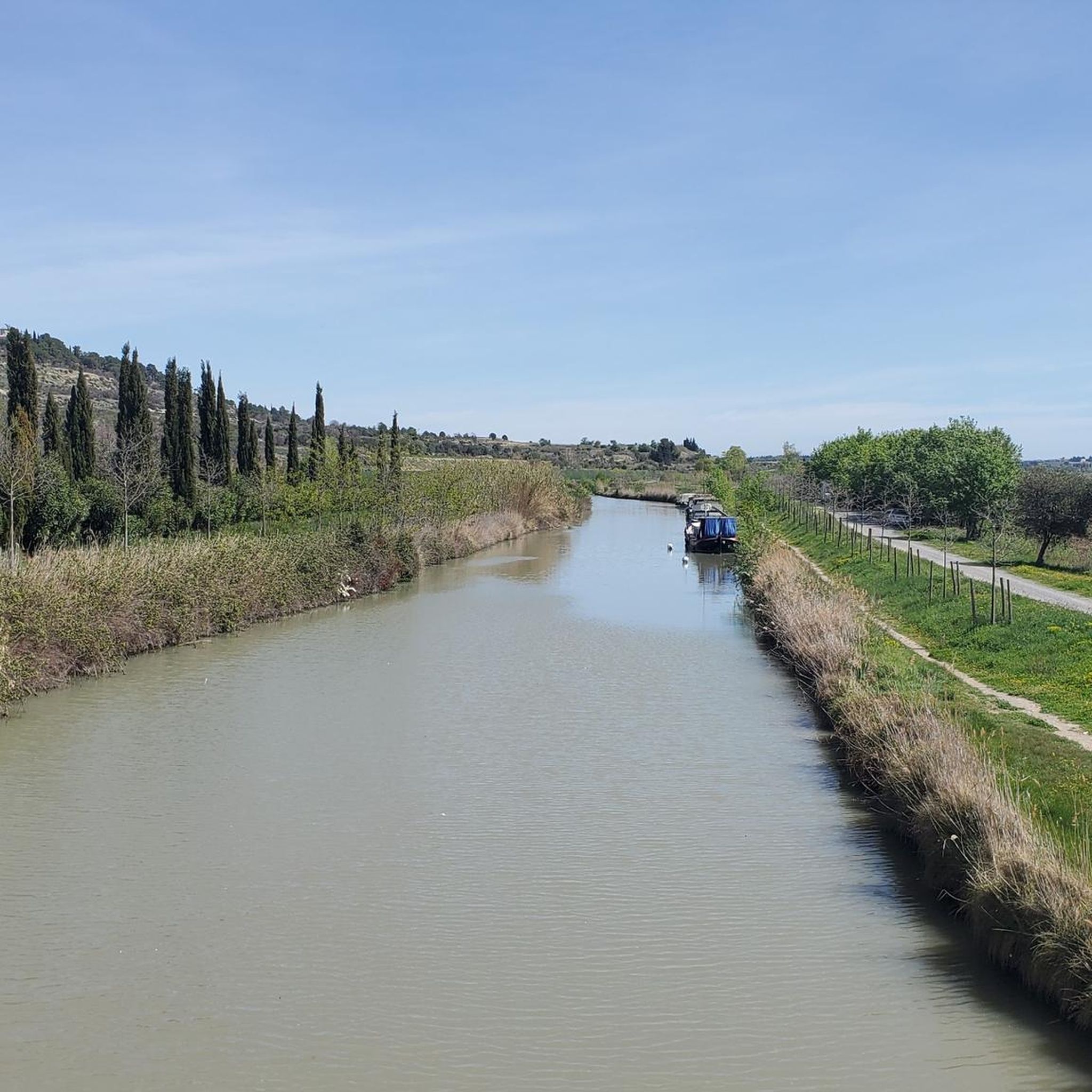
This pretty little village located on the banks of the Canal du Midi was built around the superb Saint-Etienne collegiate church. At the crossroads of several rivers, it is also the starting point of the GR 78, the Piedmont route.
1
0

Imposing ship tunnel on the Canal du Midi.
2
0
Canal tunnel and view of the former pond landscape.
3
0
Frequently Asked Questions
How many hiking trails are available around Poilhes?
There are over 120 hiking routes around Poilhes, offering a wide range of experiences. You'll find a good mix of easy strolls and more challenging treks, with 52 easy routes, 67 moderate routes, and 2 difficult options to explore.
What kind of landscapes can I expect to see while hiking in Poilhes?
Hiking in Poilhes offers incredibly diverse landscapes. You can walk along the historic Canal du Midi, a UNESCO World Heritage site, with its plane trees and 17th-century engineering marvels like locks and tunnels. The region also features vast vineyards, the bird-rich Capestang Lake wetland, rolling hills, and even more rugged terrain towards the Monts du Haut-Languedoc.
Are there any family-friendly hiking options in Poilhes?
Yes, Poilhes has many easy routes suitable for families. For example, the Malpas Tunnel – Malpas Tunnel loop from Colombiers is an easy 3.5 km path that explores the Canal du Midi and its engineering. Another gentle option is the Beautiful view of the plain – Etang de Montady loop from Colombiers, a 3.1 km trail with open views.
Can I find circular hiking routes in the Poilhes area?
Absolutely. Many of the trails around Poilhes are circular, allowing you to start and end at the same point. A popular moderate circular route is the 8.4 km Etang de Montady viewpoint – Malpas Tunnel loop from Colombiers, offering great views and historical sights. For a longer moderate option, consider the 14.5 km Malpas Tunnel – Beautiful view of the plain loop from Poilhes.
What historical or cultural attractions can I see on a hike near Poilhes?
The region is rich in history. You can hike past the ancient Oppidum d'Ensérune, a major Gaulish settlement, or even walk along vestiges of the Roman road, Via Domitia. Along the Canal du Midi, you'll encounter impressive structures like the Malpas Tunnel, the Fonseranes Locks, and the Orb Canal Bridge. The nearby city of Béziers also offers the historic Pont Vieux and the stunning Saint-Nazaire Cathedral.
What do other hikers say about the trails in Poilhes?
The hiking trails in Poilhes are highly regarded by the komoot community, with an average rating of 4.6 stars from over 340 reviews. Hikers often praise the varied terrain, the picturesque Canal du Midi, and the opportunities to explore historical sites and natural beauty like the Capestang Lake.
Are there any routes that offer panoramic views?
Yes, several routes provide excellent panoramic views. The Etang de Montady viewpoint – Malpas Tunnel loop from Colombiers offers views of the unique Etang de Montady. The Oppidum d'Ensérune, a historical site, also provides breathtaking panoramic vistas of the surrounding plains and wetlands.
What are some notable natural features to look out for on hikes?
Beyond the Canal du Midi, keep an eye out for the vast Capestang Lake, a Natura 2000 zone known for its abundant birdlife. The region also features extensive vineyards, lush forests, and impressive rock formations in nearby areas like the Gorges de Colombières, offering a diverse natural experience.
Are there any trails that pass by water features other than the Canal du Midi?
While the Canal du Midi is the most prominent water feature, the region is also home to the large Capestang Lake (Étang de Capestang), a significant wetland area. Some trails offer views of or pass close to this lake, providing opportunities for nature observation, especially birdwatching.
What is the best time of year to go hiking in Poilhes?
The region around Poilhes generally enjoys a Mediterranean climate. Spring and autumn are often ideal for hiking, with pleasant temperatures and beautiful scenery, especially during the grape harvest in the vineyards. Summers can be hot, so early morning or late afternoon hikes are recommended, while winters are generally mild.
Are there any trails that explore the local vineyards?
Yes, the region is famous for its vineyards, particularly those of Saint-Chinianais. Many hiking routes wind through these agricultural lands, offering a chance to experience the local viticulture up close. The OENORANDO® LES COTEAUX D'ENSÉRUNE is an example of a route designed to showcase the wine-growing landscape.
Most popular attractions around Poilhes

Get inspired with the komoot mobile app


Explore more
Browse the best Hikes in other regions.
