The best walks and hikes around Murviel-Lès-Béziers
4.5
(526)
2,219
hikers
202
hikes
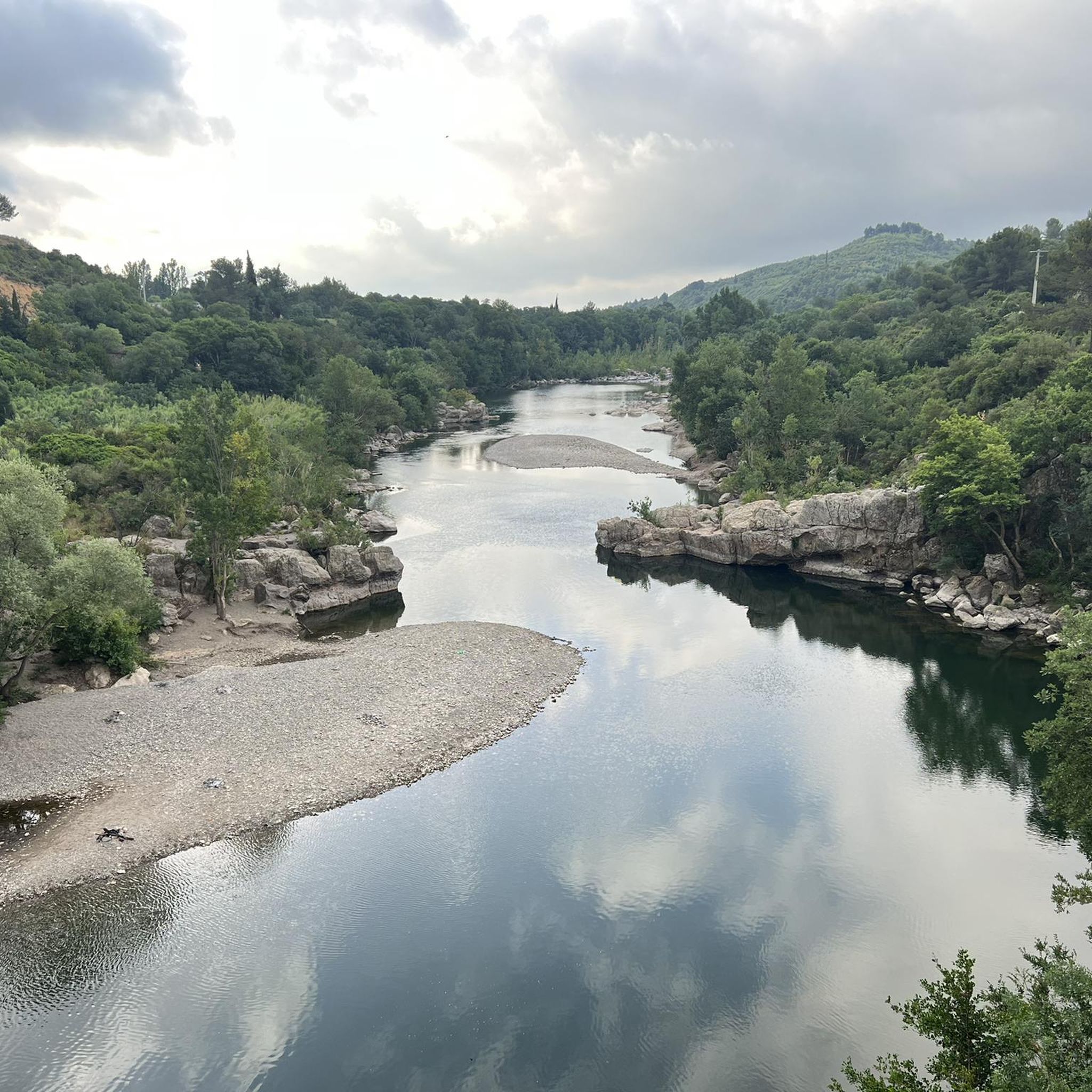
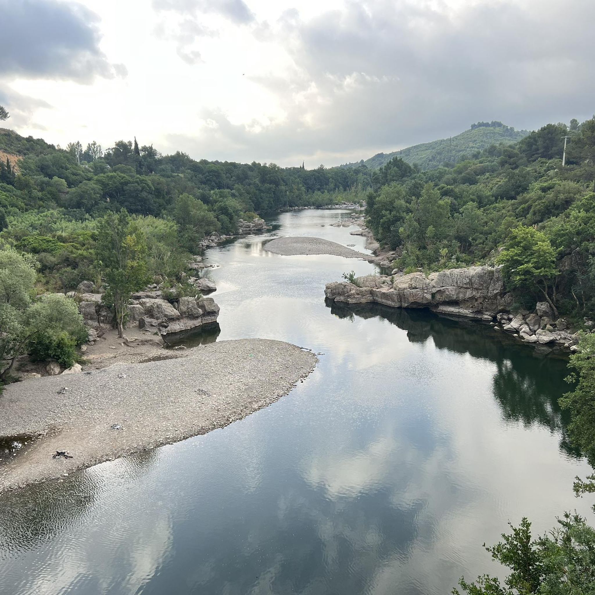
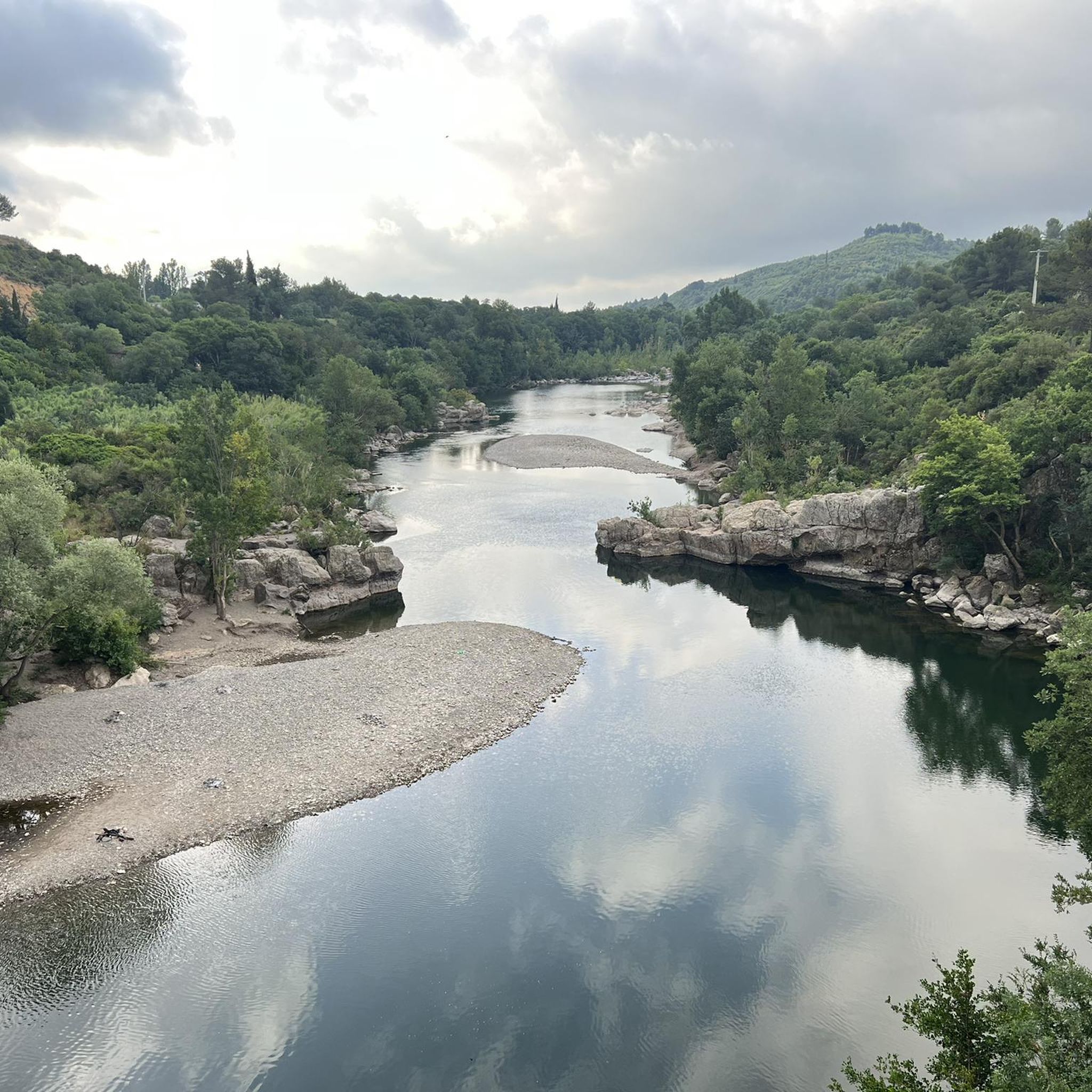
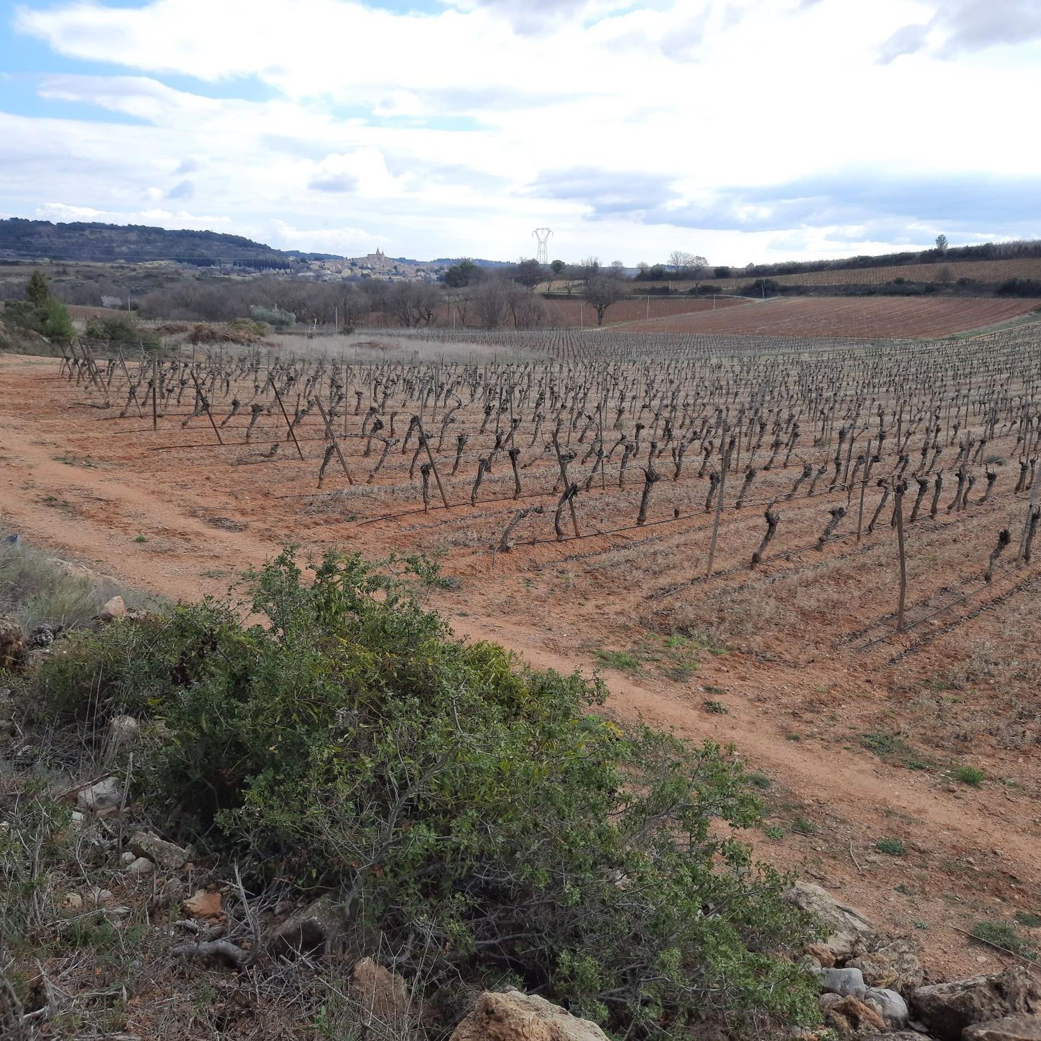
Hiking around Murviel-Lès-Béziers offers diverse landscapes, from picturesque vineyards and fragrant garrigue to serene pine forests. The region is characterized by varied topography, including the dramatic Gorges de Réals in the Orb valley, where the river navigates through rocky formations. Elevated points provide expansive views of distant mountain ranges like the Massif du Caroux and the Mediterranean Sea on clear days.
Best hiking trails around Murviel-Lès-Béziers
- The most popular hiking route is Summit Viewpoint with Cross loop from Murviel-lès-Béziers,…
Last updated: July 9, 2026
4.6
(15)
58
hikers
5.04km
01:26
110m
110m
Easy hike. Great for any fitness level. Easily-accessible paths. Suitable for all skill levels.
4.9
(14)
63
hikers
10.3km
02:49
170m
170m
Moderate hike. Good fitness required. Easily-accessible paths. Suitable for all skill levels.

Sign up for free
4.4
(10)
58
hikers
Moderate hike. Good fitness required. Easily-accessible paths. Suitable for all skill levels.
4.8
(8)
21
hikers
13.2km
04:12
480m
480m
Moderate hike. Good fitness required. Mostly accessible paths. Sure-footedness required.
4.2
(6)
17
hikers
12.1km
03:13
130m
130m
Moderate hike. Good fitness required. Easily-accessible paths. Suitable for all skill levels.
Get access to more routes and recommendations from other explorers.
Sign up for free
Already have an account?
Our route recommendations are based on thousands of hikes, rides, and runs completed by other people on komoot.
Start today with a free account
Your next adventure awaits.
Login or Signup

Tips from the Community

A great vantage point with a good view of the plains. This short hike is worth it.
0
0

Easy hike on little-used paths. View of the Caroux
0
0


Good landmark. Allows the path towards puech de la sucre and Mt. Peyroux.
0
0
Great view, in good weather to the Mediterranean Sea. When the weather is good, you can see the Pyrenees 120 km away.
1
0

Bicycle road on old railway. Perfectly rideable for touring and gravel bikes. At Saint-Chinian there is a large car park at a new multifunctional center.
1
0

Frequently Asked Questions
How many hiking trails are available around Murviel-lès-Béziers?
There are over 190 hiking routes around Murviel-lès-Béziers, offering a wide variety of options for all skill levels. You'll find everything from easy strolls through vineyards to more challenging moderate routes.
What kind of landscapes can I expect on hikes around Murviel-lès-Béziers?
The region boasts diverse and scenic landscapes. You can expect to hike through picturesque vineyards, fragrant garrigue, and serene pine forests. Many trails offer stunning views of the Orb valley, the dramatic Gorges de Réals, and distant mountain ranges like the Massif du Caroux and the Espinouse. On clear days, you might even spot the Mediterranean Sea.
What are the difficulty levels of hiking trails in this area?
Murviel-lès-Béziers caters to various fitness levels. Out of 194 routes, 77 are considered easy, 111 are moderate, and 6 are more difficult. This means you can find pleasant walks through vineyards or more strenuous routes depending on your preference.
What do other hikers say about the trails in Murviel-lès-Béziers?
The trails in Murviel-lès-Béziers are highly rated by the komoot community, with an average score of 4.5 stars from over 470 reviews. Hikers often praise the varied terrain, the beautiful views, and the well-maintained paths that lead through vineyards and natural landscapes.
Are there any circular hiking routes available?
Yes, many of the routes around Murviel-lès-Béziers are circular, allowing you to start and end at the same point. For example, the Cessenon vers Cazal Viel – Vue sur l’étang Sevignac loop from Murviel-lès-Béziers is a moderate 11.7 km circular hike offering varied scenery.
Are the hiking trails around Murviel-lès-Béziers suitable for families?
Yes, there are many family-friendly options, particularly among the 77 easy routes. These often involve pleasant walks through vineyards and pine forests, which are not overly challenging. Look for shorter, less elevated trails for a comfortable family outing.
Can I bring my dog on the hiking trails?
Many trails in the Murviel-lès-Béziers area are dog-friendly, especially those through natural landscapes like garrigue and pine forests. However, it's always advisable to keep your dog on a leash, especially near vineyards or in areas with livestock, and to check local regulations for specific routes.
What historical or natural attractions can I see while hiking?
Hiking routes often incorporate cultural and historical points of interest. You might encounter unique tower pigeon lofts that dot the landscape, or trails that lead to or offer views of the historic Abbaye de Fontcaude. The dramatic Gorges de Réals and the panoramic views from the presqu'île de Rouens are also notable natural highlights.
What is the best time of year to go hiking in Murviel-lès-Béziers?
The region is enjoyable for hiking for much of the year. Spring and autumn offer pleasant temperatures and vibrant landscapes, with blooming garrigue or rich autumnal colors in the vineyards. Summers can be hot, so early morning or late afternoon hikes are recommended, while winters are generally mild, allowing for comfortable walks.
Are there any longer, more challenging routes for experienced hikers?
Yes, for those seeking a greater challenge, there are several moderate to difficult routes. For instance, the Mont Peyroux summit – Mount Peyroux loop from Saint-Nazaire-de-Ladarez is a 13.4 km moderate route with significant elevation gain, offering rewarding views from the summit.
Where can I find parking for hiking trails?
Many trailheads around Murviel-lès-Béziers, especially those starting from villages or popular natural sites, offer designated parking areas. It's recommended to check the starting point details of your chosen route on komoot for specific parking information.
Are there any trails with panoramic views?
Absolutely. The region is known for its expansive vistas. The Summit Viewpoint with Cross loop from Murviel-lès-Béziers is a popular choice specifically for its panoramic views. Additionally, elevated points within the Gorges de Réals and along many vineyard trails provide stunning outlooks over the surrounding landscapes and distant mountains.
Most popular routes around Murviel-Lès-Béziers
Most popular attractions around Murviel-Lès-Béziers

Get inspired with the komoot mobile app


Explore more
Browse the best Hikes in other regions.
