The best running trails around Longueil-Annel
4.6
(137)
6,633
runners
404
runs
Jogging around Longueil-Annel offers a variety of running routes through the local landscape. The region features relatively flat terrain, with routes often following riverside paths and connecting nearby villages. Elevation gains are generally low, making many trails accessible for different fitness levels. The area provides opportunities to explore the natural surroundings and local points of interest while running.
Best jogging routes around Longueil-Annel
- The most popular jogging route is Running loop from Thourotte, a 6.2 miles (10.0 km) trail…
Last updated: July 5, 2026
13
runners
9.82km
01:03
30m
30m
Moderate run. Good fitness required. Mostly paved surfaces. Suitable for all skill levels.
15
runners
Moderate run. Good fitness required. Mostly paved surfaces. Suitable for all skill levels.

Sign up for free
9
runners
9.98km
01:02
60m
60m
Moderate run. Good fitness required. Mostly paved surfaces. Suitable for all skill levels.
9
runners
6.50km
00:50
90m
90m
Moderate run. Good fitness required. Mostly paved surfaces. Suitable for all skill levels.
11
runners
Moderate run. Good fitness required. Mostly paved surfaces. Suitable for all skill levels.
Get access to more routes and recommendations from other explorers.
Sign up for free
Already have an account?
Our route recommendations are based on thousands of hikes, rides, and runs completed by other people on komoot.
Start today with a free account
Your next adventure awaits.
Login or Signup


Tips from the Community

In the heart of the Compiègne forest, the Armistice Glade marks the place where the armistice was signed on November 11, 1918, and then that of June 22, 1940. The site today includes the memorial with the “Armistice Wagon” (recreated car), the statue of Marshal Foch and the Alsace-Lorraine monument.
0
0
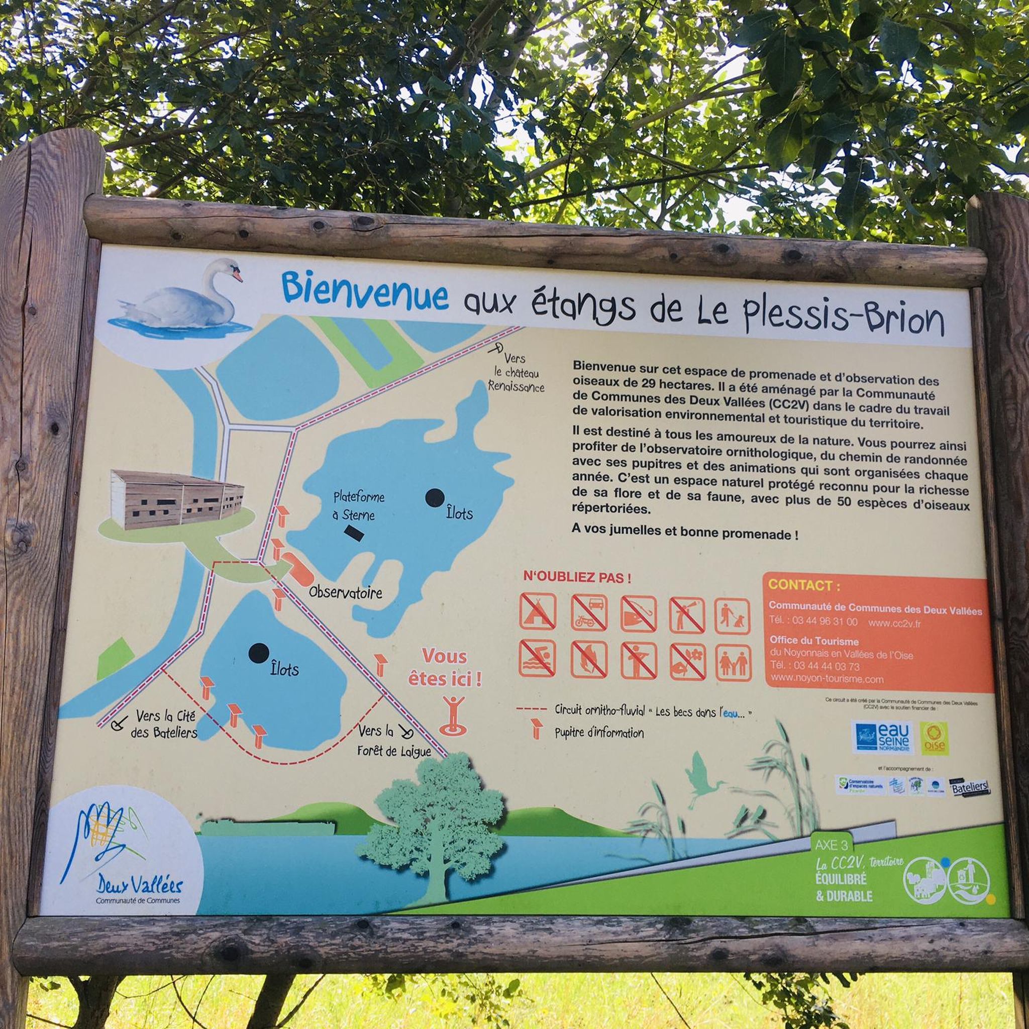
Located along the canal in Longueil-Annel, the Cité des Bateliers (Watermen's City) showcases the history of boatmen and local river life. The museum, housed in a former boatman's house and barges, showcases the daily lives of families who lived by the rhythm of navigation.
0
0

Anecdote: A bitter historical turning point occurred in 1940, when Adolf Hitler chose the exact same spot to sign the French surrender to Nazi Germany — in the same train car. He literally reenacted the 1918 scene, but with the roles reversed. Shortly afterwards, he had the car shipped to Berlin as a trophy. The site was partly destroyed, but was redeveloped as a memorial site after the war.
7
0
The Clairière de l'Armistice, or Armistice Place, is a clearing deep in the Compiègne Forest in northern France. It was here that the armistice ending World War I was signed on 11 November 1918. The signing took place in a railway carriage belonging to Marshal Foch, who had been brought to this remote location especially for discretion.
7
0

Very nice outing along the Oise
0
0

Here you can enjoy this magnificent path which runs along the Aisne.
3
0
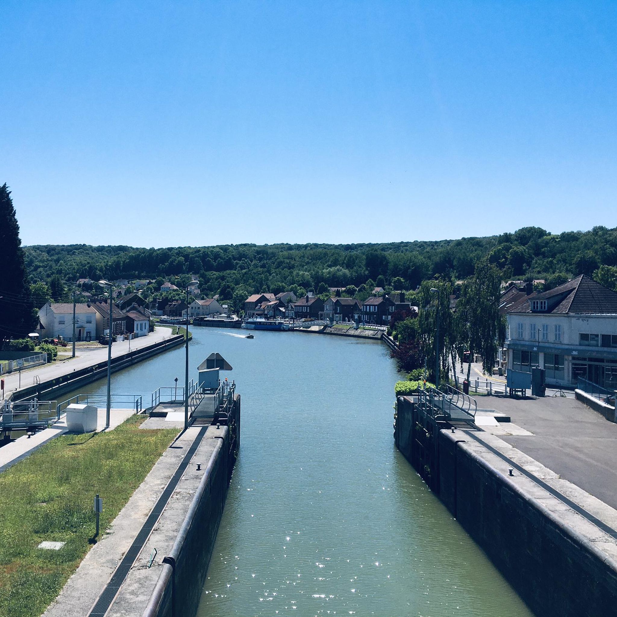
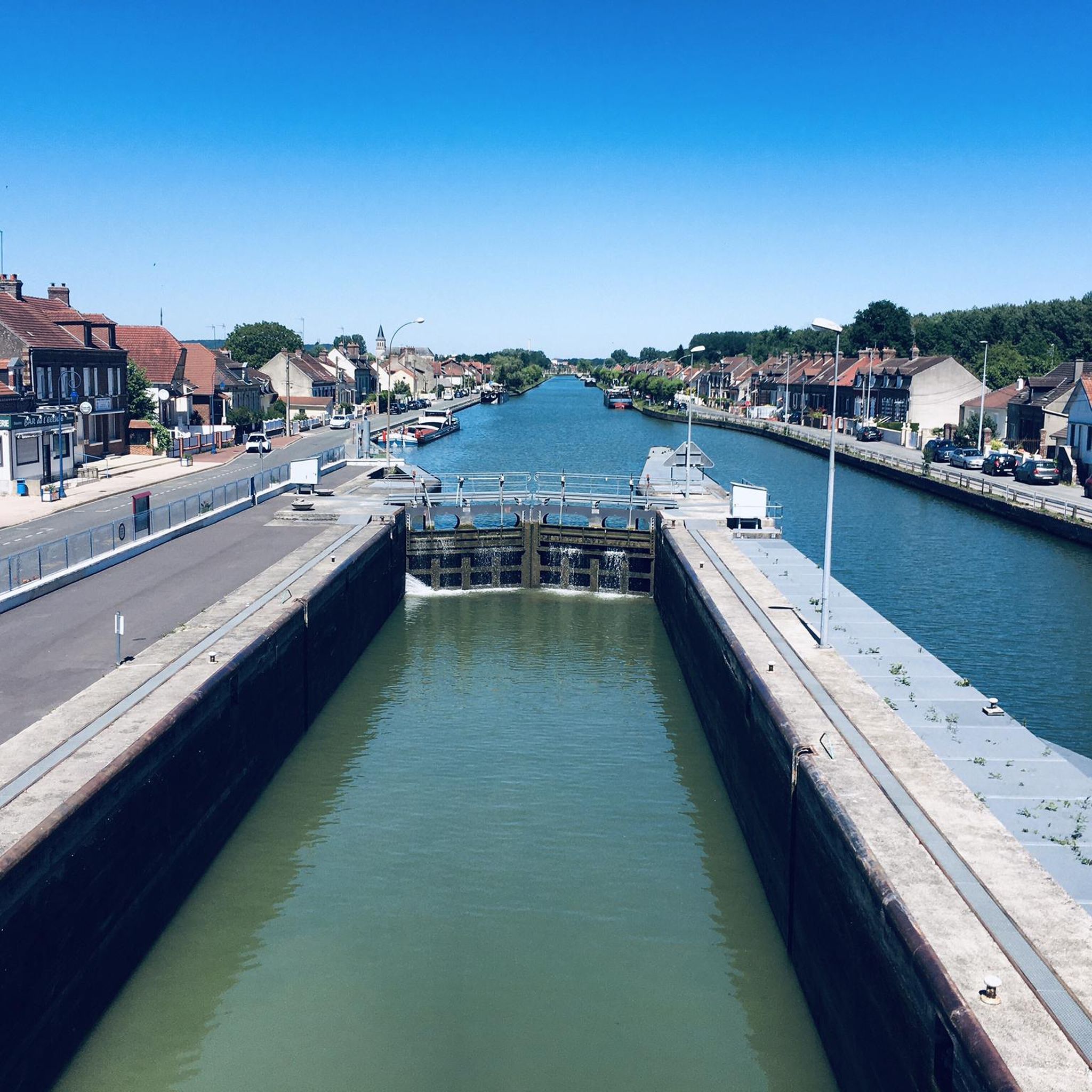
Here we find a magnificent lock which regulates the flow of water from the side canal to the Oise. You can have a better view of the canal if you take the pedestrian bridge that allows you to cross the watercourse. To your cameras!
2
0

Frequently Asked Questions
How many running routes are available in Longueil-Annel?
There are over 370 running routes around Longueil-Annel, offering a wide variety of options for different preferences and fitness levels.
What are the typical difficulty levels for running trails in Longueil-Annel?
The running trails in Longueil-Annel primarily feature moderate difficulty, with 287 routes falling into this category. There are also 44 easy routes suitable for beginners and 44 more challenging options for experienced runners.
Are there easy running trails for beginners in Longueil-Annel?
Yes, Longueil-Annel offers 44 easy running routes, perfect for beginners or those looking for a relaxed jog. These routes generally feature flat terrain, often following riverside paths, making them accessible for various fitness levels.
Can I find short running loops in Longueil-Annel?
Absolutely. Many routes in the area are designed as loops. For example, the Lock of Longueil Annel, loop from Longueil-Annel is a moderate 4.4-mile (7.1 km) trail that can be completed in about 46 minutes, offering a great shorter option.
Are there family-friendly running routes suitable for all ages in Longueil-Annel?
The region's generally flat terrain and numerous riverside paths make many routes suitable for families. Look for the 'easy' rated trails, which are typically well-maintained and offer a pleasant experience for all ages.
Are dogs allowed on the running trails around Longueil-Annel?
While specific regulations can vary, many natural trails and paths in the Longueil-Annel area are generally dog-friendly, especially if your dog is kept on a leash. Always be mindful of local signage and other trail users.
When is the best time of year to go running in Longueil-Annel?
The Longueil-Annel region is enjoyable for running throughout much of the year. Spring and autumn offer pleasant temperatures and beautiful scenery. Summer can be warm, so early morning or late evening runs are often preferred. Winter running is also possible, though some paths might be muddy or require appropriate gear.
What can I see along the running routes in Longueil-Annel?
Many running routes follow scenic riverside paths and pass through local villages. You can also explore nearby attractions. For instance, the The Aisne at Choisy-au-Bac – Clairière de l'Armistice loop from Janville route brings you close to the historic Armistice Clearing (Clairière de l’Armistice), Compiègne.
Are there any interesting landmarks or historical sites near the running trails?
Yes, the area around Longueil-Annel is rich in history and landmarks. You can find impressive sites like the Château de Compiègne and the Armistice Clearing (Clairière de l’Armistice), Compiègne. Some running routes may pass close to these or other historical points of interest.
What do other runners enjoy most about jogging in Longueil-Annel?
The running experience in Longueil-Annel is highly rated by the komoot community, with an average score of 4.5 stars from over 100 reviews. Runners often praise the varied terrain, the peaceful riverside paths, and the opportunity to explore local villages and natural surroundings.
Are there any longer running routes for endurance training?
Yes, for those seeking longer distances, routes like The Aisne at Choisy-au-Bac – Clairière de l'Armistice loop from Janville, at 6.9 miles (11.1 km), or Running loop from Thourotte, at 6.2 miles (10.0 km), provide excellent options for longer runs.
How accessible are the running trails in Longueil-Annel by public transport?
While specific public transport links to trailheads can vary, Longueil-Annel and surrounding villages are generally connected by local bus services. It's advisable to check local transport schedules for the most convenient access points to specific routes.
Most popular routes around Longueil-Annel
Most popular attractions around Longueil-Annel

Get inspired with the komoot mobile app


Explore more
Browse the best Running Trails & Routes in other regions.
