The best running trails around Moulès-Et-Baucels
4.4
(45)
1,153
runners
151
runs
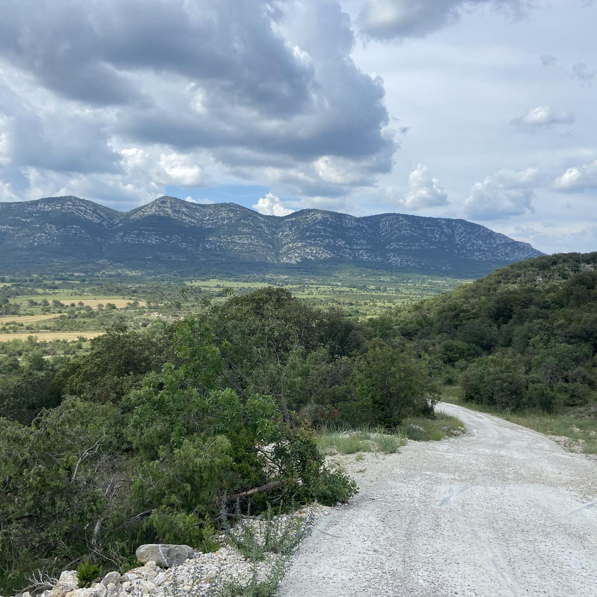
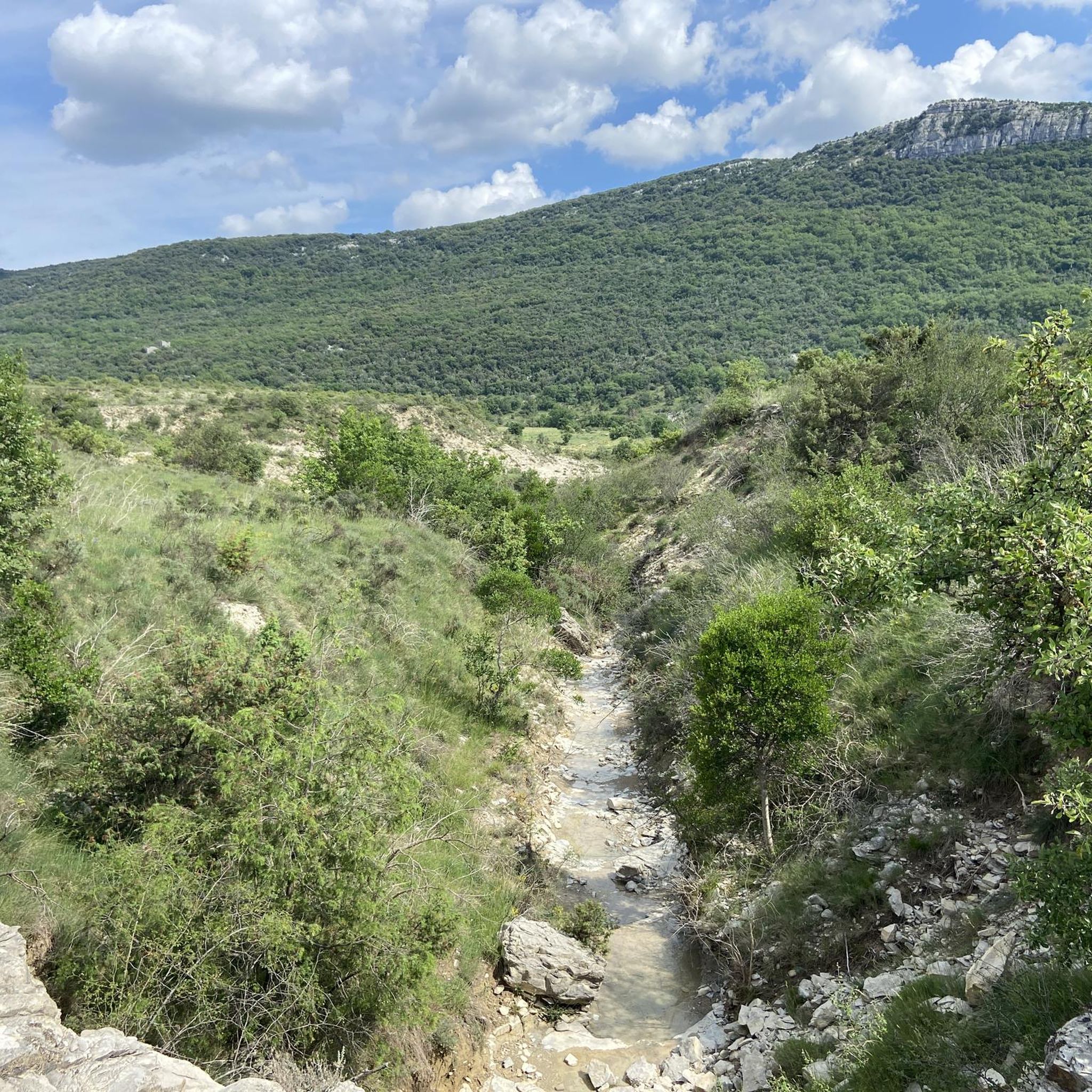
Jogging around Moulès-Et-Baucels offers diverse terrain within the Hérault department, situated between the Massif du Thaurac and Montagne des Cagnasses. The region features garrigue vegetation and limestone soil, transitioning into the Cévennes foothills with more mountainous landscapes. Runners can explore paths along the Hérault Gorges or utilize the flat, accessible "Voie Verte" greenway.
Best jogging routes around Moulès-Et-Baucels
- The most popular jogging route is Sumène loop from Ganges, a 7.4 miles (11.9 km) trail that takes 1 hour 16…
Last updated: July 8, 2026
5.0
(3)
75
runners
11.9km
01:17
160m
160m
Moderate run. Good fitness required. Mostly paved surfaces. Suitable for all skill levels.
5.0
(3)
42
runners
7.11km
00:46
120m
120m
Moderate run. Good fitness required. Mostly paved surfaces. Suitable for all skill levels.

Sign up for free
21
runners
13.7km
01:25
80m
80m
Moderate run. Good fitness required. Mostly paved surfaces. Suitable for all skill levels.
22
runners
15.9km
02:43
900m
900m
Hard run. Very good fitness required. Sure-footedness, sturdy shoes and alpine experience required.
5.0
(1)
8
runners
10.3km
01:11
250m
250m
Moderate run. Good fitness required. Mostly paved surfaces. Suitable for all skill levels.
Get access to more routes and recommendations from other explorers.
Sign up for free
Already have an account?
Our route recommendations are based on thousands of hikes, rides, and runs completed by other people on komoot.
Start today with a free account
Your next adventure awaits.
Login or Signup

Tips from the Community

Superb 360° views. Be careful of the wind, bring a sweater :)
0
0

Crossing cave walled at the ends (hence the name “Clauside”).
1
0
With its 713m altitude, the Ranc de Banes offers a magnificent belvedere over the village of Sumène and the Rieutord valley.
1
0

This town has a remarkable natural heritage! You will find on the territory, the regional nature reserve of Combe Chaude as well as the gorges of Rieutord. It also encompasses five natural areas of ecological, faunal and floristic interest.
2
0
Frequently Asked Questions
How many running trails are available around Moulès-Et-Baucels?
Moulès-Et-Baucels offers a wide selection of running trails, with over 150 routes to explore. These include 7 easy routes, 83 moderate routes, and 68 difficult routes, catering to various fitness levels and preferences.
What kind of terrain can I expect on the running routes in Moulès-Et-Baucels?
The terrain around Moulès-Et-Baucels is incredibly diverse. You'll find paths through the Mediterranean garrigue and limestone soil, transitioning into more mountainous landscapes in the Cévennes foothills. Options range from the flat, accessible "Voie Verte" greenway to trails with varied elevations in the Massif du Thaurac and Montagne des Cagnasses, and even some soft, marshy sections or rocky escarpments.
Are there any scenic viewpoints or natural landmarks to discover while jogging in Moulès-Et-Baucels?
Absolutely! The region is rich in natural beauty. You can enjoy panoramic views from the Ranc de Banes Viewpoint, or take in the stunning View of the Upper Hérault Valley. The Combe Chaude Nature Reserve also offers breathtaking 360-degree panoramas from Pic Saint-Loup to Mont Aigoual. For those interested in geological features, there are caves like Aven de la Dame and Aven des Combrelles.
Are there any easy or beginner-friendly running routes in the area?
Yes, Moulès-Et-Baucels has several options for easy jogs. The "Voie Verte" is a particularly good choice, as this former railway line is reserved for pedestrians and cyclists, offering a flat, accessible, and scenic 33-kilometer path ideal for uninterrupted running. You can also find 7 designated easy routes among the total trails available.
What do other runners enjoy most about jogging in Moulès-Et-Baucels?
The running routes in Moulès-Et-Baucels are highly rated by the komoot community, with an average score of 4.3 stars from over 40 reviews. Runners often praise the diverse terrain, from limestone massifs and garrigue landscapes to accessible greenways, and the variety of options for different ability levels, including challenging ascents and routes with stunning panoramic views.
Are there any running routes that offer great views?
Many routes provide spectacular vistas. For instance, the Baume Clauside – Viewpoints loop from Ganges is an 8.5-mile trail specifically designed to lead through elevated terrain with panoramic views. The ascent of "Ranc de Banes" within the Combe Chaude Nature Reserve also offers a 360-degree panorama from Pic Saint-Loup to Mont Aigoual, perfect for a scenic run.
Can I find circular running routes around Moulès-Et-Baucels?
Yes, many of the running trails in the region are circular, allowing you to start and finish in the same location. For example, the popular Running loop from Moulès-et-Baucels is a moderate 8.5-mile path that provides a great exploration of the local surroundings with gentle elevation changes.
Are there any running routes near water or rivers?
Yes, the proximity to the Hérault Gorges means you can find opportunities for runs along riverbanks or trails that offer views of the dramatic river-carved landscapes. The Sumène loop from Ganges is a moderate 7.4-mile trail that offers varied terrain along the Sumène river, providing a refreshing experience.
What is the best time of year for running in Moulès-Et-Baucels?
The region is generally pleasant for running outside of the peak summer heat. Spring and autumn offer mild temperatures and beautiful scenery, making them ideal for exploring the trails. Winters are generally mild, but some higher elevation paths might be cooler. Summer can be very hot, so early morning or late evening runs are recommended during this season.
Are there any longer, more challenging running routes for experienced trail runners?
For experienced trail runners seeking a challenge, Moulès-Et-Baucels and its surroundings offer several difficult routes. The Baume Clauside – Viewpoints loop from Moulès-et-Baucels is a demanding 6.4-mile route with significant elevation gain, providing a rigorous workout and rewarding views. The region's mountainous terrain in the Cévennes foothills also presents opportunities for more demanding ascents.
Are there options for running routes that connect to nearby villages?
Yes, the local communes are easily visitable on foot, implying interconnected trails and paths. The "Voie Verte" greenway, for example, is a 33-kilometer path that connects to nearby villages, offering a great way to extend your run and explore the surrounding countryside.
Most popular routes around Moulès-Et-Baucels
Most popular attractions around Moulès-Et-Baucels

Get inspired with the komoot mobile app


Explore more
Browse the best Running Trails & Routes in other regions.
