The best walks and hikes around Saint-Laurent-De-La-Salanque
4.5
(997)
7,640
hikers
266
hikes
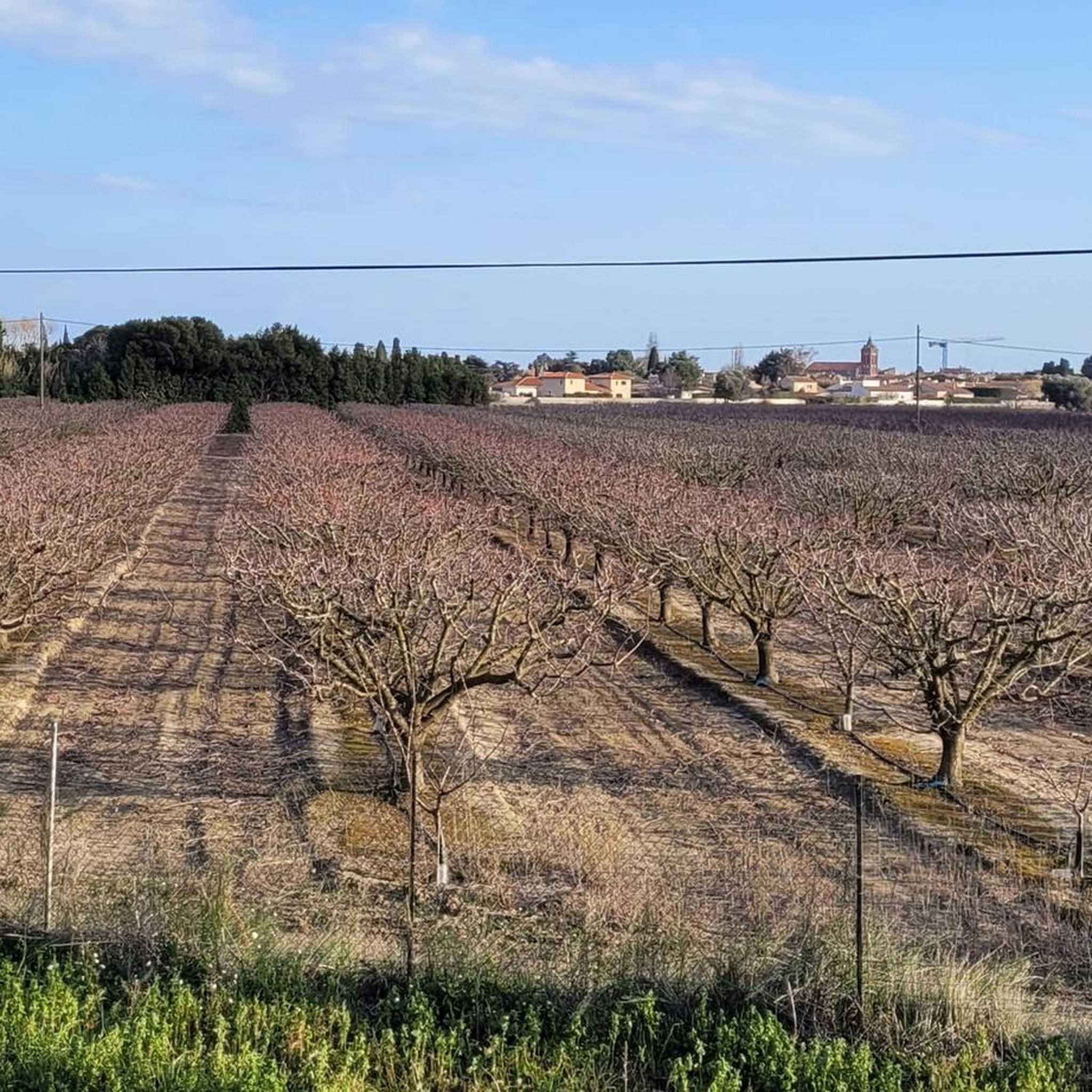
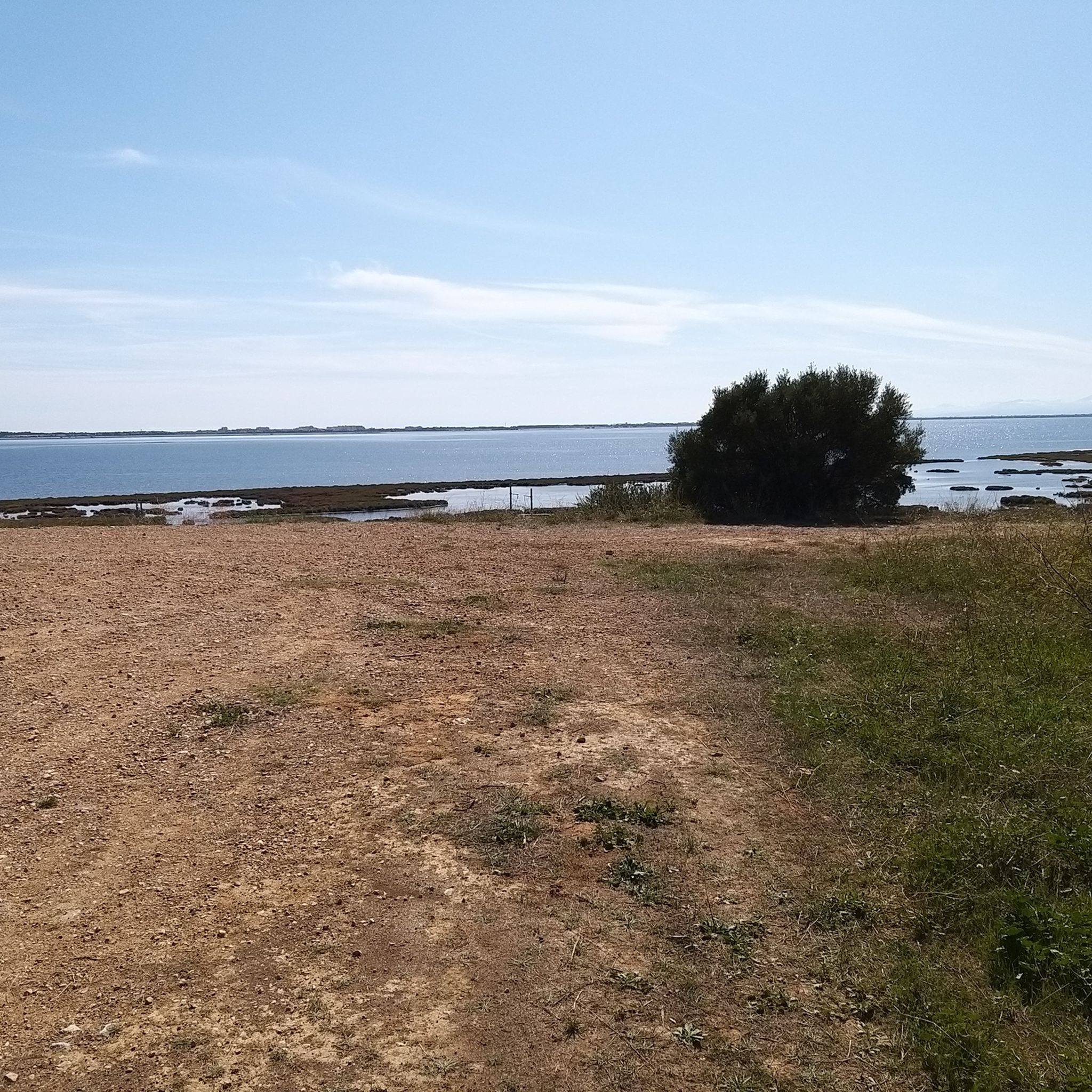
Hiking around Saint-Laurent-De-La-Salanque offers diverse landscapes, blending coastal beauty with fertile agricultural plains. The region is characterized by its proximity to the Mediterranean Sea, the Agly River, and the large coastal lagoon of Étang de Leucate. This area provides a range of trails, from flat coastal walks to routes through vineyards and orchards, catering to various fitness levels.
Best hiking trails around Saint-Laurent-De-La-Salanque
- The most popular hiking route is Sidya Beach – Mouth of the Agly River loop from Le Barcarès, a 4.4 miles (7.1 km) trail that takes 1 hour 47 minutes to complete. This easy route offers scenic views of the coastline and the Agly River mouth.
- Another top favourite among local hikers is Sidya Beach – Mouth of the Agly River loop from Tamaris (Le Barcarès), an easy 4.6 miles (7.4 km) path. This trail follows the coast, providing open views of the Mediterranean Sea.
- Local hikers also love the Torreilles Beach loop from Torreilles-Plage, a 3.1 miles (5.0 km) trail leading through coastal areas, often completed in about 1 hour 15 minutes.
- Hiking around Saint-Laurent-De-La-Salanque is defined by coastal paths, riverine environments, and routes through fertile plains, with options for different ability levels.
- The routes in Saint-Laurent-De-La-Salanque are highly rated by the komoot community with an average score of 4.5 stars from over 800 reviews. More than 6000 hikers have used komoot to explore Saint-Laurent-De-La-Salanque's varied terrain.
Last updated: July 4, 2026
5.0
(7)
44
hikers
5.57km
01:24
10m
10m
Easy hike. Great for any fitness level. Easily-accessible paths. Suitable for all skill levels.
5.0
(7)
30
hikers
Easy hike. Great for any fitness level. Easily-accessible paths. Suitable for all skill levels.

Sign up for free
26
hikers
5.73km
01:27
10m
10m
Easy hike. Great for any fitness level. Easily-accessible paths. Suitable for all skill levels.
4.3
(3)
25
hikers
14.6km
03:41
20m
20m
Moderate hike. Good fitness required. Easily-accessible paths. Suitable for all skill levels.
4.8
(9)
30
hikers
5.62km
01:25
0m
0m
Easy hike. Great for any fitness level. Easily-accessible paths. Suitable for all skill levels.
Get access to more routes and recommendations from other explorers.
Sign up for free
Already have an account?
Our route recommendations are based on thousands of hikes, rides, and runs completed by other people on komoot.
Start today with a free account
Your next adventure awaits.
Login or Signup

Tips from the Community

The ride is mostly on cycling paths with nice views and beautiful sceneries. The destination is unique and the many oyster shacks will serve oysters and other shell fish fresh from the catch and raw. Keep in mind that they don't serve anything else. With your meal you can get water, soft drinks or wine. The prices are very reasonable. We chose to go back along the litoral 8 via Toreilles Plage, which makes other a sixty plus km ride. Well worth it. Tip: check the weather as it can be very windy in this area. We had a 35km head wind going, but that was in our favour on the return.
0
0

Not seen... either it's no longer there or the GPS point is badly placed...
0
0

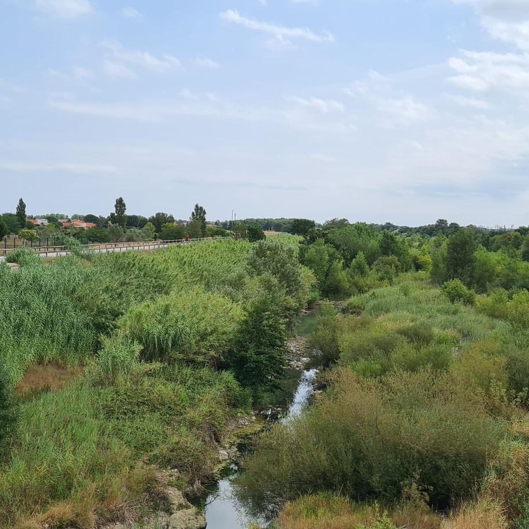
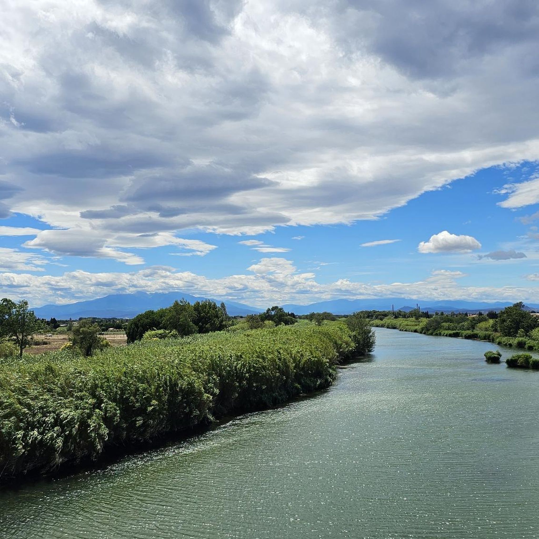
A very quiet and easy cycle path along the Agly.
1
0

Funny gimmick on the side... It's varied and cleverly done.
0
0
A wonderful route on good bike paths along the lake. Great views of the mountains in the background.
1
0

Barcarès beach is one of the most beautiful in the Occitanie region. A beautiful bike ride is possible along the banks.
0
0
Quiet, well-maintained and very smooth cycle path!
2
0

What can you beat with such a beach. Almost deserted in spring
0
0
Frequently Asked Questions
How many hiking trails are available in Saint-Laurent-De-La-Salanque?
There are over 260 hiking trails around Saint-Laurent-De-La-Salanque, offering a wide variety of experiences from coastal strolls to routes through agricultural plains.
What kind of landscapes can I expect to see while hiking in this region?
The region offers a unique blend of coastal and lagoon environments, with trails leading along the Mediterranean Sea, around the Étang de Leucate, and through the Agly River valley. You'll also find routes through fertile plains, vineyards, and orchards, often with distant views of the majestic Canigou massif in the Pyrénées.
Are there easy hiking options suitable for beginners or casual walkers?
Yes, Saint-Laurent-De-La-Salanque is very welcoming for beginners, with over 160 easy trails. A great option is the Torreilles Beach loop from Torreilles-Plage, which is 5 km long and takes about 1 hour 15 minutes to complete, offering pleasant coastal views.
What are some interesting natural features or attractions I can see on a hike?
You can explore diverse natural features, including the coastal areas around the Étang de Leucate and the mouth of the Agly River. For specific points of interest, consider visiting the Cycle Path Along the Agly River, or the unique Grau de Leucate Oyster Village near the lagoons.
Are there any longer or more challenging routes for experienced hikers?
While the area is predominantly known for its easier coastal and plain routes, there are 6 difficult trails and nearly 100 moderate routes for those seeking a greater challenge. A moderate option that covers a longer distance is the Hiking loop from Torreilles-Plage, which spans over 14 km.
What do other hikers enjoy most about the trails in Saint-Laurent-De-La-Salanque?
The trails in Saint-Laurent-De-La-Salanque are highly rated by the komoot community, with an average score of 4.5 stars from over 800 reviews. Hikers often praise the diverse coastal paths, the serene riverine environments, and the well-maintained routes through fertile plains.
Are there any circular hiking routes available?
Yes, many of the trails in the region are circular, allowing you to start and end at the same point. Popular circular options include the Sidya Beach – Mouth of the Agly River loop from Le Barcarès and the Camping Le Pré Catalan loop from Le Barcarès.
Is it possible to hike with dogs in Saint-Laurent-De-La-Salanque?
Generally, dogs are welcome on many trails in the Pyrénées-Orientales region, especially on natural paths away from protected bird nesting areas or crowded beaches. Always keep your dog on a leash and check local signage for any specific restrictions, particularly around nature reserves or during certain seasons.
What is the best time of year to go hiking in Saint-Laurent-De-La-Salanque?
The spring (April to June) and autumn (September to October) offer the most pleasant hiking conditions, with mild temperatures and less crowded trails. Summers can be hot, making early morning or late afternoon hikes preferable, especially along the coast where sea breezes provide some relief. Winters are generally mild, allowing for year-round hiking.
Are there family-friendly hiking routes in the area?
Absolutely. The abundance of easy and relatively flat trails makes Saint-Laurent-De-La-Salanque ideal for families. Many routes, particularly those along the coast or around the lagoons, are suitable for children and offer opportunities for nature observation.
Are there options for parking near the trailheads?
Yes, many popular trailheads, especially those near coastal towns like Le Barcarès and Torreilles-Plage, offer designated parking areas. It's advisable to check the specific route details on komoot for information on parking availability at your chosen starting point.
Most popular routes around Saint-Laurent-De-La-Salanque
Most popular attractions around Saint-Laurent-De-La-Salanque

Get inspired with the komoot mobile app


Explore more
Browse the best Hikes in other regions.
